G4YSS: Activation of G/LD-010, St. SUNDAY CRAG 08-06-21
Issue-1 (errors?)
LAKES WEEK- 6 th to 12 th June 2021:
G/LD’s: Day-1 LD9; Day-2 LD10 & LD8; Day-3 Nil; Day-4 LD3; Day-5 LD4
DAY-2 Tuesday:
G/LD-010, ST. SUNDAY CRAG on 2m-FM QRP, using G4YSS
Accompanied by David Barnes – Walking Group Leader
All times BST (UTC + 1)
EQUIPMENT:
IC-E90 4-Band, 5W, V/UHF H/H
Baofeng UV-5R, 5W, 2m/ 70cm H/H
Baofeng UV-3R, 2W, 2m/ 70cm H/H
2m Band Vertical J-Pole
Pack-weight: 8kg (17.6 lbs) Inc 0.5ltr fluids.
INTRODUCTION:
This was the second activation of our annual six-night break in the Lake District with the walking group staying at the Avondale B&B in Southey St, Keswick at £45 pppn. It was also the first activation of two on the 8th June. (For more details refer to LD8 Blencathra report G4YSS 08-06-21 G4YSS:G/LD-008 70cm &160m,Evg.08-06-21).
St. Sunday Crag was David’s mountain of interest for today but again it would be just him and me. The start point of Bridgend a mile south of Patterdale on the A592, was one I was not familiar with until today. David’s aim on the way up was to cross Lord’s Seat (no not the LD33 one) and Gavel Pike. The return would be via Deepdale. It looked to me like the route, as detailed in Lakeland Walker magazine, was a seldom used one and I was looking forward to something new as well as the company.
Route Waypoints:
Park at the small pull-off by the phone box in Bridgend at NY 3992 1439. There’s space for 3 or 4 cars but if it’s full, park further north in the bigger layby opposite. Cross Deepdale bridge to walk west up the narrow road to Lane Head then turn left through the gate at NY 3967 1439.
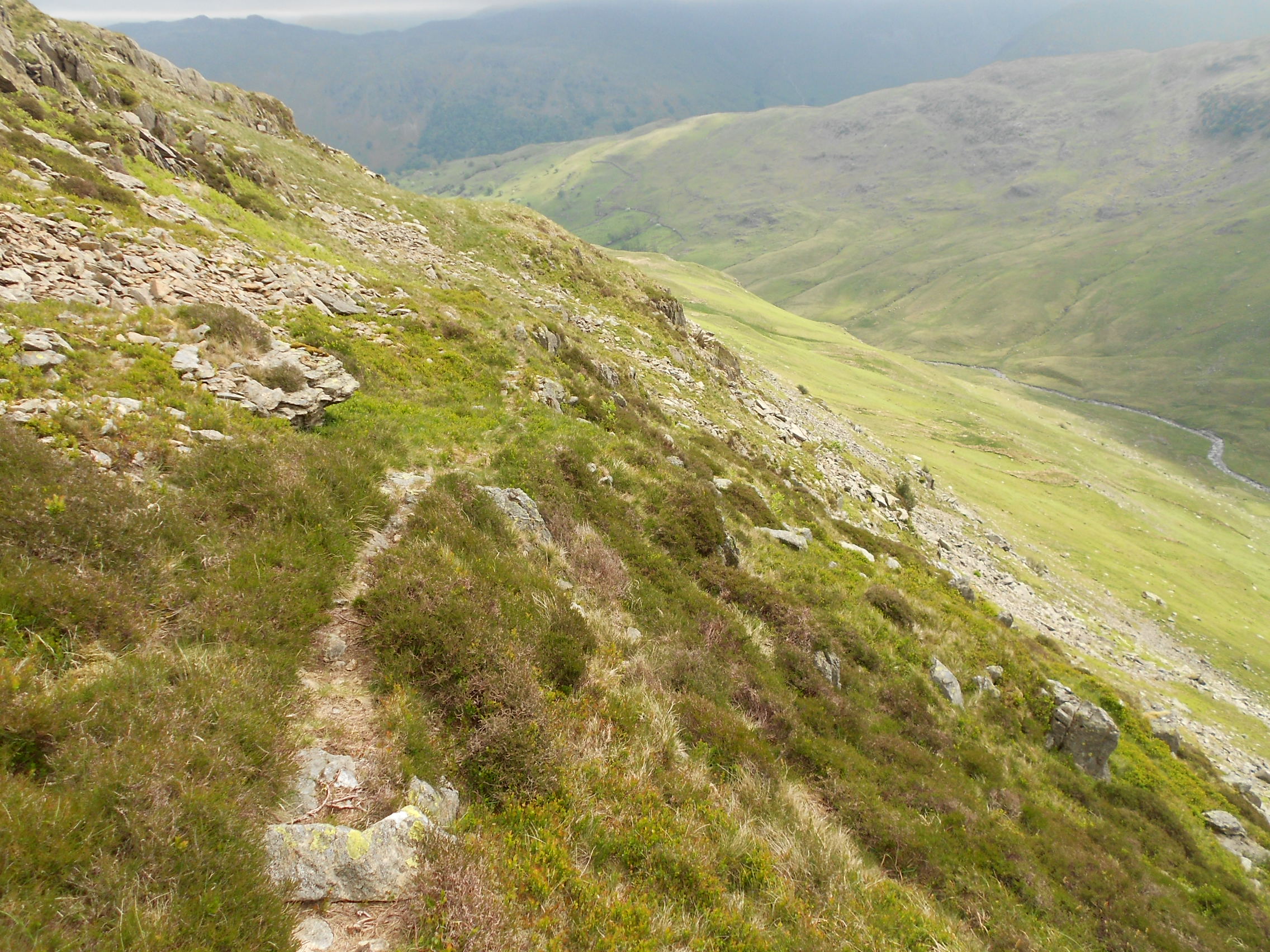
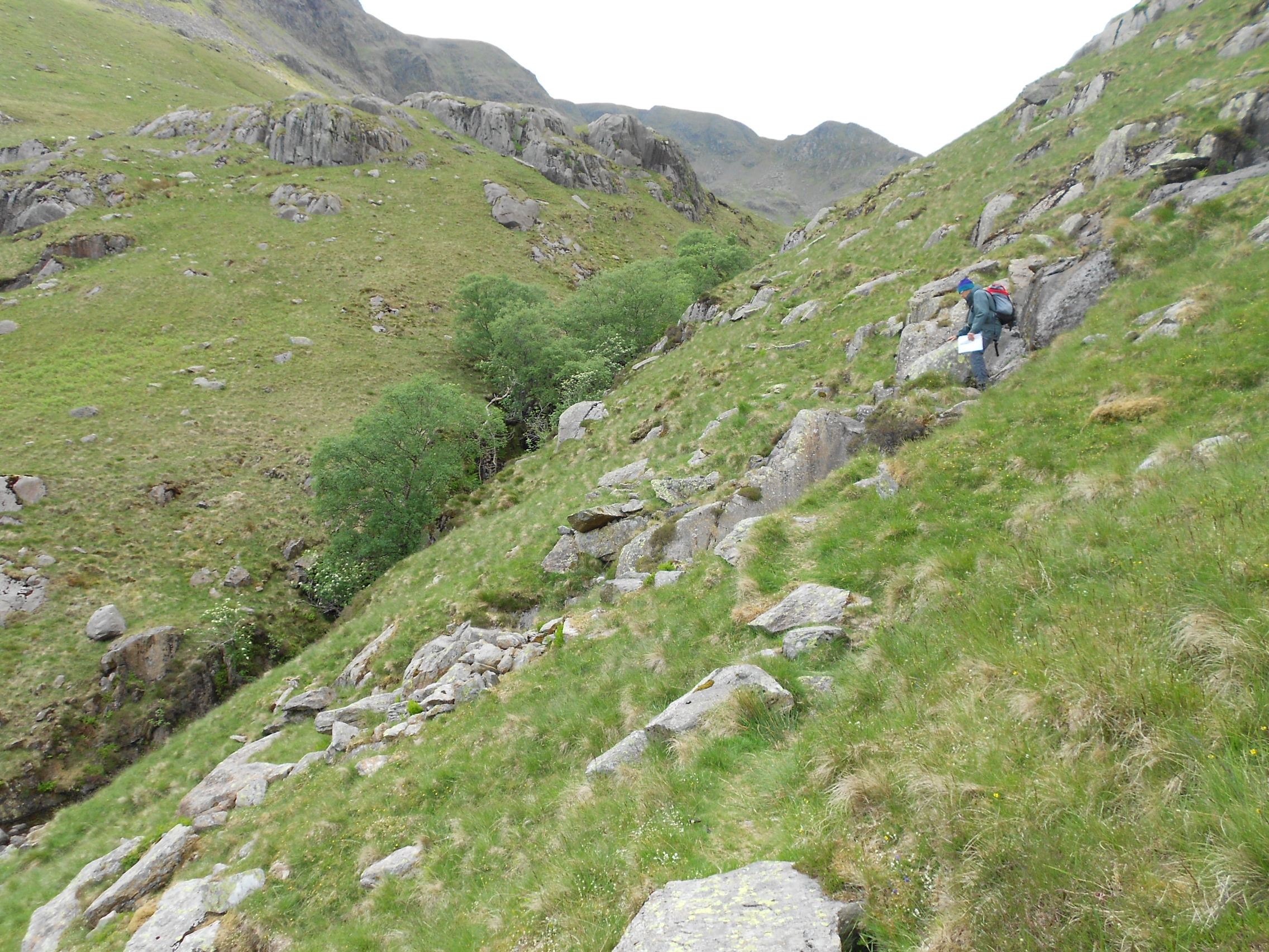
Follow the track SW to cross a small bridge surfaced with large rocks at NY 3915 1356, Wall End. Turn immediately right after the bridge to follow a grassy path west and up through NY 3893 1357 and NY 3880 1359. Here the path winds around but generally goes SW until NY 3856 1332 where it turns west again.
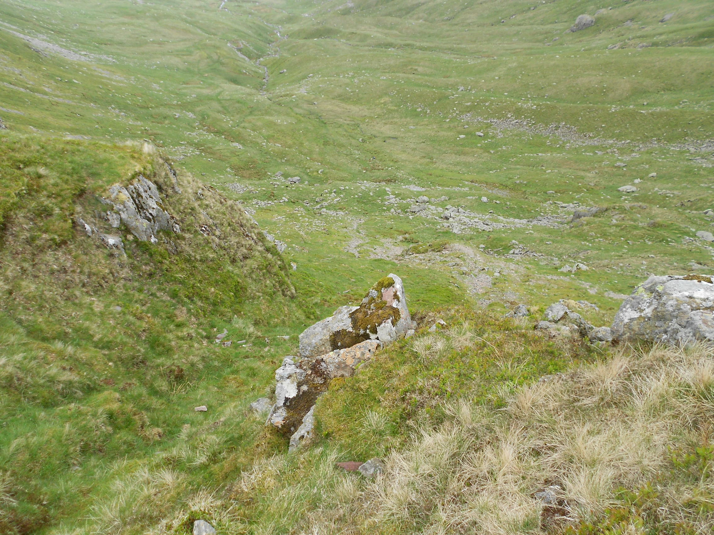
At some point after this we must have missed an unseen path going off to the right to Lord’s Seat but since the path we were on was fairly well defined and was gradually gaining height, we stuck with it via NY 3822 1329 where there are old quarry workings and then to NY 3785 1322. After this we could see that the path we were on seemed to be heading to Deepdale Hause and it was no longer any use to us for gaining height.
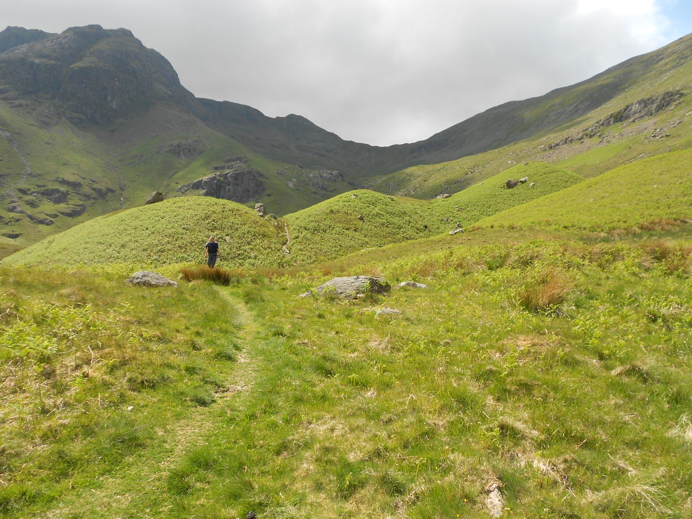
Just beyond this at NY 3779 1326 we spotted a ruined wall going up to the right (NW) and though there was no path evident, we followed it uphill. At NY 3769 1334 one ruined wall became two so we walked between them until a path was found further up. This led us to a left turn where paths cross at NY 3765 1347 which is on a line between Lord’s Seat and Gavel Pike.
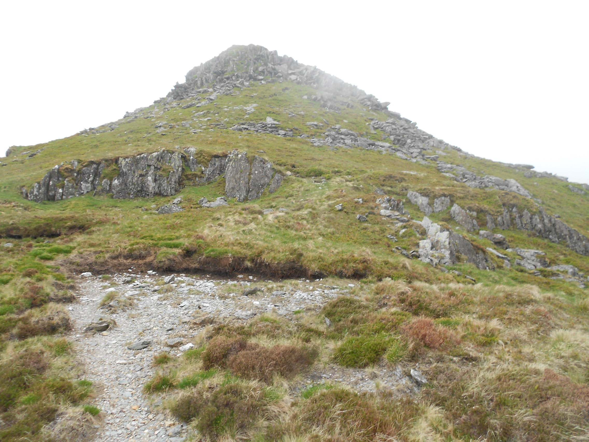
From there we followed a winding path up Gavel Pike via NY 3751 1344 to its summit cairn at NY 3734 1343. From Gavel Pike it’s a flat walk for a while until the final push, which starts at NY 3707 1343 and leads you up to St. Sunday’s summit. The highest point, marked with a cairn, is at NY 3693 1340.
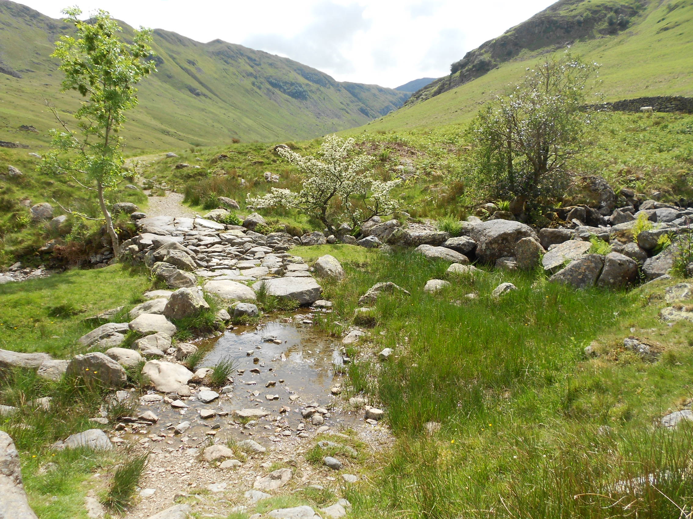
The return was via Deepdale Hause and Deepdale. You can’t really get lost in this valley but in places it’s quite wide, hence the waypoints. NY 3616 1238 was the lunch stop then the path goes via: NY 3662 1249, passing a deep gorge from NY 3706 1255 to NY 3717 1255 and reaching even ground by NY 3773 1262. The way then passes through NY 3831 1279 and NY 3891 1317. Avoid the boggy area by keeping to the higher path on the left. Finally you reach the bridge with the rocky top at NY 3915 1356 passed on the way in. From there it’s a simple reversal of the route back to Bridgend.
Execution:
Shortly after leaving the car at 10:01 we met a man coming the other way, stopping for a conversation about today’s route and walking in general. He was in his eighties but had completed the Pennine Way only 15 years previously, in both directions within the same year.
I have used the PW to get to places many times but only in short bursts. A friend, John Newton, attempted it in the 1980’s but the weather was very hot and he was found face down and delirious in a Peat bog, somewhere near Kinder as I remember. Seems he grossly underestimated it, didn’t get far and ended up with heat stroke.
Despite being obviously little used, the path was quite easy to follow and not too steep. It was also deserted. Yes, we did deviate from the Lakeland Walker magazine route description in missing out the minor top of Lord’s Seat but the wall got us back on track (see route above) and we reached the summit by 12:15 .
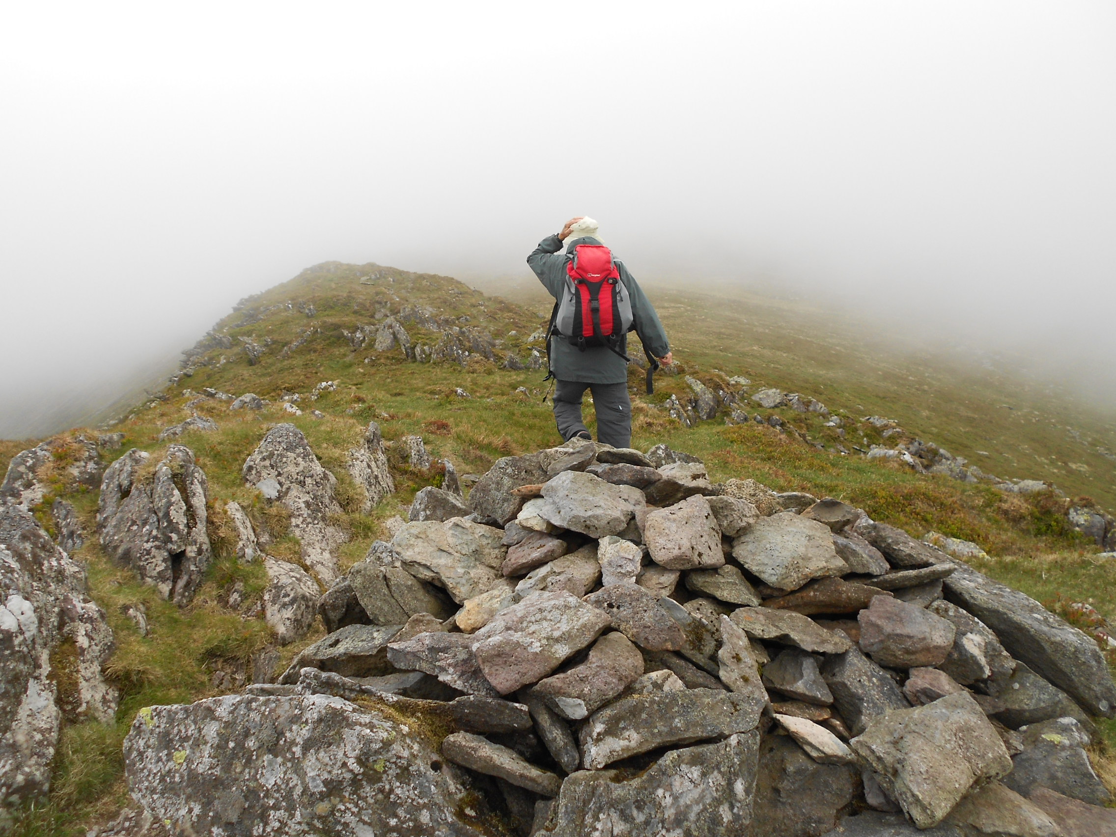
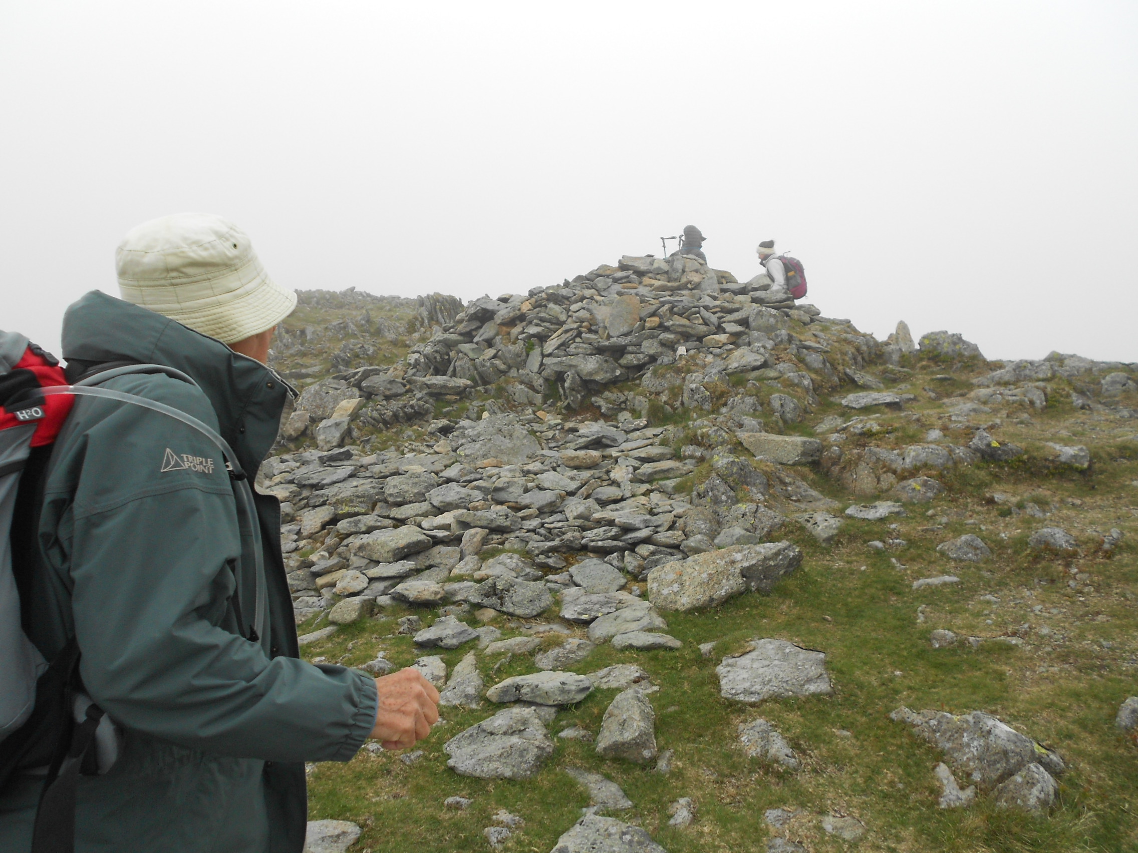
The final half-mile was in low-cloud and this is something that David dislikes intensely as he finds it disorientating. Unsurprisingly we have completely different motivations and aims in the mountains and like most people, David climbs them mainly for the inspirational views. A young couple at the summit remarked sarcastically about the wonderful views.
St. SUNDAY CRAG, G/LD-010, 841m, 8 pts, 12:15 to 12:54. 10 deg C. 20 mph SW Wind. Low-cloud. LOC: IO84MM. WAB: NY31 (No trig)
145.550 FM - 6 QSO’s:
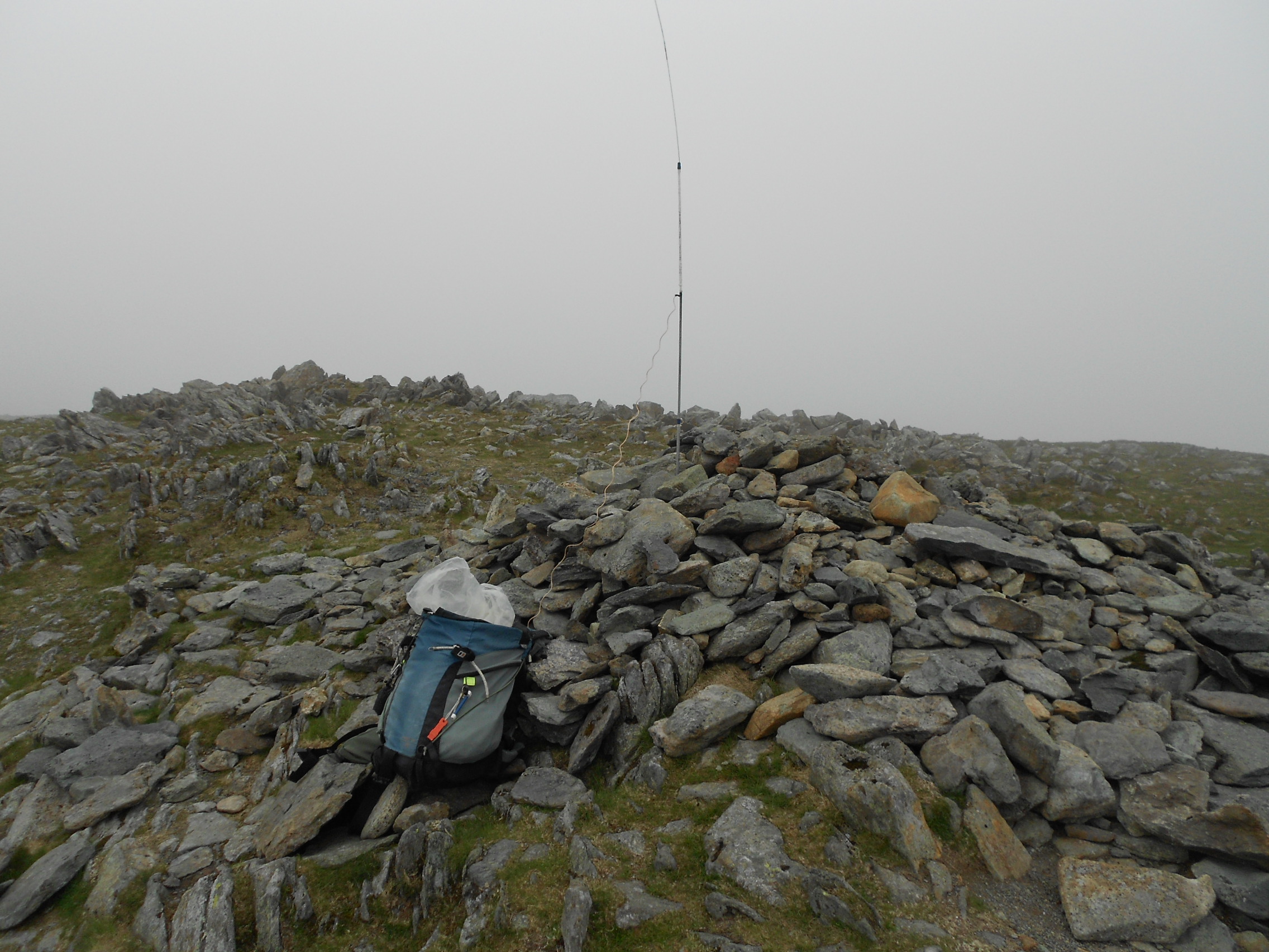
Conditions were not particularly pleasant at the top but we settled beside the cairn for the activation. The wind was blowing the hill fog along the spine of the hill so there was nowhere to hide from it. I hadn’t even assembled the antenna before David, chilling fast, got up to announce that he was going to start the descent. I gave him the two-way radio having set it to 446.031.25 or so I thought. Little did I know I’d left it on the amateur band. David vanished into the murk heading for Deepdale Hause with the idea of finding somewhere sheltered and below the cloud base to eat his lunch.
With the aerial now up and stuck into the summit cairn, John G0TDM responded to my CQ, reporting that the UV-5R, which had been a source of great embarrassment to me on the previous day, was working perfectly apart from ‘the audio sounds a bit low.’ The embarrassment had been down to my forgetfulness. Months before, I’d set a CTCSS tone for the receive squelch (see Grasmoor G/LD-009 report) which meant that all the stations calling me on an apparently dead band, went unheard.
After John and I exchanged 59 both ways, I worked G4WHA/M, though it wasn’t straightforward. Geoff was outside his work QTH in Carlisle and wasn’t receiving me too well. I wrote his 31 report in the log but that was as far as we got. After several tries I remembered about the filter loss. The Sotabeams 2m filter is specified to have a slight loss so I removed it. After that Geoff heard the 55 that I was counting up for him and all was well. ‘Good QSO!’
Next in were Dougie G7CDA followed by Sue G1OHH, both stations located in Lancaster. Reports were 55 and 59 both ways respectively. I mixed up the Dougies but Sue put me straight. I was thinking about G1KLZ who I used to work regularly but who regrettably became SK last year.
Prior to the frequency drying up I worked M7BCE – Dan in Howarth near Bradford at 59/ 57 and G1OAE Tony in Seaton, Cumbria at 52/ 22.
Descent:
My main priority was not the activation but to catch Dave up so there was no recourse to S20 on this occasion. Rather I packed up as quickly as possible and got on my way into the wind and down the mountain. After a few calls on the PMR I began to worry that my companion had somehow got lost in the mist, knowing all the time that it was extremely unlikely.
It took me 15 minutes to get down to Deepdale Hause and before that, drop out of the cloud. From there I could see a person moving way down in Deepdale but without my monocular, I was unsure. I tried the radio again but he didn’t respond. No body language that he’d heard it either. I tried S20 giving a brief instruction of which button to press for PMR. Bingo! I could see he’d stopped and presently we were in communication.
David sat down to have his lunch while I made a bee-line for him. It was steep in places but I didn’t have a marked waypoint for the start of the path from Deepdale Hause. In a short time we were reunited and with several large rocks to sit on we took a break for a few minutes.
The walk down, was long and uneventful but the Rowan tree-lined gorge with waterfalls looked very attractive when highlighted in sunshine. It seemed a long way and I was glad to reach Bridgend and David’s car at 15:04 .
Today, the post-walk tea and cakes were supplied by Café West on Station Road, Keswick. We relaxed on a very large leather settee while enjoying them. I bought an extra item to take up Blencathra later that evening.
Comments:
This was another good route which took us where we’d never been before. Compared with the beaten track up LD10 from Patterdale, I particularly enjoyed this quiet alternative. The return down Deepdale took longer than I anticipated, mainly because the initial walk to Deepdale Hause which takes you even further away from the start. I do think we did it the right way around though.
When I walk the Helvellyn-Seat Sandal-Fairfield-St. Sunday round, LD10 almost always has the fewest VHF QSO’s. Without spotting, I was not surprised to get only 6 contacts in the time available but was not expecting a call from the Bradford area, though Howarth does have a bit of altitude.
QSO’s:
6 on 2m-FM
Walk data:
10:01: Left Bridgend
12:15 to 12:54: St. Sunday Crag summit
15:04: Arr. Bridgend
Ascent 688m (2,257ft) / Distance 10.4km (6.5miles)
2hrs-14min up, 2hr-10min down
Summit time: 39min
Thanks to all stations worked and to David for another good route.
73, John
G4YSS
…………
Photos: 1-4-8-15-18-19-21-29-32-35-40-41-43-44-47-54-60-65-72-77
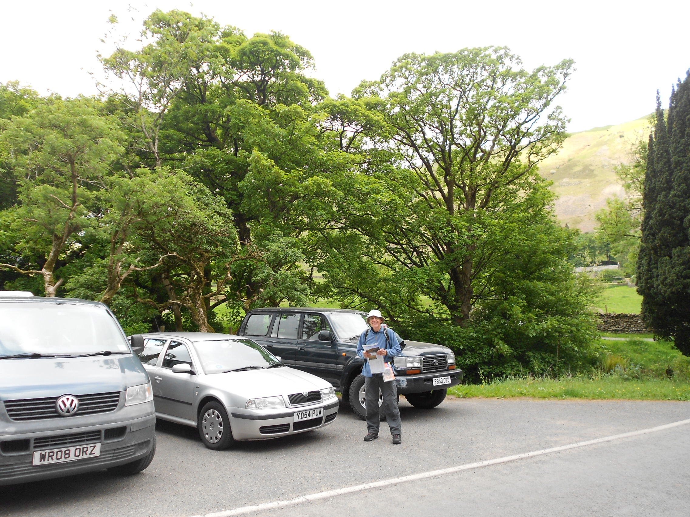
Above: A592 start point at pull-off near telephone box at Bridgend
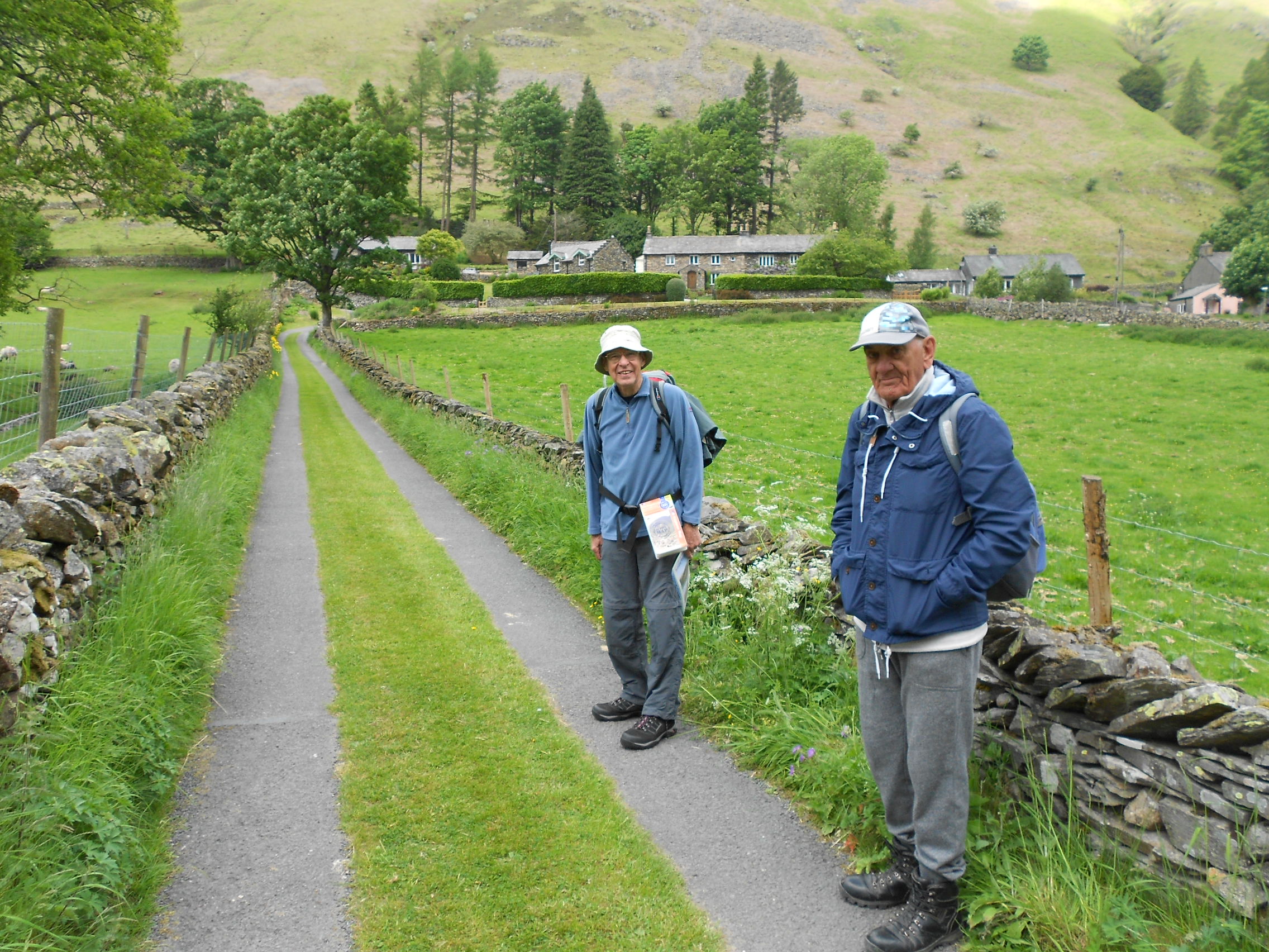
Above: The Pennine Way double completist on the lane across from A592 Deepdale Bridge
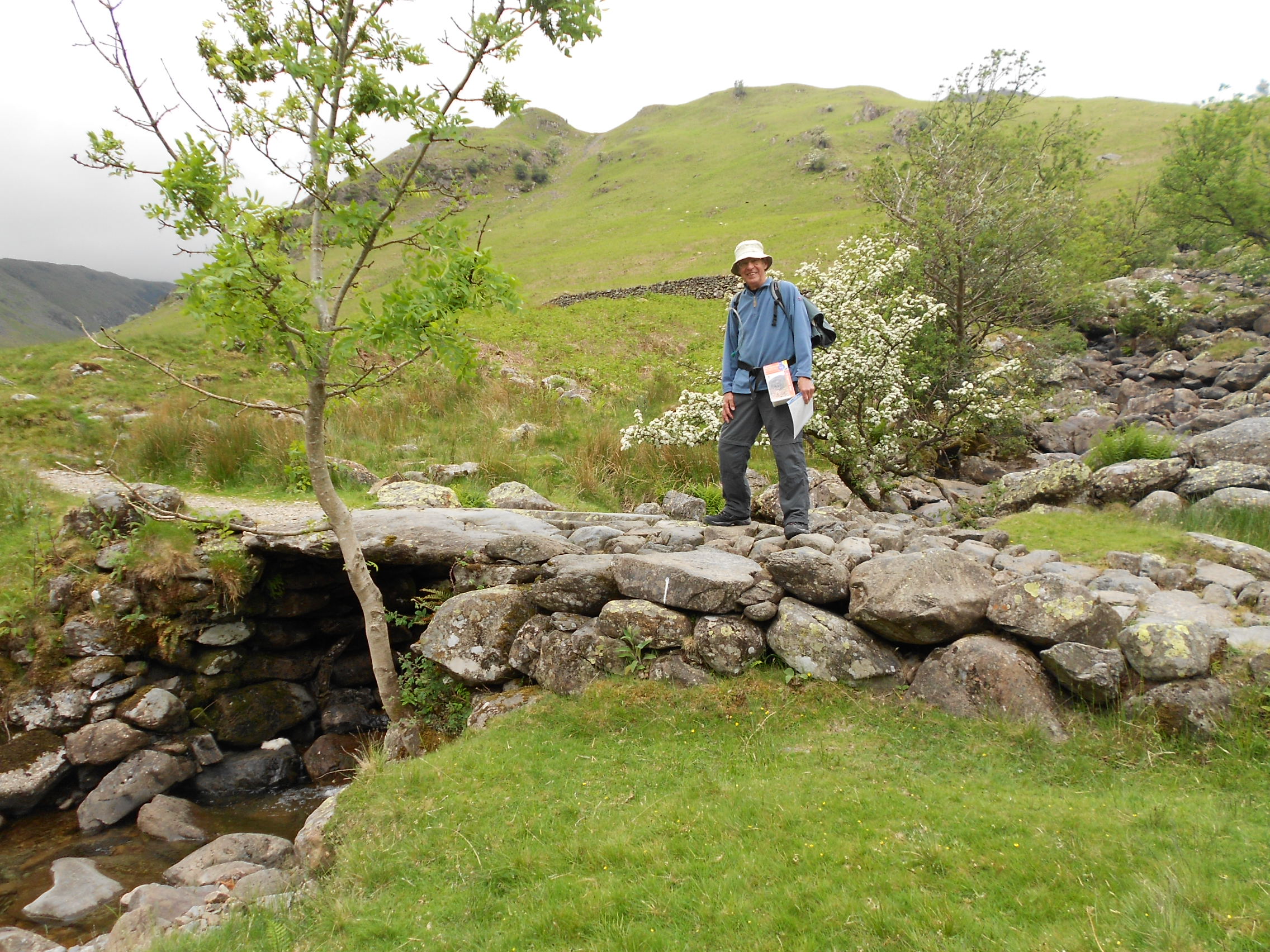
Above: Cross the rock bridge at Wall End then turn right.
Above: Passing old mine workings under Lord’s Seat (Not the SOTA)
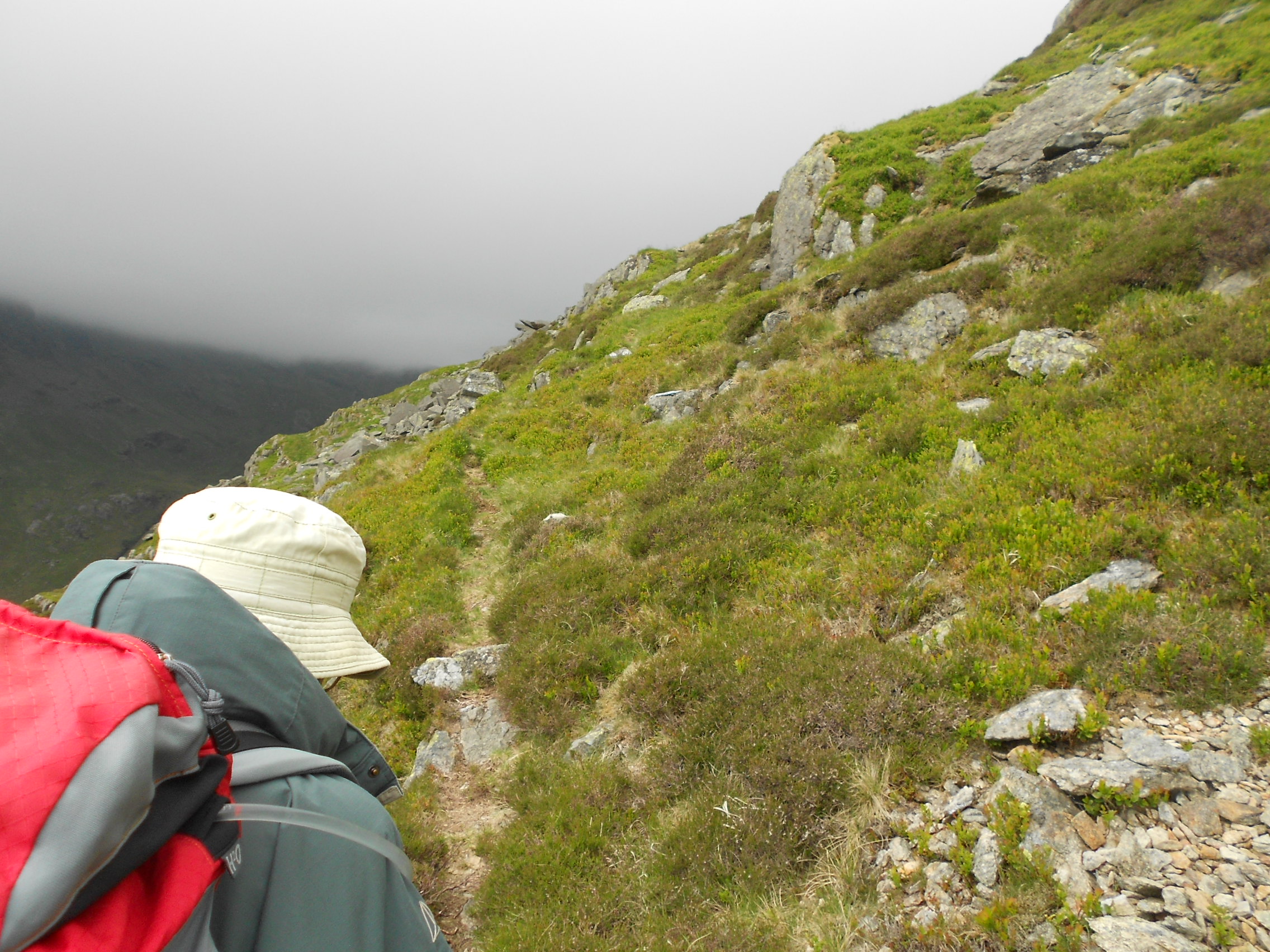
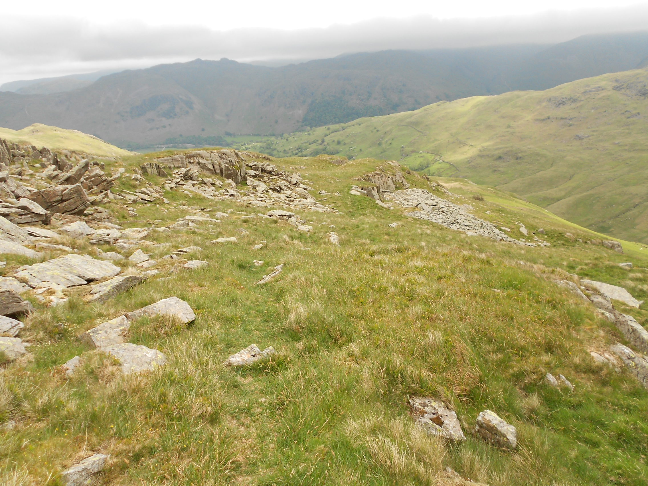
Above: Path on the southern flank of Lord’s Seat
Above: Path past Lord’s Seat, looking back
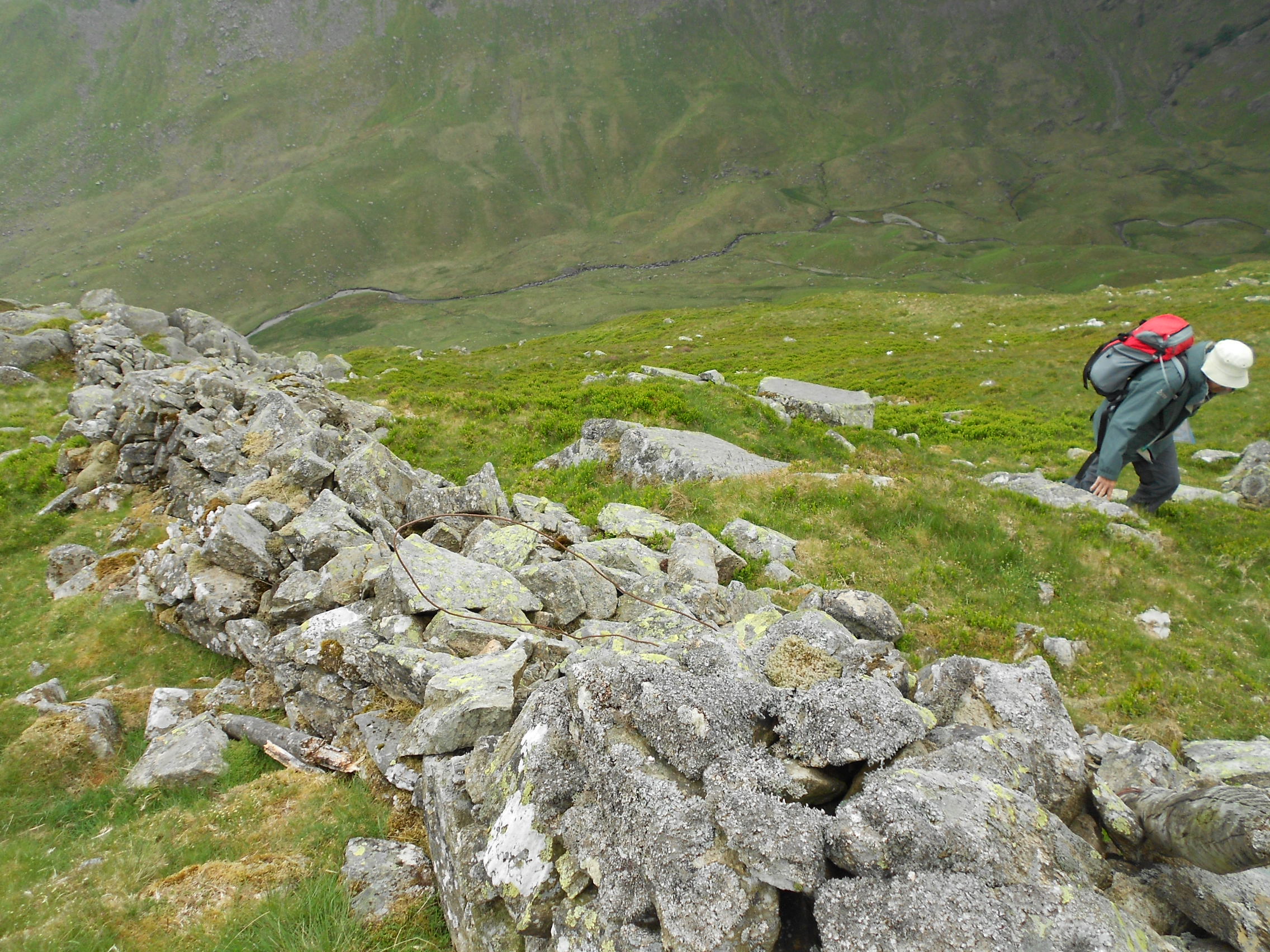
Above: Following the old wall up to the col between Lord’s Seat & Gavel Pike
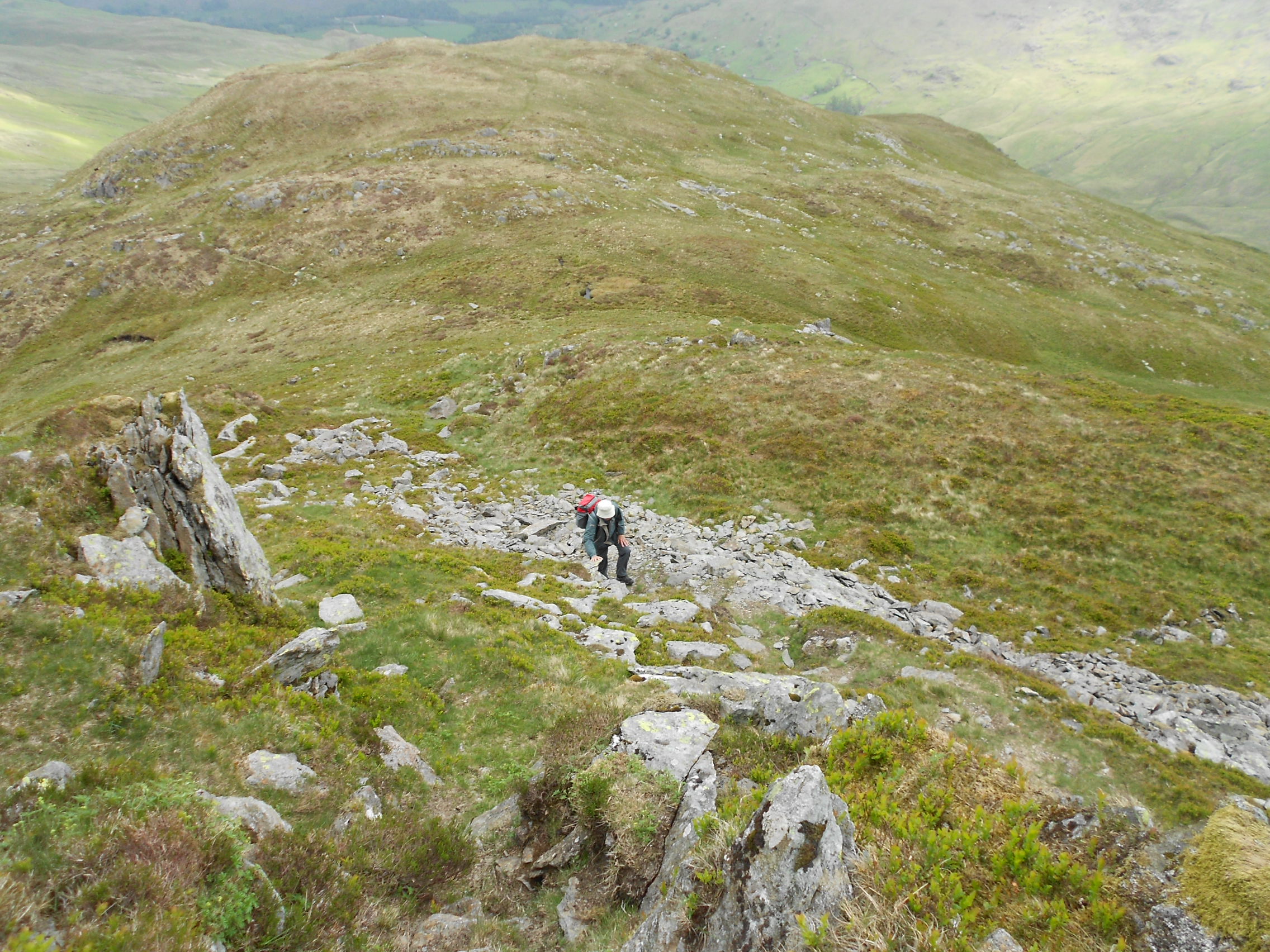
Above: Climbing Gavel Pike from the col. Lord’s Seat behind
Above: Gavel Pike ahead
Above: Gavel Pike. Hold on to your hat!
Above: David at the summit of St. Sunday Crag
Above: Activation of G/LD-010 St. Sunday Crag on 2m-FM
Above: Searching Deepdale from Deepdale Hause
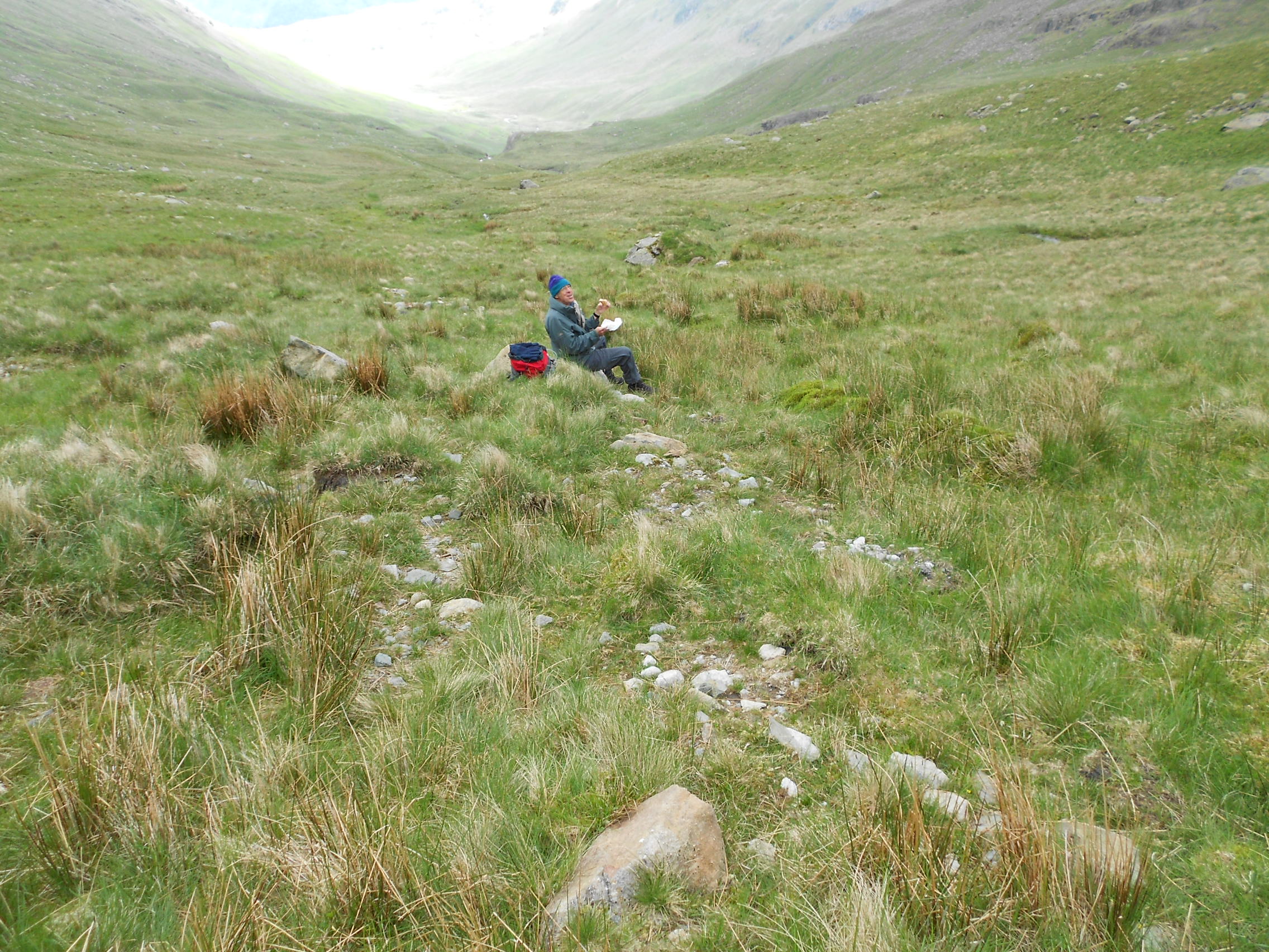
Above: David in Deepdale. Lunch time
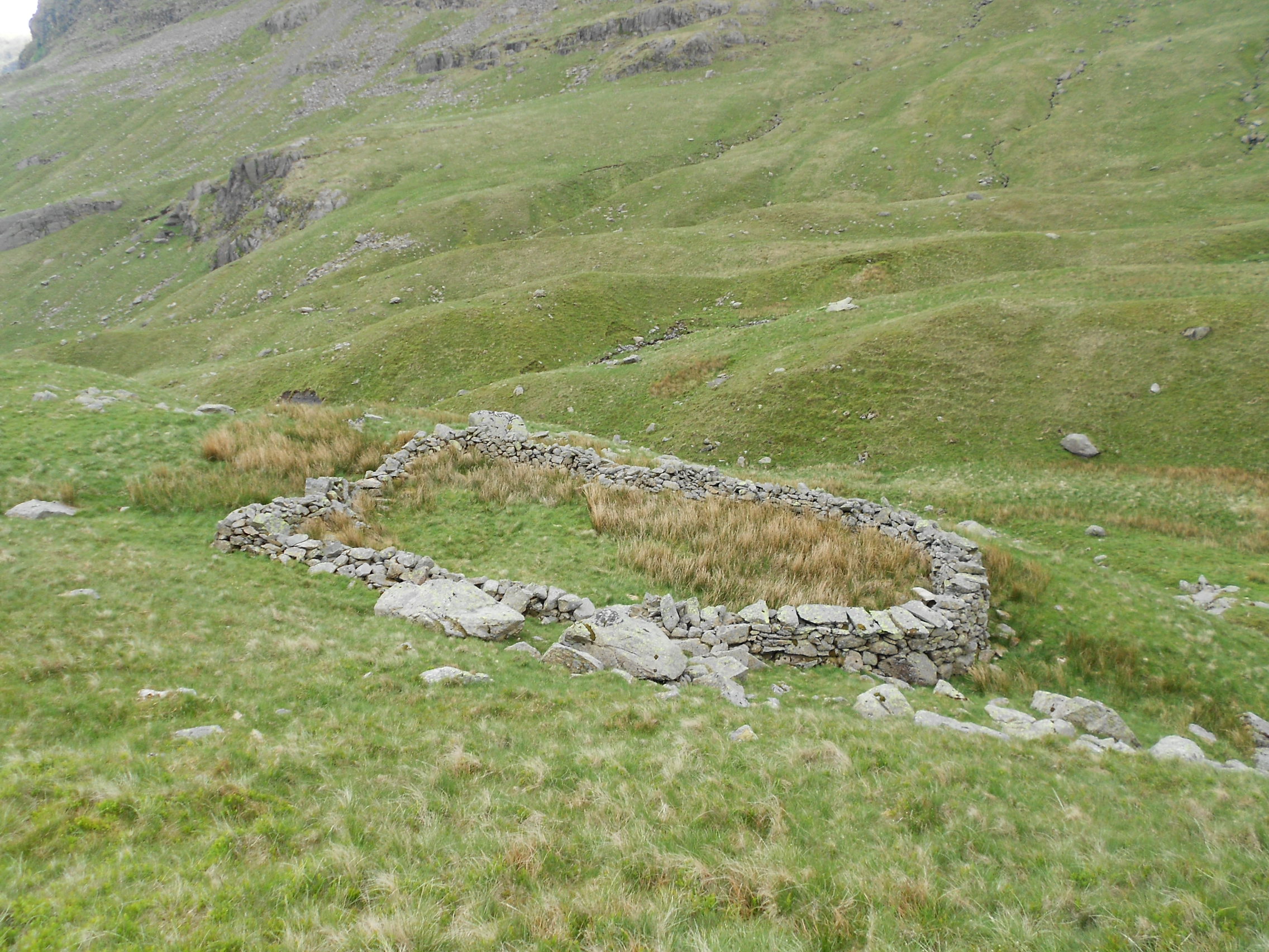
Above: Walking down Deepdale. Sheep enclosure marked on the 25k map
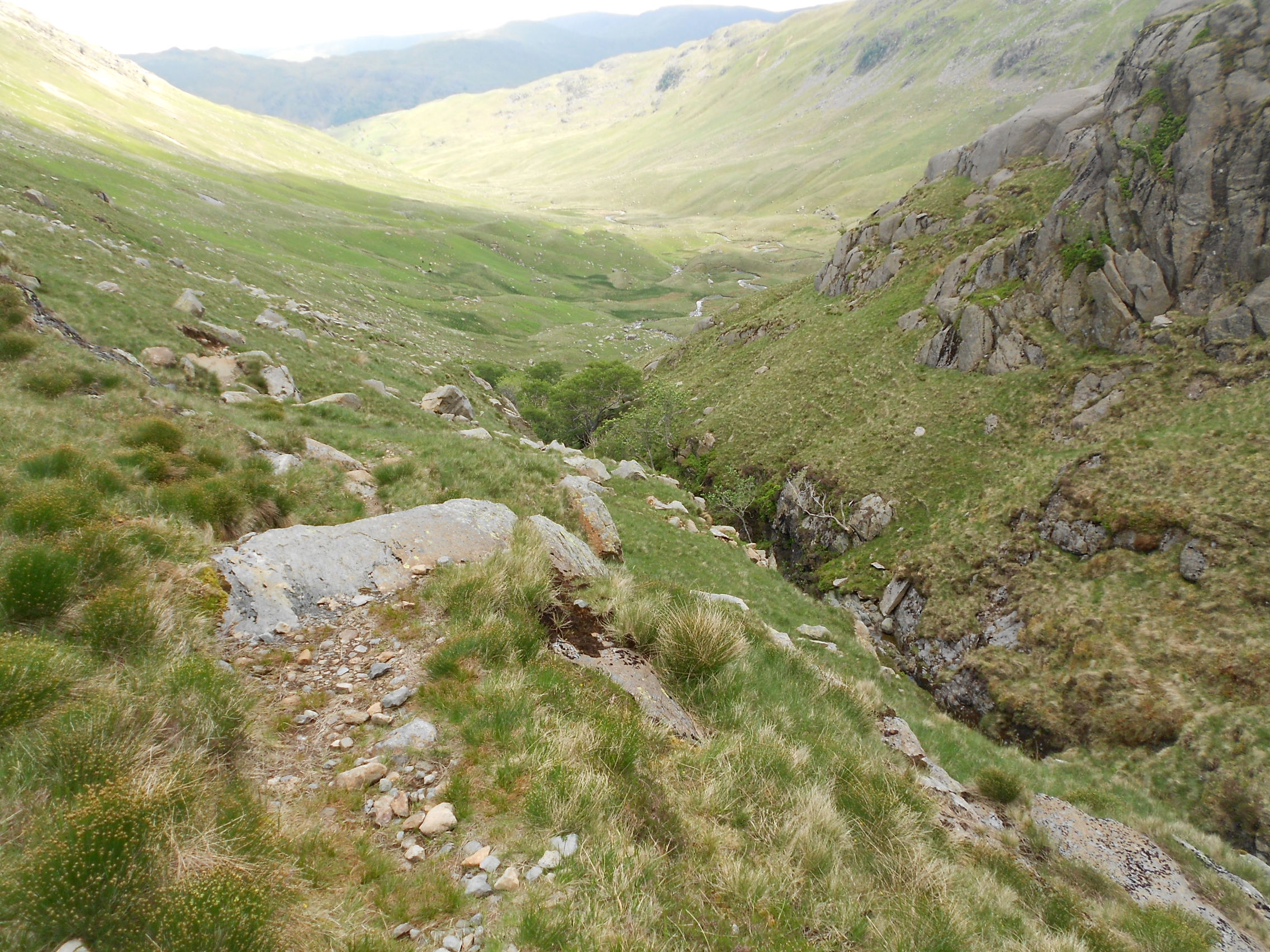
Above: The gorge in Deepdale
Above: The gorge, looking back
Above: Looking back towards Deepdale Hause
Above: Back at the rock bridge
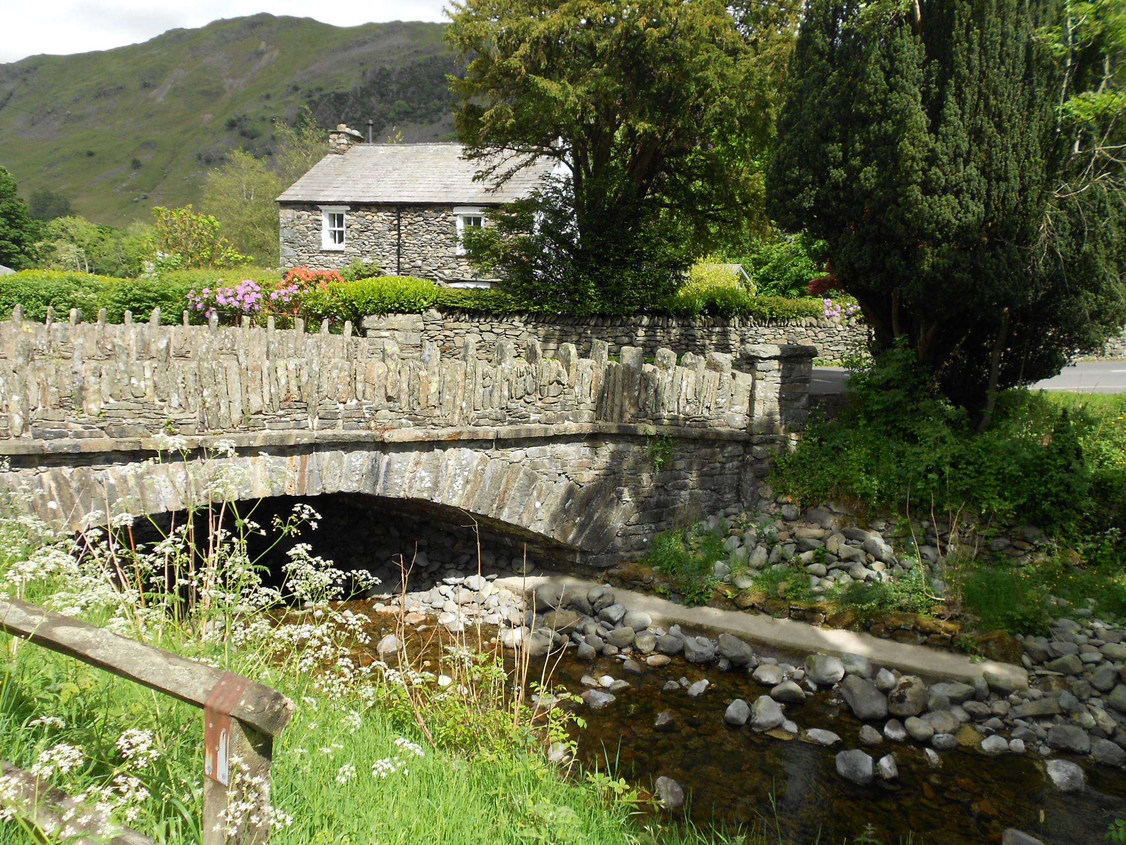
Above: Deepdale Bridge and the A592