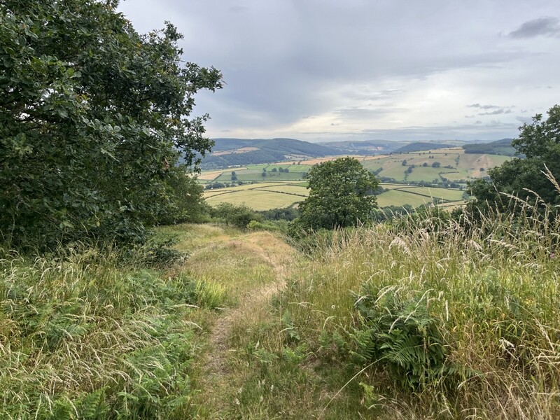
Flaming June in Wales

Earlier in the year we booked a week in holiday cottage in Brithdir near Dolgellau, with the main aim of activating 5 uniques to us in the area and repeating some other hills. We then added a long weekend in a cottage near Clun so we would attend the GW S2S party and meet up. We hadn’t bargained for the heatwave that hit us, which somewhat limited what we could do.

19 June 2026: Friday: GW/MW-027 Moel y Golfa
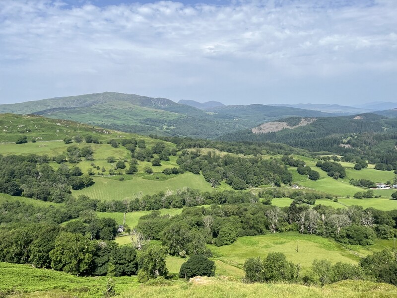
We wanted to do a hill on the way to the cottage at Brithdir, but a band of rain was forecast to be crossing the country from the west. We a summit close to our route, which we could hope to do before the rain got to it. We chose not to do The Wrekin, near Telford as we had done it relatively recently and it has high interference levels. The choice was Moel y Golfa before Welshpool or Y Golfa after Welshpool, both of which we had previously activated. To try to avoid the rain we went for the earlier summit, but as we pulled into the parking in Middleton before 15:00 it started raining – it wasn’t forecast there until around 17:00! We chose to approach from Middleton to avoid the scramble encountered on our previous activation.

We sat in the car for a bit pondering what to do, and the rain stopped, so we set off along the footpath running parallel to the A458, with a slightly awkward crossing of the busy road to get to the footpath track the other side. It started raining again as we worked out where the footpath left the concrete track. So a quick dive into the shelter of a little quarry and on with waterproofs and rucksack covers. We crossed a grassy field, and by the time we were in the woods the rain stopped meaning we got rather hot on the steep climb through the woods.

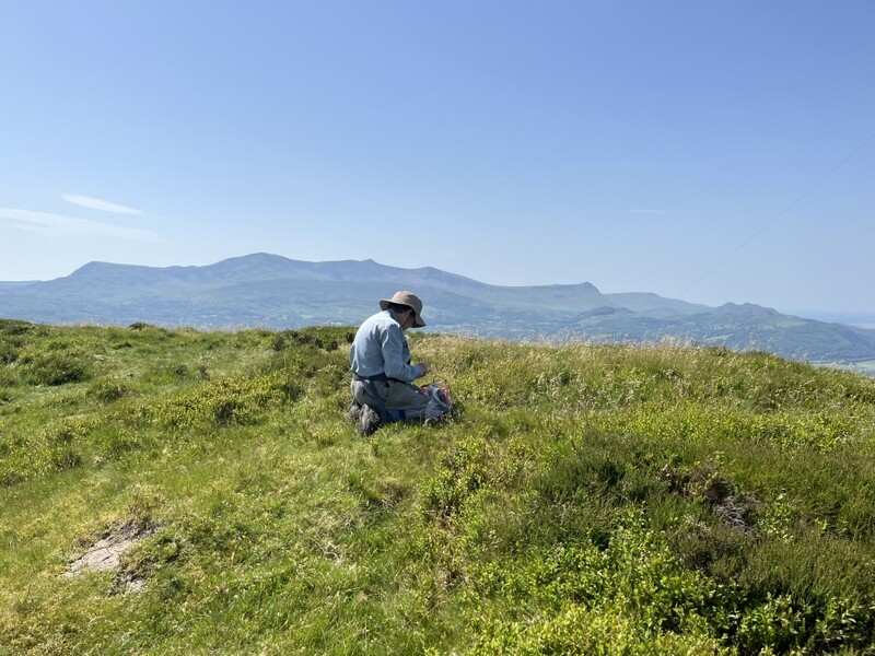
It was dry when we got to the summit with the gypsy monument. However we could see rain approaching. It isn’t an HF friendly summit so we decided to try VHF only activation. It was quite slow going but we managed to get 6 2m contacts each plus 3 70cms for Caroline.
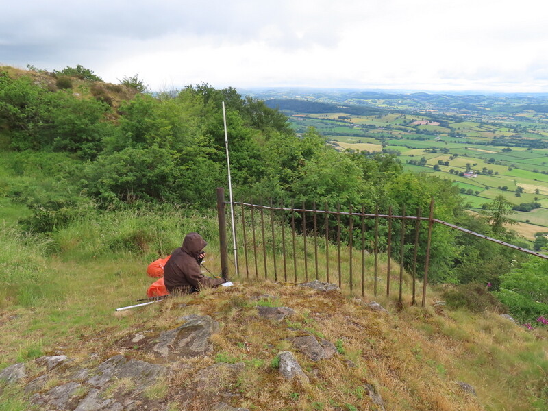
We had a couple of light showers while operating but packed up in the dry and it stayed dry as we retraced our steps back to the car. It did rain some more on our onward journey.

20 June 2026: Saturday: Rhinog Fach GW/NW-078 and GW/NW-017 Y Llethr

One of the main targets of this holiday was to do Rhinog Fach GW/NW-078. Almost 2 years ago we had attempted to do it from the northeast, but had failed, deeming the Cambrian Way path too steep and difficult, and finding the alternative down Bwlch Brws-Ardudwy involved too much rocky scrambling. The weather forecast was for a hot day – mid-high 20s, but the rest of the week was forecast hotter, so we concluded this was the only day for a tough hill, taking plenty of water with us.

This time we approached from the west, using parking that we had used some years ago when doing Y Llethr and Moelfre. There is a small pull off the minor track road at SH632259, and we pulled in there ensuring we were still leaving room for it to be used as a passing place. We were just about to set off when a campervan appeared looking to also use the parking space. It looked too big to fit, but he persuaded us that we could move our car more onto the grass (tricker with boots already on), which we did and he fitted in. He asked about routes as he wanted to do both Rhinog Fach and Rhinog Fawr – we didn’t know about Rhinog Fawr as we had done that one from the east.

We set off following the track and public footpath on the south side of Cwn Nantcol, which rises slowly, with some damp sections. The public footpath ends at a disused tip and quarry, but the track continues, becoming more indistinct as it meanders around rocky bits. We missed the path leaving the track we had intended to take, but found more faint paths – not always where shown on the OS maps as there are quite a lot of areas fenced off due to the mining remains, including one with an entrance into the hill.
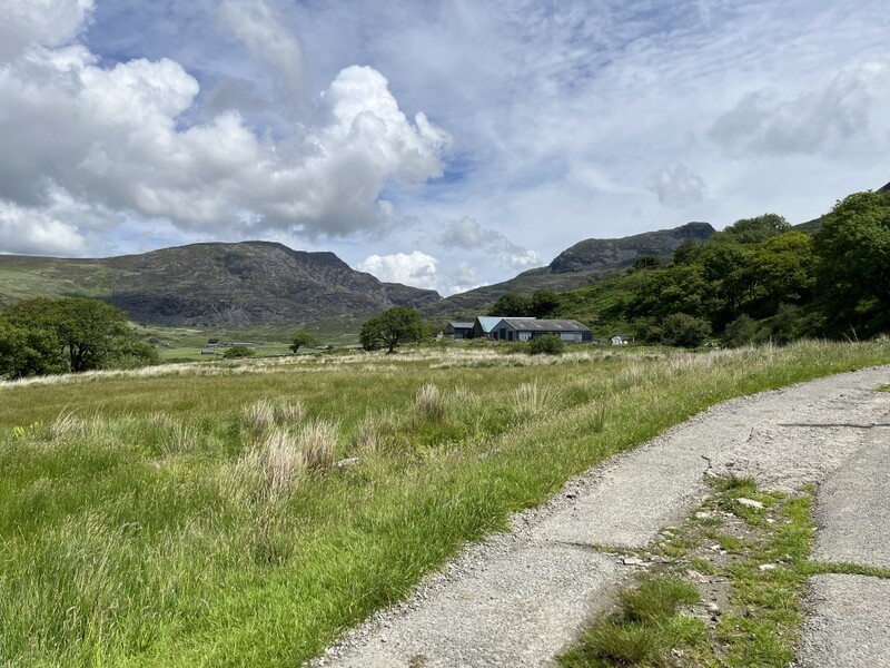

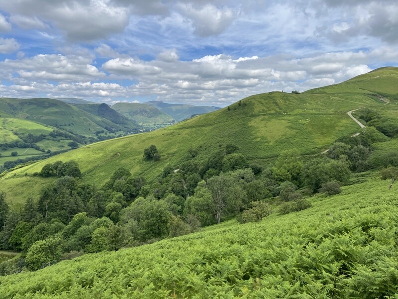
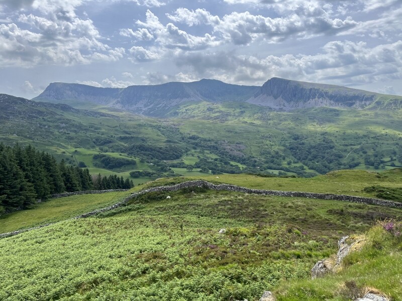
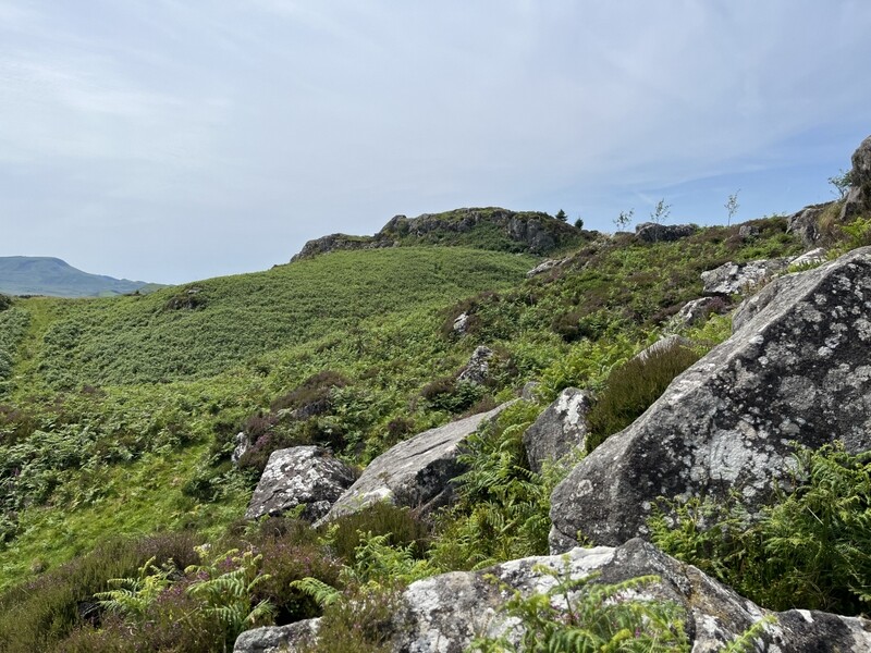
Cwn Nantcol with Rhinog Fawr, Rhinog Fach and slope of Y Llethr to right
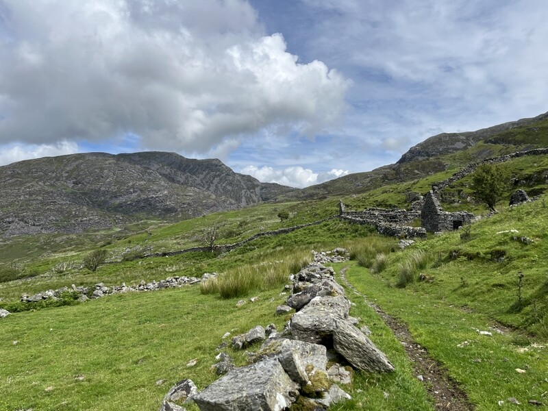
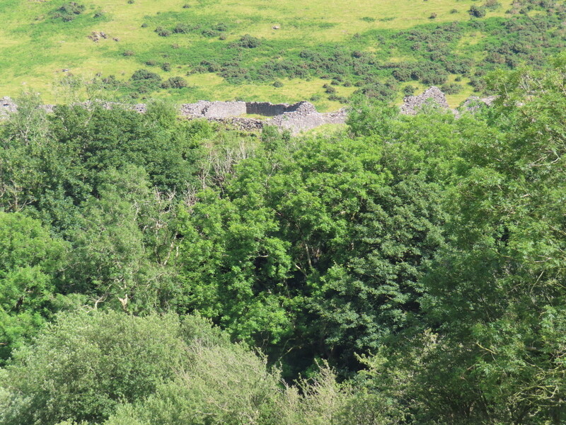
Ruined building ascending Cwn Nantcol with Rhinog Fawr and Rhinog Fach

As we found our way through vegetation and rocks, we were overtaken by the man from the campervan who had made himself a coffee before setting off. He was soon ahead and out of sight as we turned north round higher ground to come round to a better path running back south towards Llyn Hywel. We followed that path for about 100m before finding a fainter path going left to ascend Rhinog Fach northeast. The path was steep, with some quite loose sections and we were glad when the gradient eased and we turned back south to ascend the summit.

It had taken us about 2 hours 40 minutes to get to the top which has a cairn and a wall that reaches nearly to the cairn. There were fine views with blue skies and a few clouds – Rhinog Fawr to the north and Y Llethr and Moelfre south and the Lleyn peninsular west. At the summit we met the campervan man again and we had a chat with him – he had come up the southern approach and didn’t recommend it as a descent route, but asked us more about routes into Cwm Nantcol from Rhinog Fawr, but we couldn’t help there. Various other people were at the summit or passed while we were operating including a couple of children.

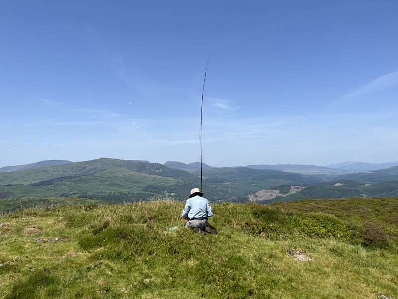
Caroline set up VHF/UHF on the end of the wall while Martyn found space a little lower to set up HF. It took Caroline 20 minutes to qualify the hill on 2m FM, ending up with 8 2m contacts and 6 70cms FM contacts, including 2 2m FM S2Ses which Martyn also grabbed. He had found 60m poor with just 2 contacts, but had a better run of 13 contacts on 40m.
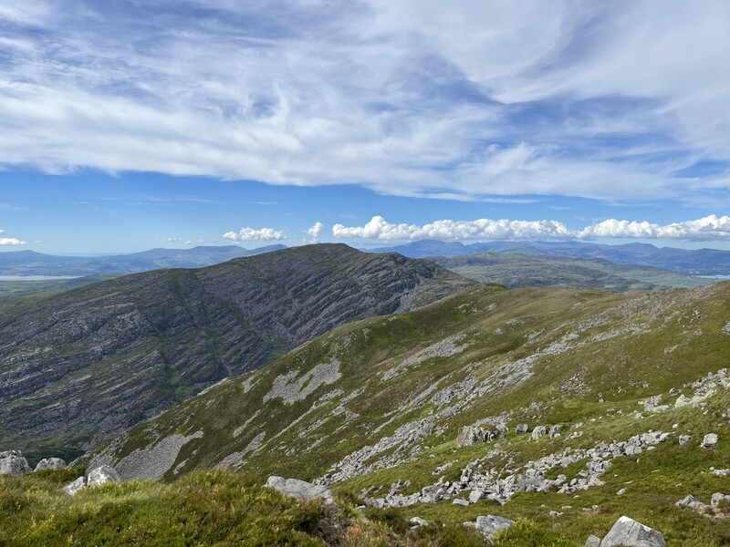

Rhinog Fach towards Rhinog Fawr
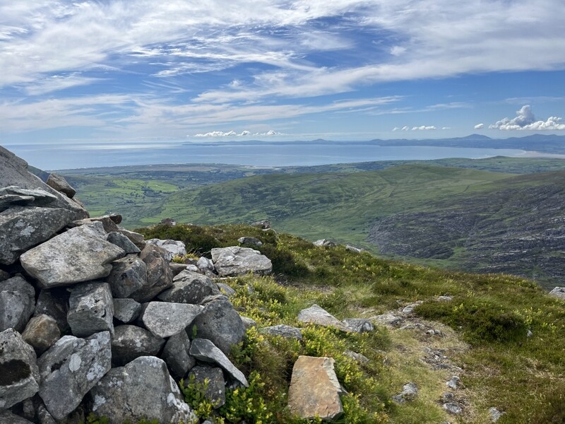

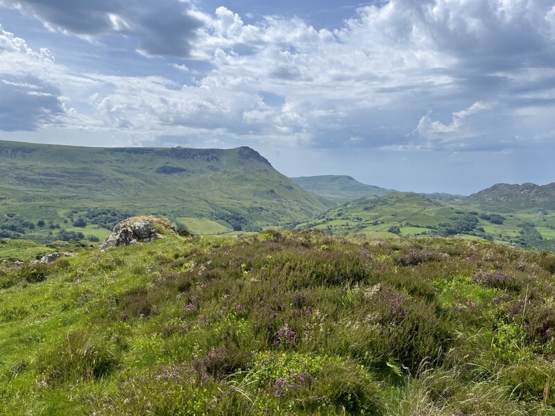
Rhinog Fach towards Lleyn
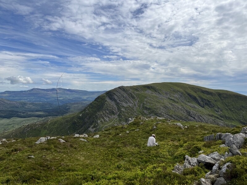

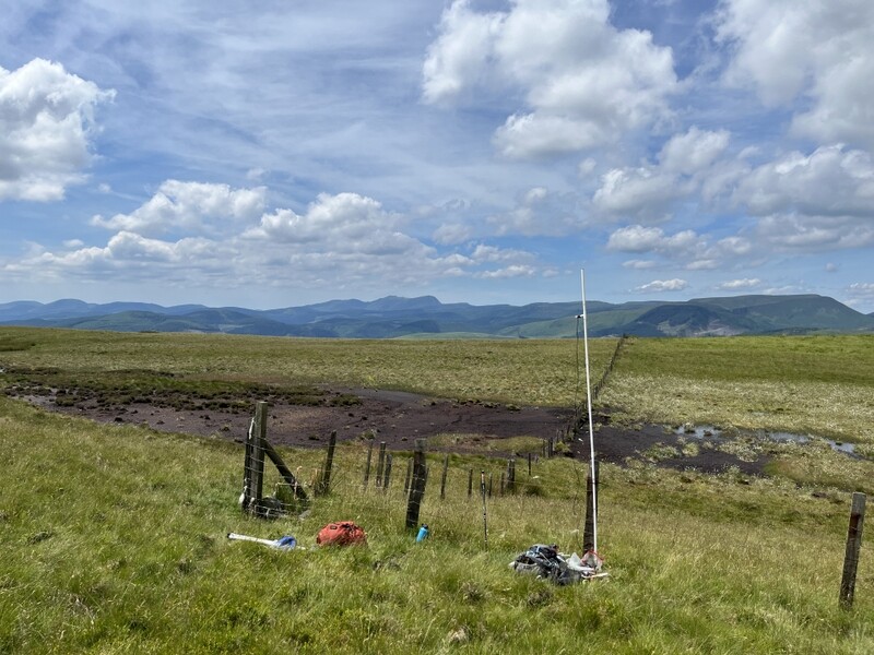
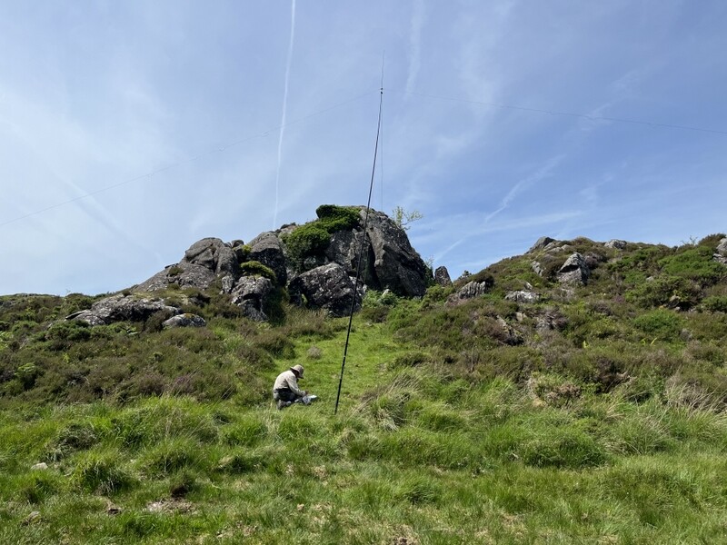
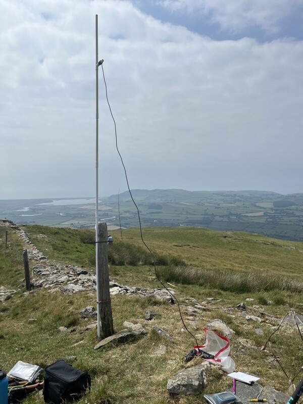
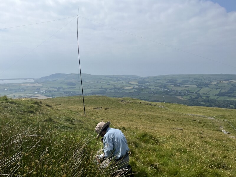
Rhinog Fach towards Y Llethr with HF station
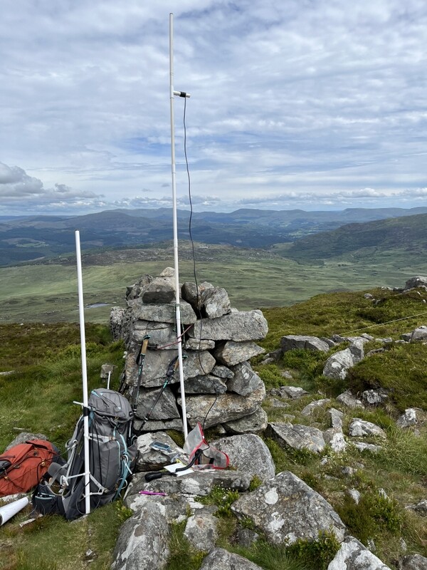

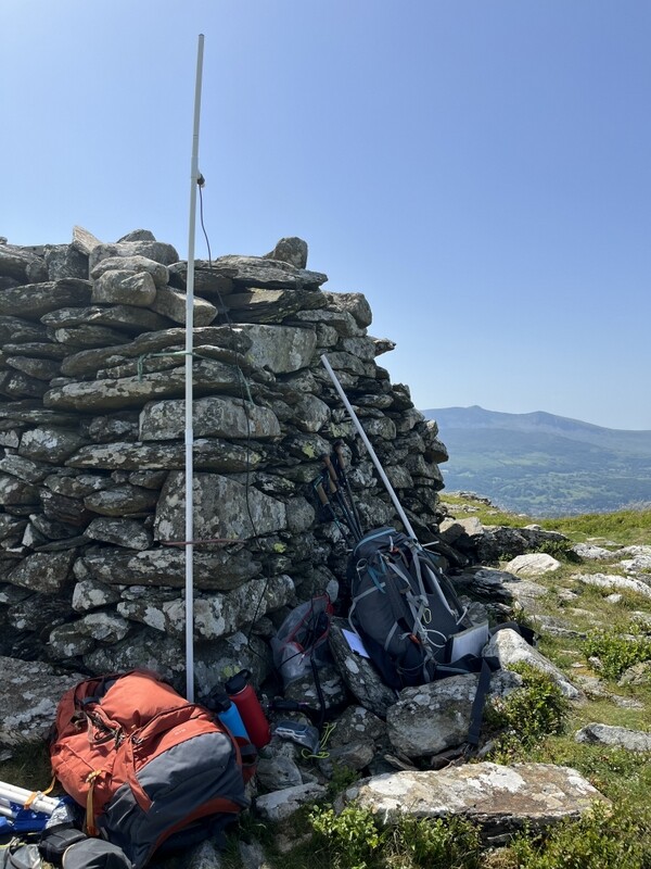
Rhinog Fach VHF/UHF station
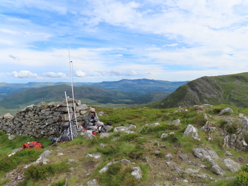

Rhinog Fach VHF/UHF station and Y Llethr

With lunch eaten it was time to descend. We had three possible routes – retrace steps, but we didn’t fancy the steep descent on loose stuff, drop down east and then south towards Llyn Hywel, where we could either go round the lake to find the path back through the mines to Cwm Nantcol, or go on up to Y Llethr from where we knew there was a good ridge path back. We decided to descend south – this was steeper than our ascent, and did require quite a bit of hand on rock and we were glad to make it down to the flatter ground of the col.

Despite being quite late we decided to do GW/NW-017 Y Llethr in the hope of a possible quick VHF activation. The ascent from just above the lake was a slog – nothing difficult just a moderately steep meandering slog. It was nice reaching the rounded grassy top which a pleasant breeze.


Looking back at Rhinog Fach after descent
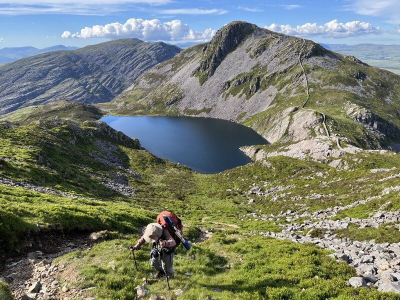

Rhinog Fawr and Rhinog Fach from ascent Y Llethr
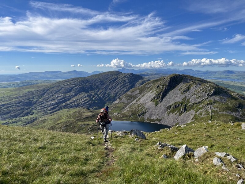

Rhinog Fawr and Rhinog Fach from ascent Y Llethr

The traverse between summits had taken about an hour and a half. We made our way to the little cairn that marks the summit, plonked the rucksack on the ground, added an extension pole to the rucksack antenna and put out calls on 2m FM. It took us about 20 minutes to get 4 2m FM contacts each. We carried on calling while we ate apples, but there were no more callers. It would have been an ideal summit for HF but we just didn’t have the time.
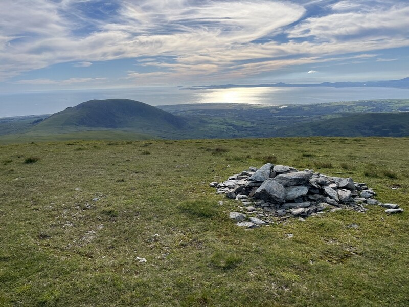

Y Llethr towards Lleyn
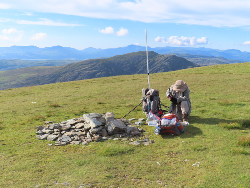

Y Llethr station

45 minutes after arriving we were on our way down, following the wall and turning right to follow the ridge wall – a bit boggy in places but generally good. Where the boundary turned left, there wasn’t a good path going straight on, so we had a bit of rough ground to cover. We were heading for the bridleway crossing the ridge between Moelfre and Y Llethr, which was surprisingly visible as we could see little groups of people walking along it at intervals – unusual as we hadn’t seen anyone else since leaving Llyn Hywel. As we approached, we saw little red flags on posts by the bridleway, and it became clear that it was part of some endurance event as the walkers had numbers attached, and further down we passed stewards with walkie-talkies. Most of the walkers weren’t going much faster than us and we weren’t fast! The walkers continued past where we were parked. It took us under an hour and a half to get back to the car, but was quarter to nine before we left the parking, and another hour’s drive back to the cottage – a long, exhausting but productive day.
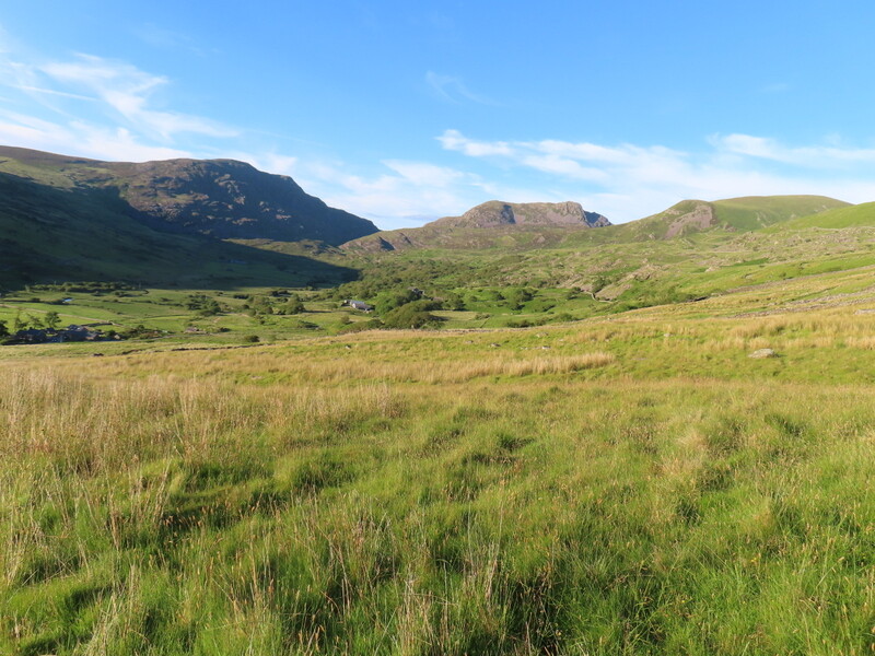

Final view of Rhinog Fawr, Rhinog Fach and Y Llethr from descent into Cwm Nantcol

To be continued…
13 Likes

I’ve now added the track for Rhinog Fach and Y Llethr to sotamaps.
21 June 2026: Sunday: Esgair Ddu GW/MW-020 and GW/NW-052 Craig Goch - Mynydd Cwmcelli

We were late getting up after the previous day’s late night, but still wanted to try to get two little summits in. It was due to be warmer than yesterday, but even hotter later in the week. Our first target was Esgair Ddu GW/MW-020 which most SOTA activators seem to approach from the west, where there appears to be limited parking on a single track road, but we decided to try an approach from the west where there looked to be a larger layby, and was more convenient for driving to our second target of GW/NW-052 Craig Goch - Mynydd Cwmcelli. We pulled into what appears to be a layby between a house and a double garage on the A470 at Blaenplwyf Uchaf. It was hot as we got out of the car, but with a bit of breeze to take the edge off. We plastered on sunscreen and headed off.

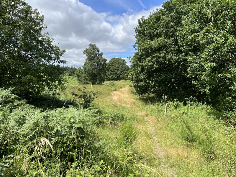
The bridleway shown going off immediately opposite the parking is blocked by a wall, but there is a track round the building from near a postbox, which leads to a gate allowing us to resume the line of the bridleway. Past sheep and an open gateway to a pleasant track through trees. The bridleway should go off to the right, but there was no sign of any opening in the fence/trees, so we carried on along the pleasant track along with some sheep. At a track fork we kept left through the trees, ignoring a ford to the right. The track reached a more open area before turning right through more trees and started slowly ascending. Where the main track doubled back we carried straight on on a path climbing through bracken. On reaching a path junction we turned sharp left, now back on a public footpath which we followed as it climbed. It joined a bridleway track coming from the south which we followed to a gate in the access area. The track became less distinct in the access area, eventually fizzling out roughly where shown on the 1:25000 map, just below the edge of the activation area. From there it was just a matter of proceeding gently upwards over rough ground towards the summit.


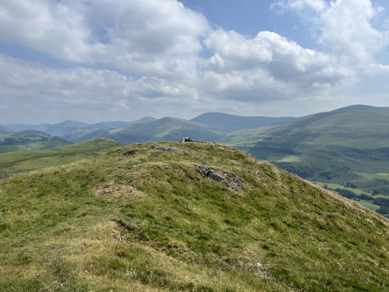
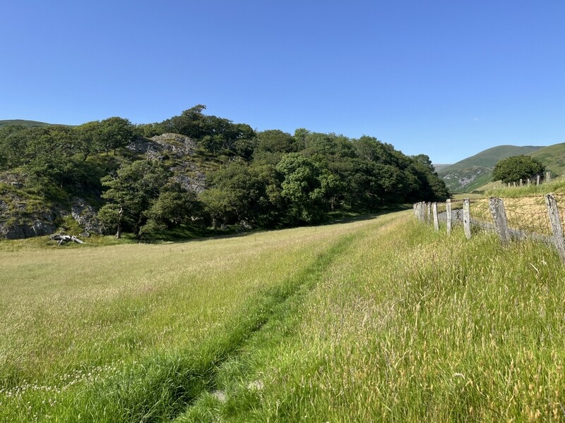
Ascending Esgair Ddu

The activation area is large, but we headed for the true summit, which is close to a fence corner. There was a slightly boggy section just below the summit, which was easily avoided. There was no shelter, but enough breeze to mean we didn’t get too hot. Caroline took advantage of a fencepost to support her antenna, which Martyn set up pretty much as near as we could tell on the highest point. Caroline didn’t expect to do well on VHF on a low summit, but HF was also poor and after half an hour we were both stuck on 3 contacts – Caroline on 2m FM and Martyn on 60m SSB. Then relief as we got S2S calls from Gillian M0OVW and Phil G4HQB on G/WB-009 – qualified. Caroline then tried 40m while Martyn ate his lunch, but that was also poor with just 2 contacts. No time for more bands if we wanted to get the second hill in, so we descended, taking a route slightly closer to the fence through the access area back to the track and then retracing our route.


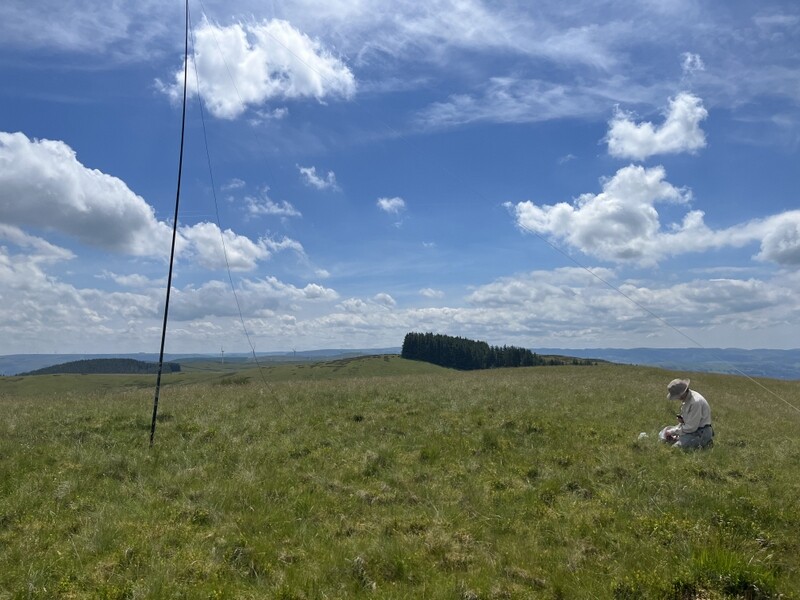
HF on Esgair Ddu summit

VHF on Esgair Ddu

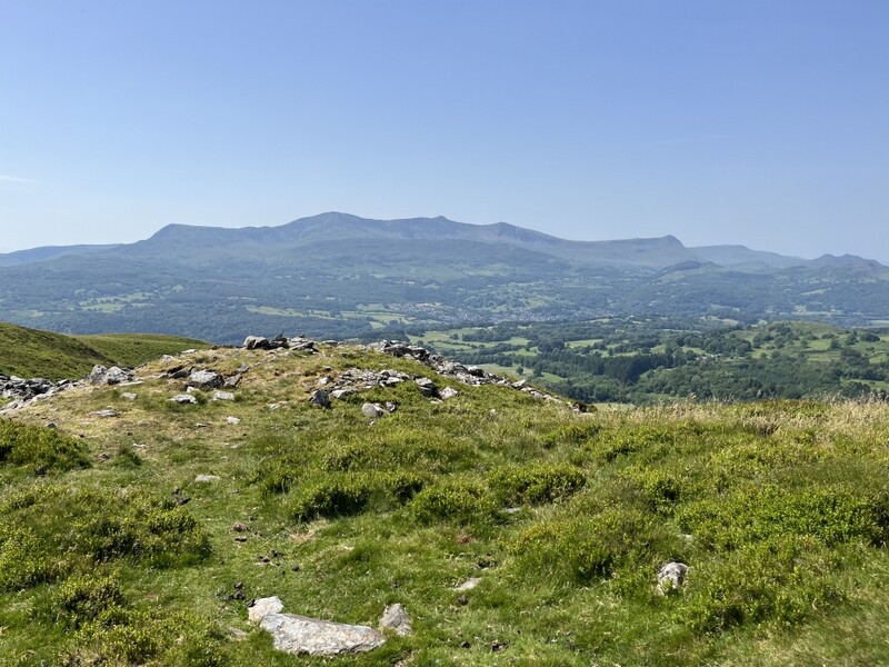
We drove through Aberangell on our way to GW/NW-052, being slightly put out when we came to a junction where there was a sign “unsuitable for motor vehicles” on the road we wanted to take – possibly turned round from one of the other roads at the junction. We carried on anyway up the single track road which while narrow with occasional passing places seemed fine for our fairly low estate car.. There appears to be room to park at the start of the forest track, but little signs say no motor vehicles, but we had identified an oversized passing place just around the corner near SH831106 where it’s possible to get a couple of cars parked without blocking. We walked back to the track start and followed Gerald MW0WML’s route – a pleasant track up through the trees before a more open path with views, and a few lumps and bumps to reach the summit trig point. There were good views, especially towards Cadair Idris.


ascending GW/NW-052 Craig Goch - Mynydd Cwmcelli

GW/NW-052 Craig Goch - Mynydd Cwmcelli

GW/NW-052 Craig Goch - Mynydd Cwmcelli

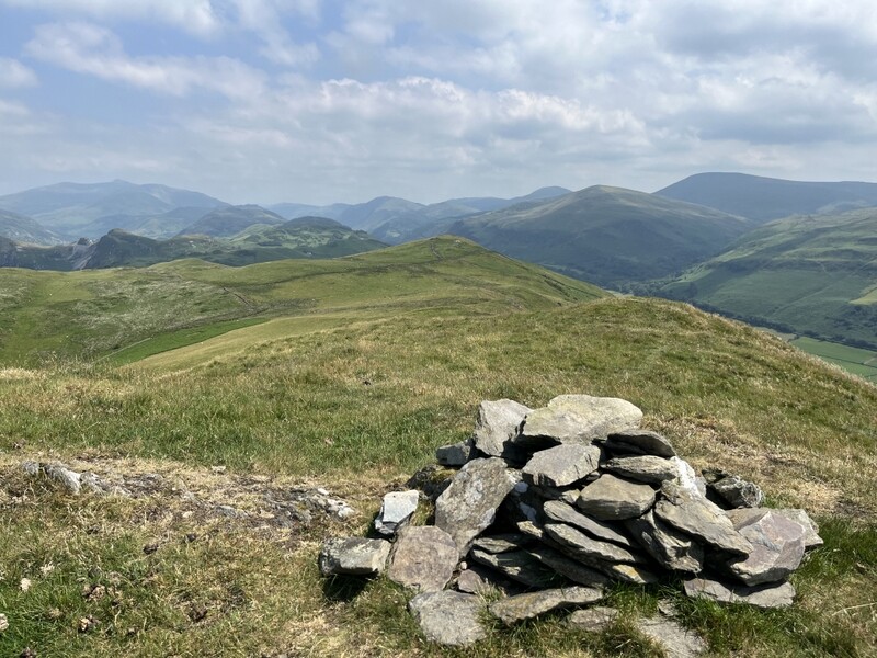
GW/NW-052 Craig Goch - Mynydd Cwmcelli trig

GW/NW-052 Craig Goch - Mynydd Cwmcelli, trig, VHF and HF stations

There was a lot of insect activity around the trig point, including what appeared to be some hornets, so we set up a little way away from it on the mostly grassy top. There was in general a lot of insect life, including various butterflies and moths. As expected 2m FM was very quiet, with just one contact in about half an hour of calling. 60m was a bit better for Martyn, but went quiet after he had qualified with 4 contacts. Would Caroline like 40m? Yes please. Thankfully it was a bit better than earlier with 6 contacts over 15 minutes. Now qualified Caroline went back to 2m FM, getting one more contact, while Martyn tried 20m, getting 6 contacts in 10 minutes. Time to pack up and descend.

Unfortunately it seems that the insect life on NW-052 included ticks, as despite having fairly tight fitting clothing Martyn had picked up three tiny ones which needed extracting :slightly_frowning_face:.

I’ve added the GW/MW-020 route to sotamaps as an alternative to the approach from the east.

4 Likes

Two more little summits plus a heat related failure.

22 June 2026: Monday: GW/NW-074 Moel Fynydd - Craig y Castell
Another day due to be hotter than previous, and the overnight heat had meant that we hadn’t slept well despite being tired after the previous two days exertions in the heat. We still had two more unique summits we wanted to do in the area, and had originally planned to both on the same day, but given the heat we planned to do just one, GW/NW-074 Moel Fynydd - Craig y Castell.

Having been warned that there might be access difficulties on an approach from the west, we decided to ascend from the east, but thought our car would be unlikely to fit in where others had suggested tight parking, we went for a longer approach from a proper car park. For the only time on the holiday we paid for car parking: £8 in the car park for Cadair Idris south of Craig y Castell. People were going up Cadair Idris, and we had it as an option for later in the week once we had mopped up the uniques, but we didn’t feel that we could cope with the ascent in the heat, even though it would be cooler and probably nicer at the top.

Loading up with lots of water, we took a footpath northeast. It was a generally good path, initially through damp meadows (with a permitted path avoiding the worst of the wet bits) and then through nice cooler woods and past Llyn Gwernan before emerging onto open countryside and access area near Gellilywd Fawr where we believe others have parked. From there we roughly followed Gerald MW0WML’s route, leaving the east west track a little earlier for a grassy track that avoided a muddy section of the main track. The path meandered around rocks passing a grassy section adjacent to trees to the south, which we worked out was in the activation area and suitable for HF. But we wanted to get to the true summit so carried on, coming to a high point with good views all round, including down to the valley in the west.


view from GW/NW-074 Moel Fynydd - Craig y Castell

view from GW/NW-074 Moel Fynydd - Craig y Castell

The true summit wasn’t suitable for an HF linked dipole, but was the best place for VHF, though being surrounded by bigger hills, VHF wasn’t going to be easy. There was nowhere we could set up both VHF and HF and be within reasonable shouting distance of each other, so we decided to see if we could qualify the hill on VHF and then possibly move down to do HF. We found somewhere to prop the 2m MFD which was almost vertical and after 20 minutes had managed just 2 2m FM contacts each, one of which Caroline also worked on 70cms. We decided to try flipping the dipole to horizontal for 2m SSB and had the necessary two extra contacts in 10 minutes.


VHF on GW/NW-074

It was reasonably pleasant on the summit as there was a cooling breeze taking the edge of the sun, but we wanted to find somewhere flatter and shaded for HF and lunch, so dropped back down to the area near the trees. Martyn took GPS readings at the summit and the lower location – 17m difference, which fitted with our reading of the map contours. The HF antenna was spread out parallel to the trees, with the back guy up a convenient gap in the crags. Caroline did re-erect the 2m dipole in a distinctly suboptimal position in the trees, and managed to get one more contact from the Co-op car park in Dolgellau. HF wasn’t good, but was better than yesterday. When 60m dried up after 3 contacts, Martyn invited Caroline onto 40m for a pleasing 10 contacts, though with lots of QSB. A final move to 20 gleaned another 9 contacts for Martyn.


HF on GW/NW-074

VHF in trees on GW/NW-074

GW/NW-074 summit from near HF operation

The trees had provided some shelter but it was getting hotter so we packed up and retraced our steps back to the car. On the way we diverted to have a look at the road where others had parked and concluded that we were right not to try parking there. It was a longer route, but pleasant on a hot day when we were relaxed about only doing one activation.

23 June 2026: Tuesday: GW/NW-063 Ffridd Cocyn

Another day due to be even hotter with worse to come later in the week. We decided to go for the last unique for us in the area, and also our last GW/NW summit to activate GW/NW-063 Ffridd Cocyn. This also had the advantage of being close to the coast, so we might hope for some cooling from sea breezes.

We had chosen to do Gerald MW0WML’s route. It was hot in the sun as we parked the car in the layby near the caravan park east of Bryncrug – a sun trap so we might expect a very hot car when we returned. Unfortunately Gerald’s route was more problematic than those of his we had used earlier in the week.

We walked back down the road to the start of the footpath, a short section to an area where various rubbish was dumped, followed by a longer steeper section up to a road on the chalet site. Round a bend and onto a fainter path up through woods. The public footpath was overgrown, but passable, the path through the woods above the chalet site was more overgrown, requiring a lot of bramble whacking with walking poles to make progress – thankfully the bramble was mostly new growth so not too resistant. There were signs that the path through woods had once been more actively maintained, with a couple of areas where there looked to be the remains of mountain bike jumps – wouldn’t get a bike through now.

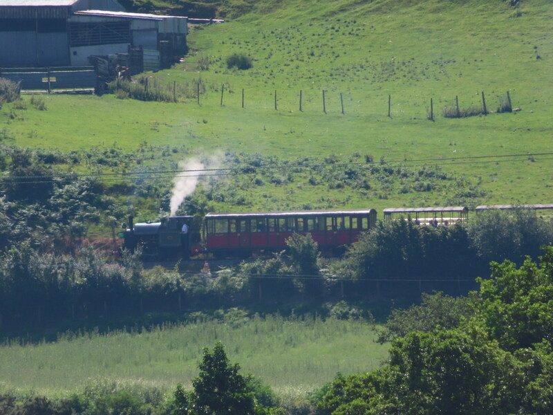
At the top of the woods there was a solid newish looking barbed wire fence. After some puzzling, we found a place a little to the right of the corner where a gap in the trees meant we could contrive a way over, protecting ourselves against the barbs by cable tying bits of broken branch to the fence. Beyond the fence there was lots of bracken, with some short sections needing hacking through to areas of sheep grazed grass. Beyond another bracken barrier we could see what looked like a bit of a path through vegetation and squeezed through the bracken to get to it. On the way through the trees we had heard whistles from the steam trains on the Talyllyn railway, and now could get distant views of them.


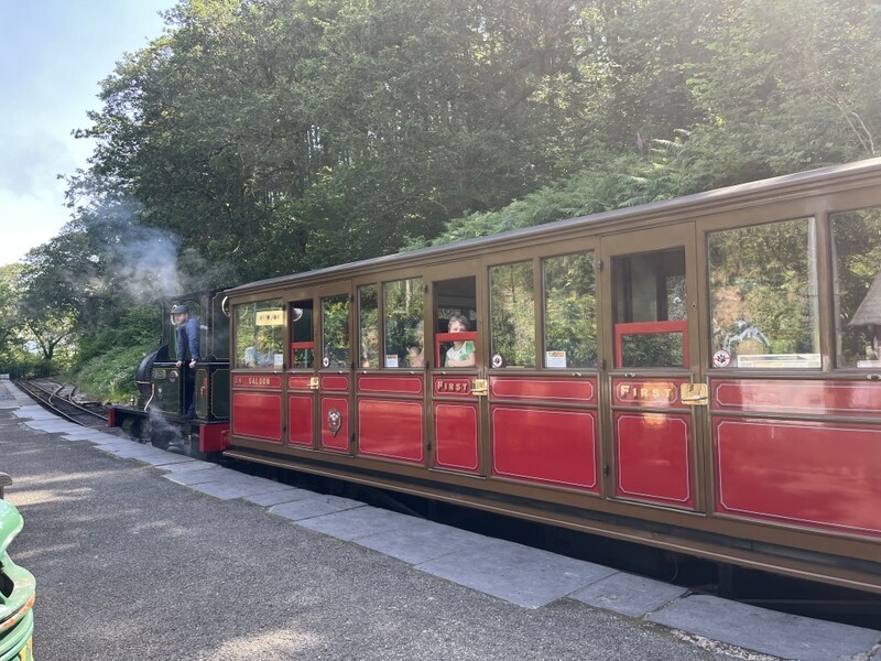
Train on Talyllyn railway

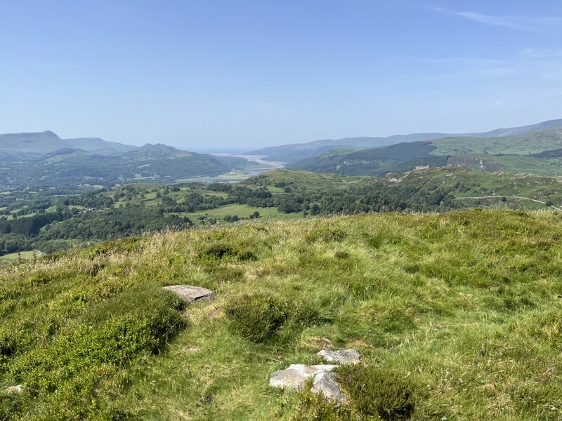
A slightly rocky bit and some reasonably spaced gorse bushes and we came out onto a grassy area to head upwards. A broken down wall and fence needed to be crossed to get to the small summit cairn which gave good but slightly misty views towards Cadair Idris and the Tarrens. The best views towards the sea had been on the way up.


GW/NW-063 Ffridd Cocyn views

GW/NW-063 Ffridd Cocyn views

GW/NW-063 Ffridd Cocyn views

GW/NW-063 Ffridd Cocyn views

The summit is nice with views all round, fence posts for VHF antenna support and grassy areas for HF. It took a while but Caroline got 5 2m FM, 4 70cms FM and 3 2m SSB contacts. Martyn got 7 on 60m, but found 40m poor, and 20m was even worse when Caroline tried it. We did manage 3 40m S2Ses, including Esther G0AZA and Ian G0AZB on ON/ON-001.


GW/NW-063 Ffridd Cocyn VHF

GW/NW-063 Ffridd Cocyn HF

At the top we met a Relative Hill Marilyn bagger, who recommended the route from Gwyddelfynydd in the west - he had asked for permission to park from the farmer. He had essentially a track to within a couple of hundred metres of the summit, and then rough grass – he did still have barbed wire fence to cross at the top to reach the true summit, but the SOTA activation area extends well beyond the fence, so SOTA activators don’t need to cross the fence. He recommended we descend via his route, but it would then have been a long road walk back to the car, and we wanted to dismantle our barbed wire crossing lash up on the way down.

It had been a good summit for a hot day as some light sea breezes and the slight mistiness took the edge off the sun and hear. We got rather hotter getting through the vegetation on the way down. Thankfully the sun had moved round so the car was now in shade, and it was only 22.5 degrees at the bottom, though felt hotter as very humid. We drove back via the coast road for different views. It was much hotter back at the cottage in Brithdir.

24 June 2026: Wednesday - SOTA fail!

Anyone not interested in either Industrial archaeology or Welsh History can skip this section!

Temperatures were forecast to exceed 30 degrees, which isn’t conducive to carrying a rucksack and radio equipment up hills. We still wanted to get out, and it should be cooler at the top of a hill if we could find a suitable one. They say, “Fail to prepare, prepare to fail”. Today we went out to try to get up a hill, but prepared to fail, but hopefully get a bit of a walk. We failed to SOTA, but did get a couple of reasonably pleasant walks, with quite a lot of historic interest, albeit warmer than our liking.

We headed west towards the coast parking at Abergynolwyn Station on the Talyllyn railway. A notice in the car park said parking £1, please pay at the station café – the car park looks to expect walkers to use it as well as railway passengers. Our possible hill was Tarrenhendre, which we had activated in 2010.

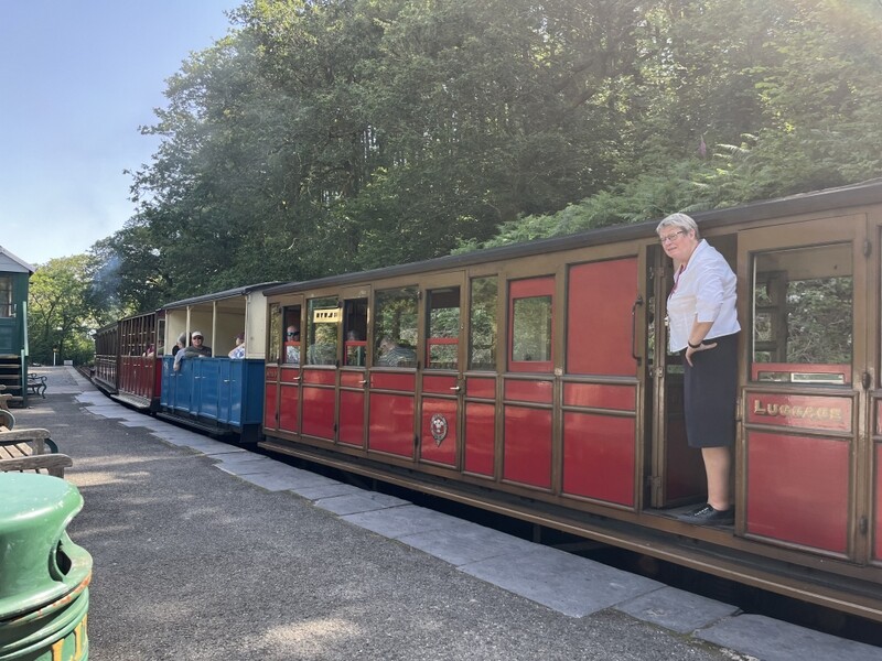
We wandered up to the station, spoke to the stationmaster who produced a fancy multicoloured parking ticket. On being told we were walking she informed us that the footbridge over the river near Nant Gwernol Station was closed due to a fallen tree – it wasn’t on our intended hill route but could be on possible alternatives. We also noted that the trains were running a limited service due to the heat, and there wasn’t a service which would allow a complete round trip of the line – useful information as we had considered a possible train trip for the following day, due to be even hotter. We did get to see a train leave the station as we set off on our walk.


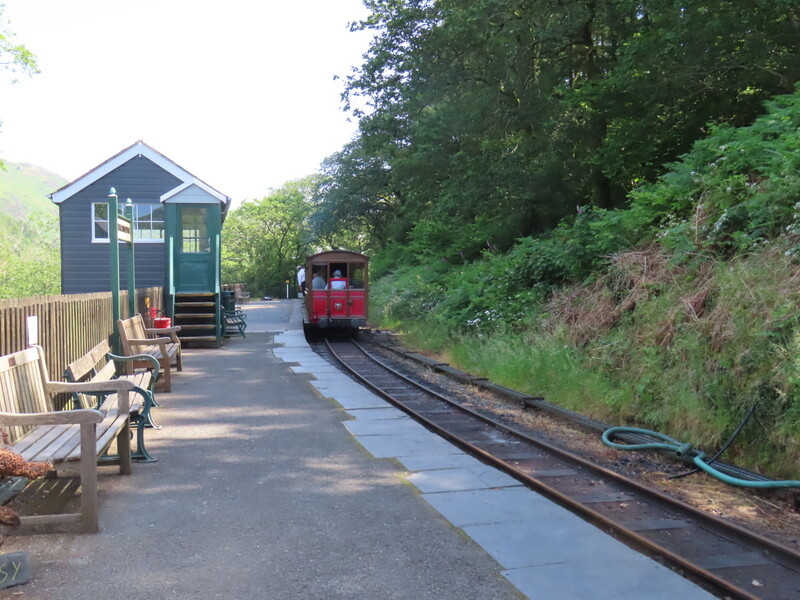
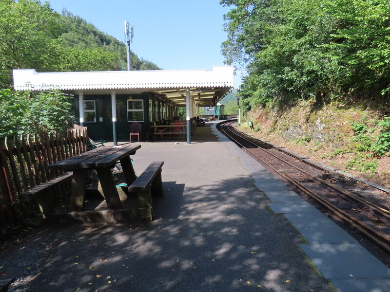
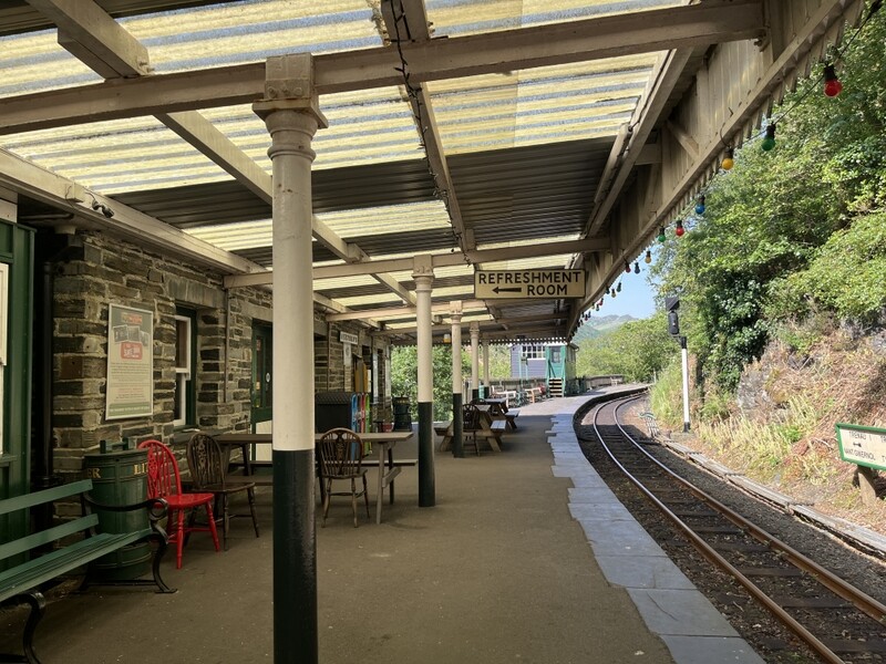
Abergynolwyn Station on the Talyllyn railway

From the map it looked as though the lower 2/3 of the route was in forest which we hoped to provide shade. Unfortunately we were soon to discover that much of the forest had been felled since we were last there, and we were more exposed to the sun and heat as we slowly climbed on forest tracks. Having passed through a couple of short sections with tree cover we came to an area where we had a good view of the way ahead to the summit, now mostly exposed to the sun.


Tarrenhendre - a summit too far

We decided that this was a summit too far in the heat, and retreated back to one of the wooded sections where we had seen a path heading through trees into Nant Moelfre. This led down to a little bridge over the river under shady tree. A little ledge near the bridge provided a lovely cooler spot to sit and eat our lunch – very pleasant.


lunch spot

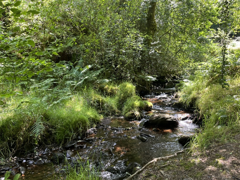
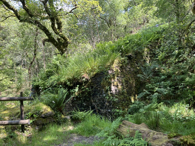
After lunch we crossed the river to try to find a couple of paths running along Nant Gwernol, but failed to find any sign of them on the ground, so returned to the bridge to head northish down to Nant Gwernol. On the way were glad we hadn’t found one and tried to come down of the dotted line “paths” shown on the map. Passing the bottom of it we realised that it was an inclined plane, originally for material from the Bryn-Eglwys Quarry, but now with the bridge over the stream at the bottom missing.


Base of inclined plane with missing bridge.

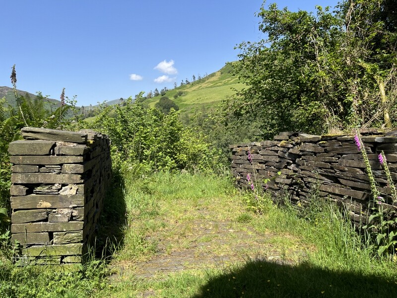
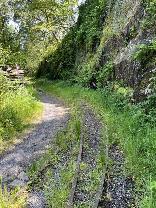
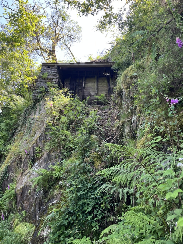
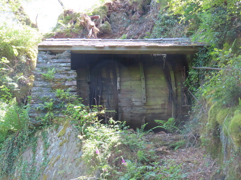
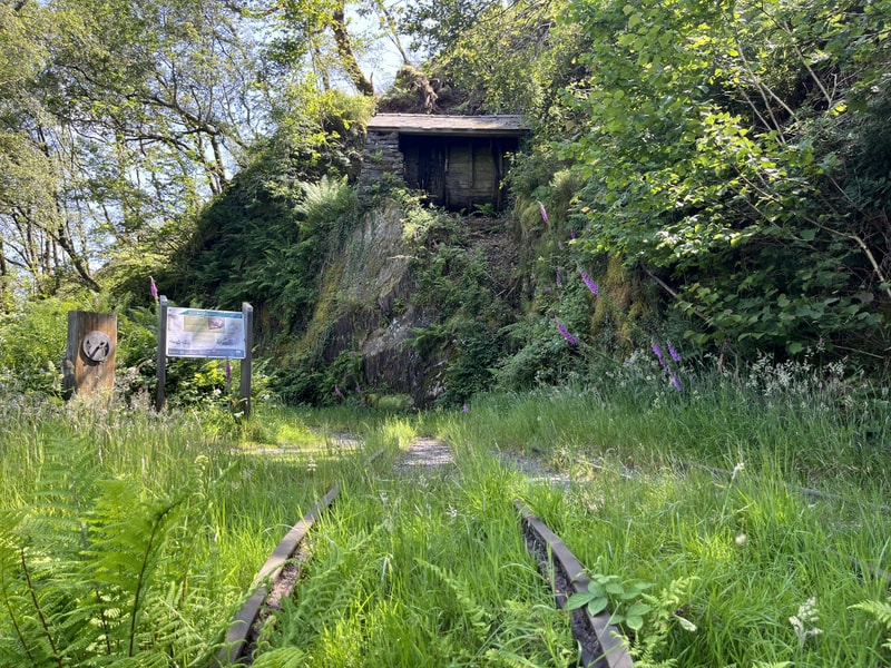
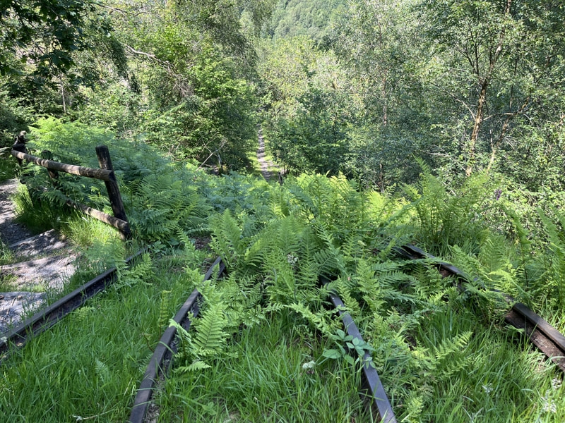
We came to a bridge over Nant Gwernol, but in the light of earlier information we didn’t cross as we wouldn’t be able to cross back lower down. We were glad we carried on as the path was fairly level and looked like it was a continuation of the quarry plane. We then came to another inclined plane, but this one had above it the winding house which had been used to wind slightly counterbalanced trucks up and down the inclined plane, with small amounts of the rails left in situ. There were also two parallel slate walls which had been the basis of a little stable for ponies that had been used to haul the slate trucks on the flat sections. A path descended next to the inclined plane, eventually joining it to head towards Nant Gwernol Station, which had been the end of the quarry railway line. It was possible to see where the plane would have brought down trucks to be transferred to the railway.


Pony stable base


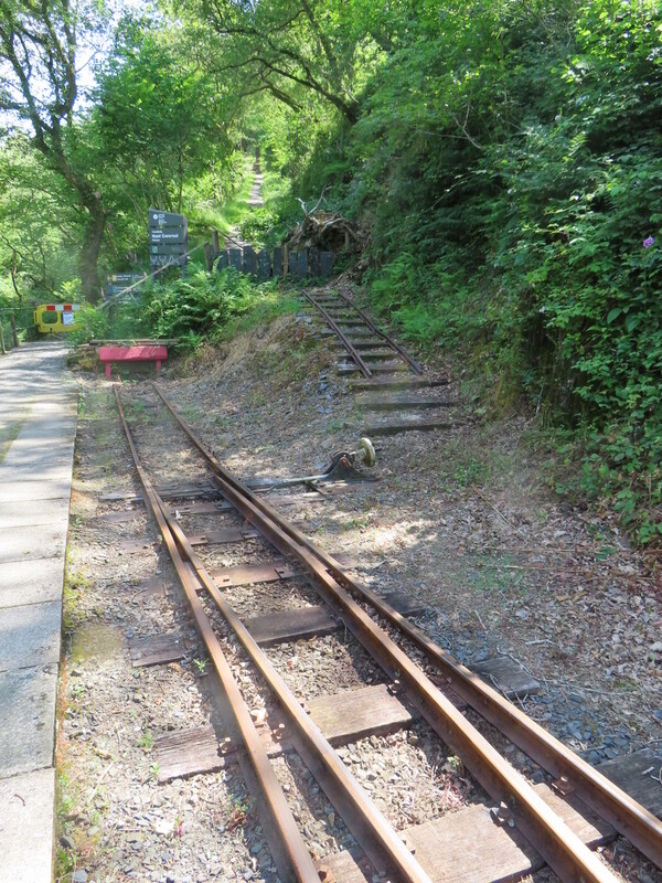
Rail tracks


Winding gear


Winding gear with cables


Winding gear with rails


Looking down inclined plane with rails


Inclined plane meets railway at Nant Gwernol


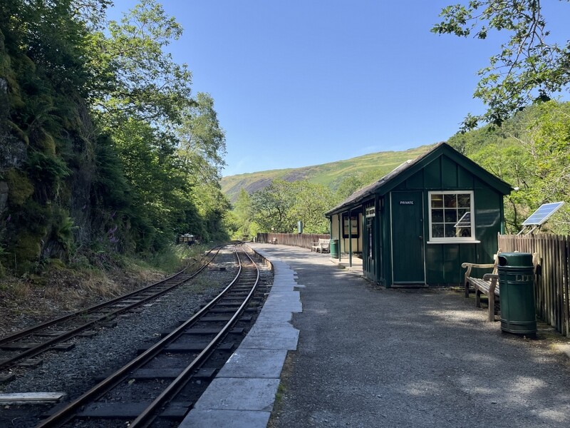
Nant Gwernol Station

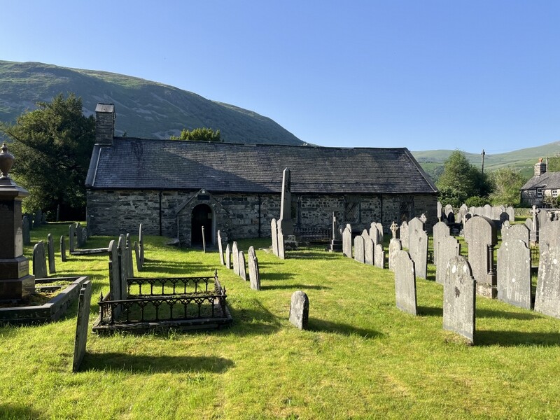
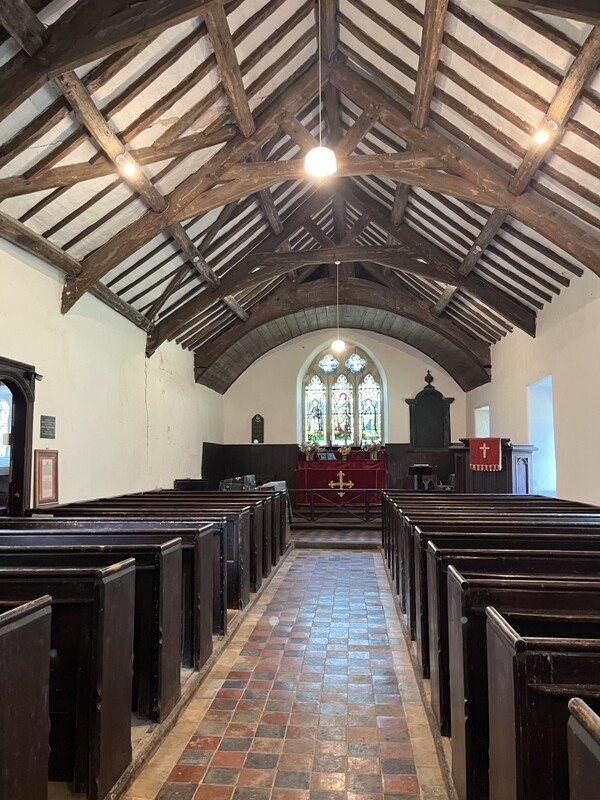
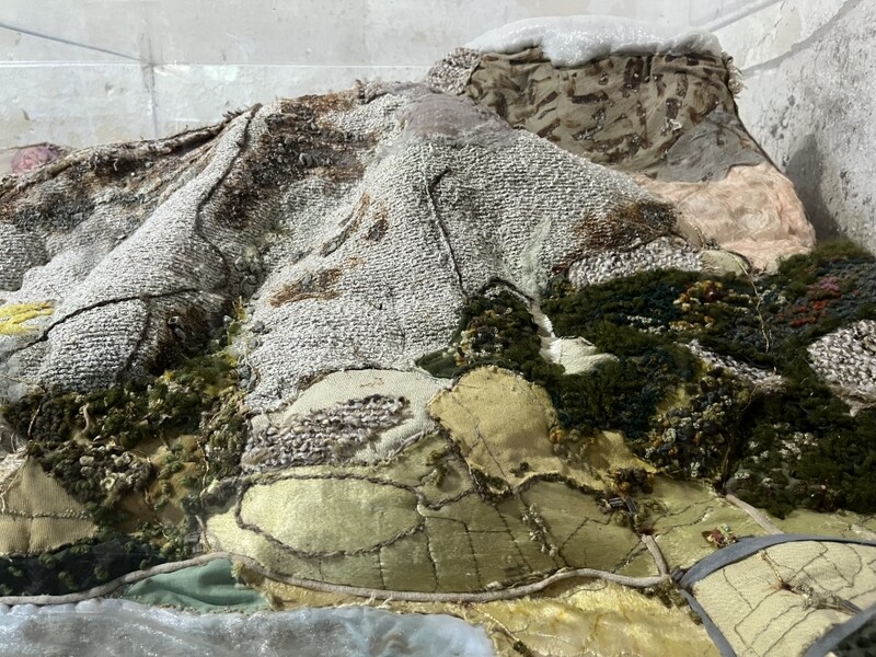
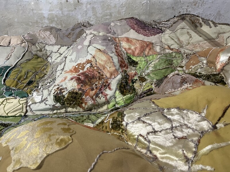
As expected, the bridge over Nant Gwernol was shut, so we needed to climb back up part of the inclined plane to find the path back to the car park. The temperature was dropping slightly and there was a bit of breeze even at lower level so we decided to do another little walk. We moved the car to the car park for Castell y Bere – a ruined castle north of Abergynolwyn, near Foel Cae’rberllan, so a visit could be combined with an activation. The castle had shut for the day, but we used the footpath round it to get some distant views, before crossing Afon Cadair and following a slightly overgrown path along it to Tyn-y-ddol where there’s a monument in the ruined house of Mary Jones, who in the 19th century was instrumental in the creation of the Bible Society. Then along the road to Llanfihangel-y-pennant to the little church where she worshipped – a simple church but in the vestry in a slightly clouded case was a massive embroidery representation of the valley from Cadair Idris down to the sea. An interesting 2mile walk to finish off the day.


Castell y Bere


Llanfihangel-y-pennant church


Embroidered 3D map in Llanfihangel-y-pennant church

3 Likes

You need to carry a pipe noodle with you.

A 50cm length weigh a few grams, squashes to nothing but can be wrapped over the barbed wire for easy crossing.

1 Like

We had thought of doing that, but have never got round to organising it, and from previous reports weren’t expecting barbed wire on that summit. I have wondered it it would work to have a section of it dropped onto the top of my rucksack antenna. The Marilyn bagger we met had come equipped with a sturdy cardboard tube with a slit in it and said he found that better than pipe insulation.

Onwards with the reports.

25 June 2026: Thursday GW/NW-055 Foel Offrwm

This was due to be the hottest day of the week with temperatures reaching 34 degrees, but it looked as though that would be late afternoon, and there might be time to fit in an activation of a little hill in the morning. We could see GW/NW-055 Foel Offrwm from the bedroom window of the cottage we were staying it and it looked inviting. We had activated it in 2010 in poor visibility, but out photos showed there was a stone construction at the summit which might provide some shade.

Our attempts to be early on the hill were thwarted when we reached a “Road Ahead Closed” sign just north of Dolgellau. An official diversion sign pointed towards Dolgellau, so Martyn tried to navigate Caroline on an alternative route, but when two possibilities had both proved to have dangerously awkward turnings off of the main road, we returned to try the official diversion, which took us a long way round, on a mass of single track roads, but we eventually ended up on the road we wanted to the “Precipice Walk” car park. The free car park also has toilets. We parked in the shade, but could tell the car would end up in the sun later on.

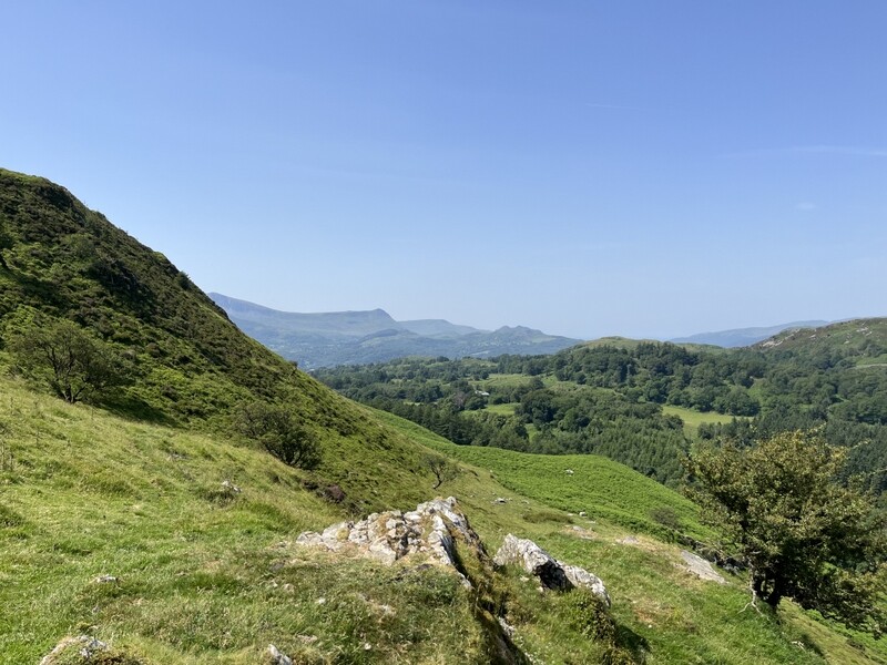
The car park is just above 200m, and with the summit just above 400m we had around 200m of ascent. We set off with lunch and lots of water, finding a better route than previously, as there are now some subtle low level stone signposts. We took the track opposite south end of the car park, with the first sign pointing us right at a fork onto a very gently ascending path around the hill. A second sign near the northern extent of the path pointed us uphill onto a sometimes vague path that meandered gently uphill. Part way up a seat gave good views.


Ascending GW/NW-055 Foel Offrwm

Ascending GW/NW-055 Foel Offrwm

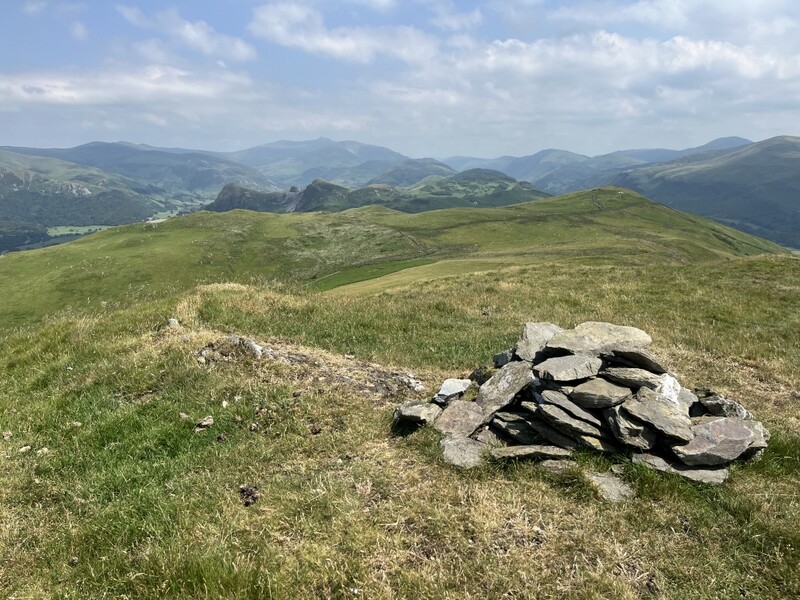
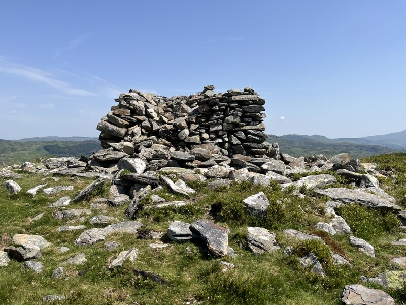
Approaching the top we passed the ruined walls of the “fort” and made our way to a square structure at the summit, part of which is broken down.


GW/NW-055 Foel Offrwm towards Barmouth


GW/NW-055 Foel Offrwm “structure”


GW/NW-055 Foel Offrwm towards Cadair Idris

It was hot at the summit in the sun, but there was an occasional light breeze. Caroline set up base camp and VHF on one corner of the square structure, where there was partial shade on one side, and as the sun moved round, she should be able to easily relocate to the other side. Martyn is slightly more heat resistant and needed to be a bit further away to set up HF. As the day went on the temperature rose, but the breeze also increased.

Radio was very slow going. After a while we rendezvoused to see if the other was doing better – Caroline had 2 2m FM contacts and Martyn had just one 60m SSB contact. HF conditions seemed poor. We decided to try 40m, with both of us working at least the first three callers to qualify the hill. There were only 3 40m callers before it all went quiet, but at least we had both qualified the hill. Martyn tried a bit more on 40m while Caroline returned to VHF and UHF where she found 4 more 2m FM contacts plus a couple on 70cms FM. Martyn moved to 20 where a self spot produced just 3 contacts. He continued looking for other summits while Caroline continued listening on 2m while eating lunch. We managed to chase a couple of summits on 20m with very difficult copy, but HF in general was poor.


GW/NW-055 Foel Offrwm towards Cadair Idris


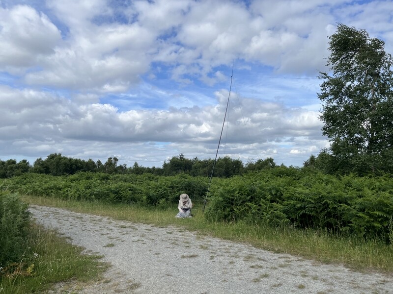
GW/NW-055 Foel Offrwm VHF/UHF - too windy to go higher

We started packing up, but progress was delayed when Martyn realised he had lost the bung from his fishing pole. We spent some time looking in the heathery vegetation for it before he felt rather than saw it. The bung found, Caroline returned to her station for final calls, ending up with 9 2m FM and 5 70cms FM contacts – not bad for a little hill, but it had taken three hours! We had stayed longer than planned; despite the hot sun, the breeze and some shade had meant it was pleasant at the top. We retraced our steps back to the car park.

The car was now in full sun and very hot, but it was reasonably pleasant in the shade of the trees where there was still a breeze. We freshened up with a splash of cooling water in the toilet block, and topped up our water bottles from the supply left in the cool box in the car. We moved the car to a now shaded part of the car park, and rather than immediately returning to a hot cottage we decided to try a gentle walk under the trees. We did part of the Precipice Walk, replacing the higher exposed sections with a circuit of Llyn Cynwch – a pleasant addition.


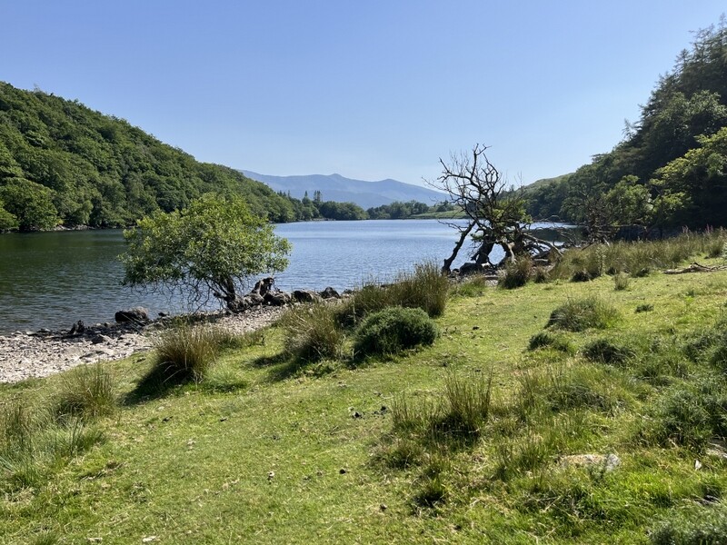
Llyn Cynwch

Returning to car we were relieved to find that the roadworks which had closed the direct road to Dolgellau had finished for the day. Calling into Dolgellau Co-op to buy milk we were immediately hit by a wall of heat as we got out of the air-conditioned car – it was much hotter at low level than it had been even at the car park at 200m.

26 June 2026: Friday: GW/MW-030 Stingwern Hill

We were moving on from a week in an excellent cottage in Brithdir, for three days in a cottage near Clun, so that we could go to the GW SOTA S2S party and Hog Roast meet up. It had been a hot night and we hadn’t slept well, and the forecast was for another hot day, but not as hot as yesterday. Our original intention had been to go shopping in Welshpool and then head for GW/MW-030 Stingwern Hill, but not wanting to have food sitting in a hot car during the day, we decided to do the hill first.

Having looked at the suggested parking on Streetview, we weren’t sure our car would fit between the gates. We had identified alternative parking over a mile away which would have meant an extra road walk in the heat, so cautiously made our way along the single track road with grass growing up the middle, finding that we could just fit our car in the gap between two gates.

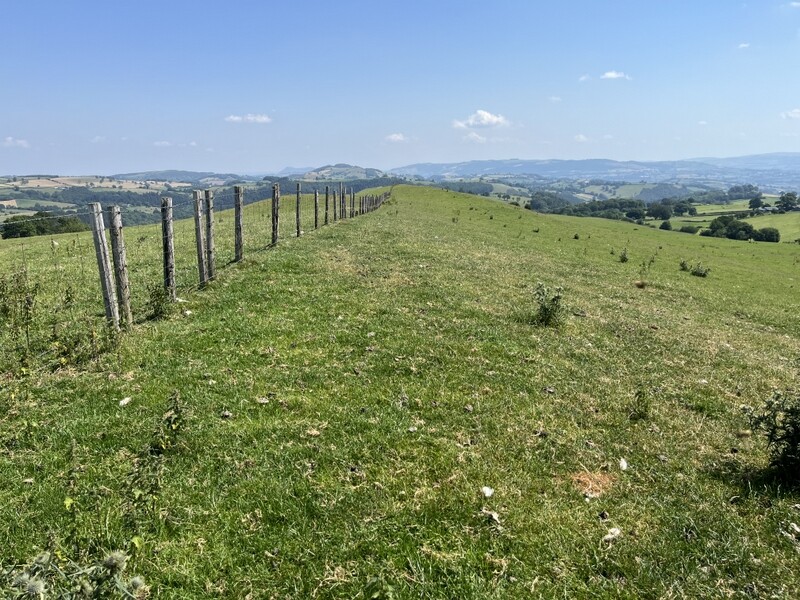
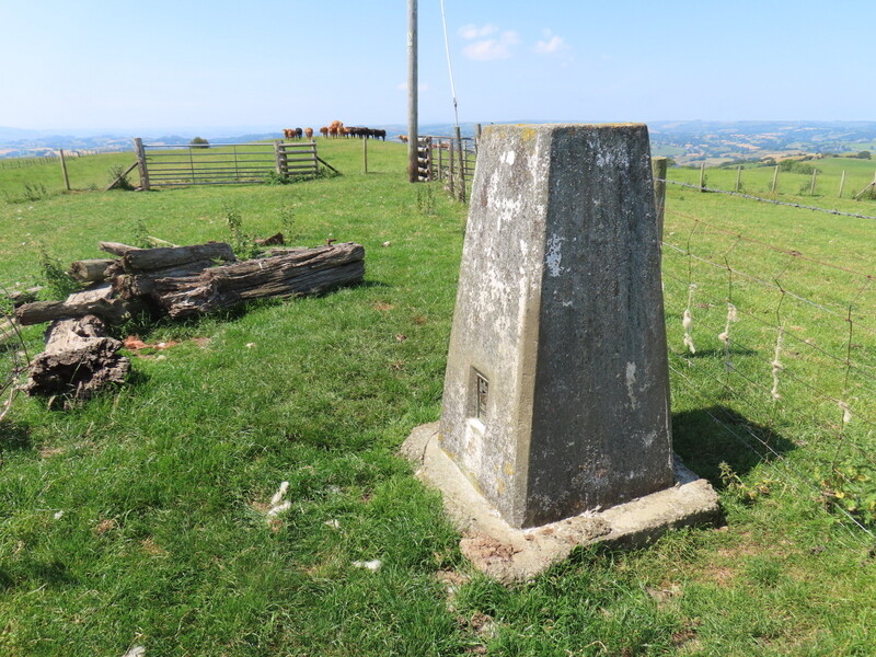
We loaded up with radios, lunch and lots of water and headed back down the road a short distance to where a well hidden and awkward stile under trees gives access to the field. Once safely over it was just a matter of going up with a fence on our right. Cattle the other side of the fence eyed us curiously and gathered in a group, but thankfully were confined to the other side of the fence. An open gate at the top led to the trig point. Again we were grateful for a gentle breeze taking the edge off the temperature.


GW/MW-030 Stingwern Hil looking east


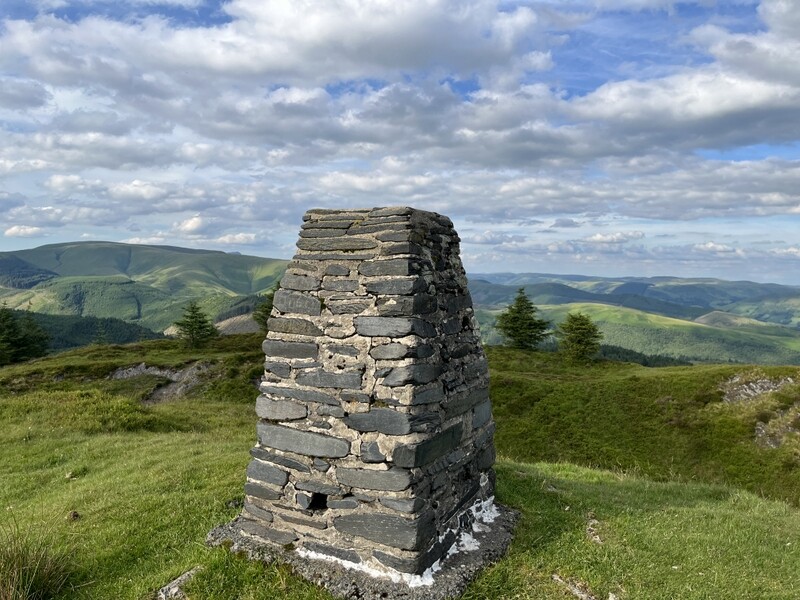
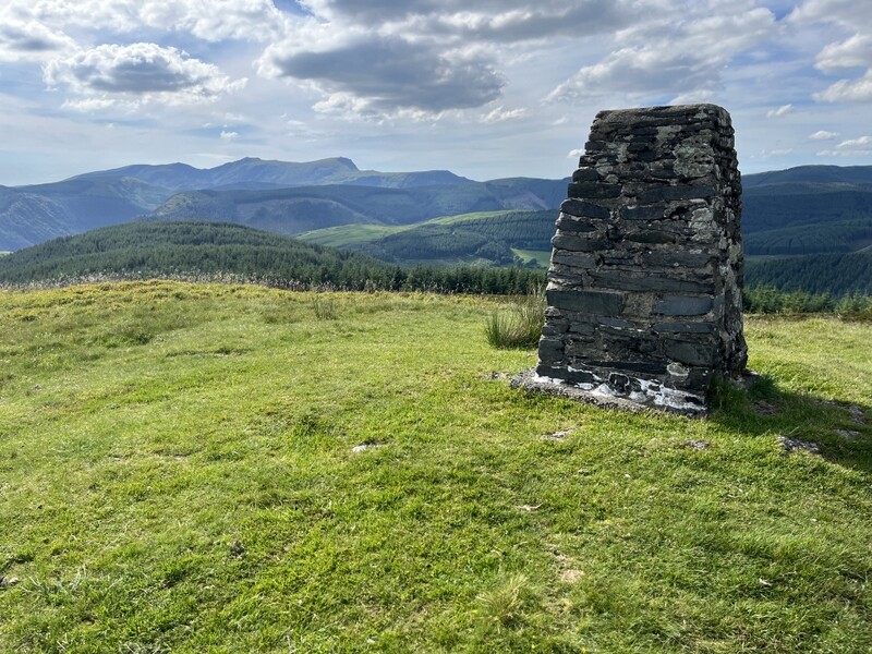
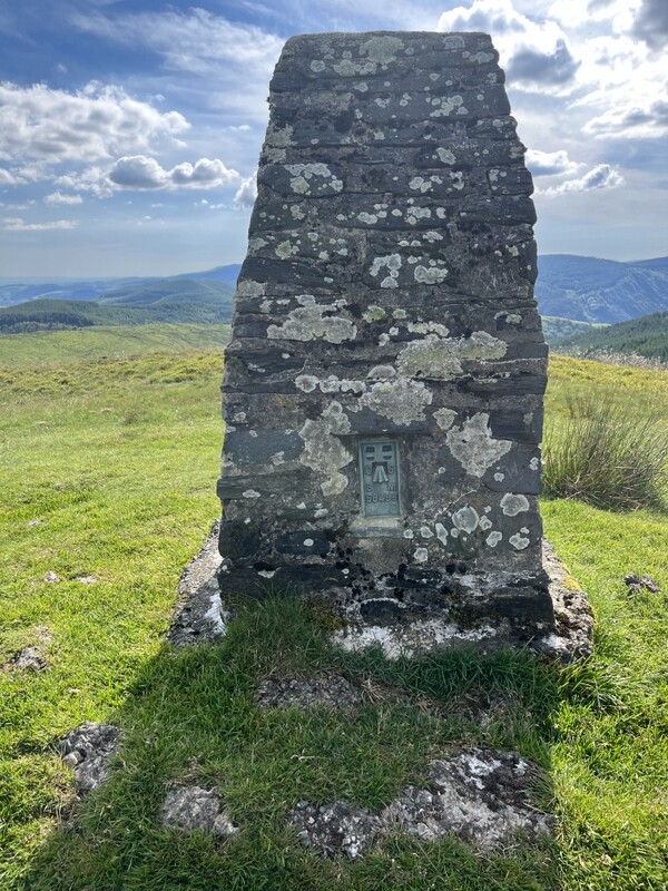
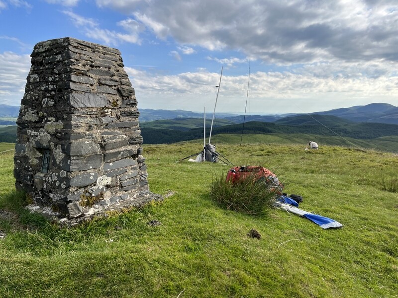
GW/MW-030 Stingwern Hill trig

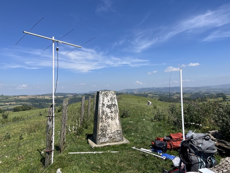
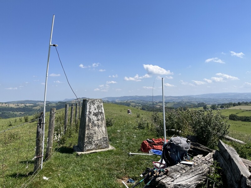
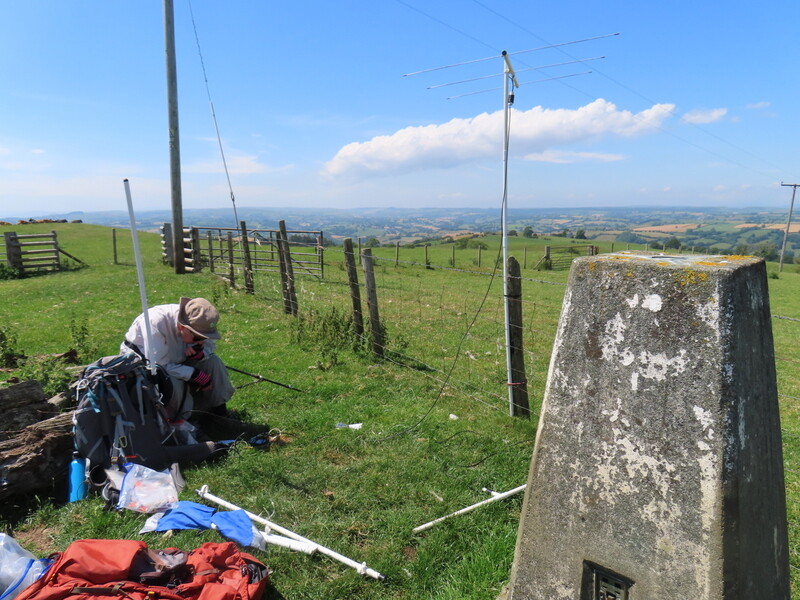
There was no shelter at the top, but scattered near the trig point were the remains of various old posts, which provided somewhere for Caroline to sit, while using a fencepost as an antenna support. There were sheep droppings in the field but no sheep. Martyn moved a little further east to set up HF. Radio conditions weren’t good. Caroline’s initial 2m FM attempts yielded a single contact, so after Martyn had run out of 60m contacts with just 4, Caroline moved to 40m, where she struggled to 4 contacts, 2 of which were S2Ses which Martyn also grabbed.

Caroline decided to try 2m SSB, this time getting the SB3 out, and managed to get 5 contacts, including an S2S for both of us with Tom M1EYP. Meanwhile Martyn found another difficult 40m S2S for us both, before moving to 20m SSB. He managed 2 more difficult S2Ses, only one of which Caroline could also work, plus one more contact – bands really not good. Caroline reverted to 2m FM while eating lunch, getting one more contact, while Martyn tried 10m for another hard won 3 contacts.


As we were packing up, Caroline’s handheld sprang into life for S2Ses with both of us with both Tom M1TJM and Jake M0PVC on Shining Tor. They told us that they intended to activate Stingwern themselves that evening, which was of particular interest to Caroline who hadn’t previously chased the hill and would like a complete.

We returned to a rather hot car and made our way to Tesco in Welshpool to stock up on food. Unfortunately, Tesco had had a refrigeration failure and less than half of the fridges were working with things out of stock, so we also needed to find Morrisons to get stocked up.

We settled into the “upside down” holiday cottage north of Clun, which had a balcony off the kitchen leading to external stairs to the car parking. Tom and Jake had spotted for a 2m evening activation, so while Caroline made dinner, Martyn set up an FT-817 on the balcony attached to the rucksack antenna on an extension pole, monitoring 2m FM calling. We didn’t hear anything. Then Martyn noted that they had been spotted on 6m SSB. We didn’t have a 6m antenna that we could easily attach to the radio on the balcony, but then realised that although it was in a dip at the bottom of the stairs, the car had a 6m capable antenna, so we rushed down to the car to a different FT-817. Standing outside the car we managed to both work both Tom and Jake – only readability 4 both ways but contacts made. Probably the first time that Caroline has both activated and chased a summit for the complete on the same day.

5 Likes

Final set of reports from our trip to Wales and the Welsh Borders

27 June 2026: Saturday: GW/MW-031 Caeliber Isaf

The day of the GW SOTA S2S party and Hog Roast meet up. Our summit was GW/MW-031 Caeliber Isaf, which we had chosen as it was a unique (and complete) for us, and was about mid-way between the cottage we were staying in and the Hog Roast. We weren’t sure of the route to the summit as we had seen various signs saying the B4385 was closed somewhere near Montgomery but not exactly where. We had no problem finding our way to Camp Farm Cottages, but there was nobody about to ask for permission to park, and it wasn’t obvious which of the many buildings to try. So we just parked next to another car.

We set off down the bridleway, leaving it where it entered woodland having crossed a stream. The track straight on was blocked by barked wire topped unopenable gates, so we took the rough ground – an uneven felled area, until finding somewhere we could gingerly get over the barbed wire into a field with sheep. Following the partially felled tree line upwards, we decided to go for the “official” more northerly summit, though the other would have been closer! This involved a gate crossing into a field with cows, who thankfully ignored us as we skirted around them, only to start taking an interest as we climbed the gate to the next field. One more gate and we were into the summit field – gently rounded grassy and with no livestock. We could already hear other stations calling, but in the absence of a suitable fence post, had to guy the MFD for a nice stable VHF setup.

Being slightly later than many people we went search and pounce for other stations. Not running on our own frequency until later on meant we failed to contact some of the other summit stations who were also searching and pouncing – hearing them working other summits. We moved to 70cms for some summits, eventually deciding to run on 70cms as 2m seemed pretty full! We also flipped the MFD horizontal for some 2m SSB contacts, before finally finding our own 2m FM frequency. Caroline ended up with 18 2m FM S2Ses + 3 other contacts, 5 70cms FM S2Ses + 1 other contact and 3 2m SSB S2Ses, with Martyn grabbing all the S2Ses plus some of the others. Overall we had S2Ses with 23 different summits as some summits had more than one operator. Martyn put up the HF antenna, but was so busy on VHF/UHF he didn’t have time to run on his own frequency, and just chased a couple of the “Long Wave” special event stations.


GW/MW-031 Caeliber Isaf

We managed to find a worse way down than up! The field with possibly curious cows was easy as they had moved to a different part of the field, but back in the sheep field, we spotted a gap in the barbed wire higher up and decided to cross – mistake – the other side was a mass of felled tree roots, deep grass, brambled, thistles, uneven ground. We were very hot by the time we got back to the track and bridleway.

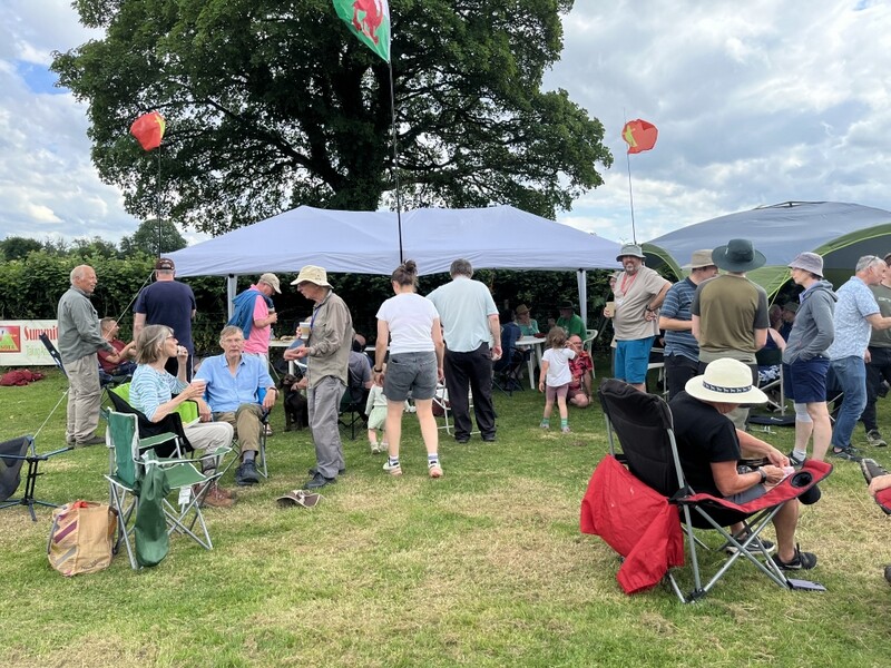
Thankfully the B4385 closure appeared to be in the section we had bypassed by doing Caeliber Isaf, and we got to the meet up around 3pm. An excellent time was had meeting up with some familiar facing and being able to put faces to some other voices and callsigns. The food was good too. Martyn managed to win a J Pole in the raffle, which Caroline is more likely to use, adding to her collection of 2m antennas.


Hog Roast

28 June 2026: Sunday - G/WB-016 Wapley Hill and G/WB-012 High Vinnalls

Our aim was to do some of the G/WB summits which we hadn’t previously done. One possible pairing was G/WB-008 Hergest Ridge with G/WB-011 Bradnor Hill, another was G/WB-016 Wapley Hill with G/WB-017 Shobdon Hill (which we had previously activated). However discussions at the Hog Roast had suggested that Bradnor’s golf course might not be a good idea on a Sunday, and that Shobdon wasn’t that nice (we didn’t really recall our previous visit).

Caroline woke up feeling slightly dozy and brainless, but wanted to be out anyway. It was still hot, though not as bad as it had been. Our revised schedule was G/WB-016 Wapley Hill followed by G/WB-012 High Vinnalls. The road up to the Wapley Hill parking looked more like a farm track with lots of dried mud, but there was plenty of parking, with some shade from trees. The car park and track were quite busy, mostly with dog walkers, but was quieter further up the hill. Caroline was still feeling lethargic, and the walk started with her just concentrating on putting one foot in front of another – a feeling normally reserved for the latter stages of more strenuous walks. It was a pleasant woodland walk and Caroline revived a bit as we got higher.

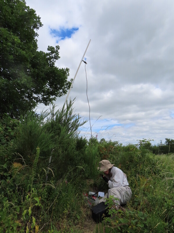
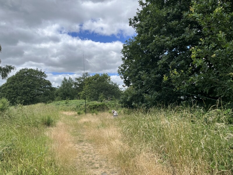
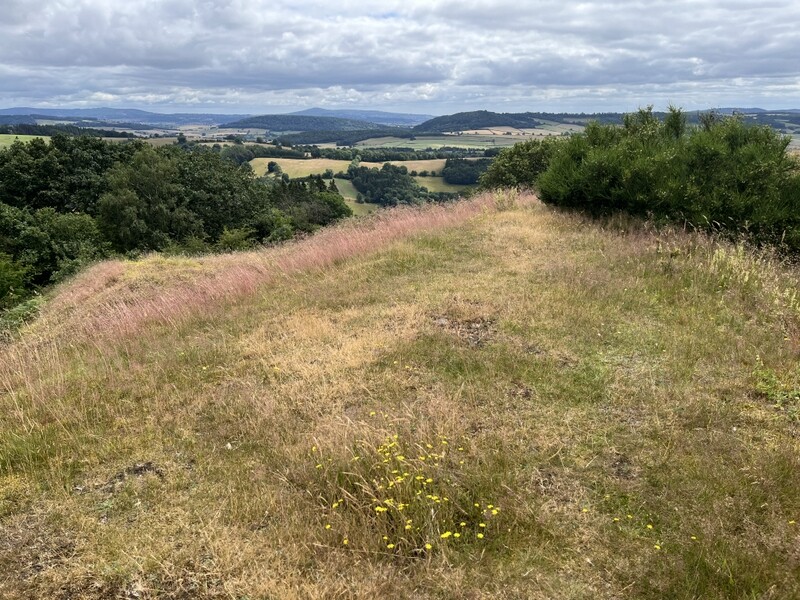
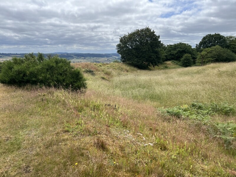
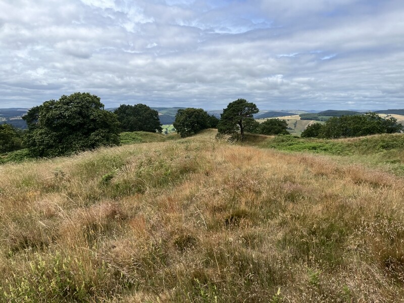
We made our way to the hill fort area, which was more vegetated than we expected inside the inner ramparts. Viki M6BWA had suggested VHF was best from the edge of the inner rampart, but it wasn’t obvious where, and HF also looked tight. We did a complete east west traverse of the hill fort looking for suitable places, but ended up back at the eastern end, where Caroline spotted a broom bush with enough strength to support the MFD on the edge of the inner rampart. Martyn needed to move further away inside the ramparts to find somewhere for HF that didn’t infringe on the path.


G/WB-016 Wapley Hill looking inside hill fort from east end of inner ramparts


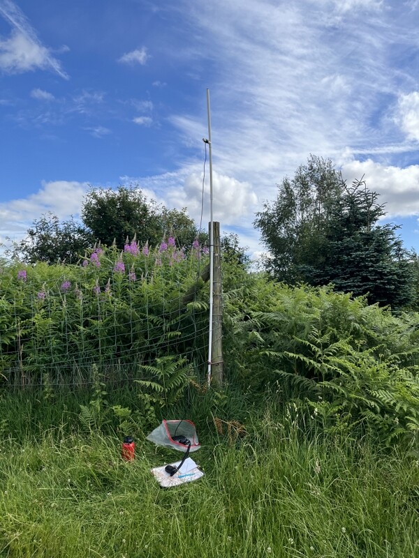
G/WB-016 Wapley Hill VHF


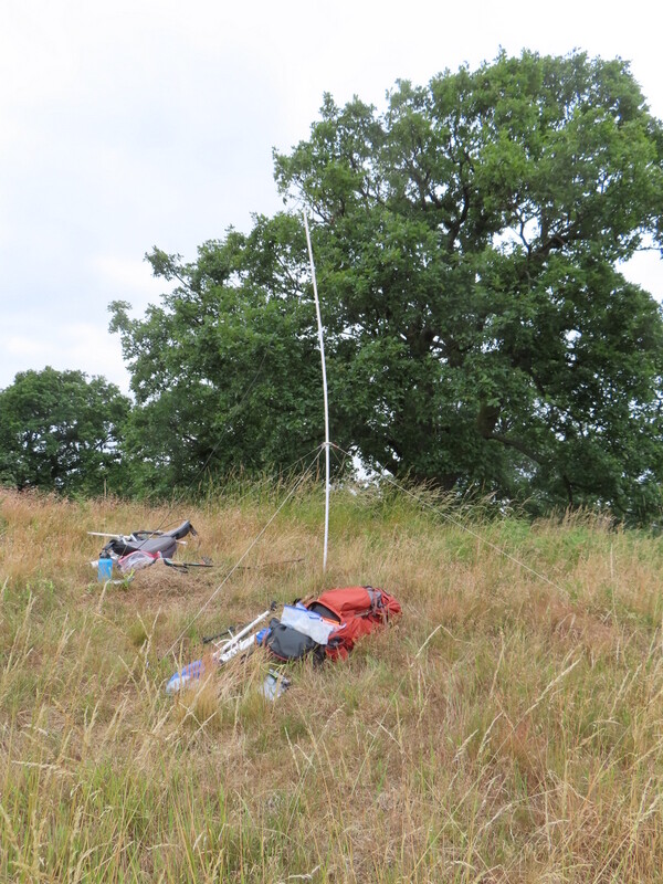
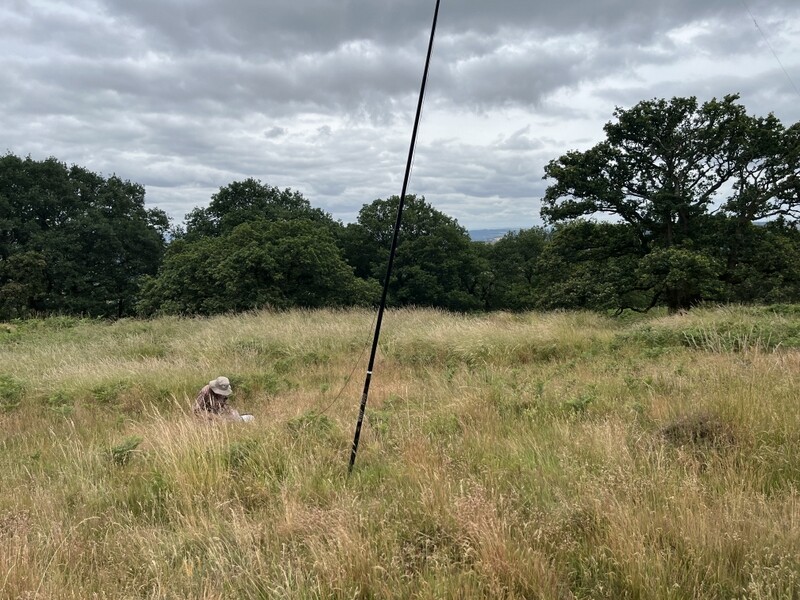
G/WB-016 Wapley Hill HF

2m started slow, and after 15 minutes, Caroline had 2 2m FM and one 70cms FM contact. Martyn came over to tell her he had a 40m S2S available just as Caroline’s CQ was answered by MW7KRS/p on GW/SW-005, who we both worked for the S2S, before Caroline headed over to the HF station for an S2S with GI0BFD on GI/SW-002. Martyn then reverted back to 60m, getting just three contacts there. Caroline persisted with 2m FM, and was found by three more summit stations. Martyn was back to find out if Caroline needed to run on 40m, and we had a slightly chaotic few minutes managing to work the various combinations of both of us on Wapley, with Tom M1TJM and Jake M0PVC on G/WB-007 Heath Mynd and with Leandro G5LSI on G/WB-005 Long Mynd. Caroline also worked the other three on 70cms, ending up with 8 2m FM and 5 70cms FM. Martyn didn’t really have time to run on 40m if we wanted to get a second hill in, but we did manage a 40m S2S onto GM/NS-138 – a complete for us.

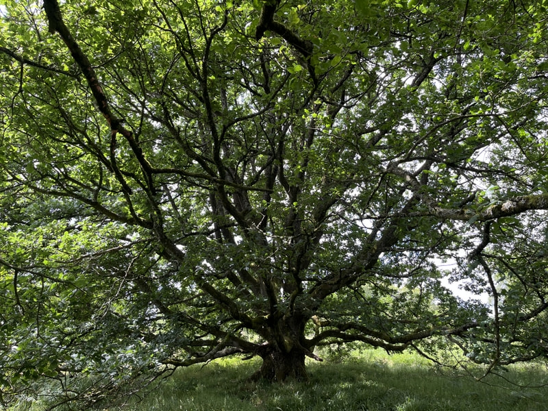
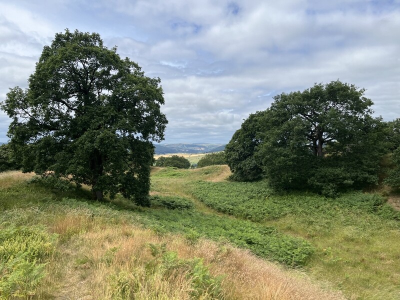
As we were packing up, we realised that Martyn’s station had been on the edge of a rather fine old oak tree. With lunch eaten we descended, taking a slightly different route back through some of the trees.


Wapley Hill Oak Tree

We drove cross country to the forestry car park to the north of High Vinnalls. As we were about to set off walking, we heard Tom M1TJM and Jake M0PVC calling from their next summit, G/WB-003 Stiperstones. We worked them for the chaser points as they might have gone by the time we got to our summit. We set off up the hill, as usual with plenty of water, taking the most direct route to the summit. We had some shelter from the trees on the way up, and a bit of a breeze at the slightly more open top.


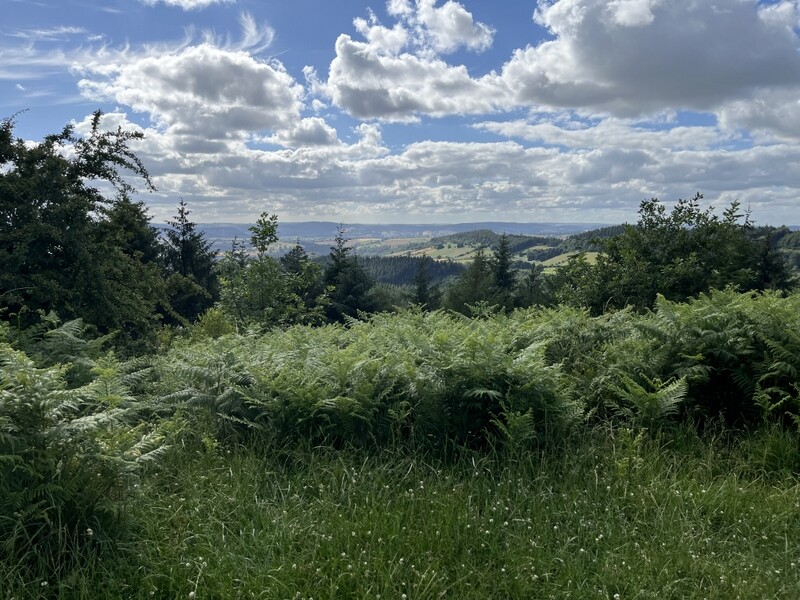
G/WB-012 High Vinnalls limited summit views

The summit isn’t particularly well defined, but we found a position where there were some views through the trees, a suitable fence post for Caroline’s VHF antenna, and some space by the track for Martyn to set up HF without blocking paths. A quick call on the handheld at the summit and we both had S2Ses with Tom and Jake, Caroline also working them on 70cms. Once Caroline had set up the main station, she had a run of 4 2m FM and 2 70cms FM contacts before being called again by Tom and Jake who had now moved to G/WB-005 Long Mynd – S2Ses all round again. Meanwhile Martyn had moved to 40m for 7 contacts after a run of 3 on 60m. Caroline continued on 2m and 70cms FM, with a final move to 2m SSB, getting 13 2m Fm, 8 70cms FM and 2 2m SSB contacts.


G/WB-012 High Vinnalls VHF/UHF FM


G/WB-012 High Vinnalls 2m SSB


G/WB-012 High Vinnalls HF

We took a longer descent route, heading south off the summit with views to distant South Wales hills. Back at the cottage Caroline was still feeling very tired, but it had been a good day.


Views to south when Descending High Vinnalls

29 June 2026: Monday - G/WB-014 Burrow

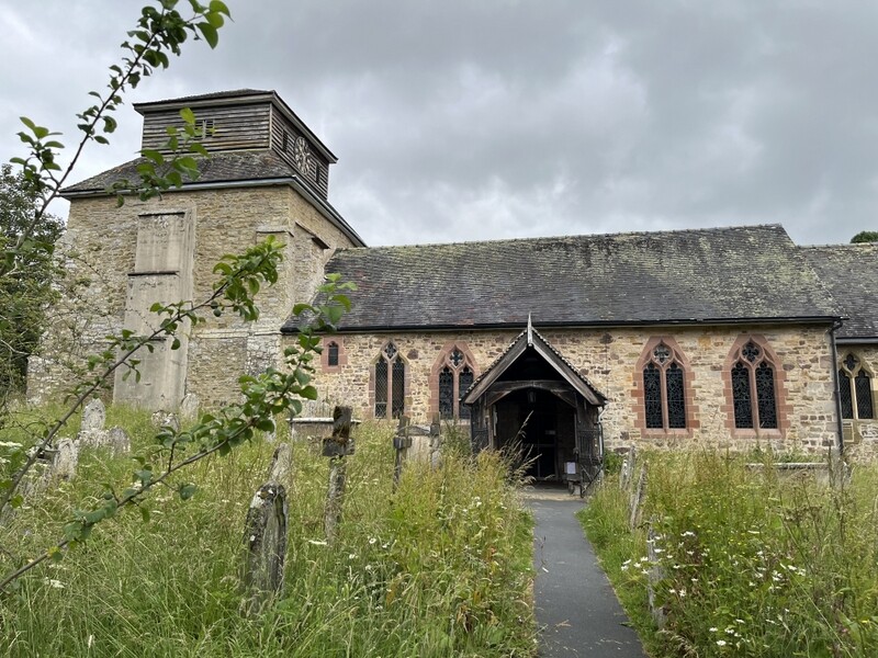
Time to head back east and home to the flatlands, but we wanted to fit another hill on the way. Not far off our direct route back was G/WB-014 Burrow. A 20 minute drive led us to roadside parking in Hopesay a little north of the lane to the church, near where a footpath leaves the road. We were going to do a variation of a circular walk around Burrow (from “Discover Shropshire”), extended with an inner circular walk to the summit hillfort - a double circular walk! Ignoring the footpath by where we had parked, we took the road by the church. The church had a curious stumpy stone tower topped with a wooden structure – it looked interesting but we didn’t have time to go inside.


Hopesay church

We carried on various field paths, part of the Shropshire Way, which ascended gently. The circular walk left the Shropshire Way to descend steeply through the edge of woodland to Beeches Hollow and a track which ascended slowly through woodland along the western flank of Burrow. Part of the way along we encountered a high fence with a gate with a simple improvised latch. By the gate were also what appeared to be batteries for a low level electric fence, which we could easily step over. Running along one side of the track in the enclosure there appeared to a wire connecting strange shaped red containers at periodic intervals. We failed to work out what they were for, and also forgot to take photos! A similar gate with more adjacent batteries let us out of the enclosure.

The public footpath descended slightly before a left fork headed upwards to a path junction at the south end of the hill. We left the public footpath here for what was advertised as a waymarked permitted path up to the hill fort. The waymarking was rather sparse! We took the well-defined track to the right of a wooden “map” of the paths, which climbed gently, keeping straight on where the main track bent right and getting views east as the trees thinned out.

The track skirted the eastern edge of the hill fort ramparts, and we came to a gate allowing us access into the fort area. It is impressive with multiple layers of ramparts, though some obscured by vegetation.


G/WB-014 Burrow view from eastern ramparts


G/WB-014 Burrow view inside eastern ramparts

The eastern entrance is outside the activation area, wo we made our way up through more ramparts, until we spotted a higher area within the western area of the fort. There were some trees around the highest point so we moved a little west to find a clear area for Caroline to set up the MFD for VHF/UHF with Martyn on HF a little lower.


G/WB-014 Burrow summit and hillfort views


G/WB-014 Burrow VHF/UHF


G/WB-014 Burrow HF

Caroline’s initial VHF calls yielded just 2 2m FM and 1 70cms FM contact. Martyn had qualified with 4 contacts on 60m, when he moved to 40m to chase Neil MM0NJH on GM/ES-027, which Caroline also grabbed – another complete for us. Still needing 1 more contact to qualify, Caroline took over 40m for a good run of 15 contacts – much better than previous days. Meanwhile tried 2m SSB, needing to get out the SB3 to complete a difficult second contact. While eating lunch Martyn went back to 40m for some search and pounce, with Caroline eventually qualifying on 2m FM, when one of the earlier callers recruited his XYL to make the 4th contact!


Descending western ramparts of Burrow

We continued west to descend through the hill fort ramparts, finding a much less well defined path to complete the inner circle of the walk. Back at the public footpath we took it towards Aston-on-Clun. This proved more of a challenge – initially a narrow path through trees, it came out to what was supposed to be a sunken track, but was partially blocked with fallen trees and overgrown. Once past the trees, it was possible to take a parallel path through fields. At a junction the sunken track heading back towards Hopesay was no better, being overgrown with much nettle, thankfully a parallel path through fields was possible, which in places had clearly become official with waymarked gates. Eventually the enclosed track improved and we were able to make it to Hopesay with no further problems.

This wasn’t a trip which gained us lots of points, as most of the summits were single pointers. The little landmarks reached were that we have now both activated all GW/NW summits - lots of GW/SW and GW/MW still to do, and Martyn now has over 500 completes.

7 Likes