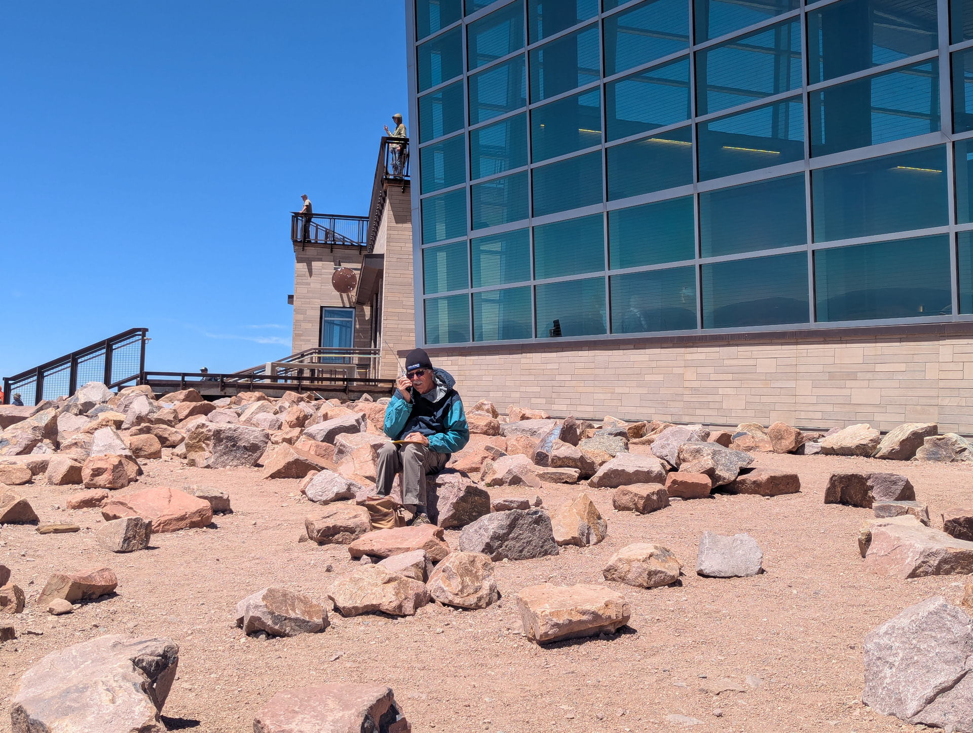
I must report feeling a bit sheepish having been awarded 10 pts for activating Pike’s Peak in summer. That’s about 9 too many. Yes, I was on a 14er, yes, I sat on a rock a few hundred meters from my vehicle with my HT and Currahee. Yes, I did make six FM contacts with the HT. And yes it was a bit windy, But I found protection from the wind on the lee side of the quite impressive summit Visitor’s Center.
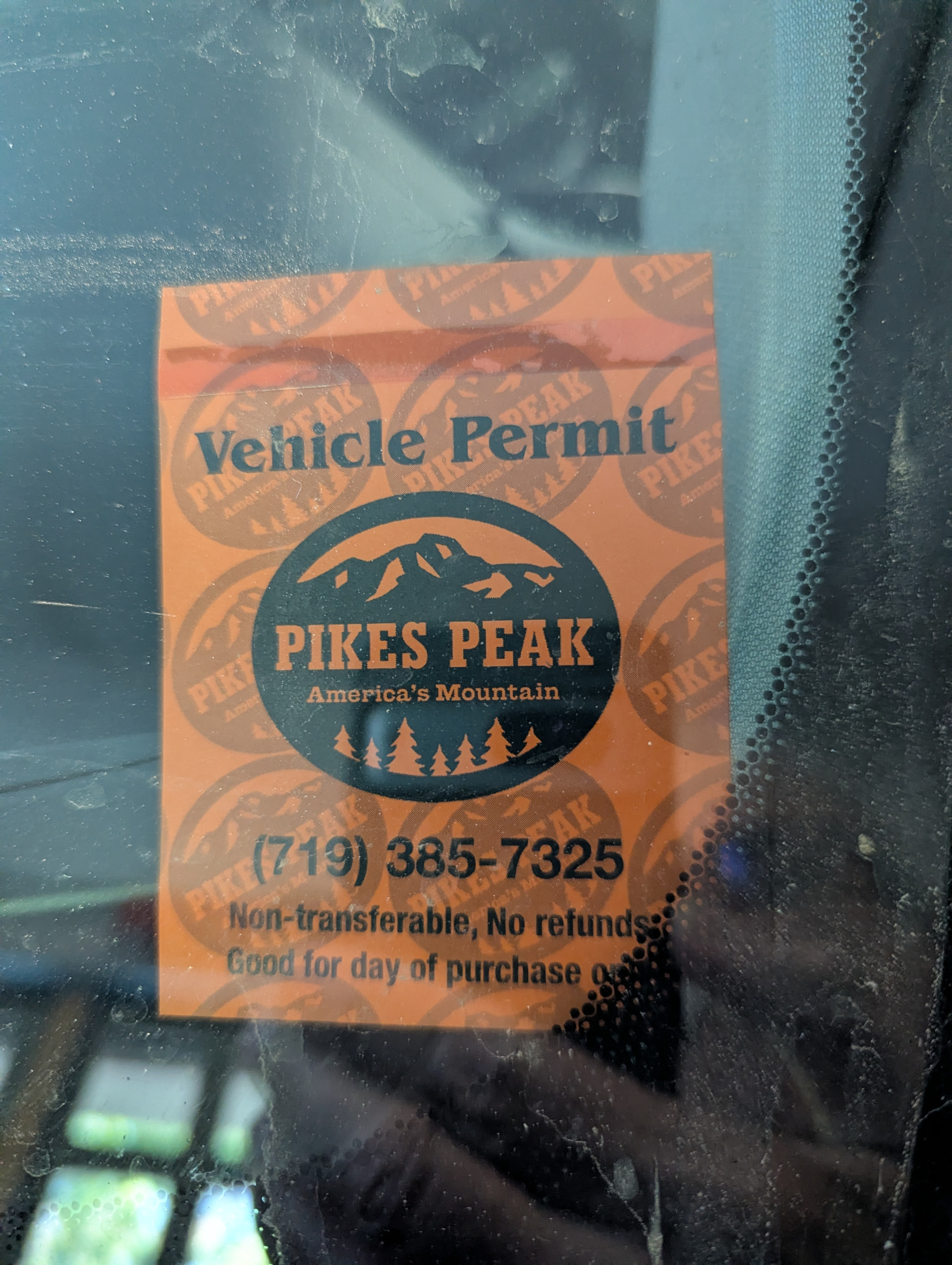
To drive up the summit road you need to pay $2 for a vehicle pass and $18 for a timed entry appointment. These will each generate nice QR codes, but the people at the toll booth don’t have a scanner, so just print the pages and hand them over when you get there.
I did learn a few lessons, and it was a good day in the mountains.
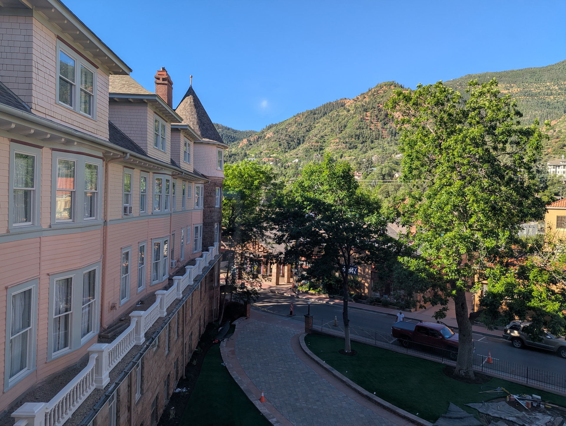
We started out in the morning at Camp 1 at 6412 feet in Manitou Springs. Here’s the view from the tent flap, er I mean hotel window.
Camp 2 was approximately 183 meters south east of Camp 1, at 6394 ft.
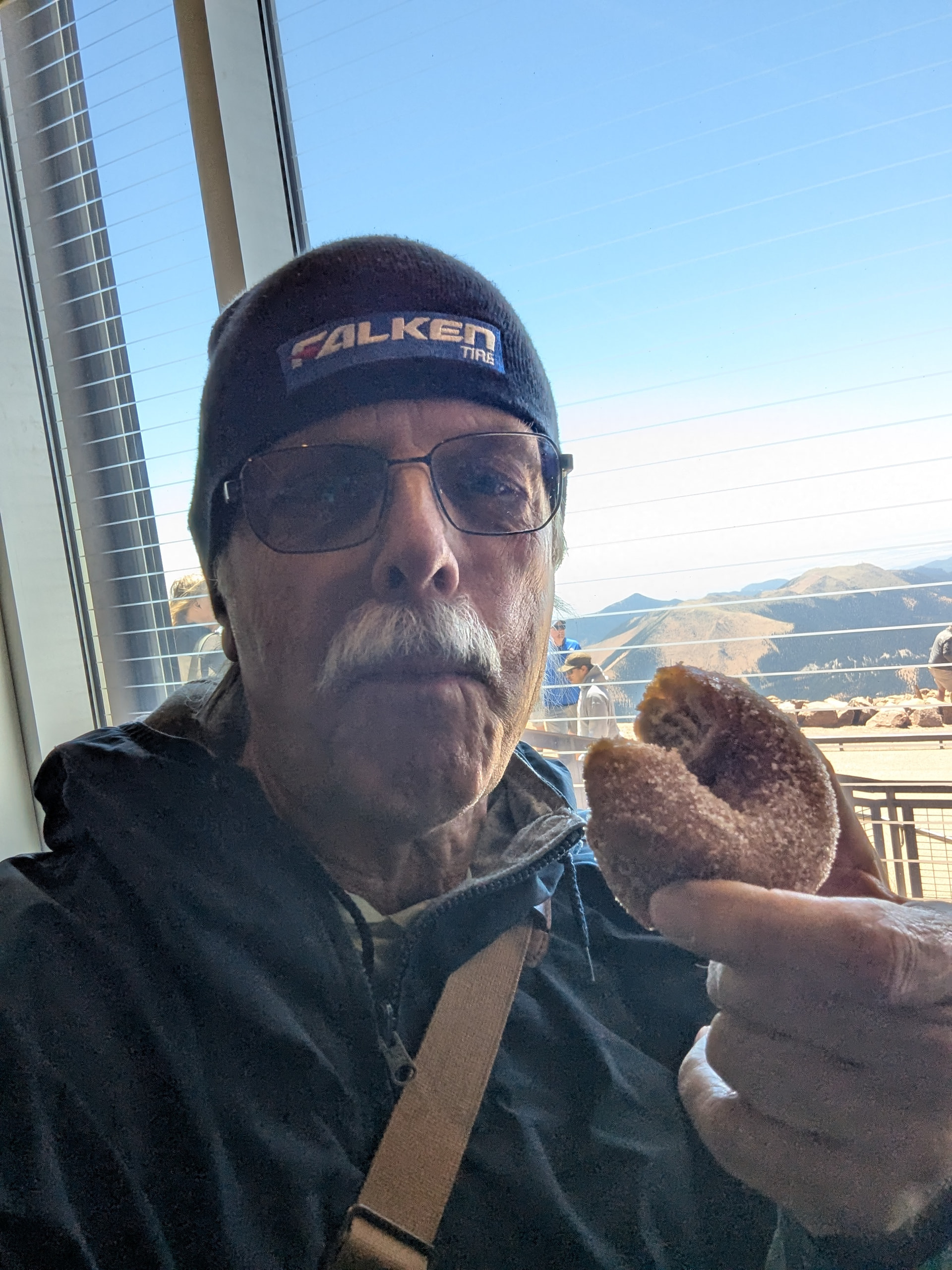
Here I am at Camp 3 - 14,054 ft, the summit Visitor’s Center, enjoying one of their famous (but I don’t know why) high altitude donuts.
Now down to business!
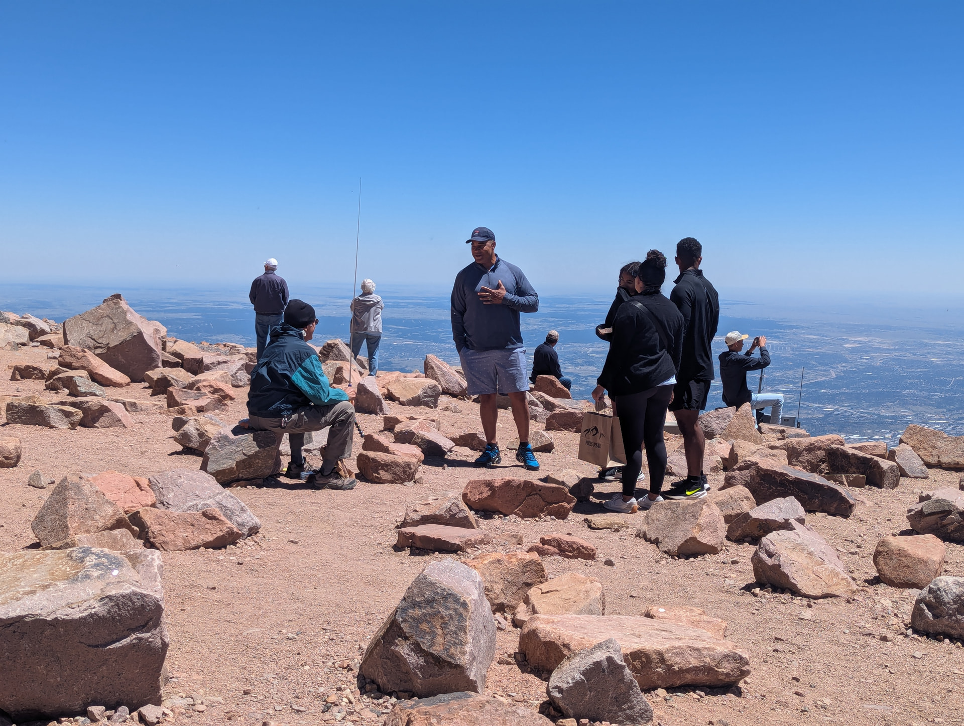
I picked a spot out of the wind, with a view of Colorado Springs. I Thought I would go for the FM contacts first to be sure I got at least 4. Note the family to my right. They stopped me in my tracks. They are singing our National Anthem in very nice four-part harmony.

Here you can see I have the “Just OK” 20m antenna set up for CW with my MTR3B V4 Currahee Mountain Topper while I’m having a conversation with that singing family. They were great people. The son (far right) is going into college in the fall in a Marine ROTC program. Dad’s very proud.
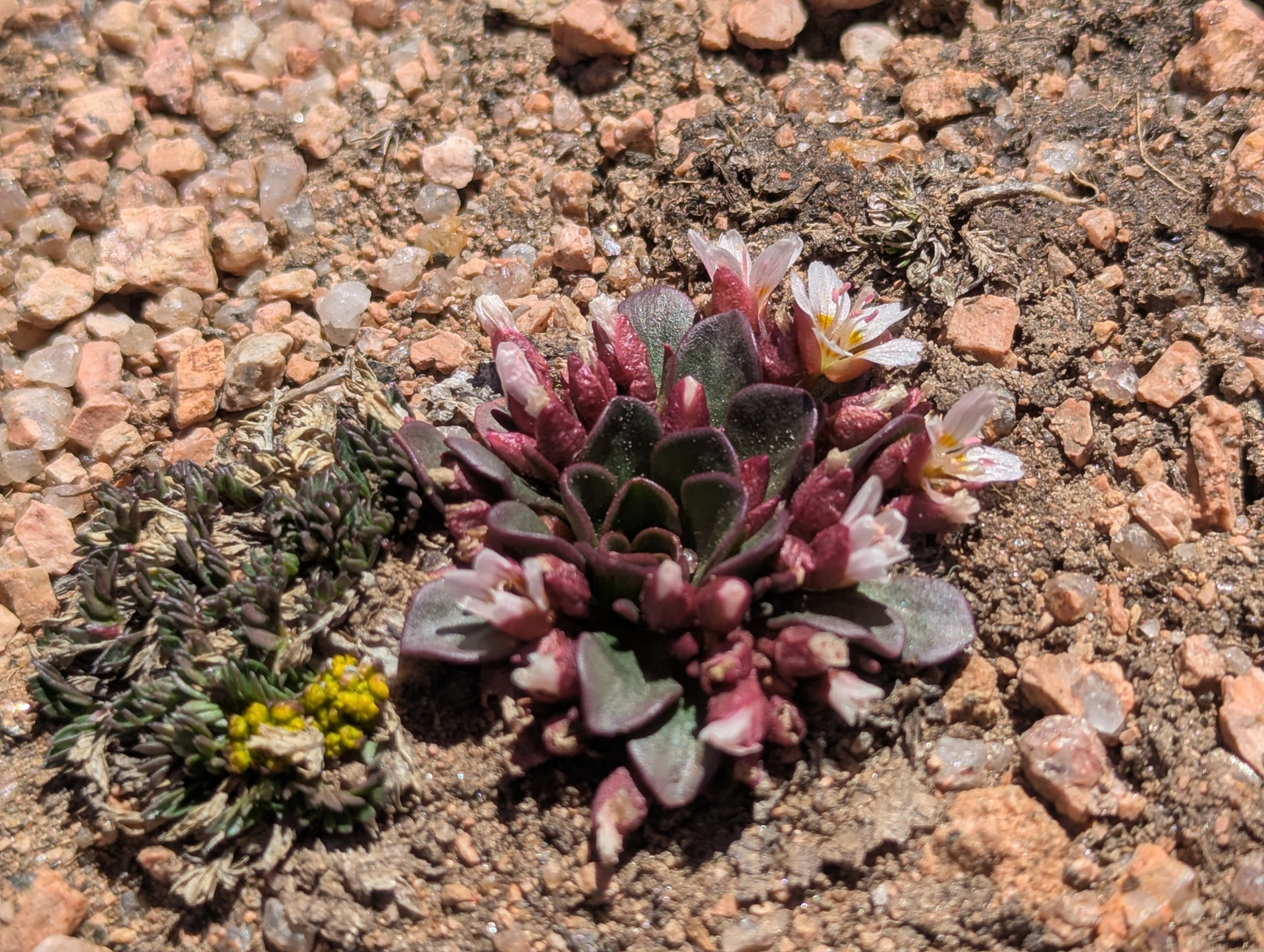
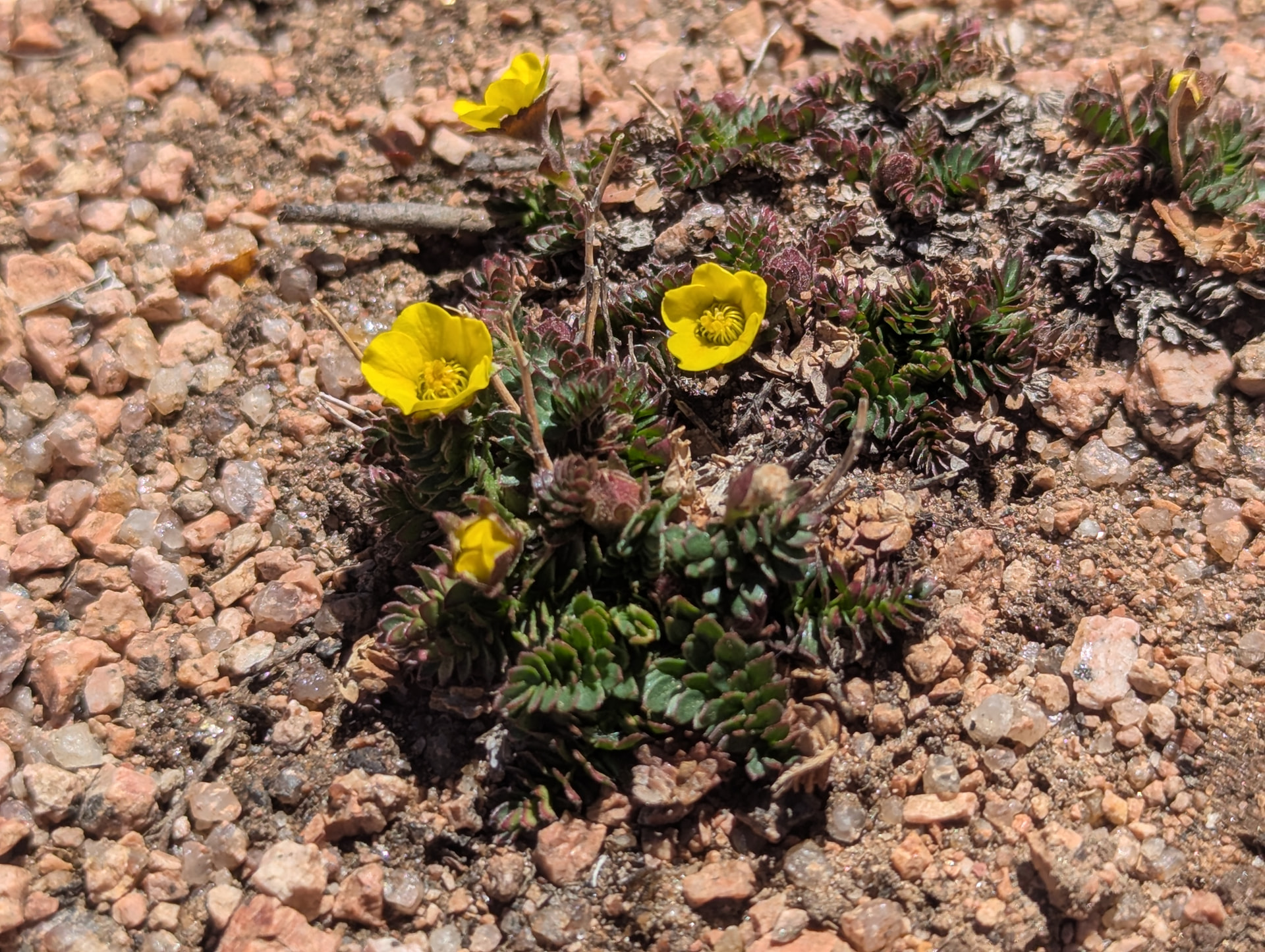
One of my FM contacts said we should start down the hiker’s trail just to see the wildflowers. Ruth had a look while I was operating but did not find anything.
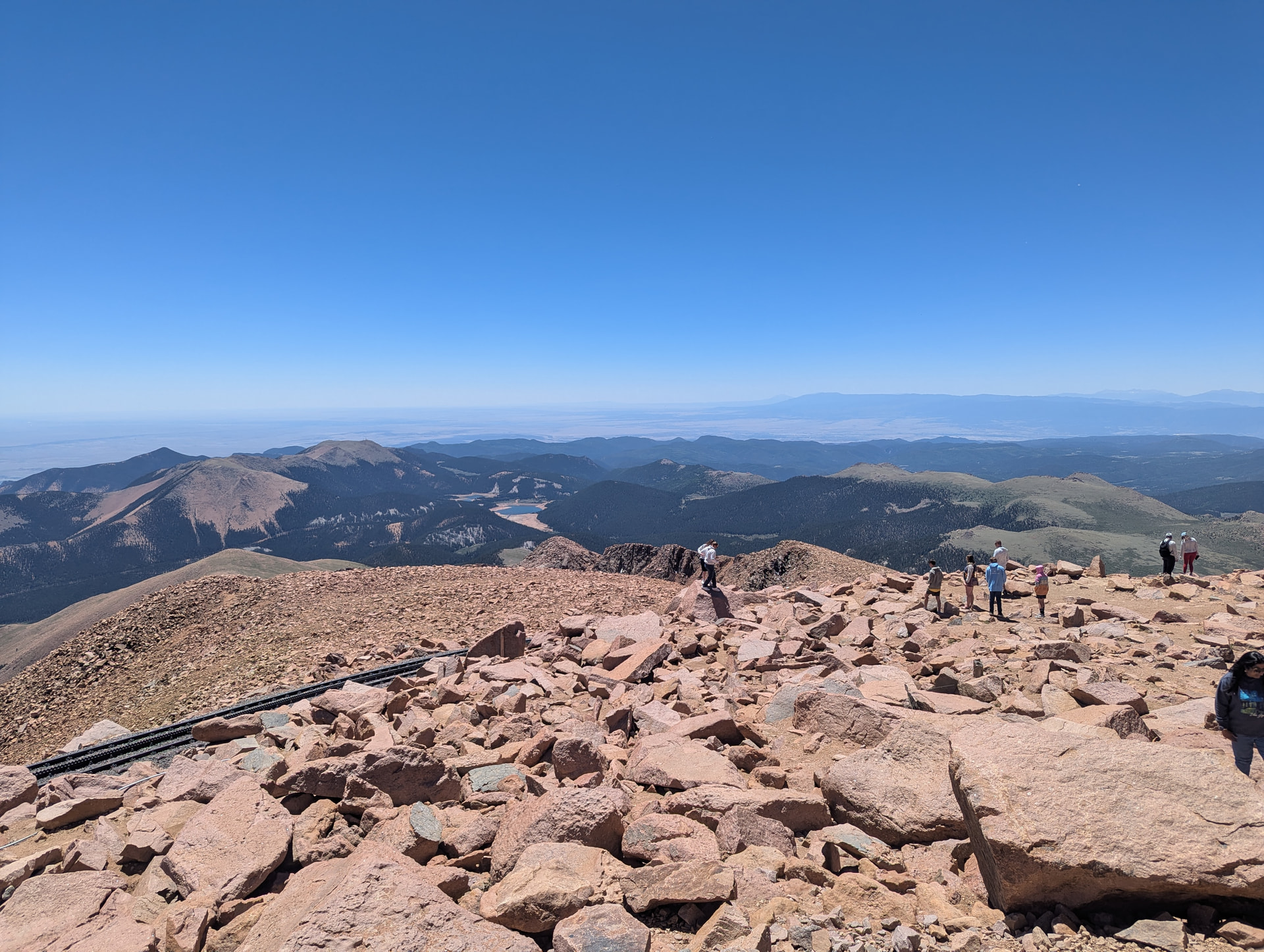
I didn’t make any contacts with HF 20m so back to 2m FM.
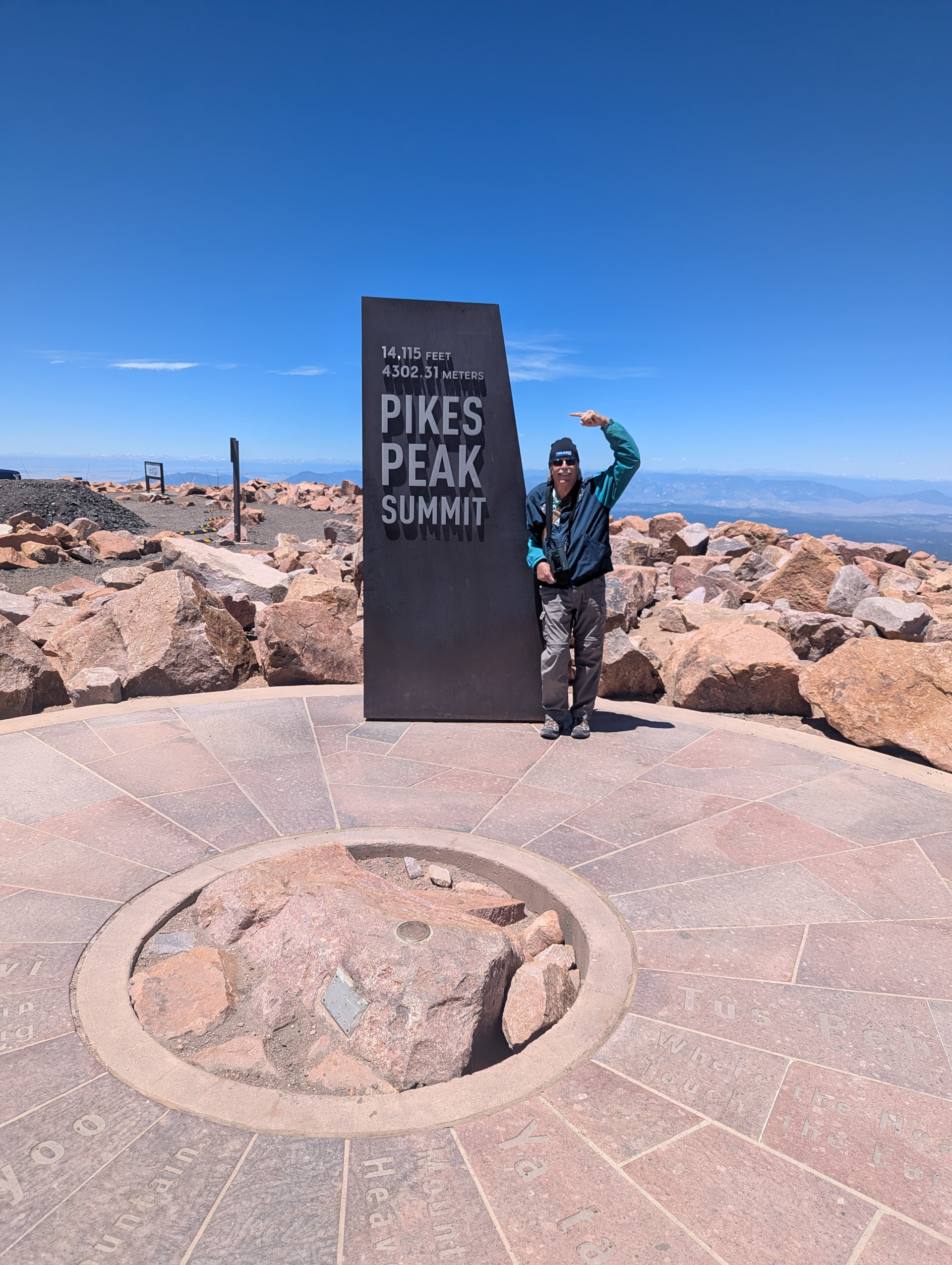
Below is my tourist photo op.
Ruth and I started driving down and stopped at a turn-out that had the hiker’s trail next to it. Lots of wildflowers. I would have taken better shots but I was staying on the trail and the flowers were 6 to 10 ft away. Still pretty, just excuse the boring angle.
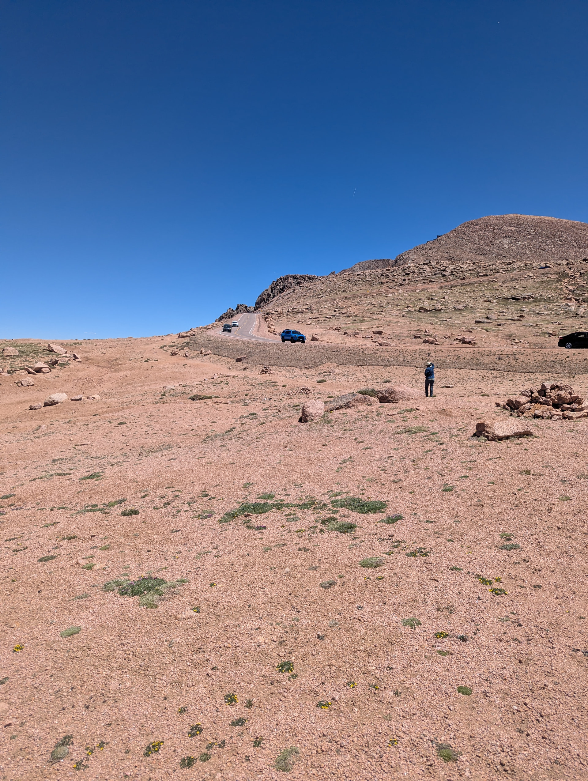
Here’s a look at the alpine terrain. Ruth is next to one of the bigger cairns marking the trail.
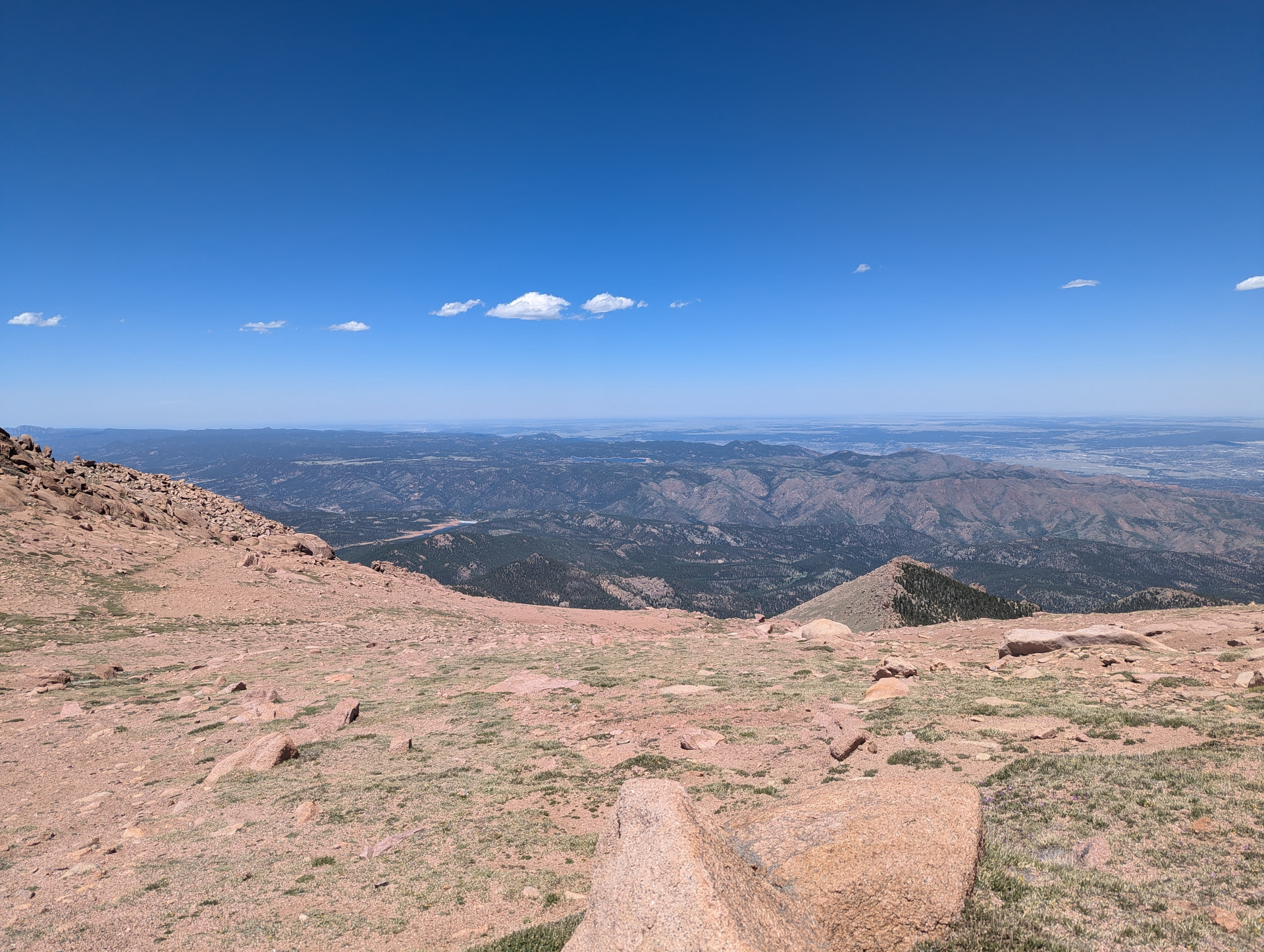
Taking a long view. This is so much more pleasant than sitting among the tourists. For Ruth and I anyway, even (or especially?) if there are no donuts.
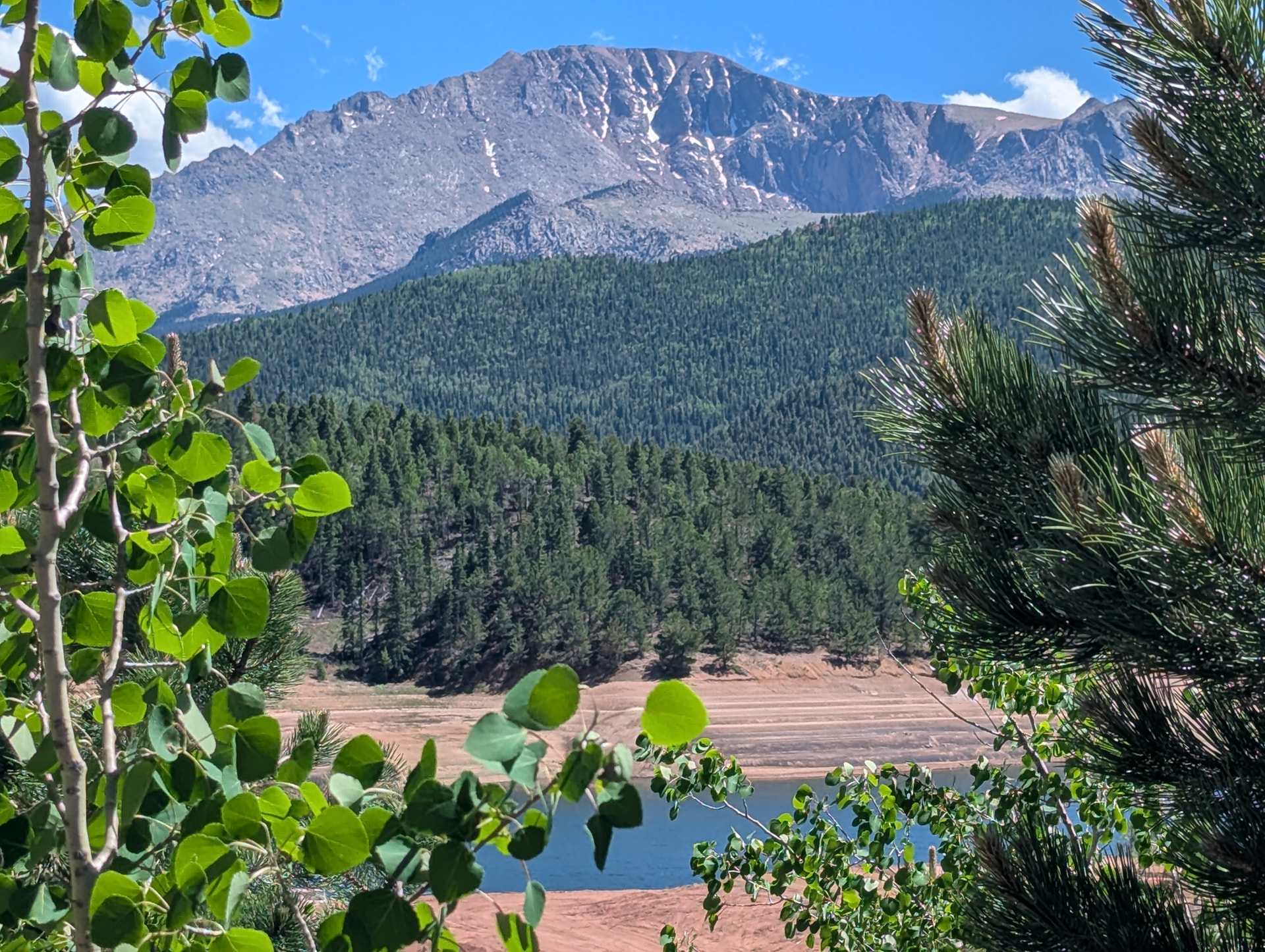
Half way down or so, we are standing on the trail by the shop by the dam. That is what Pike’s Peak looks like. Just to the left of the center of the peak you can see some deck structure poking over the edge.
Then we headed home via I-25. We stopped at a Chipotle in Castle Rock to put something in our bellies. It’s real handy to the highway.
In summary, it was a fun day, and nice to get10 points. It was an easy way to learn the effects of being on top of a 14er. Ruth felt a little light-headed, but I didn’t notice any effects. Probably from playing tennis at 5265 ft / 1604.772 meters.
Thanks for reading,
W4MUS (CJ on CW)