Whilst hiking in Spain I had the opportunity to do a First Activation of Souto, EA1/LE-278.
As there’s usually a reason summits are unactivated, I asked Ignacio, EA2BD, for any information he might have on the summit. He dug up some info from friends of his and graciously provided me with info, photos, and a gpx of a possible route.
I made it to the summit a few days later and here’s what I found:
Souto is an easily accessed summit sitting above La Portela de Valcarce. There is a truck stop petrol station off hiway A-6 and the small village with a café and access road leading to the summit. The Camino de Santiago passes through here, so you will see many pilgrims at the café.
The road to the village of Sotogayoso, you pass through here on the way up, is paved and easily walked or driven. This village is very small and you will likely find no place to park. Find a wide spot to pull off the road, or keep going through the village. From La Portela de Valcarce it is 5.4 km to the top with 404 m elevation climb.
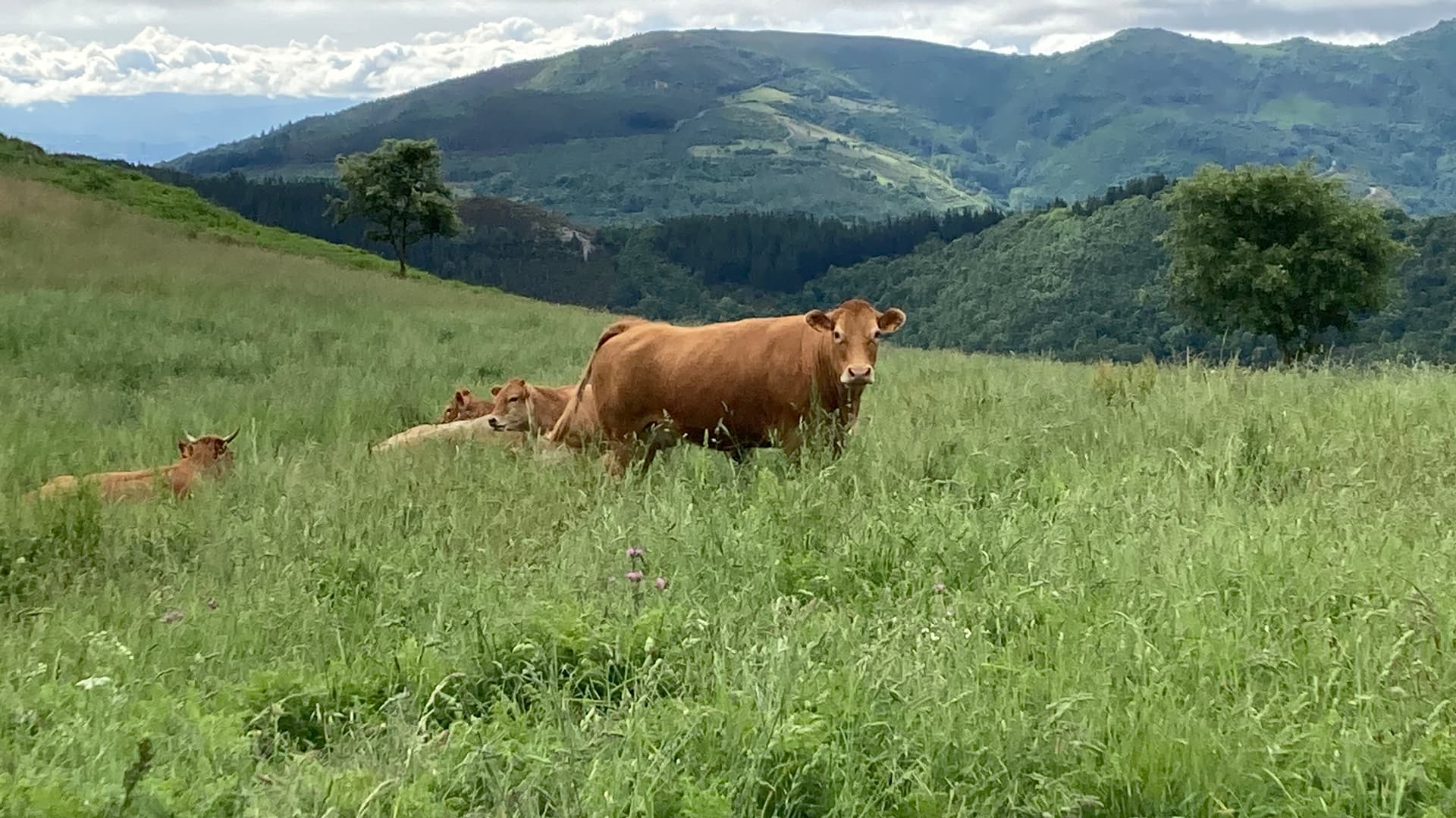
Once through Sotogayoso, the road becomes dirt and gravel. It is narrow and easily driven, but mud and ruts in the road will cause you to need some ground clearance and a vehicle with good traction. This road really only leads to some pastures with cows and bees, so you will not encounter any traffic. If you have the clearance and traction needed, you can take this road all the way to the summit, or park at the last hill and walk to the top.
The activation zone is quite large, and at first glance you would think it includes the smaller summit, Pico do Souto. But the elevation change between the summits is about 26m, so it is not included in the AZ. There is room for a few Soteros to operate without interference.
The road continues through the middle of the AZ and is bordered by trees on both sides. The trees could be used to elevate wire antennae, but they are short (about 3m) and in some underbrush. It would be better advised to bring a mast, or use a vertical antenna.
From here, I was able to make QRP contacts on the 20 meter band throughout EU, Britain, Sweden, of course locally in Spain.
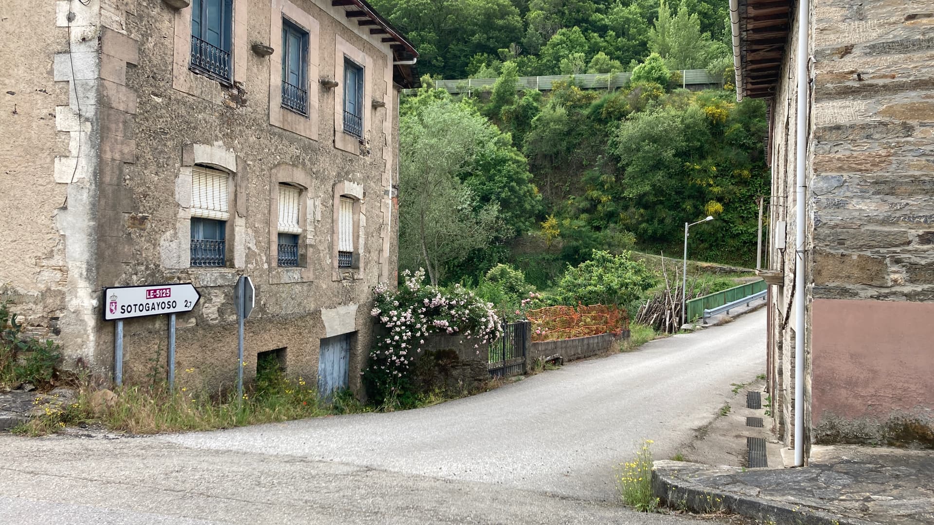
The road to the summit from the town of La Portela de Valcarce through Sotogayoso
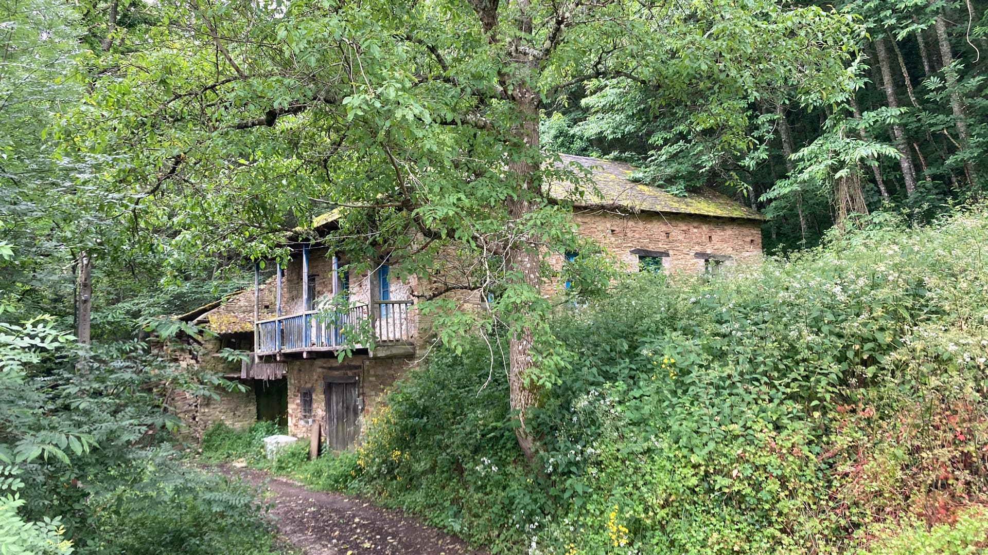
Here, the village ends and the road is dirt to the summit
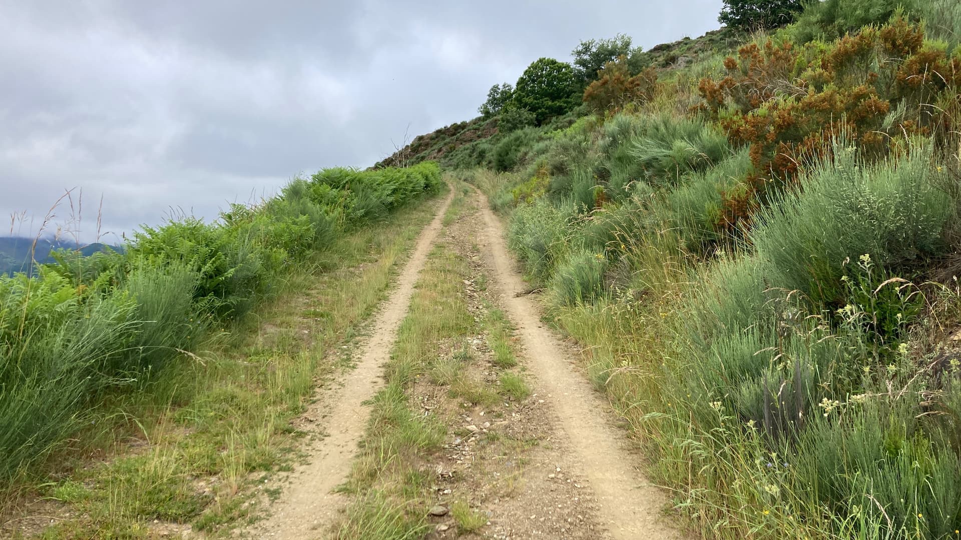
The road leading from the village to the summit

The last section of road leading uphill to the summit. You can park here and walk up easily.
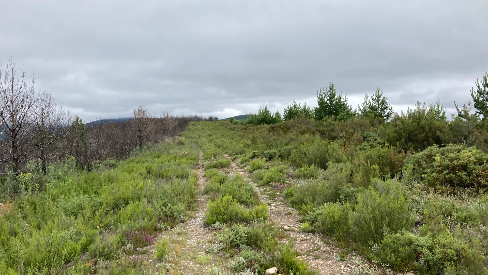
The activation zone with the road leading through it. Here you can see the trees bordering the AZ.
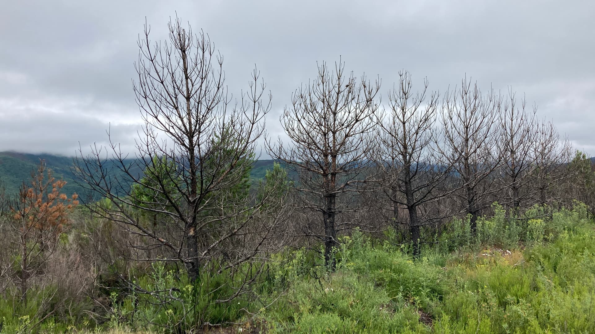
The 3m tall trees on either side of the AZ. Some are live, some are less than alive.
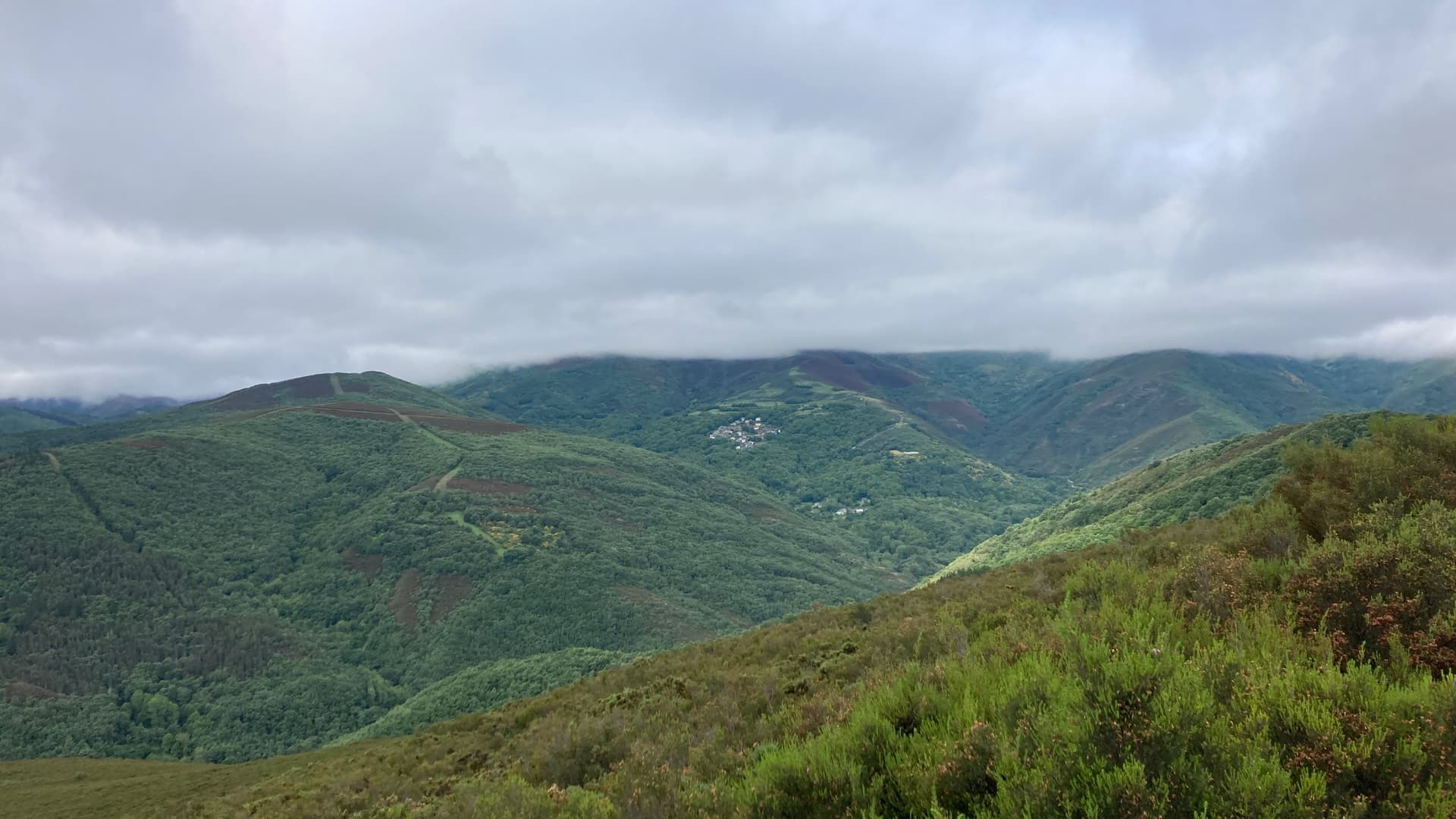
A view of the Souto residents and the Dragonte area and from the summit.
Hope the info here will be helpful and encourage future activations of this scenic summit.
Jim
(EA)N0IPA