Springdale Mountain, W7N/NS-204, sits approximately 15 miles north of the desert town of Beatty, NV off US 95. I’ve been having ongoing knee problems that prevent me from doing much walking, and since Springdale has a reasonably good road all the way to the summit I decided it was a natural for a quick SOTA activation as I drove through the area on June 29. The fact that the peak had not yet been activated added additional incentive.
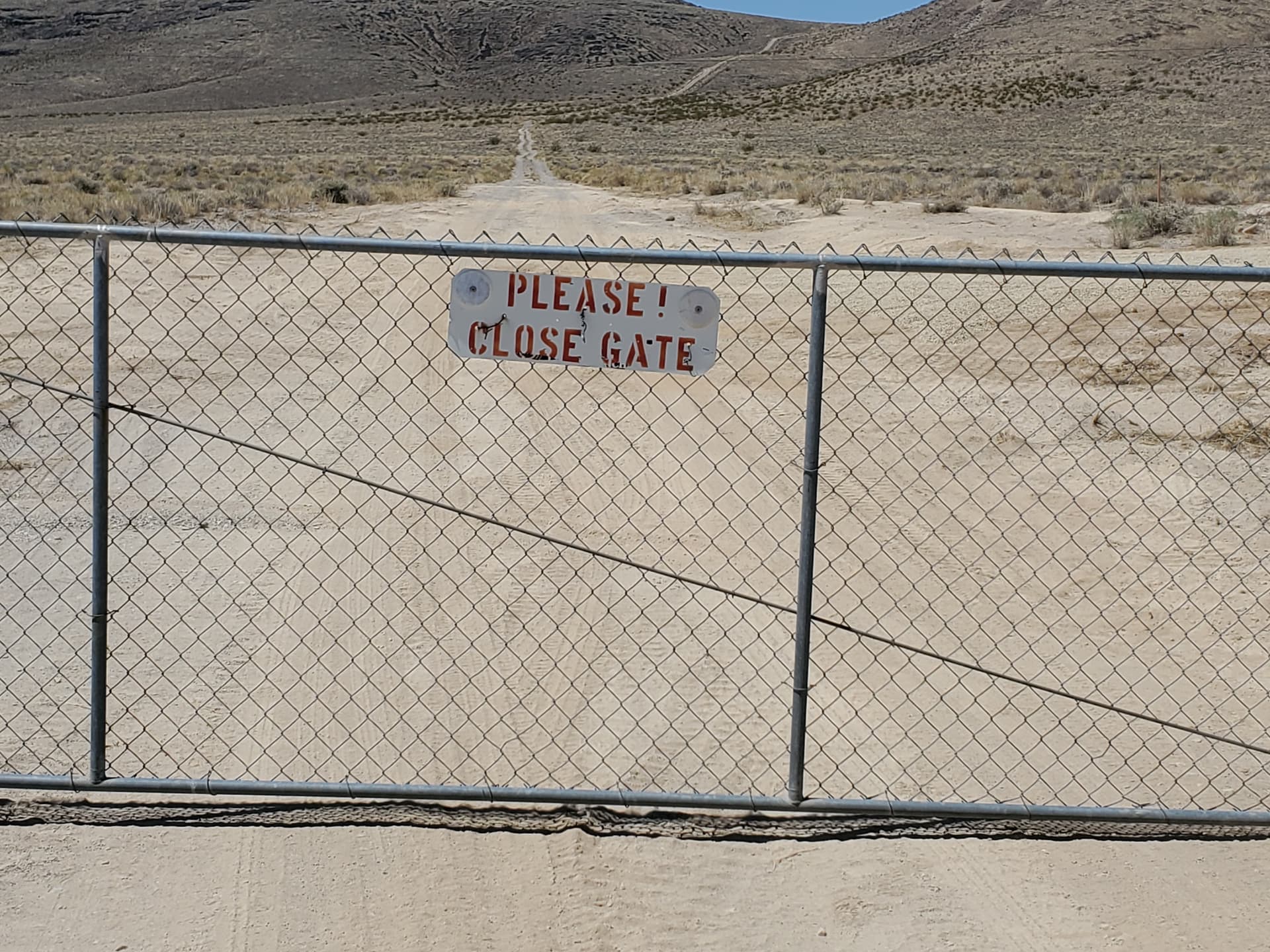
Access to the summit road from US 95 is via an unlocked gate with a sign reminding travelers to keep it closed after passing through.
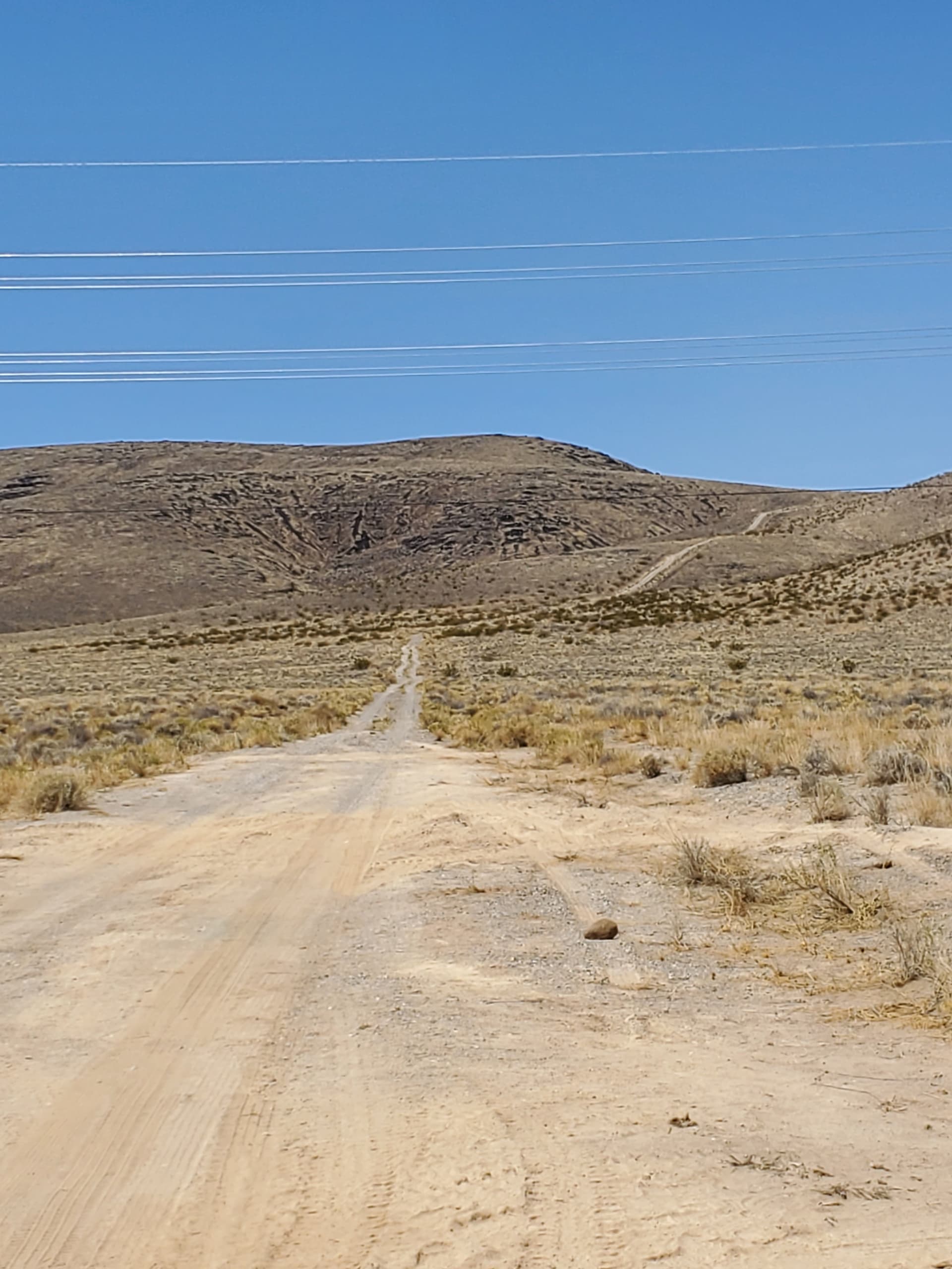
The dirt and gravel access road is in mostly good condition. There were some pretty gnarly holes and washouts in a couple of sections, but I found it to be passable in a high-clearance 2WD truck (although one area made me a little nervous and would definitely have been easier with 4WD).
The first section of road is smooth and sandy, turning to a mixture of tight-packed gravel and two-track farther along.
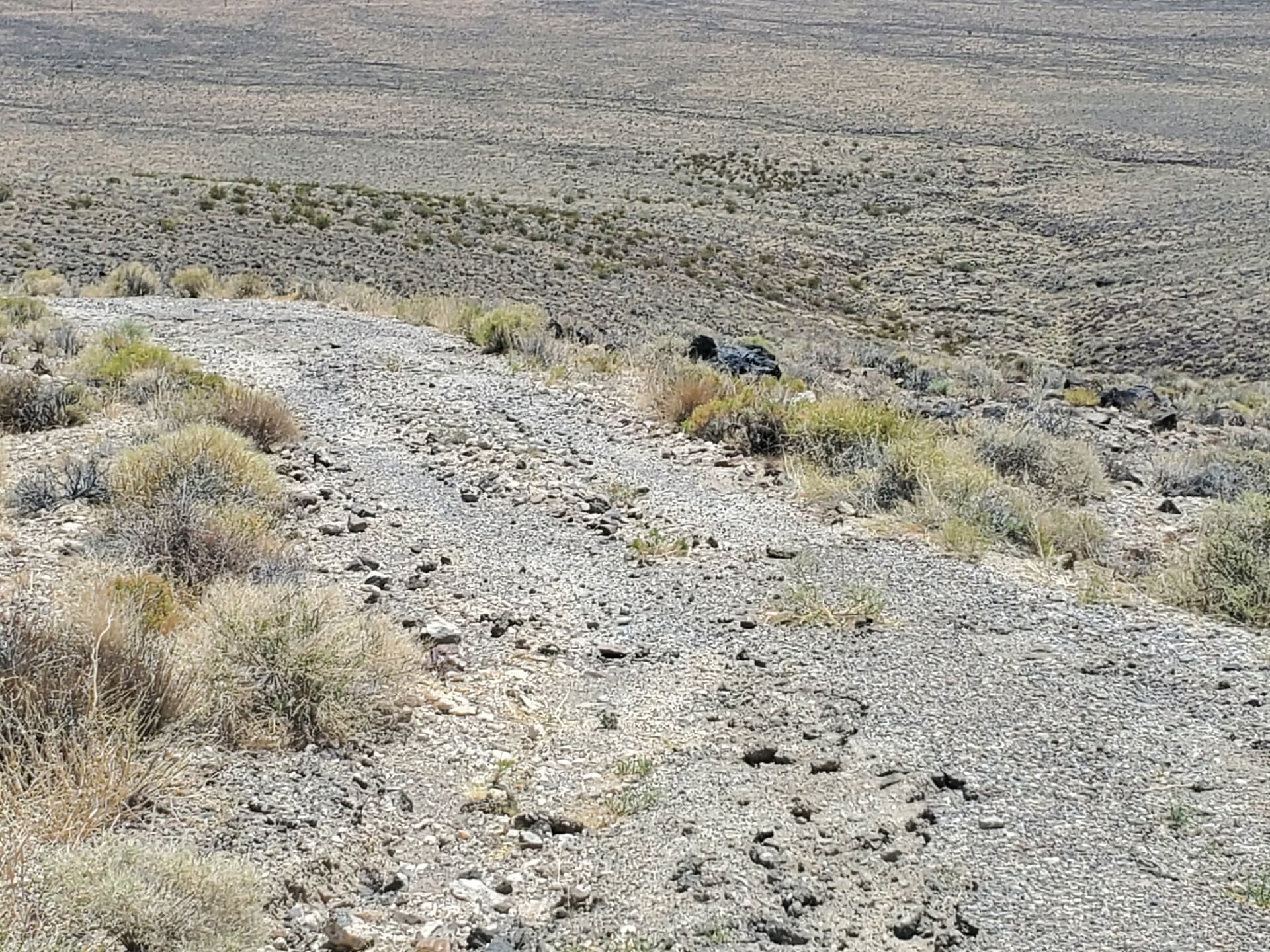
Some sections of road have deteriorated or washed out and are littered with rocks of various sizes. Good tires are a must.
Once at the broad, flat summit I found four small concrete foundation pads and what appeared to be a weather station enclosed behind a chain link fence. The peak gave good views of the surrounding desert.
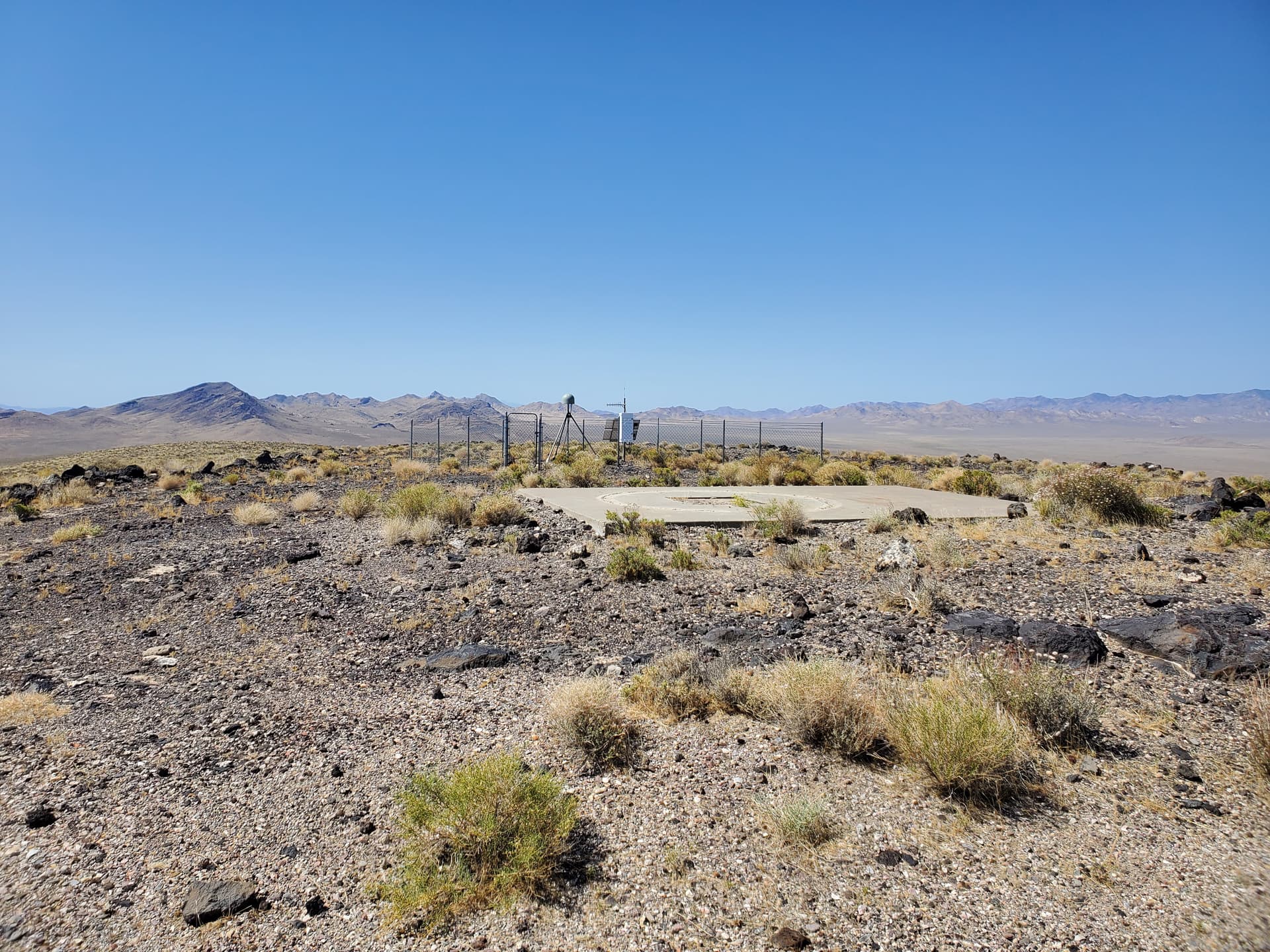

I set up my station on one of the concrete pads and was able to make five 20m SSB contacts within about 30 minutes in spite of marginal band conditions. Huge thanks to chasers Robert N4RGJ, Curtis K7LOM, Richard VE7RWZ, George KO6HNZ and Tyler N1QQ. Tyler was operating aeronautical mobile high over Kansas and gave me my first /AM contact! A very satisfying activation indeed.
Intrigued by the concrete foundations on top of Springdale I did some research and found that during the 1950’s and 1960’s the mountain was home to a NASA tracking radar, one of seven “High Range” radar facilities in Nevada (the so-called “Seven Sisters”) that supported experimental flights of the X-15, XB-70, lunar lander prototypes, and lifting bodies. The USAF and CIA also used the Springdale Mountain facility to track flights of the A-12, YF-12 and SR-71. The buildings all appear to have been demolished by the early 2000’s after suffering extensive vandalism.
For those who are interested (i.e. history geeks like me) a good synopsis of the site’s history can be found here.