We arrived in Faroe the day before my wife Lauren’s concert at the ISCM World New Music Days. The day of the gig—of course—the sky was clear and the breeze was still.
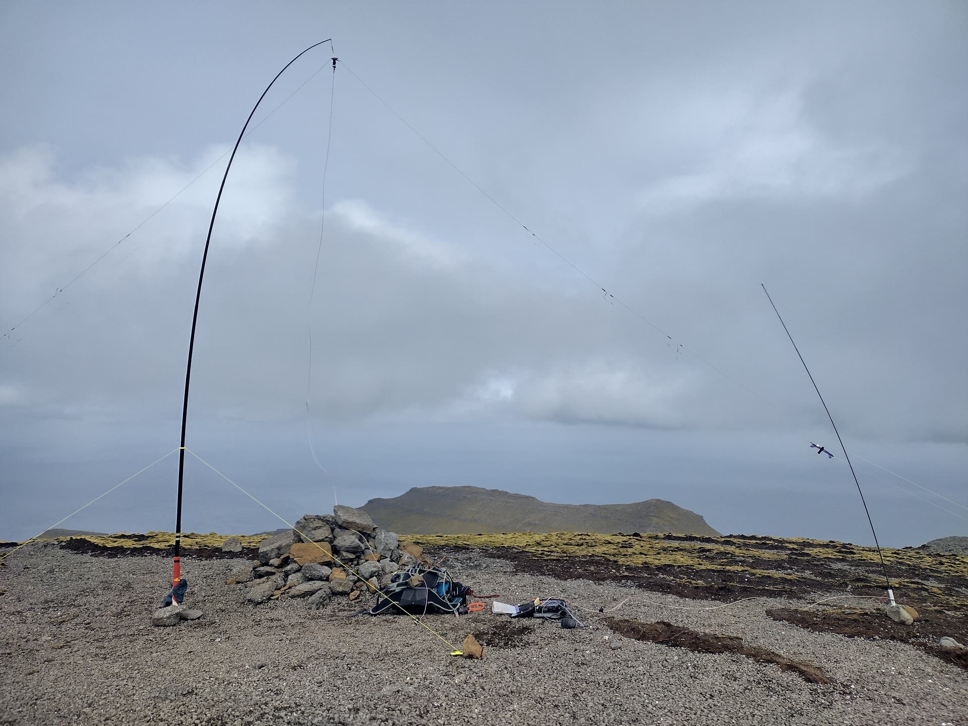
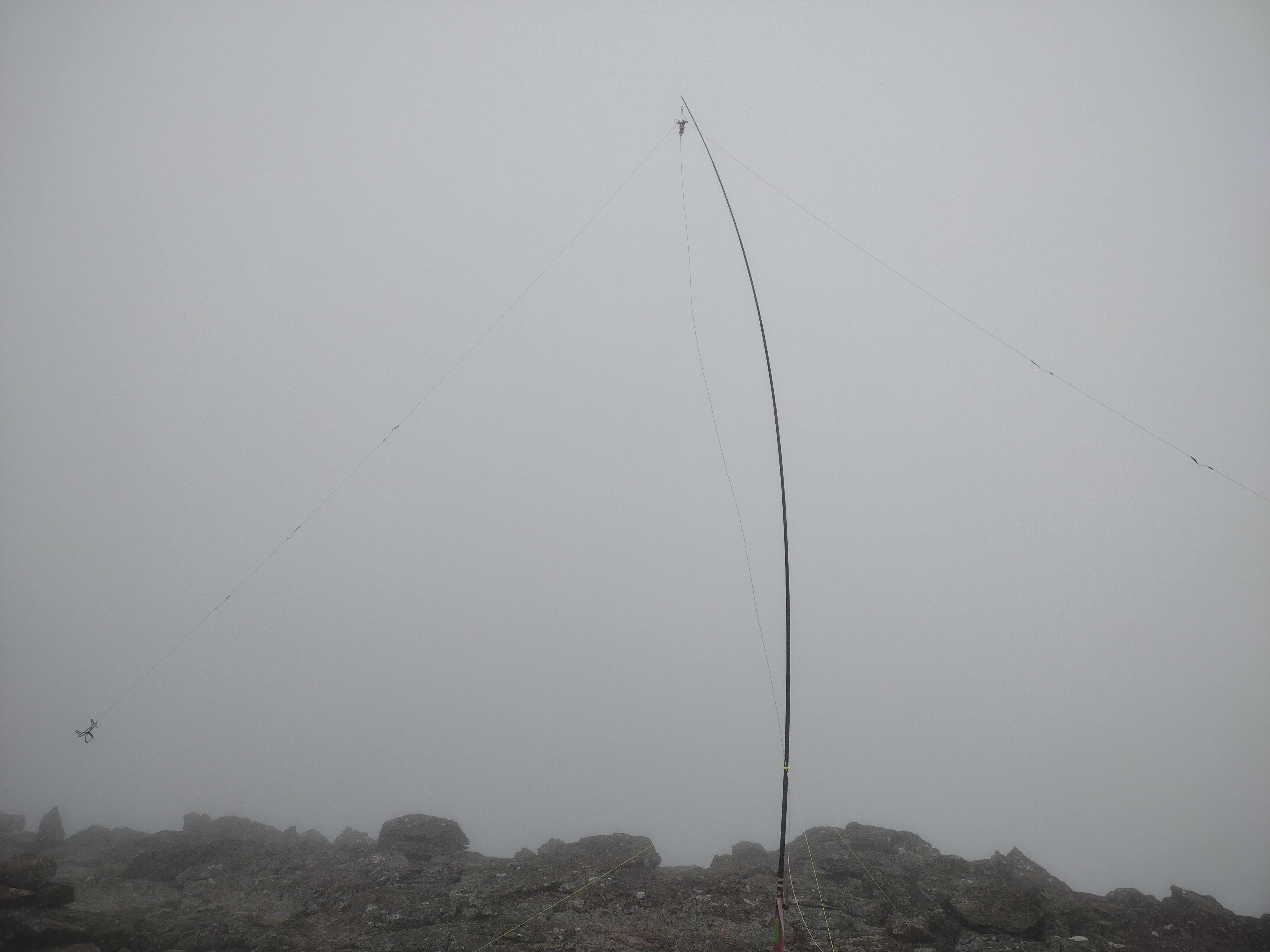
In the months preceding our trip, I had posted on the SOTA Reflector asking the community for advice on antennas with gain for 10m, thinking I would try and reach my home association W7A from OY. I built an experimental single-mast wire quad, but during practical test excursions in Scotland, concluded that setting up in adverse (windy) conditions was going to be more of a benefit than potential gain. With that in mind, I bought a military surplus Clansman PRC-320 Manpack antenna, a segmented tent-pole type which is 2.5m tall. I made a ground spike base with a feed point and four 2.5m radials. The complete antenna weighs 350g (build details will follow on my blog tobiasfeltus.com). I also packed my linked dipole for 10/15/17/20m (built for this trip) with my generic fibreglass ~5m mast, and my OCFD as a less resonant emergency antenna, which also can reach 40m.
Other preparations I had made involved looking for summits I could find a hike report or GPX associated with. This is not easy as Faroe seems to be a hillwalking mecca as well as having very few official trails, and many hills are on private land: permission should be sought before setting out. Alltrails “community content” and Wikiloc are helpful. Gráfelli–the second highest peak on the islands, located on the island of Eysturoy–is one of the summits which I planned on activating: an unactivated 10 pointer. I had found that the Garmin Topographic map for Europe was insufficient for hiking in Scotland, so I spent some time figuring out how to install OSM Topo maps with SRTM contours on the eTrex units, offering much better detail. I did this for Faroe in advance…and more on this later. In preparation for Gráfelli I found that the topographic details on Guru Maps (OSM) showed the summit marker quite far off the highest topo line. I looked at Google’s “satellite” view, which I found confusing. I looked for photographs of the summit, and also consulted the Fatmap 3d view. I am not very good at reading maps, and I found that the sources were conflicting enough that I did not know what to expect, but my conclusion was that the summit was reachable, probably large and flat with some large rock outcrops just below the summit. In my interpretation I was expecting a children’s book crown.
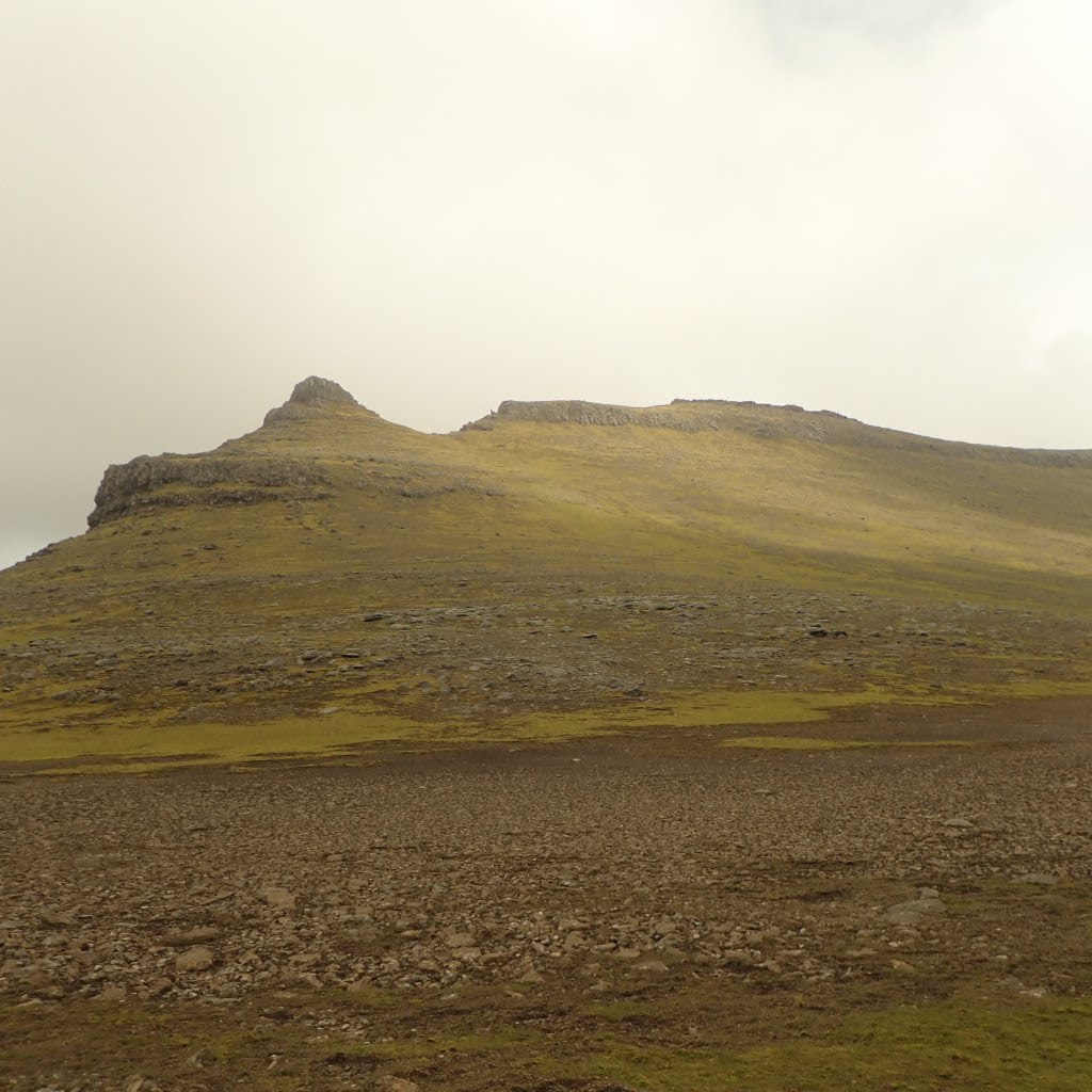
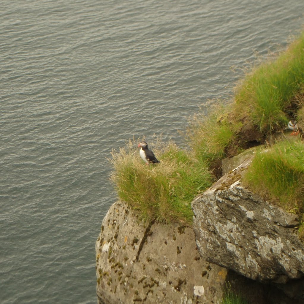
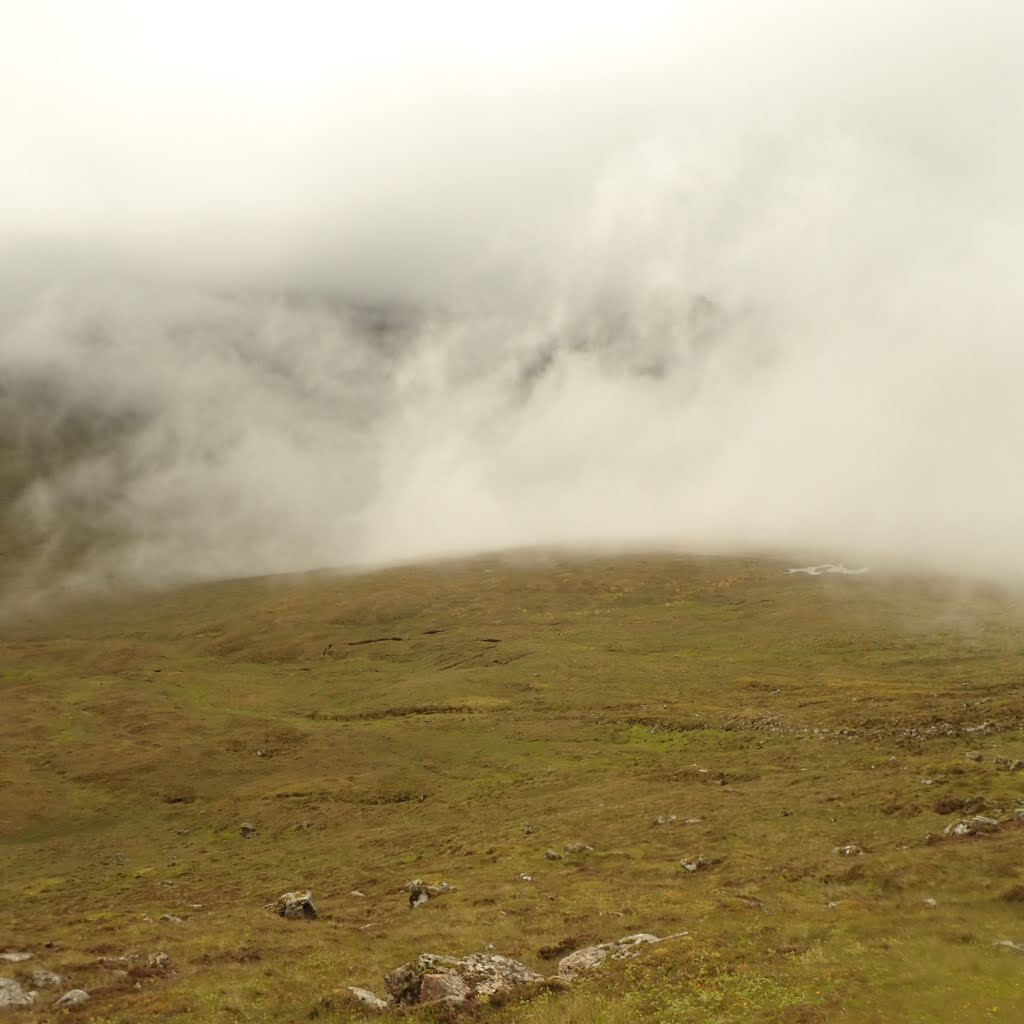
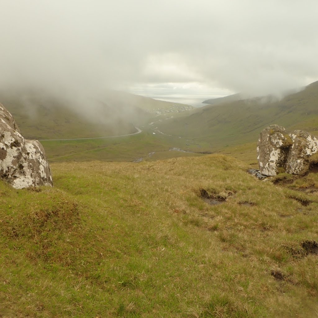
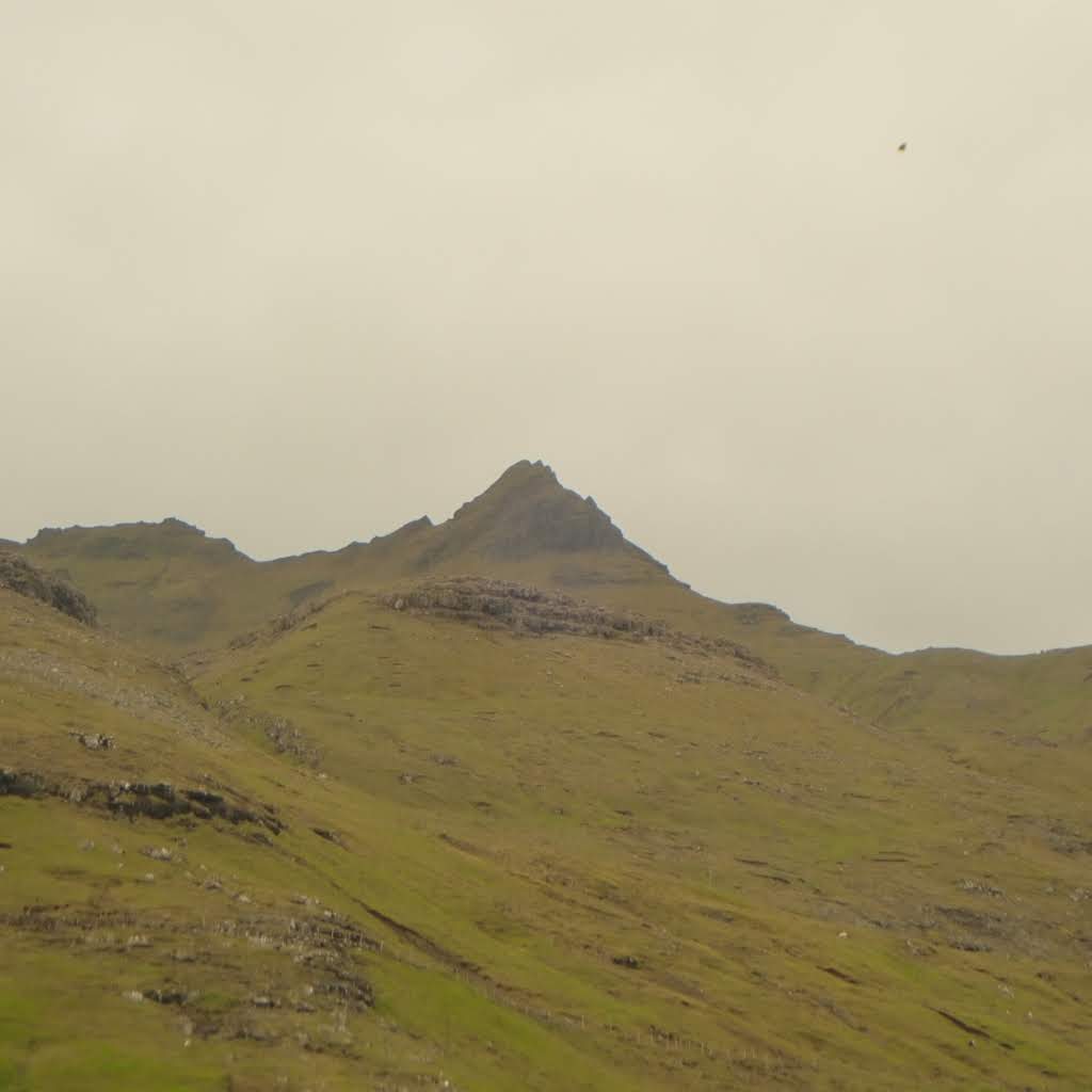
We set out for Gráfelli OY/OY-002 on an overcast but mostly clear morning. We parked in a small area not far from a tourist viewpoint of an incredible sea stack, complete with Geocache. The ground is mostly bog: a mixture of moss, grasses and their historical decomposed matter. It is hard to gauge which patches are firm and which will swallow your boots. As you move to steeper ground the VertiBog(™) mixes more regularly with InvisiRiver(™), a delightful treat that sounds like a river, but often is completely concealed by grass and dirt, occasionally tripping you up with a knee-deep plunge. My directions for this climb are to pick a line towards the waterfall. Once over the waterfall, pick your way towards the end of the valley between Gráfelli and Slættaratindur OY/OY-001. At the end of the valley there is a small climb to another more martian valley with electric moss and sculpture-like rounded rocks. To the north-west is a small rocky column, east of that is the summit which—from this vantage—looks like a long ledge. Heading towards the summit bearing, I chose what looked like an area I could climb. Above this was a smooth landscape of volcanic gravel and the actual summit, a smooth mound with a couple of cairns. The summit was nothing like what I expected. There were no rocky crenulations, no cliffs. Slættaratindur looks ominous to the south. This was my first view of Faroe from high up, with its steep cliffs and smooth green valleys. I assembled my station with the vertical and my FT-817ND, spotting myself using SotaActivator (there is generally very good cellular service across the Faroe) on 28.380 and managed one single 10m contact with a Greek station. After half an hour of calling I put up the dipole and completed the activation on 15m, my furthest distance contact being with North Carolina (USA). The sun had different intentions, and my hopes of epic DX fell short. I am glad I did not put all of my eggs in one basket for 10m. One lesson learned. We had a concert to go to, brass improvisation in the cleft at Gjógv followed by puffin sightings, so we skipped Slættaratindur which should be reasonably easy to reach from the upper valley.
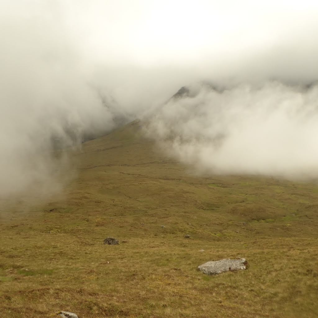

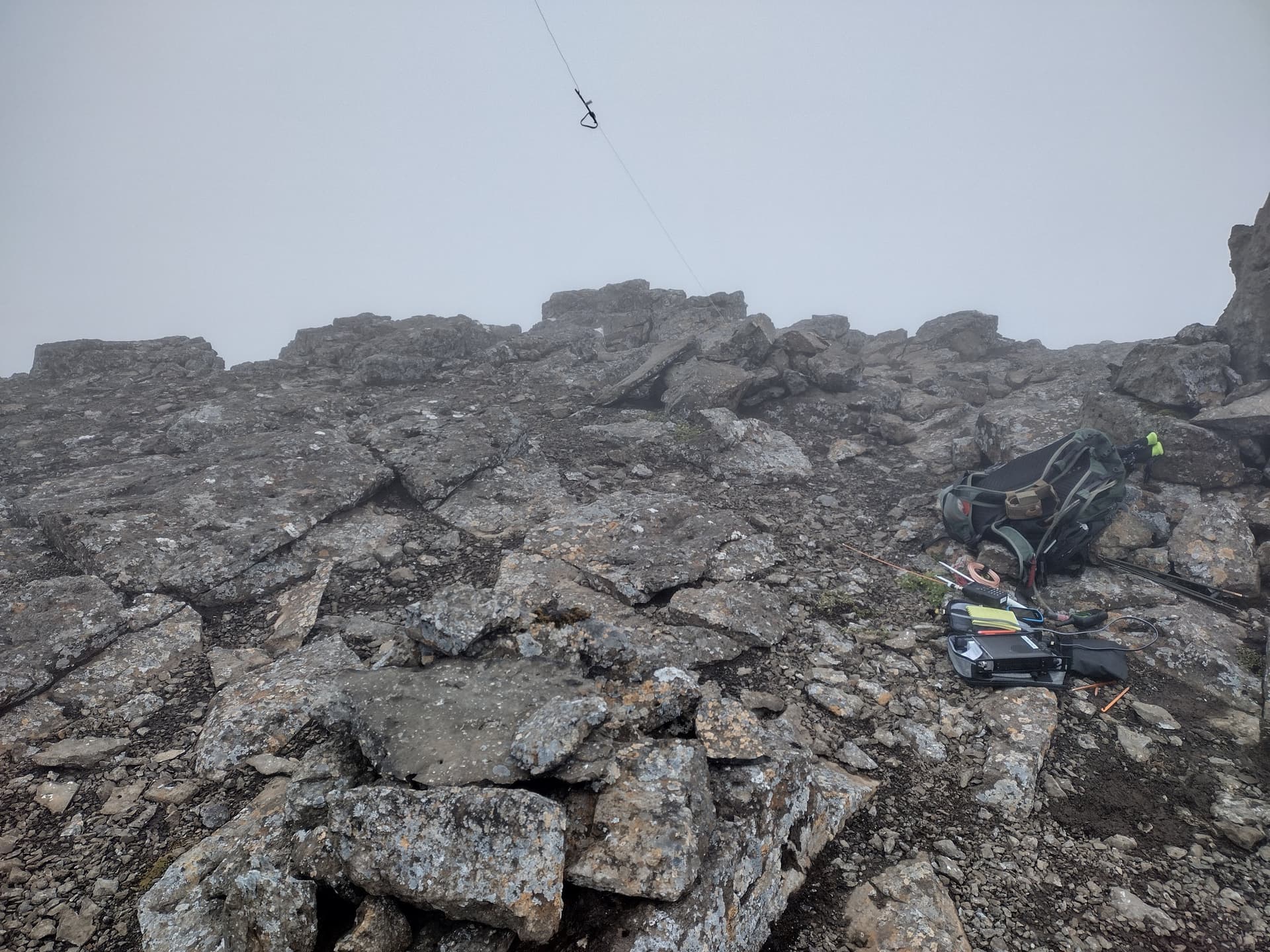
Two days later we headed out north-east to Malinsfjall OY/OY-020, an unactivated 8 point conical monolith. We found parking with Flintstones approved picnic benches about 600m north of the gate. The walk starts on a gravel farm road, from which you head north-west. The lower section of the climb has many ground-nesting seabirds: try not to disturb their nests, and they will try to scare you off even if you are nowhere near their nests. I recommend installing the Merlin Bird ID app, which enables ID by listening and doing FFT analysis, as well as visual identification of birds, most importantly, this can be done offline. The European Golden-Plover is a cute bird with a nice call; in contrast the Great Skua is quite aggressive, taking long attack flights directly towards us. The Skua looks like a juvenile seagull, and is a pirate scavenger. I believe that my orange Signalstick was just enough to keep them from actually pecking my head. I made quite big deviations on both the ascent and descent from the bearing I had intended to follow, just to steer clear of the Skua’s intimidations. I ended up following a good sheep trail that climbed gently to the west until reaching a gulley directly south of the summit. The final ascent was completely engulfed in cloud with around 15m visibility. We made our way up a mixture of sheep track, sand, gravel and boulders. Crossing a brief barrier of solid rock, the ground levels out in an alien gravel landscape, closely resembling a volcanic ash field. The summit is another solid rock outcrop with several cairns and plenty of space to set up my station. Once again I tried 10m, spotting myself with APRS2SOTA, and got one Slovenian contact: this time I was prompt in switching bands, and went straight for 20m which helped with a fast activation. It is worth noting that there seems to be decent APRS gateway coverage on the Faroe islands.
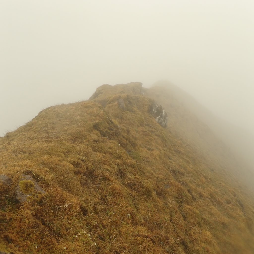
The following day we headed out towards Reynsatindur OY/OY-036, another unactivated 10 point summit. There are three parking areas in close vicinity to the gate. Clouds covered the summits and we headed into an absolutely stunning valley. A series of false summits appeared from the clouds even though we were really quite close to the summit: less than 100m. The GPX that we had found linked two peaks (the other is not a SOTA), but I thought it would be practical to bypass the first summit, and rather than joining the loop I would head straight for the summit which, according to the topography I had, looked like it should be similar to the previous two, with a reasonably sized flat area to set myself up. The climb kept getting steeper, even though it was still sheep-travelled grass, and very few metres from the summit a cliff emerged from the clouds. At this point the terrain I had been scrambling was too steep for me to want to descend, and it was quite uncomfortable to traverse. I found a gulley that looked possible, and scrambled up it, only to find that I was on a grass ridge and my visibility was down to 5m, so I had no idea if it was a sheer drop on either side of me. Up seemed the only possible direction, as it held the promise of secure flat ground and a safer way down. The last scramble brought me to a summit that was not big enough to lie on, with an immediate drop of over a metre on all sides, and not enough visibility to know what happened past that. I froze, my heart sank, and I glued myself to the ground. I spotted myself on 2m and started calling CQ, but no response. There was no place to set up an HF antenna, I was even too scared to take my backpack off. At 251 SOTA points I had accidentally taken myself far enough out of my comfort zone that I had to abandon the summit. The initial descent is a ridgeline with a very steep drop on either side. The ridge itself was 50cm wide at most, and I clung to it and scooted along like a toddler whilst trying to tell myself that everything was ok, when it was truthfully my only option. After about 10 minutes the path did widen enough that it might have been possible to set up my station, but I was shaken enough that I didn’t even want to check if I was still within the activation altitude. After about 15 minutes I made it to where Lauren had stopped, having been able to communicate part of the situation via wind-broken PMR radio.
Returning to the topical topic of topography, I had downloaded OpenTopo maps with SRTM topography from BBBike (extract.bbbike.org) for Scotland, which works well on our Garmin eTrex units and seems to have enough detail for our Scottish lumps of Munros. What I had not noticed was that there is no SRTM download for the Faroe islands, and that OpenTopo of the islands is just a flat shape with roads and rivers. I spent an afternoon in our hotel room trying to find a topographic map that I could install on the Garmins, to no avail. Once installed, you can preview all maps in Garmin BaseCamp, it is worth concentrating on one area and making comparisons. I found a reference to a paid map for Garmin, which I also lost track of. Now that I am home I found that OpenTopoMap Garmin Maps does have a basic download for Faroe, which reflects the level of detail I am able to see on Guru maps on my phone. Though better than nothing, this is the level of detail which got me in trouble on Reynsatindur, showing no ridge nor danger. The Topographic map of Faroe Islands - Topo GPS (topo-gps.com) looks like the best digital resource that I can find, though it is phone based, as it does have details of ridges. Using this in combination with OpenTopoMap on your Garmin handheld would probably suffice. Other official sources are the Faroese mapping entity kort.foroyakort.fo/kort/ and the Danish Agency for Data Supply Natur- og Friluftskort (dataforsyningen.dk)
The Faroe Islands are very unique, with incredibly violent landscapes which seem to be largely untouched by human interaction, despite the thousand years of documented human occupation. The wet and windy Subpolar Oceanic Climate averages between 12C and 5C, and by that I mean summer and winter temperatures. I trust that the SOTA community is respectful and follows a “leave no trace” ethic. My advice for anyone wishing to visit is to spend more time researching maps and navigation than I did. Try to find a paper map, noting that everything will get wet, even if it is not raining as the cloud/fog condenses beautifully on anything. APRS and cellular data are viable means of spotting throughout the country, but I did not hear any activity on 2m, and the amateur repeater is a cross-band, so I have no idea what its range is and I heard no activity on it. If you are there with someone else who is not a fully licensed HAM, take PMR radios, ideally waterproof ones. If you have to take a monoband antenna, I would choose 20m. Make sure your knees and ankles are strong, everything is very steep and quite uneven. Talk to the sheep. Listen to the silence.
I activated OY/OY-002 and OY/OY-020 as OY/KK7BCO. I reached the summit of OY/OY-036 but failed to activate it. Though I feel accomplished in having activated two new summits, the disappointment of having bailed on one will be a drive to improve my skills and possibly return in the future.