Trying to create a path in SOTA Mapping and continue to get an error message. Any ideas?
Would be helpful in planning a microwave activation.
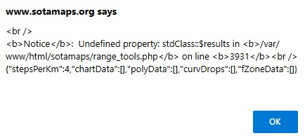
Trying to create a path in SOTA Mapping and continue to get an error message. Any ideas?
Would be helpful in planning a microwave activation.
Hi Joe,
Yeah, this is a known issue, which I brought up last week with Andy @VK3ARR . It’s basically a problem with the sotamaps elevations server dropping out for some reason, and which Andy doesn’t seem yet to have got sorted. He should pick up this message, and hopefully find some time to investigate and fix it.
Cheers, Rob
Hi Joe
Have a look at ‘Hey What’s that Path Profiler’
I use it for plotting RF paths for 23 and 13cm activations.
Regards
Andrew VK1AD
Hi guys,
I use KLM with SOTA points and view in Google Earth.
73
Carlos
PY2VM
Andrew is away at the moment, for the next several days. He won’t see your message until he returns.
OK, Josh, thanks for the heads-up.
Cheers, Rob
I tried restarting it and it didn’t, and I ran out of time to debug, I’ll take a better look tomorrow most likely.
Greatly appreciate that you are looking into this feature!
Should be back up now.
Working nicely now, Andrew, thanks.