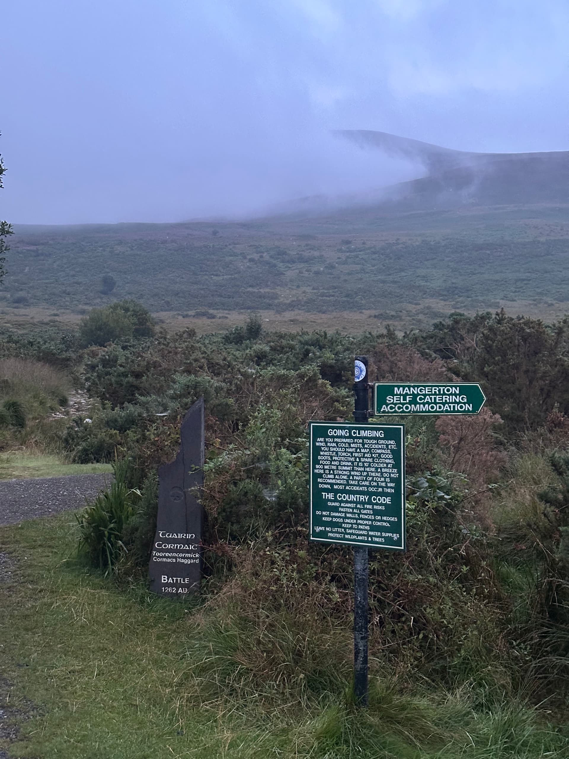
(Mangerton in clouds, a plaque commemorating a medieval battle which took place nearby, and a warning for climbers.)
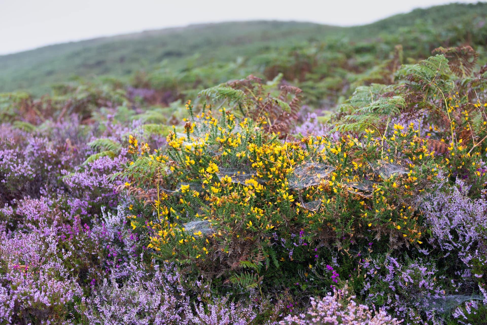
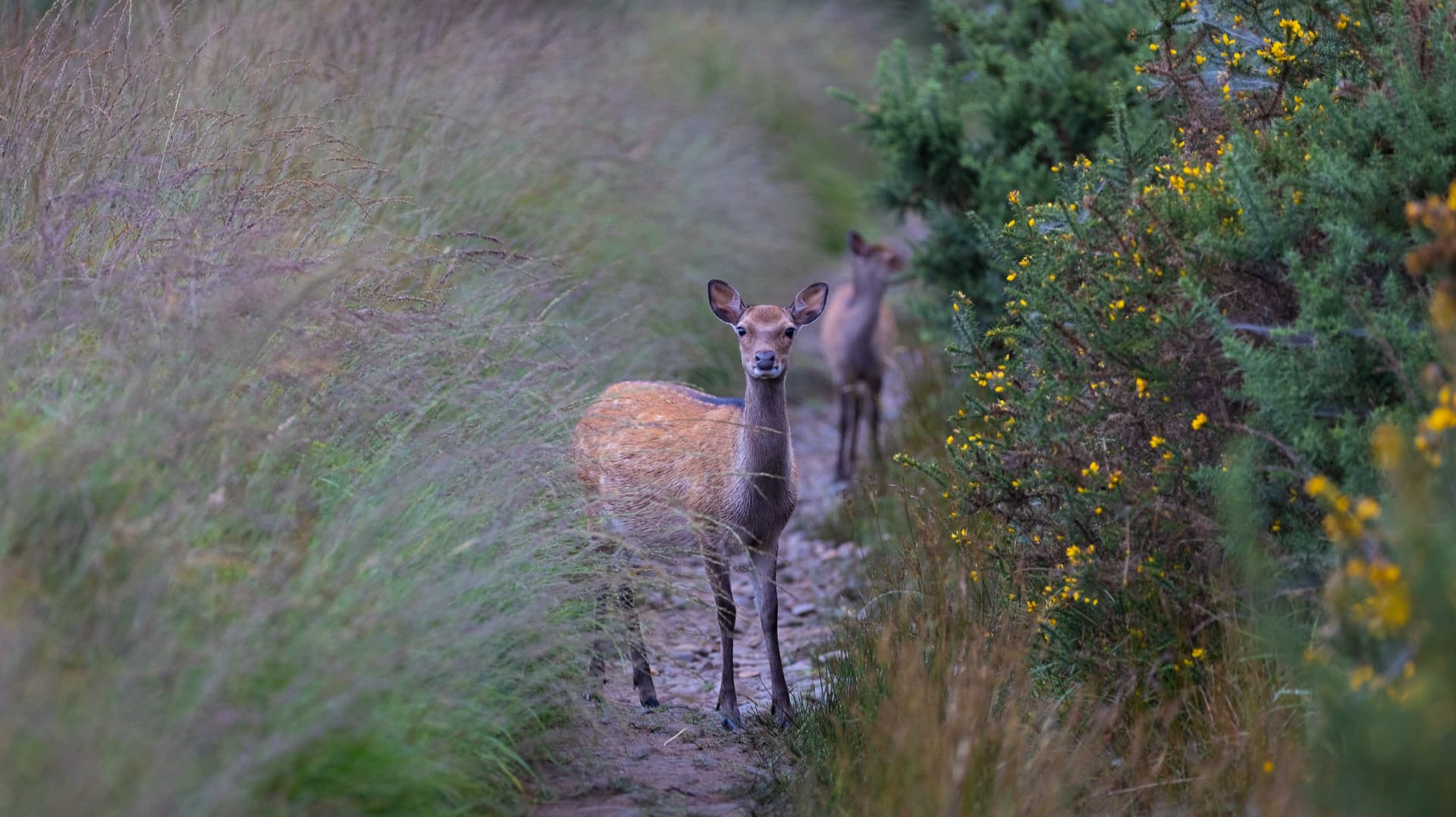
The hike from the parking place at 52.006822, -9.480356 is not a difficult one, and the trail is obvious with no risk of losing your way even in mist. There is a lot of fern, tall heather and gorse along the first part of the trail, but the path itself is not overgrown. If anything, one nuisance is the millions of tiny biting flies, but these are fewer and fewer as one progresses further up the hill and away from the small Finoulagh river. Regarding fauna, the area is a natural habitat for two spiecies of deer, the red deer and sika deer. Two of the sika deer followed me soon after I set off, and I was able to take a snap with my DSLR. Later I learnt from an acquiantance in Killarney that they are pretty common there, and are not very afraid of people.

The well-defined trail is punctuated with cairns and shapes made of stones. I was there early, and I walked the entire trail without meeting a single person.
The sky was overcast and Mangerton was hiding in one big cloud. I had already come to terms with the fact that I’d be activating the summit inside a cloud, and I had done that before. I was fine with the lack of visibility, but wasn’t looking forward to all the moisture on my radio and everything else. The weather wasn’t improving as I was climbing. When I reached Devil’s Punchbowl, it didn’t look at all the gorgeous way Google had shown me when I was researching the hike – it was grey and dull.


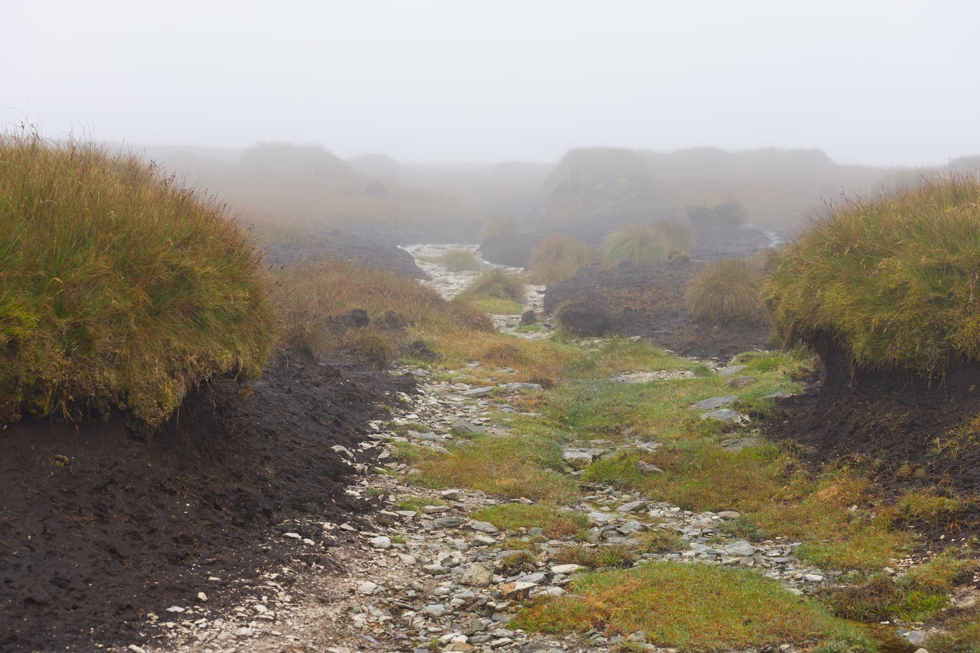
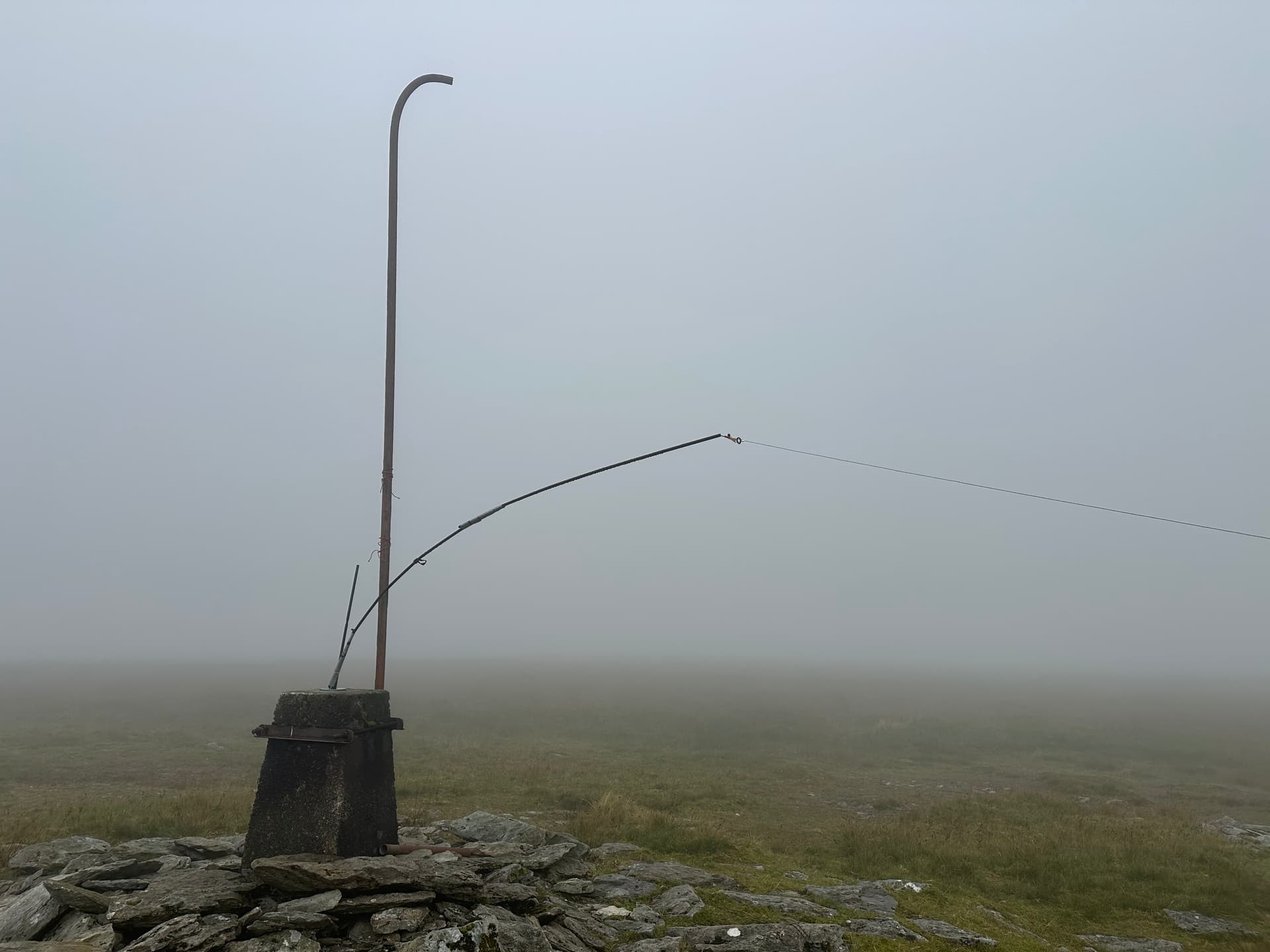
The last part of the hike, from Devil’s Punchbowl to the summit, is the steepest, but I wasn’t bothered by that. What bothered me were the peat hags on the summit. Mangerton’s top is a large flat area, and peat hags from the Devil’s Punchbowl side succesfully prevent people from actually reaching the summit: most hikers content themselves with the view from the trail onto the lakes and Killarney, and then continue around Devil’s Punchbowl. I, however, did want to reach the summit, so I first ventured onto the grassy area through the peats, but backed off quickly after the ground got softer and softer. Then, back from the trail, I walked further along the ridge and around that boggy area, on slightly drier grass and stone. Again there was a lot of grass closer to summit, but ultimately I made it. If it wasn’t for the trig benchmark, I wouldn’t have known where the summit was.
The trig point has an old and rusty vertical pipe attached to it. I don’t know the original purpose of that pipe, but several earlier activators suggested using it as an antenna mast. That was my plan, but it didn’t work, as it was too windy. I was unable to toss a rope over the bent part of the pipe, or to loop it using my lightweight sticks from my (now broken) Buddystick antenna. So I ended up stuffing the sticks into the opening in the trig point, and attaching my EFHW antenna to this improvised mast. The other side of the antenna was attached to a stone on the ground. It didn’t look great, and it was not set up as this antenna was supposed to be set up, but it worked. The moment I turned the radio on and heard very clear transmissions from others I knew mine would have been heard too. And indeed I made several contacts pretty fast. After several summit activations I am starting to notice that it is usually roughly the same group of chasers that find me… I’m starting to feel at home the moment I hear their call signs!
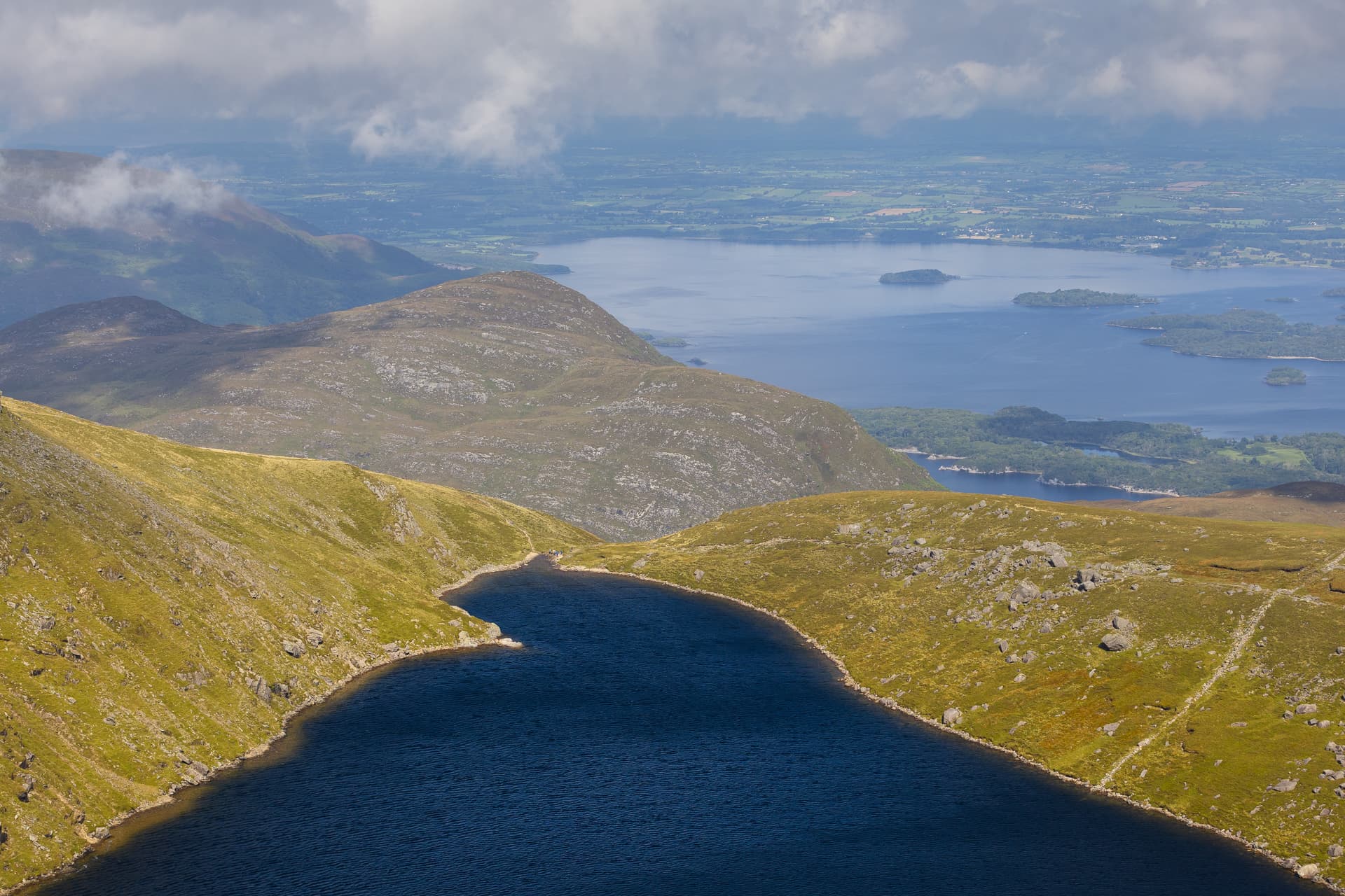
As I was working the stations, the weather started improving and even sun came out! Since I was on top of a mountain, the clouds were being blown onto the peak and down from it, and it made for a very dramatic spectacle. I had something to eat and felt great watching it! Then the weather improved even more, and I was finally able to admire all the views Google was telling me about on my way back. The first photo below is of Devil’s Punchbowl which had looked so uninspiring just a couple of hours earlier.
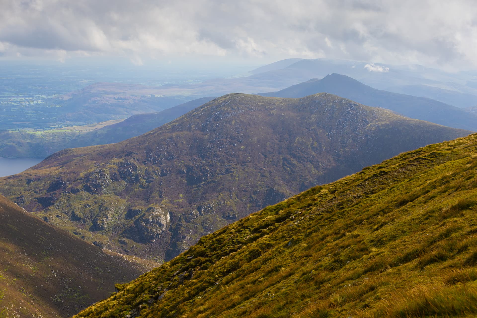
Mangerton does not seem like a challenging mountain, but I’m humbled every single time by my underestimation of distances and heights. So I was this time. The following picture of Mangerton’s northern slope does not seem particularly informative until one realizes there are people in it!

(Because when sun comes out, butterflies do too!)
MacGillycuddy’s reeks as seen from the Mangerton trail. Several SOTA targets there…

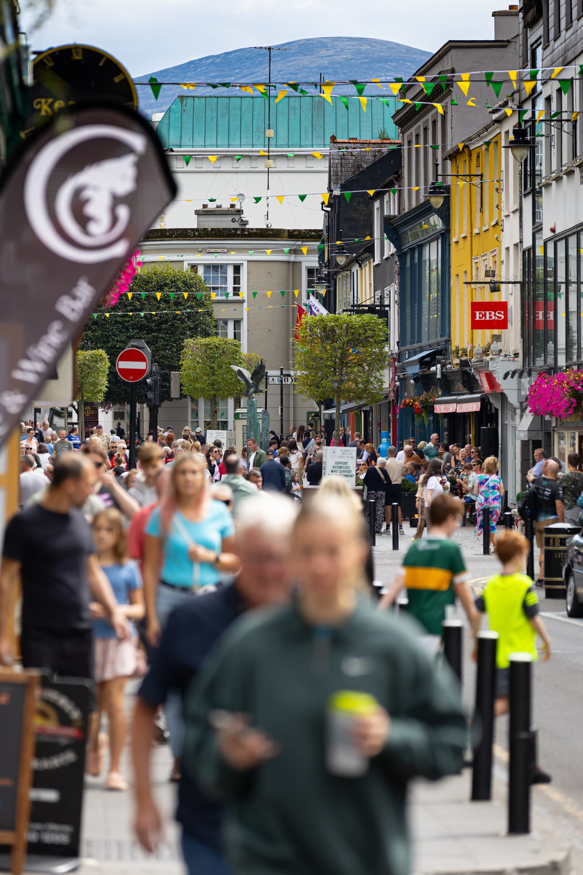
After the hike I was hungry again so I went to Killarney for lunch… and to confirm what people say that Mangerton is visible from the town’s main street!
If anyone wants to see a video from this Mangerton activation, it can be watched here:
