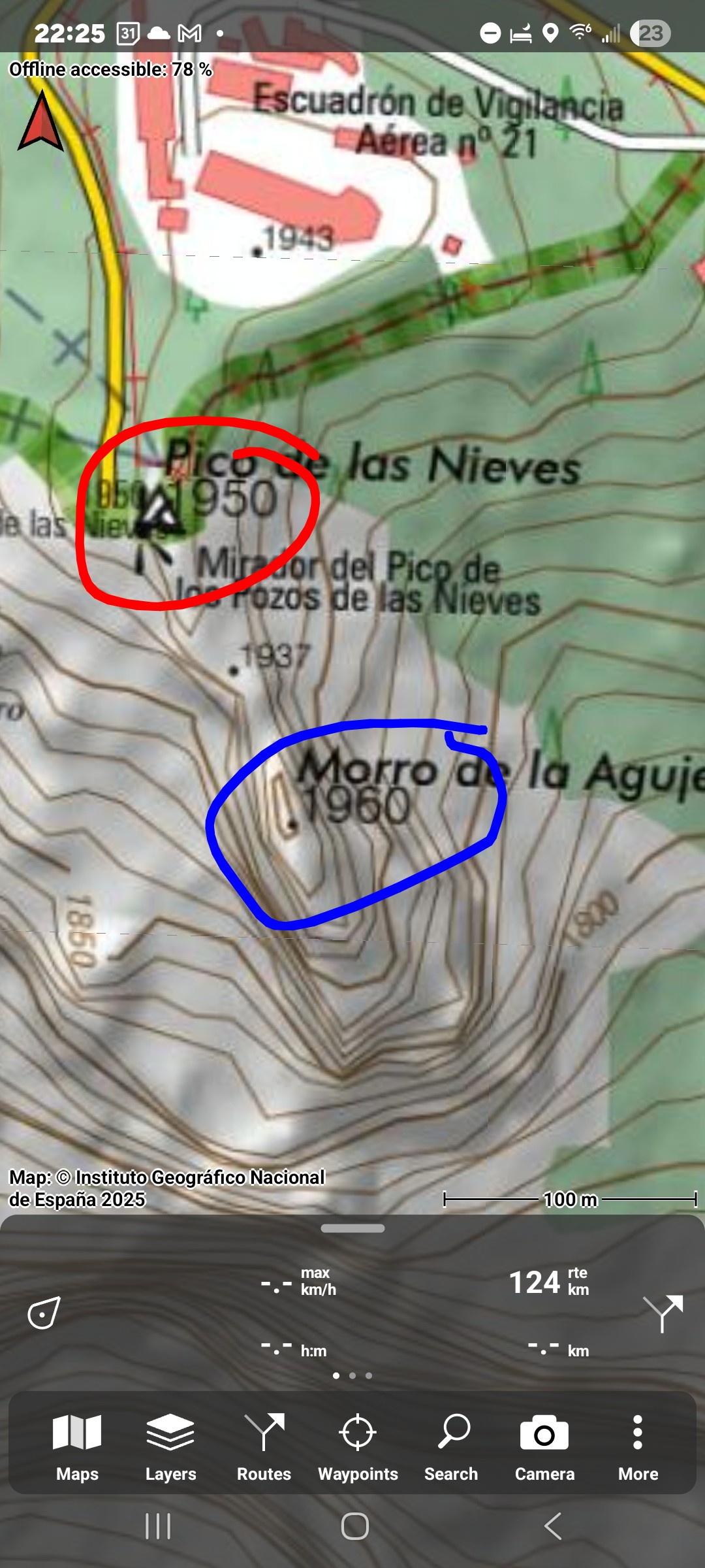
Saw a post from another group suggesting they had just climbed the highest point on Grand Canaria.
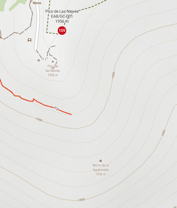
It wasn’t the summit above, but the top of a rocky prominence close by. It appears on mapping I’ve looked at to be 10m higher, but the summit of the prominence is 23m above the col between the SOTA summit and this point, so the current summit would probably still be in the AZ of this new high point?
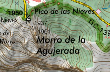
When I zoom in , it changes to 1960 m (like in your screenshot).
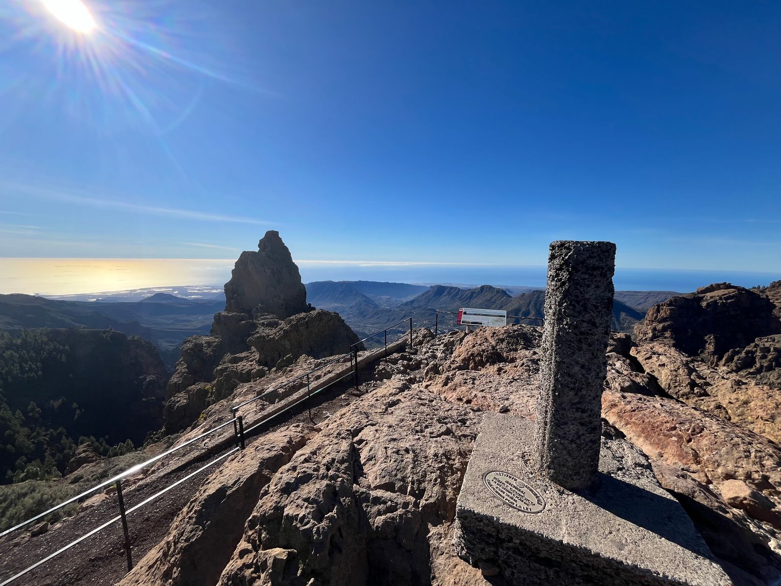
See my report of 2018, the local ham that I met on the summit told me it is forbidden to climb that peak, there is a reason they put a fence there.
Oops, I may have been trespassing myself, since I operated at the ‘outside’ side of the fence … hi.
I’m not a specialist, but I don’t think there is a 10m difference between the trig point (vertice) and that rock, even the IGN map may contain some error.