A long walk up a lonely glen
I’ve been bumping up and down local “four pointers” this past week, mainly due to work patterns. I was really looking forward to my day off , with a few big hills in mind. However the weather forecast was poor, with rain and wind, albeit with mild temperatures. These two hills therefore, are my salvage job. An attempt to make the most of a half-days decent forecast for Tuesday 19th October 2021.
0910z
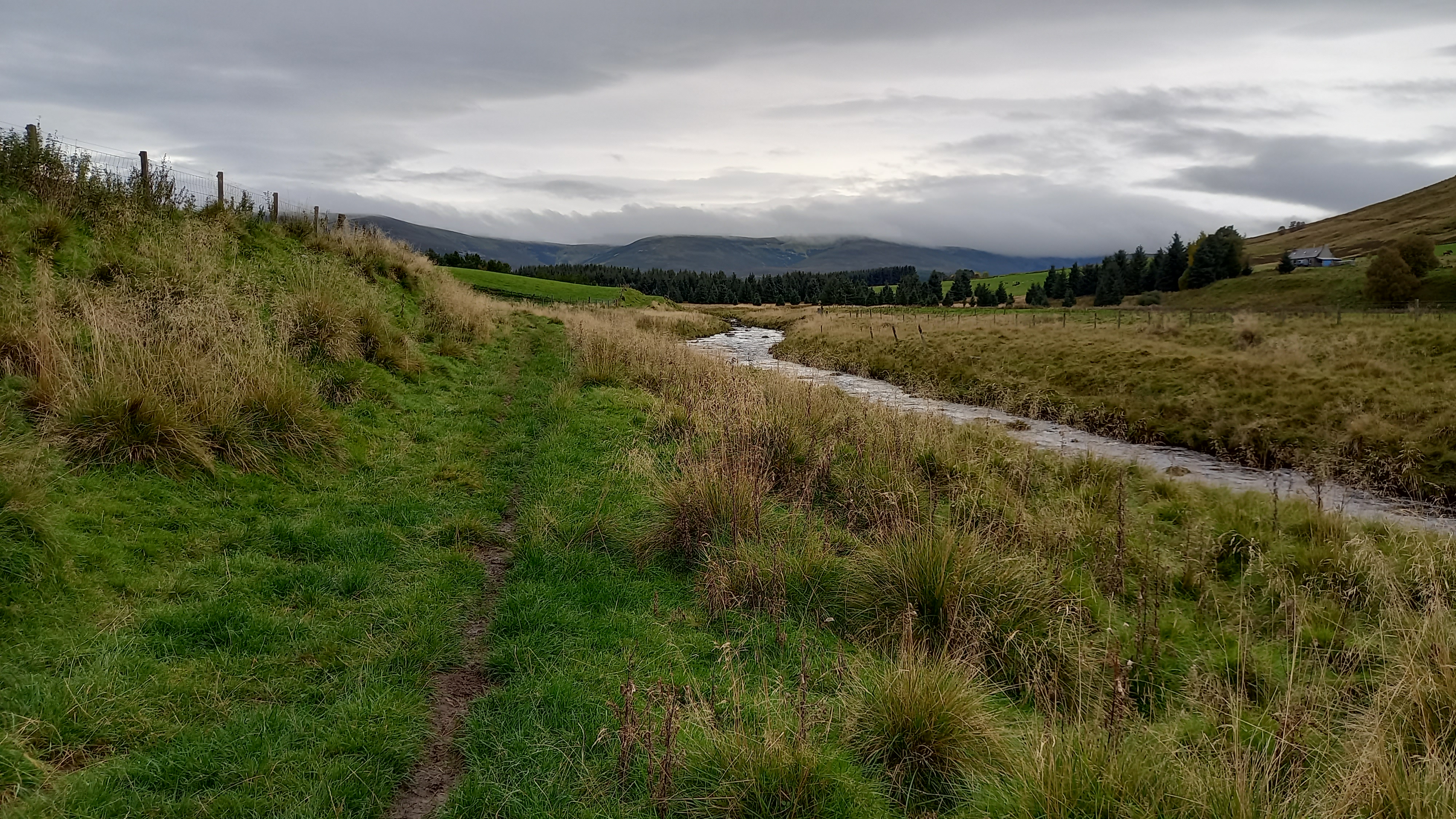
I parked up at Allanreid in Glen Livet and am soon on my way through grazing farmland, following the River Livet upstream and also following a route described in Walkhighlands. I am in Speyside Malt Whisky country.
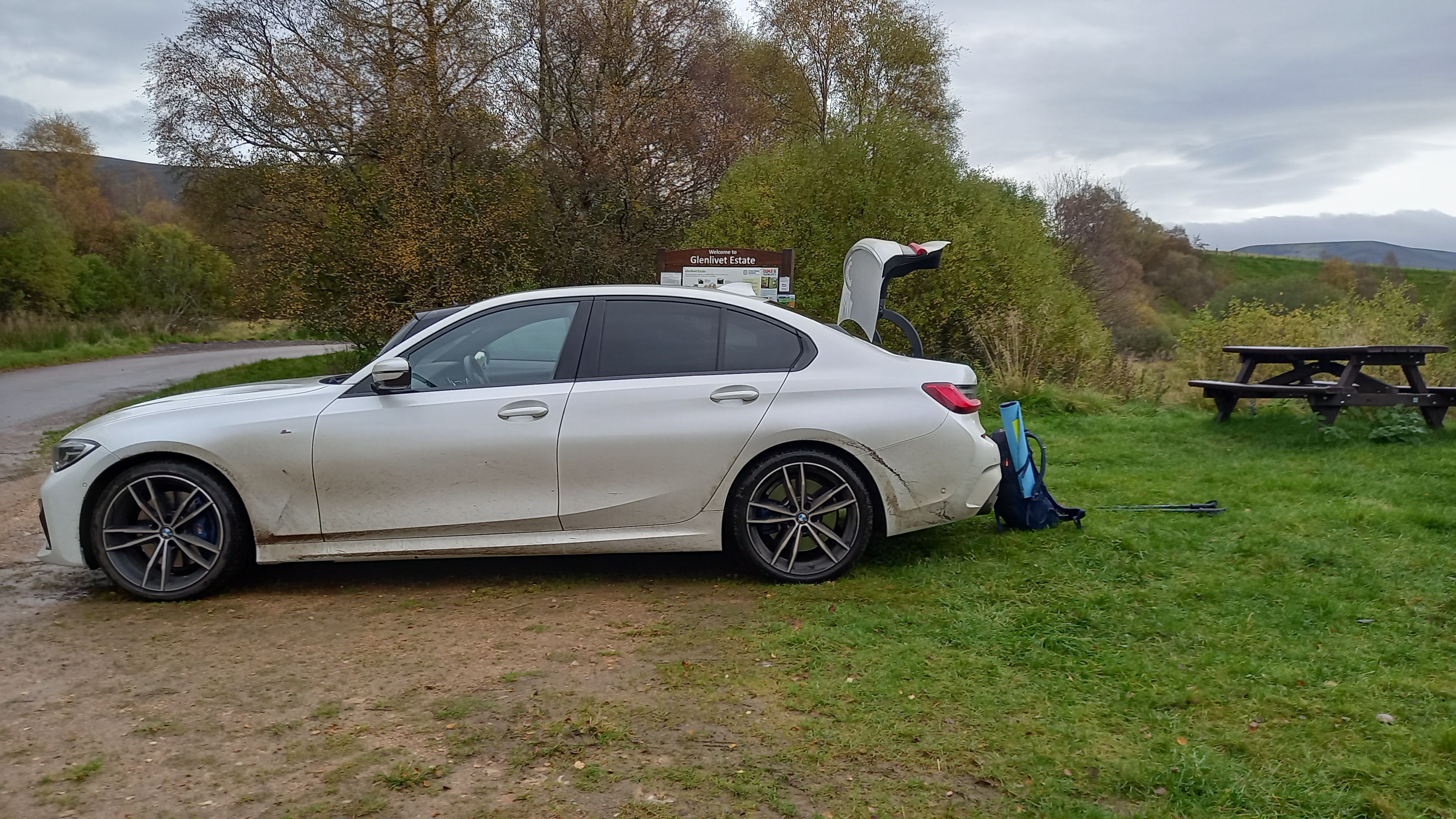
The BMW is on loan, as BMW Aberdeen have been very bad to me these past months. It makes an excellent rally car and particularly likes the Lecht and Glenshee roads!
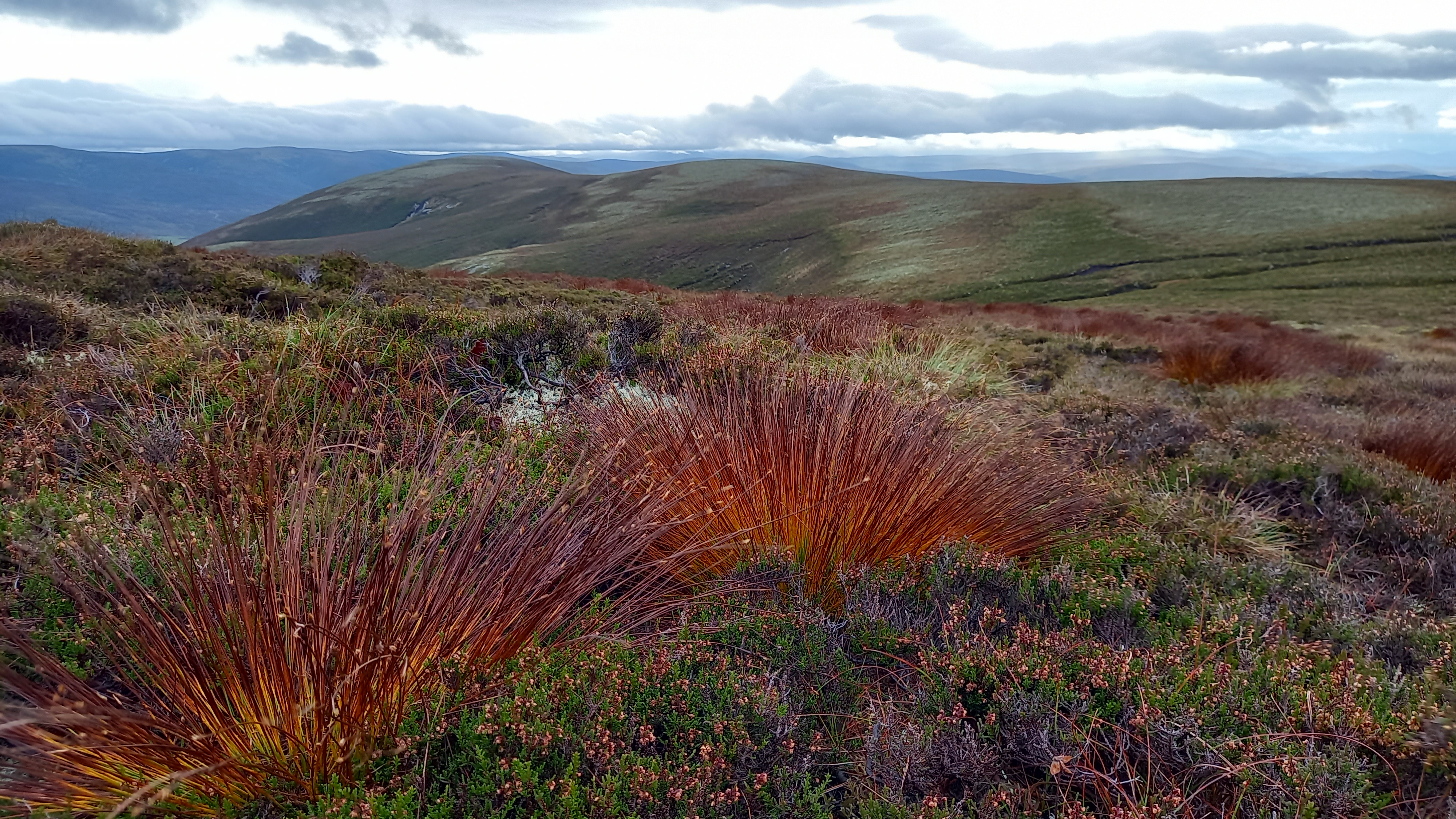
Following the Livet
It was overcast and a bit breezy. I’d left home later than usual, hoping that the forecasted heavy rain would wash over me on my ascent, leaving me with just the 30-40mph winds to deal with on my summits.
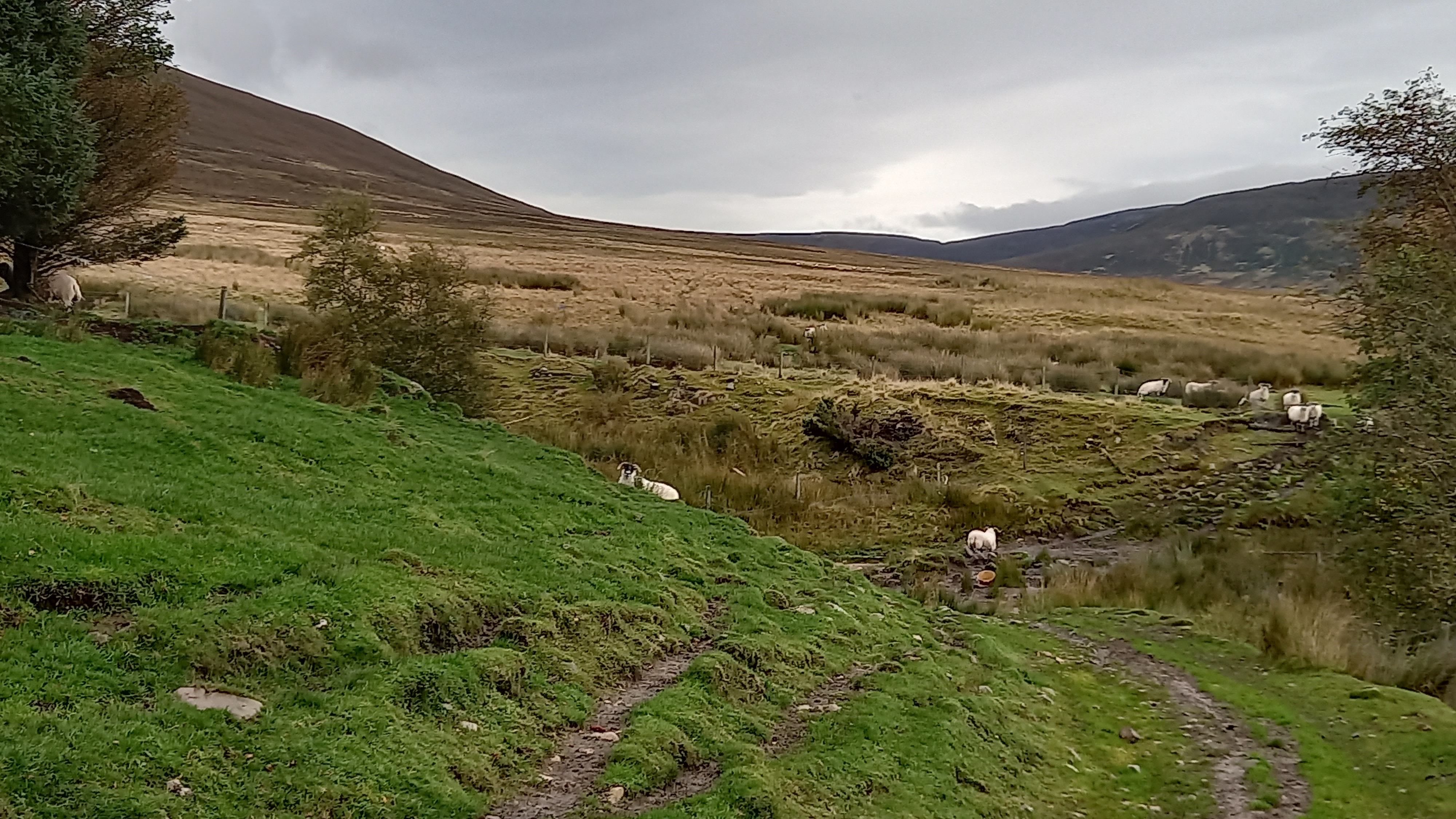
Muddy track reaching the open glen
Crossing a footbridge over the river took me to a Land Rover track and this was followed right up as far as the bothy at Knochkan, 5km from my starting point.
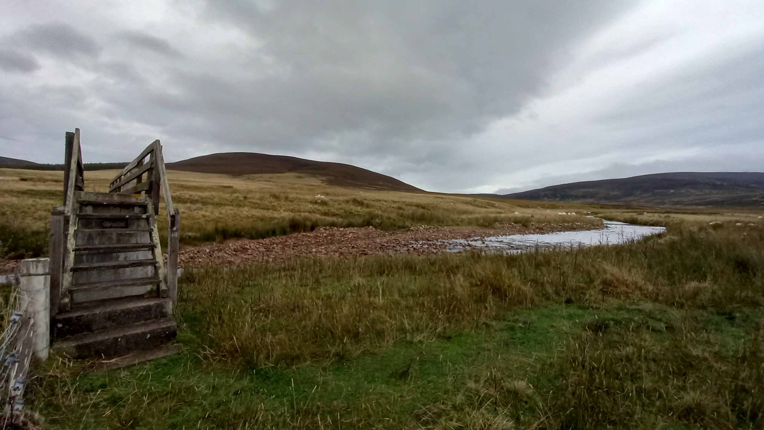
Having crossed the footbridge, views open up to the glen
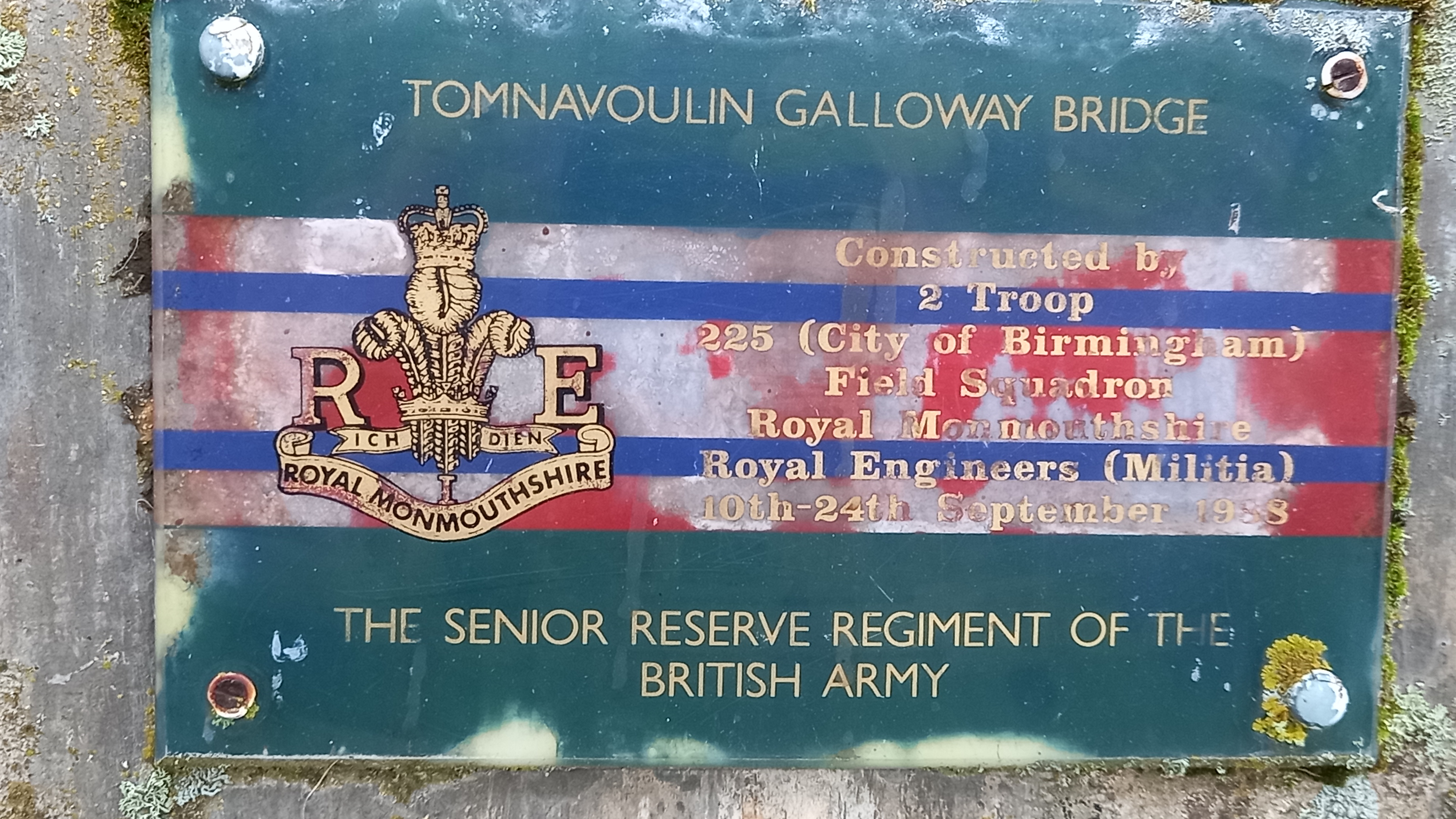
The Army must have built hundreds of foot bridges over the years
I didn’t think I would meet anyone all day, however I bumped into the bothy MO, who was heading back to his car after checking the place out and spending the night there.
Knochkan bothy beneath Carn na Bruar 683m (non-SOTA)

Inside the bothy, the fire still warm
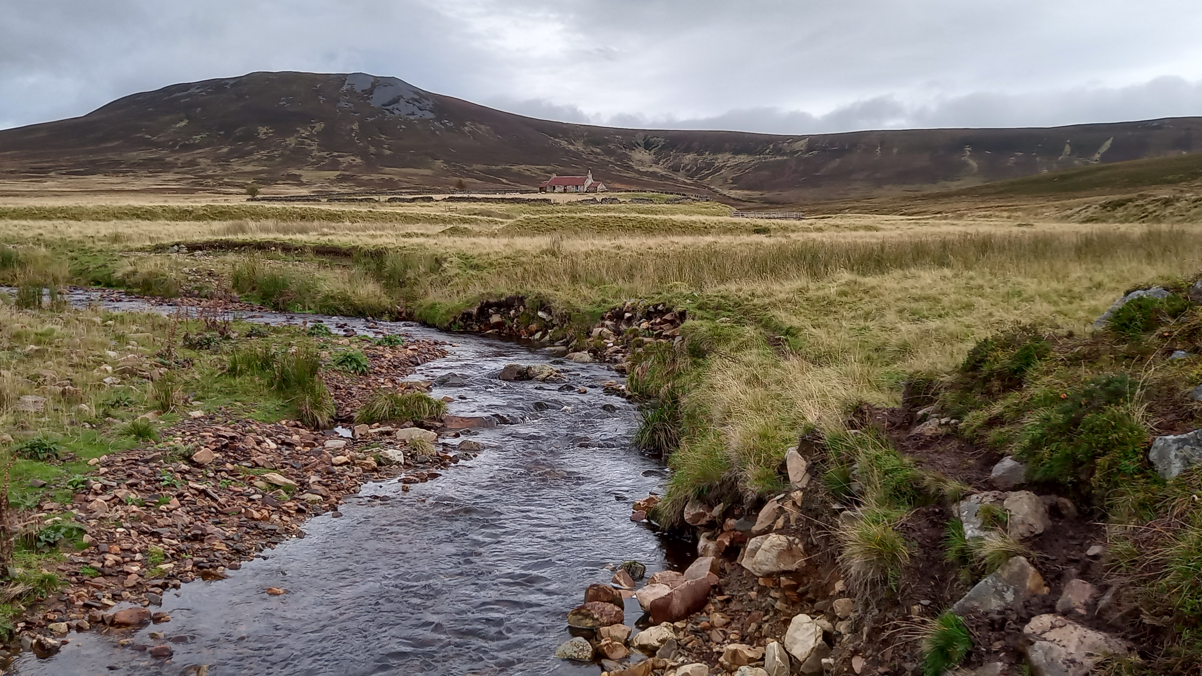
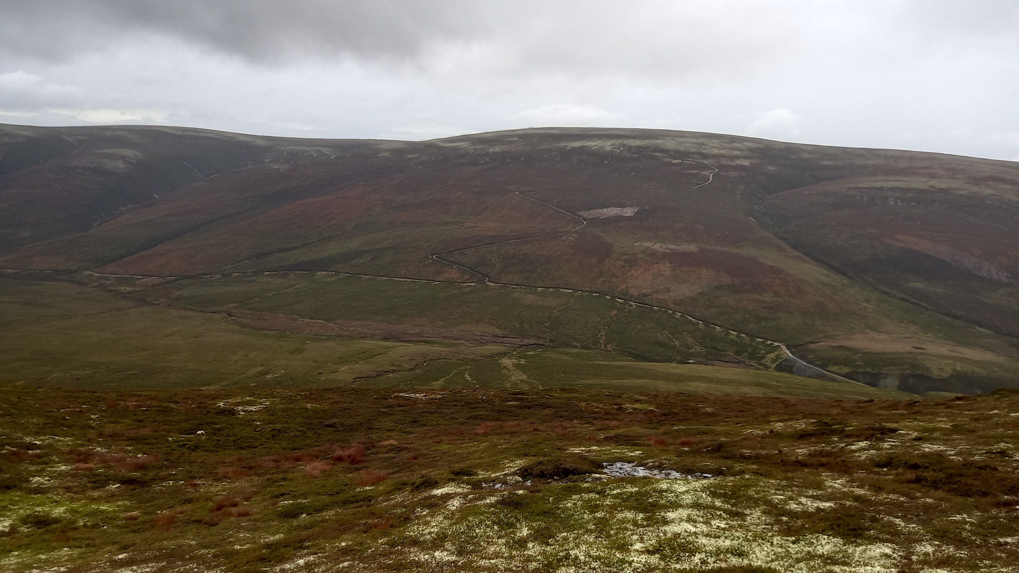
The track continued past the bothy, past an amazingly situated abandoned farmhouse and onto a fork. I branched right, taking a rising traverse towards Cook’s Cairn.
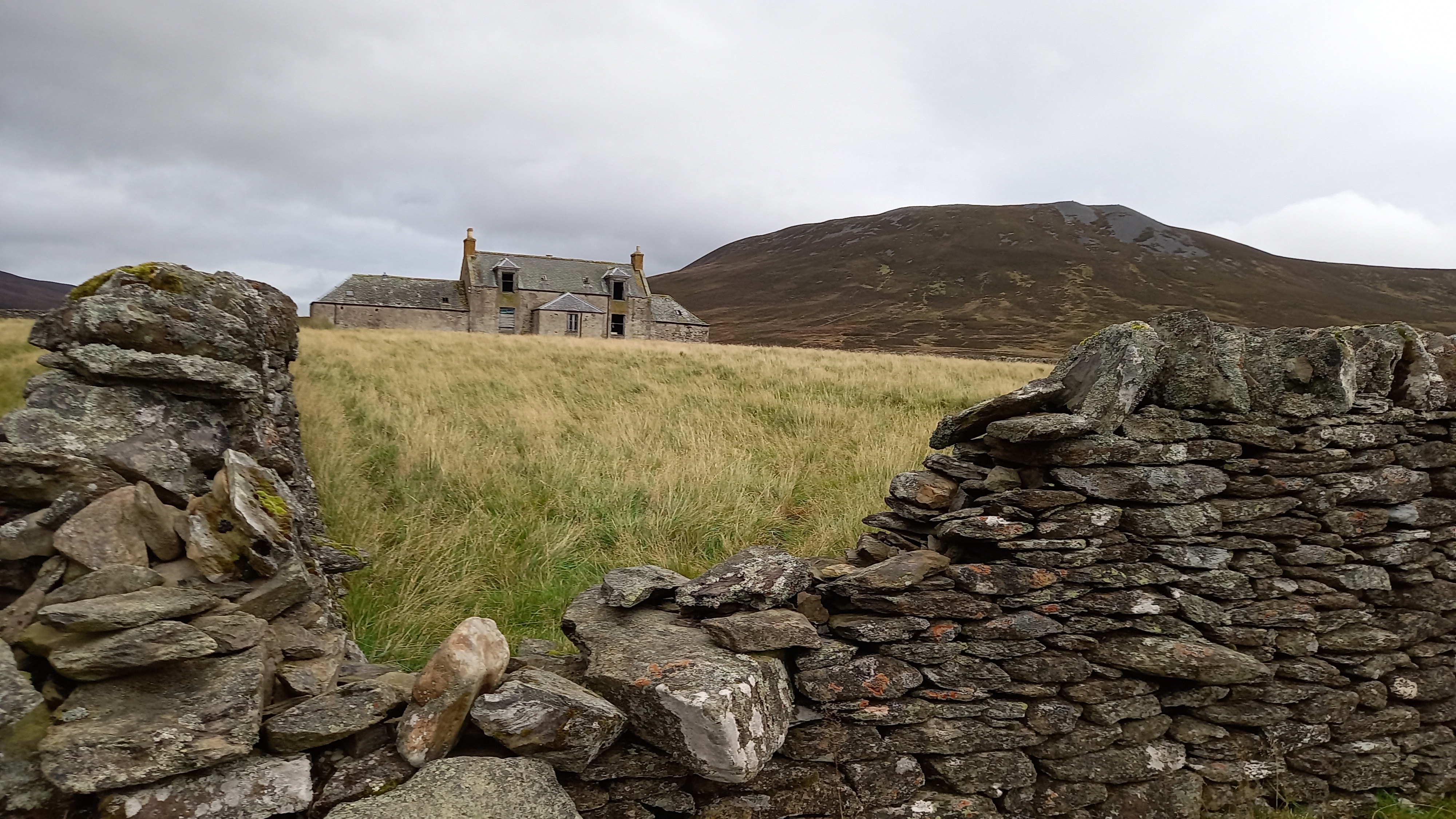
Suie Farmhouse - abandoned
Cook’s Cairn is back right of this picture, Corryhabbie Hill, back left
It started raining. Eventually the track reached a bealach between Carn na Bruar and Cook’s Cairn. A massive new windfarm development came in to view. The track from here up to the summit was less well made, but good progress was made over short heather and I reached the top at 1123z, having taken 2 hours 13 minutes to amble up the 11km.
At the bealach
A flock of dotterel circled around me, having been disturbed by my presence. It was still raining and the summit wind was around 30mph/42kph
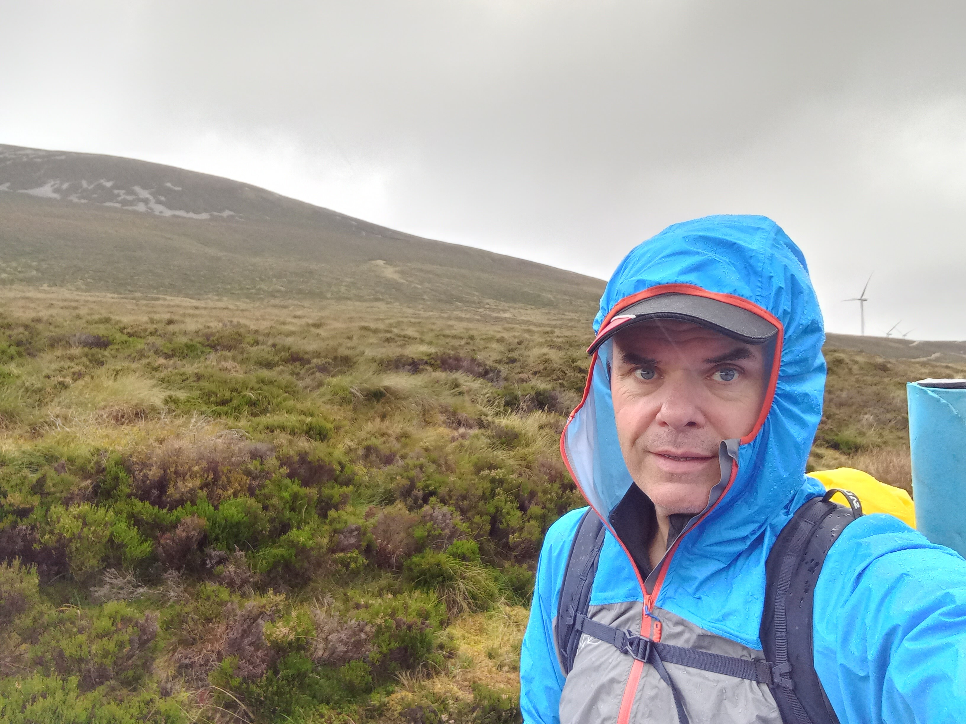
A sandwich was chomped with my back to the wind and the miniscule summit cairn, and I started to set up the station. I’ve been using a W3EDP recently and didn’t see any reason to change this today. I had the bothy bag, but planned on a short activation and figured that I could shield the KX2 from the worst of the weather.
Human shield
Tuning to 60m*, I heard a couple of stations. A Spot was sent, but yielded no joy after 6 minutes of calling CQ, so I switched to 20m and called again. There was QSB, but I had a decent collection of stations in the log in just over 15 minutes, with a couple of summits in there.
*I had great SOTA fun on 60m on Saturday, working blue light ham festival, G and LA.

I was cold now, having just thrown my very lightweight waterproof over my base layer. The station was ripped down in no time and I was on my way by 1221z, having spend an hour on top.
The 250m drop into the glen was over short heather, then rocky bits and bog near the bottom. Thereafter I picked up the zig-zagging vehicle track that climbed up a similar height to the summit of Corryhabbie Hill, the rain easing and then finally ceasing as I ascended. This took an hour. 4.6km, 2.9 miles.
Heading down, the Corryhabbie Hill track ahead of me
I’d done the route in this direction because I knew that Corryhabbie Hill had a descent sized summit shelter. The wind was due to strengthen as the day went on.
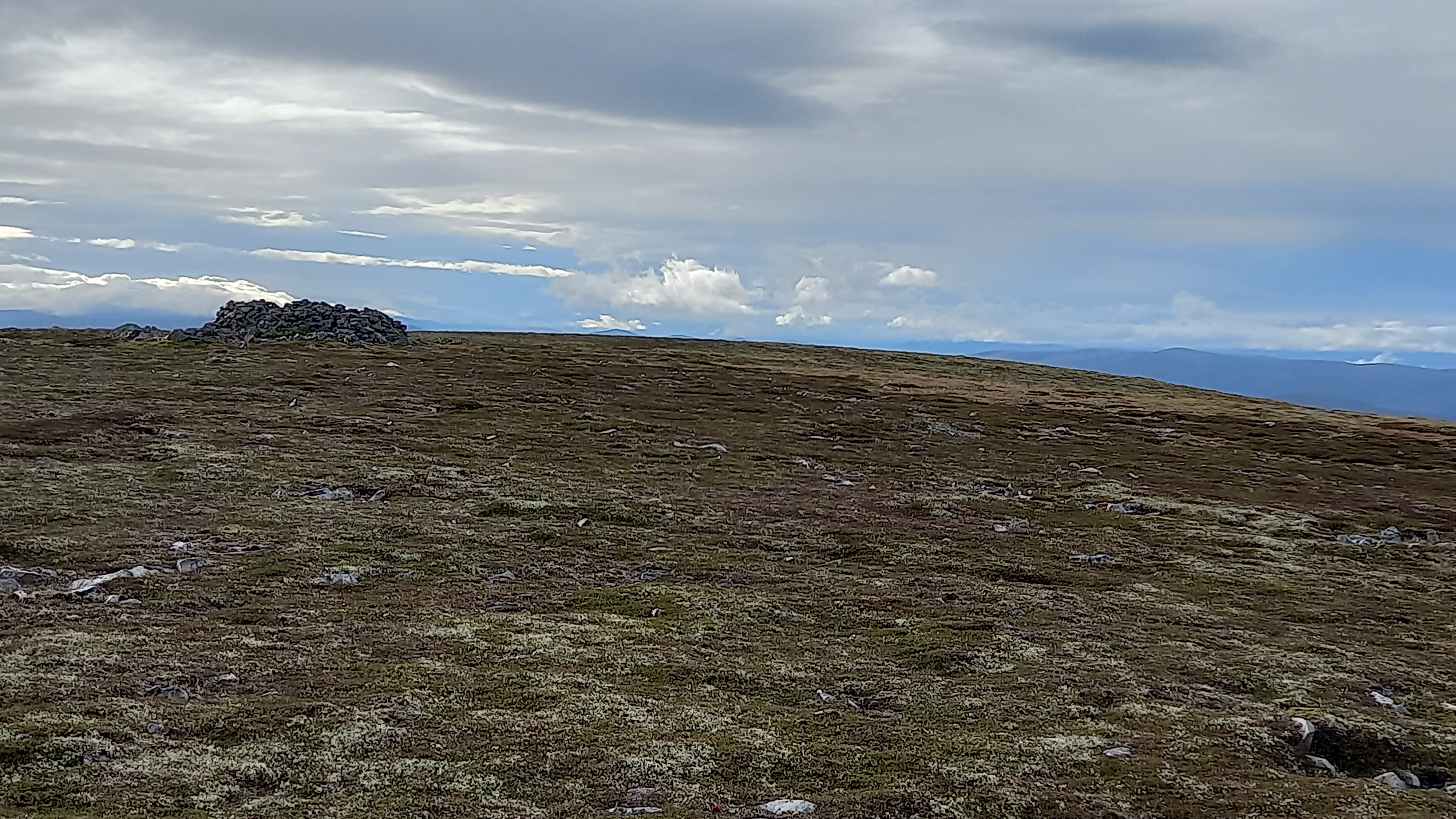
Corryhabbie Hill, with its stone shelter surrounding the trig point
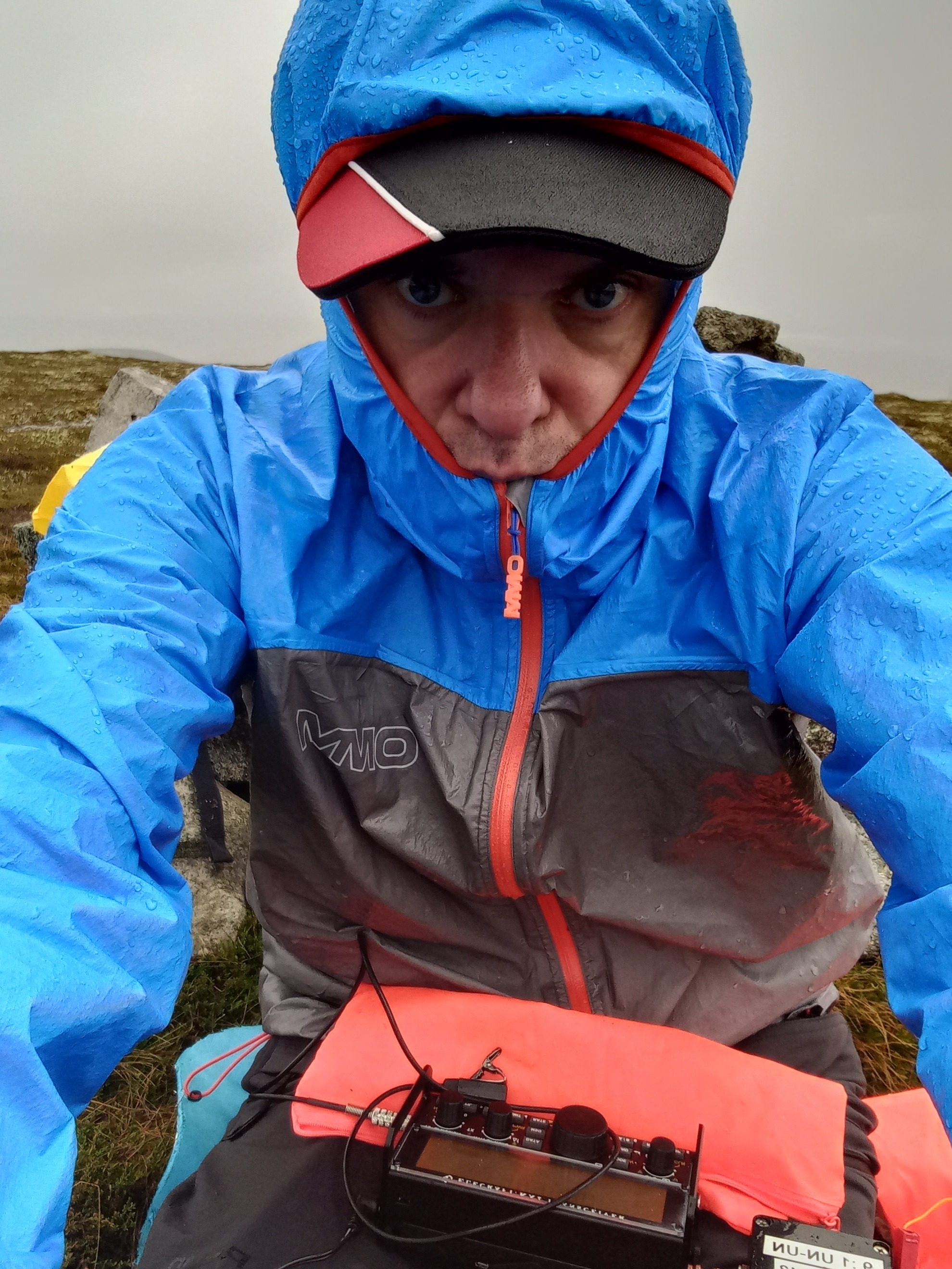
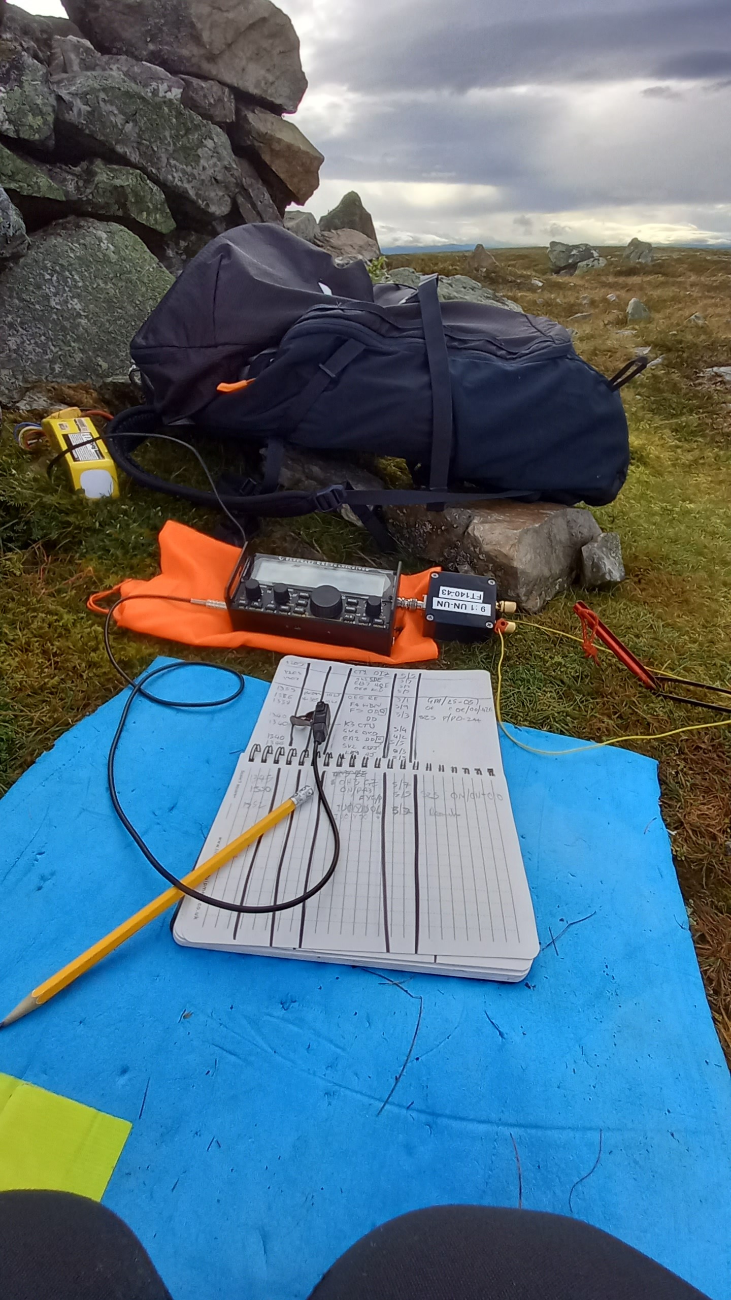
Crouching on the northern side of the shelter shielded me from the wind and I quickly erected the mast and W3EDP, not really giving any consideration until much later on my descent as to which way it was facing! (It turns out it was orientated north to south.)
My office
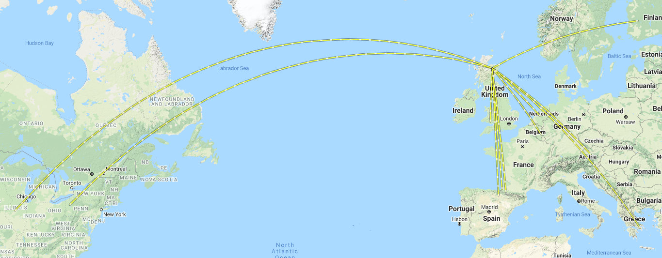
I went straight to 20m this time. EU QSB was still there but I pulled in a couple of USA stations, @K3TCU Gary and @KE9AJ Joe, which made my day. First time with this radio, first time on SSB phone. All with 10 watts into an “old-fashioned” aerial. Happy Days! ![]()
I was packed up and on my was by 1410z, summit time being 50 minutes. Unfortunately the return leg was into biting winds, over sometimes boggy ground and an undulating 4km ridge. The tops consisted of lichen covered quartz blocks, wet lichen covered quartz blocks. Very slippy. My timings for the walk had been spot on over the two summits, but I’d screwed up on the return. I was going to be back at the car no sooner than 1600z, an hour later than planned. An apologetic text was sent…
The way down, eventually
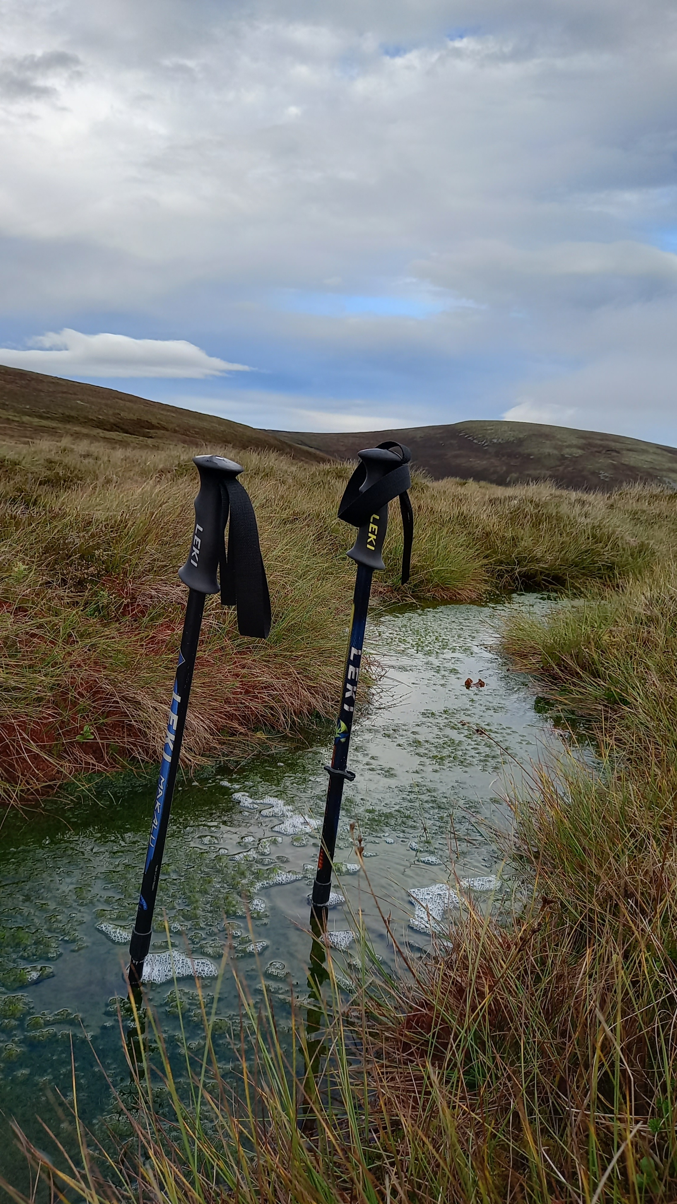
A metre deep bog. Shortly after I took this picture, I went one leg down into one
On passing the last top, Carn an t-Suidhe, the Walkhighlands route peels off south east to re-join the outgoing one, but only after the Livet has been forded. I decided to head off south west, as the slopes looked to be of similar angle on the map. Pretty soon I could see right down to the spot where the outward track crossed the Livet on the footbridge. All that lay between me and there was the slope and a huge field of sheep.
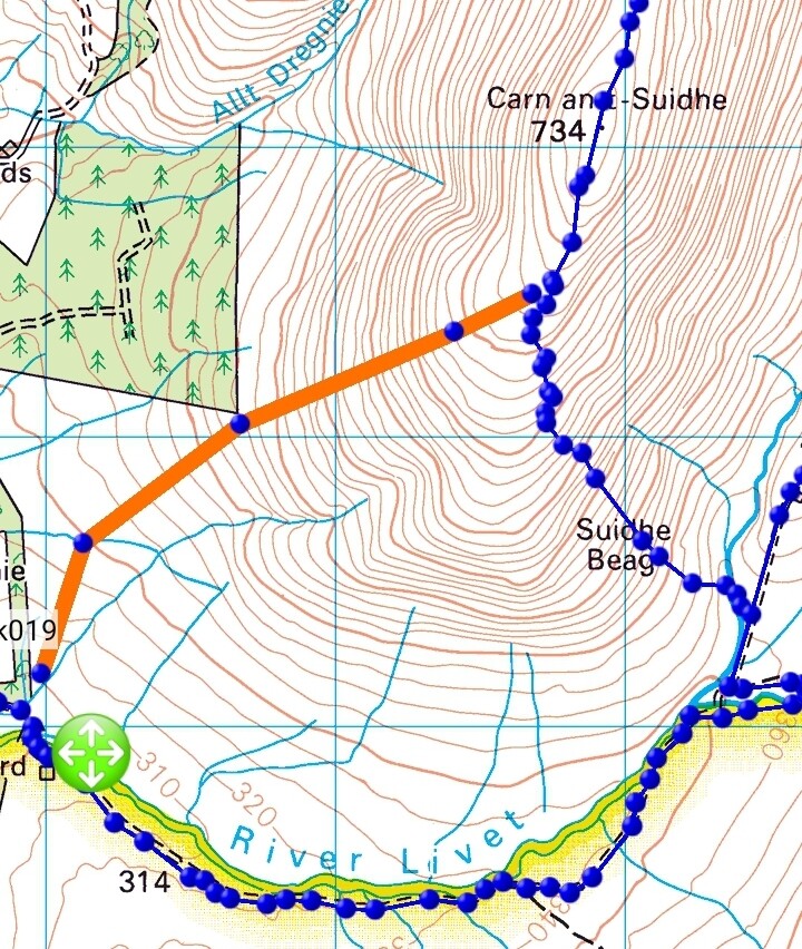
My shortcut shown in orange
I was aiming for the kink in the river at the end of the strip wood
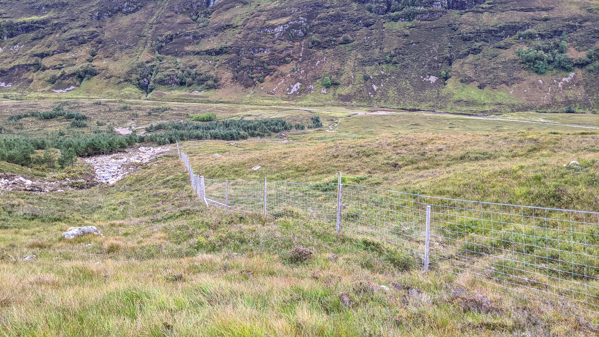
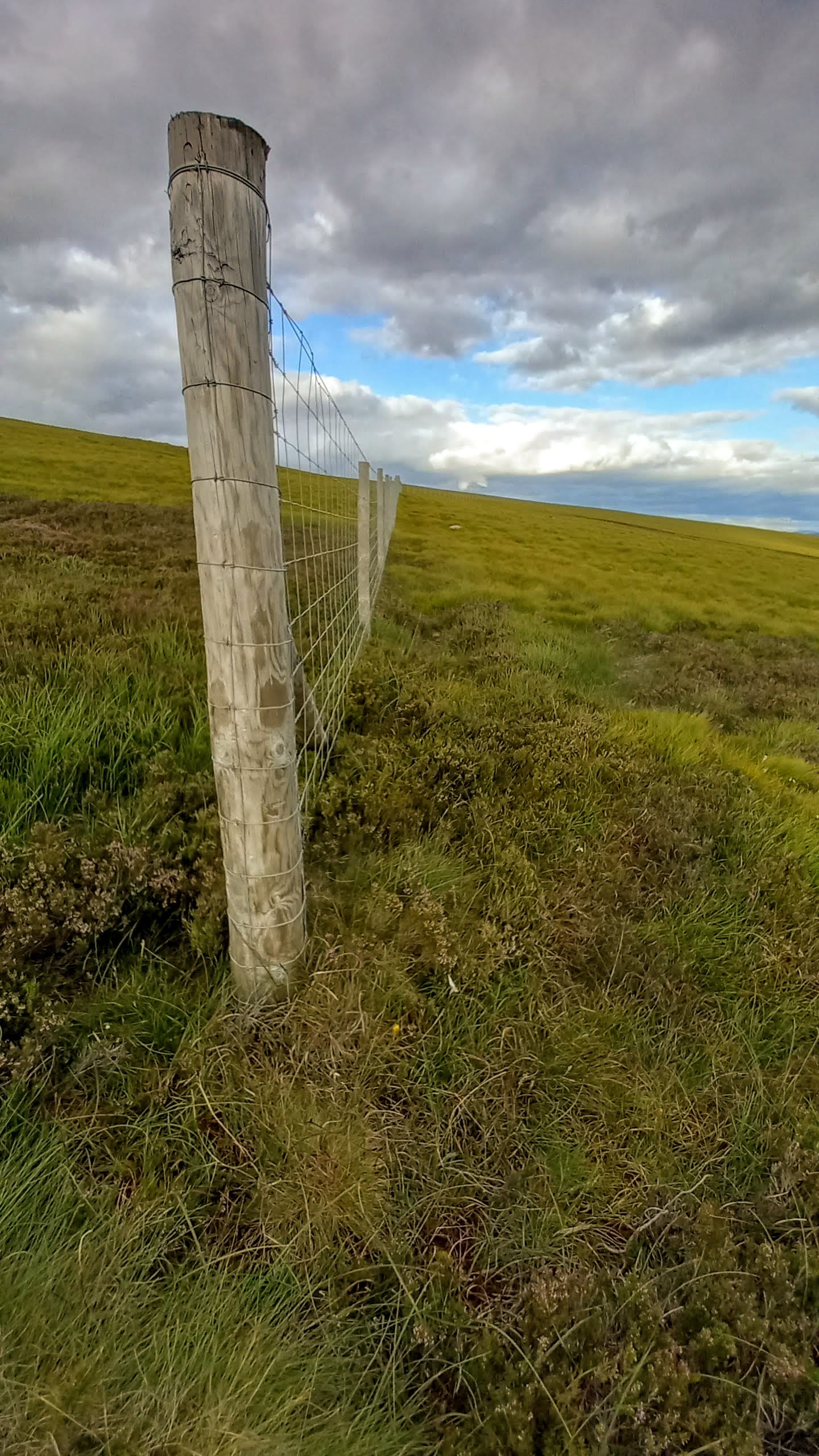
It was OK going and soon I reached the Worlds Oldest Deer Fence. Thankfully I was able to squeeze through it.
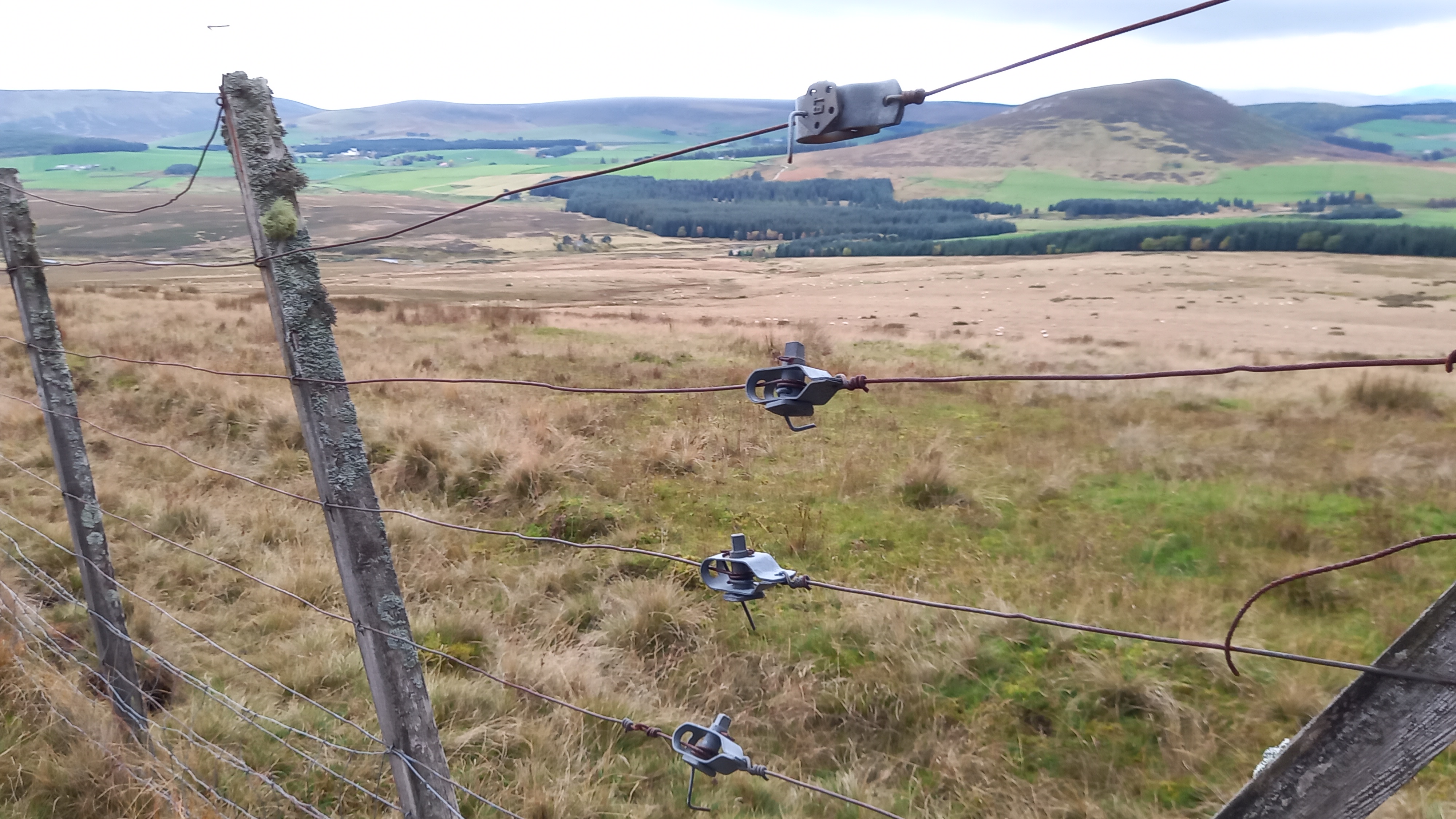
Deer fence
I soon had to cross a barb-wired livestock fence to gain access to the sheep field. This was grassy and tussocky, but presented no real issues and I soon re-gained the track, arriving back at the car park exactly on my original schedule, 1600z! Another text was sent…
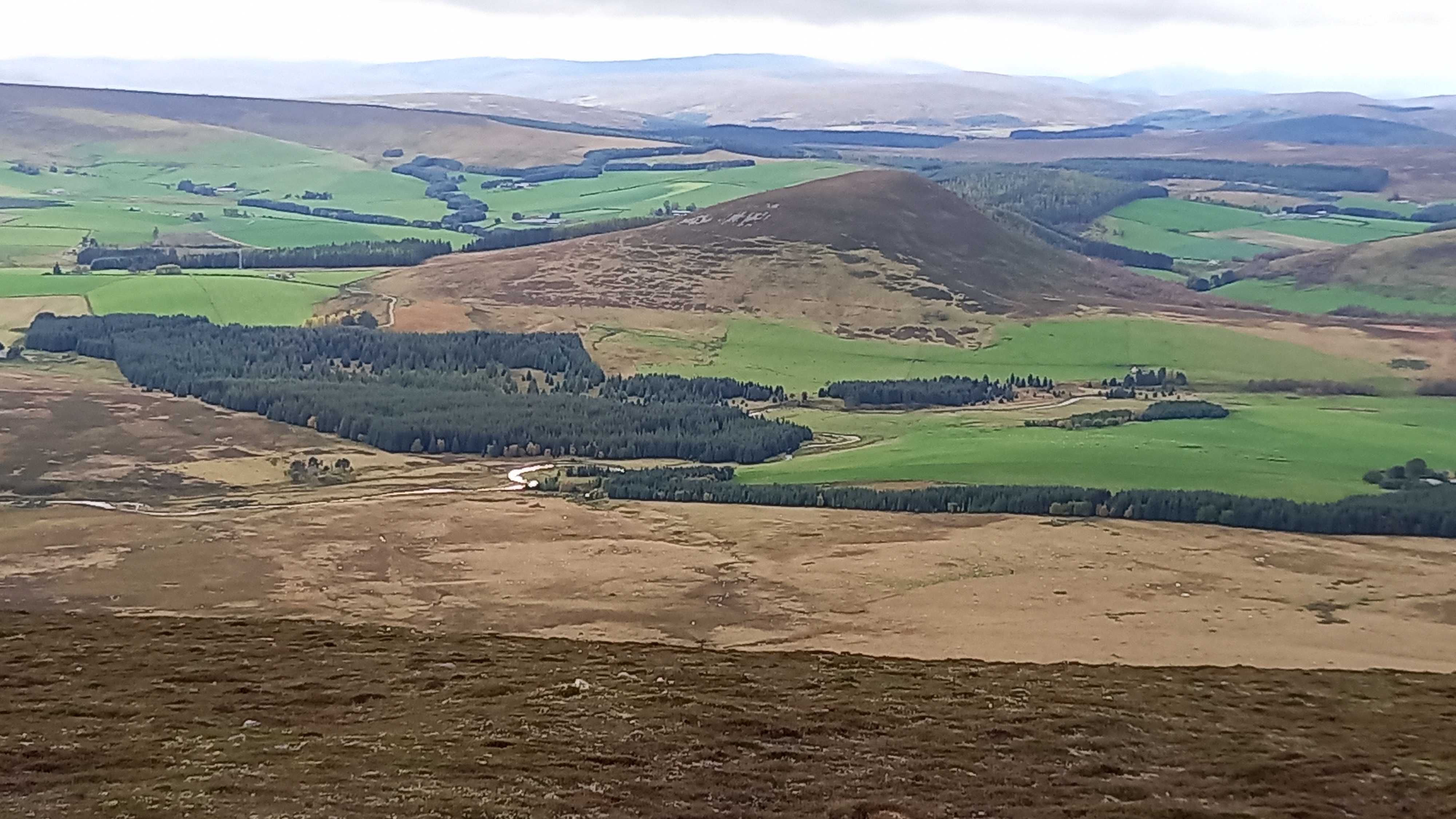
The sun even came out for the last few hundred metres, having dropped beneath the clouds, warming my skin and casting long autumnal shadows across the glen.
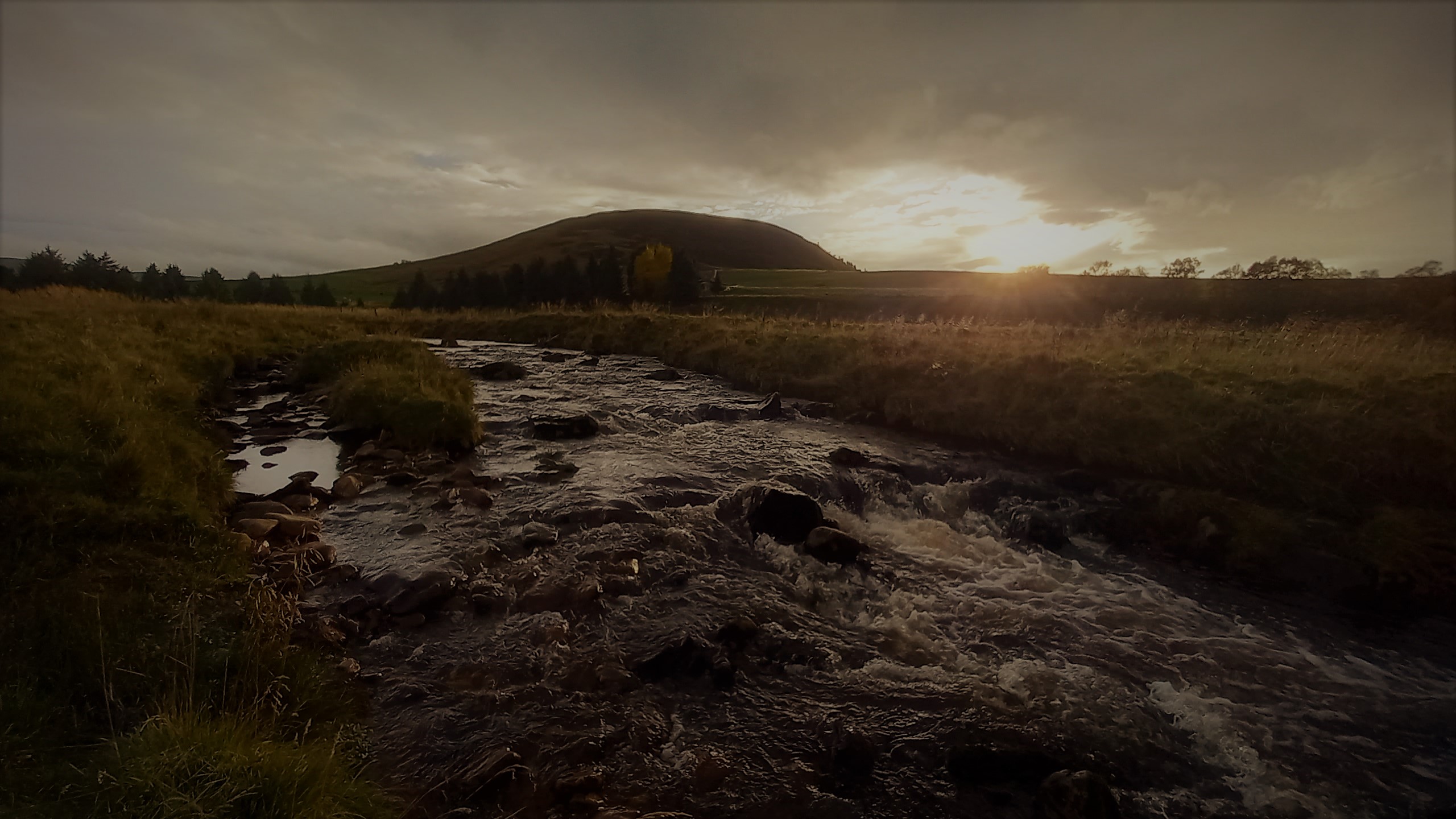
Sun pops out alongside GM/ES-066 The Bochel
Summary
Distance 15 miles/24km (thanks to short cut)
Ascent 790m/2591’
Time moving 4 hours 27 minutes
The hills themselves are far from spectacular, as is the norm around Moray and parts of Aberdeenshire, but the approach was a fine one. The surprise of the day was the new windfarm which encroaches Cook’s Cairn on three of its flanks. It wasn’t on my 2018 OS map.
In all, a good day out when there were wild conditions on the higher Cairngorms and lots of rain to the west of the country. Unexpected DX made it memorable though!
73, Fraser