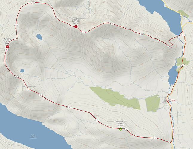
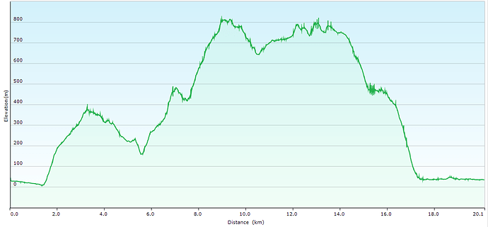
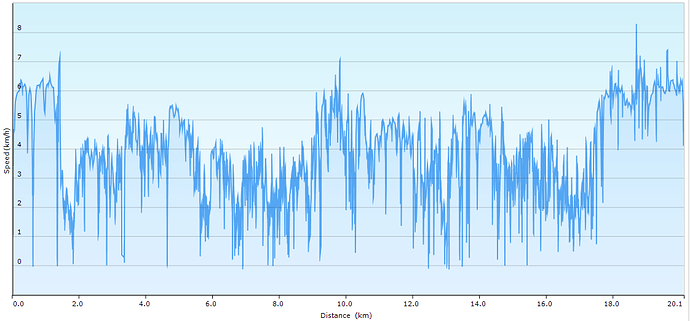
On Sunday I completed the Mweelrea horseshoe taking in EI/IW-052 Teevnabinnia, EI/IW-001 Mweelrea and EI/IW-003 Ben Lugmore. An 18km hike and with 1400m of ascent and three activations, it turned out to be long day on the hills.
I didn’t post alerts in advance as the weather was uncertain (windy and rain showers on the drive) and waited until I arrived to see whether a complete circuit was viable. Setting out, Mweelrea and Lugmore were completely cloud covered. At least 379m Teevnabinnia, a new one for me, would be straightforward. After that I would take stock. Car parking in a layby near the Delphi Hostel split the 4km road walk at the start and end of the hike in two.
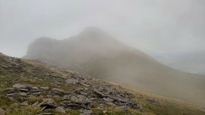
The initial hike is over very rough ground and long grass - gaiters essential. Teevnabinnia was reached easily and although it was windy, it wasn’t difficult to find a sheltered spot. At this stage, Mweelrea summit was still obscured and didn’t look like a sensible prospect.
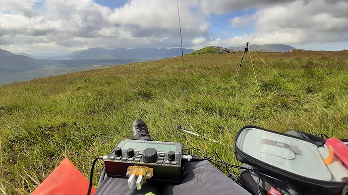
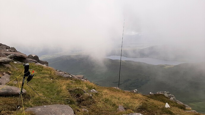
I settled down to an enjoyable activation. Conditions on the band were okay and the WAE contest didn’t seem to affect 20m as much as I expected. I made 22 qso’s in about half an hour. The weather brightened up and the sun even came out and the clouds lifted sufficiently to think that continuing would be possible after all.
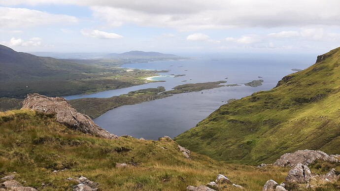
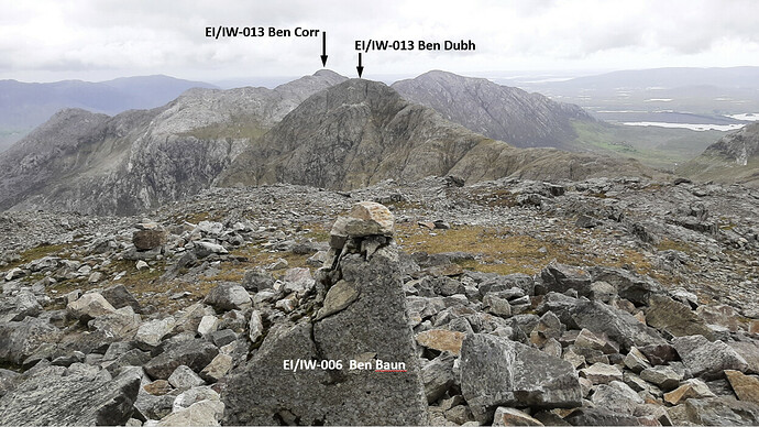
The 12 Bens in Connemara from Teevnabinnia
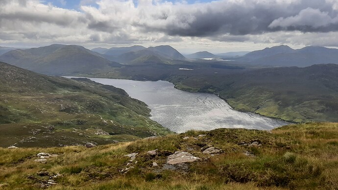
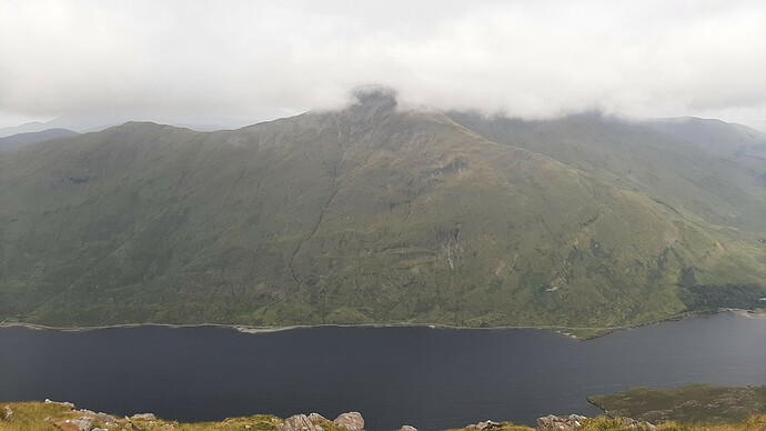
There were excellent views over Killary Harbour on the hike towards Mweelrea, as the clouds lifted further on the summit ahead of me.
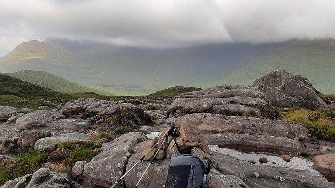
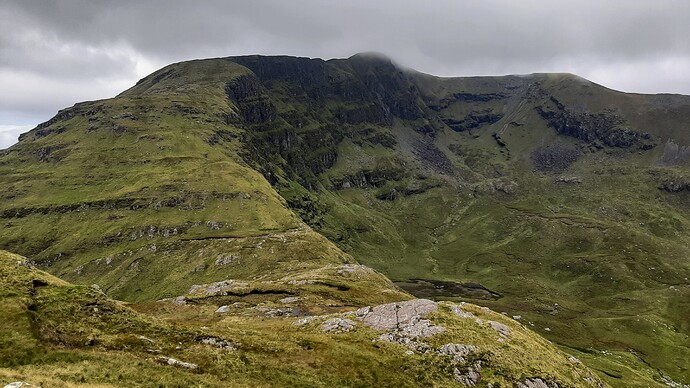
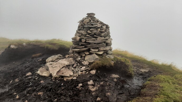
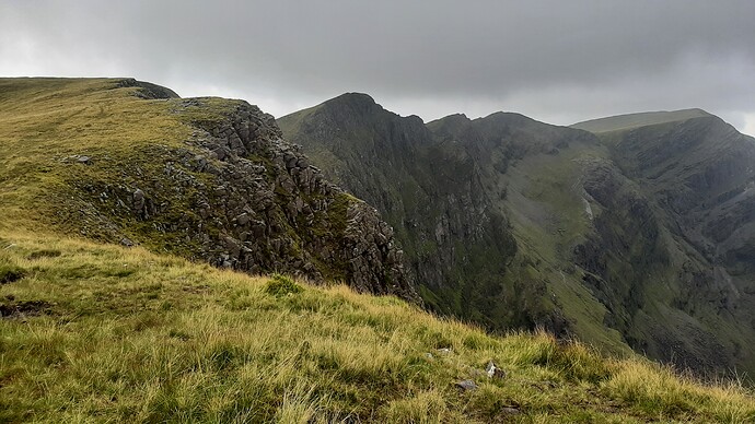
The visibility reduced again as I neared the summit, but was safe to make progress and avoid the cliffs to my right. The summit marker is near enough to the edge of the cliff for my liking.
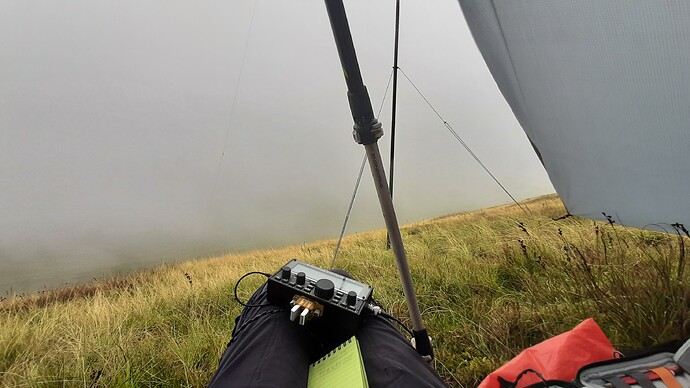
There was a strong northerly wind at the summit, but fortunately the southern slopes of the activation zone are safe and gave a little relief. I set up my tarp shelter for a little more shelter and though it flaps like crazy in the wind it has made several difficult activations possible.
Conditions were pretty good on 20m with a lot of US contest stations, although my best dx was YC2VOC Galih, for my third summit contact with him in a week.
Two activations down, one to go. I was committed to complete the circuit now rather than retreat back the way I came. However, the trickiest part of the route had now to be followed. Returning to the summit, I met the only other hikers I came across all day. In the fog I continued down to the col between Mweelrea and Ben Bury - without a map/compass or GPS you could easily get lost here. And so on to the Lugmore ridge and Ben Lugmore EI/IW-003 which appears out of the gloom just when you thought you must have somehow missed it!
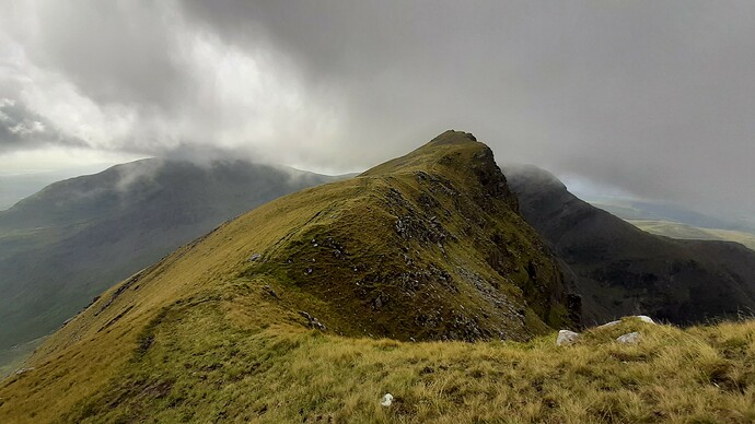
This must be the steepest and narrowest summit I’ve activated, but there was excellent shelter from the wind and it made for the most enjoyable activation of the three.
Ben Lugmore West Top and Mweelrea from Ben Lugmore
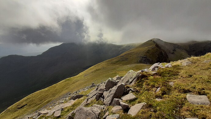
I made 17 qso’s. It was now after 5 o’clock local time and still about 7km to make it back to the car. Quick update to report my location and off down the ridge with some great evening views.
Looking back towards Ben Lugmore with Mweelrea behind to left
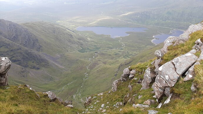
Doo Lough and Barrclashcame EI/IW-004
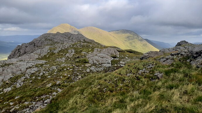
Sunlit Ben Gorm EI/IW-011
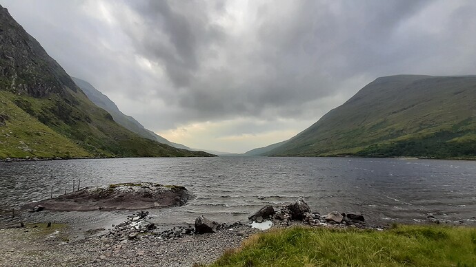
The last part of the descent is very steep and with tired legs extra care is needed before making it to Doo Lough and the final 2km walk back to the car. Back to the car at 19:30 local time, over 10 hours on the hills. Then the long drive home - at least the roads were empty at that time on a Sunday evening.
Addendum: By horrible coincidence, as I write this, it’s been announced that the body of a hiker missing on Mweelrea since Monday evening has been recovered from the mountain after a 2-day search. By all accounts, the man who died was an experienced hiker and well equipped.
