I decided to activate Cadair Berwyn GW/NW-012 today. I reported last year on the parking spot at Tan-y-Pistyll being overrun by illegal parking blocking the road and people who have not learnt how to behave properly in public. Therefore, I used an alternate parking spot today on the B4391 mountain road to Bala and parked at OS grid reference SJ017305 at 486m ASL. The summit is 4.25 miles from here but I had a fantastic walk over heather / peat / grass moorland and the climb is very gentle. The area is designated as one of special scientific interest and can be very wet! There is a well-defined path and so the reasonably experienced hill walker would have no difficulty navigating in mist. Much of the lower route has duck-board style wooden plank paving. This was a long walk and my legs were rebelling from Elidir Fawr and Y Garn two days earlier but I enjoyed every minute: I even saw two lizards.
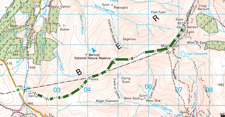
This is the route. On the outward leg, I skirted to the west of Moel Sych - it saved climbing but paths were feint / non-existent so it was harder work walking. I went over the summit of Moel Sych on the return which was more climbing but easier paths - I don’t think that there was much in it.
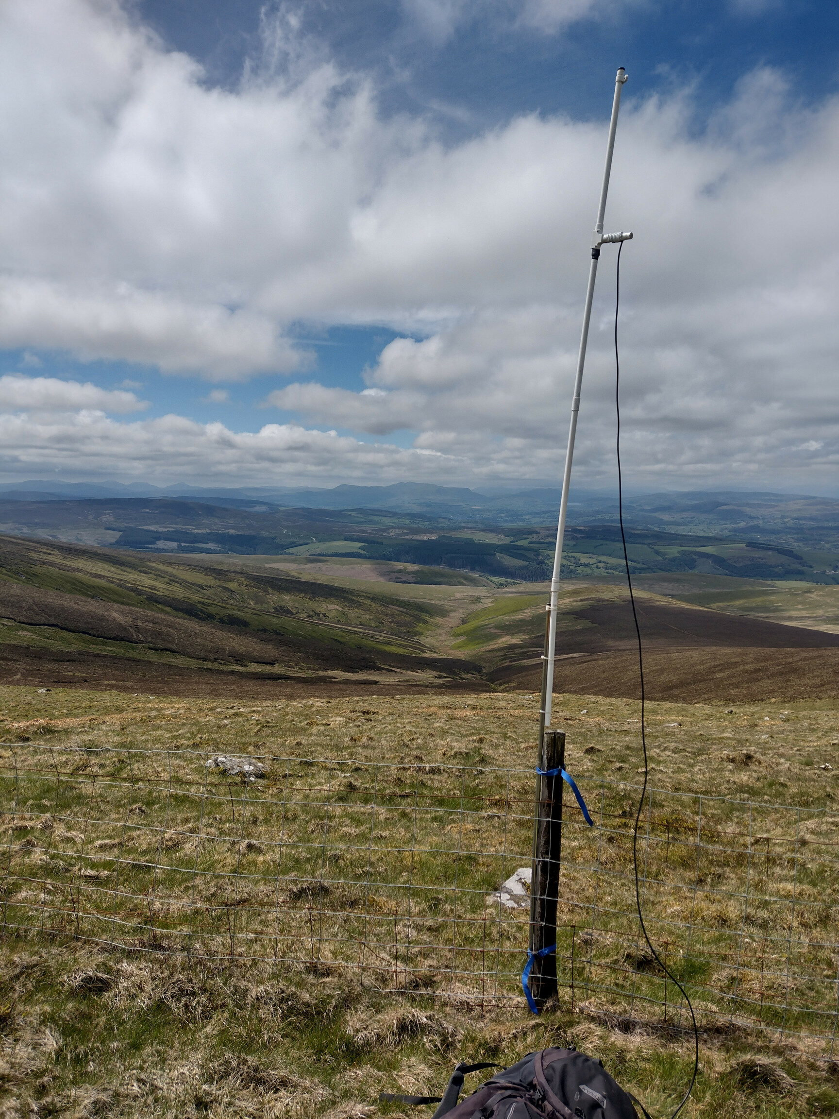
The summit of Cadair Berwyn (actually the antenna support fence just below the summit!):
The heather moorland before me on the descent (part of the largest heather moorland in Wales):

73 Alastair Hopkins, M0TYM