My last and lowest North Wales 8 pointer had been calling me for the past 2 months. Aran Faddwy is located about 15km South of Bala in a very picturesque, quiet part of North Wales and only just over one hour from my base in Chester.The mountain is in the middle of a ridge aligned North South. Some research suggested it is usually climbed from the Northern end, a distance of 20km return. I was planning to approach from the North, the Western flank looked like another option, cutting the distance down to about 10km.
Two routes presented themselves. The first was the more Southerly and commenced on the A494 at Esgair-gawr,following a footpath that is visible on “good old” Google Earth, turning North at the ridge to reach the summit one km further. a total distance of 6km each way.
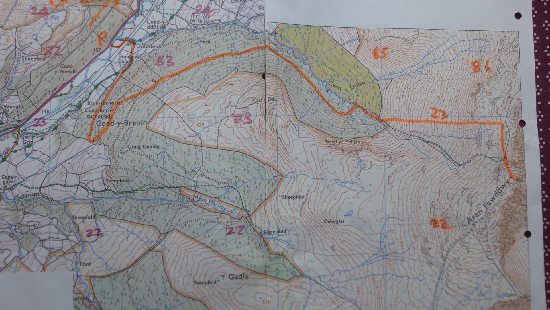
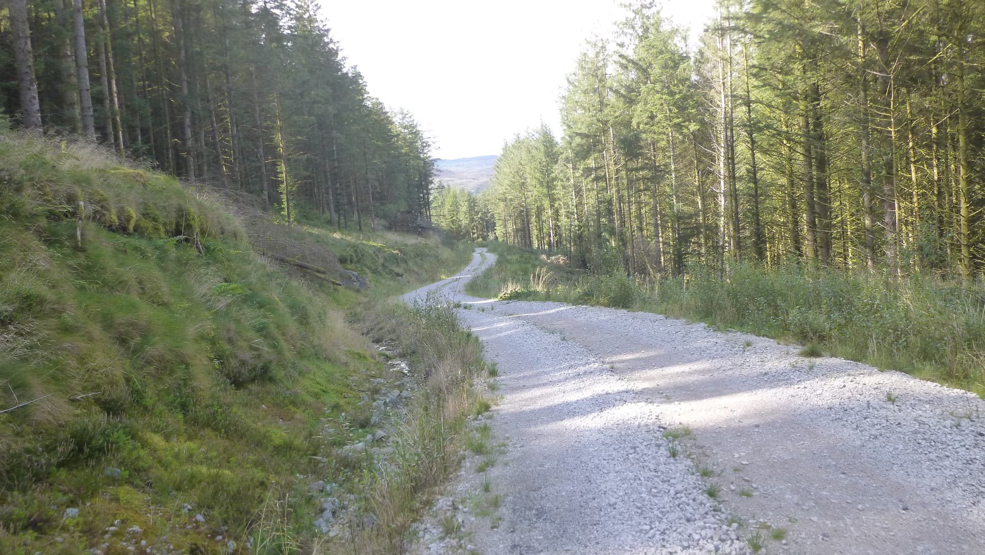
The second route left the A494 at Dolddeuli and followed the forestry access road to the head of Cwm Dolau, only 1.2km from the summit. I crunched the numbers on a spread sheet and came to the conclusion that with the aid of my mountain bike the forestry route was quicker and had the added attraction of a 4 km down hill dash at the end.
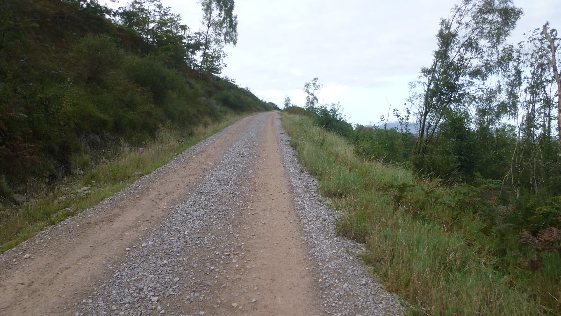
I checked the route out on Google Earth, those nice people had even taken their vehicle camera right up to the Cwm. At the highest point on the road I planned to leave the bike and walk up a visible forest ride, leftover from earlier logging. This is an active forest, and a private road with 8 wheeler logging wagons in hot pursuit so although I could have driven the 4km I decided to bike up and down. The only invisible part of the route was about 100m in new forest before ascending the open fell. What could possibly go wrong?
I left Chester at 0720 and drove down to Bala. I parked up at SH825234 at the end of the public access tarmac road where there is ample parking space. Having checked the equipment and assembled the bike I set off in bottom gear at a steady 6km/hr.
40min later l stowed the bike in the forest and proceeded up the forest ride on foot.

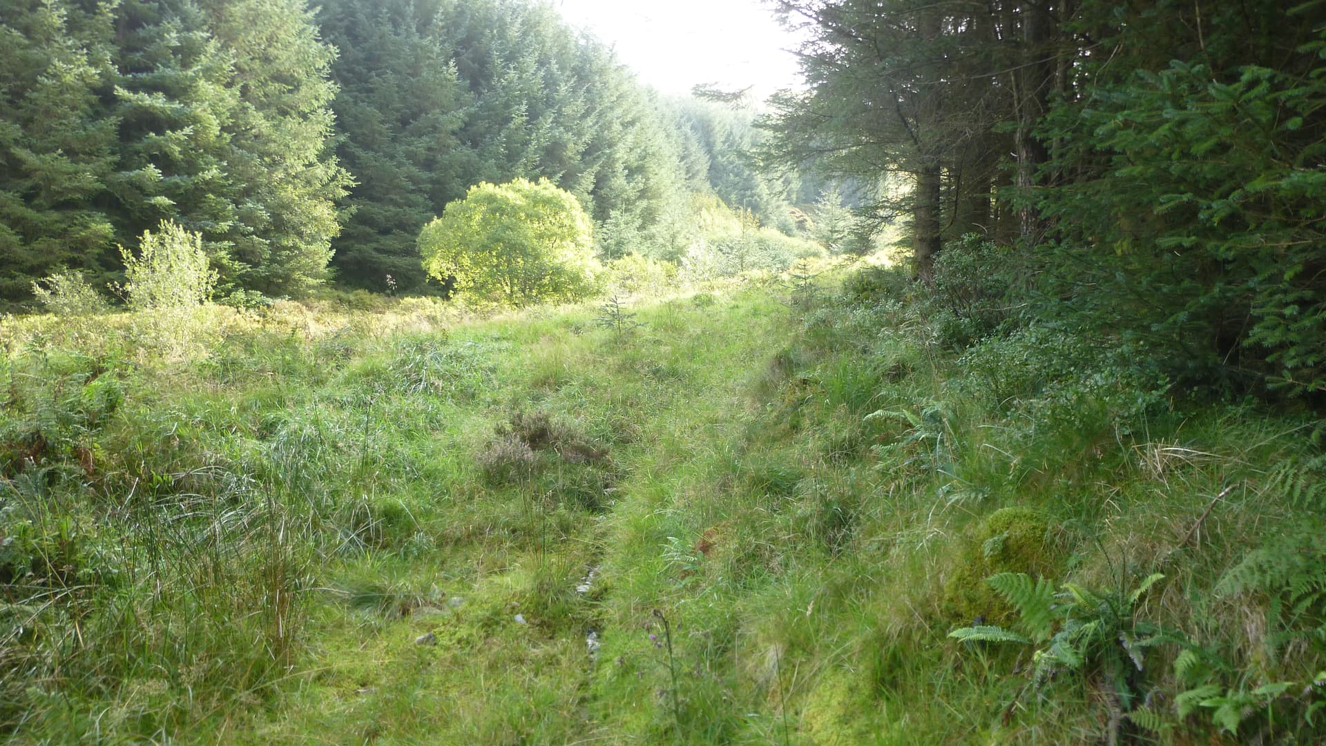
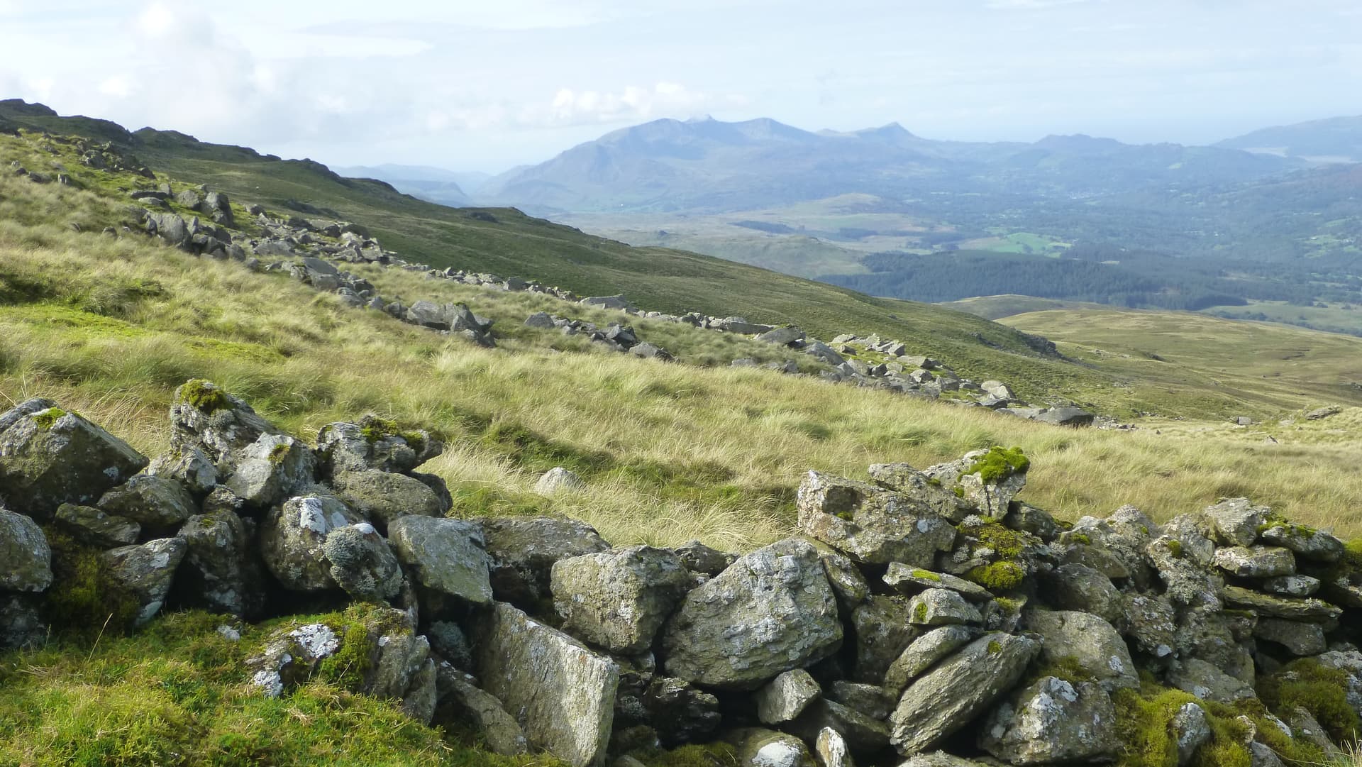
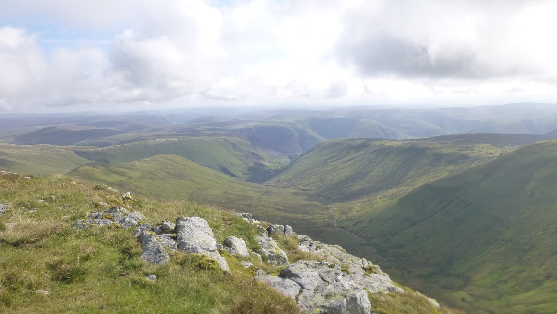
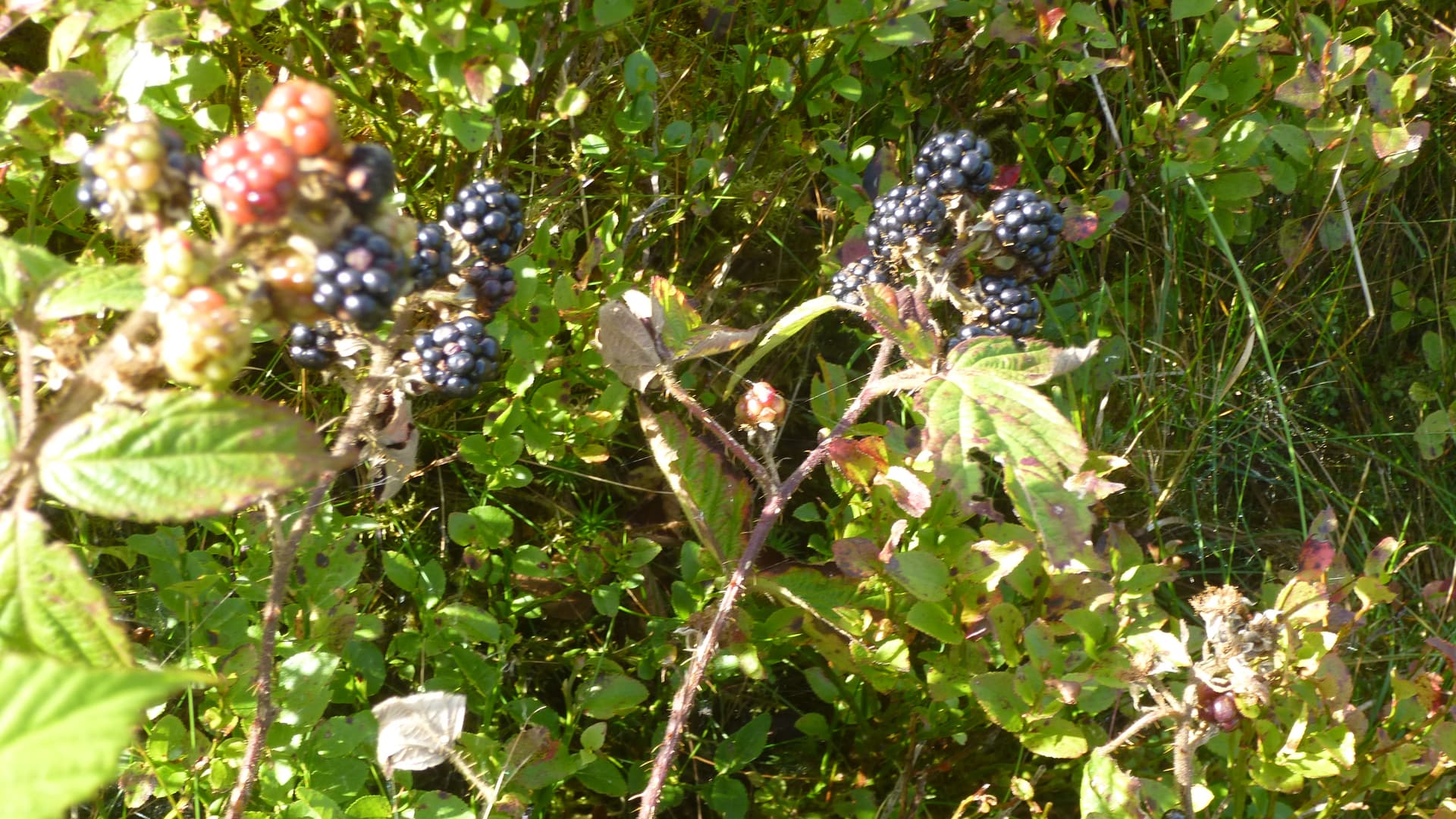
As I expected the ride terminated with 50m left to the open fell. This was an unpleasant experience, The brambles kept tripping me up and the brash was 6ft high. However being September the Blackberries were plentiful and very tasty. 20 minutes later I was on the open fell, a steep but steady grassy ascent. I went due East then turned South following the fence to the summit.

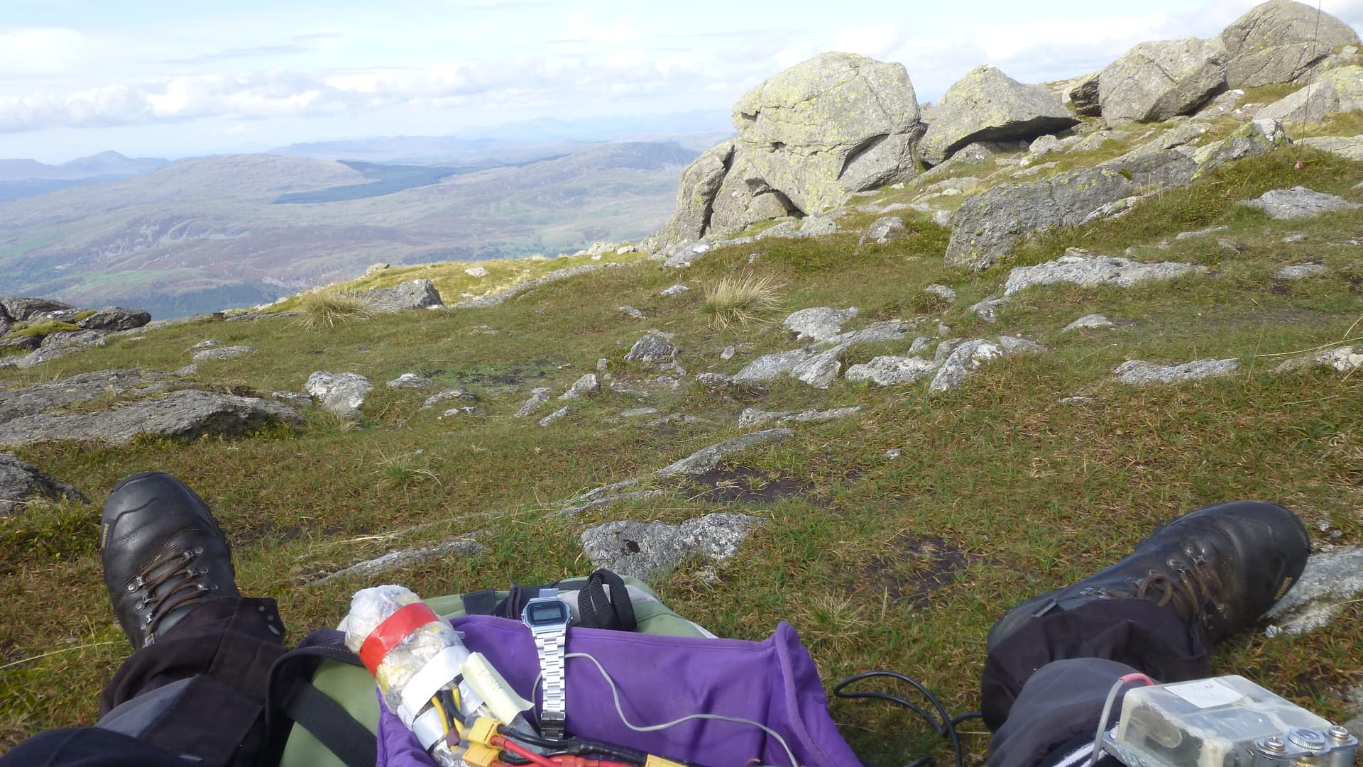
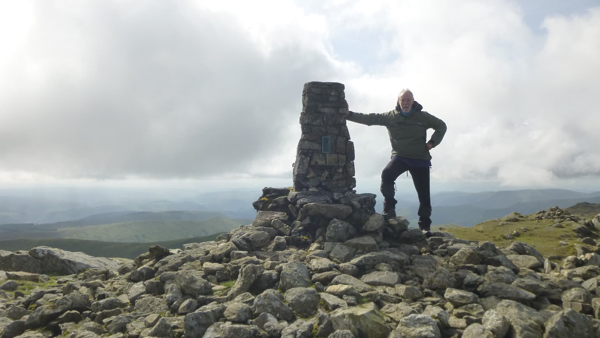
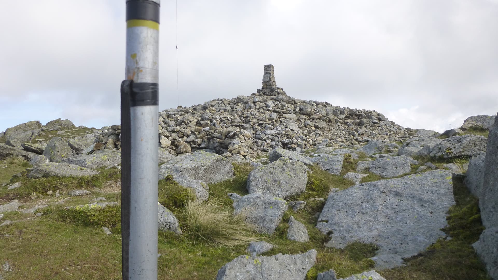
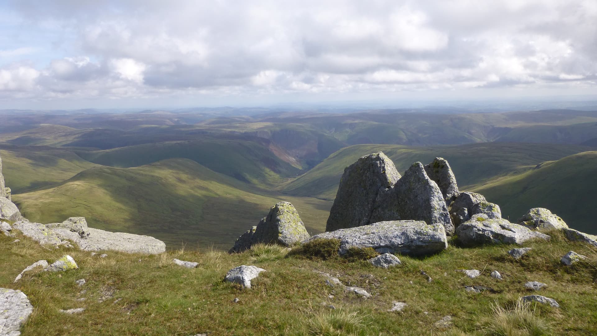
On the summit I set up my pole and link dipole.The wind was light and pleasantly warm.
Conditions were poor on HF, I was aware that we had had an aurora and the K index stood at 2. I achiever 26 QSOs qualifying on 3 bands, 40, 30 and 20m. No takers on 60m and one S2S. I returned to the Cwm by following the fence down, there was a trace of a path down most of the 1,5km. Then a second 20 minute battle with nature.
and I was back on the road.
Fifteen minutes later I was back at the car. Good day.
As always thank you to the chasers.
David
GW0EVV/P