Grabbing a weather window…well nearly
Saturday 30th October and I found myself with a day off work. A day that fell in the middle of several days and waves of rain that were crossing the UK. I’d been studying the weather for a couple of days and it looked that I may be able to get half a days decent weather towards the west coast by driving into and through an incoming front. I needed a reasonably short hike and nothing too high. Ben Tee GM/WS-112 was the obvious choice.
I nearly didn’t go. The rain had been battering off our cottage roof all night. However a plate of porridge and some tea later and I assembled myself and my kit, setting off at 0650z.
The 108 mile drive over to Kilfinnan on Loch Lochy took me just 2 hours and 15 minutes, thanks to deserted roads and BMW M-Power. True to forecast, I drove through the heavy band of rain and out the other side into grey skies, with the promise of sunny spells later. I would be following the walkhighlands route.
Setting off at 0910z, the climb started immediately, initially up a muddy sheep track and then threading through bracken, aiming to follow some torturous route (from walkhighlands) programmed into my phone mapping. The path I was looking for was quite faint and hardly discernible from the many sheep tracks.
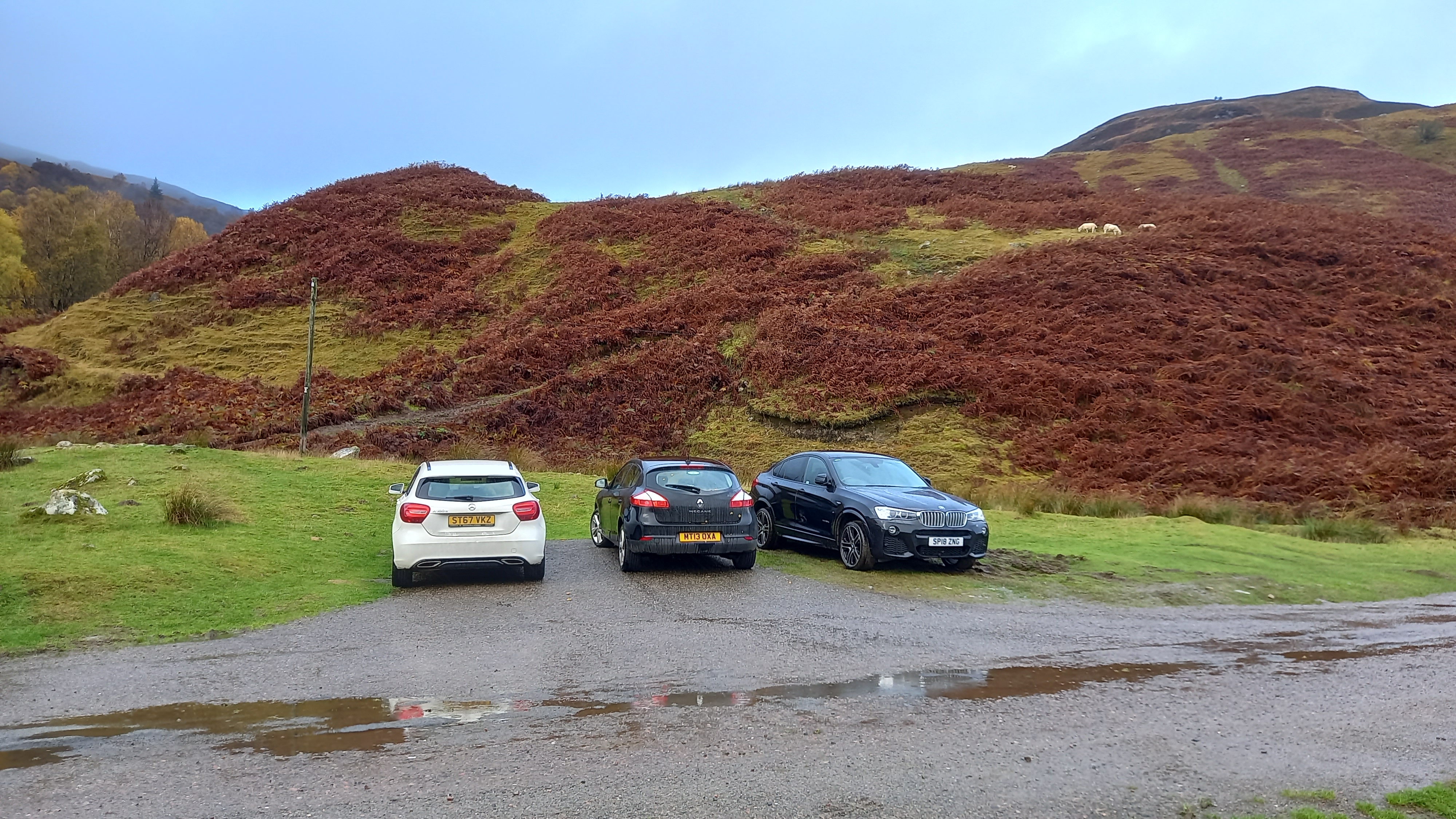
Park on the grass, not the turning area

It’s essential to follow the route exactly as described in order to pick up the correct path
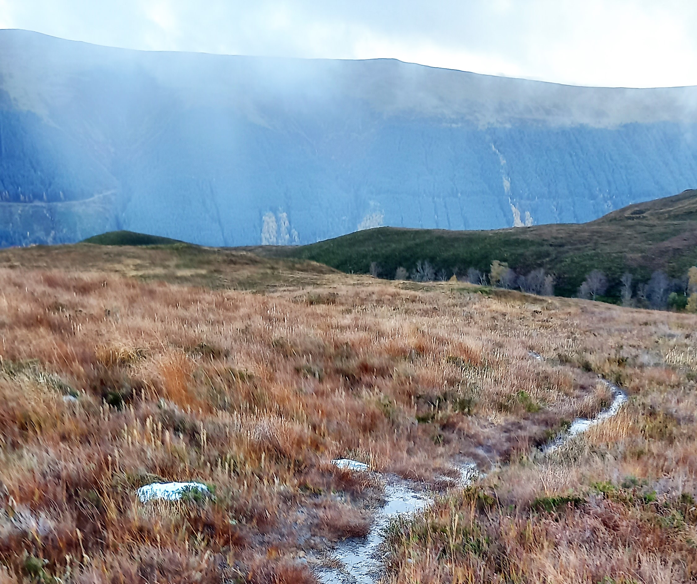
I was soon up the mound pictured above and contouring around it, high above the gorge. My first view of Ben Tee came into sight. It looked very high, rough, steep and far away.
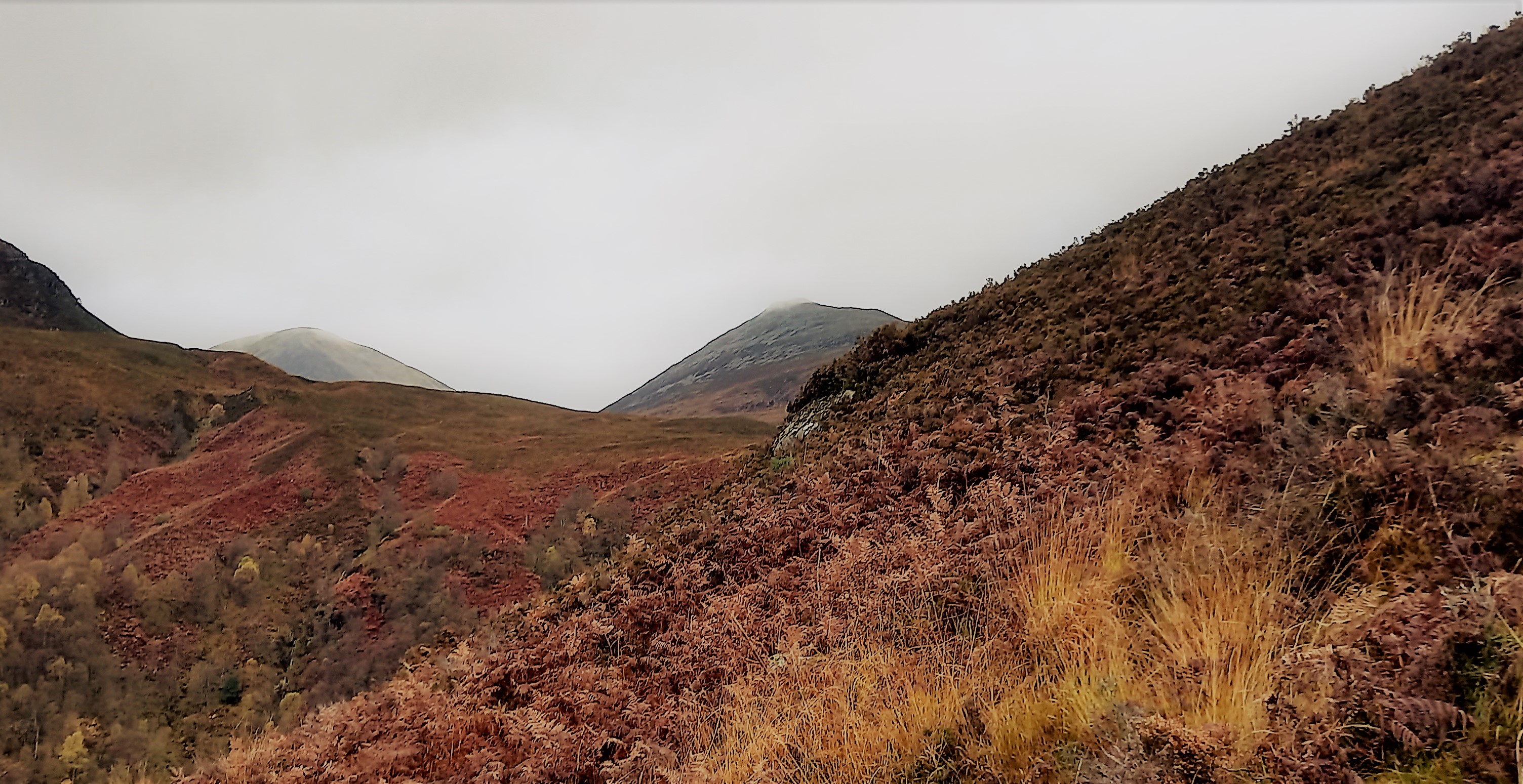
Ben Tee, centre picture
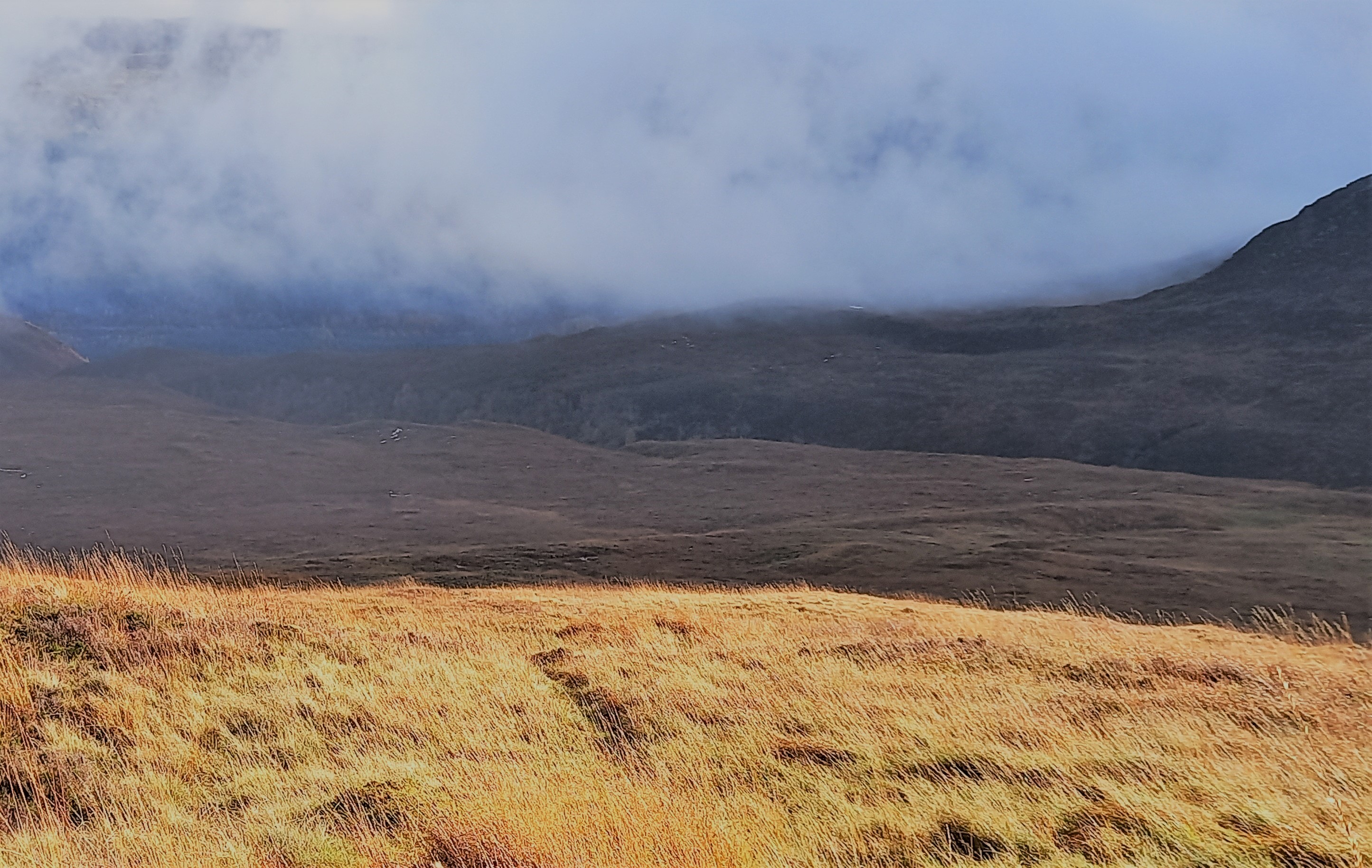
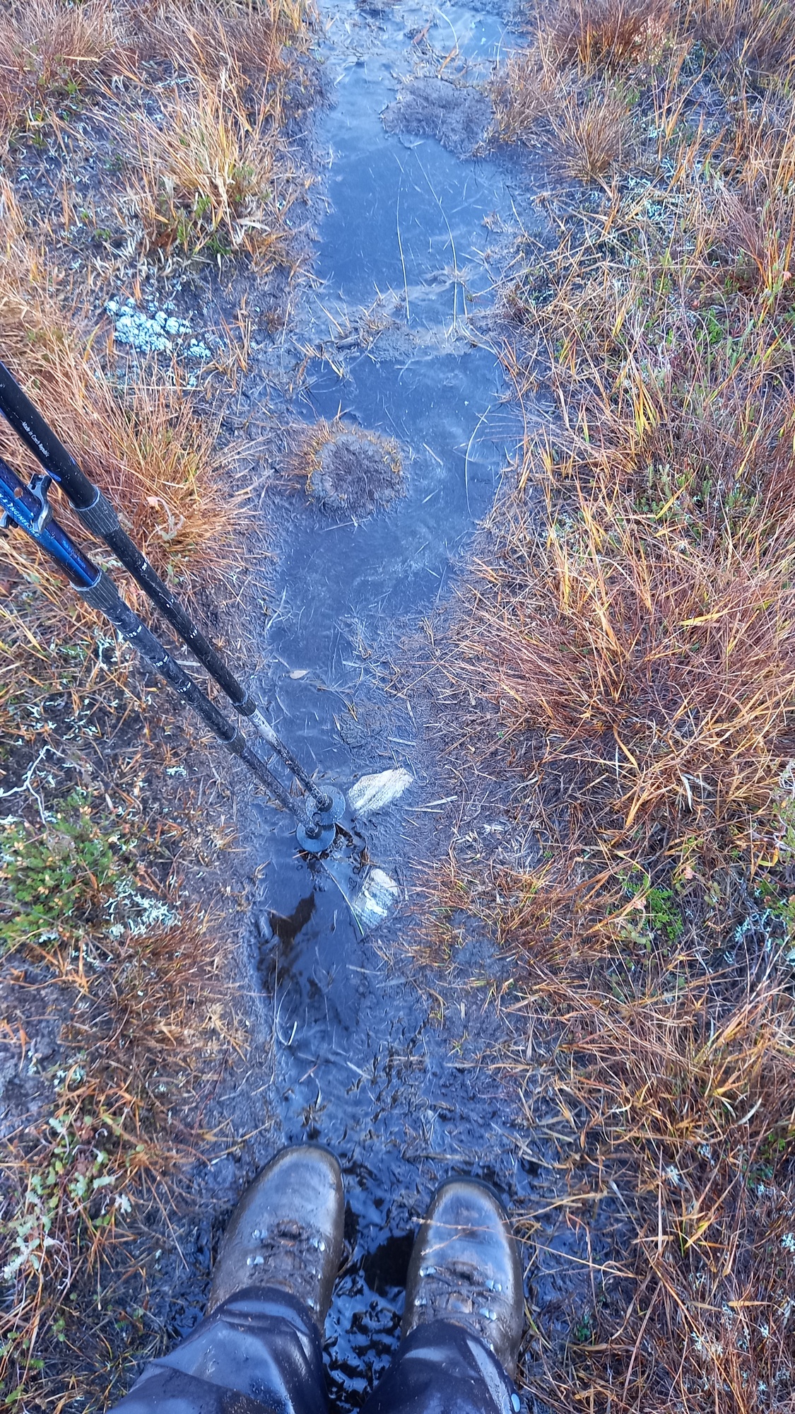
The path continued across some streams and eventually across a grassy area before starting to climb up to join the east ridge of the mountain. I was expecting really rough ground, as Walkhighlands really talk this one down. Ok, the path was wet and boggy, but everything in the UK would be that day. In the summer, it would be a reasonably dry earthy path through the grass and heather.
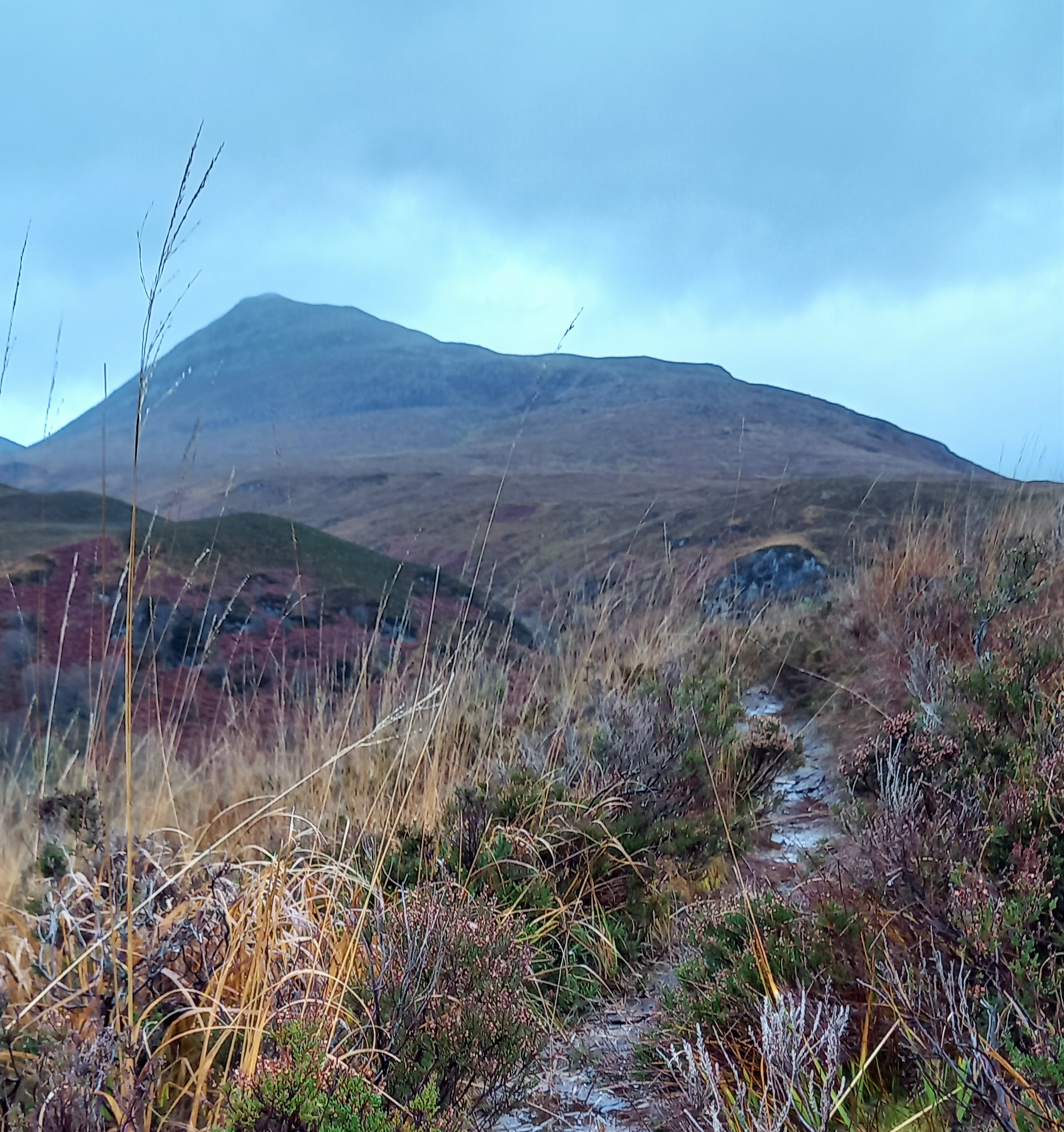
The wet hill path
My legs felt like lead as I climbed the only grass tussock section to gain the ridge. Probably the soft ground taking its toll. I’d expected the ridge to be rocky, but it was mainly of grass and it continued like this right up to the summit slopes. A shower passed over. I arrived at the top at 1050z.
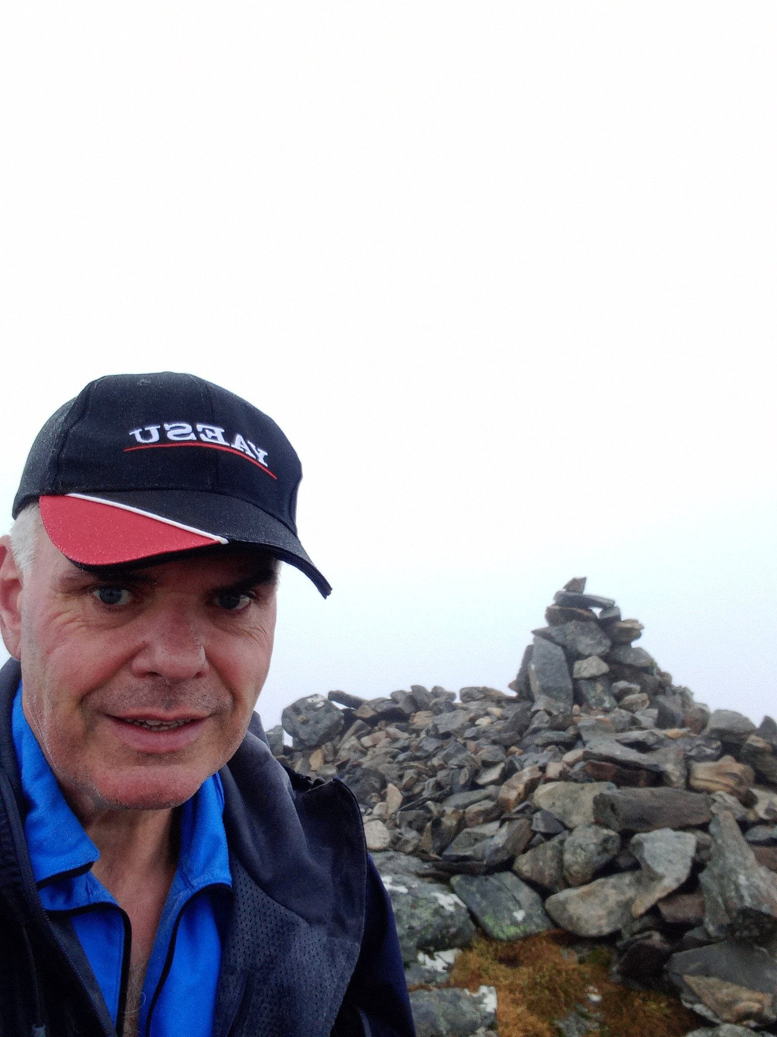
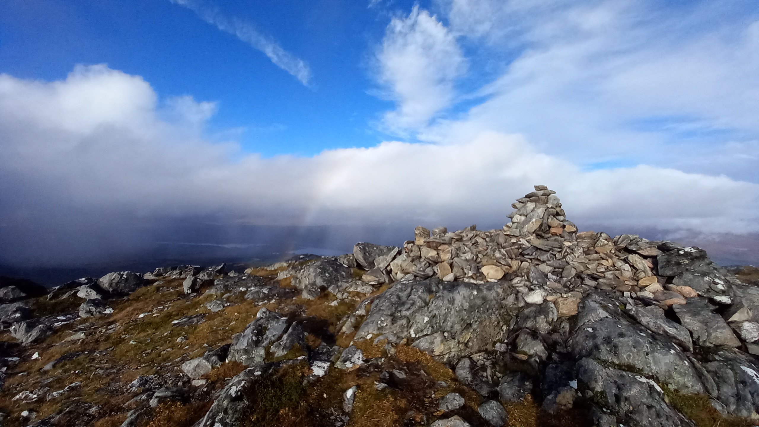
At the top of Ben Tee GM/WS-112 - grey skies all around
The summit area was quite pronounced, however there was a broad grassy area over to the west side. That’s where I decided to set up my station. That consisted of my KX2 and a W3EDP strung across a 7m mast, inverted V style. It was strung south to north.
I’d just got the final connections made and was sitting down ready to get operating, when the heavens opened. I had no choice but to pull my Bothy Bag over my head from my sitting position. This was not ideal, as I was now sitting bolt upright on a side slope, side on to the wind. I had no feeder, so couldn’t re-orientate the radio. Great!
Tuning through 20m, it sounded like 40m does on a Saturday afternoon! Lots of contest stations had leaked up to the top end of the band. I had suspected that I would be using 17m today and that’s how it turned out!
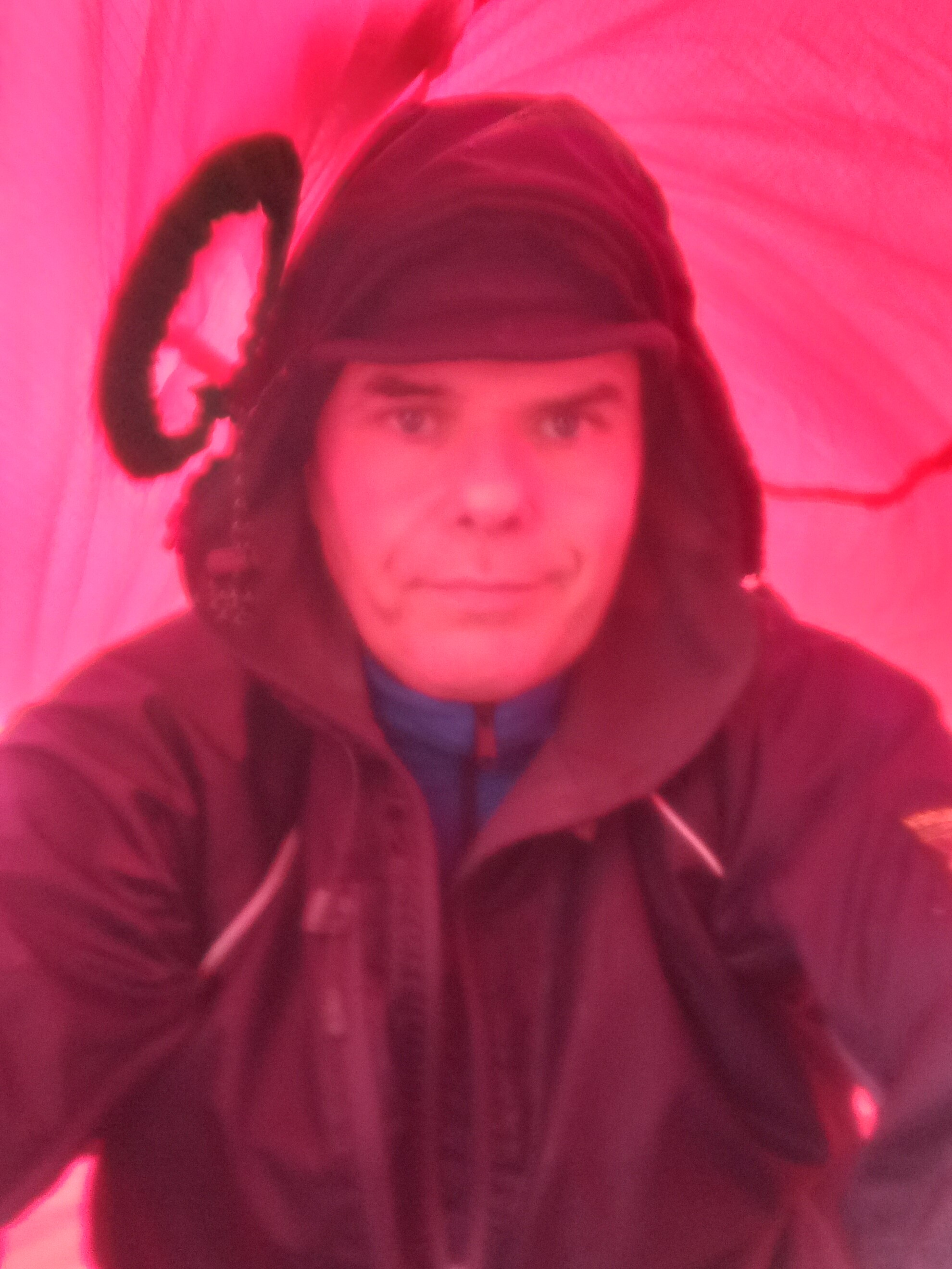
Enforced refuge
17m was working well, particularly down to Spain. With 12 stations in the log (six of them Spanish) things died down and my subsequent CQ calls went unanswered. I could hear a couple of NA stations, however with deep fading.
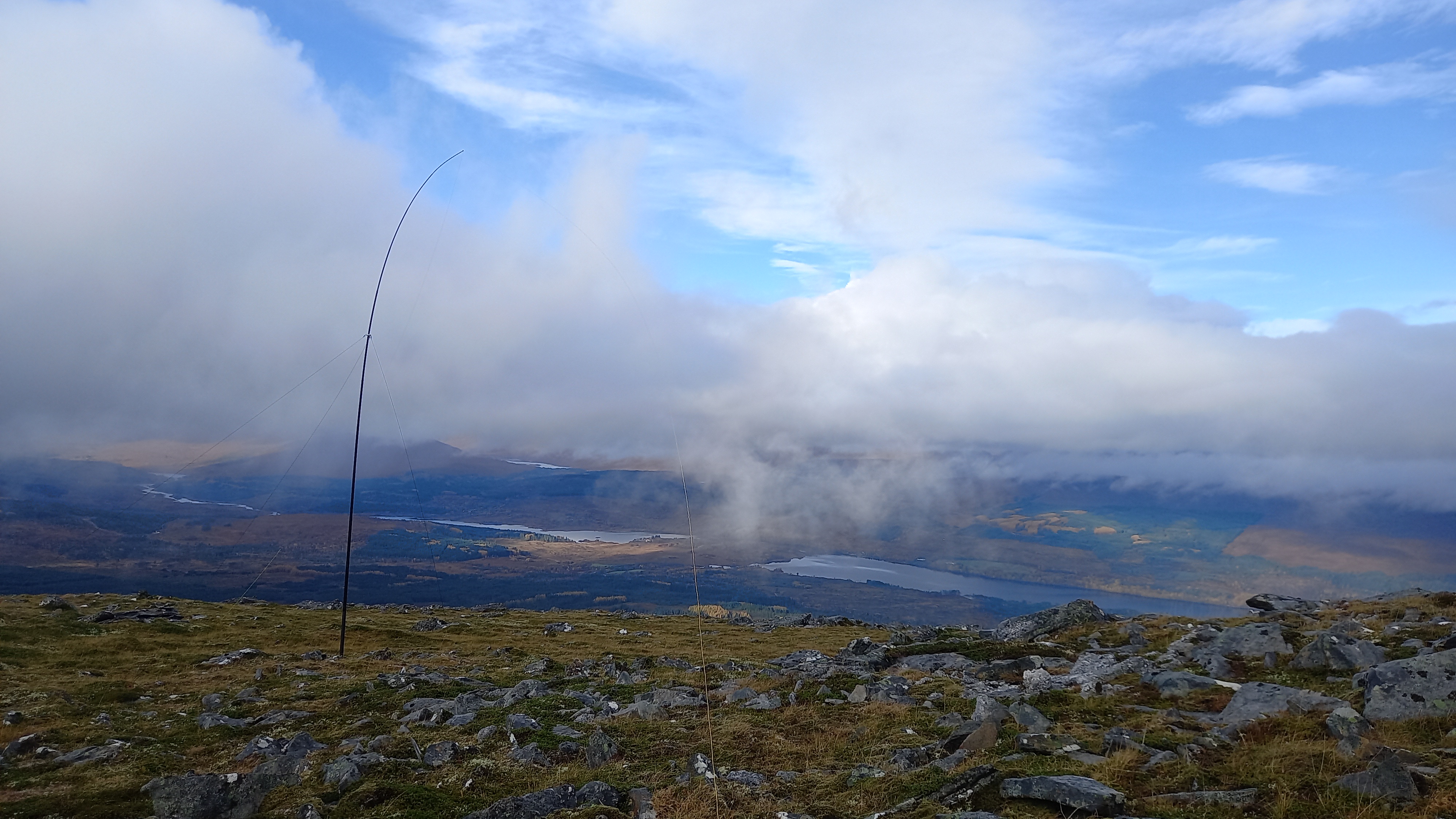
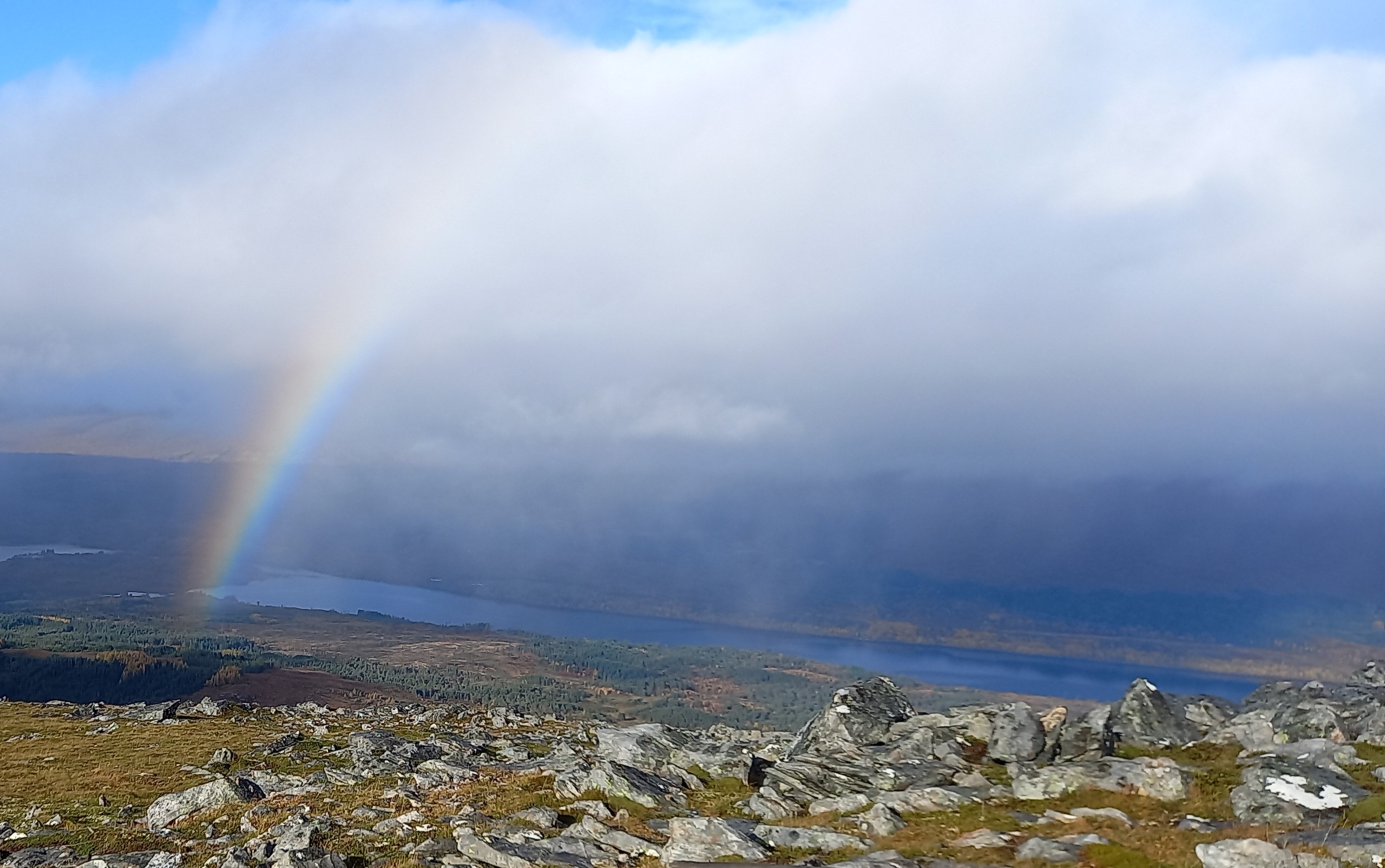
When I came out of my cocoon, I was met with a rather pleasing sight.
The wind was bitterly cold however, so I wasted no time in packing up and then demolishing every piece of food in my bag. I departed 1201z.
The walk back down was as wet as ever underfoot, but much more pleasant, despite the occasional short squall.

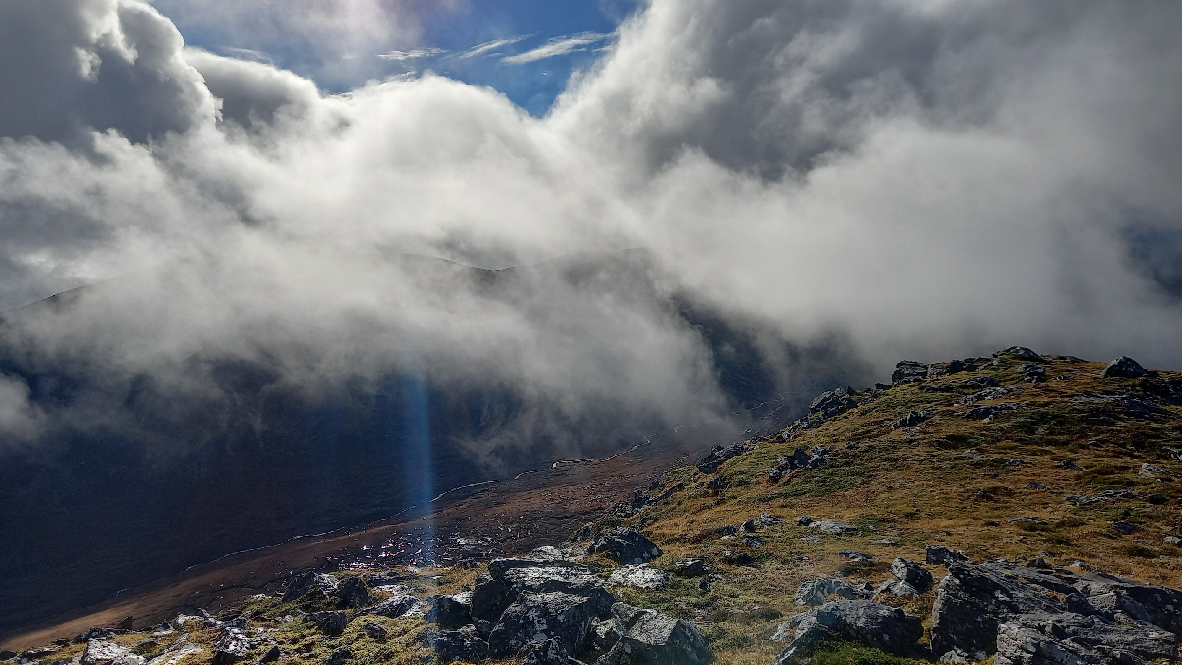
Sron a’Choire Ghairbh GM/WS-092

Loch Lochy awaits below
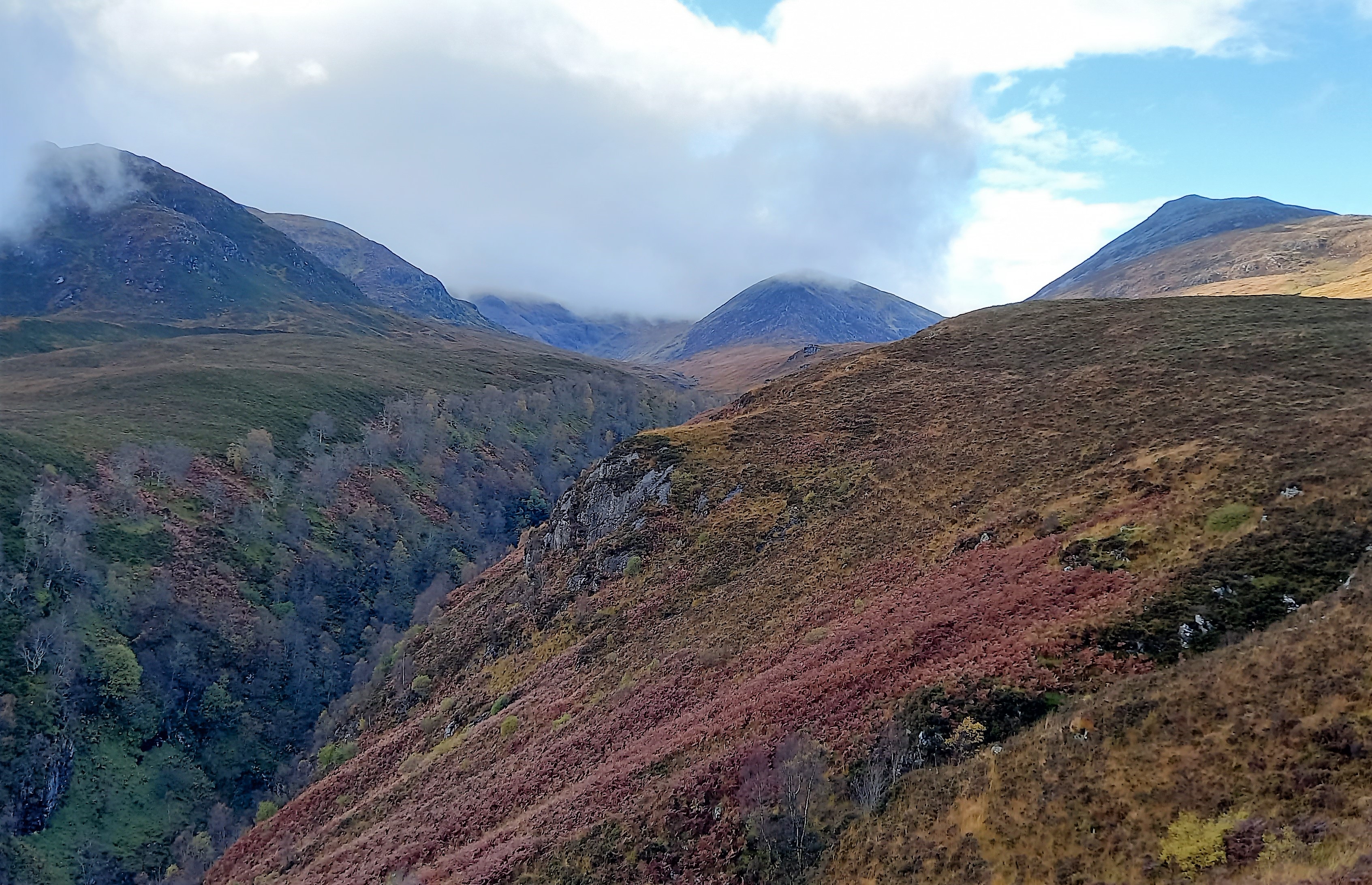
Ben Tee to the right of the river gorge
I was about 200m from the car when another heavy shower started. Just as my gear was drying off in the breeze…
I was down by 1311 and on my way home soon after.
A bit about my gear and how it handled the WX.
Boots
Last time I was out, Mo had waxed all of our boots. I had wet feet in no time. On our return, I cleaned them off and liberally soaked them in Nikwax (liquid). This time my feet remained dry.
Clothing
Paramo throughout. First time for a long time. I started off with just the mountain shirt and the Cascada trousers. The shirt is slightly fleecy but has loads of ventilation zips. It’s probably too warm for a summers day. The trousers are waterproof and are worn next to the skin. (I wear long johns with these in winter.) They have full length zips, which are partly vents.
When the rain came on, I donned the Paramo jacket, but opened all of the vent zips, given that I was on full charge going up the hill. The jacket remained on for the rest of the hike.
Paramo gear is ideal for this cool, wet and breezy kind of weather. It kept me cool when climbing, warm when stationery and on my return to the car, there was no moisture inside my clothing. Perfect.
In the bag, I also had my RAB lightweight down jacket, gloves, two hats (for some reason & I wore both!).
Summary
Ascent : 5.2km 3.25 miles 1 hr 33 mins, 911m climb
Operating time : 14 mins
Summit time : 1hr 10 mins (I had lunch and took photos while dryng off in the breeze)
Descent : 5.2km 3.25 miles 1 hr 10 mins
Ben Tee had only been activated three times before I rocked up, and not since 2015. It’s beside a main road in the west highlands, so why is this? Well the car park is also the start of the walk up GM/WS-092 & GM/WS-102, both Munros, both 6 points, so a 12 point day out. A much longer day out though. Oh, they’ve only been activated four times each…so there goes that theory.
Anyway, all three are pretty accessible hills and if you’re staying in the area, I can recommend them all, although maybe not all on one day.
73, Fraser

 ?
?