The weather has been lovely up here all week - next week, however less so…
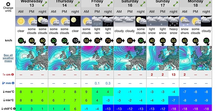
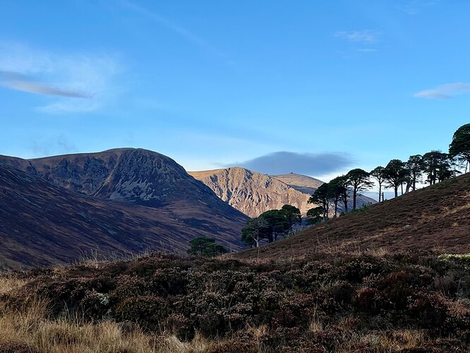
So I wanted to make the most of it, and took today off. Monday or Tuesday were better days but alas I couldn’t make that happen. As you can see the forecast was meant to be lovely clear skies and maybe some cloud creeping in later. Well it was the opposite, with the best weather as I was cycling back…oh well. Here we go:
Last week I did GM/ES-001 and GM/ES-013 on a big bike and hike, and today would be similar. I had debated between Cairn Toul + Braeriach and the two summits today, but everyone told me Cairn Toul circuit was too much, and save that for a summer’s day (or maybe camp in the Corrour bothy at the bottom). They’d all done the route so I should probably listen…and eventually I did. I’m glad, because it would’ve been too long, and the weather wasn’t the best - particularly the wind - and so that wouldn’t have been enjoyable.
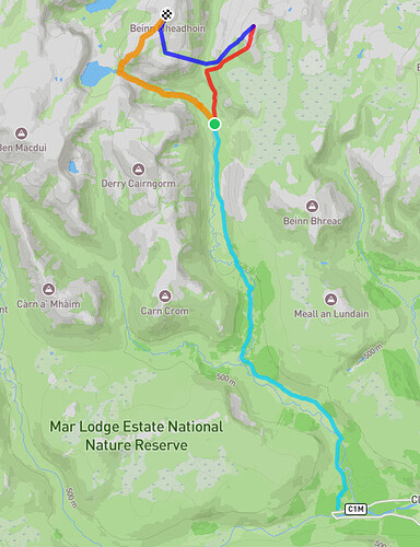
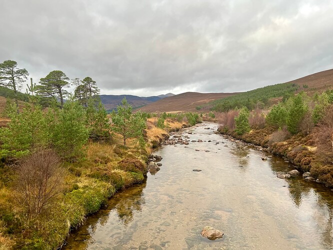
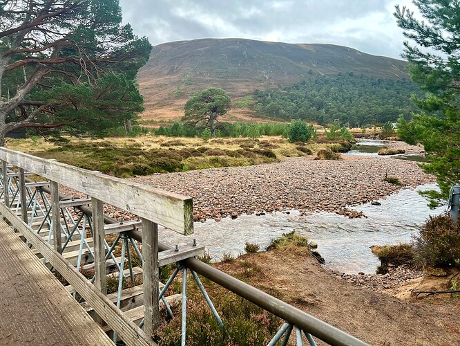
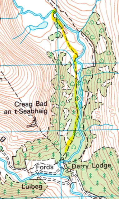
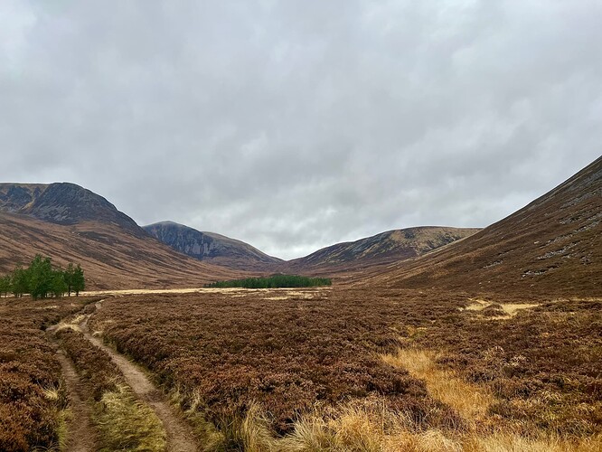
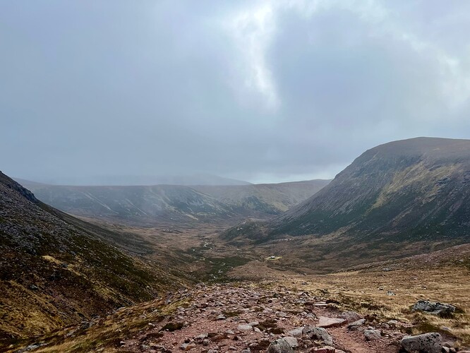
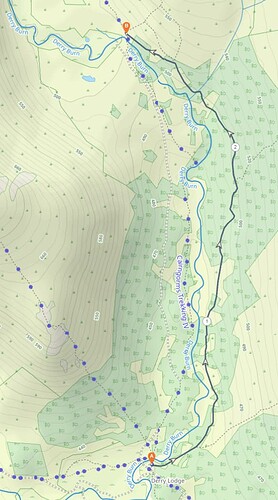
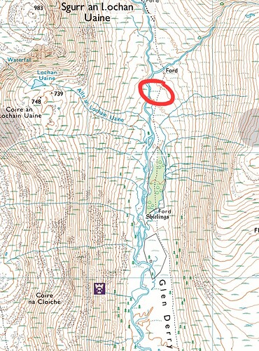
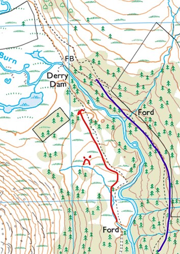
Starting at Linn of Dee car park, around 0830, I cycled on the nice track to Derry Lodge. Here my route would take me east following the Derry Burn up Glen Derry. This section of the track is not great for cycling on, lots of roots, rocks, narrow sections with overhanging heather. It was slow going, much slower than I planned. Once you get to the next bridge and a few 10s metres along it’s much better. Some maps show an ATV track that runs somewhat parallel to this route. I didn’t see the start of it, but wondered if it would be better. Near the bridge you see it, and I did try it on the way back but it was very boggy, muddy and wet, and quick to disappear, so I just stuck to what I knew. The return run is less bad, as at least you’re generally going downhill.
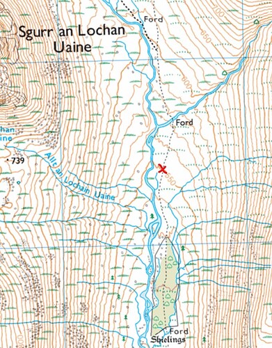
The cycling continues along the track, and once you pass the final wooded area it starts to become rocky and difficult again. I started pushing my bike through the bad sections but they just became more and more, and it wouldn’t save time as I’d have to push it on the way back. So I dumped the bike in the heather and continued up to the Y junction.
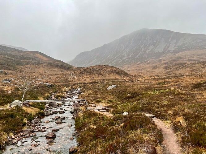
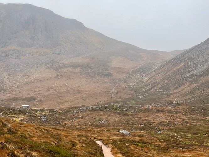
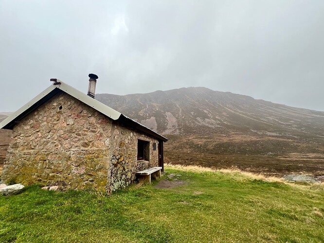
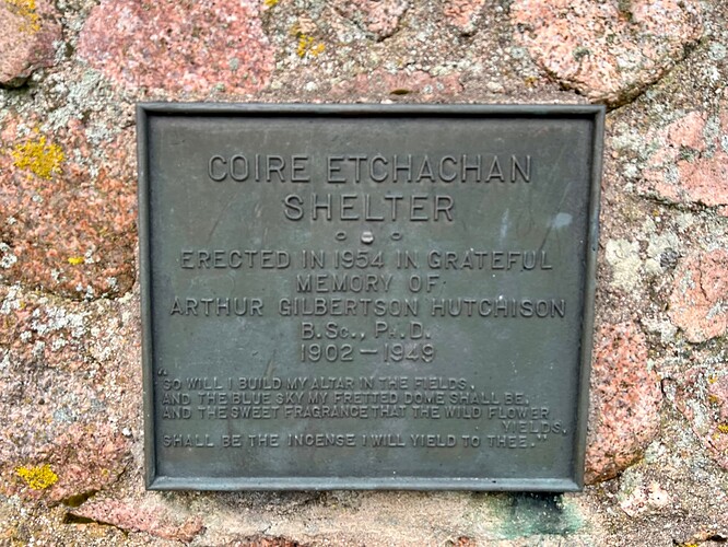
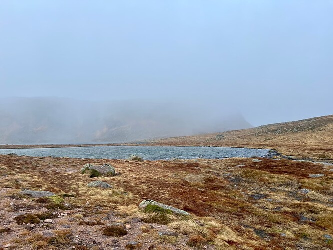
It was about 09:40, so 1-1:10 of cycling. My route was left at the Y, following the Coire Etchachan burn, past Hutchison Memorial hut and to the shores of little loch Etchachan.
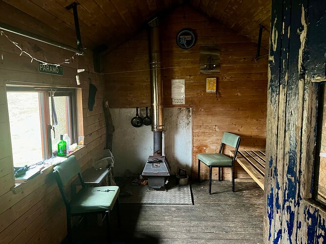
I had a peak inside the bothy and looked through the visitors book. Always interesting the little odds and ends people have left for others. Actually my first time in a bothy, would be fun one time…as long as I remembered to bring firewood!
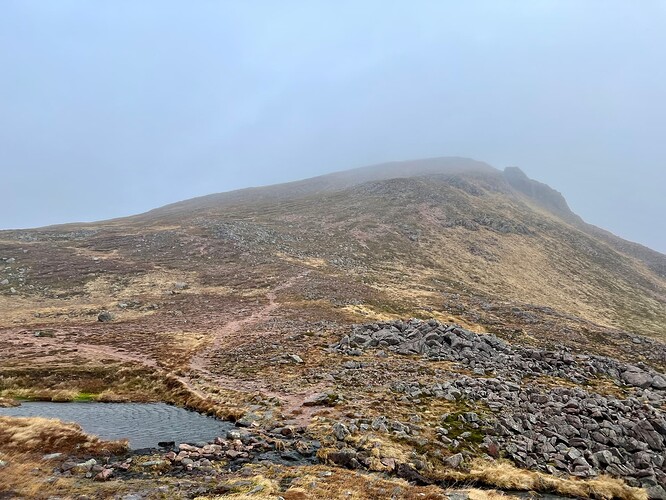
Now the climb really started, and this brought the wind with it. It was relentless, reaching the peak at the top by the Loch.
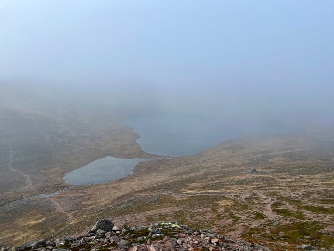
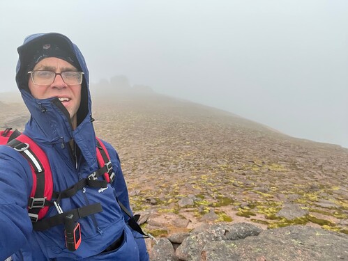
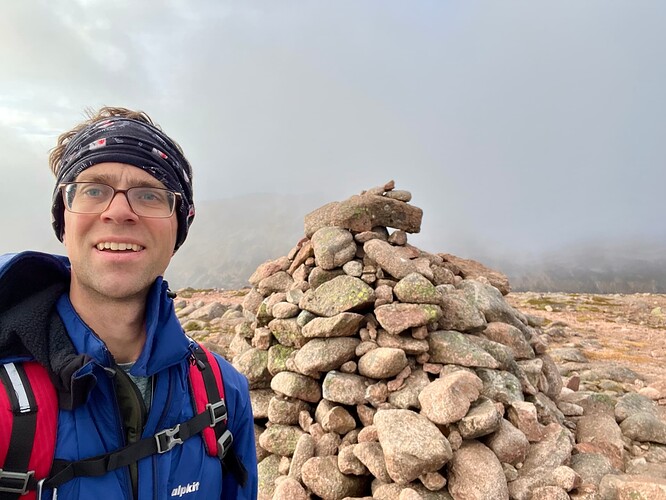
I’d hoped the wind was just strong in the valley, and coming off the loch and that the summit would be better. Perhaps hoping in vain of course. The weather was not the clear skies forecast but very grey clouds, that I was about to be walking through. Not sure if it was raining or the wind just pushing huge volumes of air against me and the resultant water condensing made it seem like it was raining, but I was pretty wet all over.
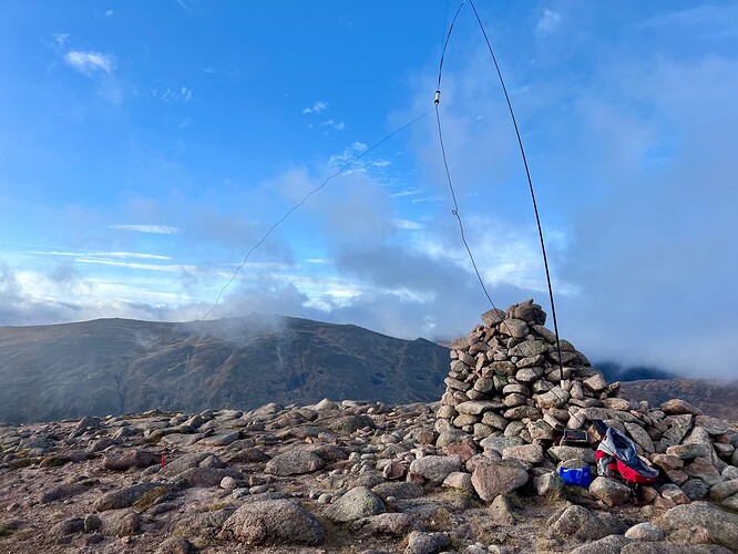
Eventually a tor appeared out of the cloud and I thought I’d made it…looking at my map I realised it wasn’t and I still had some way to go. The next one appeared and I climbed up on top, but that was pushing it in the wind, and so I decided not to climb anymore. I thought the tors would shelter me from the wind but it seemed to come around from every direction and there was nowhere sheltered. I setup the mast and long wire, as I planned to start with 40m. I had the wrong guy ring for the carbon 6 and so it kept sliding all the way down, plus the peg into the wind kept lifting. I ended up putting three of the guys into the wind, plus pegging down the wire into the wind and it reached some equilibrium and held in place. It did remind me of the wacky waving inflatable arm flailing tube men.
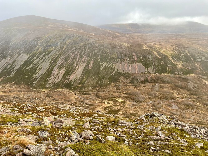
40m wasn’t great, lots of QSB and I didn’t hang around long. Packed up and headed down into the Lairig an Laoigh. The sun was starting to peak through and once I was on the descent the wind abated. I took quite a direct route down, which was very steep and probably not the best route, although not sure where would’ve been better.
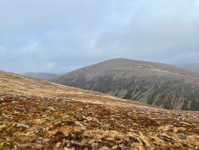
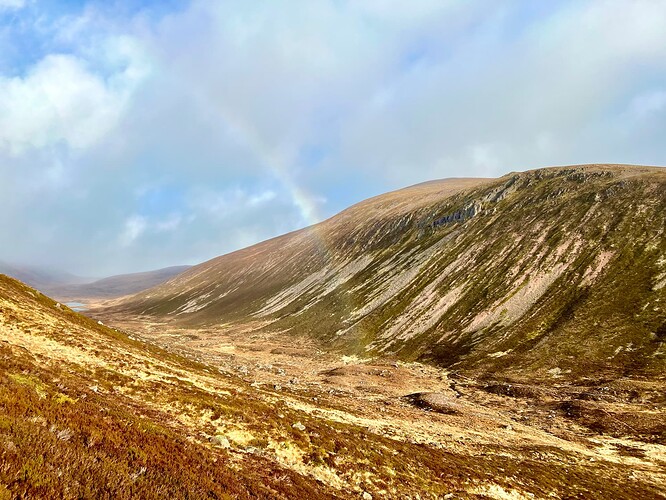
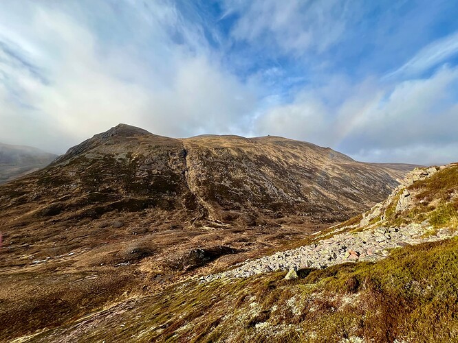
Down and then back up. It was now about 1230 and I was a little behind schedule, but enjoying the sun and rainbows. I looked back over to Mheadoin and, typically, now it was in the sun too!
The climb up Beinn a’Chaorainn starts quite steep with loose gravel but soon turns into a nice climb, aside from the boulder patch, but you can mostly work around it. As I got higher the wind picked up again. The summit cairn didn’t look very impressive, but actually offered decent shelter and I was quite comfortable behind it.
This time I tried 20m and the band was much more enjoyable, with a strong signal everywhere between south of England and Greece around 1,700 miles away.
@MW0CBC was on his way up Ben Tinnes, GM/ES-021, and by the time I was done with HF he was just setting up there, so we had a nice 2m S2S.
It was 1345 and I really needed to be back at Linn of Dee by 1530, to get home in time, so after getting distracted taking more photos, I hot stepped it back down and retrieved my bike. A reasonable number of other cyclists and hikers out, I didn’t meet any on the summits but along the main routes. It seemed now was the best weather of the day and plnety to enjoy as I cycled back.
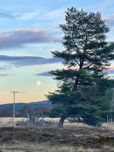
Back at Linn of Dee at exactly 1530, and then the 1.5 hours drive back to Aberdeen. There was a huge moon and the road back to Braemar offered some lovely views of the moon between the trees and hills, together with the start of the sunsetting, my potato photo doesn’t do it justice.
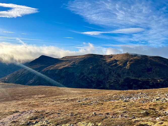
Another big trip, probably the last of this year, unless there’s a December heat wave, and two infrequently visited and activated summits. It’s hard not to be biased by the weather but Beinn a’Chaorainn was my favourite today. When the clouds cleared I could see over to Beinn a’Bhuird area, down to Beinn Bhreac and big sweeping expanses of hillsides. It would’ve been nice to have been on Beinn Mheadhoin when the cloud lifted to see across to the west, and probably that would’ve been more spectacular. I’ll be revisiting them both next year, hopefully finding a day with clear blue skies ![]()
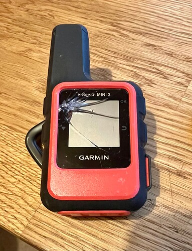
There was one injury today…my inreach on a rock on Beinn a’Chaorainn…let’s see how much Garmin charge to replace it… ![]()
