There’s already been discussion of the poor RF conditions as a result of the solar flare see The Sky Is Crying.... and the issues people faced.
Once I got to MG oh back in 2012, I was less motivated by the points and more by doing summits that look interesting in some way that hadn’t offered enough points per £ spent etc. But along the way you get wound up with S2S and uniques and completes. The activator points matter less but the other things do. SOTA life was good. Then came COVID. After the lockdown it was good to get out just to local hills.
Lockdowns came and went and it took me a while to realise I was a bit reluctant to venture far and wide and seek new summits. I did a few but everything had to be perfect, good weather, waking up and wanting to drive, walk, activate etc. I didn’t think about it but it was easier to think “ah it might rain, I’ll go in a few days time.” Sure I did uniques in 2023, a group with Paul W6PNG, some on a family holiday, one real adventure (well we crossed a river) with Gerald G4OIG. But all the time I was thinking subconsciously how to get out of driving far etc. But towards on 2023 with 500 uniques being almost in reach I decided to just get on with it and get back into doing new summits.
I managed 3 new ones quickly then the WX and other family stuff limited activations. But I’m back into it. Currently I’m targetting the Luss Hills and I have 2 ES summits to do for when I get bored driving through Glasgow. Blackpool Rally is soon and if the WX is OK then I have 3 maybe 4 uniques in G.
Last week I did Beinn Bhreac GM/SS-081. It’s classic of the Luss Hills, damn steep and boggy as hell. They’re all like this to some degree. As Gerald said when he looked at the map “wow, that’s steep” and it was. Today’s was a not as steep and not as boggy. The keywords being “not as” it was still steep and boggy though.
There are two hills Bein a’Mhanaich GM/SS-066 and Beinn Chaorach GM/SS-062 which can both be climbed from the A817 Glen Fruin Haul Road. Sometime you do them as a pair from the reservoir access road. On its own, Beinn Chaorach is a 9km round trip with 590m of ascent. To tag on the other add another 350m of ascent/descent. I don’t think I’m back up to my pre lockdown fitness for both. Sure I could do it I had to but it wouldn’t be fun. Parking is a bit limited for both hills 4 spaces on the reservoir road, 2 by the gate to the track for Beinn a’Mhanaic and 3 maybe for Beinn Chaorach. There are a few other “maybe” places. With that in mind I was not sure which to do, I thought I’d sniff out the parking which would decide the hill for me.
With MWIS being accurate for once last week, I checked again "70% cloud free Munros, cold North wind gradually dropping, windchill -5 to -10C at 900m. Hmm well I’l be at 713m but better take 2 fleeces again with the Belay jacket. Now as we reach solar maximum, the sun is a bit unstable, check NOAA SWPC and oh dear, X class flares much buggeridge of the ionosphere, well we can hope some bands may have recovered when I got to the top but I made sure I hade enough 2m gear with me for 2m FM as the hill overlooks a good part of Glasgow.
There less traffic early in the morning on a Sunday so need to be up early, I left the house at 7.55 and the roads were quiet. I got to the parking and was booted and kitted by 8.50, 40mins ahead of my must start time. For Beinn Chaorach, there is space for 3 cars at the mobile phone mast by Ballyvoulin Farm. A path starts over the road from here. Easy peasy lemon squeazy.
WX? Bright blue sky and hardly any wind. It was going to cloud up later in the afternoon but even if the sky was not going to play it would be a good walk which would make up for things somewhat. There is something about being in shapely hills on a good day that lifts the spirits massively. There are two gates across the road, one almost opposite and one 100m down the road. Through either gate and up over the field which of course is quite squishy, well of course it is. Aim for the top of the woods. At the fence there is a gate and style. Over that and you can see an ATV track going up. Follow that as it goes right to the trig point at the top.
The first field isn’t steep but it gets steep after that. There some fine soft bits… ah just like last week ![]() Any the only way is up and some 40mins later I was at Auchengaich Hill having climbed about 300m. What’s nice is it levels off for a bit now.
Any the only way is up and some 40mins later I was at Auchengaich Hill having climbed about 300m. What’s nice is it levels off for a bit now.
The view back after 40mins of climbing. Yup, that is a Scottish sky with no clouds ! The hill on the right is The Fruin GM/SS-240
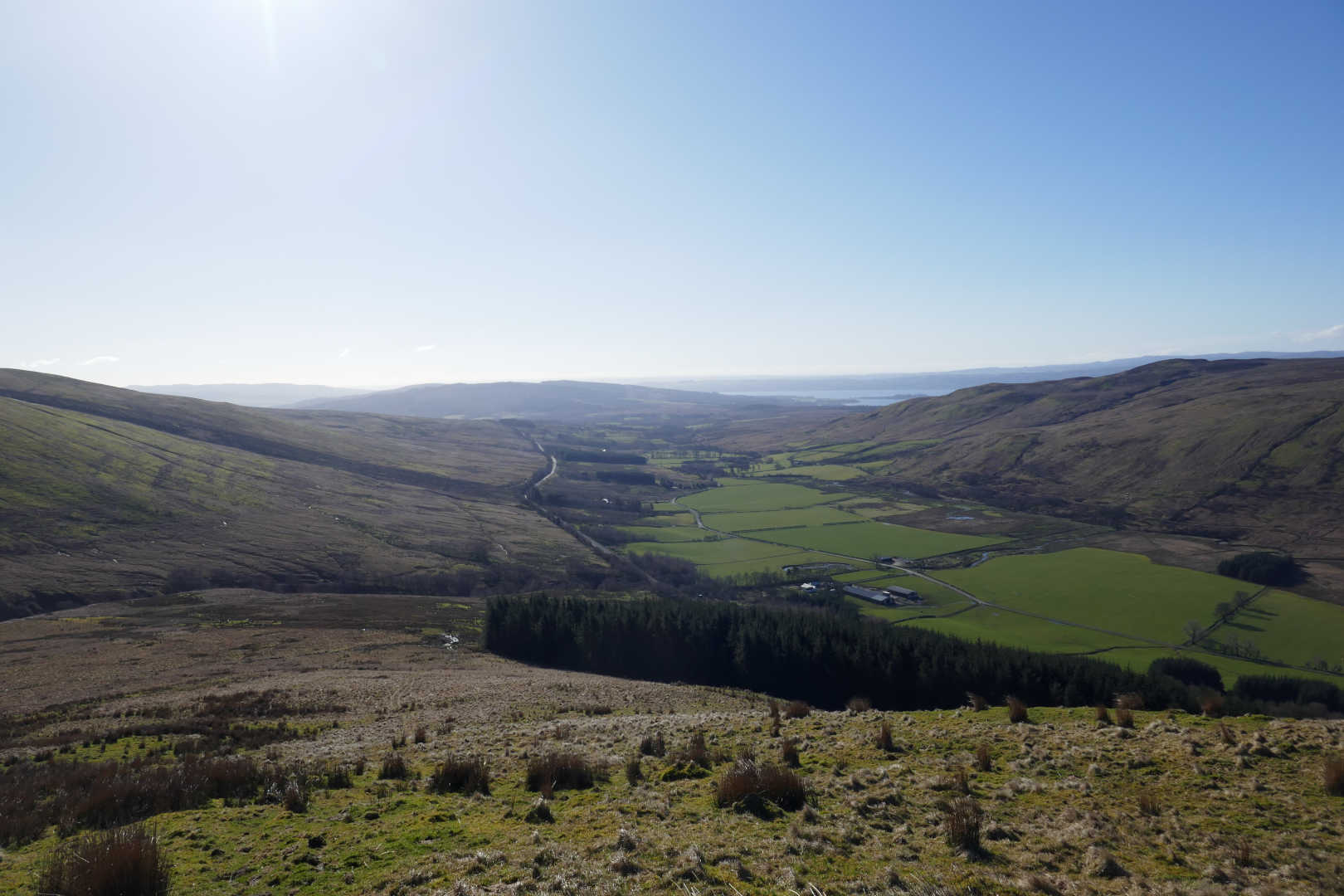
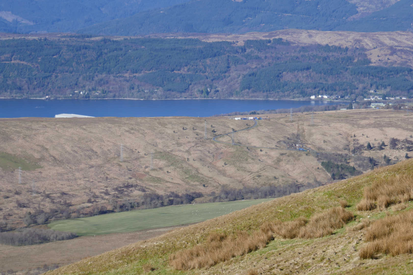
Looking West into Gare Loch. You can just see a building at Faslane naval base. The road in the photo is Glen Fruin road which is closed till 2025. Lots of machines, huts and it looks like a temporary quarry. I’m not sure what roadworks are going on but it’s more likely to be work for the army training area. But it’s all concentrated at the startof the track for The Fruin ![]()
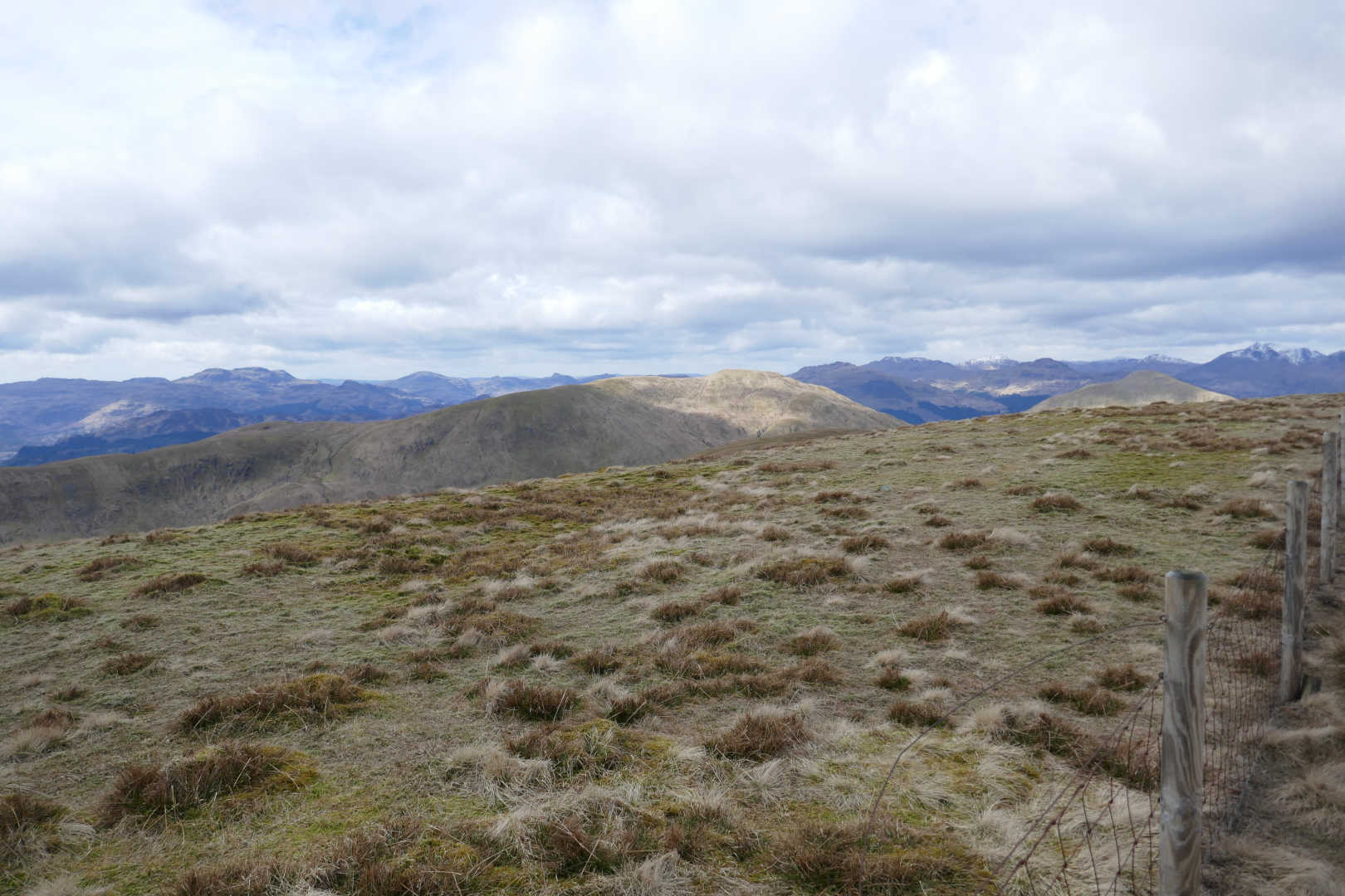
The view onwards… reasonably level, Beinn Tharsuinn is the next hill and our target is the final hill. About 1hr to the summit from here.
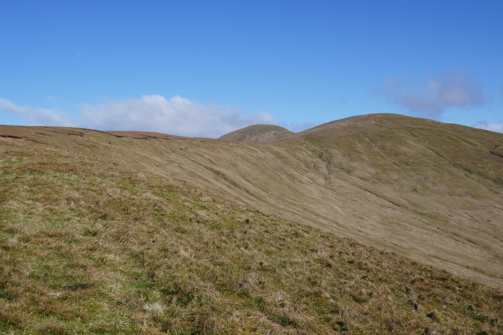
From here it’s more follow your nose. More soft bits but it was generally trivial until you get to Beinn Tharsuinn which is, for hills around here, gently steep. Plod, plod, plod. The wind was starting to get noticeable. Then at the top the views become rather jolly making up for the effort being expended.
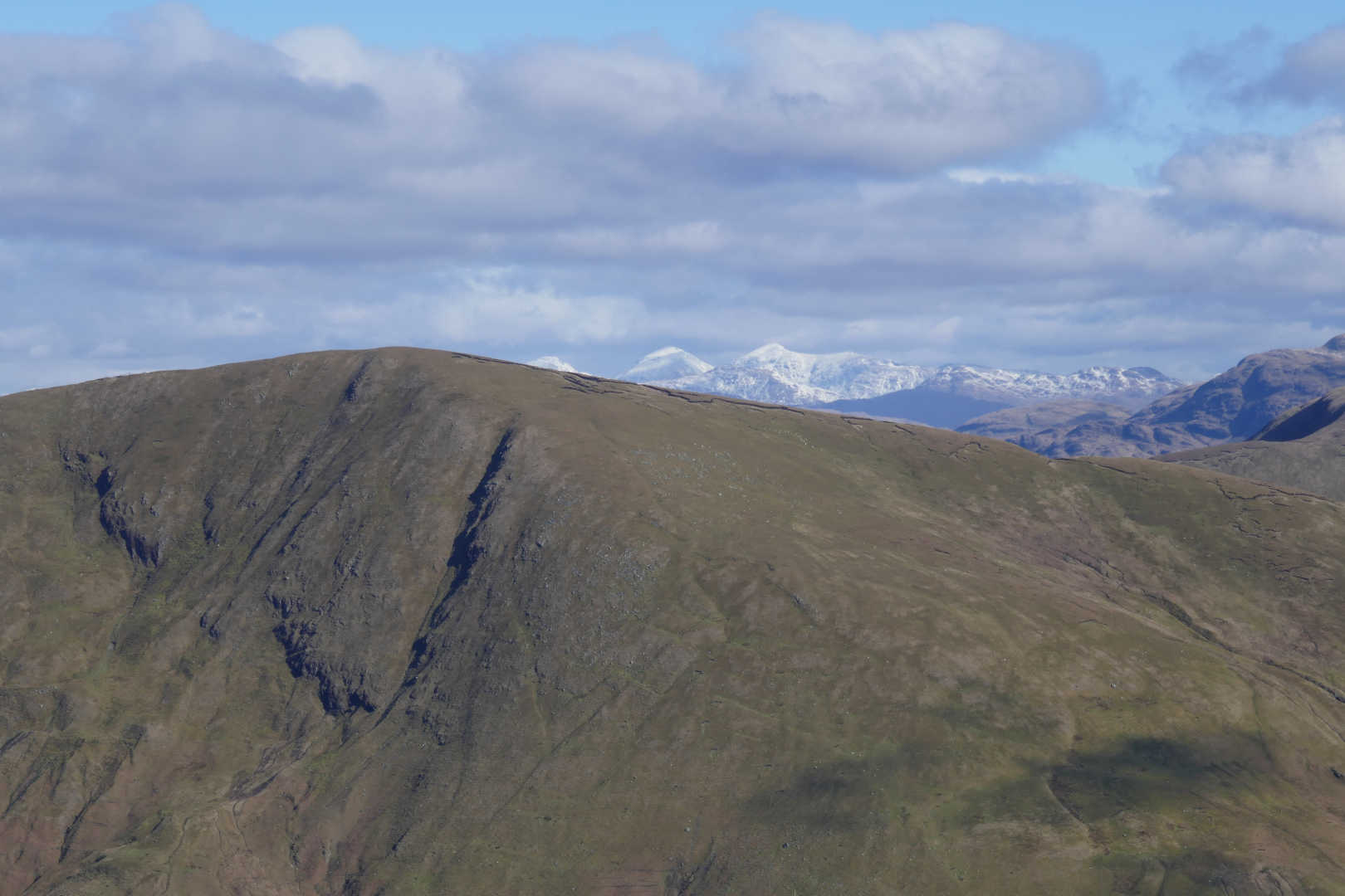
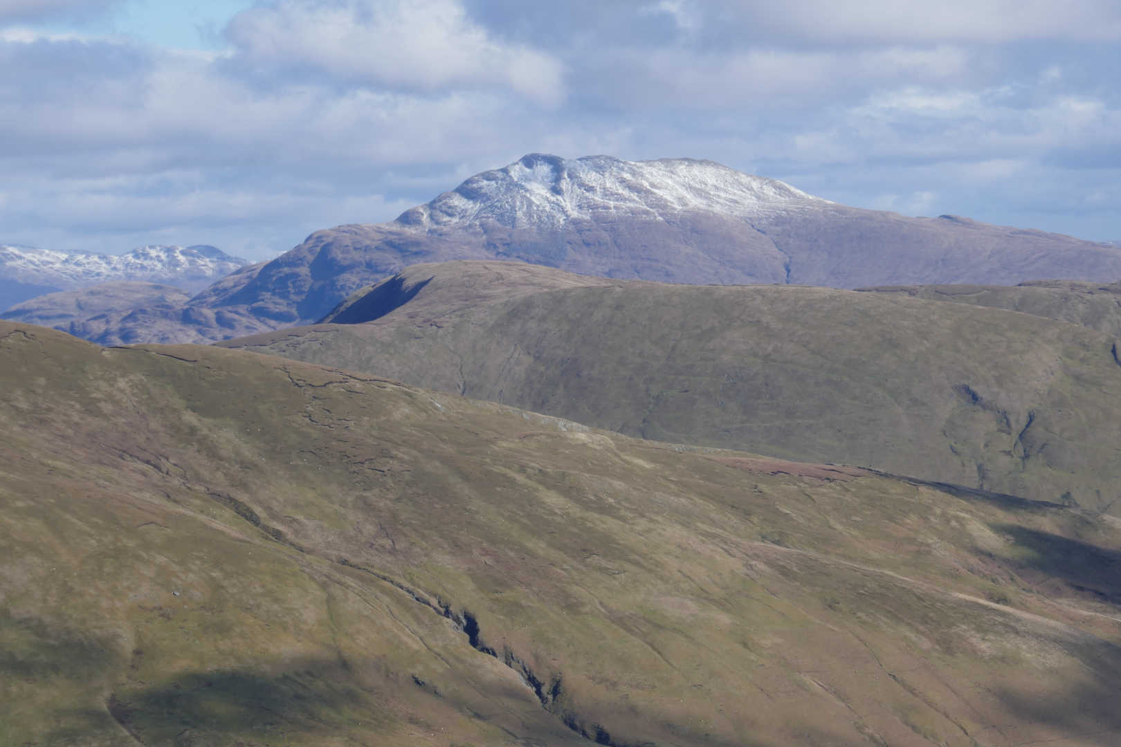
Looking East. The hill in the foreground is quite appealing but isn’t on anybodies list so I bet you it’s hardly ever climbed! But behind we have Ben More GM/SS-001 in the middle, Stob Binnein GM/SS-002 to the right. Beinn Tulaichan is hiding front of Ben More and the peak of Cruarch Ardrain GM/SS-004 is just peaking out.
Still looking East and Ben Lomond GM/SS-011 looks rather splendid in his Winter Coat, freshly applied.
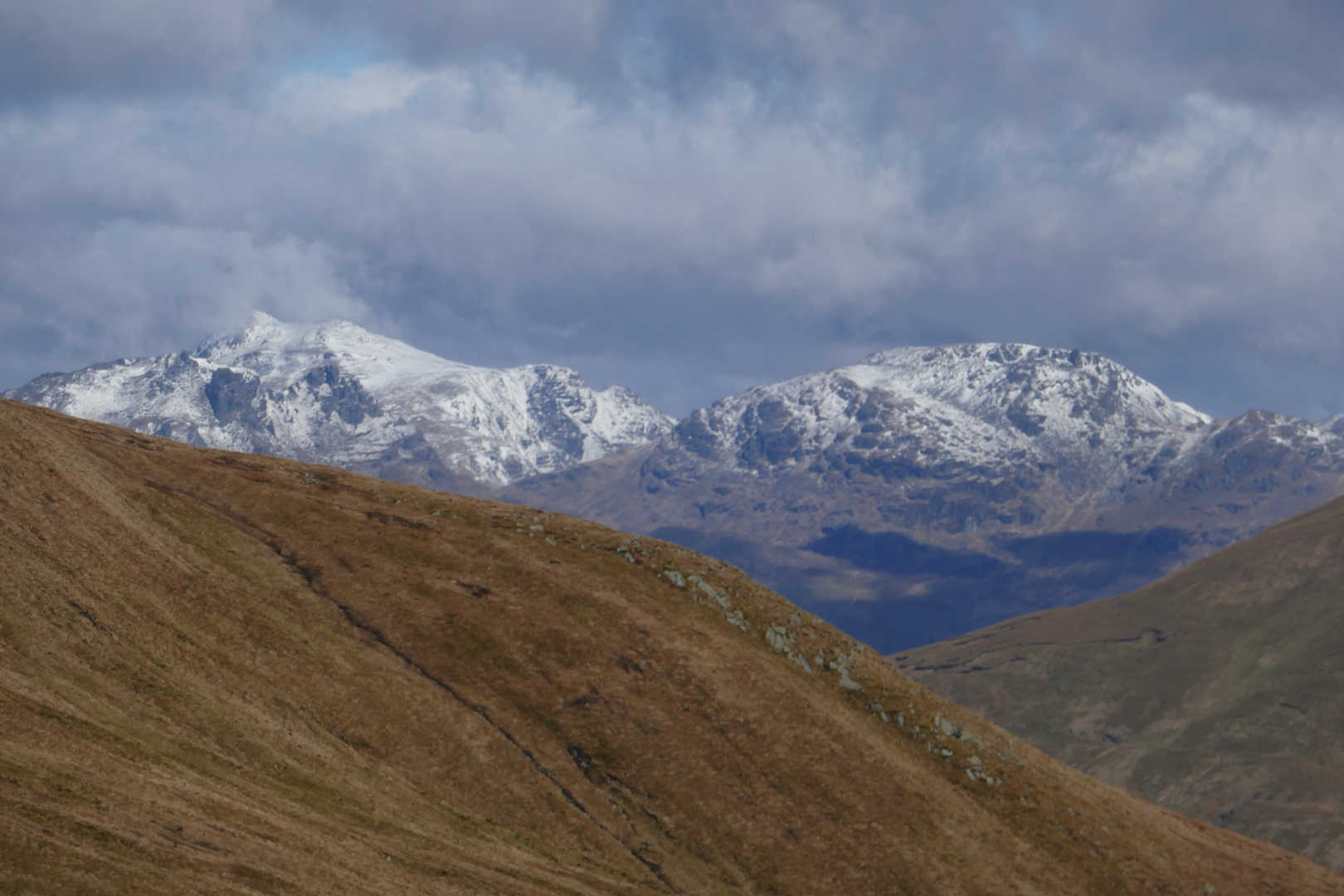
We had this already, Beinn Ime GM/SS-006 on the left with Ben Arthur (The Cobbler) GM/SS-020 in front and Beinn Narnain GM/SS-016 to the right.
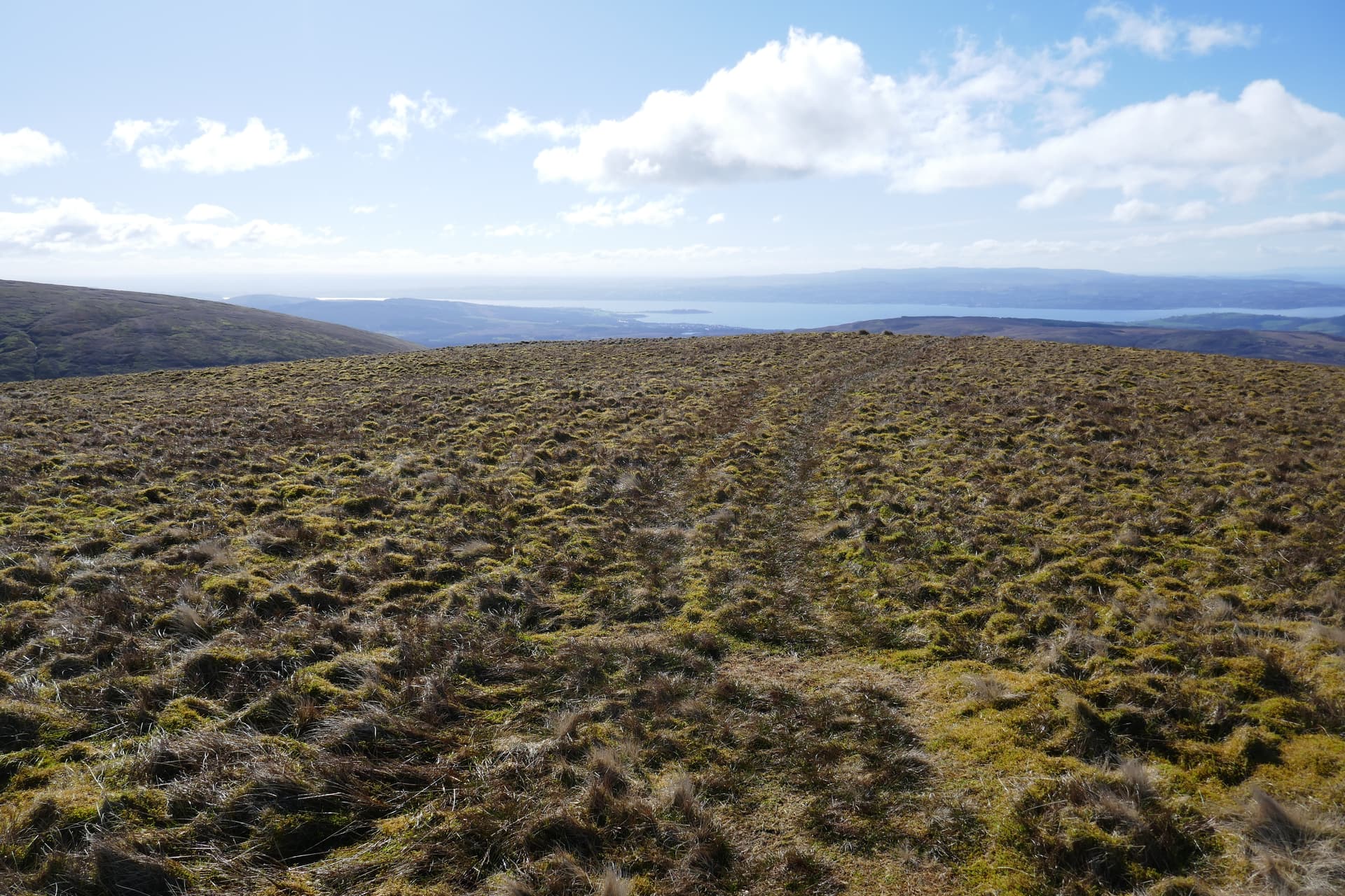
From the same spot looking South East…we’re right at the Highland Boundary line here, overlooking the Firth of Clyde shows the terrain contrast with the view North. Starting to cloud up.
And looking South West with Isle of Arran in the far distance.
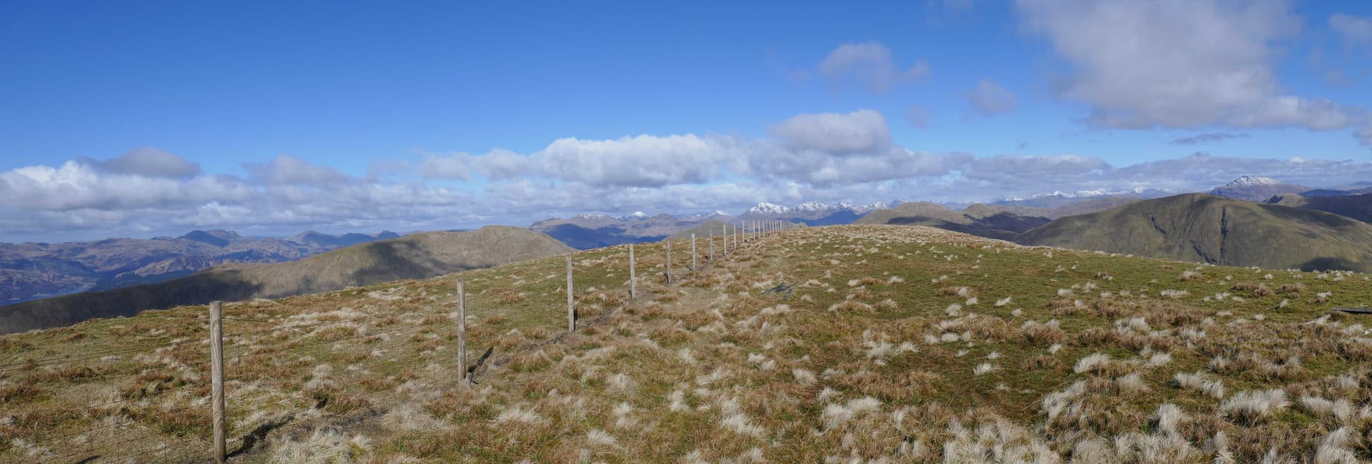
And finally I was there. It didn’t seem as hard as last week. The wind was damn cold as it was from the North. So a couple of panoramas… these should expand if you click them to give a bigger view.
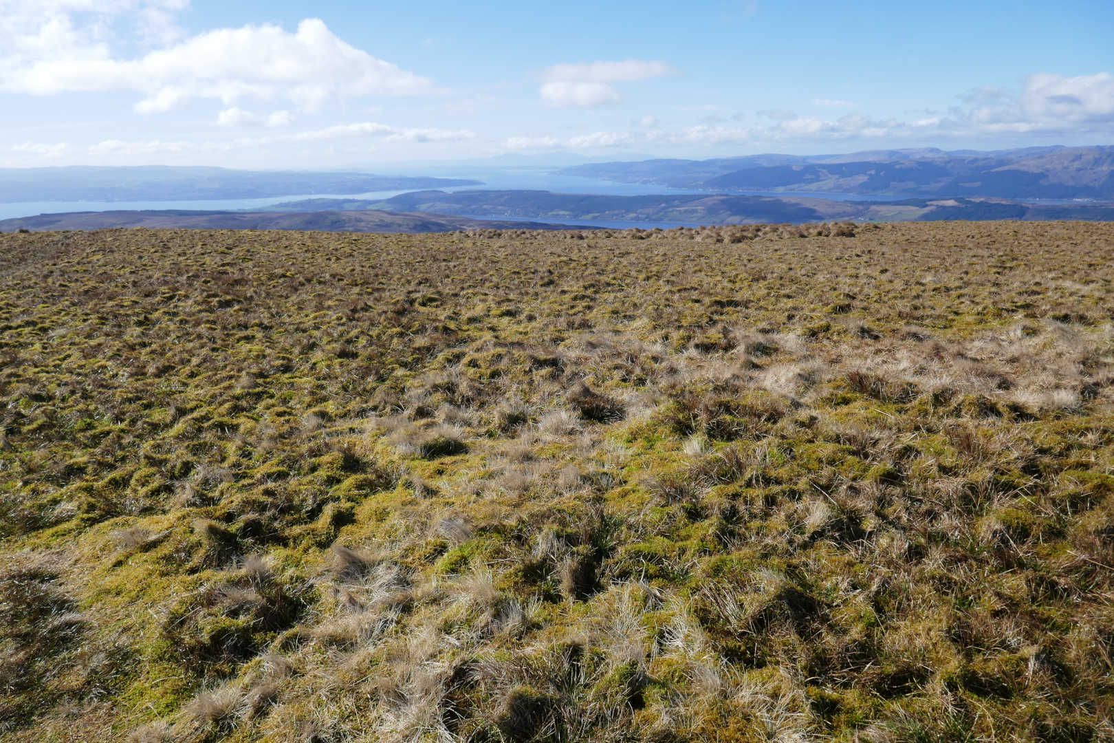
Looking North.
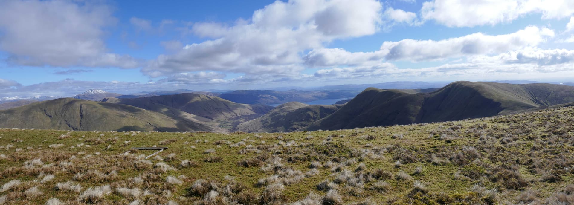
Looking East, the water is Loch Lomond. You know there is a reason there is a song about the "bonny, bonny banks of Loch Lomond.
There’s nowhere to hide here so I set up at the trig using it as a wind break and back rest. Antenna was the 40/30/20m EFHW with AA5TB match. That does 40-10m. For a broken sky there were plenty of spots. I did 40m first. There was some guy calling CQ SOTA CQ POTA where the WAB net meets (7.160). He was a big signal with me and had plenty calling but his radio seem deaf or he didn’t know what he was doing. I QSY up and spotted, 5 SSB QSOs so everything was qualified, good. 40m CW was controlled with another 7 QSOs. On to 20m CW that was the money band with 16 QSOS and ODX was W4JKC who appeared from nowhere. Conditions were not good but they weren’t terrible. 10m produced just 1 QSO with EC8ADS Canary Island (Africa). There were other SSB stations, EK6OLS in Armenia but he couldn’t hear me above the EU pileup ![]()
What looked a school teacher with 5 teenagers wandered up from Beinn a’Mhanaich. English visitors up for the Easter Holidays. We chatted for 20+mins then it was back to radio. The youngsters were really enjoying being in the hills on a good day.
I haven’t tried 17m for a while and first QSO was WW4D, nice. Second QSO was super DX: GI4ONL ![]() 6 in total and then 30m for 7 QSOs. I tried 15m and 12m and got zilch and tried calling CW and SSB on 10m and got no more takers.
6 in total and then 30m for 7 QSOs. I tried 15m and 12m and got zilch and tried calling CW and SSB on 10m and got no more takers.
Considering we were at G4 storm levels, the bands were all right. 41 QSOs is not shabby. I think that myself and Gavin GM0GAV on GM/NS-008 had more luck than some of the other GM activators as we were predominantly CW. FT8 probably would have worked well but SSB probably needed a bit more power than normal. Anyway, chocolate time then pack up, more photos and the walk out being the reverse of the approach.
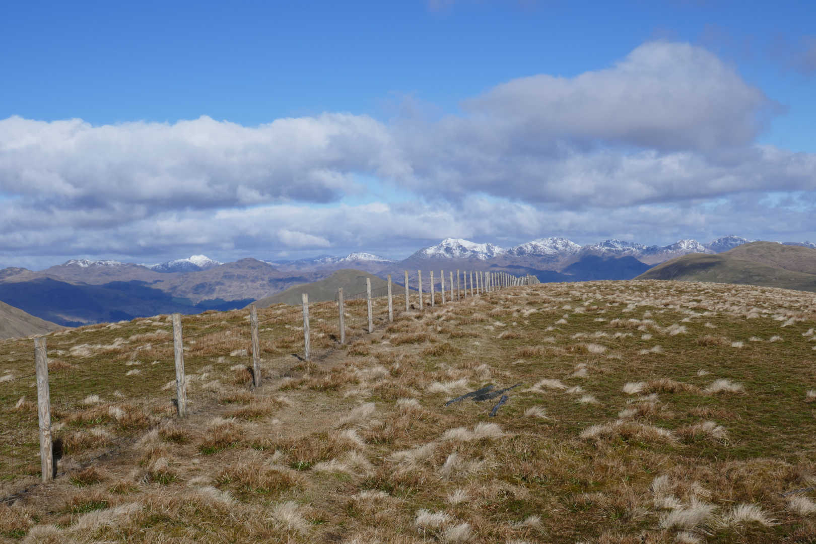
Looking North and zoomed from the panorama, taken when I arrived before it clouded up somewhat. In the sun hiding out of the wind it was nice. When the sun went behind the clouds it was damn cold.
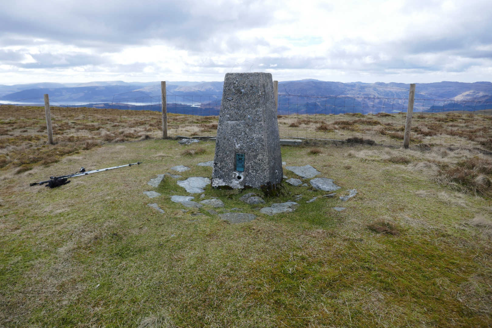
Beinn Chaorach GM/SS-062 trig point, when I was leaving around 1400Z, much cloudier and colder.
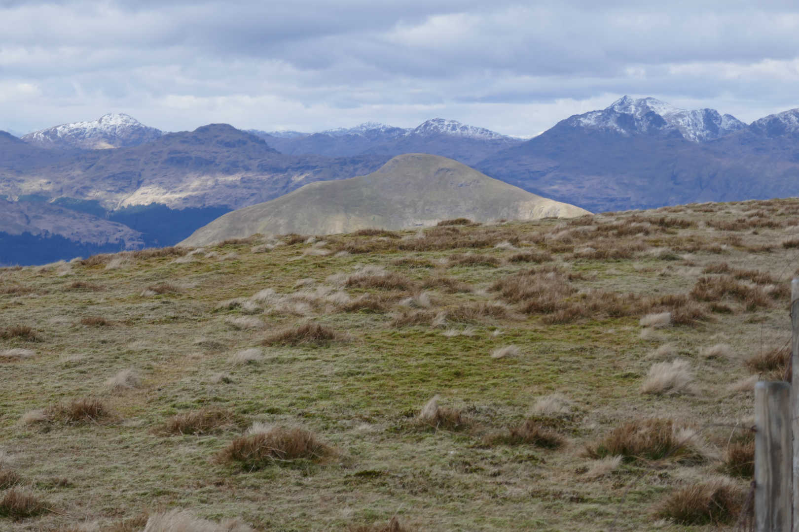
Beinn a’Mhanaich GM/SS-066, the regular partner for my hill. For those with better legs and smaller stomachs than mine.
Cruach a t’Sidhein GM/SS-080. This is quite remote for the Luss area. Best approached by trespassing over the Weapons Store road and bridge. Final ascent is damned steep. Note how the snow has reduced massively from just a few hours earlier… it’s not really cold enough to last.
It took 1hr 45 to get to the trig and 1hr 5 back to the car. Again I needed two fleeces but the trig let me hide out of the wind so no Belay jacket. The WX and veiws made up for the broken sky. No diabetic drug side effect either today. And that’s activation unique #493 in the bag. Maybe another Luss hill for number #494.