Chris, @ZL4RA started this daft idea with his ‘ultramarathon for SOTA because I’m smart’. A circuit of all the crater rim summits surrounding the Littleton and Akaroa harbours. Chris managed a supported / vehicle-assisted circuit in a single day. No mean feat - to which my response was ‘vehicle-assisted’??? Light-weight!
With that I backed myself onto the corner of having to complete to challenge under my own power, without assistance activating all the publicly-accessible SOTA summits. A photographic account of which follows.
Owing to the use of foot, peddle and paddle power only, I entered the ‘2 day’ category of this multisport challenge. The plan being this:
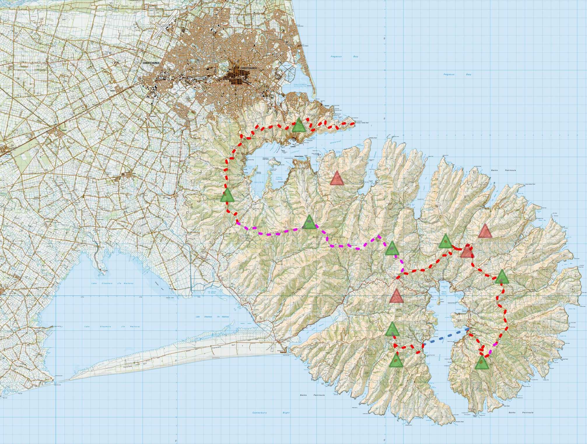
Route: Red lines - Bike, Pink - Walk, Blue - paddle.
Summits: Public as green triangles, private as red
Day 1:
- Start at 6am on the Saturday at Godley Head lighthouse [ZLB/099]
- Cycle the 33km Summit Road along the crater Rim to Gebbes Pass activating Mt Pleasant [ZL3/CB-822] and Cooper’s Knob [ZL3/CB-806]
- Walk the 37km Summit Walkway to Hilltop (the pub on the pass) activating Mt Herbert [ZL3/CB-678] and Mt Sinclair [ZL3/CB-726]
Day 2:
- Mountainbike the 33km Summit Road / Brocheries Road / Stony Bay Track / Misty Peak Track activating Mt Pearce [ZL3/CB-760], Lavericks [ZL3/CB-757] and Flag Peak [ZL3/CB-737] before dropping 6km to Akaroa township
- Paddle 5km across the Akaroa Harbour to Wainui
- Cycle 11km to the eastern ridgeline and activate Saddle Hill [ZL3/CB-725] and Carews Peak [ZL3/CB-746], finishing with an activation of Akaroa Head lighthouse [ZLB/002].
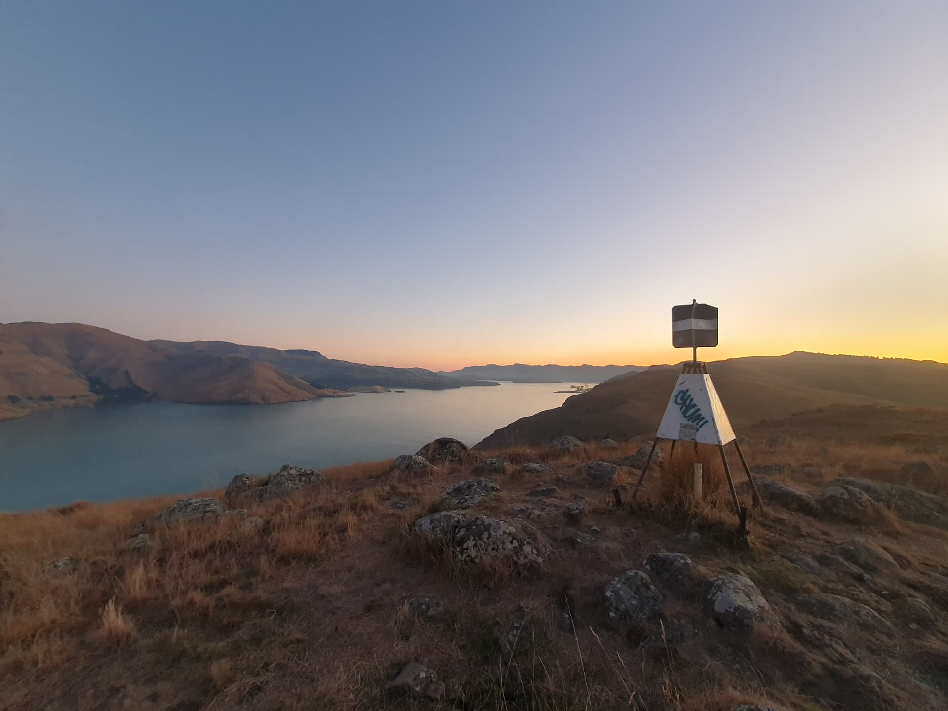
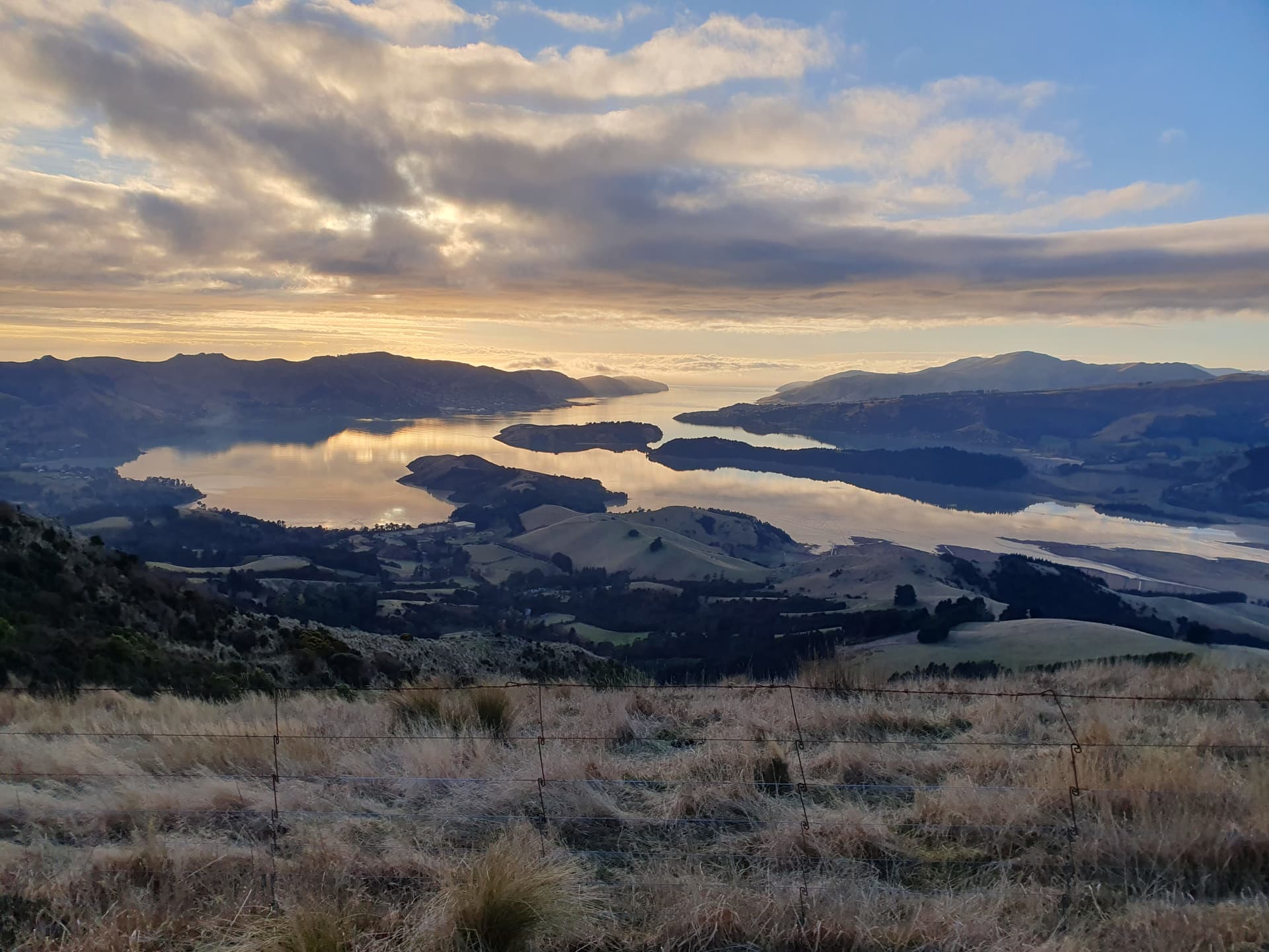
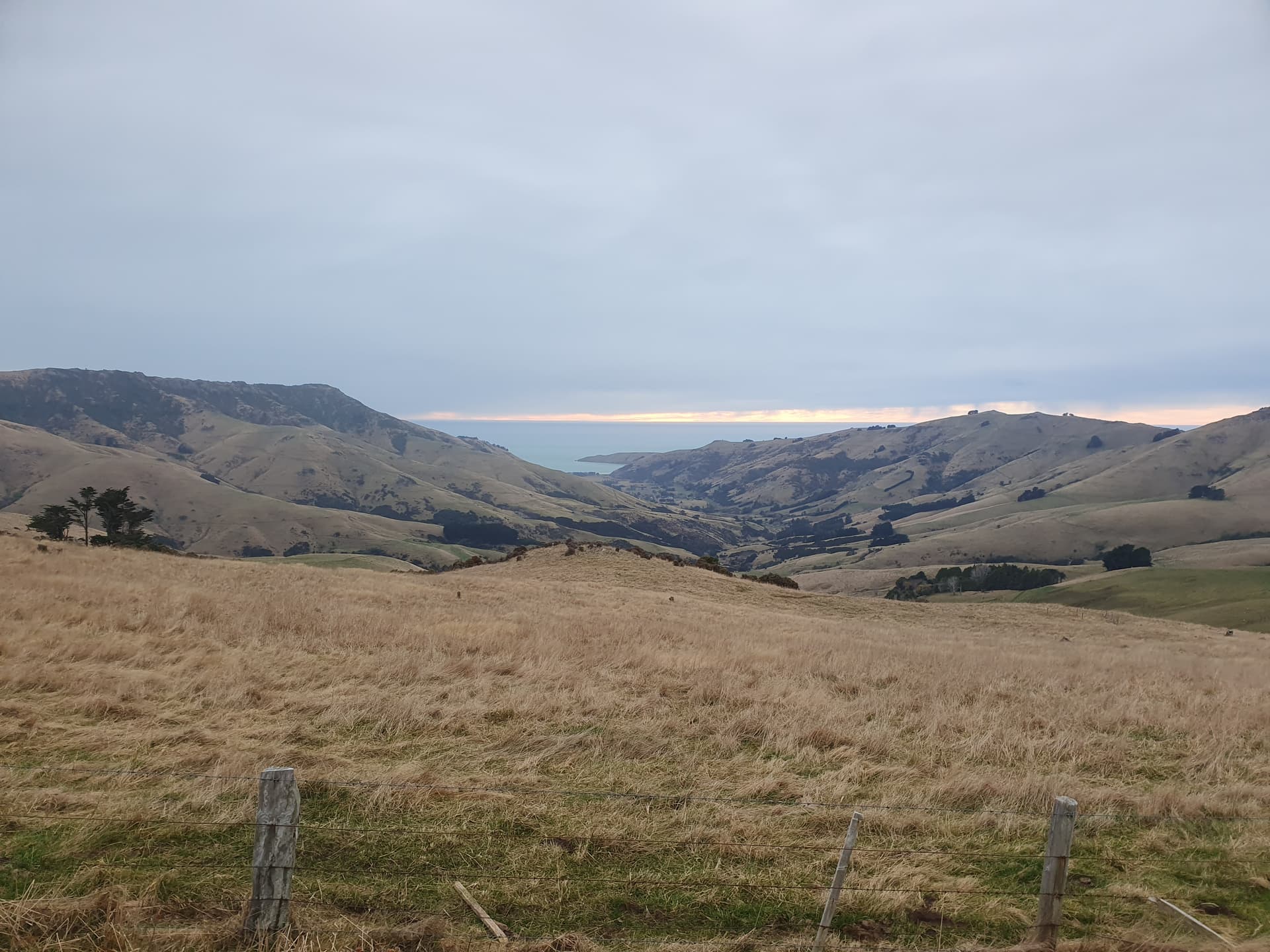
Akaroa Harbour from Godley Head
Day 1:

6am departure in the dark from Godley Head - so start photo taken the evening before!
7am: Activating Mt Pleasant - my first ever VHF or FM activation!
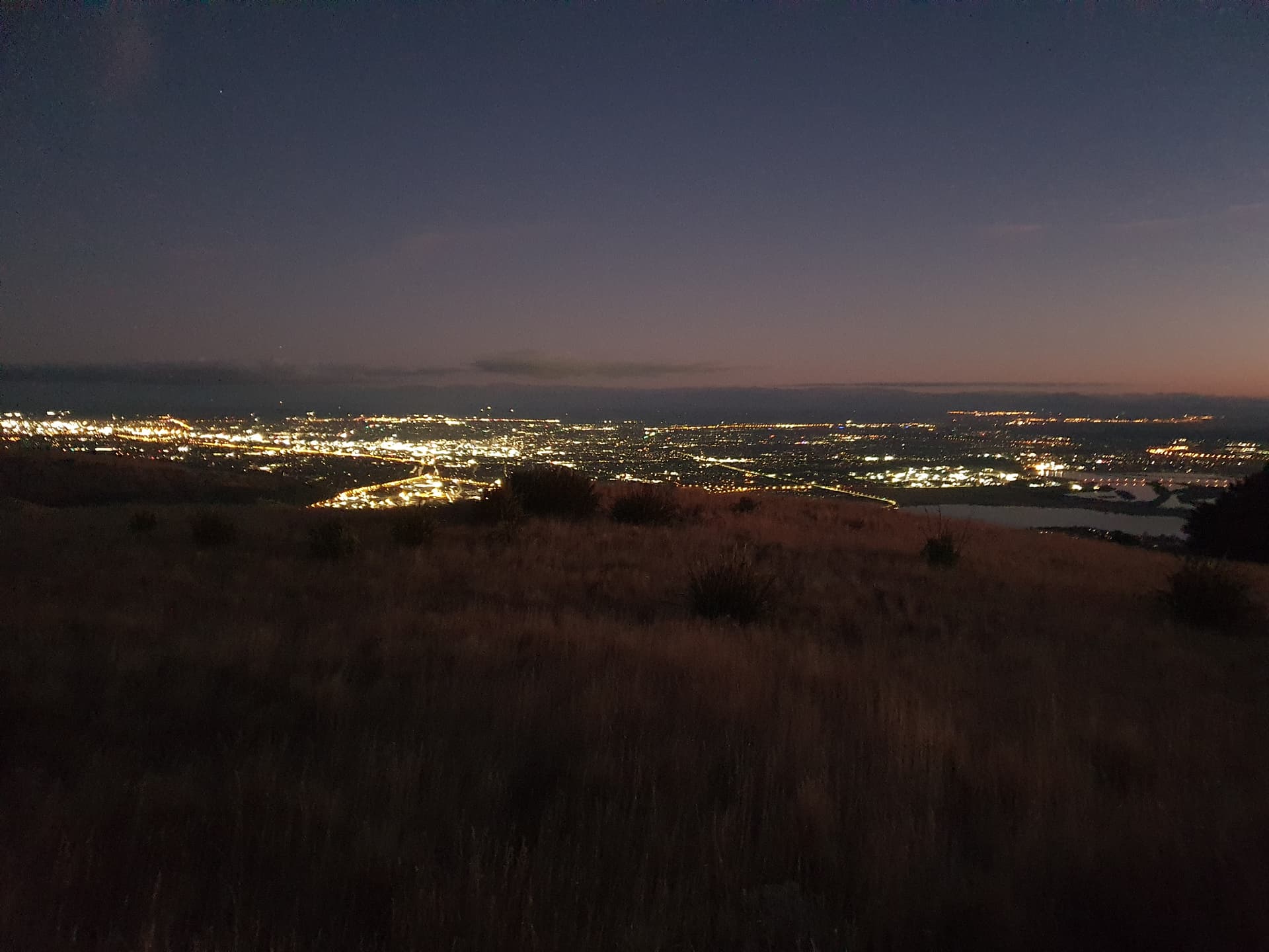
Whilst Christchurch sleeps …
Sadly the early hour meant that the cafe at Sign of the Kiwi was closed, and would remain so for another hour and a half. So I peddle on sans-breakfast for an earlier than planned activation of Coopers Knob.
9:00am: Coopers Knob - 30km down and half way round Littleton Harbour already! Aren’t pushbikes great
Off the bike at Gebbes Pass and progress slows. A pleasant smoko at Sign of the Packhorse Hut gives time for a bitter cold northerly to kick in (northerlies are not supposed to be cold in ZL). A dense, soaking sea-fog accompanies it and we say goodbye to the beautiful views.
12:00 midday: Mt Herbert activation is spent hunkered-down behind the concrete water tank that houses the repeater gear on the summit. The occasion did not merit a photograph.
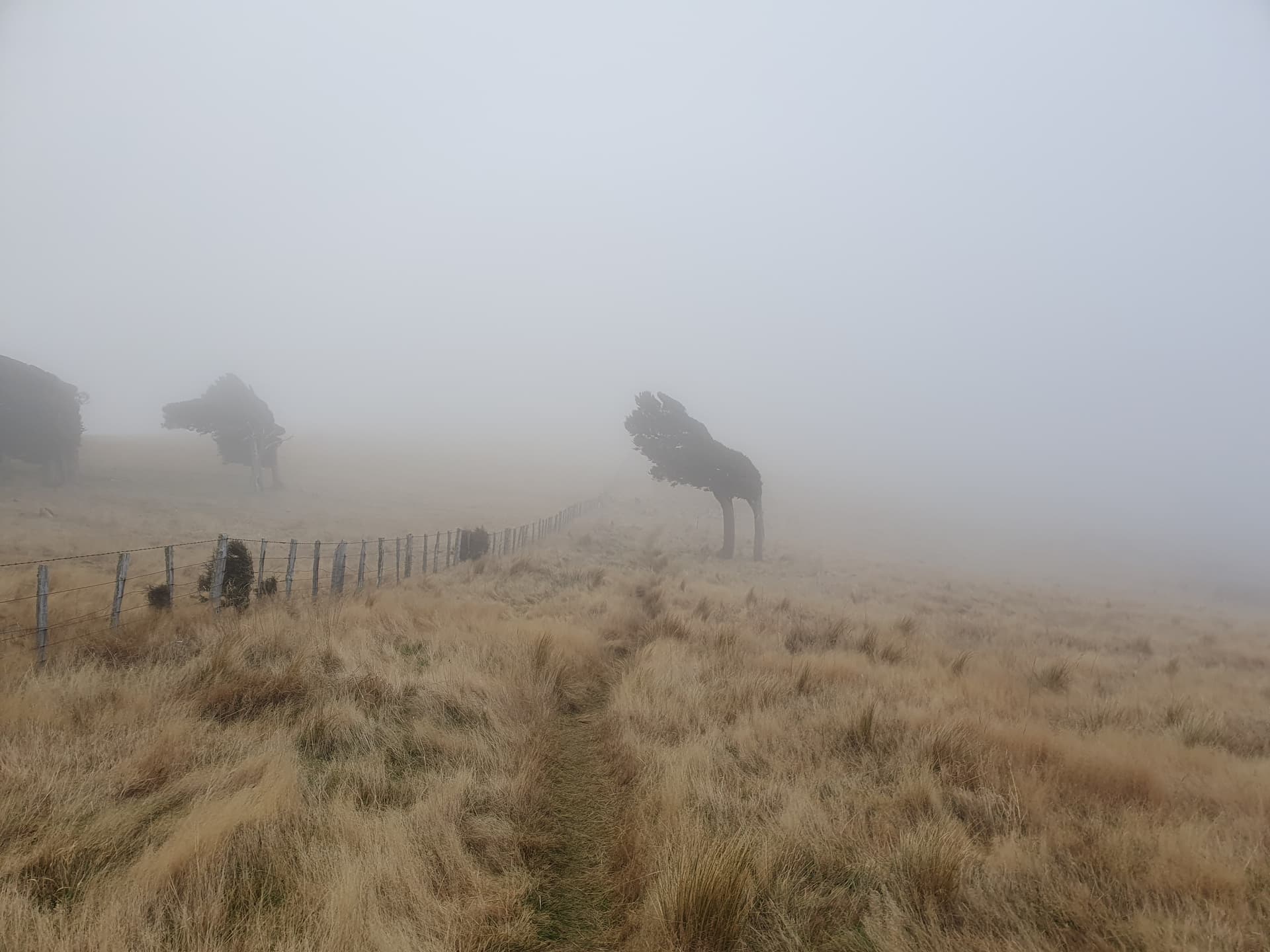
130pm: Trees designed more for a southerly beyond Mt Herbert - Sinclair ridgeline
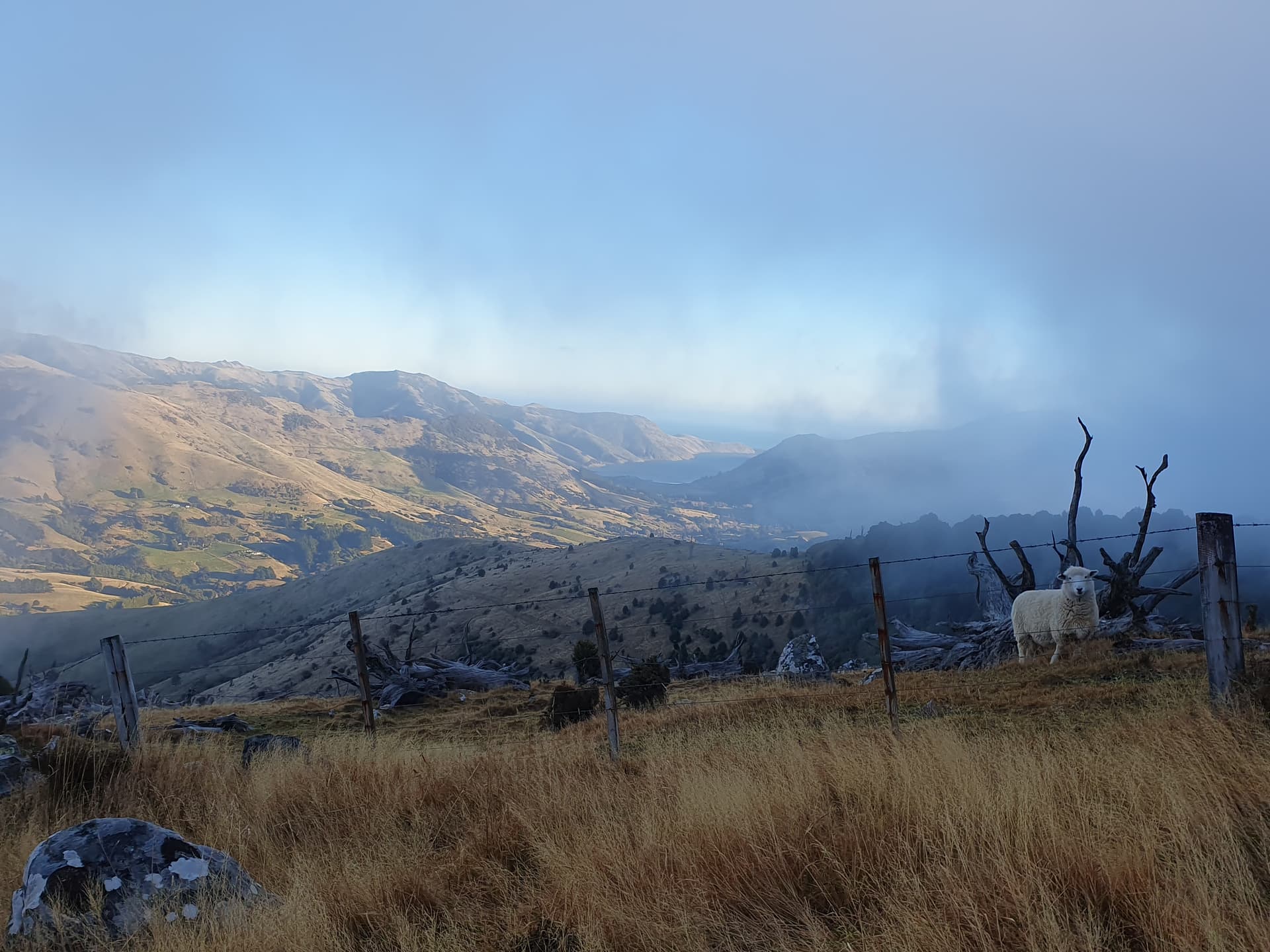
330pm: Glimpse views down to the bays just beyond Mt Sinclair. 32km of walking down, 5km to go
True to form for this trip, the pub at Hilltop was also closed (for renovation) upon arrival at 5pm Saturday night. But Sim was there in the motorhome with a couple of left over cans of Speight’s and a packet of ready-to-eat dahl with rice from the emergency supplies box!
Day 2:
7:20am: Part 2 - Akaroa Harbour. A more leisurely start from Hilltop back on the Summit Road towards Pierce.
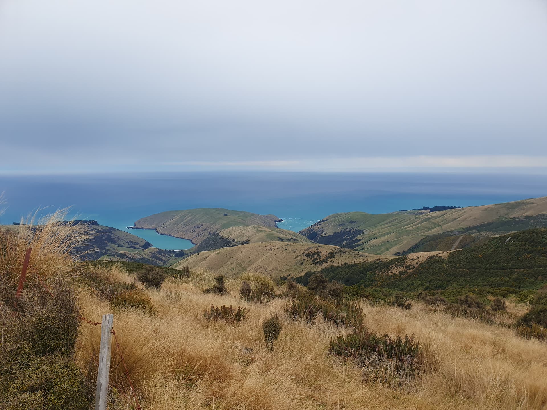
9am: The steep track to Pearce offers views to one of the many small bays that ring Banks Peninsula
The road climbs to near the summit of Duvachelle Peak, but sadly misses the activation zone (private land) by about 100m, making this a 9-summit rather than 10-summit trip.
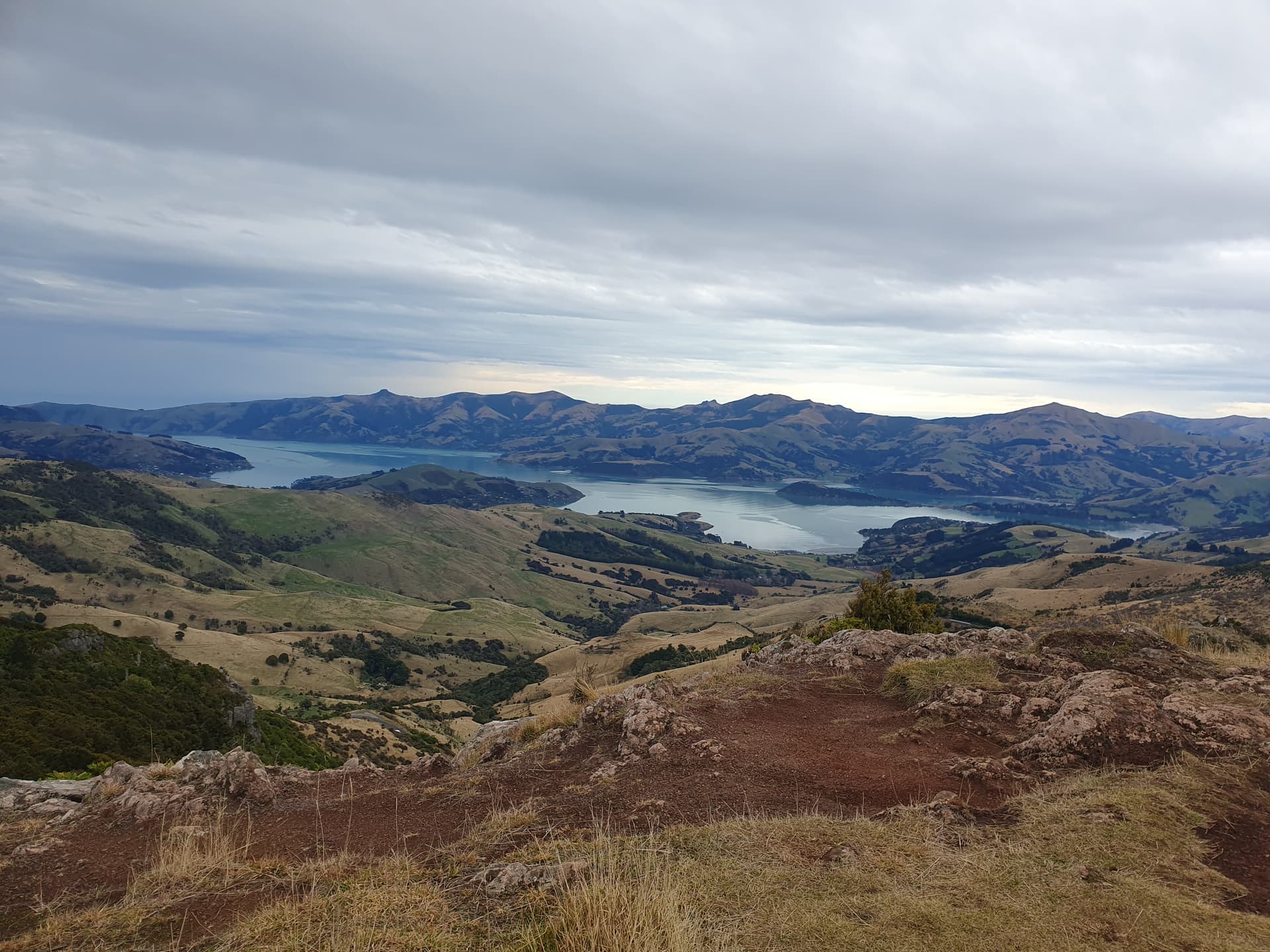
945am: Activating Lavericks, looking down over Akaroa Harbour
The Summit Road ends 6km before Flag Peak. A gravel track continues another 2km, and then it’s a rough walking track for 3km passing Stony Peak to Long Bay Road where cycle tracks resume. I opt to carry the bike rather than abandon it and have to return.
1140am: Activating Flag Peak - looking down over the eastern bays

1pm The 5km paddle across Akaroa Harbour to Wainui takes around 1hr in the packraft on thankfully flat seas
Jubilee Road climbs steeply from Wainui to the eastern ridgeline. It takes an hour to push the bike up - but I welcome the effort later for the quick ride back down in evening darkness.
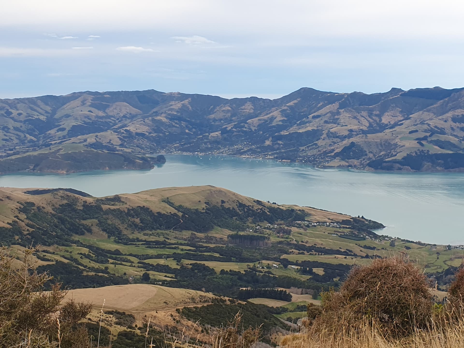
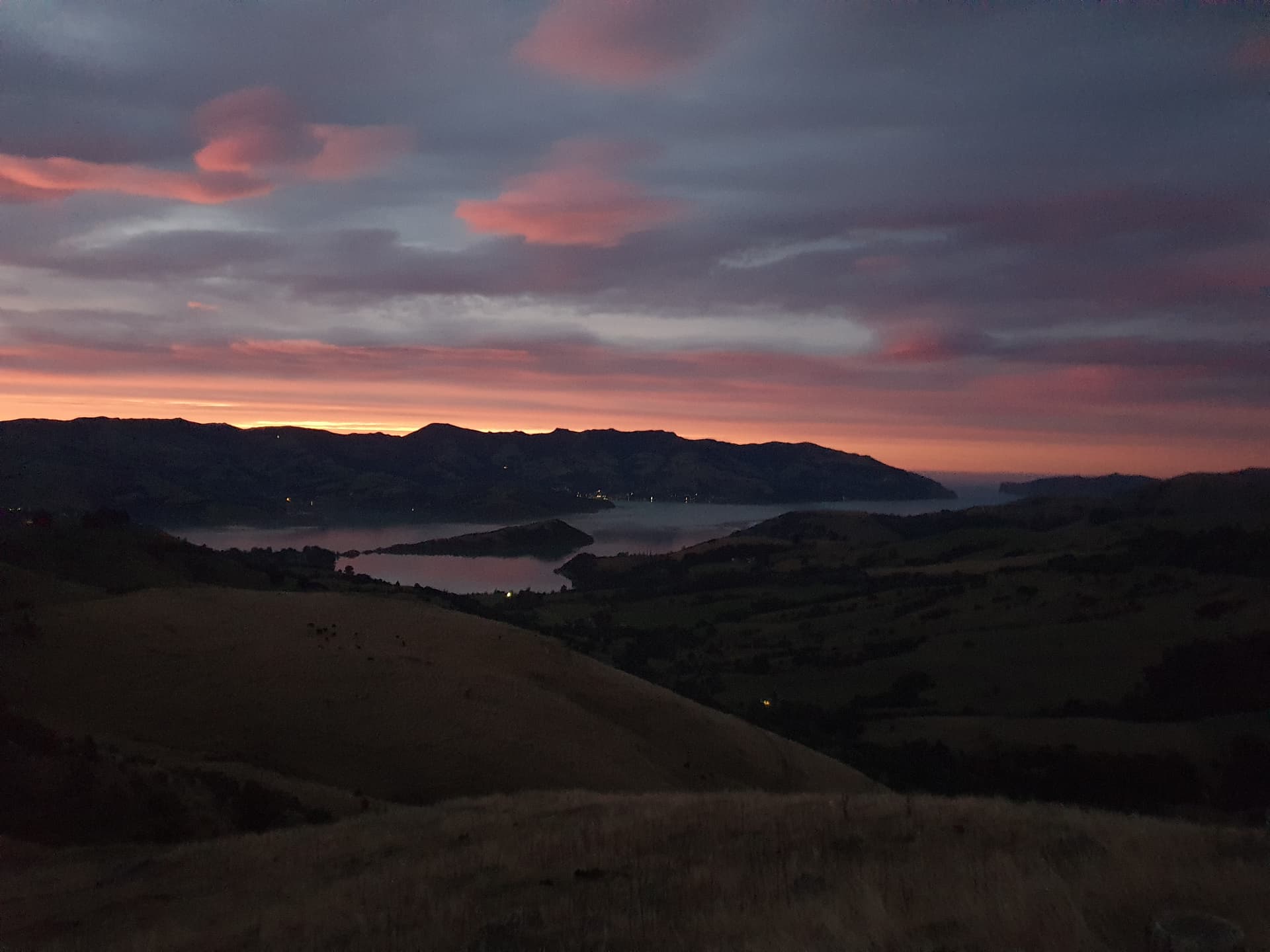
330pm: Activating Saddle Hill. Akaroa township across the harbour

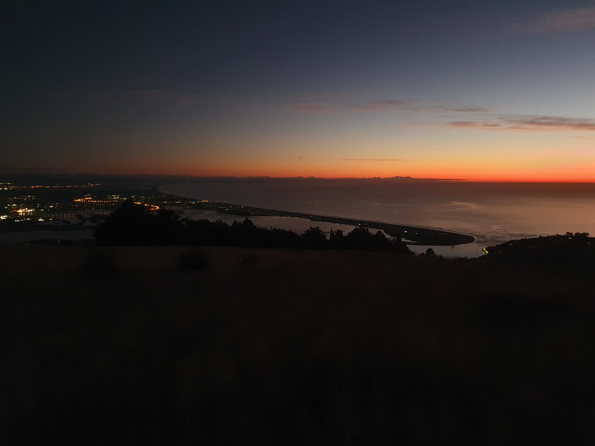
5pm: Activating Carews Peak (and Akaroa Head Lighthouse which was within sight). The Te Waihora / Ellesmere sandspit below
So that was it: my effort of the inaugural Banks Peninsula SOTA multi-sport challenge (unassisted category).
- Total time taken 21 hours spread over 2 days.
- All 9 public summits and the 2 lighthouses activated.
- 127km travelled:
– 45km walked
– 77km cycled
– 5km paddled - Transport used: 1 pushbike (not an ebike), 1 packraft and 2 sore feet.
– Vehicle used only to drop off bike / raft and for accommodation - HF/SSB activations: 8
- VHF/FM activations: 1 (Mt Pleasant on 1st day - running late!)
- One amazing journey.
- And one absolutely buggered Pom at the end of it.
High point:
- Finishing!
Low point:
- The moment salt water found the cycle-induced chafing 1/3 of the way across Akaroa Harbour.
And there most be a pub round here somewhere that’s open.