Meadie Ridge NS-130
This one was unactivated. Understandable, it’s one long bog trot for a point. However, the views were good and after the effort of bog-trotting up Ben Loyal, I thought it would be easy. It wasn’t!
The route to this summit means passing Lettermore, where I parked for Ben Loyal and lost my phone. I was sure it was no more than 30mins from the car when I last had it, so I allocated myself 1hr to go searching. I’d checked how to back track with the GPS and a few tests showed it could distinguish between standing one side of the track or other and it aligned with my memory of the walk out. I reckoned the places where I stumbled would be likely phone drop zones. Boots on, up the track with the GPS in back track. I remembered stumbling at a nasty boggy puddle where the moor meets the track and when I lined my position with the recorded position, there was my phone in the grass. It landed with the USB port down so no rain from overnight had got in. One checking, 89% battery and phone happy. It was in airplane-mode so I couldn’t have rung it from the spare phone. I only had a spare phone because I wasn’t sure I’d get the satellite spotter to work, previous visits showed Three coverage to be spotty and I wanted some better coverage. £10 for an EE SIM in an old phone gave me fast 4G coverage from most locations. Apart from Ben Loyal when it was GPRS and my phone that I lost and found said Emergency calls only. Anyway, phone found in under 10mins. Oh I was deliriously happy 
Onto Meadie Ridge. Parking for one car at NC482406 without blocking the passing spaces on the b-awful C road to Hope from Altnaharra. The surface is quite rough and the passing places are a bit far apart. Boots on and I took a direct line to the summit over Cnoc na Coileach. From the top of there, I could check for the best ground between the summit. There is none…squelch, splash, sink, slip, slide all the way.
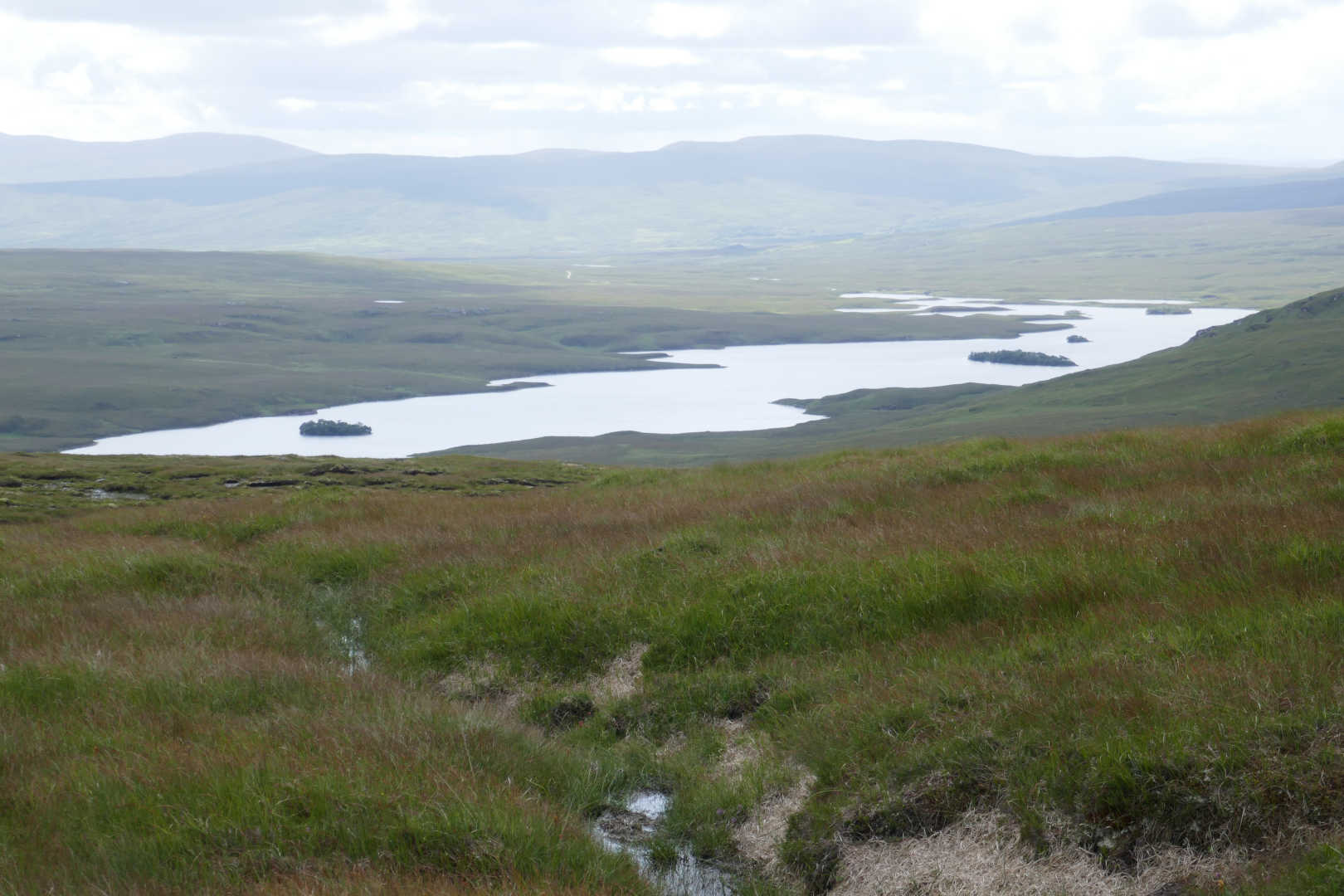
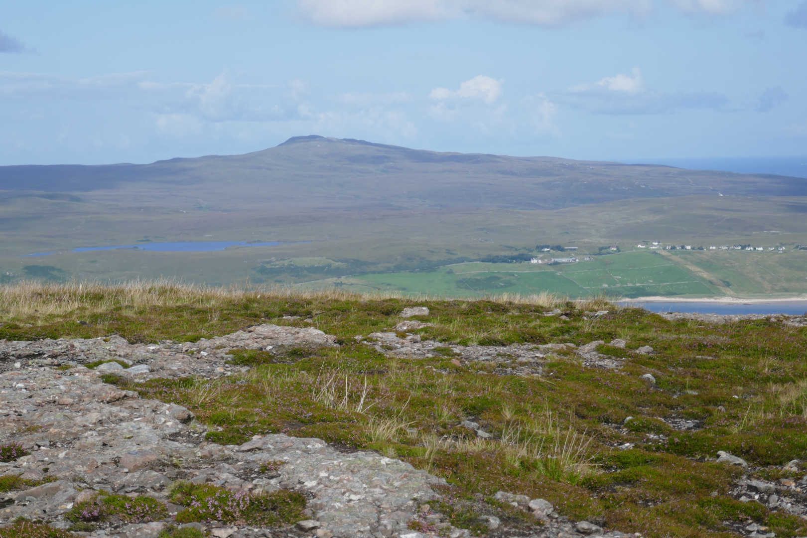
Loch Meadie and the completely desolate bog land. No sign of man anywhere. This is from near the summit. The ground is like this in all directions apart from where there are mountains.
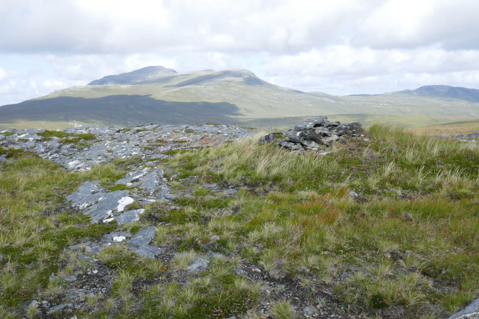
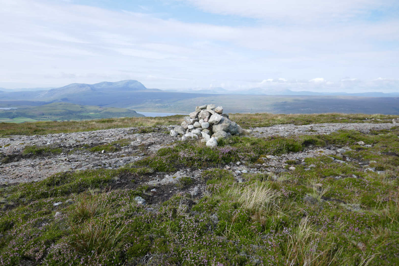
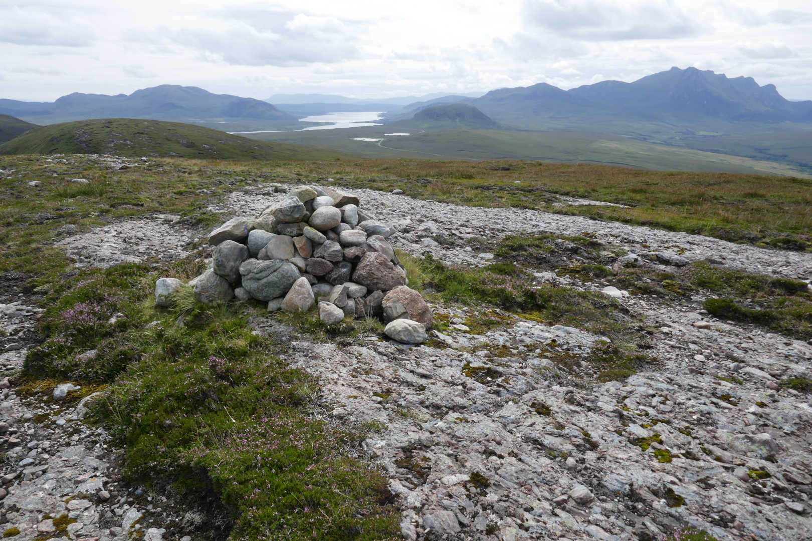
Meadie Ridge summit with Ben Hope NS-020 in the background. A bit murky as it had rained overnight and was due to be showery with rain later.
In fact this was a typical view on the day, another shower coming in from Sabhal Beag, Carn an Tional, Ben Hee direction. It looks worse than it was. It didn’t shower enough to make me put Goretex on, it was warm and breezy enough to dry off in minutes.

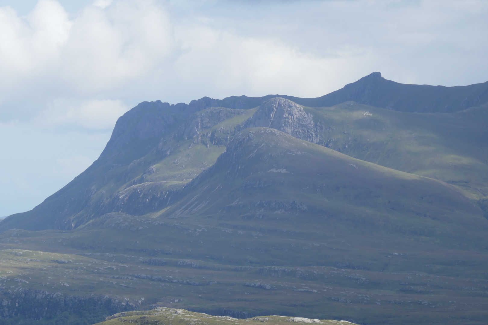
Finally, the Queen of Scottish mountains, Ben Loyal NS-052. I waited an age for a break in the clouds to get some lighting on the rugged West side of the mountain.
Propagation was poor again. 3 on 60m, 16 on 40m, none on 30m and 3 on 20m. I think the spot failed in someway for 30m. Route out was similar but I contoured around Cnoc na Coileach through even wetter bog. I also mislaid the car by not thinking when I got the road and walking the wrong way. Took 5 minutes to realise I was going the wrong way. Oops! The ground was so bad and I was so knackered after this trivial summit and Ben Loyal that I passed on another first activation and went back for an early bath. Well I had a big day planned for the next day. It was meant to rain more but didn’t. Ho hum!
Meall nan Clach Ruadha NS-145
This one is 10minutes driver from where I was staying in Tongue. Except I wasn’t staying in Tongue anymore but moving down to Lairg. I was planning to do a big walk elsewhere but the forecast was for heavy rain from luncthtime onwards. A shower or three I can live with but not a deluge. There wasn’t enough time to drive to the summit and activate the first of 3 possibles so I chose something that would be easy instead.
There’s a huge car park by the phone exchange. From there it’s a direct line tramp over heather and relatively dry bog land! Well it’s not as bad as the others!
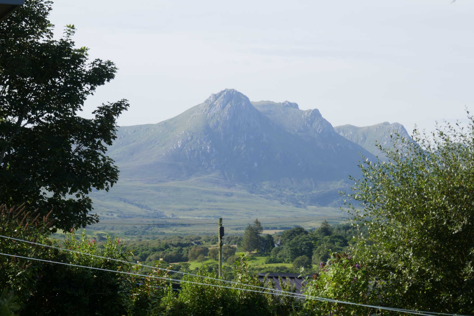
First off the view from the B&B… Ben Loyal looking great.
The site of the UK’s proposed rocket launching complex… and Ben Hutig NS-132 seen from the summit. There is a Colby Camp at the top of Ben Hutig from the First Triangulation of the UK about 220years back.
Ben Hope NS-020 from the summit. Arkle, Foinaven, Beinn Spionnaidh and Cranstackie faintly in the distance.
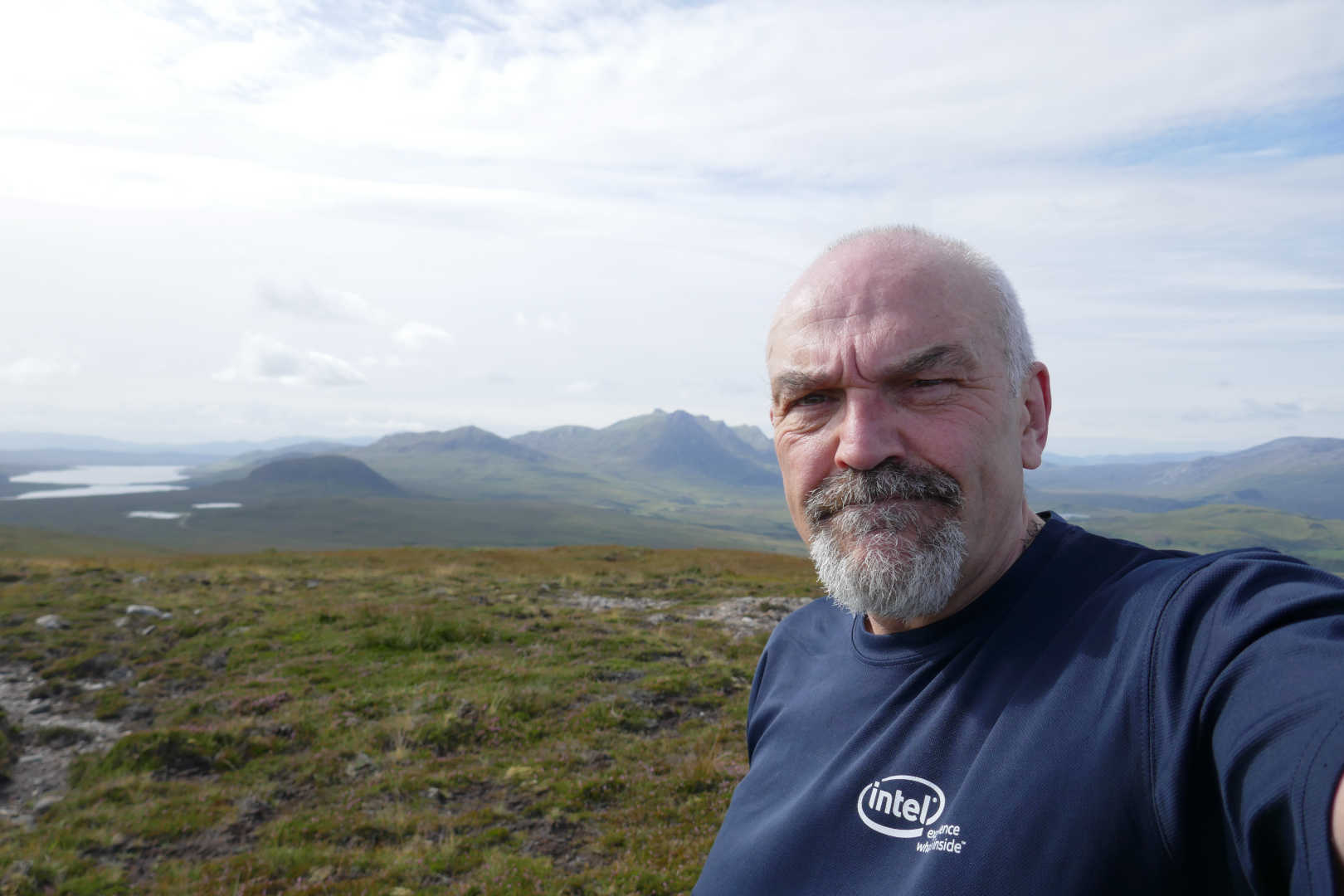
Oh dear, looking a bit old now with Ben Loyal behind.
Ben Griam Beag (distance), Ben Griam Mor (distance), Beinn Stumanadh, Ben Armine (distance), Ben Klibreck (distance), Ben Hiel, Ben Loyal, Ben Hee (distance), Ben Hope, Arkle (distance), Foinaven (distance), Beinn Spionnaidh (distance) and Cranstackie (distance). Sorry it’s not a sharper photo.
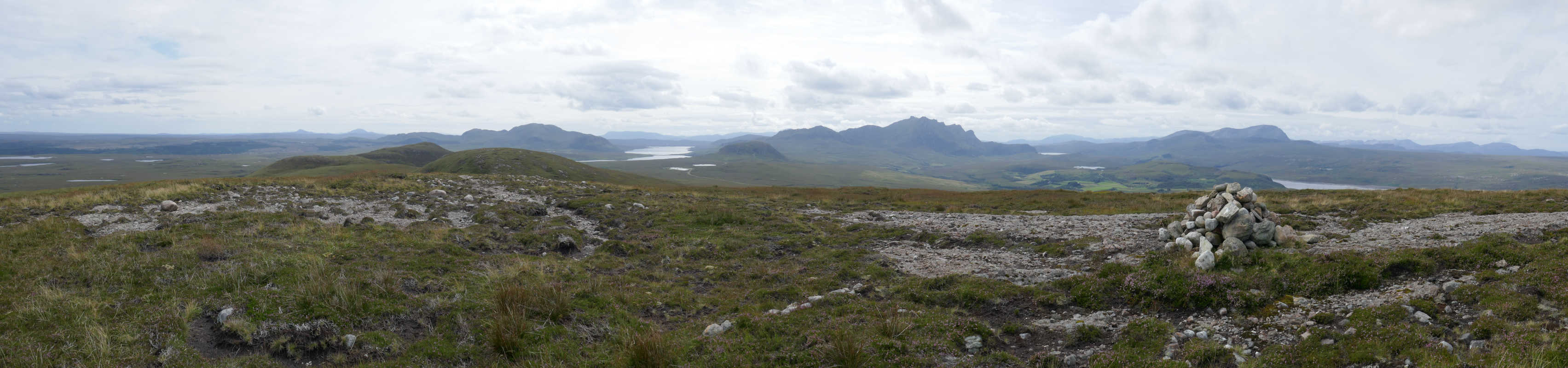
A more zoomed version of above: Beinn Stumanadh, Ben Armine (distance), Ben Klibreck (distance), Ben Hiel, Ben Loyal.
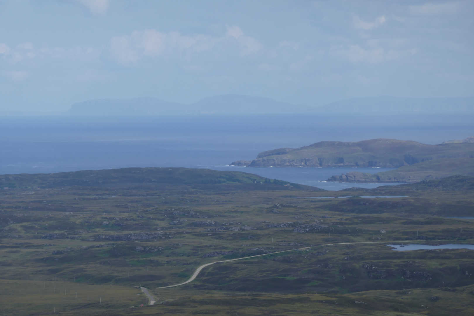
Orkney Islands of Hoy and South Ronaldsay.
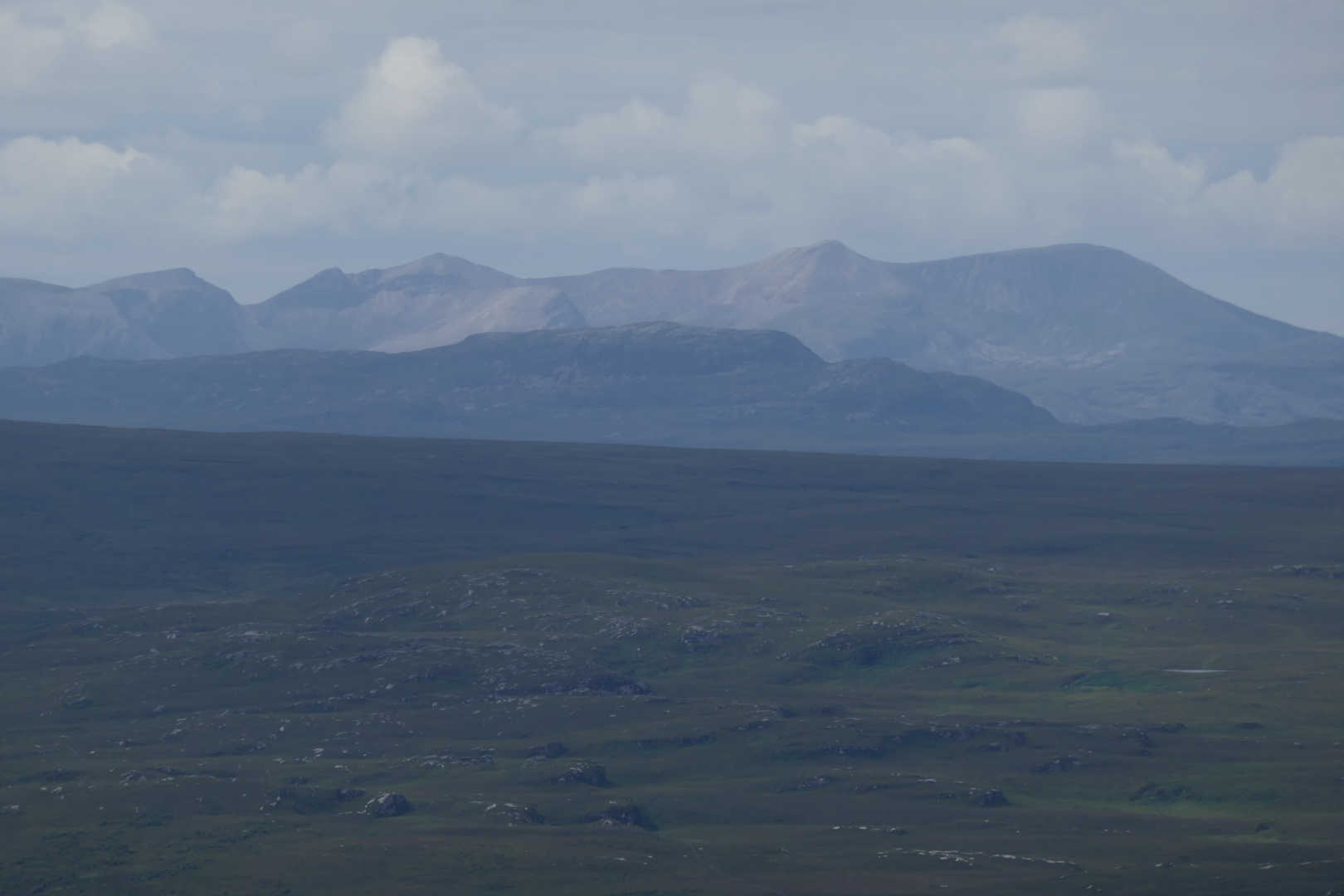
Arkle, Ben Stack and Foinaven
I tried 80m for the first time in years with an 80m dipole… wow big antenna. I’m not sure how well it should work being low but it sort of worked as I made 3 QSOs on 3.760LSB. After that 60m was better but the money band was 40m with a couple on 30m. Certainly things felt better on 40m and 38 QSOs mid-morning, mid-week is very respectable.
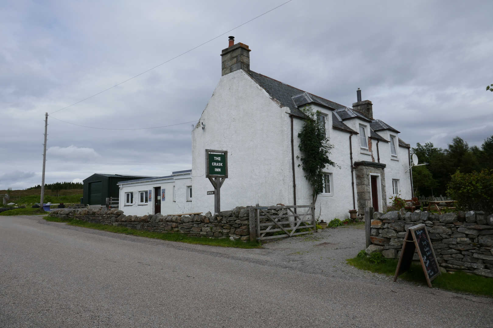
I walked out the way in and made for Lairg. I did stop at a very famous establishment, The Crask Inn. Alwasy a welcome sight as there is nothing otherwise between Lairg and Altnaharra. This is a well known place to stay or eat and drink for those doing Ben Kilbreck etc. and it’s future was in douibt. It’s now run by the Scottish Episcopal Church. Yes a church runs a pub. I called in for a cup of tea but also had a fabulous bowl of home made soup. It’s important to support these establishments in every little way.
After that down to Lairg for the next 2 nights.