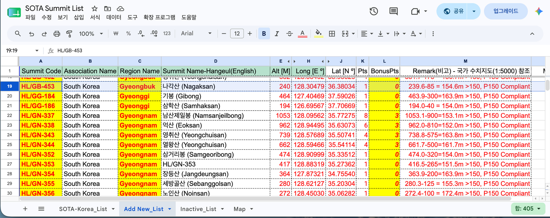
I am writing to seek your advice on registering a new SOTA summit in South Korea.
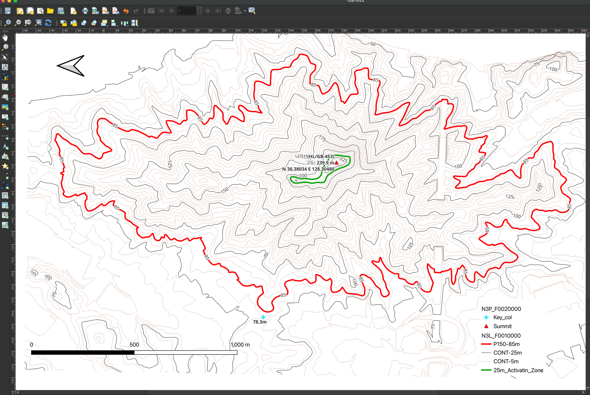
I am currently preparing a registration request for Nagaksan (나각산), which is not yet listed in the official SOTA summit database. To verify its eligibility, I downloaded the official national digital topographic map from the Korean government website and analyzed it using QGIS, as shown in the attached image.
According to my analysis:
Summit (Peak) Elevation: 239.9 m
Key Col (Saddle) Elevation: 78.3 m
Calculated Prominence: 161.6 m (which satisfies the P150 criterion)
I have clearly marked the summit coordinates, the key col, the 25-meter activation zone contour, and the scale bar on the map.
Before I submit the formal request to the regional coordinator, I wanted to ask the community: Is this QGIS-generated map and data sufficient for the summit registration process? Or is there any additional information or specific format I need to provide?
Any advice or feedback would be greatly appreciated.
Actually, I have already sent several direct emails to the UK MT before, but unfortunately, I received no response at all. Instead, the query was simply bounced back to our local Association Manager (Jason Vlasak), who continues to give unhelpful excuses.
I have provided him with flawless, verified QGIS 4.0 data for multiple new valid summits (including Nagaksan and Giryongsan with P150 met) and requested deletions of invalid ones (e.g., Yongmangsan). However, he has stalled all updates for months/years under the pretext of being busy or focusing on other regions. Years ago, even my voluntary project to bilingualize (Korean-English) the summit names was completely blocked by him after the UK MT initially allowed it.
Since direct emails to the MT are ignored and our local manager is virtually inactive and blocking all voluntary database improvements, the South Korean SOTA data remains completely outdated.
I published this data here on the Reflector because it is the only open space left to appeal. I sincerely hope the SOTA Management Team (MT) sees this public post and directly reviews these verified GIS datasets, bypasses the local blockage, and updates the HL database for the global SOTA community.