After the fun of Bike’n’Hike to Carn Bhac the other week it was time to try another. I did think of Beinn Iutharn Mor which is the same bike route as Carn Bhac but thought I’d spread the love about. When I did Sgor Mor the wrong way a few years back, Gavin GM0GAV, said it would have been probably easier to do Carn a’Mhaim instead. That stuck in my mind and looking at the map it didn’t look that hard to be honest. Well a few lessons were learned so it was harder than expected.
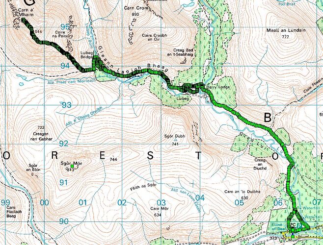
The classic route is park at Linn of Dee, cycle to Derry Lodge, walk to Luibeg Burn, cross at the ford or bridge, walk the path up the front of Carn a’Mhaim. Super heroes can walk off onto Ben Macdui then back down Sron Riach and take the path back to the Luibeg Burn. I am not one of these people, so just Carn a’Mhaim for me!
The WX was for sunny morning and early afternoon with high altitude cloud forming. None to little wind rising to 60kph later evening. DANGER Will Robinson!!! What do we know about little wind in the mountains and why didn’t I pick that up? Yes Midges! Anyway bike wheel off, into car and other stuff loaded the night before. 5.40am alarm and I was away at 6.30. I was up early thinking if I got to Linn of Dee car park before 9 it wouldn’t be busy. Oh how wrong can you be, there were 3 spaces left out of about 100 when I arrived at 8.30am. The car park was full of people putting on boots, unloading bikes etc. or still asleep in their motorhomes. Of and everyone was applying large amounts of midge repellent and wearing midge nets. I opened the car door and was almost at once turned from a meaty person into a skeleton. The speed at which I found the Smidge was not fast enough and I got it into my beard so there a tang of Smidge when I drank or ate ![]()
I can’t ride with a full rucksack so I use a pair of panniers to offload crud so the bag is lighter. Off I set and was amazed how easy the route was compared to Glen Ey. I was at Derry Lodge in no time. No I was originally under the idea you can ride to Luibeg Burn. You can but it’s a bit technical and awkward and the consensus is only do it if you have an electric bike. So this affected my timings by adding at least 30mins walking to the time. I dumped my bike at Derry Lodge, put boots on and set off. Having been further devoured by midges. They were seeking out all the non Smidged bits of skin.
So what was the WX and road like…
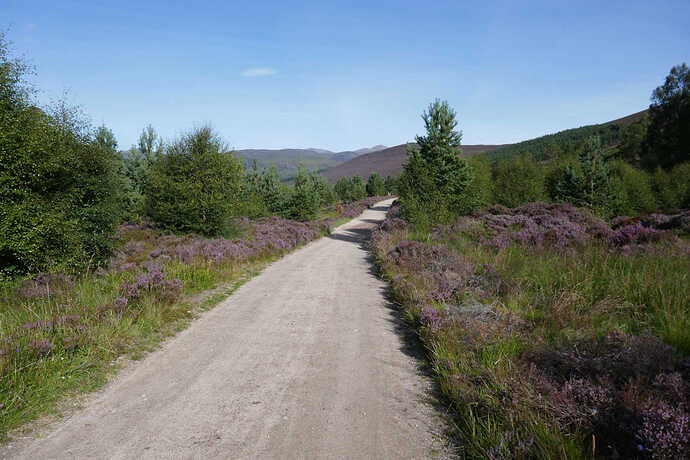
Blue sky, little wind, not too warm. About 70% of the track to Derry Lodge is smooth like this.
The rest is lumpier with stones and boulders but trivial TBH on a bike.
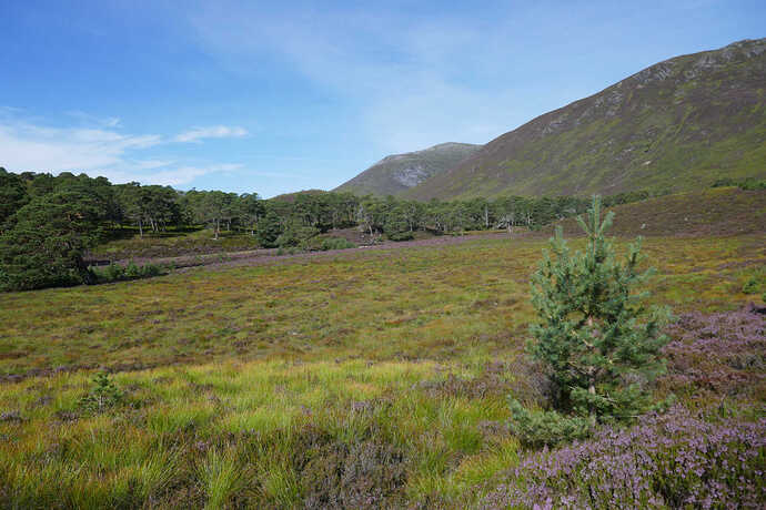
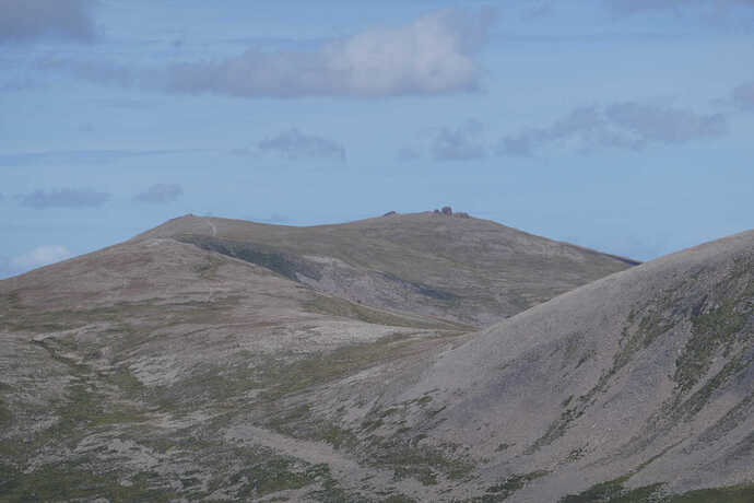
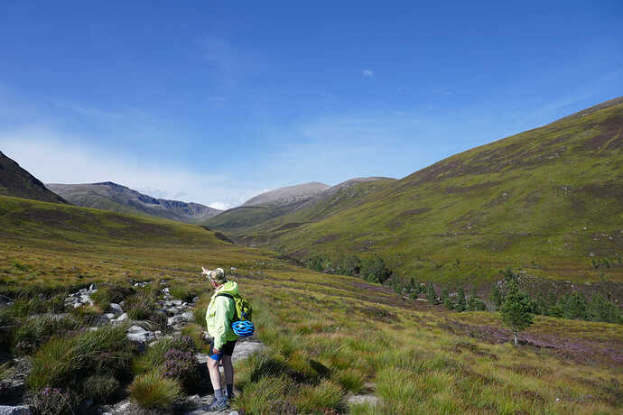
About a km after Derry Lodge you get to see the target, Carn a’Mhaim the distant hill in the centre.
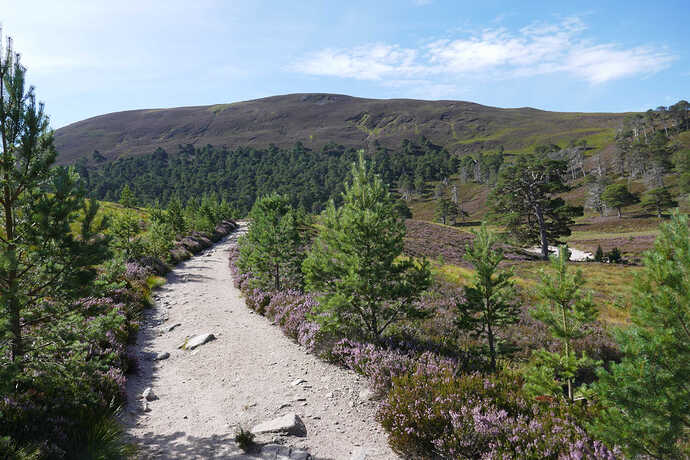
I made OK time to the Luibeg Burn and looked at the ford and boulders used to cross and decided the extra 15mins to the bridge was worth it as I’m rubbish at staying dry. The path leads through the forest and was amazing if just a bit midgey. Apparently around here, known as The Robbers Copse, there is one of the best concentrations of Adders to be seen. I didn’t see any.
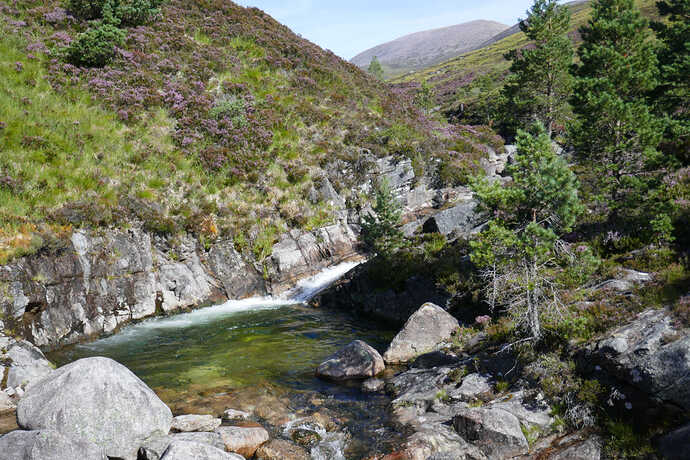
Looking North from the Luibeg Bridge. The volume of water was considerable and it was just so amazingly clear. I could have stayed here all day but the summit was calling. Back to the ford and onto the main path.
I did think of taking a shortcut but it was probably only a 300m saving and walking on good paths is often faster. Connecting with the main path the climbing starts, gently at first until the path splits, left to the Lairig Ghru and right to the summit. The climbing gets steeper and steeper and then you hit the stone steps. Huge amounts of work has been done to improve the path from what would be a boggy nightmare. Yes, you can see light brown rocky scar running up the mountain but this wont get worse where the original path would have worn more and more. The only part of the walk not on excellent paths is the boggy flood area at Derry Lodge and the path from Luibeg Bridge back to the main path.
Oh boy does it climb. It didn’t look too bad on the map but it was getting warmer and the breeze kept vanishing. I find I can climb steep paths easier that steps, I suppose you have to lift you feet more and push harder. I was flagging and was concerned about the return and I hadn’t got to the top yet. Anyway it was grimmace and push on, finally it levels out for about a km then one last push and you’re there.
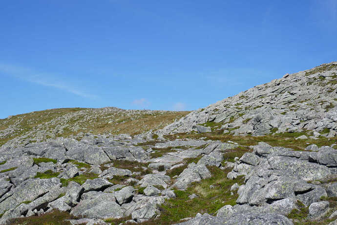
The summit (left) comes into view and not a moment too soon.
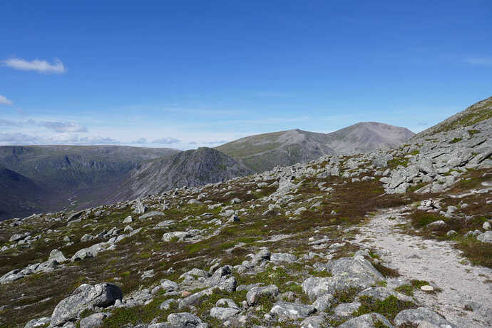
The view did get a bit good when the climb levelled out a bit. The Devil’s Point and Carn an t-Sabhail (Cairn Toul) GM/ES-003. It was this sight that gave my legs a real boost.
Carn an t-Sabhail GM/ES-003
Beinn Brohtain GM/ES-007
And then I was there but an hour behind the alerted time. A quick chat with a nice couple who over took me and I setup. Well I had a drink carefully rationing my litre of water. It only had to last the activation and decent as there was more than enough water in the Luibeg Burn. Then I lay in the Tundra, closed my eyes and had 10mins chilling time. I needed the rest. After that up with the trapped EFHW, out with the KX2 and off we go. Except the paddle would make the KX2 TX. Another 10 minutes trying more and more desparate measures till I found the key was plugged into the mic socket. D’Oh!
The bands seemed average, not too many chasers. But I managed 6 on 20m CW, the highlight being a groundwave S2S with Gavin GM0GAV who was on the GM/NS-033 about 130km NW of me. Definitely groundwave as the signal, 539 each way had constant strength during the QSO. Onto 15m and W3WC was ODX with 4 more Europeans. 10m brought in S06K and 1 more but no other takers. I spun up FT8CN on the phone and 10m FT8 was full of PP1 and ZS5s amongst others. I’ve not practiced using FT8CN yet and really need a cable not using the mic but it’s annoying when you like person to person radio and everybody is doing FT8 instead. 2 stations on 17m and 3 on 30m, all CW, completed the activation. It was 2.10pm and would be 2.30pm when packed up, so time to leave with a steep descent, walk and cycle ride and then 2+hr drive home.
As it was I got talking to a chap (Jim) who had been walking in these hills for over 50 years. Drinking in the views and just chatting away not wanting to leave meant it was 3.20pm when we finally left. We walked and cycled out together. Once I realised I was behind my expected times I decided to take a leisurely walk out with Jim putting the world to rights. It’s a tiring decent and never ending walk back to Derry Lodge. Off with the boots and onto my trusty stead and the pair were back at Linn of Dee in no time. Plently of people walking and cycling out and plenty of people walking in with tents for some wild camping.
Back to Linn of Dee and devoured again. Bike dismantled and squeezed into the car and I left at 618pm. It took 2h30 to drive home, I was tired so didn’t engage the warp drive and there were lots of holidaymakers driving slowly.
Now I’ve known for a long time that being on a smaller hill surrounded by big hills gives good views. Through in decent WX and the stunning Ciarngorms and you get an experience I wont forget in a hurry. One of my best SOTAing days even if the radio was average.
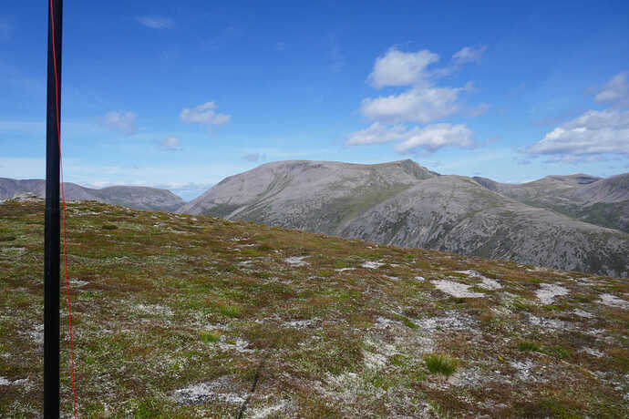
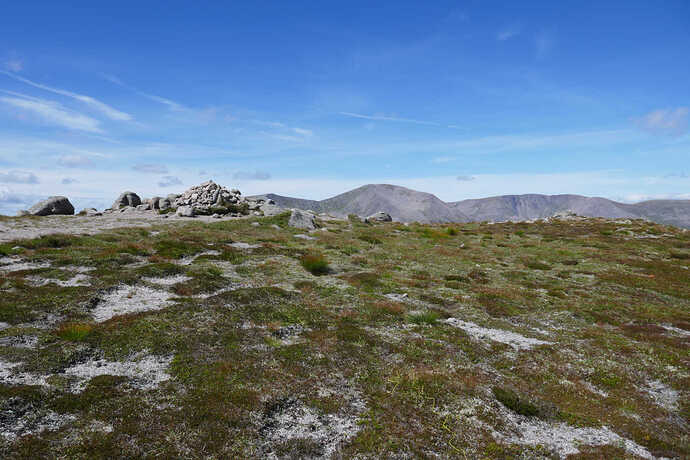
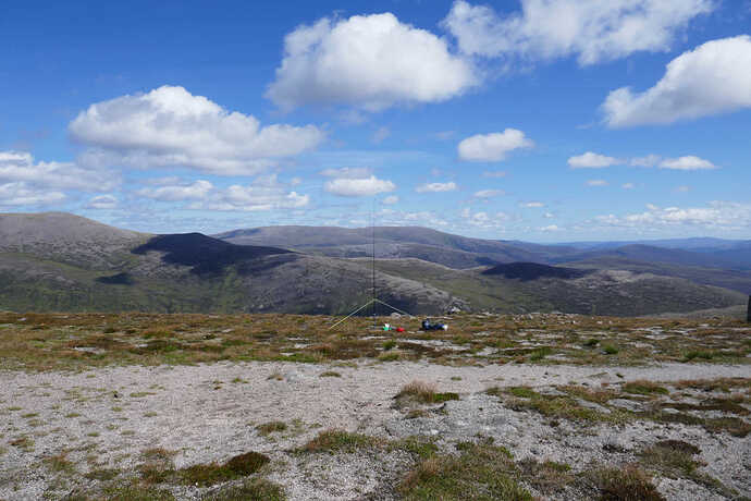
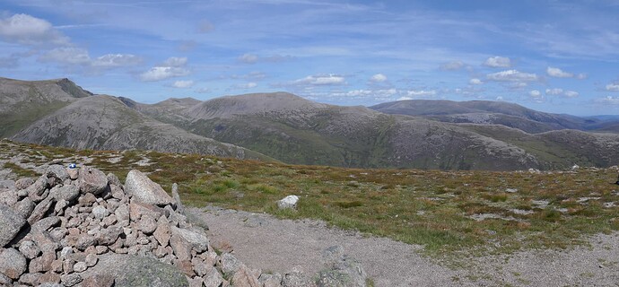
Shack view on GM/ES013 looking at Beinn Mac Duibh (Ben Macdui) GM/ES-001
The other shack view, Braigh Riabhach (Braeriach) GM/ES-002
And now it just gets stunning, Bod an Deamhan (Devil’s Point ), a Munro but not a SOTA summit.
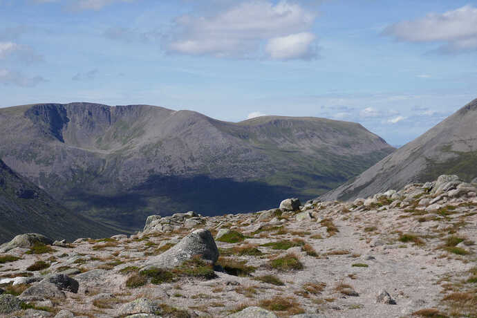
Carn an t-Sabhail GM/ES-003 with Coire an t-Sabhail (right) and Coire an t-Saighdear (left)
Beinn Bhrotain GM/ES-007
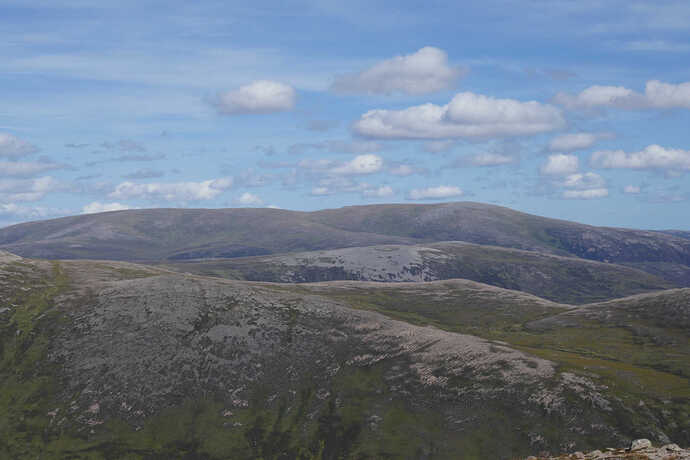
Looking out to a hazy Lochnagar GM/ES-008 to the East basically.
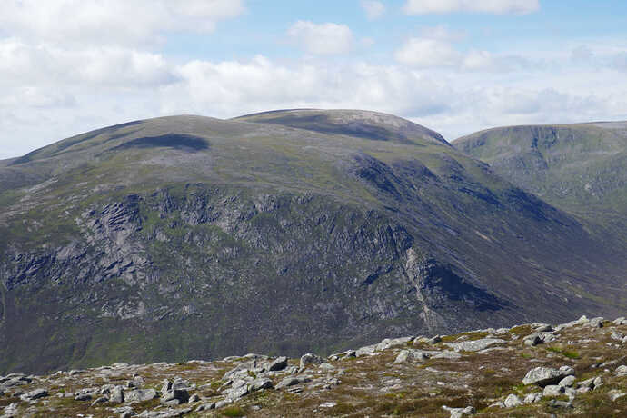
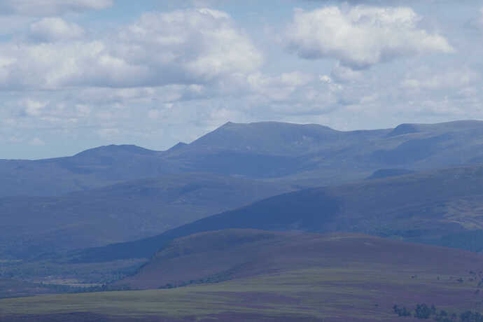
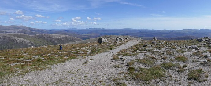
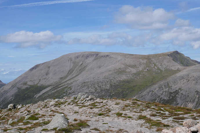
Derry Cairngorm (near ridge, left) and Beinn a’Bhuird GM/ES-004 (centre far distance)
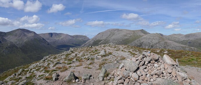
Unlike some associations, SOTA in Scotland is quite hard work, this photo shows 3 of the UK’s tallest mountains and another high SOTA summit. That’s a huge amount of effort for only 40 points! L-R Cairn Toul GM/ES-003, Braeriach GM/ES-002, Ben Macdui GM/ES-002 and the far hill towards the right edge, Beinn Mheadhoin (Ben Vane) GM/ES-005
The cliffs of Coire Sputan Dearg at the end of Ben Macdui with a path off down Sron Riach, Beinn Mheadhoin in the distance, Derry Cairngorm and Beinn a’Bhuird .
Lookin East to South with Mount Keen GM/ES-014, Lochnagar GM/ES-008 and Glas Maol GM/ES-012 on the distance horizon. Just behind the boulders at the right edge one ridge back is Sgor Mor GM/ES-026
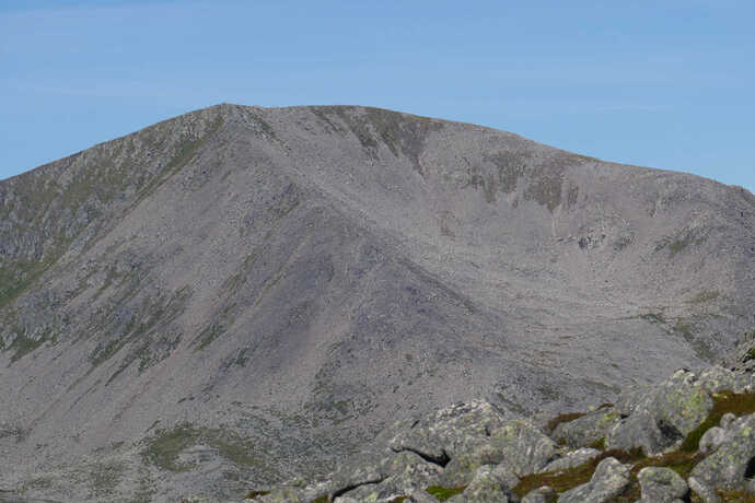
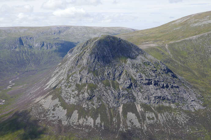
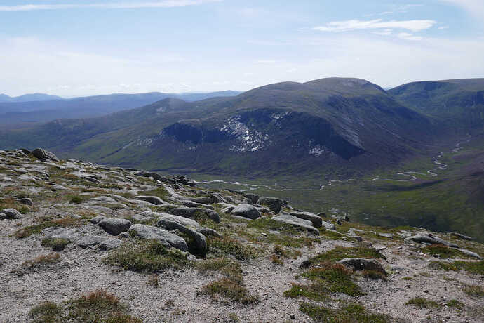
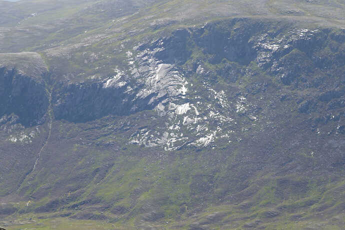
The rocks on Beinn Bhrotain look shiny. I’m not sure why, I don’t think it was water so was that they were polished when the glacier carved out the Lairig Ghru in between me and the summit?
Zoom onto Beinn Bhrotain shiny rocks.
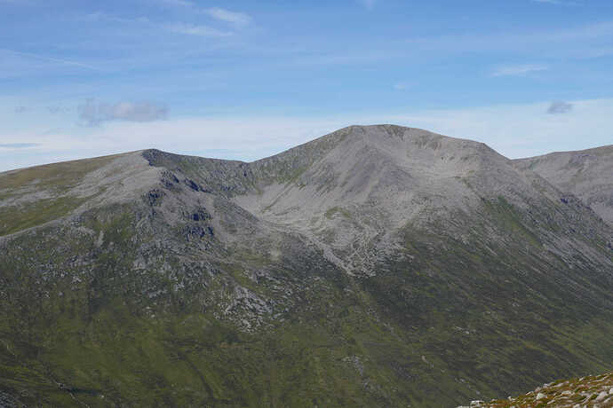
It’s hard to comprehend just how big Ben Macdui GM/ES-002 is until you can see it from nearby. For scale the top of the ridge from the left to right is about 2.5km
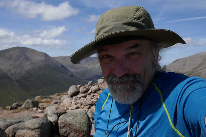
I really was at the summit. Knowing what a slob I was, I have difficulty believing I’ve climbed some hills!
Braeriach GM/ES-002 with Coire Bhrochain
Beinn a’Bhuird GM/ES-005
Beinn Mheadhoin GM/ES-004 and his Tors which are 30ft or so high.
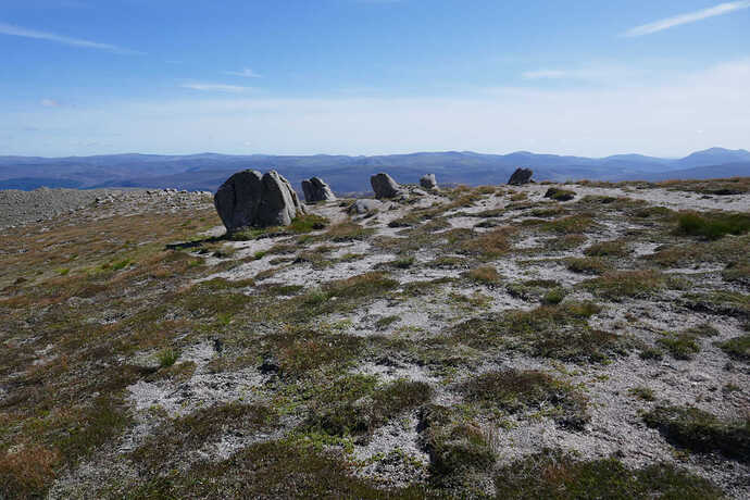
Carn a’Mhaim and his Tors which are about 3ft high!
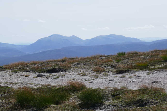
Beinn a’Ghlo group, Carn nan Gabhar GM/CS-003 on the left and Braigh Coire Cruinn-Bhalgain GM/CS-009. You can see that the soil up here is really very fine gravel. Trivial to push a tent peg all the way in. Proper Tundra type vegetation this high up.
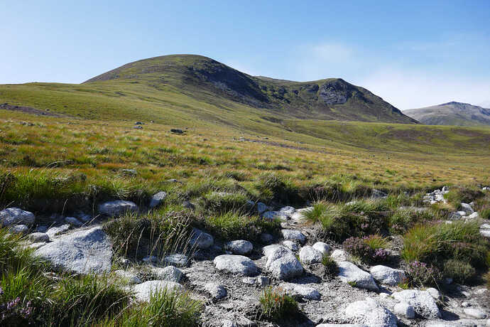
Carn a’Mhain GM/ES-013 from about halfway from the Luibeg Burn ford and the the path to the summit.
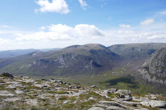
Coire Sputan Dearg (left) and Derry Cairngorm (grey hill right) looking up Glean Laoigh Bheag. The guy in yellow is my walking partner for the return trip, Jim from Aberdeen. Apart from trees at low levels, there’s nothing much but heather, Tundra vegetation higher up and mountains.
With views like this, you can understand why I was reluctant to leave. You don’t get days like this everyday of the week in Scotland.
Finally total covered was 24.2km with 10.5km on the bike and 13.7km on foot with a total ascent from the car park of 908m. yeah, that’s why I was tired ![]()
(c) OS 2014
This is definitely a hill to repeat but only if the WX is good.
