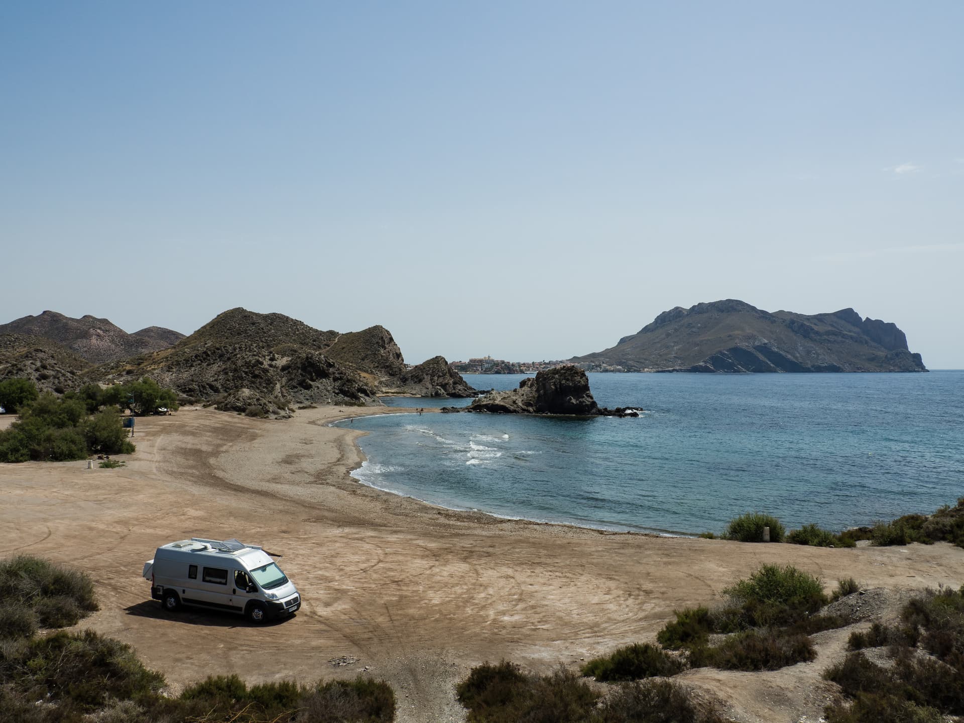
Today I activated the Cocón de Cope EA5/MU-162. I have come across this summit before on one of our first trips to Spain in our campervan. We parked on the beach for lunch with the summit in the background, on the right.
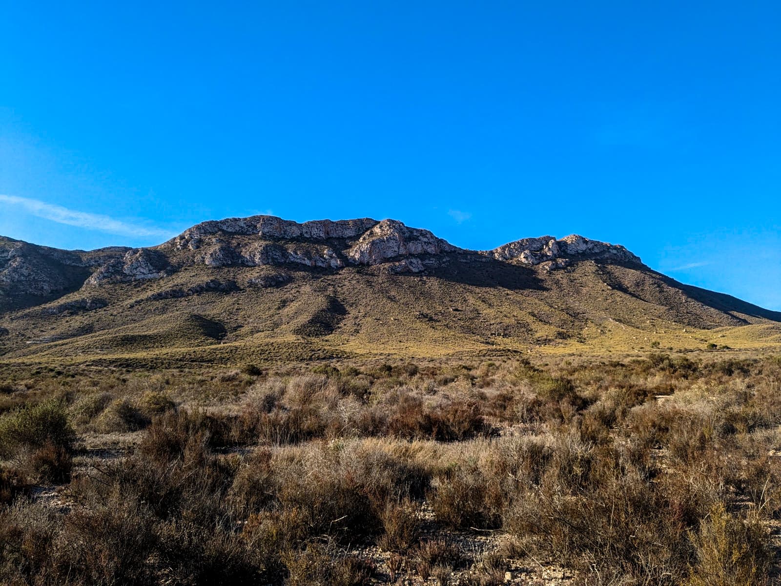
And today, from the other side and a bit closer.
The route is a steep and well-worn path to the col or saddle between the two summits on the right. I started out just before 0900 local time, the temperature was around 18°C and part of the path was in shade, which was very pleasant.
Looking back towards the col on the final stretch to the summit.
The summit area is wide and it was easy to keep away from the cliffs. Not everyone does, someone fell on this summit late yesterday afternoon and they were airlifted out by air ambulance. We watched it land from where we are staying in the campervan. ![]()
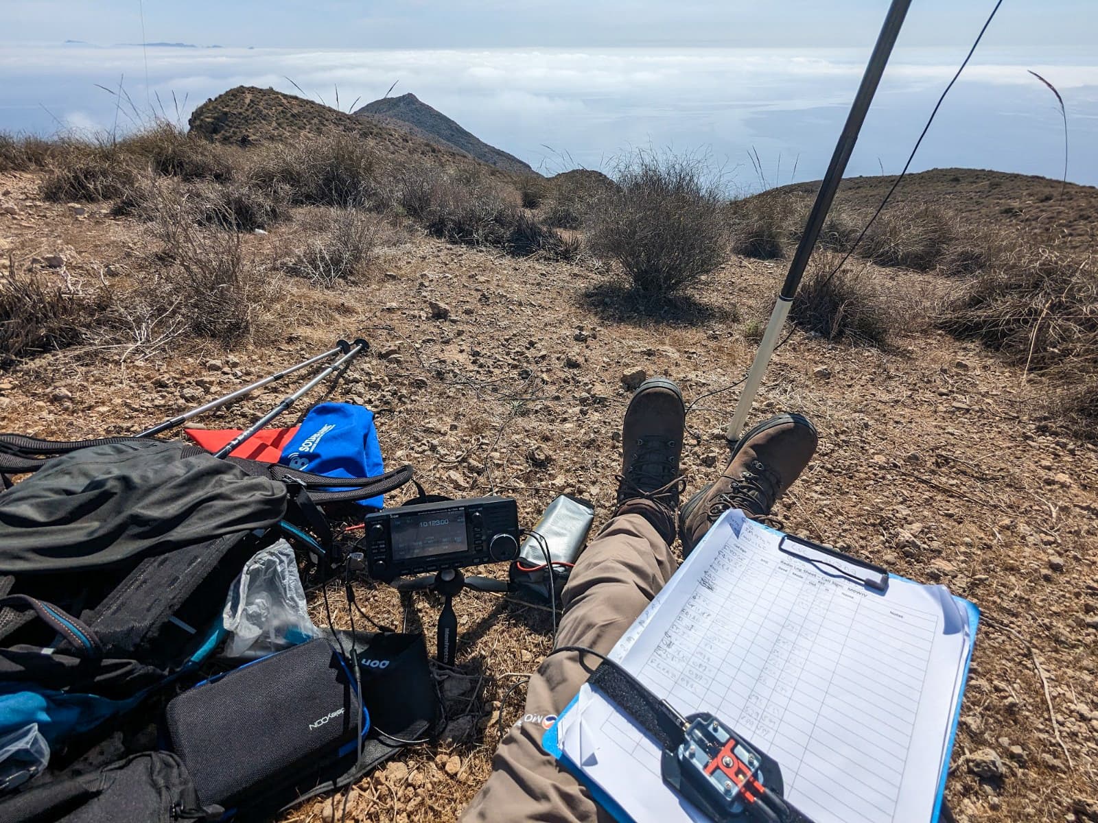
I had pegs but had left the heavy hammer needed to drive them into the ground from the packing list. So I improvised by tying the antenna and single guy rope to the clumps of dry vegetation scattered all over the ground. With no wind this worked fine and was easier than searching for rocks.
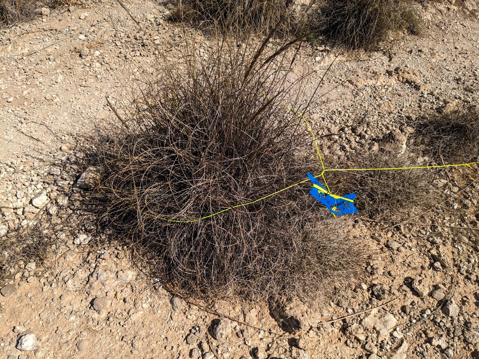
It was only after doing the first one I realised there may be things resting under these clumps - scorpions, snakes, that sort of thing. Rocks might have been safer but I once lifted a rock in Portugal to find a small snake resting underneath. I subsequently identified it and was only slightly reassured to learn it was described as only “moderately venomous”.
However, having survived the erection of the antenna I sent out CQ on 30m which was quickly picked up by RBNhole and a spot posted.
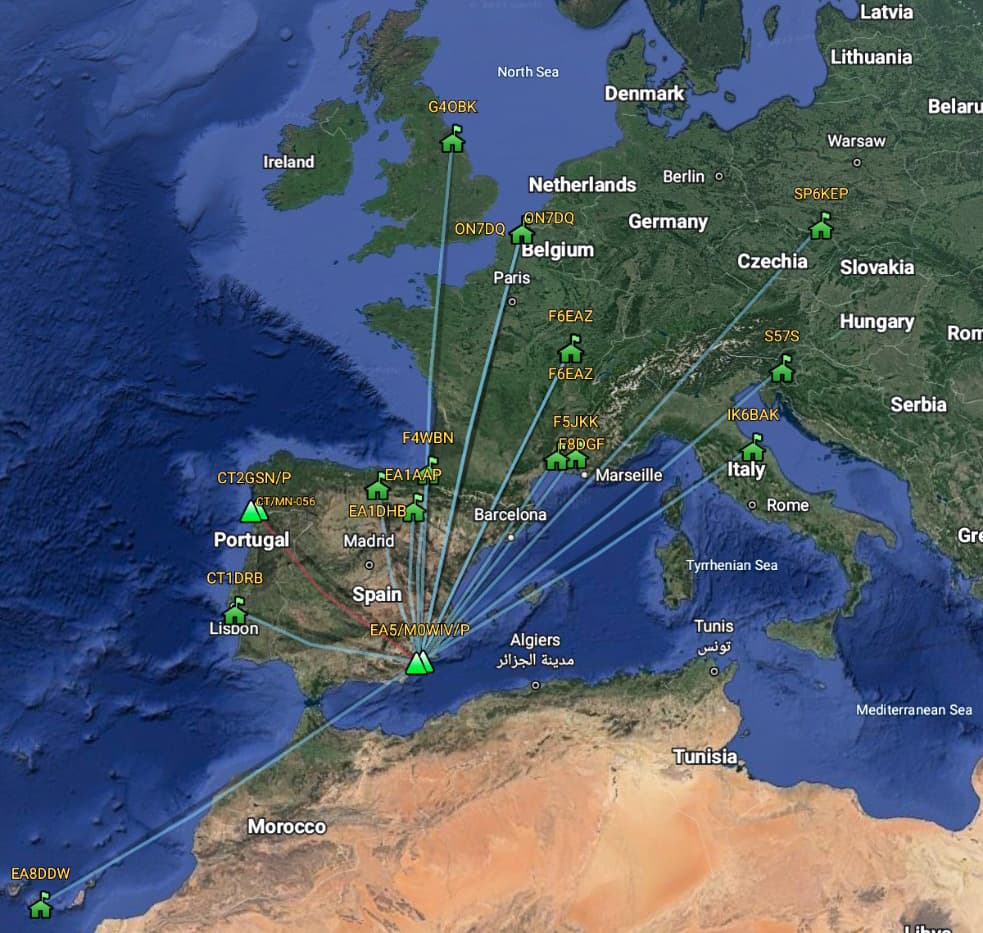
A string of QSOs came in, including several well known callsigns. 40m SSB brought only one QSO but 20m SSB was better and the better still for the opportunity to speak with Luc ON7DQ who had been the first to activate this summit. My final QSO was a S2S with Joao CT2GSN/P on CT/MN-056. At this point I decided I had been sitting in the sun long enough and it was getting warm so I closed down.
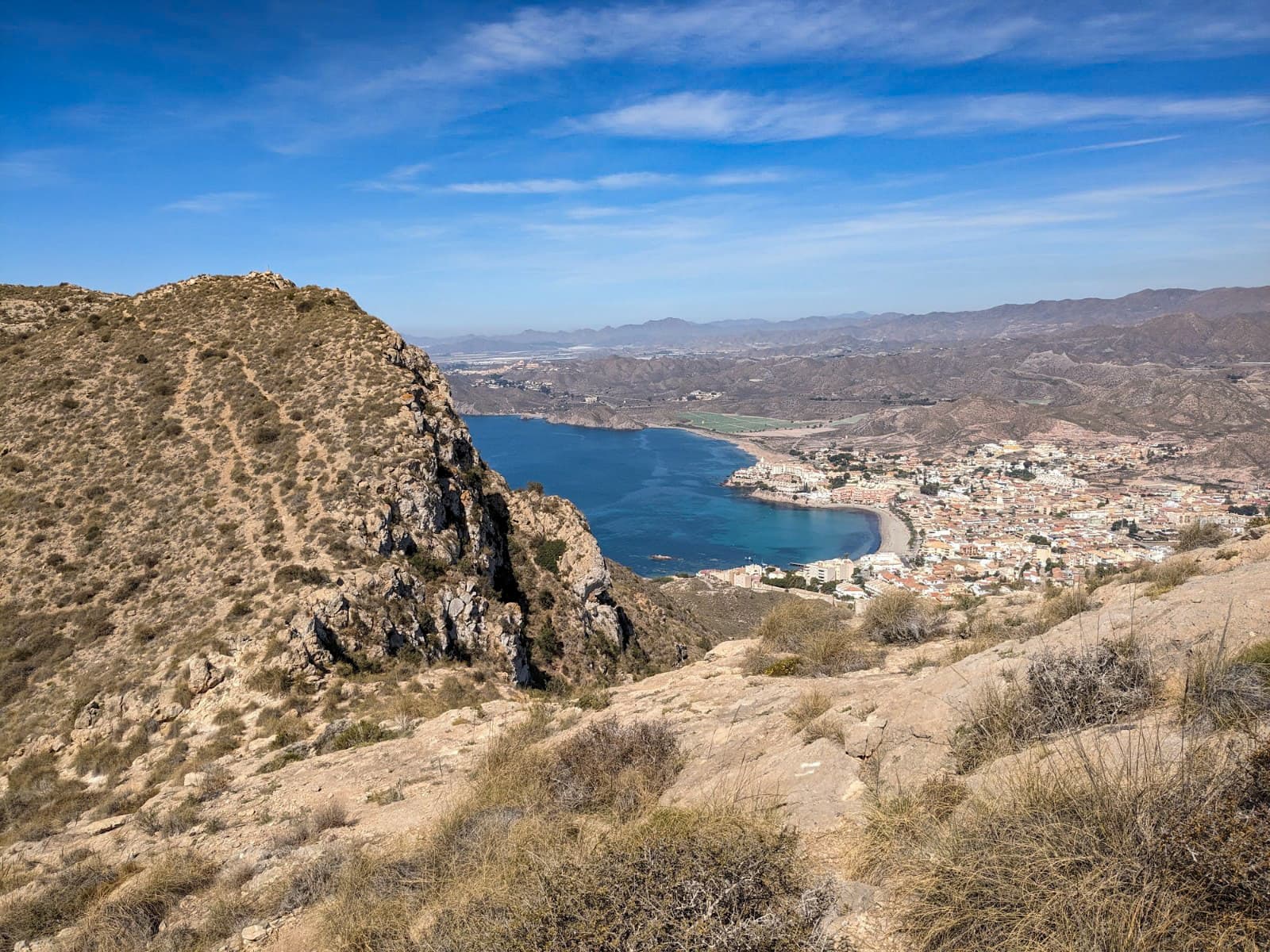
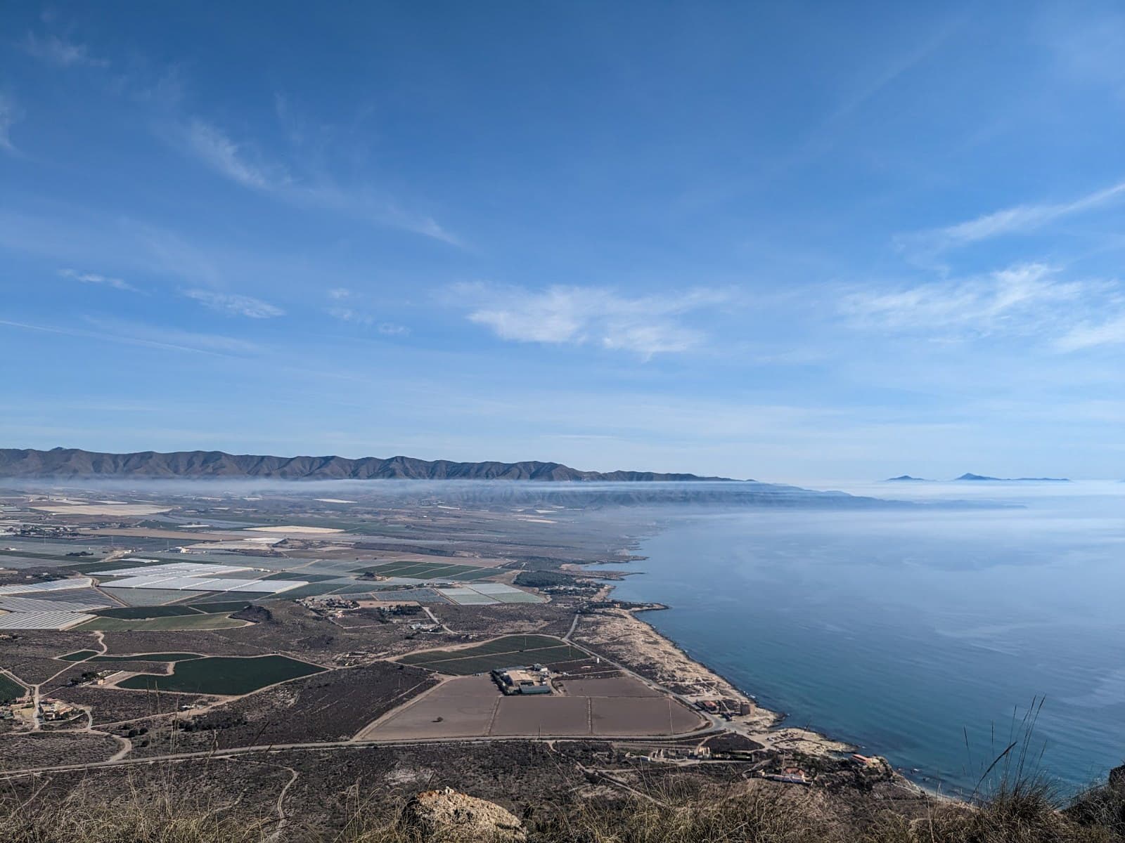
View from the summit.
Map of QSOs.
The are a lot of unactivated summits inland from here as this map shows.
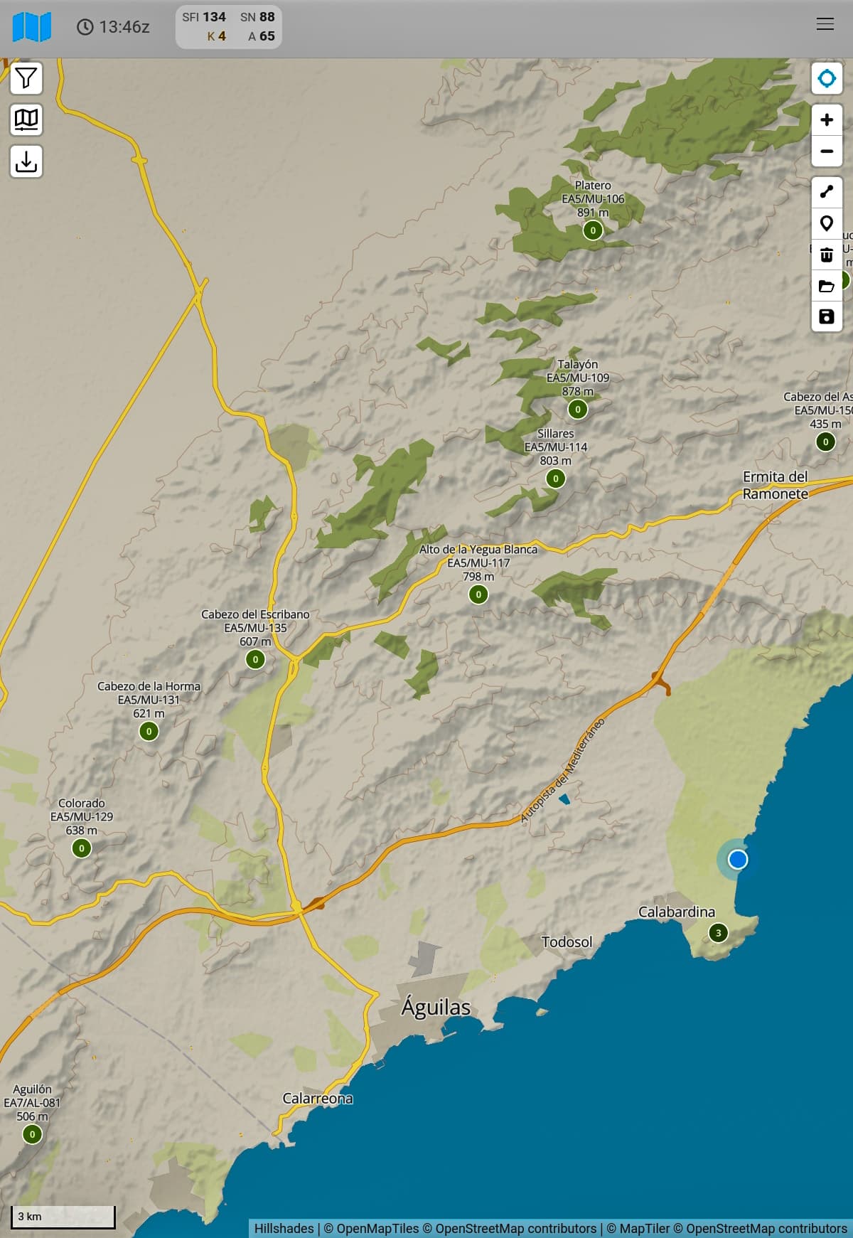
But this is dry, rugged and largely pathless country. I will be sticking to the easier summits on this trip. ![]()
Very many thanks to all chasers. With practice my CW may yet improve!