Summary of Activation :
- SOTA Summit: GM/SS-027 : Ben Donich : 847m : 4 pts
- Activation Date: Wed 19-Nov-2025
- Callsign used: GM7STP/P
- ALERT : 12:30 UTC : Time approx.
- SPOT : at 11:58 on 145.500 : QRV, windy
- Equipment : for 145-fm :
- Rig: Icom ID-52 handheld / 5W
- Antenna : ID-52 Antenna plus a counterpoise. (Slim-G not used)
- Mast : Not used.
- Successful QSOs :
- On 145-fm : 145.500 MHz, etc : QSOs = 5.

- On 145-fm : 145.500 MHz, etc : QSOs = 5.
Setting Up :
Arriving at the summit ahead of my target ETA, I began setting up. Ben Donich summit has a trig point on mainly rock. With snow all around and quite a chilly wind I decided not to bother with the Slim-G and mast, and looked for the nearest rock for a bit of shelter, rolled out my carrymat onto the snow and got sorted ready to spot. SPOTted myself on Sotawatch3 QRV / windy at 11:58 on 145.500MHz.
Operation on 145-fm :
By about 12:00 UTC/GMT I was QRV and calling CQ SOTA.
Within a few minutes I got my 1st QSO from Peter @GM0VEK over near Kirkintilloch; 145.500 QSY 145.400. Peter was also my 1st QSO on both The Brack GM/SS-040 and Beinn Dearg GM/SS-207. ![]()
My 2nd QSO on 145.400 with Gordon @MM3GQT (Gardeners’ Question Time !) in Cumnock.
My 3rd QSO followed shortly after with Mike @MM7SKL/M in Greenock with a R57/58, S59.
My 4th QSO followed about 5 minutes later a very quick QSO with Jim @GM0GMN on 145.400; R59 and S59. Great to get the 4th for the activator points ! ![]()
Despite it getting cold, quite a wind-chill going on, I continued to call CQ on 145.500 for a further 15mins and was rewarded with a 5th QSO, this with Brian @GM3EMP over at Braid Hills, south of Edinburgh after QSY to 145.475; R55/57 and S59. ![]()
By this time it was getting too cold to stay at the summit much longer ![]() so I then happily packed up and headed back down a little below the AZ until I found a sheltered spot to rest and warm up with some hot tomato soup !
so I then happily packed up and headed back down a little below the AZ until I found a sheltered spot to rest and warm up with some hot tomato soup ! ![]() A short while later I carefully made my way back down the hill to the car. Superb views in superb lighting all the way down.
A short while later I carefully made my way back down the hill to the car. Superb views in superb lighting all the way down.
Overall a very successful activation. Thanks to all my Chasers. Very enjoyable QSOs.
Background stuff : Route & Photos :
Route Start : Forestry Commission Car Park left off the B828, past the Rest And Be Thankful viewpoint.
Route Finish : Summit : Ben Donich : Refer to SotaMaps GM/SS-027 at 847m.
Distance to Summit : 3.2 km over elevation of 847 - 284 = 563m approx.
Wx : A clear and sunny day. Snow on the hill along with a chilly wind; especially on the summit !
Route:
From the car park follow the forest track round to the signpost marking the start of the path to Ben Donich. Return route taken from the summit was the same in reverse …
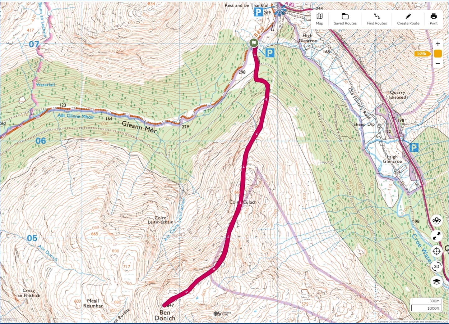
“Contains OS data © Crown copyright and database rights 2025”
OSMaps-GM7STP-GMSS027-01.jpg : Route: Forestry Commission Car Park to Ben Donich
Photos :
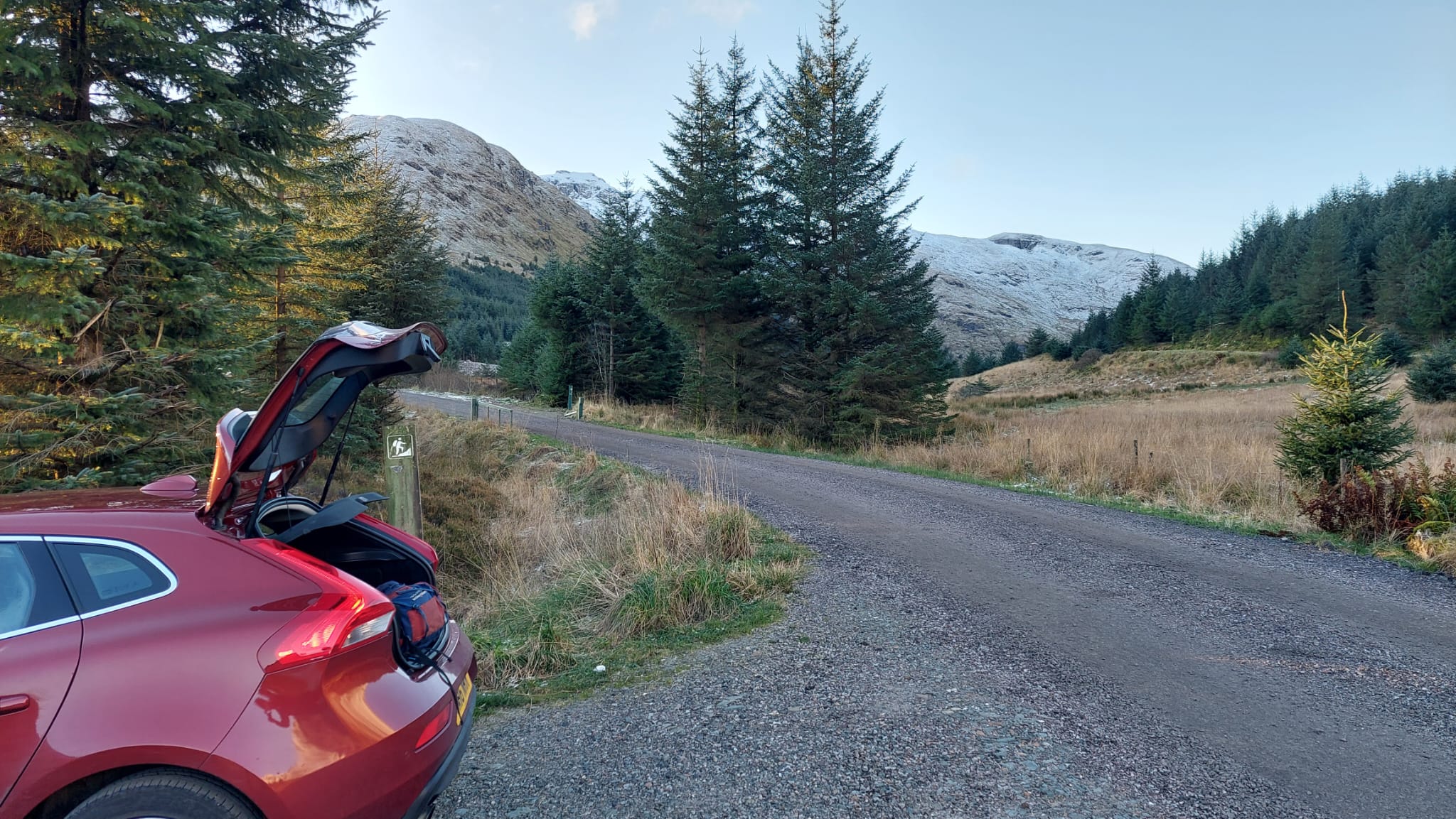
Above : Photo-01 : At the car park just off the B828.
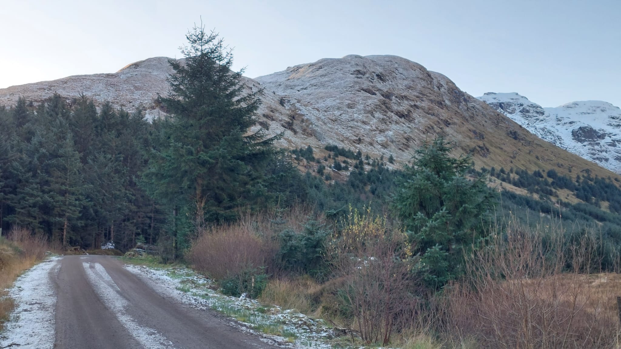
Above : Photo-02 : On track to start of path to Ben Donich.
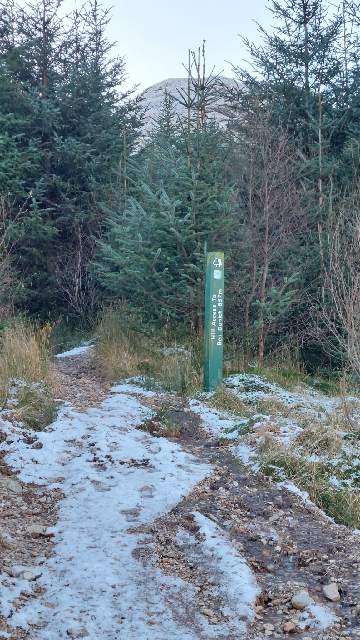
Above : Photo-03 : Signpost for start of path to Ben Donich … 857m vs OS Maps 847m.
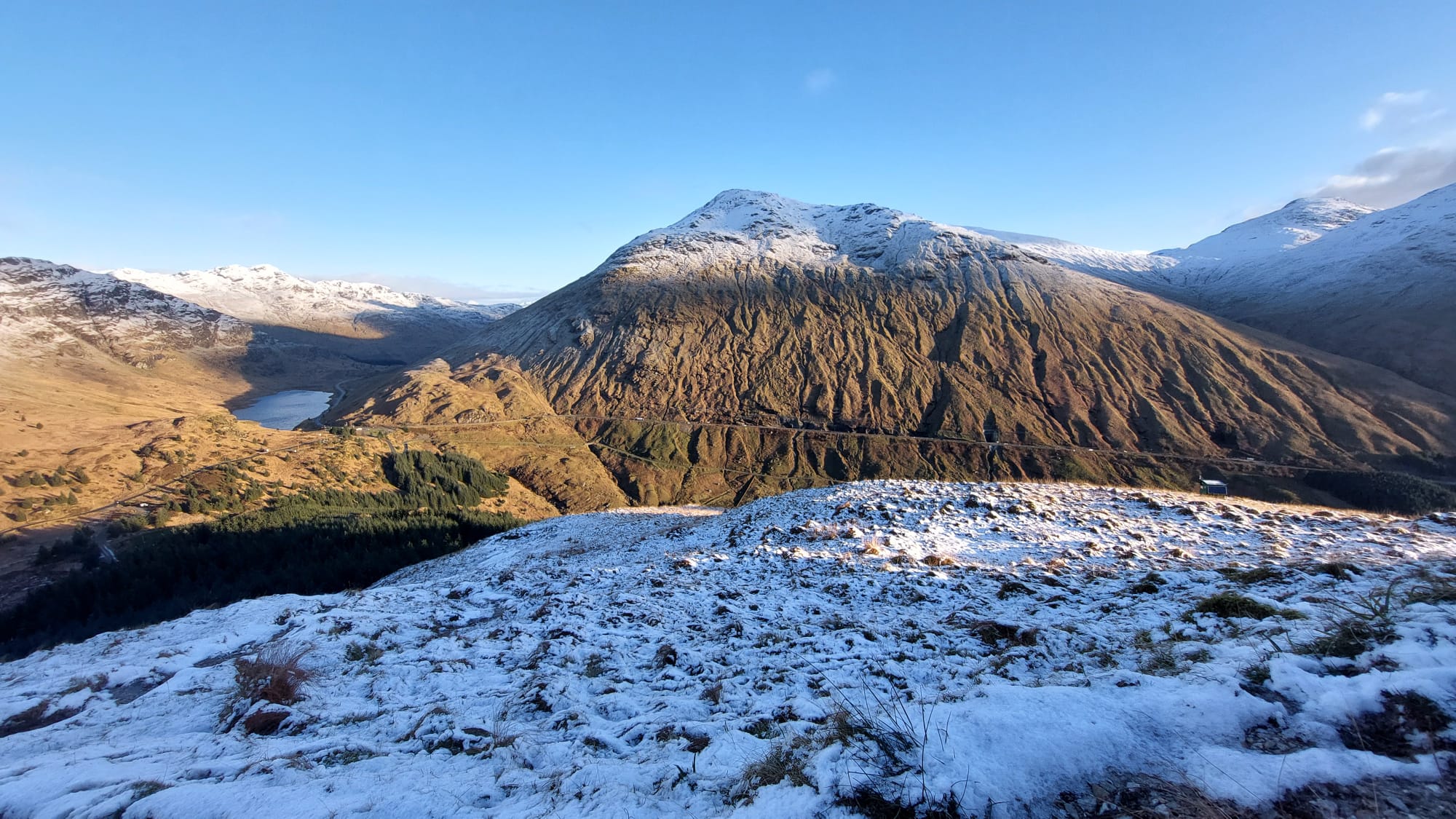
Above : Photo-04 : Ascent view back towards the Rest And Be Thankful and Beinn Luibhean.
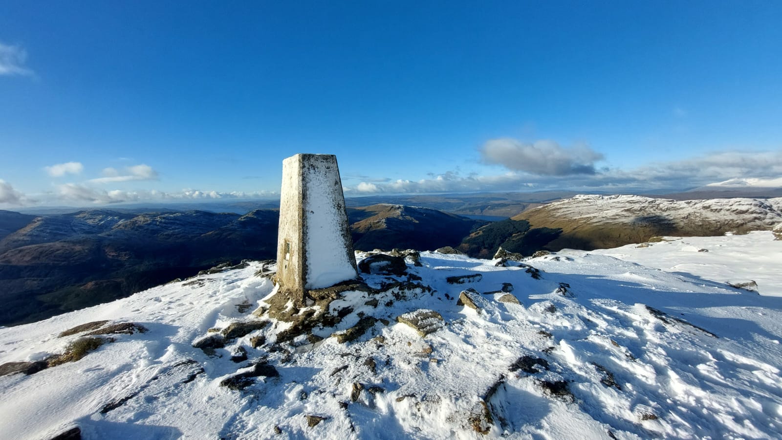
Above : Photo-05 : Ben Donich summit trig point with view towards the west.
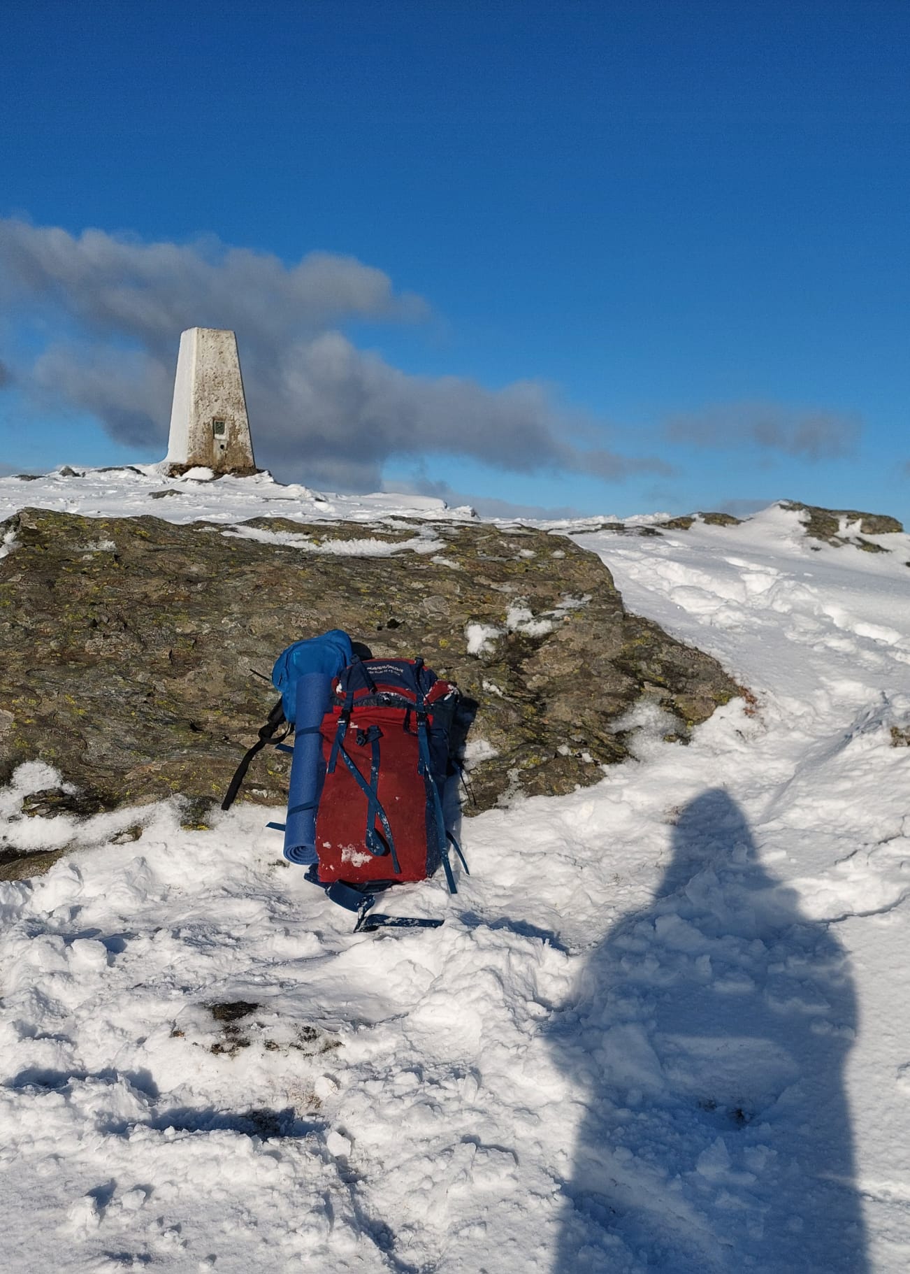
Above : Photo-06 : Ben Donich : Operating position just down from the trig point.
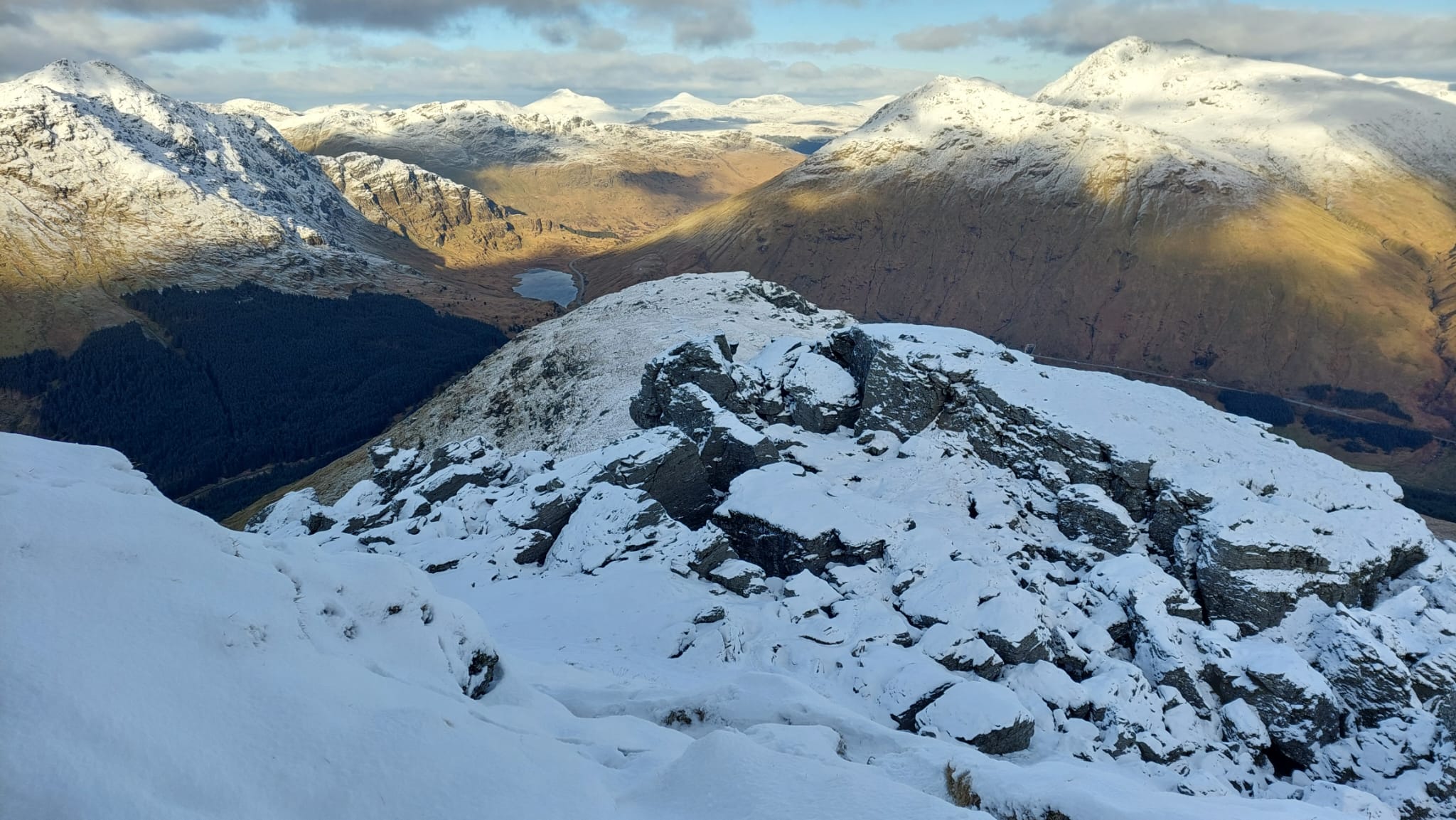
Above : Photo-07 : View on descent L-R : Beinn An Lochain / Loch Restil / Beinn Luibhean / Beinn Ime … the foreground is part of Ben Donich about half way down !
A great day out successfully activating Ben Donich ! ![]()
Thanks to all the Chasers for all the QSOs. ![]()
73 Peter GM7STP