Joint activation with @G5OLD.
24/10/2026
Weather clear and sunny almost all day, light breeze gave some relief from the heat at times.
Route:
Tim had climbed this summit in 2025 and knew an ideal parking location at a hairpin bend, where there is plenty of room for 1 car to get off the road. Location 27.93235N -15.78996W.
Walked approx. 40m back up the road to the east and a small line of cairns can be seen leaving the road up onto the hillside. These cairns will be your friend for the rest of the day… keep looking!
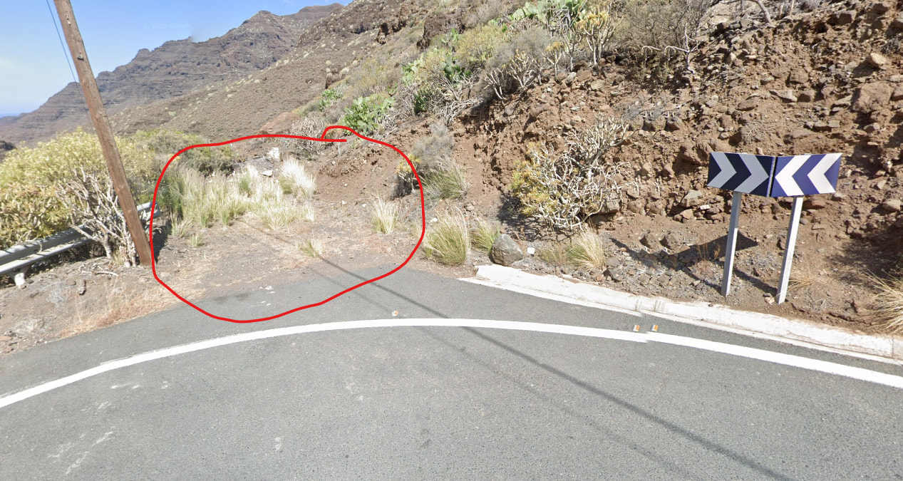
Parking spot
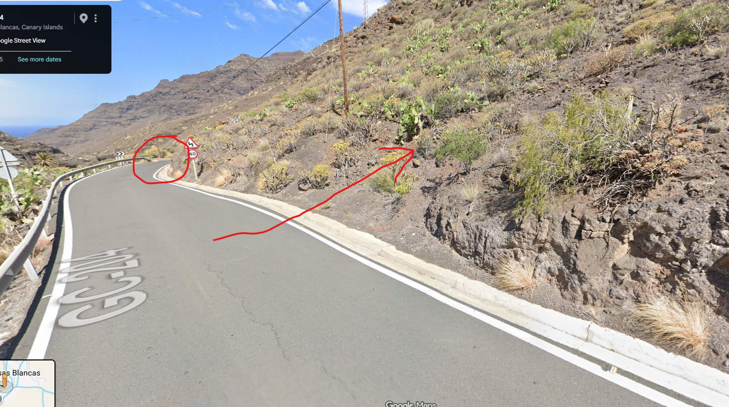
Parking spot and where you leave the road.
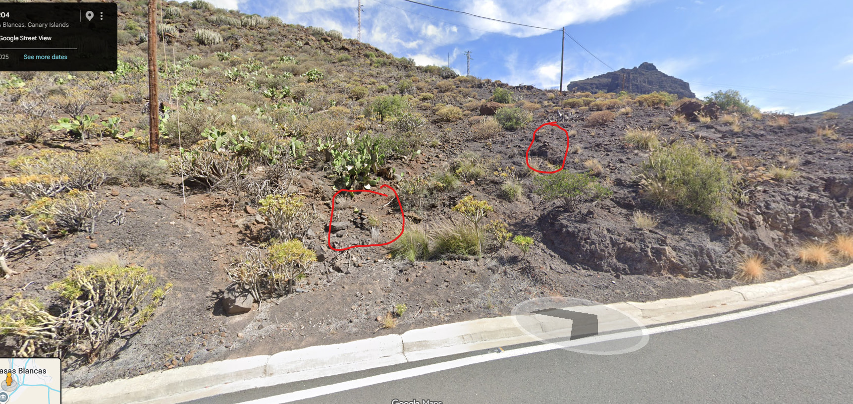
Where you leave the road and the first two small cairns to look for.
The route to the summit started straightforwardly, but after the first small plateau, you start on the first of the small crags. Nothing is technically difficult at any point, but it is rough and you definitely need to use your hands.
The first part of the route follows a spur leading towards a subsidiary summit. This spur has numerous small rocky outcrops which are either climbed or flanked. After around 1.1km the ground in front starts to get much steeper.
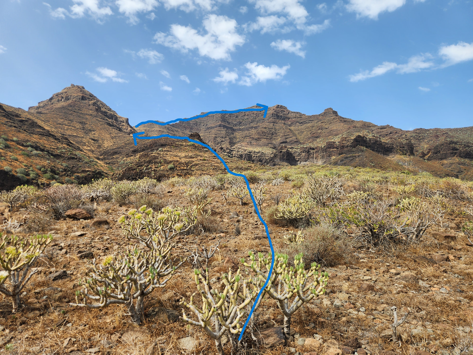
At this point the track and cairns take a right (North) turn and traverse above cliffs, this is easy terrain, but with a significant drop down to the right in places.
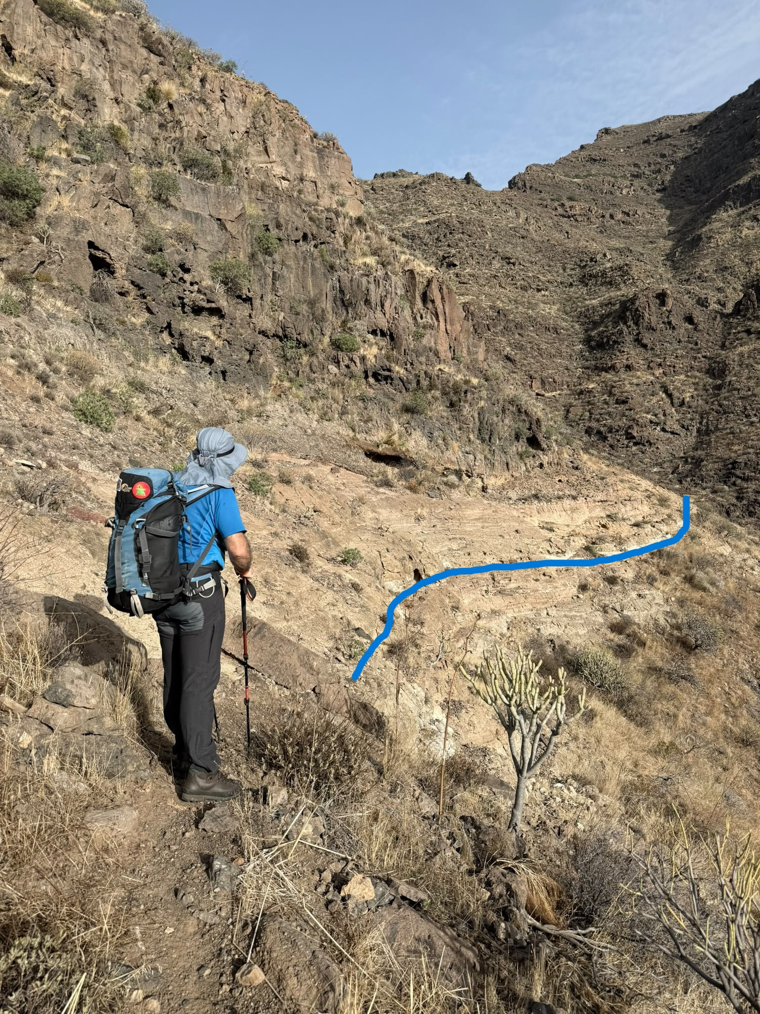
After the traverse you enter a small valley, it is tricky to keep to the path as it is overgrown with grasses in places.
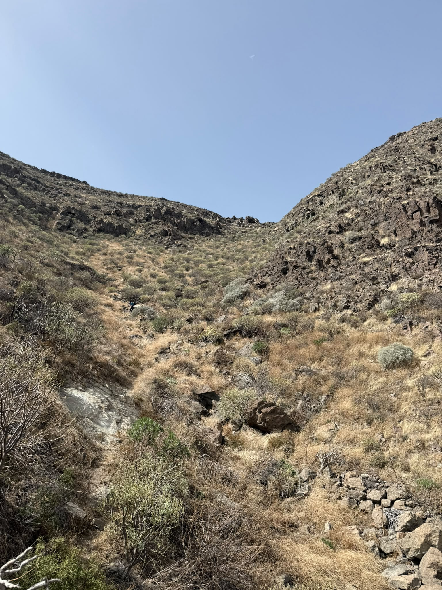
This is followed steeply, but without difficulty to a col.
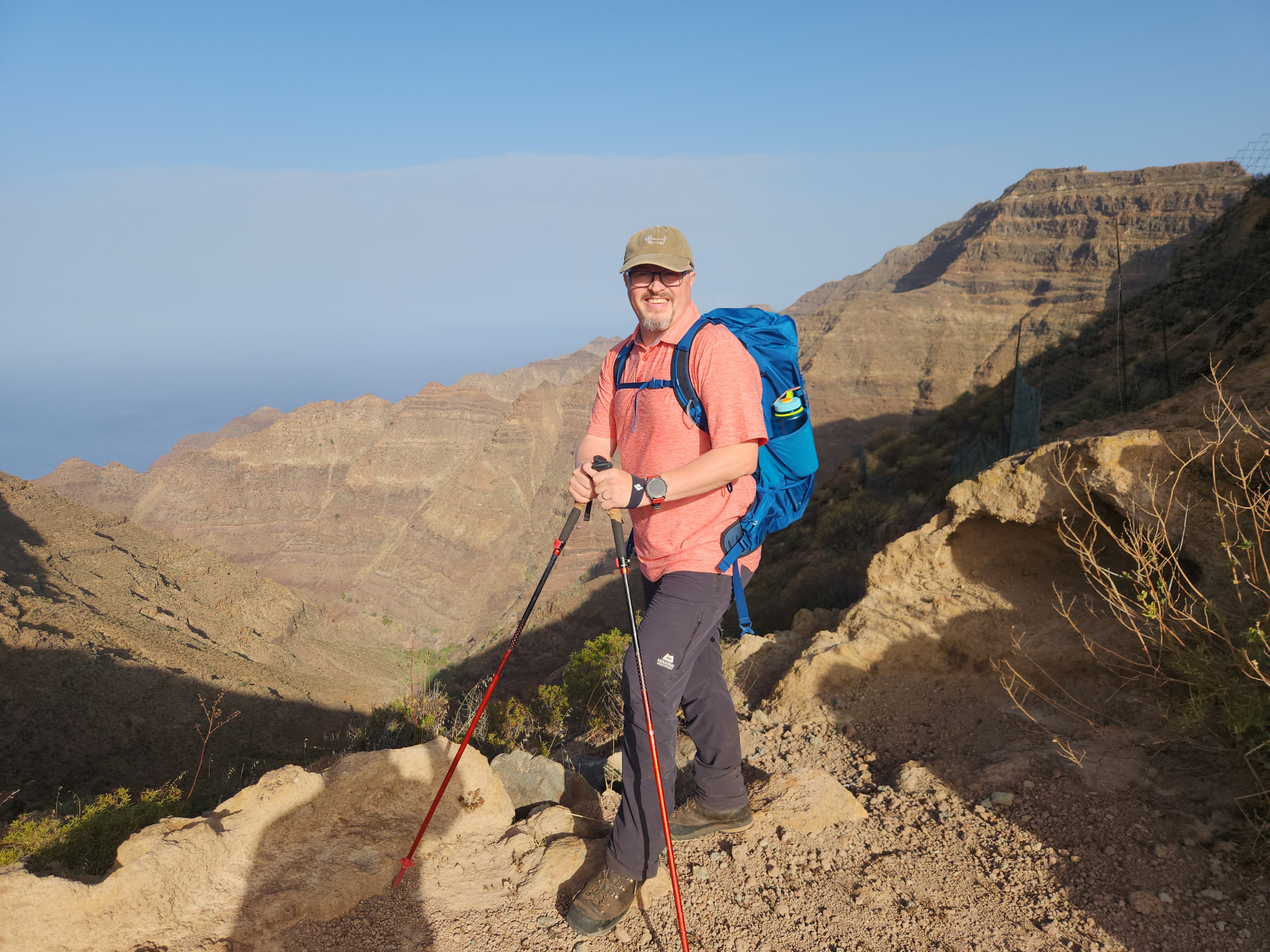
I was amazed to find a substantial fence at this point! I guessed (possibly wrongly) that it is to keep grazing animals out of some type of conservation area.
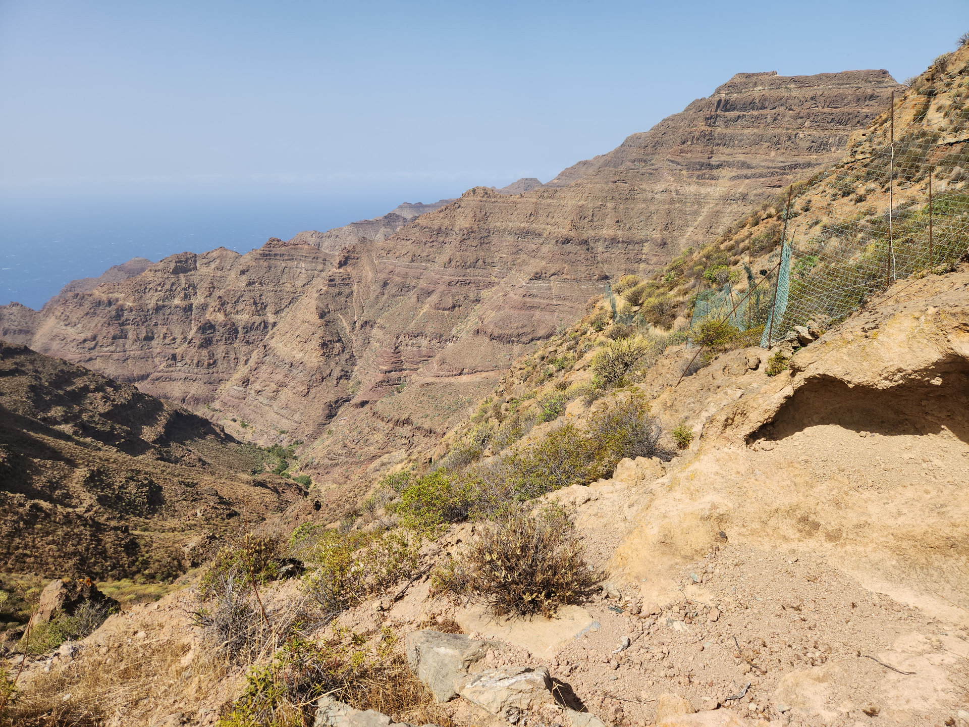
At this point we turned up towards the summit, without crossing the fence line, which eventually falls away into the valley below.
The ground now gets progressively more serious, with numerous small rocky bluffs and technically easy, but serious, traverses as you thread a route through the steeper craggy areas.
Eventually topping out onto the summit plateau via a final traverse to the right. Keep following those cairns!
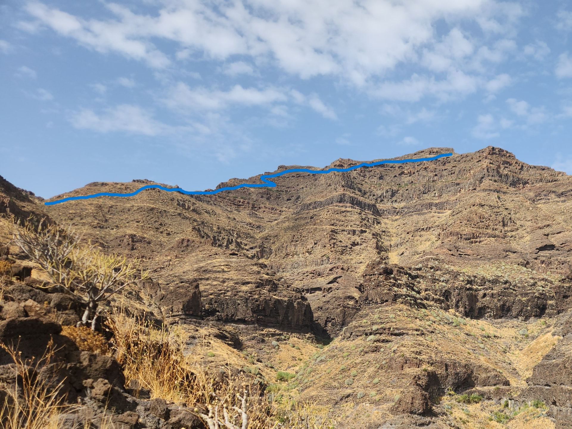
Line is indicative and should not be taken literally.
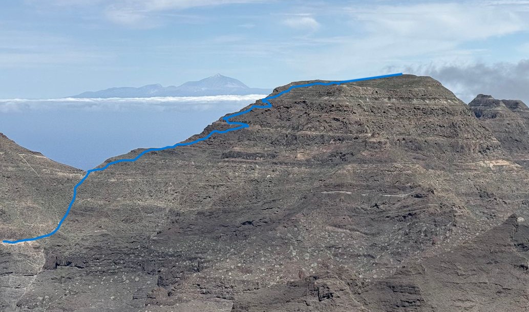
Picture by Tim from an adjoining summit. Line is indicative and should not be taken as exact.
After this final traverse you arrive at a surprisingly expansive plateau where the summit is crowned by a large cairn.
Operation:
Tim set up his HF vertical with his KX2. Most of our QSOs were achieved using this set up, with my own QSOs on 18MHz and Tim on 28MHz, battling the contest stations.
I set up my SlimG and IC-705 for 2m and achieved 2 x 2m contacts, 1 on SSB and 1 on FM.

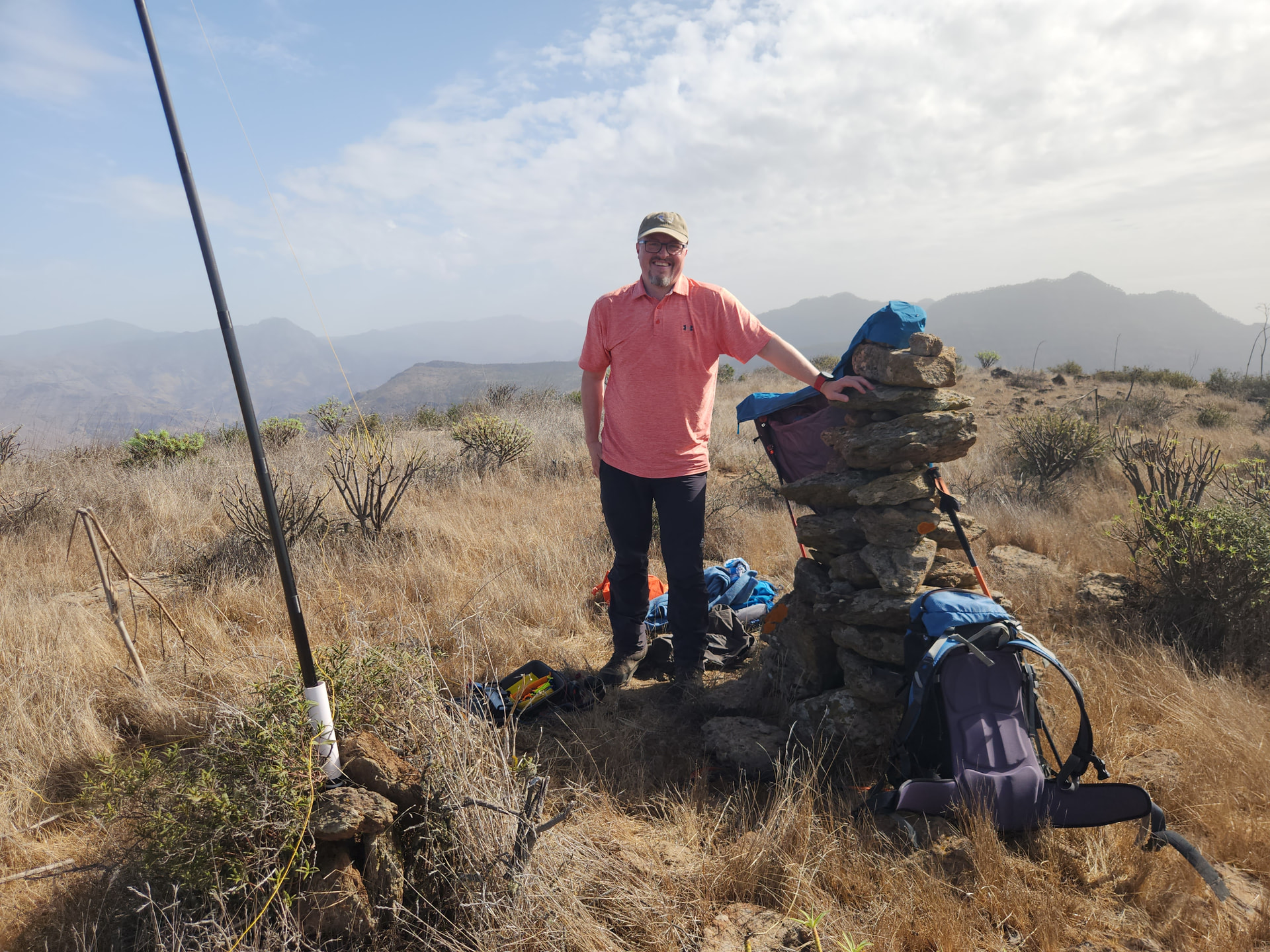
Following the activation the descent was taken slowly (the day is not over until it is over…) as there were many opportunities for slips, trips and down climbing to have serious consequences.
Thank you from me to Tim for guiding me up his route from last year. A proper mountain day!