Here is a video of my activation of Mt Noorat (VK3/VS-054), a volcanic summit in Western Victoria near Terang, about 3 hours west of Melbourne, about 90 minutes before sunset. The visit was last November and I forgot to post it, so here it is, better late than never, and a good sampler of what UK and Euro CW DX sounds like at the south-east corner of Australia. I will sure miss these great band conditions in a few years time when the ionosphere goes back to sleep.
Mt Noorat is not a big one at 310m ASL, 1 point, and one of a dozen volcanic summits rising abruptly out of Victoria’s western plains. Although only a 1-pointer, the summit provided a wonderful SOTA activation experience, a pleasant walk up, beautiful views, a pristine environment, some local history, and best of all, S1 noise floor and two logbook pages of DX contacts.
Using a homebrew 5 watt CW and SSB rig on 40 and 20 to a 10m wire, quarterwave on 7mhz, end fed half wave on 20.
Working VK, ZL, Europe, UK and Texas. Thanks to all chasers, particularly the regulars.
Nice report. BTW the summit number in the text should be VK3/VS-054.
The recent history includes a tragic accident from which the mountain become public property. The earlier history in the 1800s would also involve some tragedy.
Although not really high like a number of its brother volcanoes in the West it affords wonderful views of the countryside.
Thanks for commenting. I searched for recent history at Noorat and found that the mountain passed into public hands from the Black family in 2012. The area has a dark history in the 1850s for sure. Corangamite Shire has done a nice job to open up the walking track with picnic facilities.
I also discovered (wikipedia) that the Western Victorian Volcanic Plains in Victoria are the third largest volcanic plains in world.
If you draw a line around what some people would consider the south west volcanic plains, west of Melbourne to the South Australian border, and as far north as the Grampians and Ballarat, but excluding Grampians, Otways and a number of volcanic cones further north such as Buningyong, Warrenheip, Gisborne which are all volcanic in origin, you have the following dormant volcanoes/SOTA summits:
Mt Emu VK3/VS-044 514m 2 points
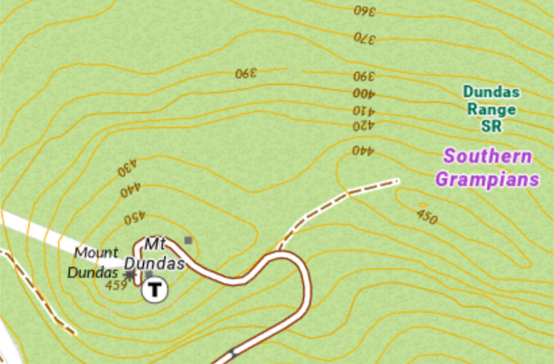
Mt Dundas VK3/VS-045 459m 1 point
Mt Napier VK3/VS-046 440m 1 point
Mt Elephant VK3/VS-047 380m 1 point
Mt Rouse VK3/VS-048 369m 1 point
Mt Leura VK3/VS-050 310m 1 point
Mt Clay VK3/VS-051 186m 1 point
Mt Noorat VK3/VS-054 310m 1 point
Mt Richmond VK3/VS-058 225m 1 point.
I’ve activated 4 of these 9 and the remaining ones are just a drive away, if you can stay in the area for a few days. Not a lot of activator points but nice places to visit, not too far apart, and an interesting lesson in the varied geography and geology of VK3 Victoria.
Did I say ‘dormant volcanoes’? Apparently some geologists think so.
If activating Mt Dundas take the track to the right in the summit saddle and activate on the secondary summit. It’s in the AZ. The RF fields near the TV transmitter compound are very high.
While the density of dormant volcanoes in that area is very high most of the tremors we experience are near Leongatha. Seems the seismic region has moved East.
Should an eruption occur when you are activating one of these peaks don’t forget to take some pics.
That might depend on the height of the saddle but you are probably right. In any case, I just saw a 460m contour on the secondary summit which means we probably need to move the ref anyway.
Andrew,
Interesting. The Vic Gov Toppo map and others shows a spot height for Mt Dundas Summit as 459 m. I did some relative measurements (barometric) on the joining saddle to confirm it was high enough but my measurements weren’t good in an absolute hasl sense.
Now if the spot height has been revised upwards by 6 m that surely has to mean the contours in the near region of the summit must be higher. The contours were constructed in the days of binocular imaging using aerial photographs. They were excellent but required spot heights for calibration.
The changed height I guess is from a relatively recent GPS survey and is a remeasurement of the old reference point. The summit was modified in Malcolm Fraser’s time by earthworks to provide for the TV station that sits there but they would have preserved the height marker and not created a new summit from rubble.
Or is the mountain not as dormant as we think? An increase in height is often a precursor toan eruption.