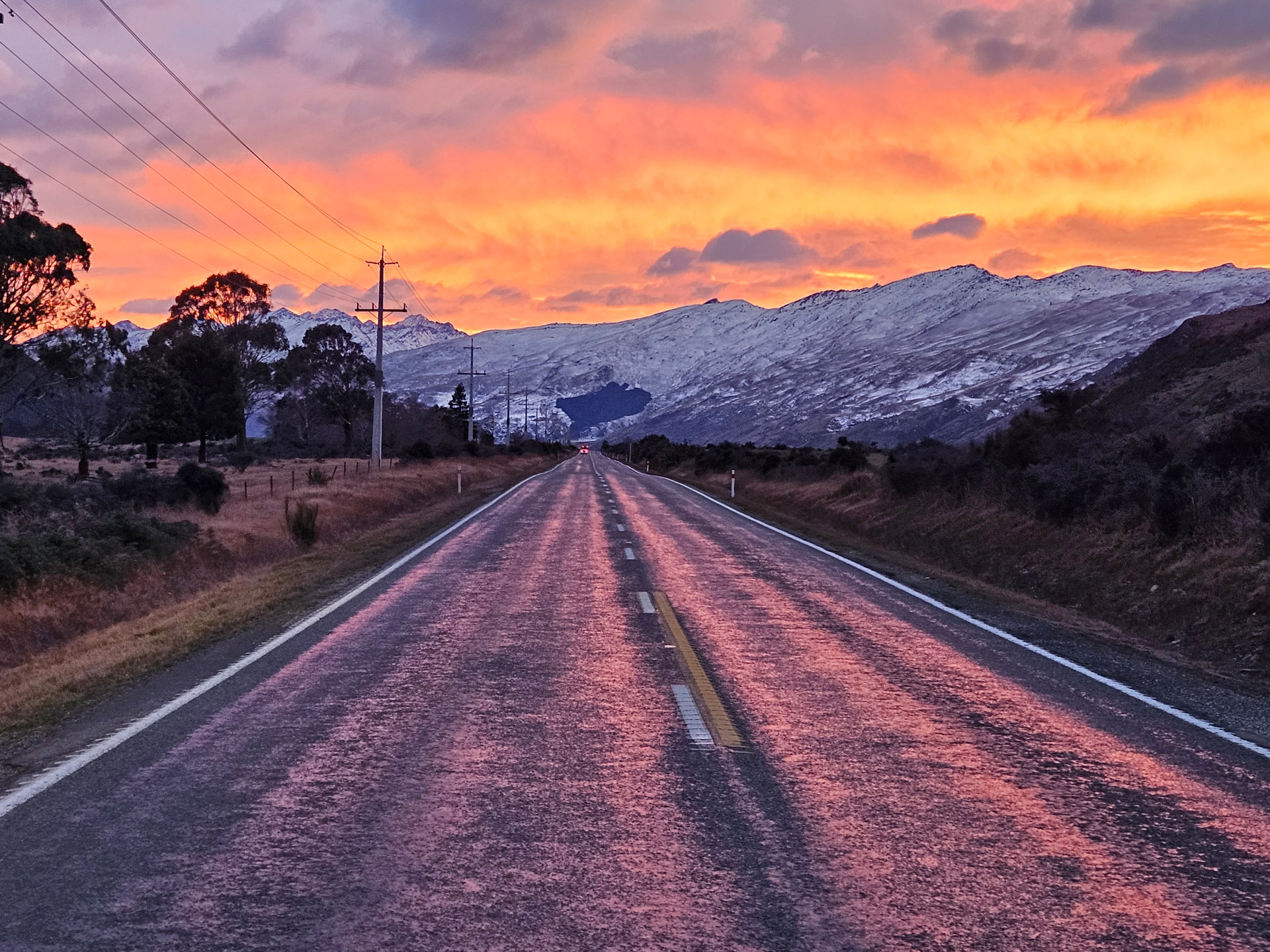
End of the contract year again. Another two solid winter months of track-cutting complete, the longest night still just visible in the rear-view mirror. As has become my custom, I spent much time on those long dark hut-evenings in the Haast Range, pouring over maps and planning my July break. Seeking out some pleasant but lucrative SOTA country in the winter-bonus-point elevation range.
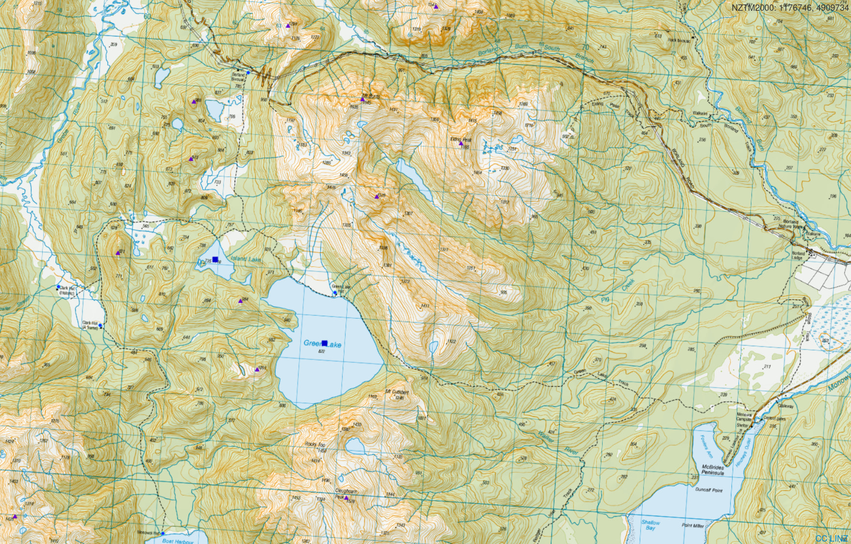
A short weather window necessitated something close to home, so a long-planned trip to pick off the 2 pointers amongst the Green Lake Landslide debris-field seemed just the ticket: mostly below the bushline, huts each night, and 40-odd SOTA points attainable within a 3-day walk.
Information on the Green Lake landslide is hard to find. But it is believed to have occurred 12-13k years ago, which puts it smack around the end of the most recent period of glaciation - and so presumably resulted from retreating glaciers exposing unsupported slopes on poorly consolidated valleysides - ripe for collapse.
Big deal, so what’s so great about a landslide? Well - the scale. Covering 45 square kilometers and estimated to contain 27 cubic kilometers of debris, it’s one of the largest known landslide sites on earth. And it contains 5 SOTA summits within the debris field, plus 3 summits on the exposed remnants of peaks it left behind.
https://blogs.agu.org/landslideblog/2017/06/08/green-lake-landslide/
Day 1
I’ve just spent 40 days track cutting: swinging scrubbars and chainsaws for just about every non-rain day for two months; living out of backcountry huts and tents; putting back on those same wet boots and clothes with each dark, damp morning alarm. And with the two weeks of our winter shutdown finally starting, I long for nothing more that a good few days in front of the fire, drying out body and gear, allowing aches to recover and fade.
However, the long-range forecast has other ideas. Fine weather for the next 5 days, followed by a seemingly endless series of fronts and storms. So I return home for long enough to wash and dry clothes, top up the supply of anti-fungal, anti-chafe and anti-microbial creams, and wave Sim goodbye again for the drive down to Manapouri.
The 4WD Borland Road cuts deep into Fiordland, following power lines to the Manapouri Hydro scheme, and providing easy access to much of this country. It is also closed from Queen’s King’s Birthday to Labour Weekend. So instead, we make the ‘5-6 hours’ walk in from Lake Monowai Campground.
The track in has seen a lot of use, and the initial section across low marshy ground at the lake outflow has transformed in the last 20 years: from a barely discernible route to a knee-deep bog trench, interrupted by tree-roots. Things improve as we climb out of the valley and onto the dry, mossy beech-forest floor, and later make our scrambling ascent towards the pass. We hit snow at around 700m, and by the time we reach the bushline, all but two sets of bootprints preceding us have given up - just enough to have broken the trail through the snow over the exposed flax and turpentine scrub of the col.
Green Lake Hut sits on the edge of a broad tussock fan, looking over the lake to the debris-field which dammed it all those years ago. Three and a half hours from the roadend. Sun streams in through the large north-facing windows, warming the interior and dimming any intentions of exploring further today. I stretch out on my sleeping bag, brew a cup of tea, and luxuriate.
Later, the radio goes on for a mix of calling CQ Lakes on 40m and chasing VKs on 20m. Thirteen in the log over two hours of intermittent attention: lake and hut qualified, and time for bed.
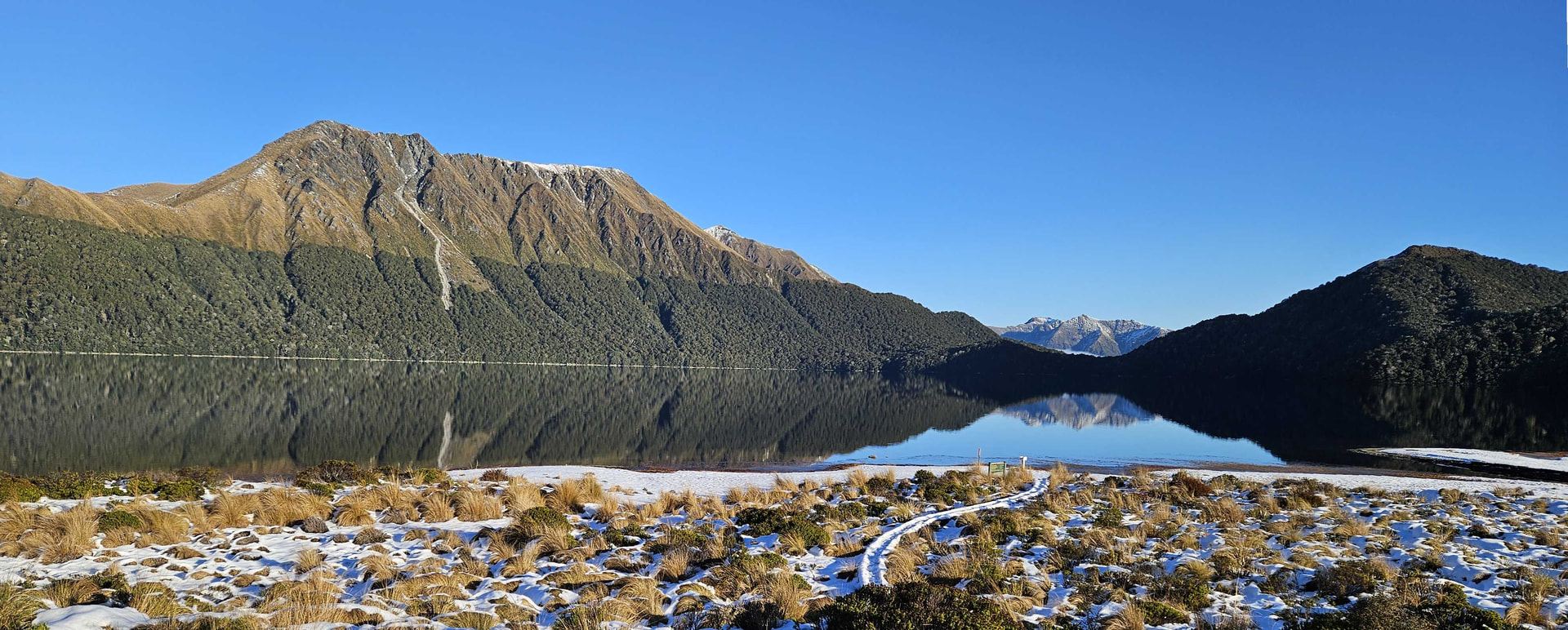
Green Lake [ZLL/0126 / LLNZ-0126] - From Green Lake Hut
Day 2
I had planned to push on to the much less used Historic Clarke Hut for my second night, picking up half the summits on the way there, and the other half on the way back. But after a lovely quiet night in a warm, airy hut - the temptation is to leave overnight gear here and loop back tonight.
So it is, that with a light day-trip pack, I head along the lakeshore - torch illuminating the ice-crusted rocks as dawn seeps reluctantly into the sky. A well marked track leads west then north, over a series of ridges and through a sequence of flat lake-bed hollows in the vast debris field. I leave the track 2km before Borland Biv and scramble west onto the main debris dam, headed for the northenmost summit of ZL3/FL-747. Despite it being over 12,000 years since the landslip happened, the going is surprisingly rough - a tree-coated field of boulder debris, and very slow going.
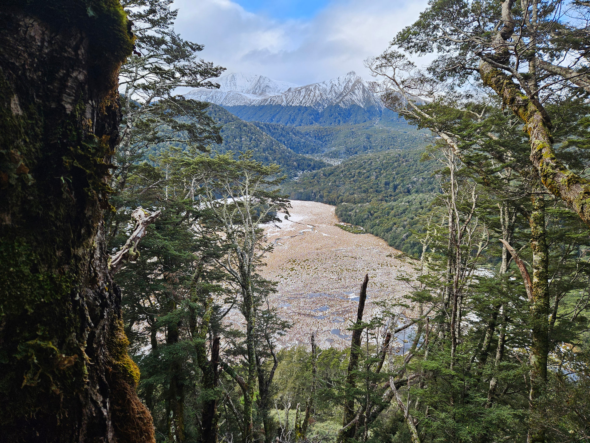
Four of the five 2-point summits lie below the bushline, and so are not exactly designed with photography in mind. But they do make for enjoyable, sheltered spot to activate on a cold winters morning - the open beech forest giving good enough lines to string a 20m long EFHW, and the branches enough support to hold up the 6m SOTApole without guying. There are some advantages to the below-treeline SOTA!
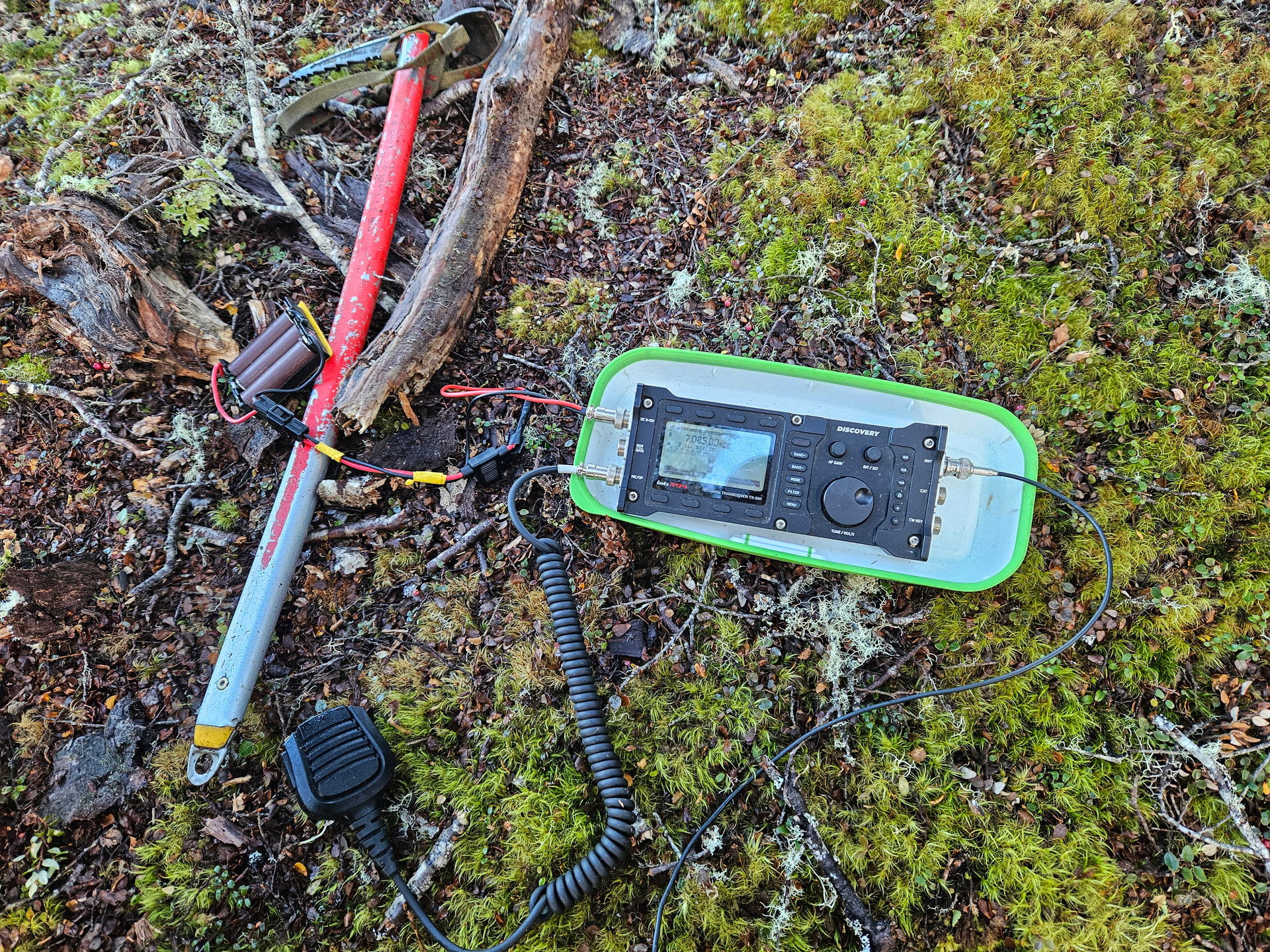
The first summit, ZL3/FL-747, nets 15 contacts in the log on 40m, including a rare daytime 40m contact with VK - VK3PF at 55/44 respectively.
The 1km scramble over the debris-field to the second summit - ZL3/FL-755 - takes a little over an hour. I suspect that many chasers didn’t realise I was on a new site, as going was much slower - with just four in the log.
The final summit of the day - ZL3/FL-786 - is a further 3km away, again much of it spent scrambling over moss-covered boulderfields, and it’s gone 3pm by the time I finish there. I drop to the track hoping for a faster return to the hut, but the tussock and turpentine-scrub are waist deep and coated with a thick layer of wet snow, so going remains slow and we hit the hut just on sun-down.
A university student turns up just on dark. Clad in trail runners, he’s clearly more impervious to the cold than me - he plans a trip onto the snow-covered Mt Burris tops the next day. He retires early to bed where he proceeds to snuffle and cough his way through the evening, so maybe less impervious to cold than he thought! I cope with it for some 20 minutes, then grab my tent and pitch it outside on the deck - a quiet night of sleep.
Day 3
The previous day formed a sort of circumnavigation of the summits surrounding the Island Lake basin. And so today we complete the figure of 8 by looping round the remainder of Green Lake. Two more low debris-field summits in thankfully open, mossy beech forest, the second just breaking the bushline to give views down to the head of Lake Monowai, and back to Green Lake and our hut.
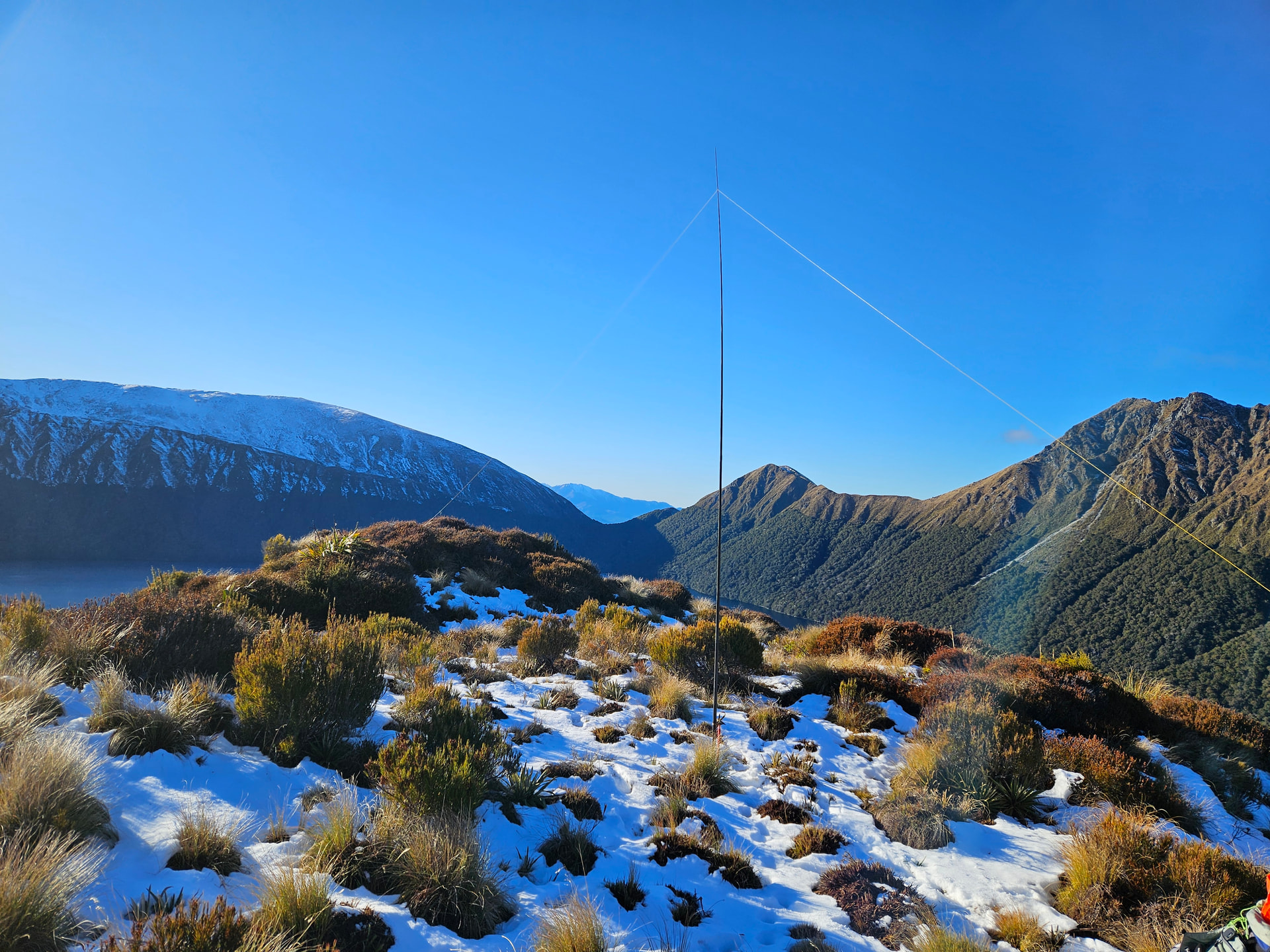
Then it’s time for the long steep climb onto the exposed tops to activate Cleughearn Peak. The west-facing ascent is thankfully clear of the worst of the snow, but the flats and hollows of the tops are a different story. A bitter westerly scours the ridgeline and we make a crouched, huddled activation in the lea of a large tussock on the peak. I’m glad of the winter bonus - this feels like more than a 6-pointer!
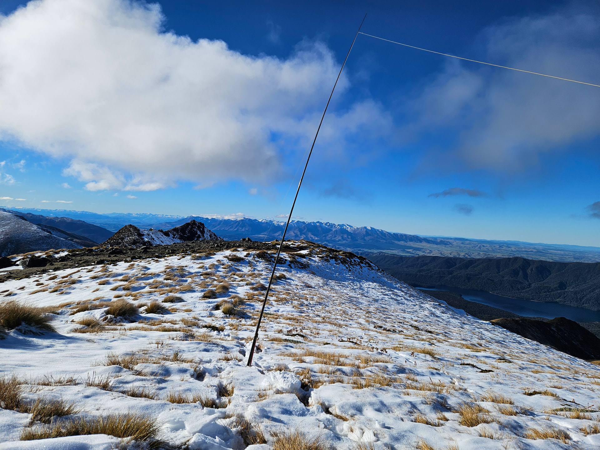
It is 2:30pm by the time I tear down the antenna: 3 hours of daylight remaining. 3km of exposed ridgeline back to the track and a ‘5 hour’ walk back from there to the carpark. It’s very tempting to loop back to the hut and head out in the morning, but another night of sniffles and snuffles dissuades me, and I power east instead - hoping for continued luck with pessimistic signpost-writers. I am rewarded with a 5:30pm arrival back at the motorhome. ‘Absolutely buggered’ is about all that describes the state, but we’re here and didn’t even need the torch. I can’t even face moving the van into an official campsite, so simply turn the heating on, take luxurious hot shower. Soup, tea and bed.
The outstanding memory of the trip is standing atop the cleaved escarpment left by the landslide on Rocky Peak, staring down at 27 cubic kilometers of debris below.

Days 4 and 5
The plan for days 4 and 5 were to drive one valley South and use the packraft to access a couple more 2-pointers above Lake Hauroko. But the forecast for Friday has turned to yellow English sauce, and so I head towards home instead, picking off a couple of day-visit peaks off the Te Anau - Mossburn highway.
Woodhen Peak ZL3/FL-757 is reached from Princhester Base Hut at the end of Princhester Road. Ignore the track, and head instead west over the low pass into the West Branch, before climbing the obvious spur to the 2-point summit. Good going in open bush for those happy navigating off-track.
ZL3/FL-799 lies just outside of the boundary of Burwood Bush, but the activation zone extends well into the park. Access is along the (locked) 4WD track past trig B0HK, parking on the roadside as there is nowhere to turn round at the gate. A 6km walk takes you along the 4WD access track to the exclosure pens, and then alongside the predator exclusion fence to the bushedge 1km SE of the summit. The beech forest is good and open and it is easy, off-track travel to the boundary fence and the AZ.
After another pleasant night in the motorhome amongst the pines at Lumsden NZMCA, we head for home, as a glorious winter sun rises over the Remarkable Range.