Guru made me do it!
The weather has been shocking (literally) in Eastern Scotland for a couple of weeks now but it looked like there would be a window between a period of heavy showers and strong winds. That window was this morning, Thursday 12th August, between dawn and 12 noon BST. Of course, today being “The Glorious 12th”, we were slightly limited in our choice of short hikes, with many local ones situated on shooting estates. Carn na Drochaide is entirely situated on National Trust for Scotland land, where no shooting takes place.
Mo and I were up at 0440z and away from the QTH an hour later, arriving at Linn of Quoich car park an hour after that.
We set off along the 2km stroll east along a basically level vehicle track by first crossing the brand new bridge over the Quoich Water. The old bridge was swept away in 2015 thanks to Storm Frank.
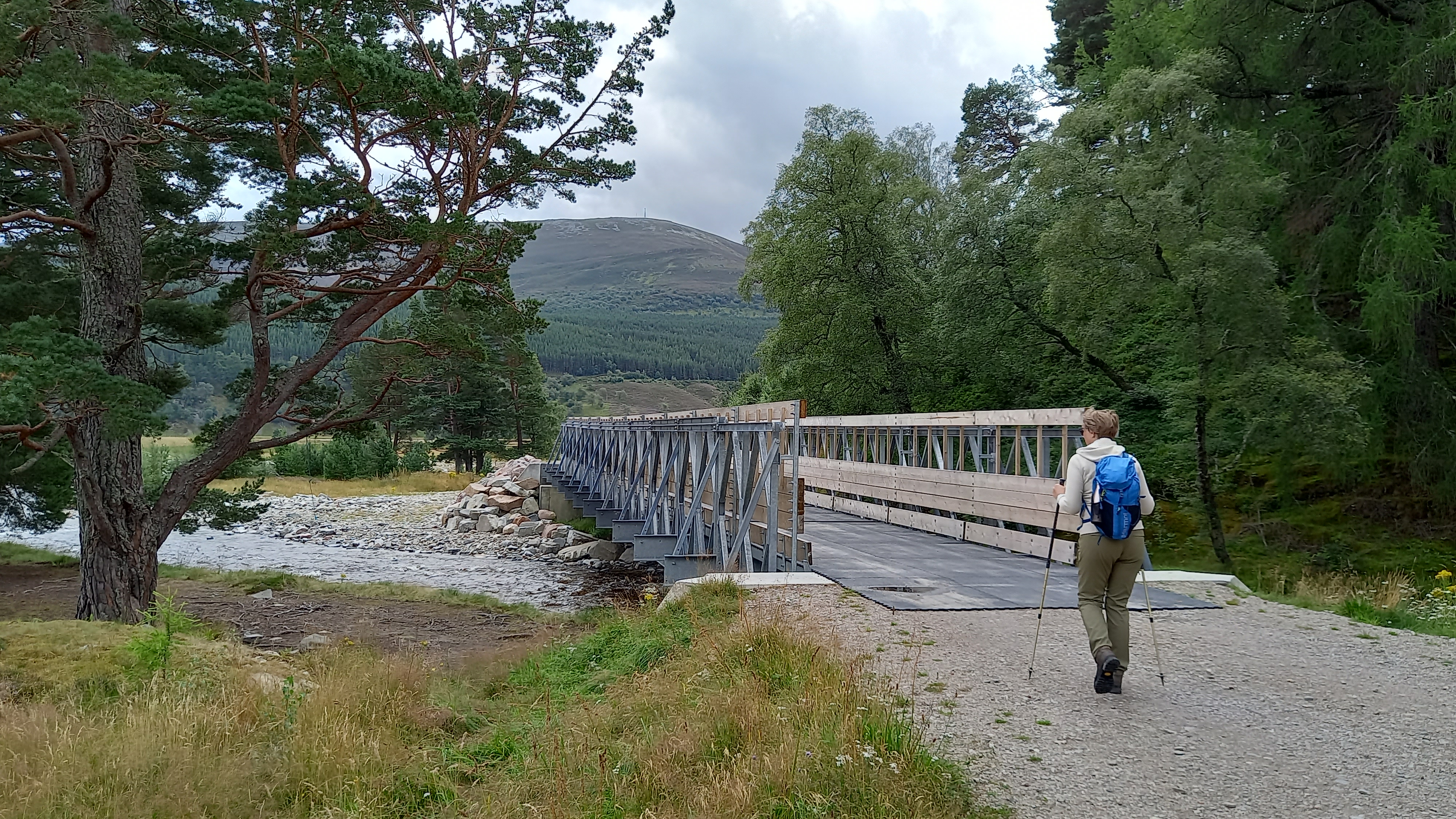
Crossing the Quoich
We were following the route according to the walkhighlands website, which told us to look for a faint path heading up diagonally from the main track. This switches back fairly quickly, slightly ascending before a row of pines, before turning sharply up hill and ascending towards the west side of Creag a’ Chleirich, but not ascending it.
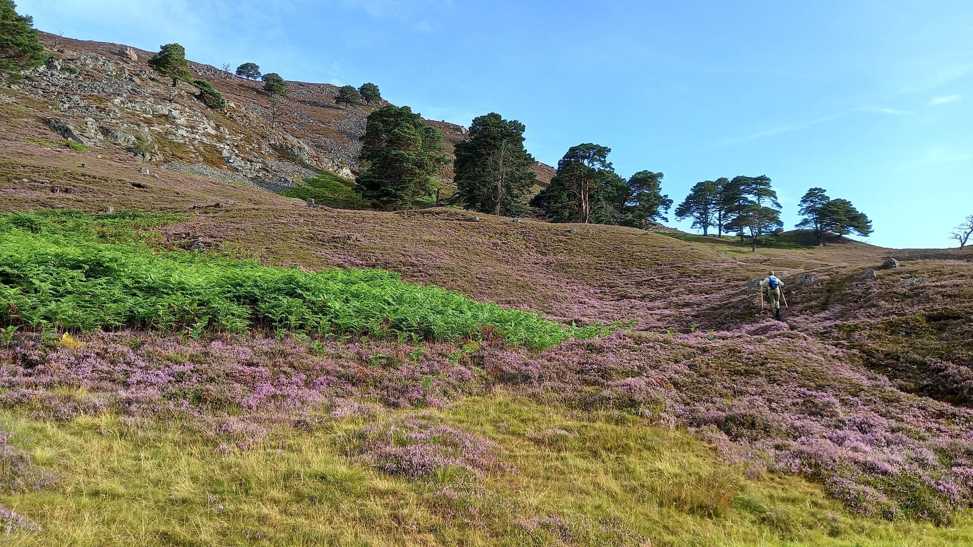
Beginning the ascent
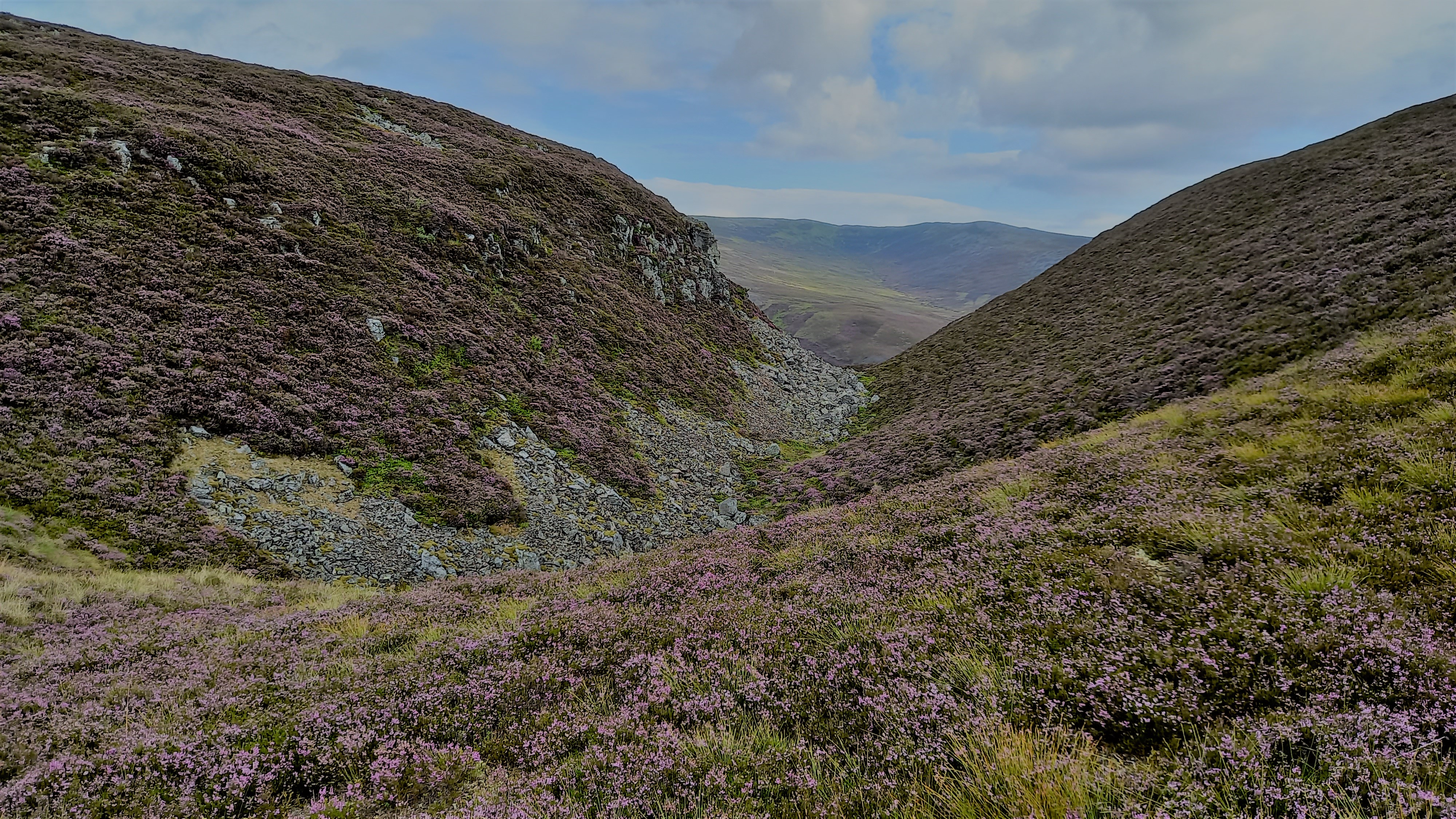
Views opening up
It’s a straightforward ascent from there. Even though the path peters out on occassion, the main hill is always in sight.
We soon gained the foot of the final slopes to the summit ridge. There’s a nasty gully here that could present a problem during a descent in bad weather! It’s is named on the 1:25,000 maps but not 1:50,000.
Clais nan Cat gully

The summit ridge, with the summit around 500m behind
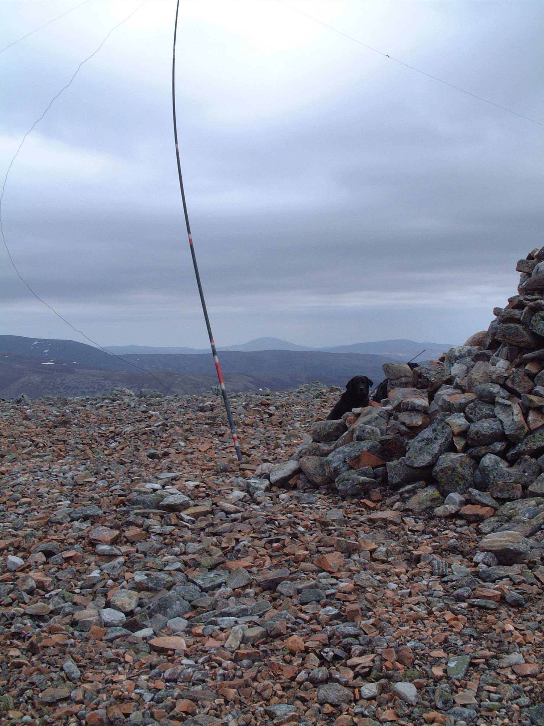
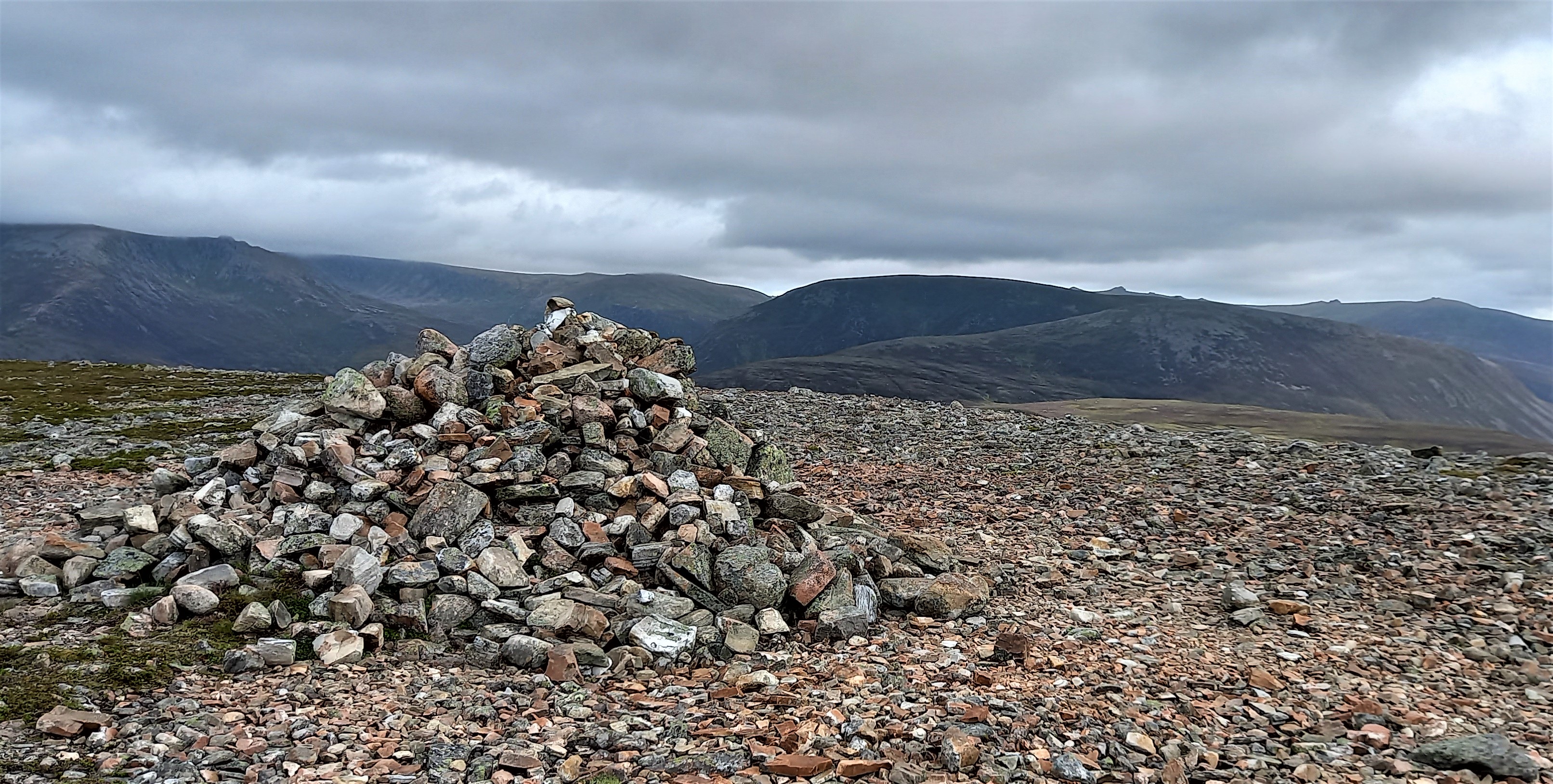
The promised sunny spells didn’t really appear and the wind seemed to be picking up earlier than planned. We plodded along and up the broad stony summit ridge, strewn with various cairns and eventually found the one that marked the summit. Ascent time 2 hours, 10 minutes.
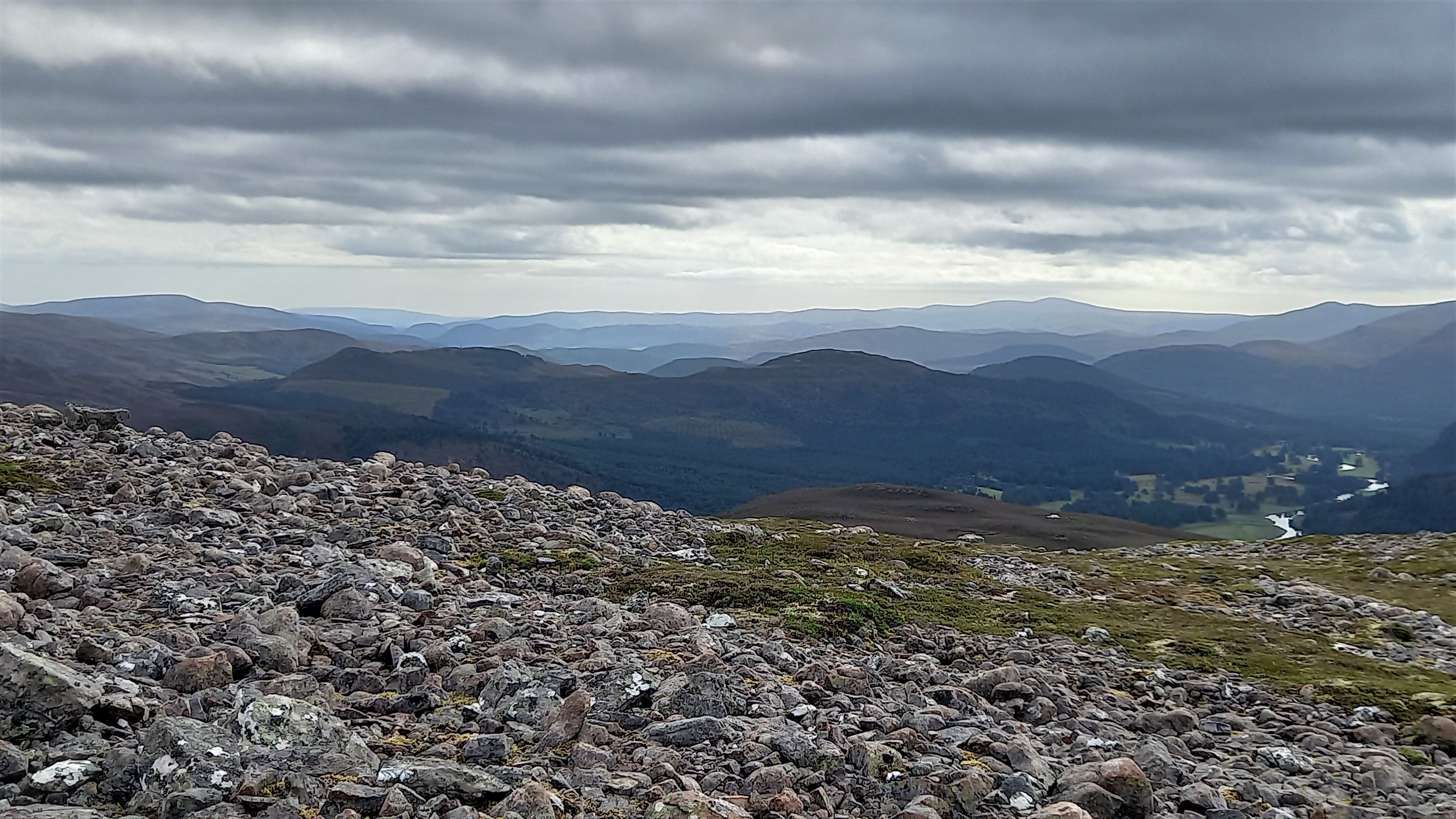
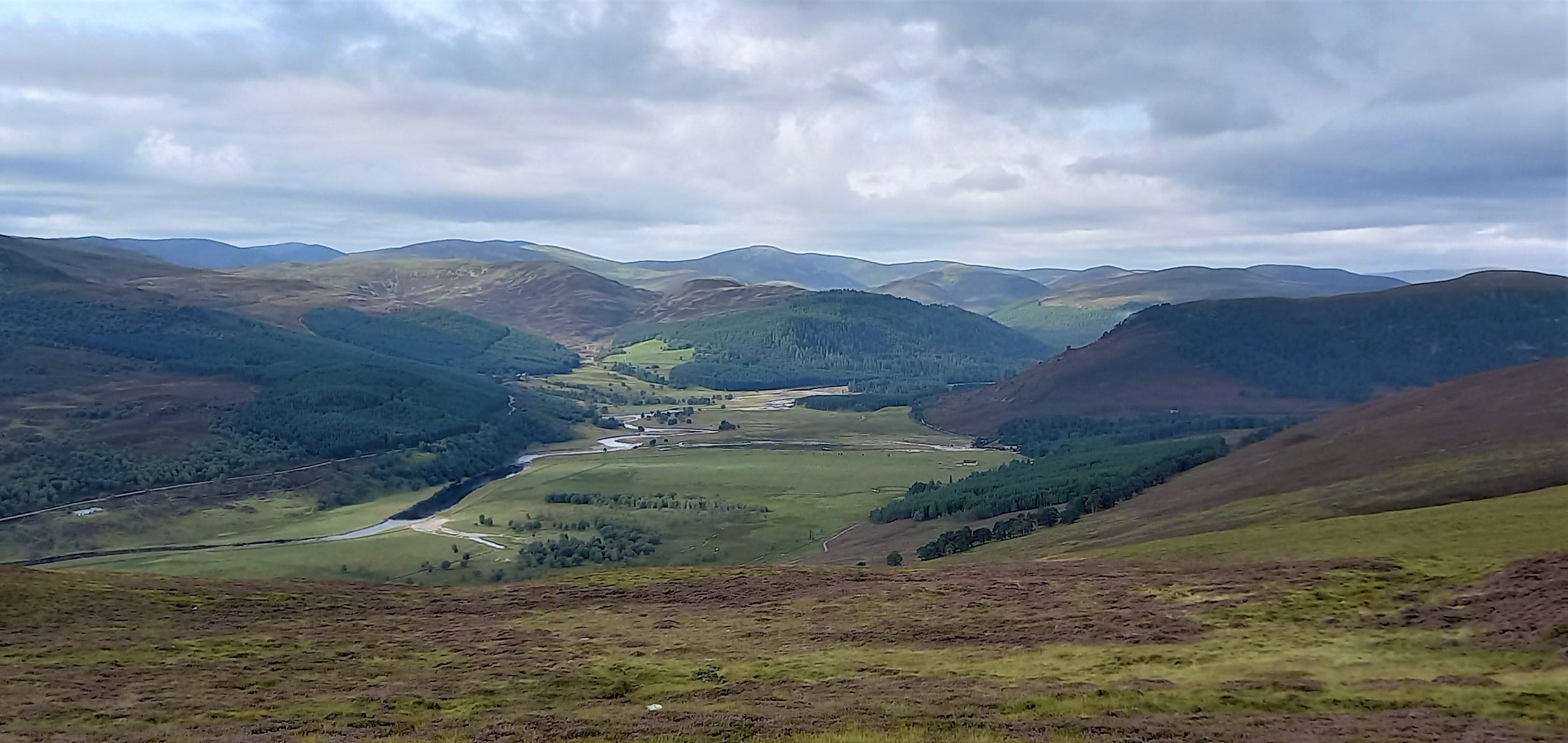
Looking east from the stony summit ridge
North to Ben a’ Bhuird and Ben Avon GM/ES-004 & GM/ES-006
Thankfully the summit cairn was large enough for us to shelter in lee of the now stiffening and surprisingly chilly southerly wind. Mo helped me get the mast up and I was able to get a 4G spot away easily using sotl.as. I was using my Elecraft KX2, running 10 watts into my inverted V.
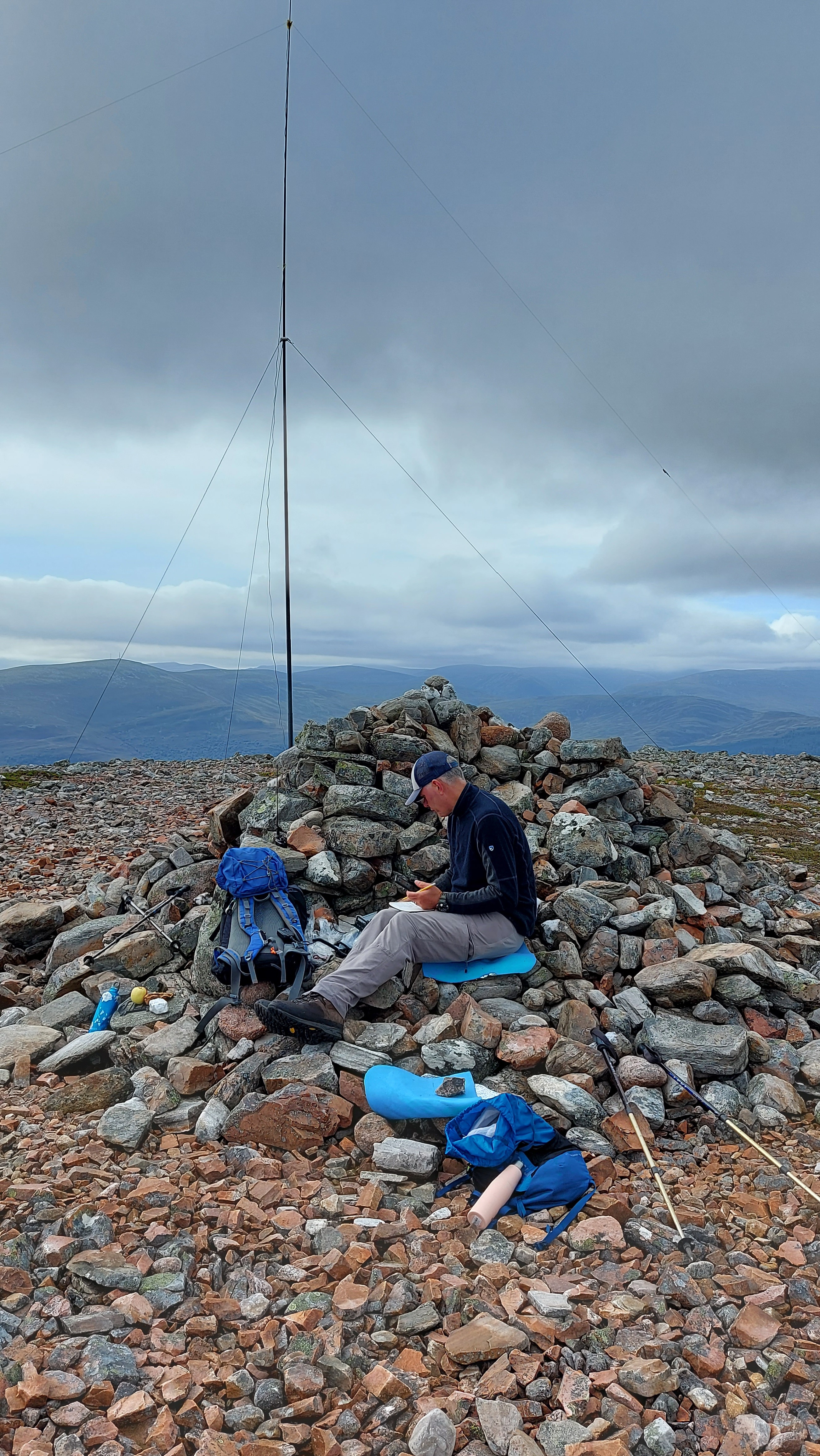
Activating
Band conditions were forecast to be mediocre but I hoped that our 0900z on-air time would be early enough in the day to activate the summit on 40m SSB. Things did get off to a good start, with 5/7 reports from PA5KM, F4WBN & MW0GWG/p.
I then worked a series of English stations, with 2E0AGB, M6BLV and G0RQL all giving me reports between 5/7 and 5/9.
Enter EA2DT and EA2CKX with 5/5 and 5/2 respectively, followed by another flush of English lads - G4WSB, G4IAR, 2E0FEH and G4IVV. By now QSB was an issue and the signal reports subsequently dropped.
There was a lull and no answer to my CQ calls. Then to my surprise and delight - EA2IF appeared, a decent signal to me. We exchanged callsigns and reports but by now the fading was an issue, so further conversation was problematic… I did hear Guru say, “looking forward to the report and video.”
With fourteen stations in the log, conditions worsening both on the bands and with the weather, I called it a day. Operating time was around 13 minutes. Time on the summit was around 40 minutes.
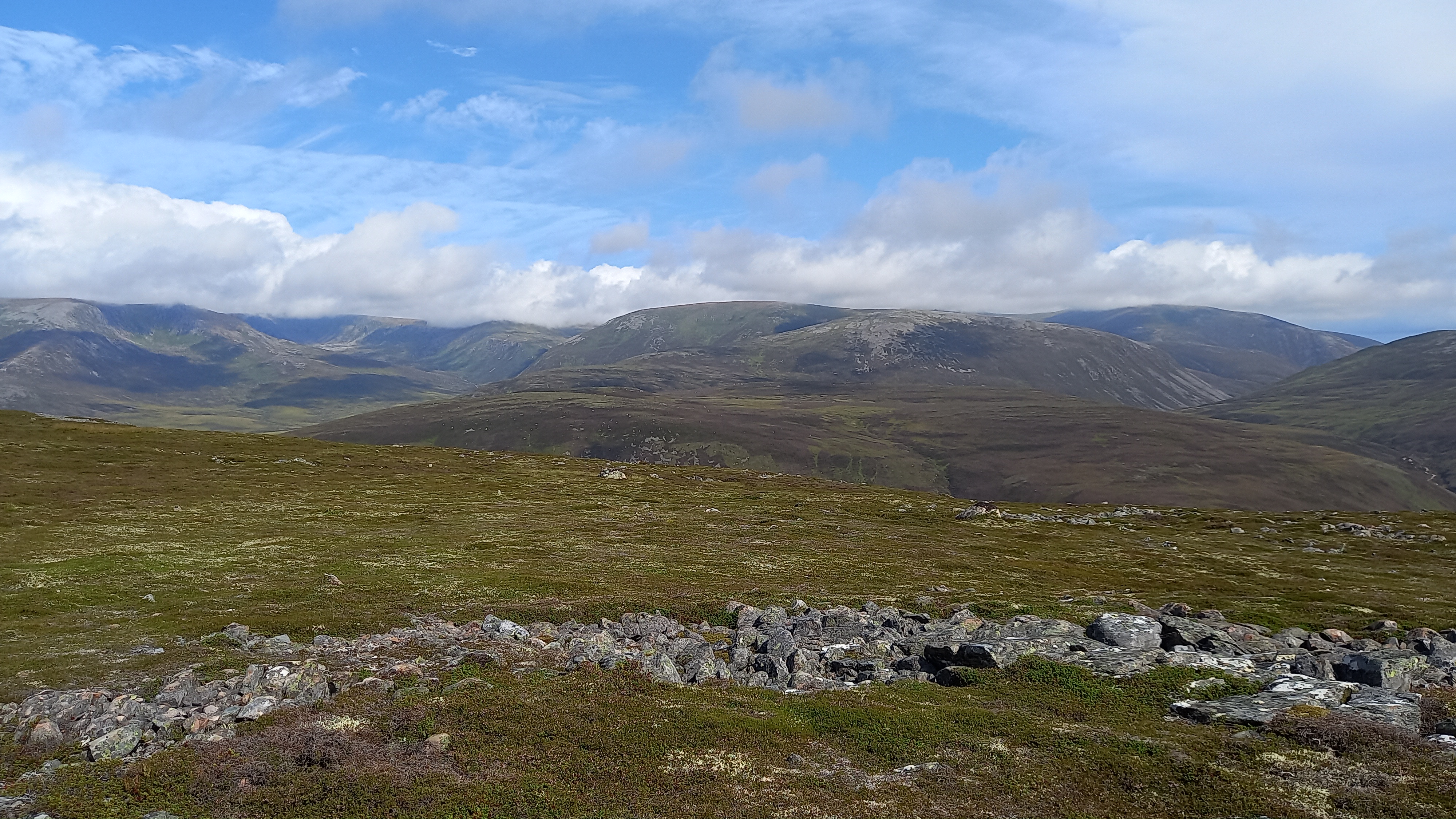
Cairngorm lumps
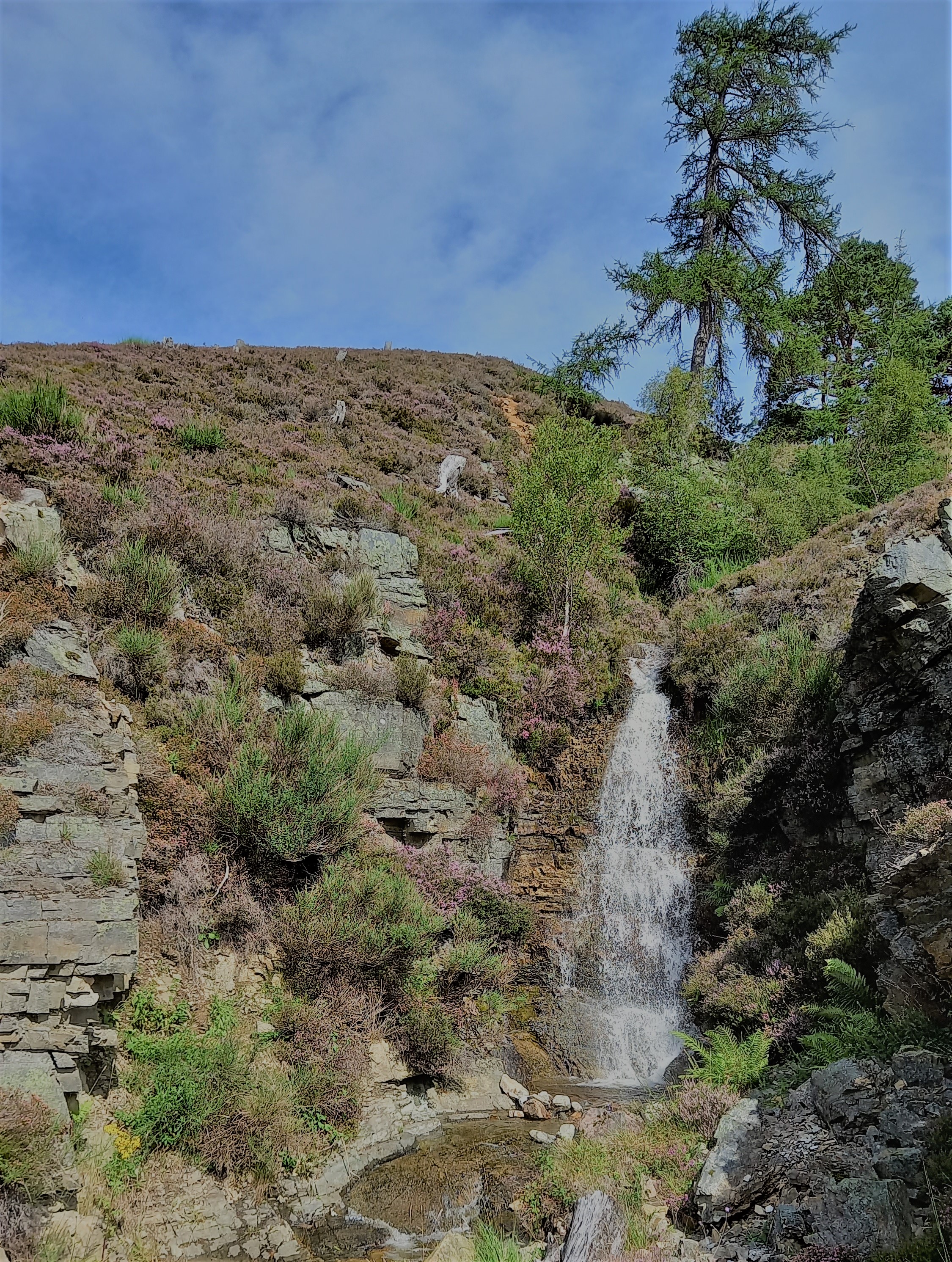
We retraced our ascent route until a strand of pines at NO13650 92106. Here we were expected to turn 90 degrees left, the way we had come up, but it looked more sensible to head straight down to the main track over about 200m of trackless heathery slopes. We actually picked up a narrow track and it deposited us beside the waterfall of the East Allt Coultain, giving us the bonus of seeing the small falls, as well as saving around 1km of walking. I would recommend ascending this way, saving 2km over all. Leave the main track at NO13505 91897 and gain the ridge to the right of the falls.
The Cairngorms are associated with granite, but limestone abounds lower down
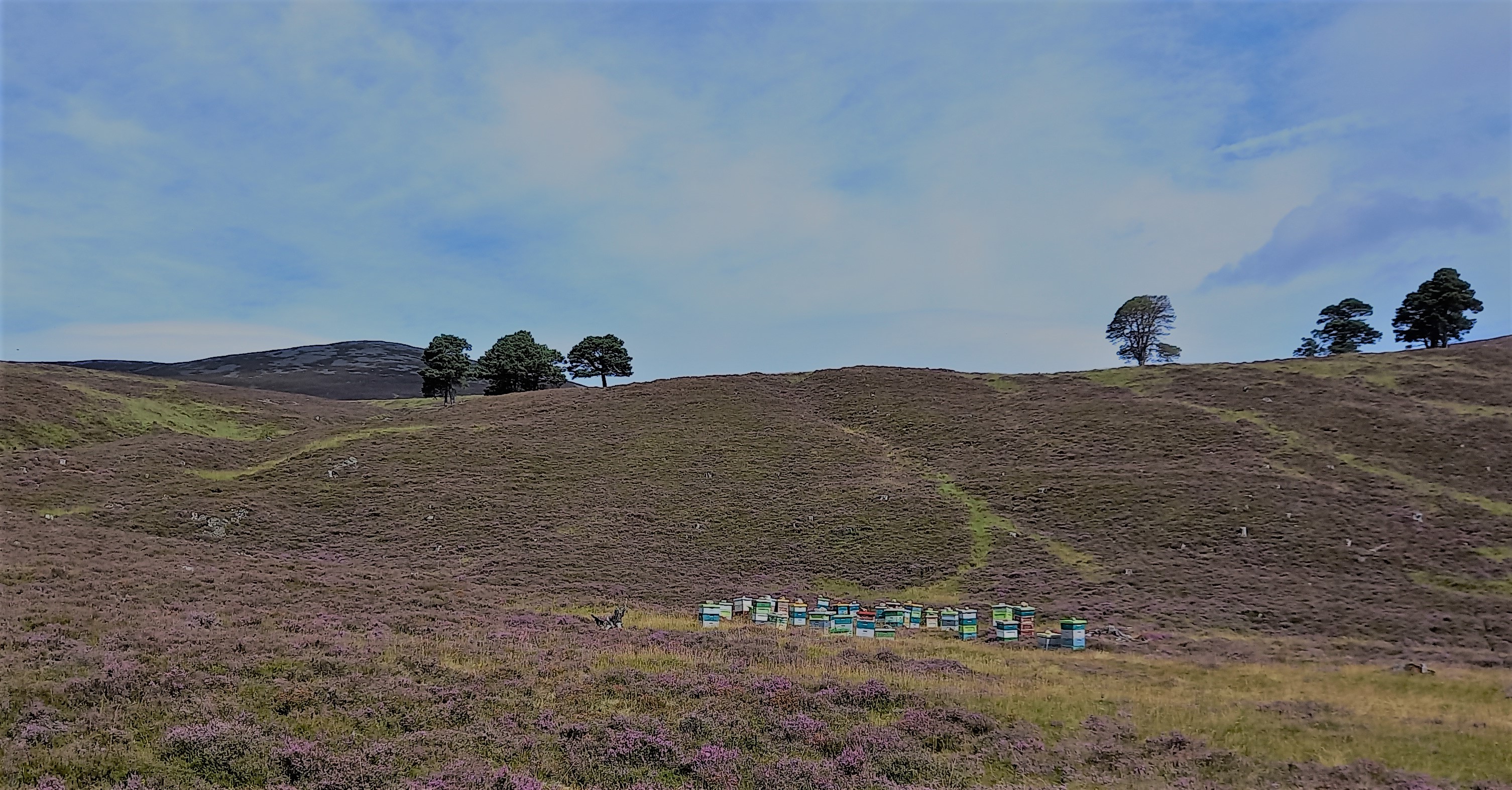
Beehives with Carn na Drochaide behind
Descent time was around 1 hour 40 minutes and we were soon heading back home. I can recommend “The Bakehouse” at Crathie for a stop off. The “1 foot long” hot dog was amazing and their freshly baked artisan breads are wonderfully yummy!
Summary
A pretty straightforward hike and also an interesting one, with plenty to see on the way. We managed the whole trip in around 4.5 hours, so great for a half-day, or allowing plenty of operating time on the summit.
I’ve never failed to activate a summit since getting the KX2 and am always delighted to bring in Spanish stations on 40m despite the 10-12w SSB output.
So there’s the report Guru, thanks for making me do it. Sorry, there’s no video!
73, Fraser