Monday 17th October 2022
I’ve not really been counting, nor have I been over-planning. I’ve just been enjoying getting out. Getting to 1000 points was likely to happen this autumn, however I’ve been busy with family and also building my Land Rover 110 into a Motorsport UK licensed “heavy” Recovery Unit. This has taken priority as I needed to get it ready for the Mull Rally.
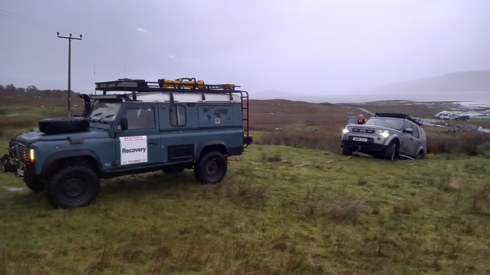
sometimes we have to recover marshals, in this case the event radio engineer
Well, the Mull Rally has been and gone. It was excellent despite the wet weather. I’ve now caught up with my sleep and am ready to hit the hills, as we have the cottage for a week, but which hills?
I am sitting on 992 activator points. Tuesday looks like the best (only) day for great weather, so that really needs to be my Goat attempt. I want a meaningful summit for that, so Ben More it shall be (for the third time). That’s six points. I need two before then. It’s been raining. All day.
1pm and the Met Office revise the forecast. The rain is to stop at 2pm. My bag is packed. We’ve already had a walk around the lovely (when it’s raining) Aros park this morning and Mo is off to do some yoga. I jump in the car and head over to Glen Aros.
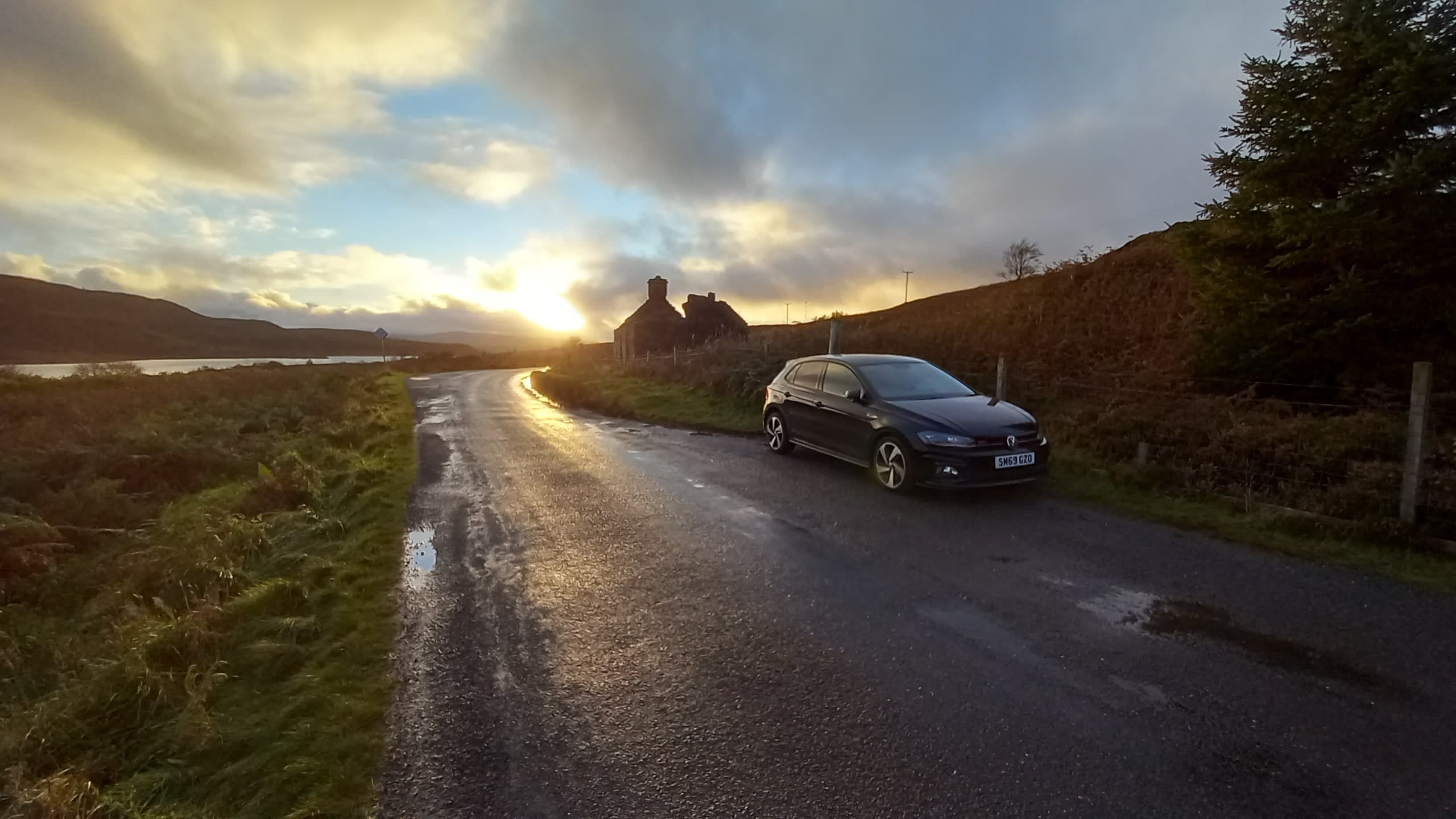
Heading even short distances on Mulls single track roads can take a while, but I know them well and I’m in the VW Polo gti. It was built for these roads and soon enough it has me at the parking spot below Tom na Fitheach GM/SI-167. It was 2.15pm and the rain had just stopped. Perfect. I parked in a reasonably new forestry turning circle near a metal bridge, right opposite the track I planned to take. I couldn’t find much information about this hill on the internet, so planned on taking this track on a rising SE traverse and then trying to head back NW up the ridge. I wasn’t hopeful of finding a trail.
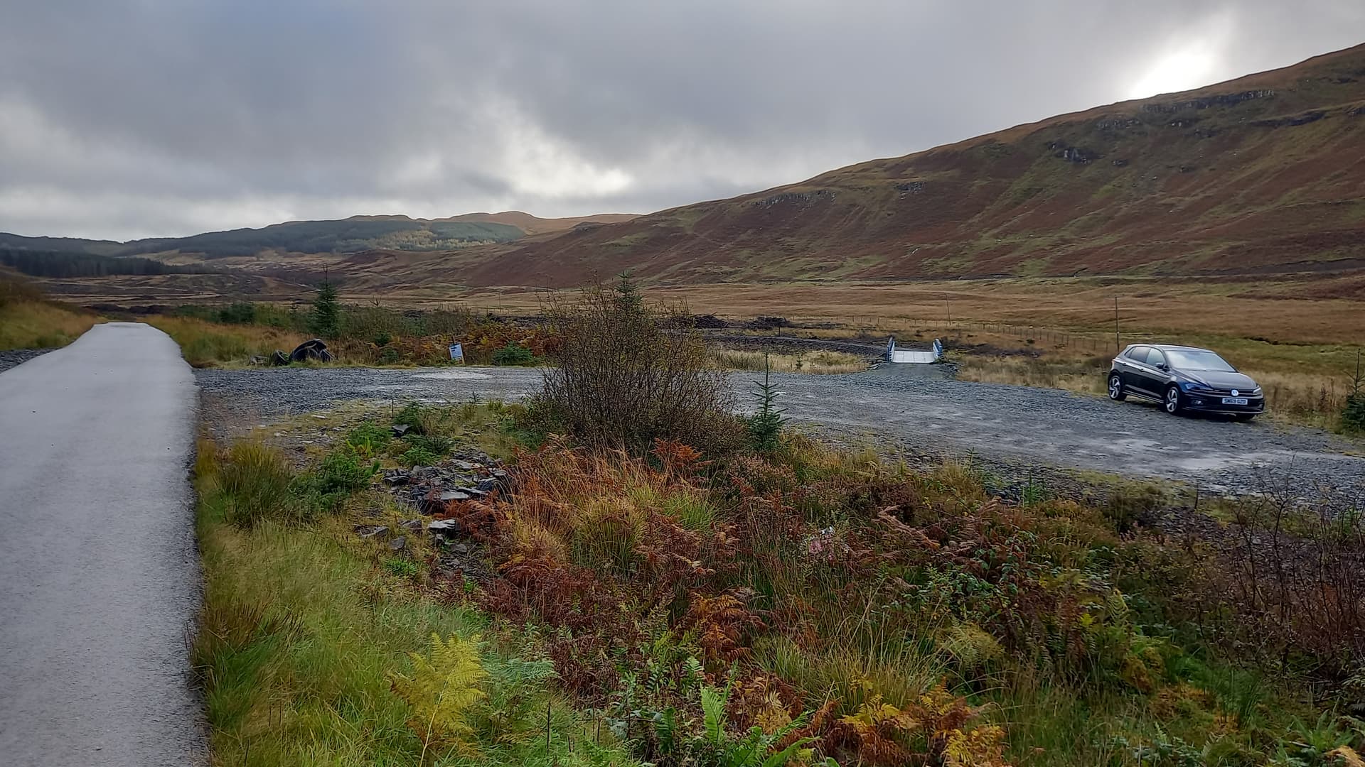
parking spot, just off the Glen Aros road
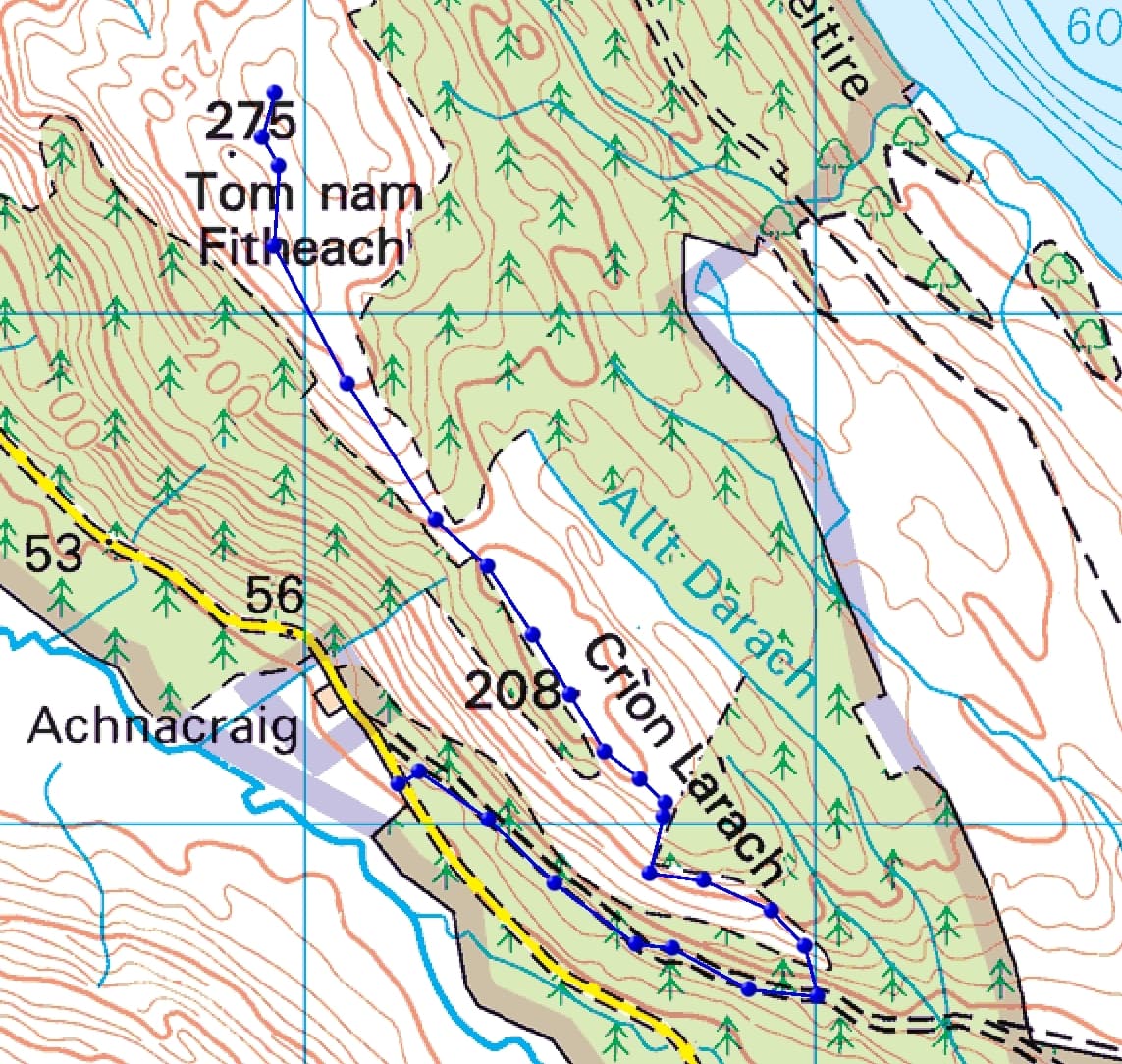
the ascent route
Unfortunately the gap in the trees below the word “Larach” on the above map doesn’t exist, however the tree cover isn’t too dense and I was able to take a rising traverse to a grassy fire break which led directly up to open ground.

in the trees
Easier but tussocky and boggy ground led over a minor top and the target came in to view. I could see a gap in the trees and two tops ahead.
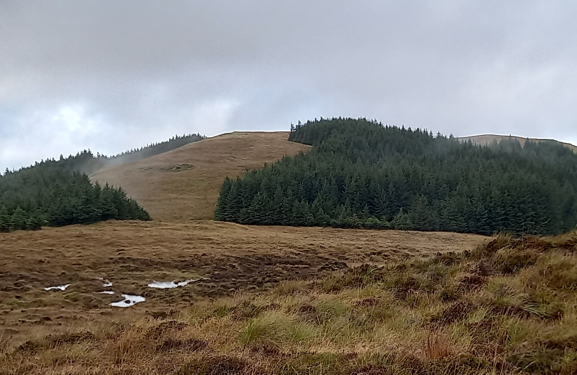
the summit to the far right of the picture
It didn’t take me too long to reach the upper slopes and I was soon established on the unmarked and exposed top. No rocks, so it looked like I was going to have to guy the mast for a change. Except I didn’t, because the PVC sleeve I carry went almost its full length into the soft ground.
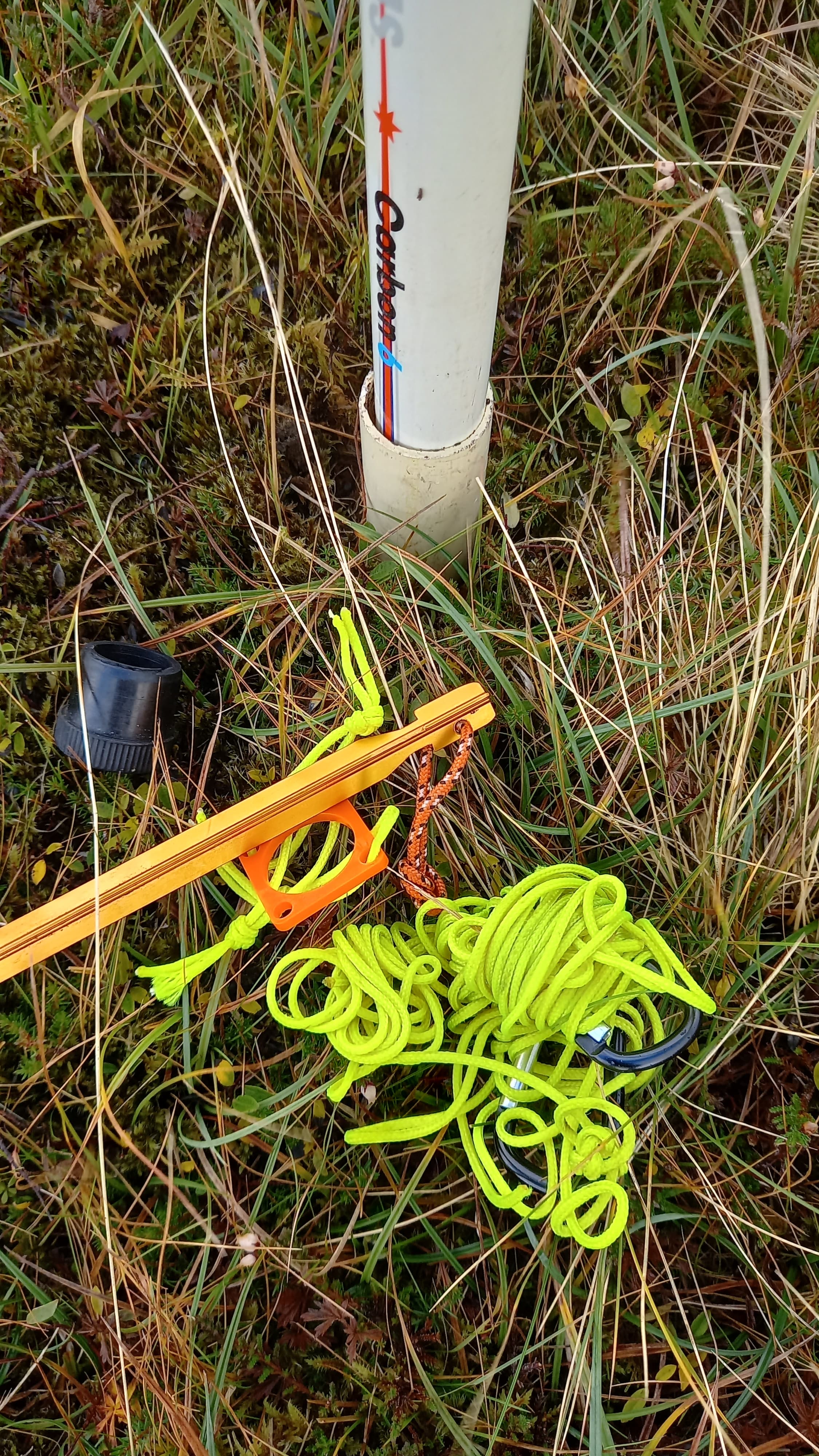
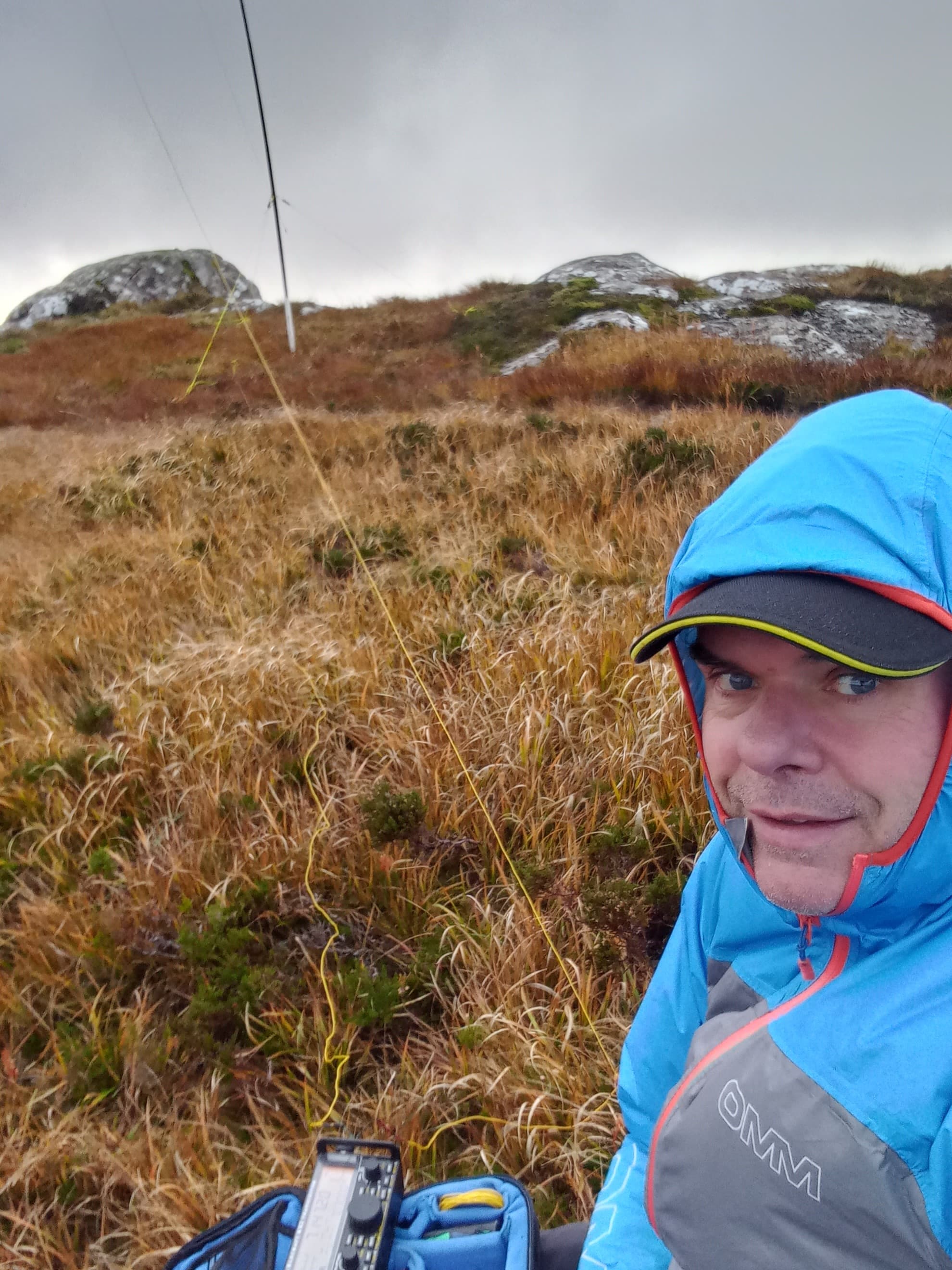
quick mast set up
There’s a much improved mobile phone signal on the Isle of Mull these days. Back in the day it was vodafone or bust and that was only down the east side. On the west there was nothing at all. Spot sent and I was on 40 m ssb with the kx2 and a 41’wire.
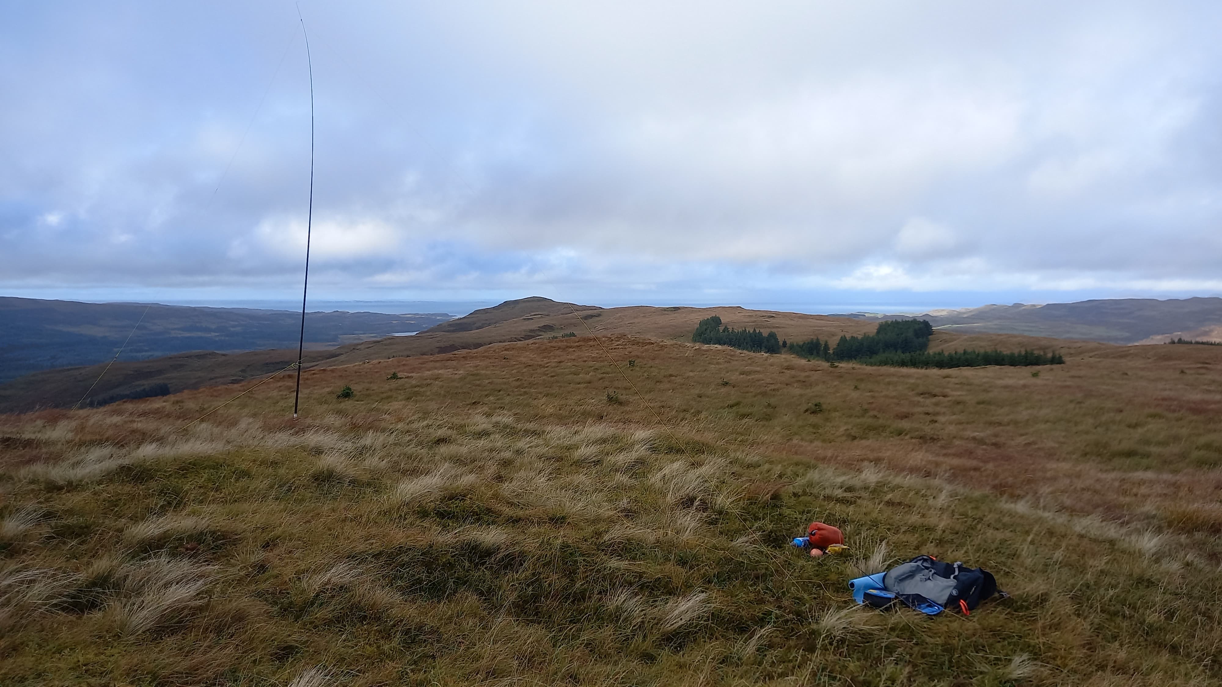
the station
40 m was noisy with what sounded like atmospherics, but I managed to get nine stations logged in six minutes. When it died, I re-rigged for 2 m FM, but didn’t get any answers to my calls.
It was 1530 and I realised now that I should have time to do a second summit on the way back to our cottage, so I quickly packed up and headed down. I had spotted another firebreak on the way up, one that looked like it led directly to the cottage at Achnacraig. As I approached the top of it, heavy rain started. That made the decision for me.
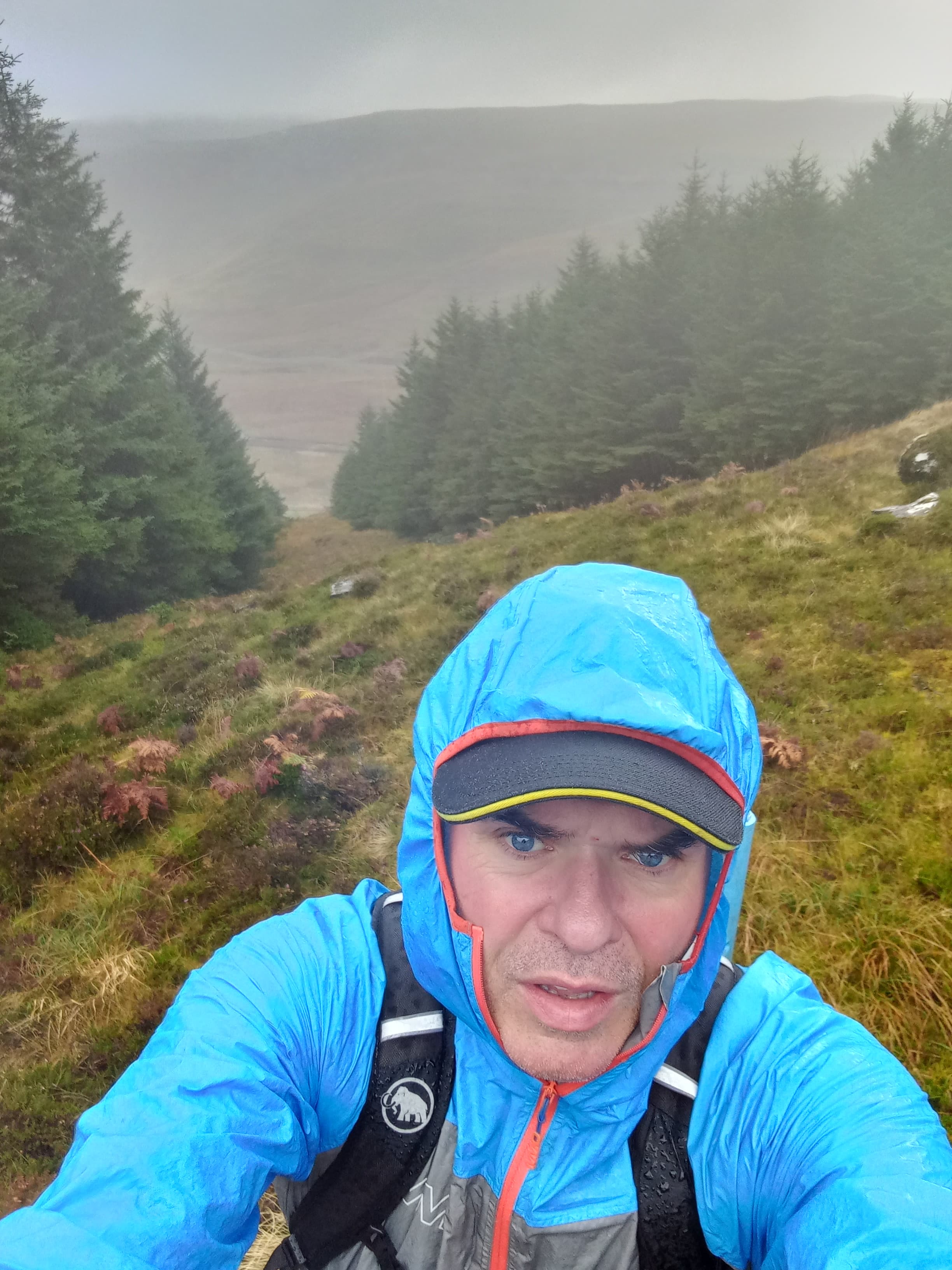
at the top of the firebreak
The firebreak was grassy and it wasn’t long before I could see the road and cottage below. However, it soon steepened and got incredibly rough. Half way down I reached a small cliff which I circumvented to the left. The tussocks were enormous and much of the ground between was flowing with water. Then came the dwarf trees. Then the brambles. Finally the waist high ferns. Even as I approached the road, I was still fighting to make every step.
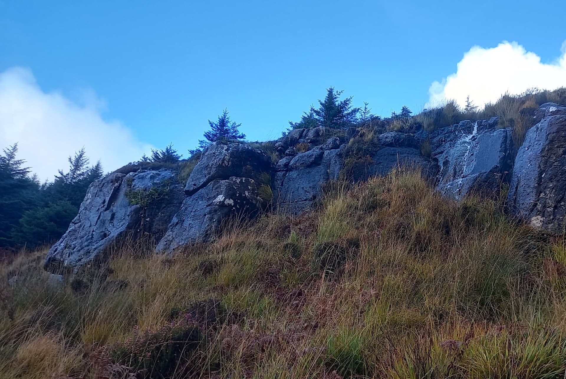
below the small cliff
When finally I was on the tar, it was a simple 300 m walk down to the car. The jacket came off and the heater went on full blast! My descent could be used as a short way up the the summit, if your legs are up for it.
It was a quick (15 mins) drive to my next stop. There is a car parking spot beside a ruined house on the Dervaig to Tobermory road. Easy to find as it is the only building for miles.
parking spot by the ruin
A simple ascent. I went through the gate by the ruin and followed the soggy path through the grasses and through another gate. Onto the hill and a boggier path, flowing with water. This lead to the rocky and grassy summit, which is on the edge of a small volcanic crater containing a loch. A twenty minute walk.
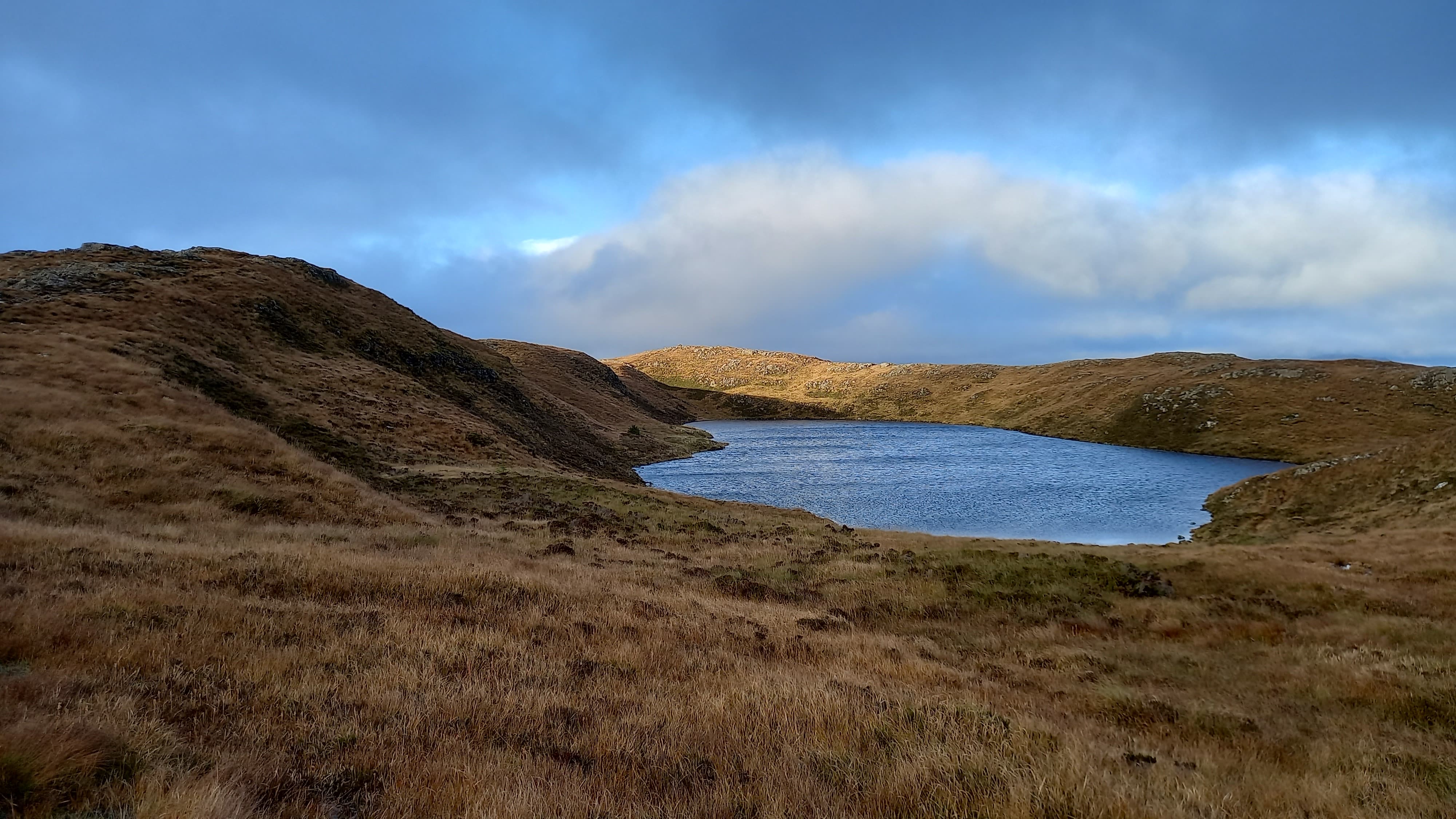
'S Àirde Beinn GM/SI-153
The summit rocks were smooth and without cracks or shattering, so I used three short guys, running the 41’ wire NE to SW, not for any directional purpose, but so I could drop off the summit a little to keep out of the wind.
on the 40 m band
Operation was the same as before, with 40 m ssb and then 2 m FM. I managed sixteen stations on 40 m this time and again failed to make any contacts on 2 m, although I did hear a female Irish voice all so briefly…
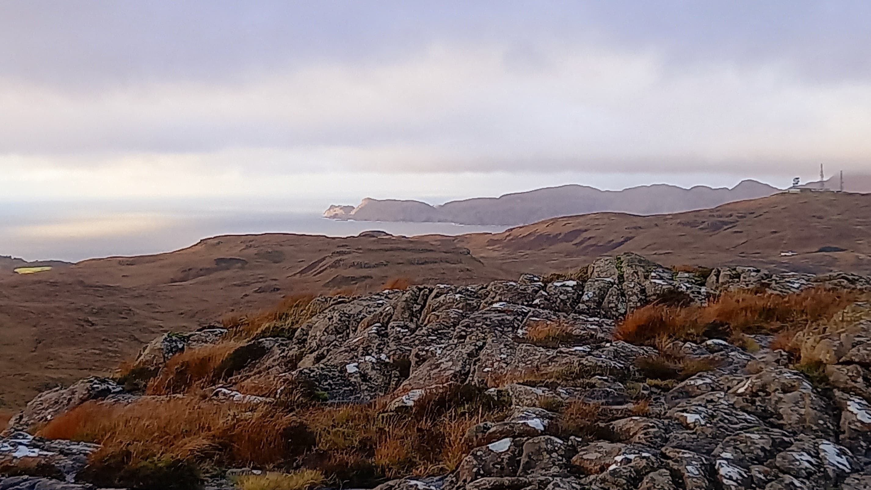
view out to the north and the Ardnamurchan peninsula, mainland Scotlands most westerly point
The descent was as wet as the climb but I was back at the car for 1740, it having taken just 1 hour 10 minutes for the ascent-activation-descent. A really easy one.
So, wall to wall sunshine and light winds forecast for tomorrow. Ben More GM/SI-003 should be a cracker!
73,
Fraser MM0EFI


