Sgurr nan CeathreamhnanGM/WS-006
It’s a big hill…
I kinda like this area of Scotland, it has some big hills on show without little hills in front of them, of course that means that they are a bit err, brutal, to climb for example A’Craileag GM/WS-014 starts at 200m and “just” walk about 4km to the summit at 1120m… easy…
Sgurr nan Ceathreamhnan hides behind some other big lumps and so takes a bit of effort to get to whichever way you tackle it.
There is a hostel at it’s base, accessible by foot or bike. I had attempted this hill in April but was beaten by the weather - having reached top, it was apparent that the wind was too strong to sensibly try to set up an antenna, so it was turn around and get down then.
The past few weeks seem to have been windy in the north west region and unlike our cousins in baked, biscuit coloured England, we’ve had a bit of rain too…
However, the met office forecast suggested a day or so of less wind and maybe even dry, this Wednesday, not Tuesday or Thursday, just one day, so “we can be heroes, just for one day” .
Permission slip was issued (VERY generously as it overlapped Mrs VPM’s birthday!!) - hostel was booked, plots plotted and plans planned.
The drive north from the Scottish Borders overlapped with the GM/ES summit attempts and meetup - as the weather was grim, it was no surprise that folks were wanting back off hills quickly, however I manged to work Fraser @MM0EFI, Alex @GM5ALX and Andy @GM4LLD while I parked in a layby on the A9. That was nice.
What wasn’t nice was the amount of water falling from the sky and it became more worrisome as I got more into the hills and saw a great many streaks of white pouring down the hillsides!
I parked up and changed into full “wets” in the car, then set off. The walk in to the the hostel is 9km - it started raining after a few minutes, then poured all the way and the minimal path in the latter section was very “soggy” - as was I when I arrived. A few streams had to be crossed carefully and higher up the hill than I would have liked to find a narrower place. The warden recognised me from my previous visit as “the mad radio man” - apt description I suppose.
Next day dawned dry , light winds, slight cloud on summits… could the forecast be correct??
Off I set , no gentle walk before going up though, just up, then some more up…
There are a couple of lumps to be gone over on the route, but after what seemed like forever, I was at the summit.
The actual summit is about the same size as my kitchen table, but the drops of all the sides are a bit more significant.
I had my Slim Jim for 2m , pole wedged in rocks so couple of contacts there, then HF.
I set up the aliexpress red-blob-vertical slightly to the west of the top and had a good run, thanks to all the chasers of this infrequently activated summit, including a German visitor who was mobile towards the Skye Bridge on 2m also later. No pics from there - too busy staying upright and keeping gear from slithering into the abyss.
Once I’d activated, I “toddled over” to the west summit as the sun was now out and it was a very pleasant day, no wind! The two summits are very different, the east at 1151m is broken rock , small and lumpy, the west is a nice rounded hill albeit lower and the drop between too big for it to be in the activation zone. They are separated by a ridge which seemed to be about 1m wide with BIG drops either side, of course that’s an exaggeration, it must really be 2m wide… There is also a rock face at the end of it as a last protection to the west summit. I vaguely remembered something in the guide book about “can be tackled direct or turned on the right (north)” - well the non-direttissma version has very recently lost some of it’s rock and no doubt holds, so wasn’t very pleasant at all - however, got there and proceed to sunbathe and have a wee nap before setting off back down. Which of course meant all the “Oh my!” bits had to be done in reverse.
On reaching the bealach at 700 ish m, I decided it would be silly to not “bag” An Socath a Munro, so left the rucksack and nipped up and down in about 45 minutes.
Thereafter it was back down to the hostel.
The walk out was much more pleasant and the rain held off.
Here are some pics taken from the west summit.
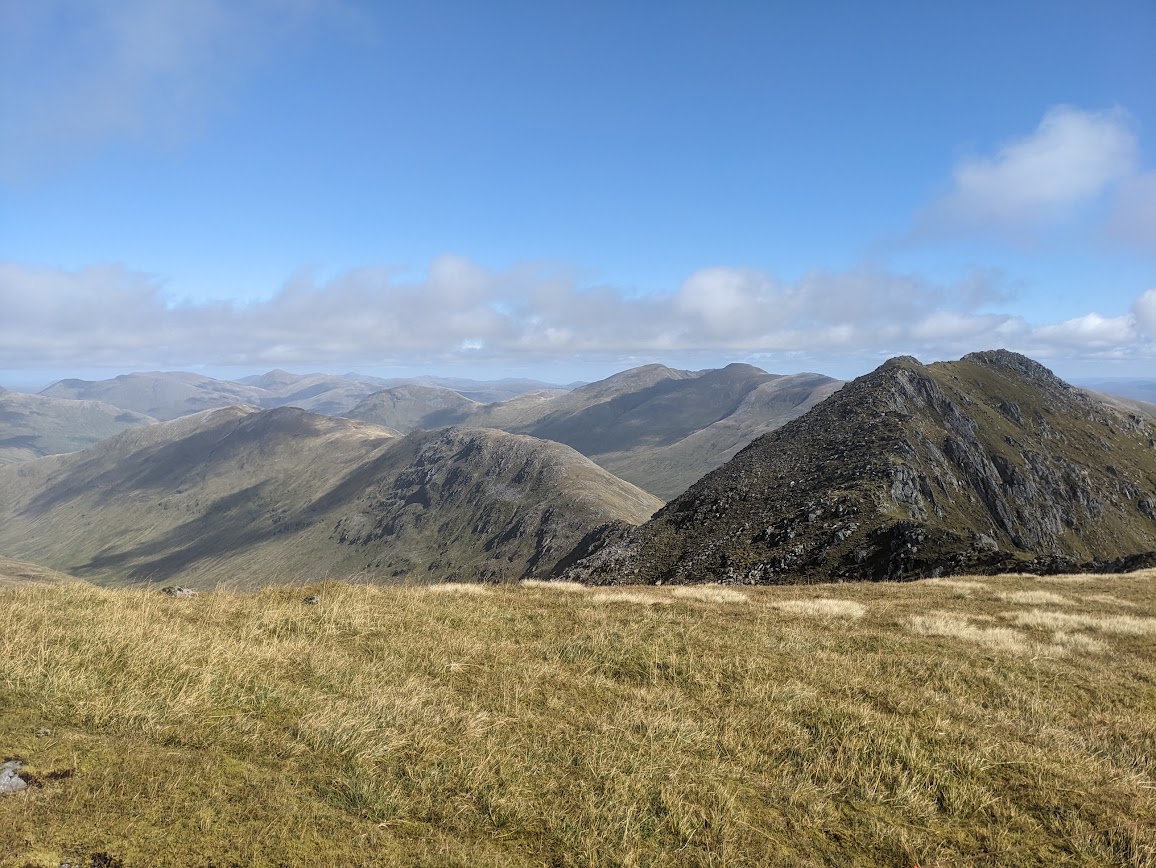
East summit on the right with the “interesting” ridge curving down and round to the right.
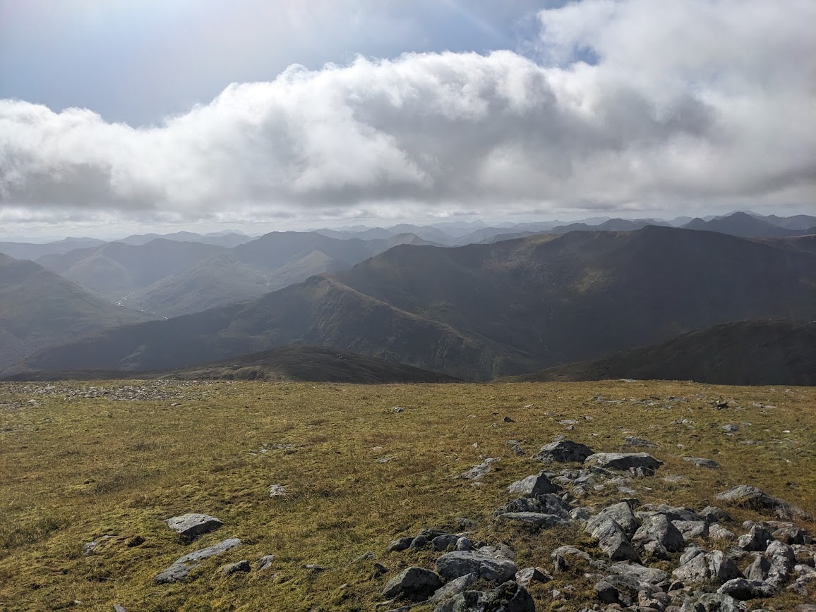
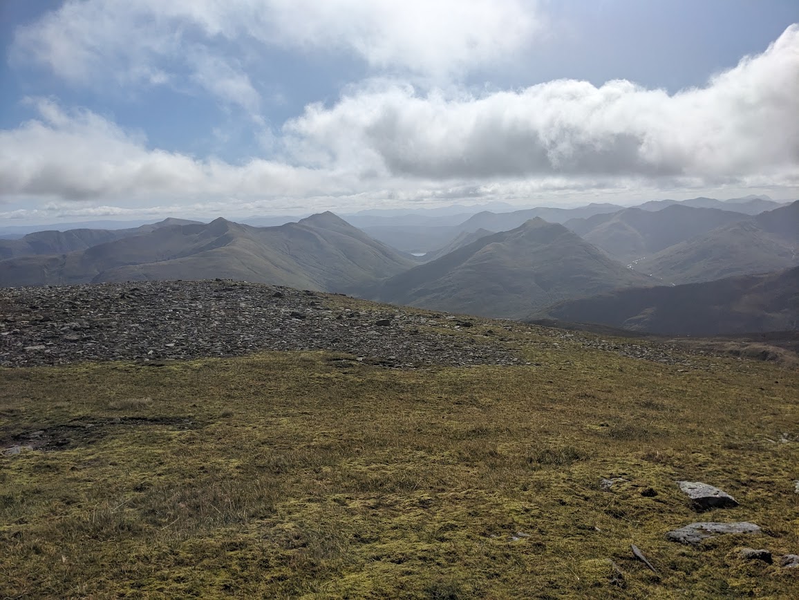
To the left of the glimpse of Loch Cluanie (centre of picture) , A’Chralaig GM/WS-014, Mullach Fraoch-choire GM/WS-018 and Sgurr nan Conbhairean GM/WS-016 as you work left, then to the right Ciste Dhubh GM/WS-070 closest with Am Bathach [GM/WS-170] beyond it.
Then hills as far as your eyes can see!!
Thanks for getting this far.
Alan

 from me to people who activate these big boys.

 , along with about another 3 or 4 biggies, well what else to do when you can’t get out?