“Challenging” is a relative term but I can only go on my experience of today and say this was very challenging for me. A long walk over pathless, rough ground then a fearsome wind to deal with on the summit. 
We are as far north as we will get on this trip around part of Britain. Tomorrow we head east towards Inverness then over the next three weeks or so travel down the east coast.
The weather forecast suggested there would be a window of good weather this morning but
an early start would be needed. So at 07:50 local time I left the campsite at Kinlochewe and set out on foot for GM/NS-073 the 692m Beinn a’Mhuinidh. I think this is pronounced Beyn a’Vooni but I’m sure I will be corrected if it is wrong - as it probably is.
The commonest routes up to the summit go up the steep south west side of the hill which overlooks Kinlochewe and Loch Maree. I had read some reports on line which spoke of “grabbing handfuls of heather” to make the ascent up the steep terrain. I had a look at the lower slopes yesterday which were covered in tall bracken and decided on a longer but less steep route.
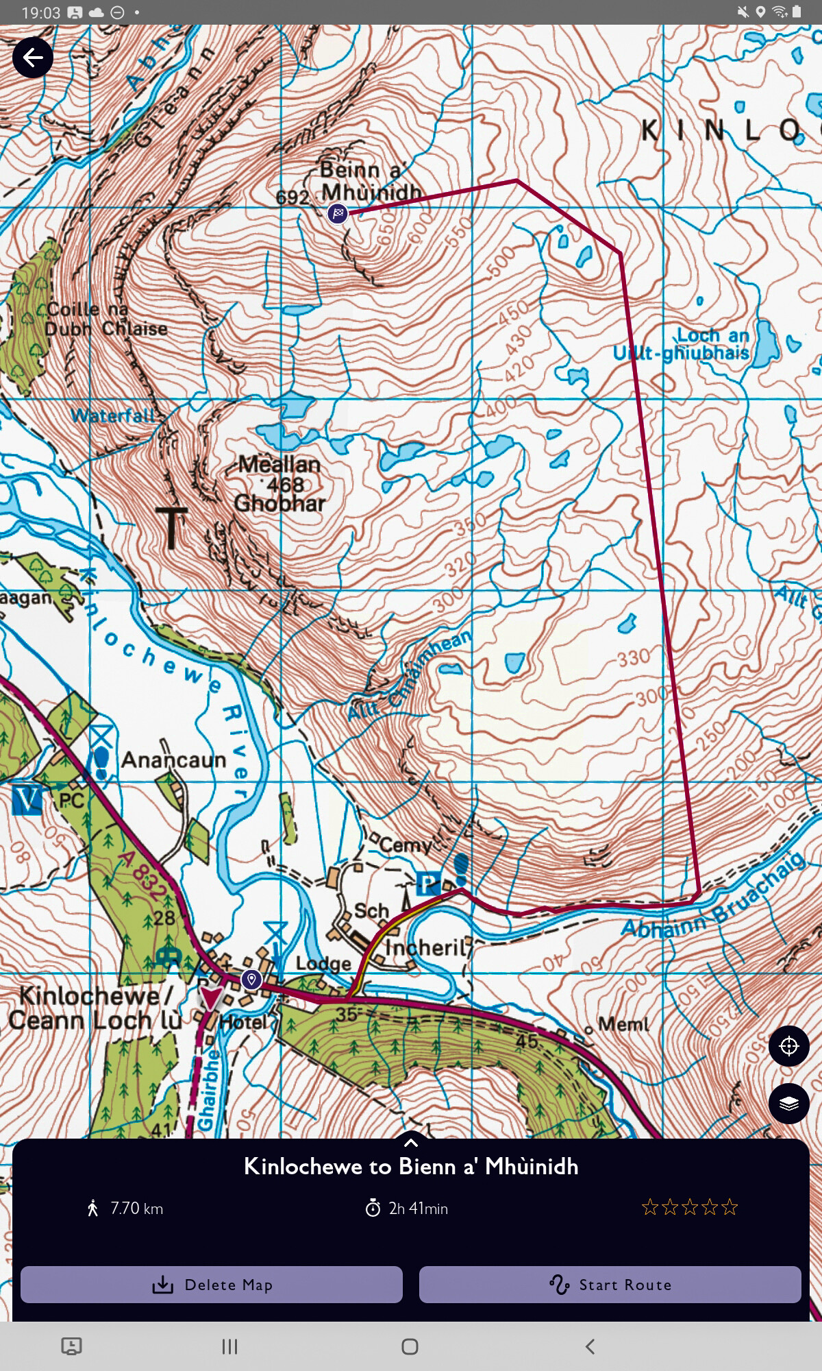
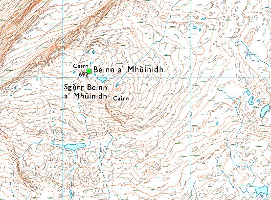
©Crown copyright 2021 Ordnance Survey. Media 018/21
The starting point is in the village in the lower left and starts along a track before at some suitable point I would head north to the summit, approaching the summit from the east as this avoided more steep bits.
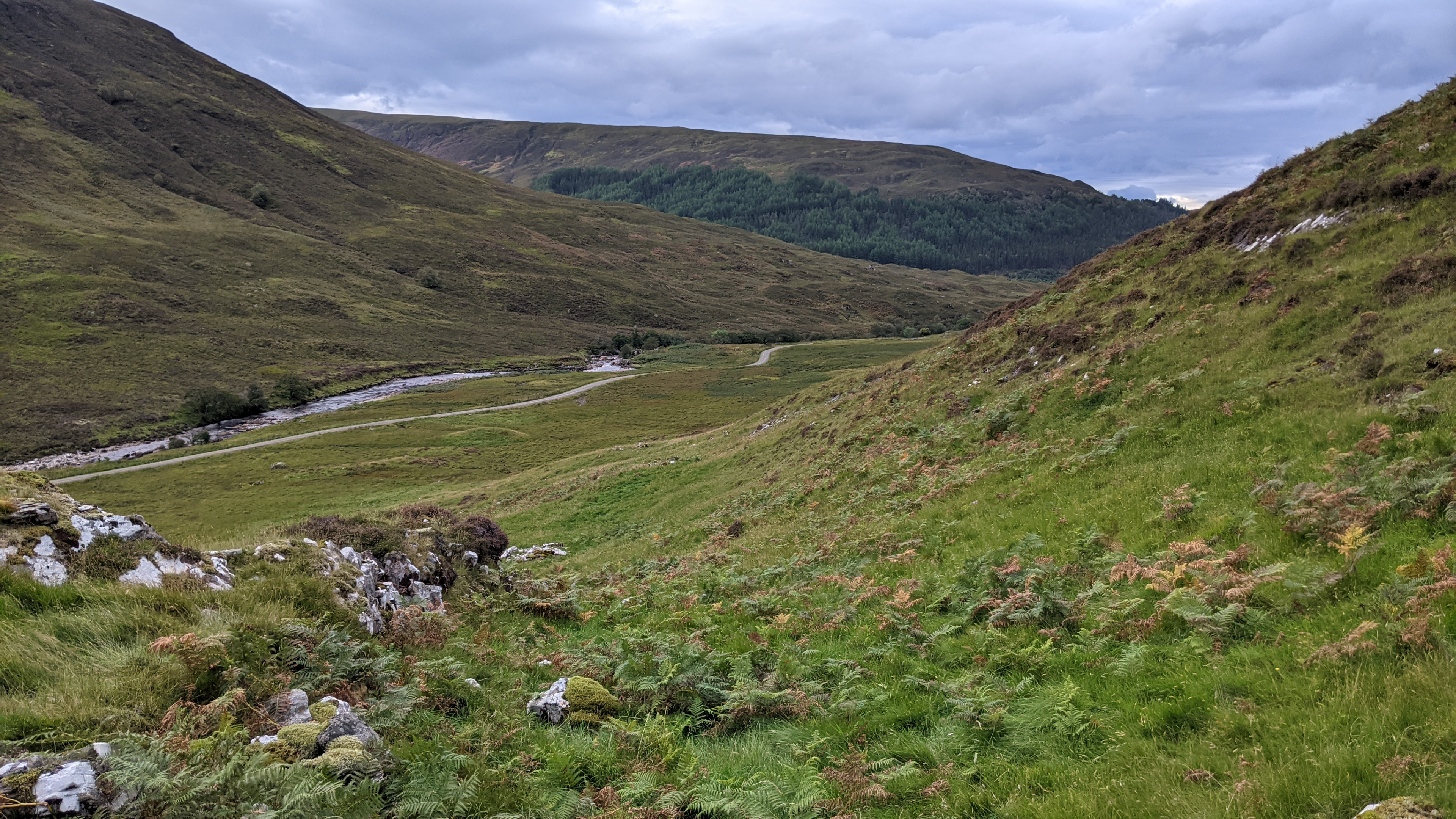
This is the view looking down towards the track shortly after starting the climb.
The starting elevation is only about 40m above sea level so reaching the point when the slope would start to ease off at 300m was a longish climb. Once you leave the track there are no more paths so progress is simply a matter of looking ahead and choosing the best line and avoiding as much of the bracken as possible. Fortunately the bracken here was only leg high and quite thin.
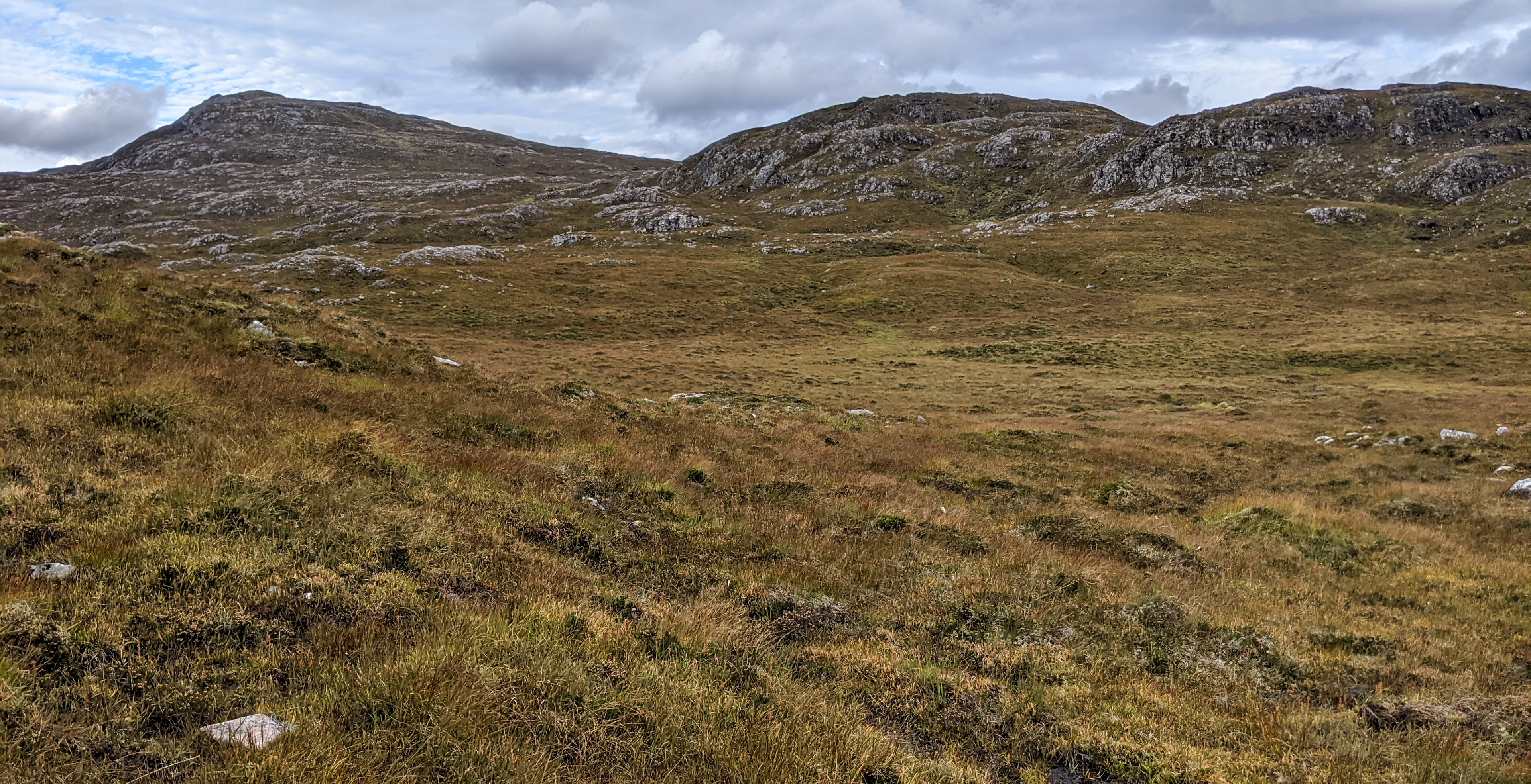
Reaching the 300m contour line I was expecting to see an extensive and flat moorland head of me. Instead it was a jumble of small hillocks and it was hard to pick the best line through them.
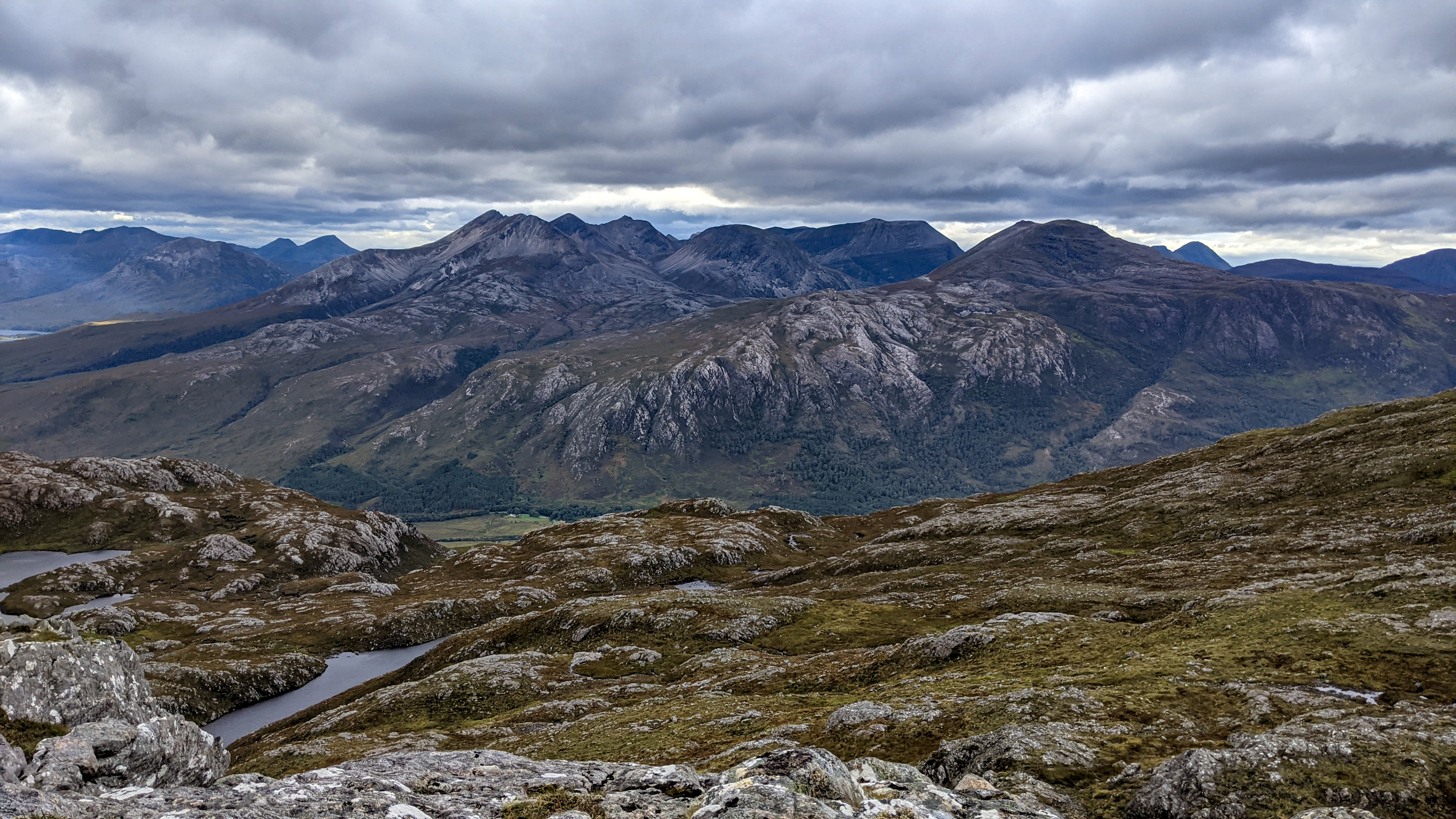
But eventually the summit of Beinn a’Mhuinidh came into view. On the left in the image below.
The summit has a small and neatly constructed cairn.

Throughout the walk until this point there had been very little wind, just enough to keep the midges away. But on reaching the summit three hours and twenty minutes after setting out the wind was howling out of the west. It was so strong I literally could not stand up beside the summit cairn.
I crept forward on hands and knees to take this shot of Beinn Eighe before retreating.
In the lee of the summit there was a small sheltered depression where I could set up out of the gale. I also took a few photographs which could have been better if I had climbed out of the sheltered spot but I wasn’t going to risk being blown off the mountain. A posthumous photographic award does not appeal to me.
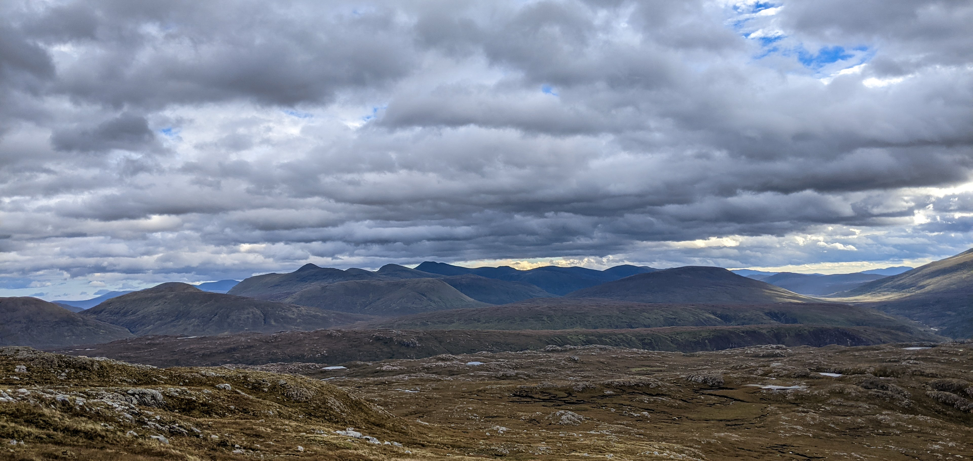
Looking east to Sgurr More.
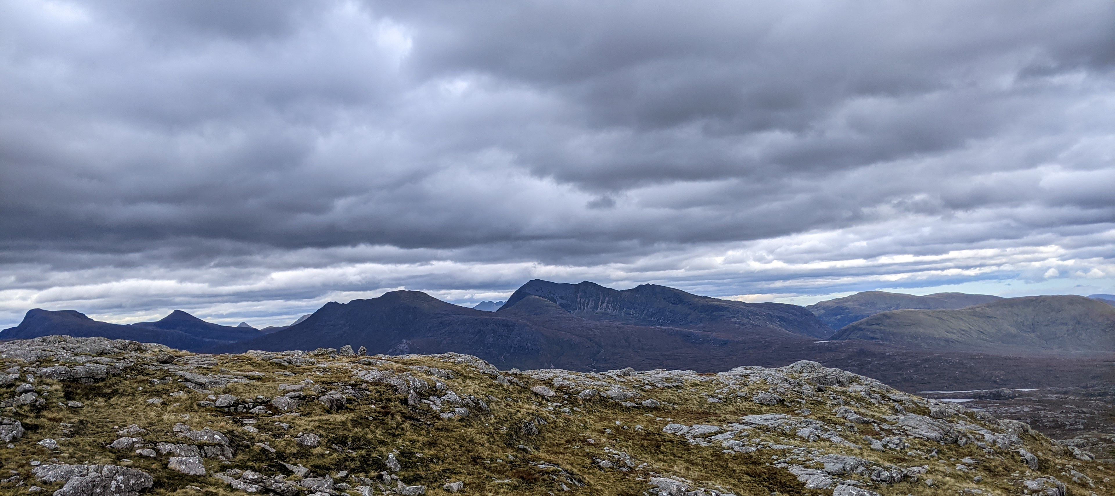
And north. In the centre, peaking through the notch is An Teallach. To the right of it Mullach Coire Mhic Fhearchair. I camped close its summit many decades ago. On the far left Slioch.
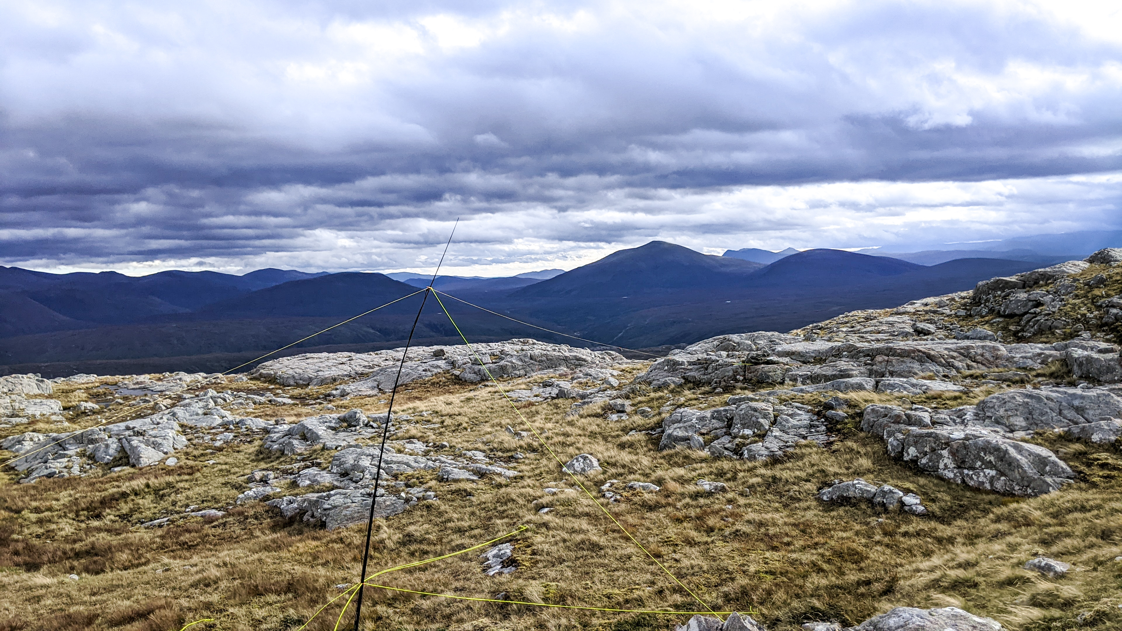
Setting up was fun with a 6m pole and linked dipole. The bend in the pole isn’t due to the tension in the guy ropes - it’s the windload on the pole. The centre of the antenna is only about 3m high as the wind was too strong for any more.
I had put up an alert for this activation so I was relying on RBNHole to post a spot. This was essential as there was zero phone signal where I was sitting. I might have got something by crawling to the edge overlooking Kinlochewe but I didn’t want to experience that blast again.
On 20m CW I started my first QSO with SP9MA but then the mast fell down.  Curiously, reception was still good with the wires on the ground but the SWR went off the scale when I tried transmitting.
I tried again after wrestling with the antenna and completed a QSO with F8CZI. I then struggled with two operators but couldn’t make out their callsigns. Apologies to O?7GR and F??QR. There was quite a bit of traffic and a callsign with a “/” was transmitting but they were very faint. It might have been my first CW S2S but the moment was lost.
Four more successful QSOs were made with F5JKK, R5FQ (my first ever Russian QSO), OK2PDT and then the unmistakable sound of EA2DT.
And then the mast collapsed again, this time telescoping down rather than the simple fall over it had done first.
There were still people calling me and on another day I would have tried other bands too but at this point I decided to quit, partly to avoid damage to the antenna but mainly because rain was starting to fall. By the time I had packed everything away it was raining quite heavily as I started the long trudge back to the campsite.
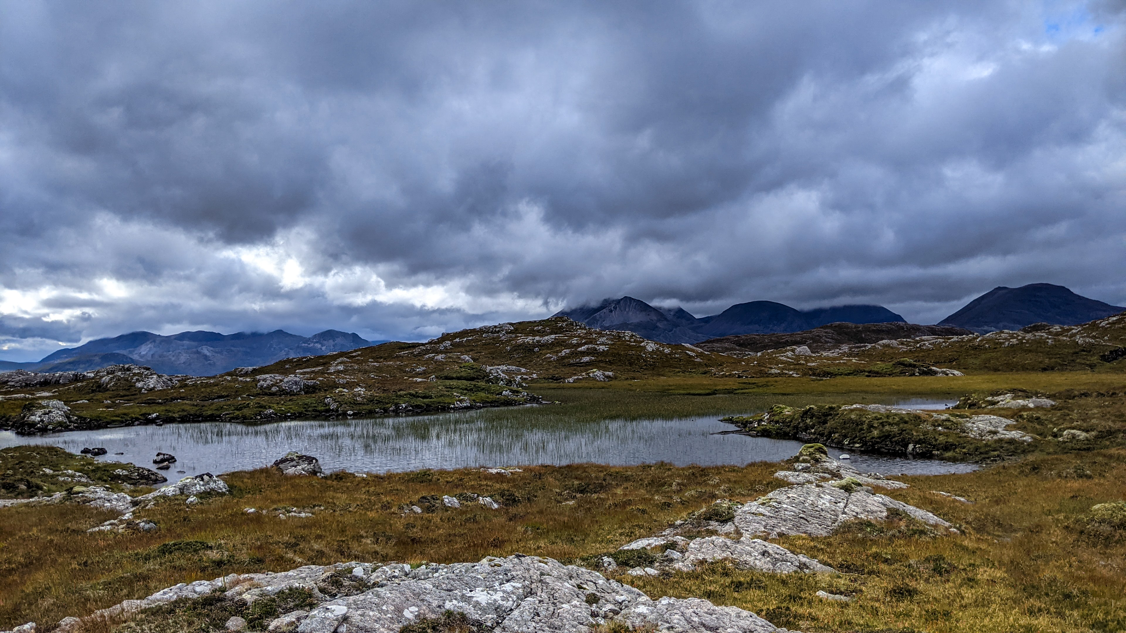
One of the Lochans near the summit.
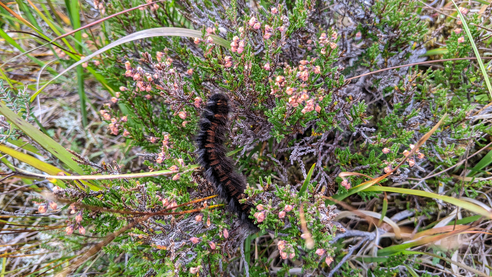
And no thread by me is complete without a few nature shots.
This is the caterpillar of the Northern Egger moth which can grow to 8cm. It feeds on heather and bilburry. Its Latin name derives from the Greek for “Hairy caterpillar”.
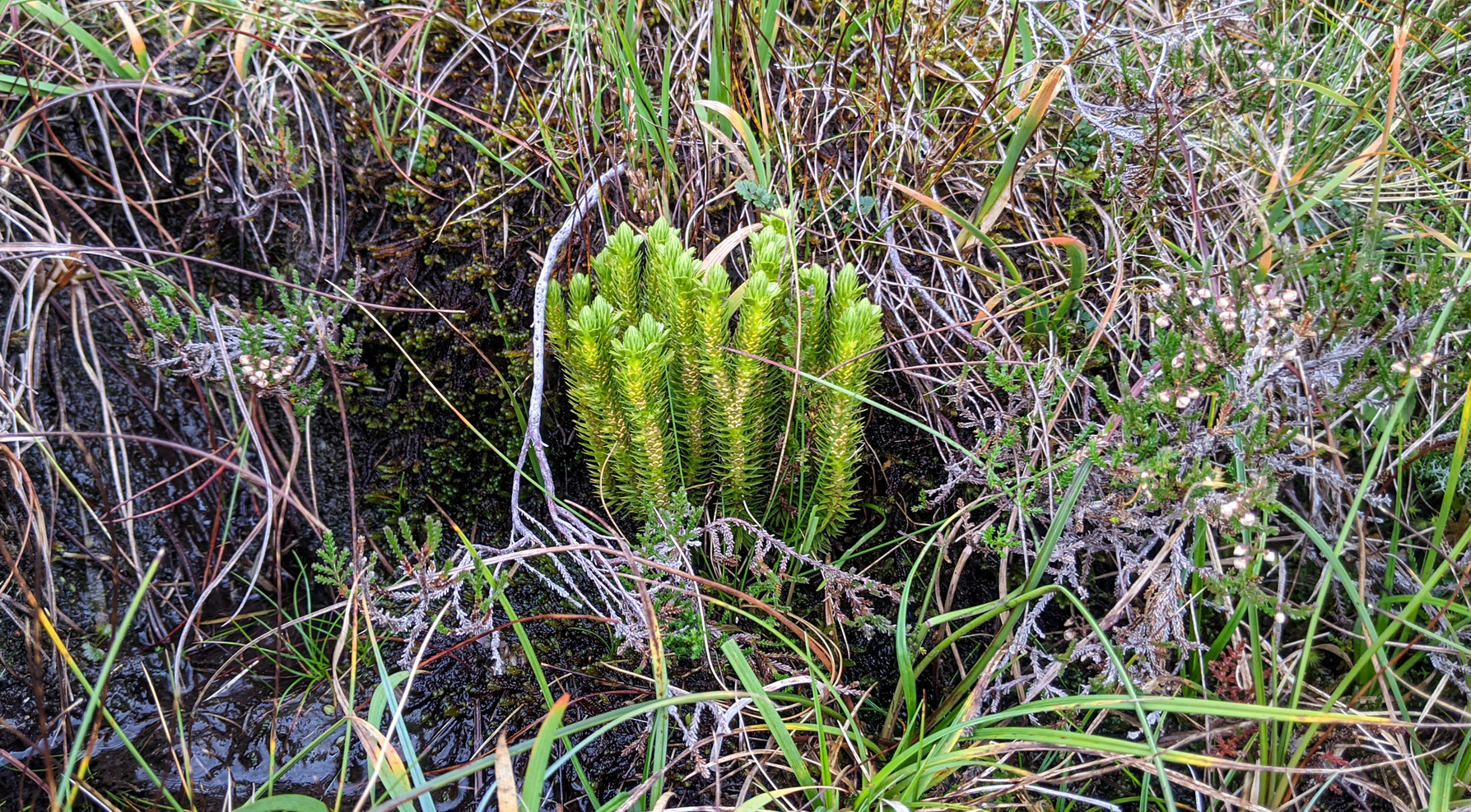
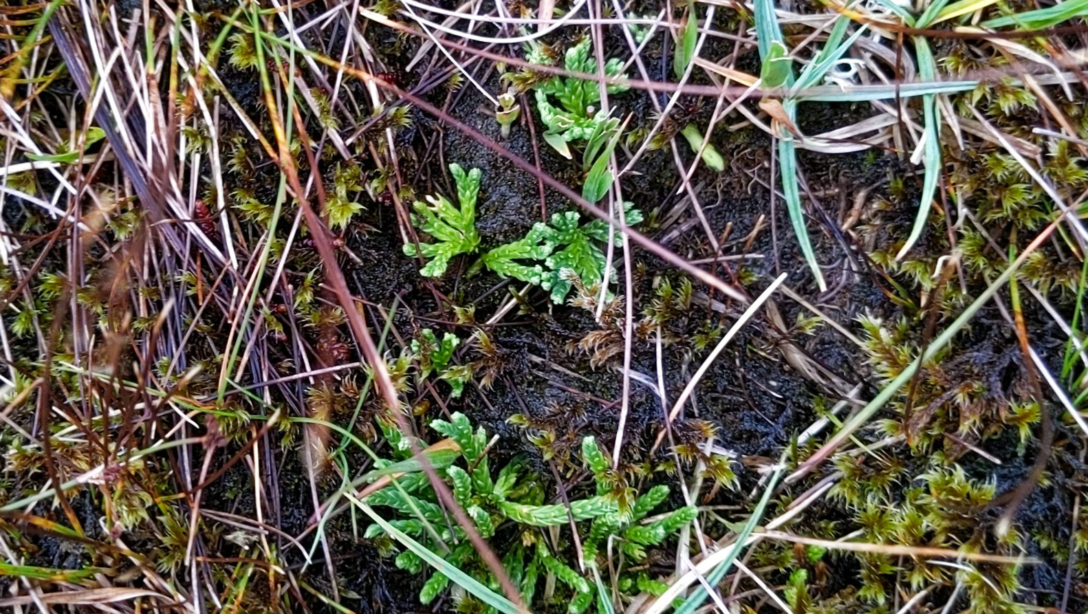
Obscure botany stuff now. The next two shots are of club mosses. They are more closely related to ferns than mosses. They can be very hard to identify so “Club moss” will have to do. I have a book on them but haven’t brought it.
My GPS says the total distance covered was 18.7km, total ascent 856m and time taken just over 7 hours. The rain on the return leg was only intermittent but sitting in the campervan now I can hear the real stuff has now arrived and it is pounding on the roof.
Many, many thanks to all the chasers and my apologies for not staying on the summit longer but the wind and then the rain brought the curtain down. This was only the third activation of this summit and the first in CW - and I couldn’t have done it without you. In hindsight this might have been a perfect opportunity to try my MP1 antenna as I think that would have stayed upright - but I just wasn’t expecting the wind.