Radio: Elecraft KH-1
Antenna 1: DIY 15m EFHW, POTA20 mast
Antenna 2: Elecraft whip, AXE-1 coil, 13’ counterpoise, 33’ counterpoise
This trip nearly didn’t happen for me due to an Achilles injury from February that I am still recovering from, so I was very fortunate to get out there at all. As a compromise, I did half the Smokies along the Appalachian Trail, starting at Clingmans Dome hiking toward Davenport Gap, the northern end of the Great Smoky Mountains National Park.
Along this route, there are six 10pt summits along ~40 miles of trail, excluding bushwacks to a couple of peaks.
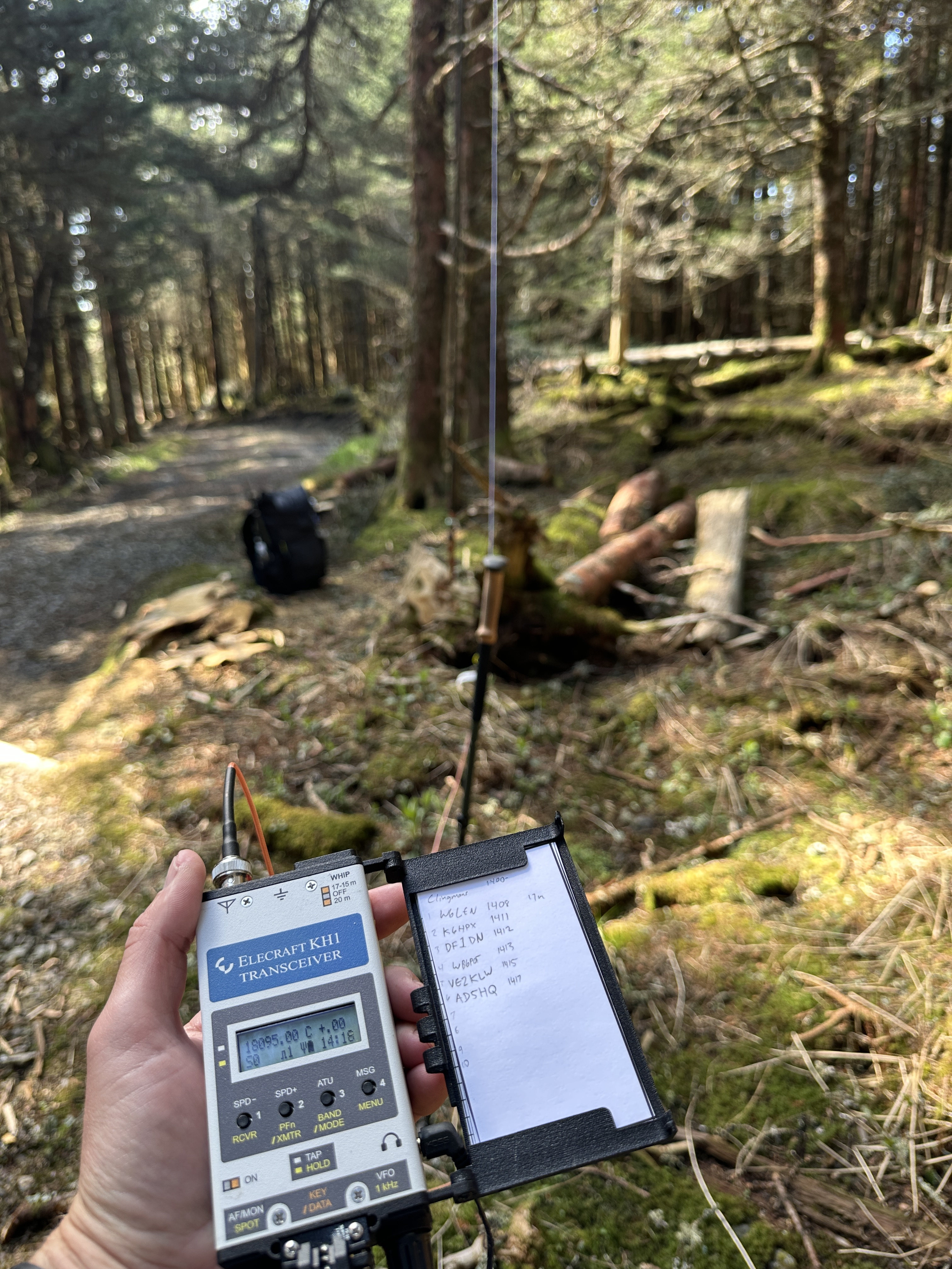
Day 1 began by dropping my vehicle at Davenport Gap and taking a shuttle to my starting point. After the steep rise from the parking lot to the summit, I activated W4C/WM-001. I began on 15m and got no bites after a few mins of calling. I attached a 13’ counterpoise to my KH1 and tuned the 15m EFHW to 17m and had 6 Q’s in just under 10mins. I then tuned it for the 30m band with the 13’ counterpoise attached to the rig and got another 5 Q’s in as many minutes.

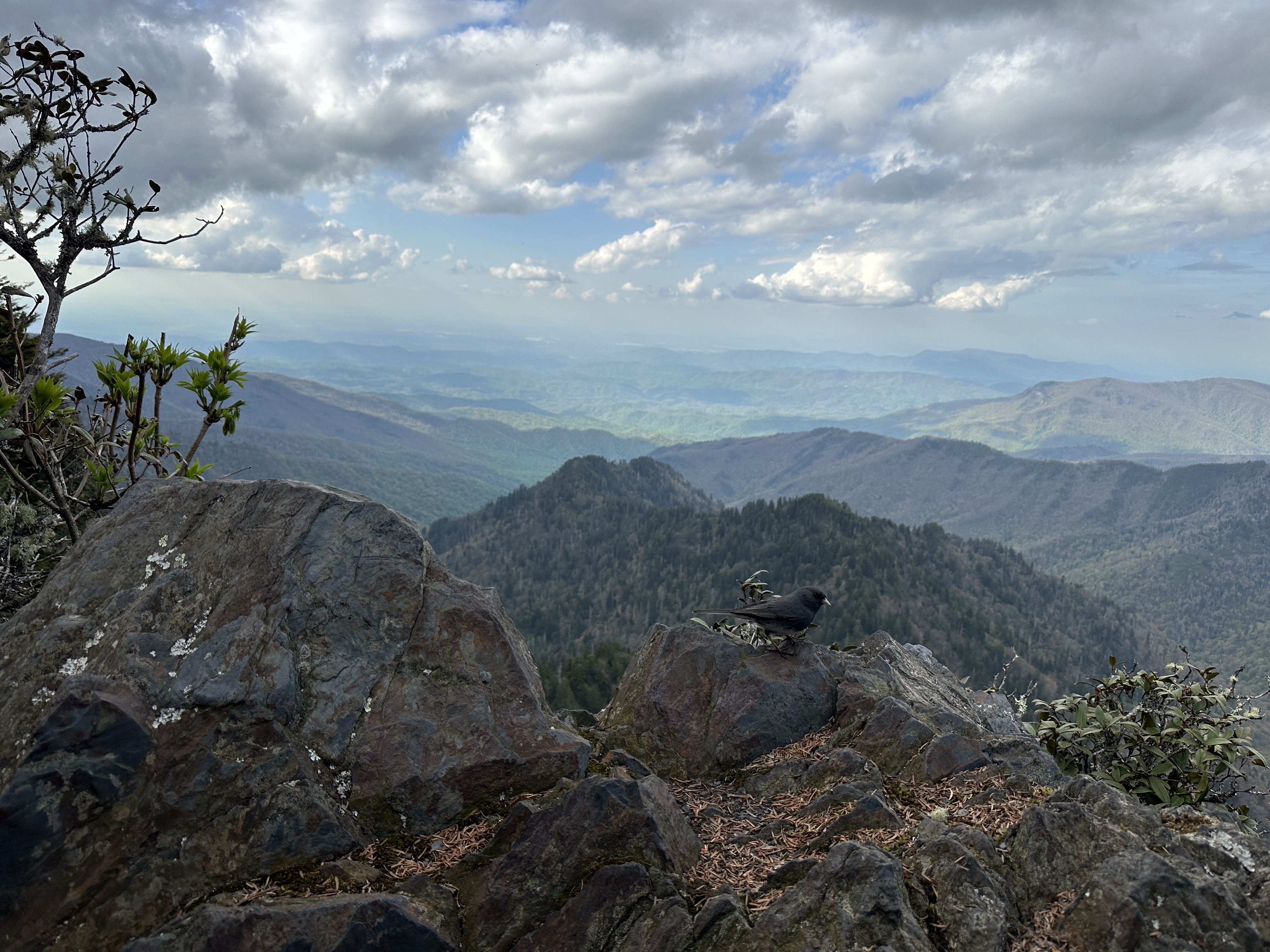
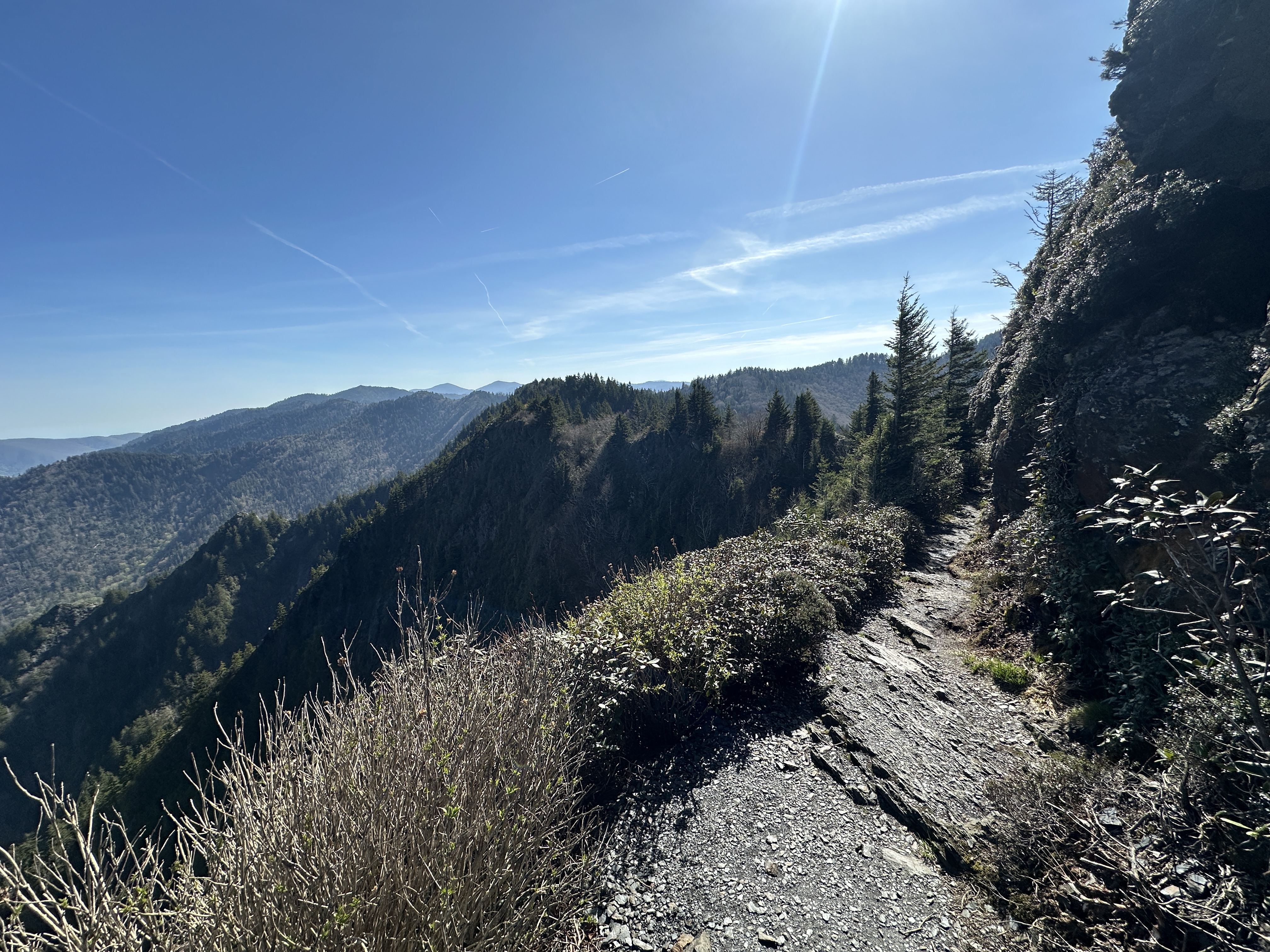
I packed it up and continued on the AT, hiking another 10 miles and change before reaching Mount Kephart W4T/SU-006. 15m was more cooperative later in the day, 9 contacts in 6 minutes. For kicks I used the tuner and called on 17m a few times and got 2 more in the log. I sent QRT and walked the extra .2 miles until I reached The Jump-Off, where I had dinner with a view before descending to the Icewater Spring Shelter.
The mountain forecast called for 52-54°F, but it was 43° that night, leaving me chilly in my ultralight 50°F rated quilt.
The following morning I proceeded to Charlie’s Bunion for breakfast then hiked 5 miles to Laurel Top W4T/SU-007. This was a steep bushwack, with loose rock beneath the moss not inspiring confidence. I simply used the 4’ whip on the rig for a quick 8 Q’s on 20m. I had no bites on 15m nor 17m. Even though 20m feels like cheating at times with how easy it often is to activate on that band, it’s still amazing to get US->EU DX with a 4’ whip and 4w.
I carefully descended and hiked the 6.8 miles to the summit of Mt Chapman W4T/SU-004. This summit has a pretty neat manway that is fun until the very last portion when the mossy trees and rocks give way to annoying shrubbery you don’t typically see beyond 6000’ ASL here. The operating site was far from ideal as well, with not many good places to sit amidst the stiff shrubs. I had just enough space to put up the 15m EFHW. 4 contacts in 4 mins, just in time for a storm to appear. I called QRT just in time, as an incredible thunderstorm opened up just as I made it to the Tricorner Knob shelter 1.2 miles away from the summit.
That night was slightly warmer than forecasted, and the 50° bag fared quite well.
The original plan called for a slower pace with one activation on each of the next two days but I woke up motivated to go the distance. After a hearty breakfast I knew I was going to activate 2 more summits on day 3 and finish the hike to Davenport Gap a day early.
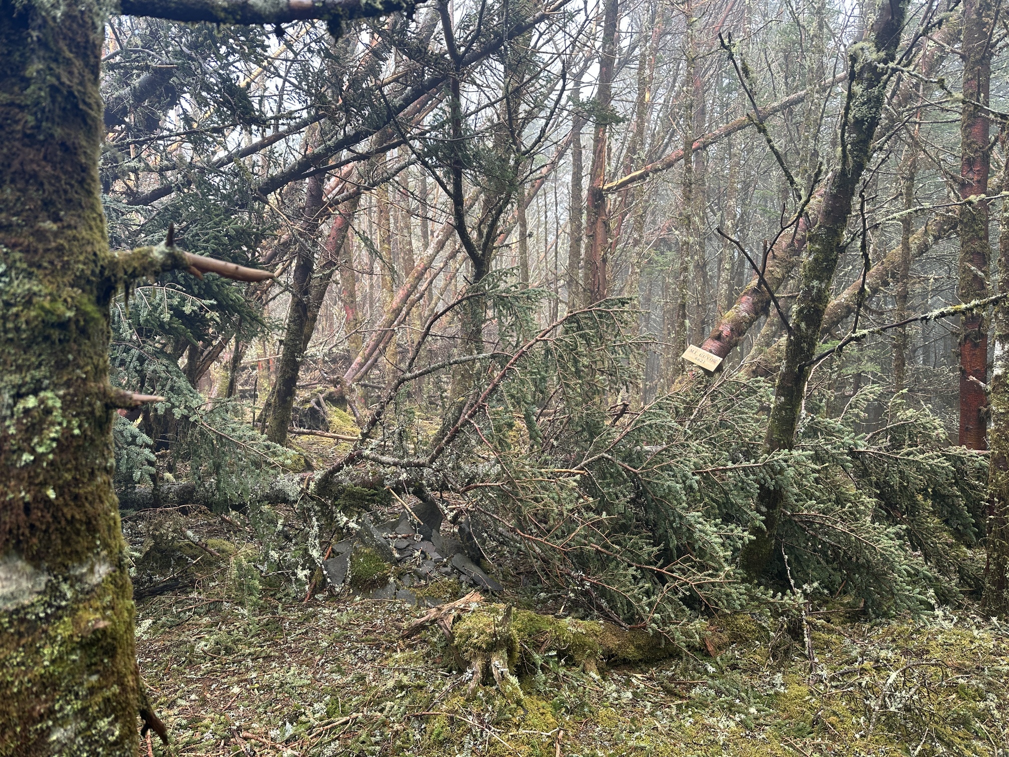
I hiked then bushwhacked to the peak of Mt Guyot W4T/SU-002. This summit has my favorite bushwack, following a faint manway of disturbed moss off the trail to the highest peak in Tennessee. I was immediately struck by the damage presumably caused by Hurricane Helene, as the summit cairn was now buried beneath a pile of knocked down red spruce.
The last time I was on Guyot, I had 54 contacts, mostly on 10m. On this day though, I was happy enough to use the Elecraft whip with the AXE-1 to drum up a quick 7 contacts on 40m, followed by 3 more on 30m. I had some miles to cover and couldn’t spare an hour on the summit.
I descended and hiked 9.1 miles to the summit of Cammerer W4T/SU-012. The summit itself was uneventful hardwood forest, but the activation took a little more effort. I was short on time due to another rapidly building thunderstorm so I was satisfied with 2 contacts each on 17m and 20m, using the 15m EFHW with the internal ATU.
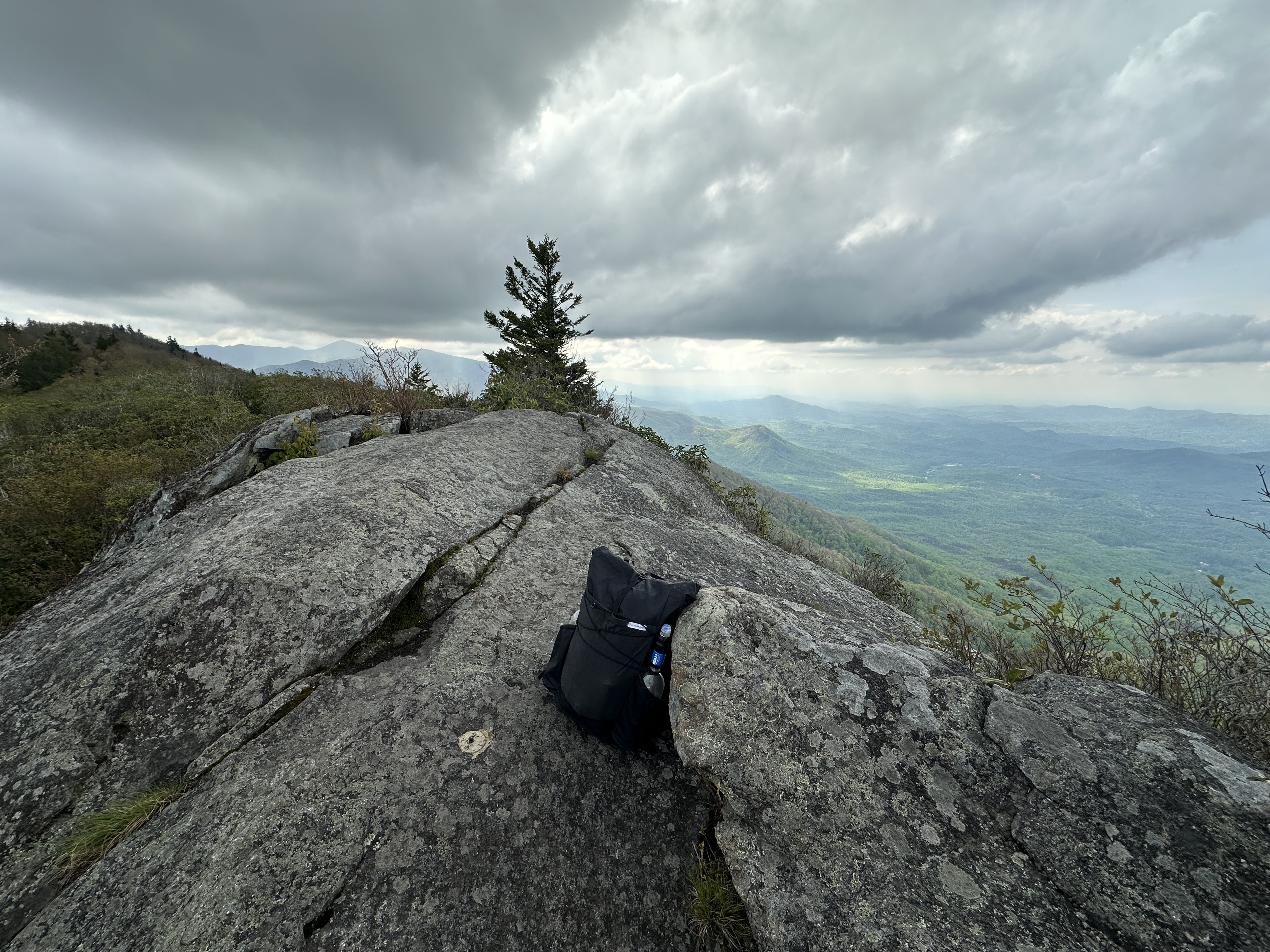
The rain held off long enough that I was able to visit the Mt Cammerer Fire lookout, which had beautiful views of the route I had nearly completed at this point.
Thunder began and the rain followed, so I returned to the AT and hiked out the remaining 5.6 miles to Davenport Gap.
The backpacking trip was complete, all summits successful activated with a really fun time along the way. Would I have enjoyed better propagation? Of course, wouldn’t we all? But given my goals at the outset, I would say all were met except my personal “15m Challenge” I have going this year.
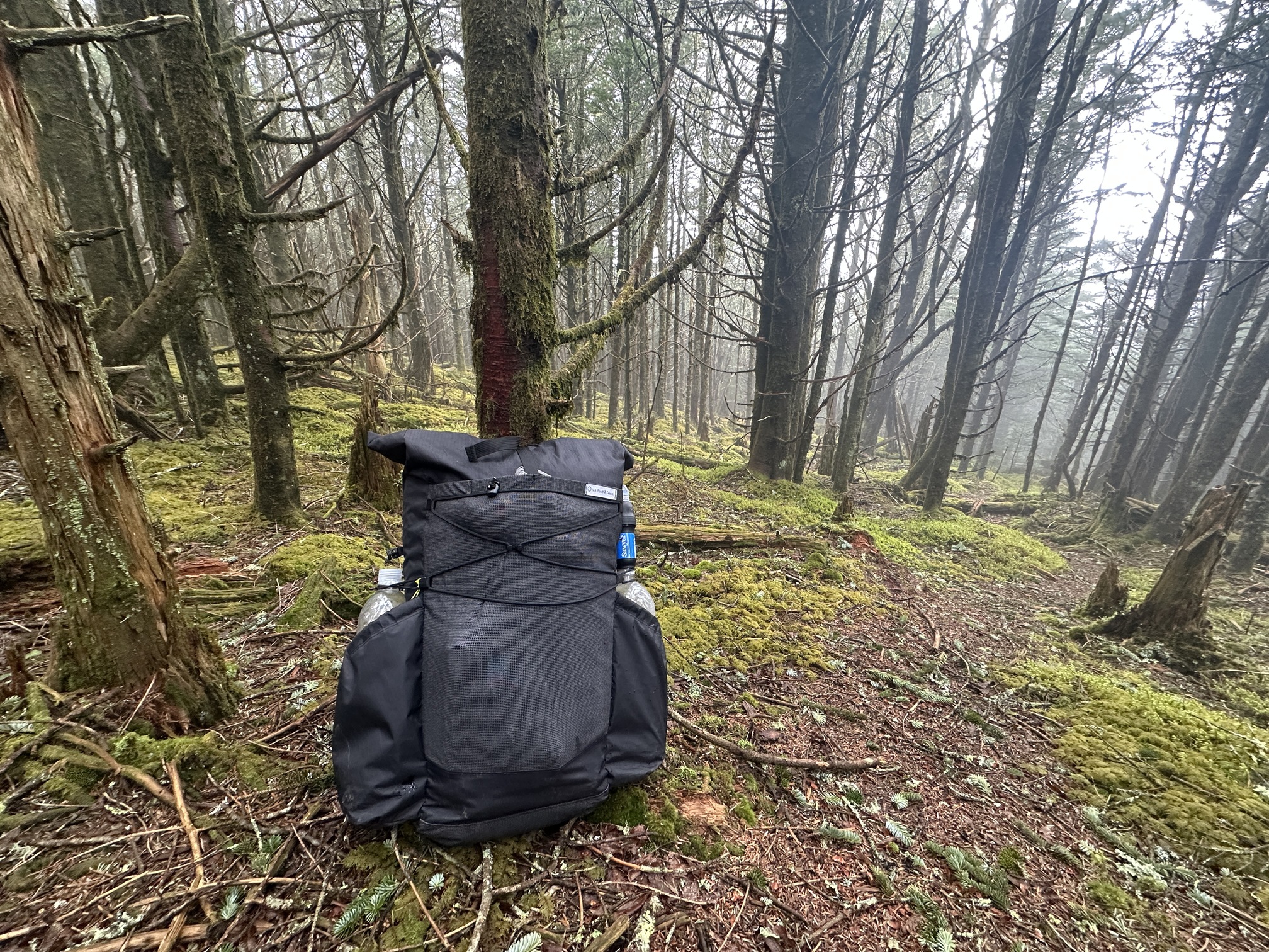
If anyone is interested in the backpacking gear, I’m happy to elaborate but didn’t want to focus on that in the original posting. I’m very happy with my system, being ultralight but not ultra-uncomfortable either.
The plus side to finishing the trail early is that I had time to activate an additional 6 summits around the Smokies. Previously I assumed I would never make MG in this program, but now having a touch over 700 points I’m starting to wonder otherwise.