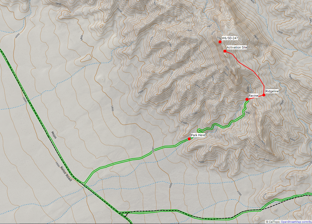
This unnamed peak is in the Mojave National Monument here in California, but has not been on the air before. My wife, dog, and I decided to hike it for SOTA. The map of the route is below. We hiked the peak from the west, using the remains of some old mining roads that are out there. (Note, the roads don’t show up on USGS 7.5 min topos, but you can find them on satellite.)
Below is a photo of the road approach, looking at the peak from the west.
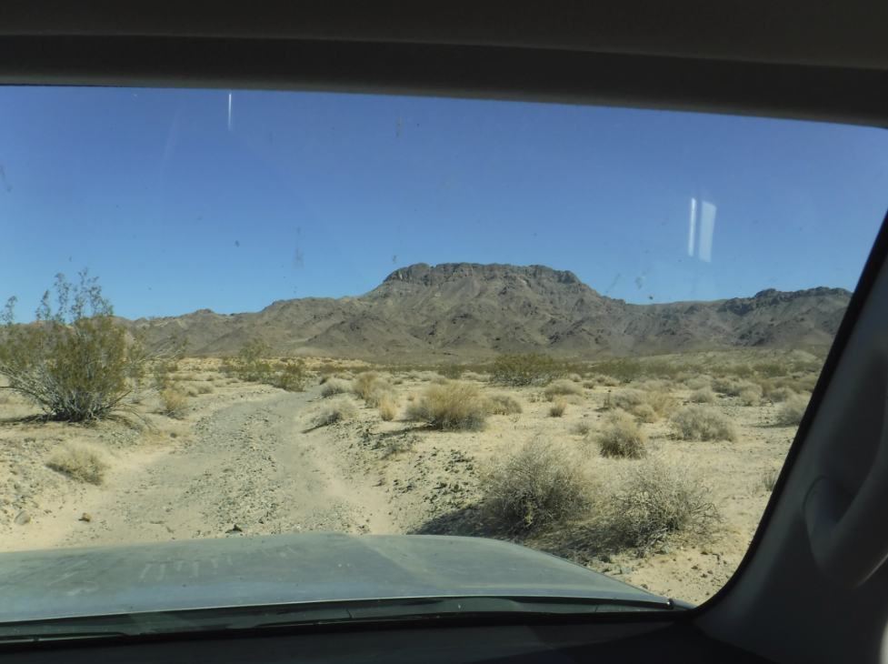
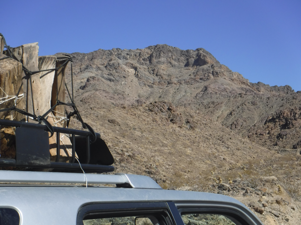
We took the road until it turned into boulders, and then parked. This is a view of the peak from the parking spot. Don’t even think about parking here if there is rain in the forecast though - you’re right in the flood path.
The old mining roads form a confused network that take you partway up the hill. In the future I’m not sure I would use them - they are in bad enough shape in most places that they don’t save you much time. Anyway, we followed the roads to their highest point, and then left them to go up a ravine and catch a small ridge that leads to the main ridge line. This is a view looking back down the ravine which we ascended.

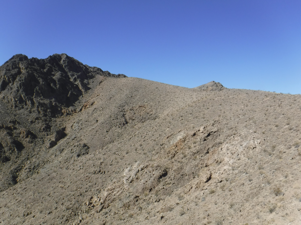
When you claw your way out of the ravine you will be on the main ridge and on the home stretch to the peak. This is a view of the ridge looking north towards the peak.
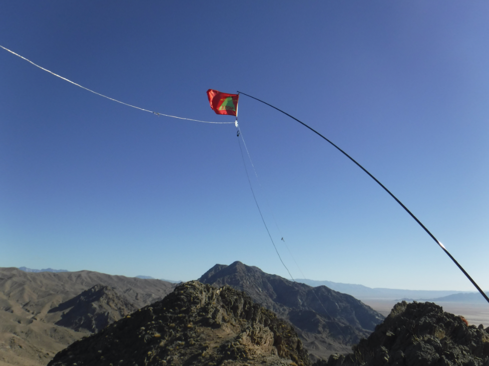
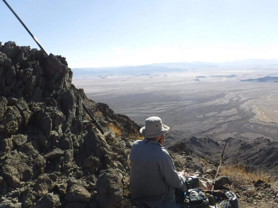
From there the route is pretty simple. Just go north up along the ridge and approach the peak from the southeast. Finding a safe activation spot will be tough though. The top of the peak is pretty steep and rugged, with few good places to set up an antenna. We set up on a small flat spot just within the activation zone.