Just got home from 3 days backpacking around Mt. Rogers and was able to get the summit activated on 2m FM (just barely).
Day One
Headed out from the Massie Gap trailhead inside Grayson Highlands State Park. Picked up the northbound Appalachian Trail and headed out to the Old Orchard Shelter. Had a tent but the shelter has a permanent water source, privy, and bear box (so I didn’t have to carry my own bear canister) so made for a good spot to camp. Ran about 8.5 miles with 1300’ of ascent and 1900’ of descent. Did not see any bears but did confirm the answer to the age old question, bears do in fact poop in the woods. Got an aeronautical mobile contact who said he was at about 4500’ so I’m pretty sure I was actually above him. Didn’t check my watch but I was probably somewhere around 4800’-5000’ at the time.
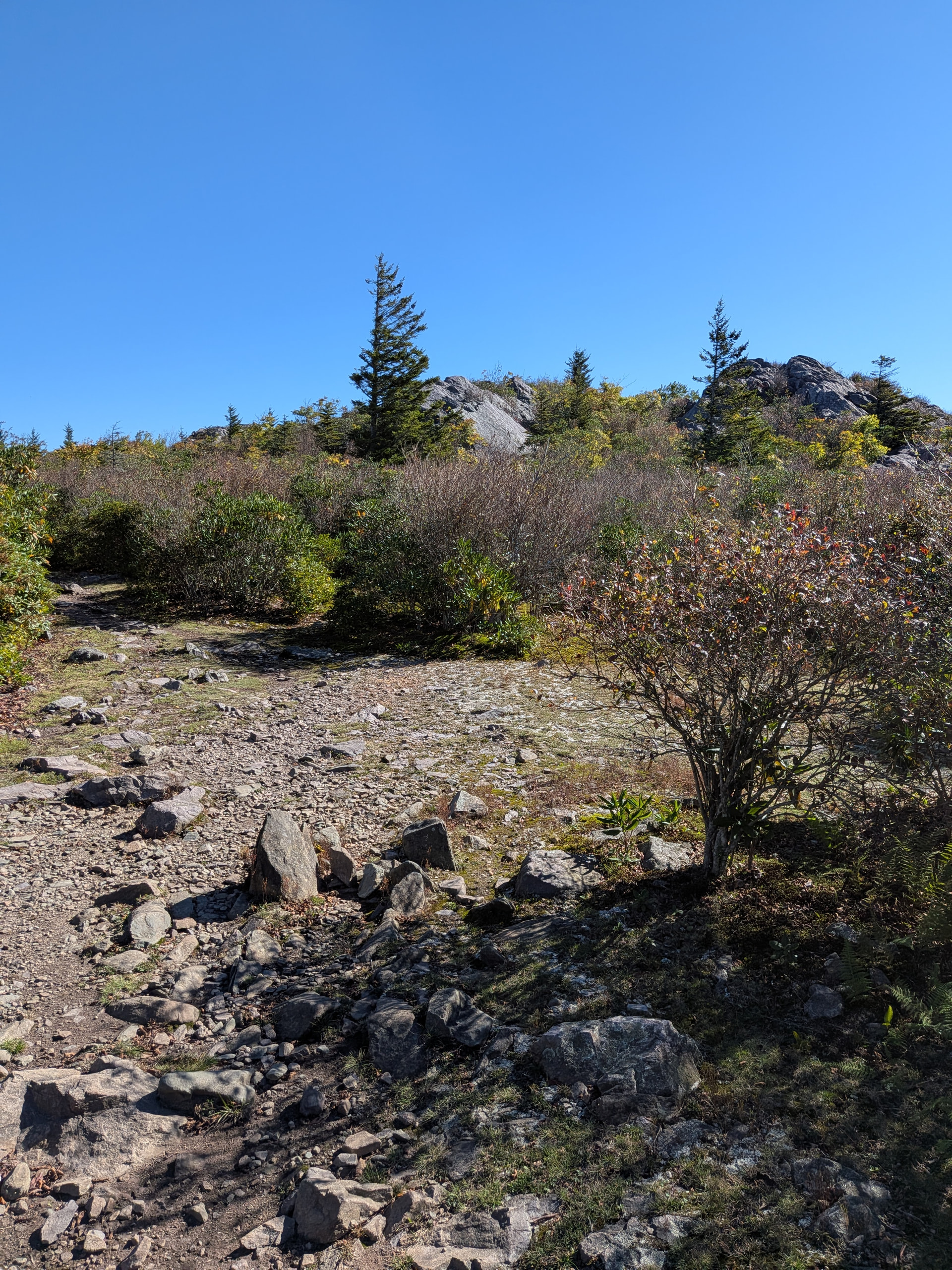
Day 2
Left camp and turned west on the Lewis Fork trail (according to my map) or Old Orchard Trail (according to the actual trail sign in the woods). Followed that around to pick up the Mt. Rogers trail which was brutal. Totaled about 1950’ of ascent in just under 7 miles but it was all the worst the Appalachians have to offer. Chunky boulders as the trail surface and overgrown green tunnel the whole way. Made it to the Thomas Knob shelter around 4PM which was maybe a 1/4 mile from the spur trail to the summit, so we set up camp, made a quick coffee and snack, and then set off to the summit for the activation. Was about 3/4 mile to the top from camp with an additional 350’ of elevation but felt much nicer without having to have a 30lb pack.
Absolutely beautiful activation zone:
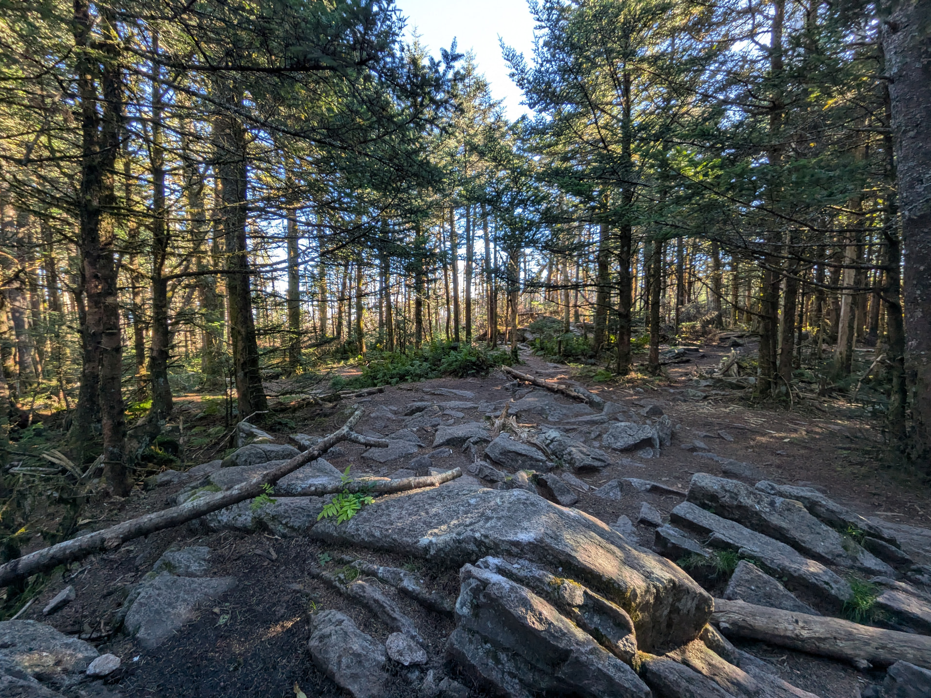
Set up my N9TAX Slim Jim tied to the tallest branch I could reach, hooked up to my Anytone D168, and started calling. Got 2 mobile contacts driving on Interstate 81, one semi-local resident, and managed to solicit one good sport on a local repeater to switch to simplex and complete the activation.
Day Three
Headed out from camp back down to the parking lot which only ended up being about 3.5 miles but had easily the best views of the trip.
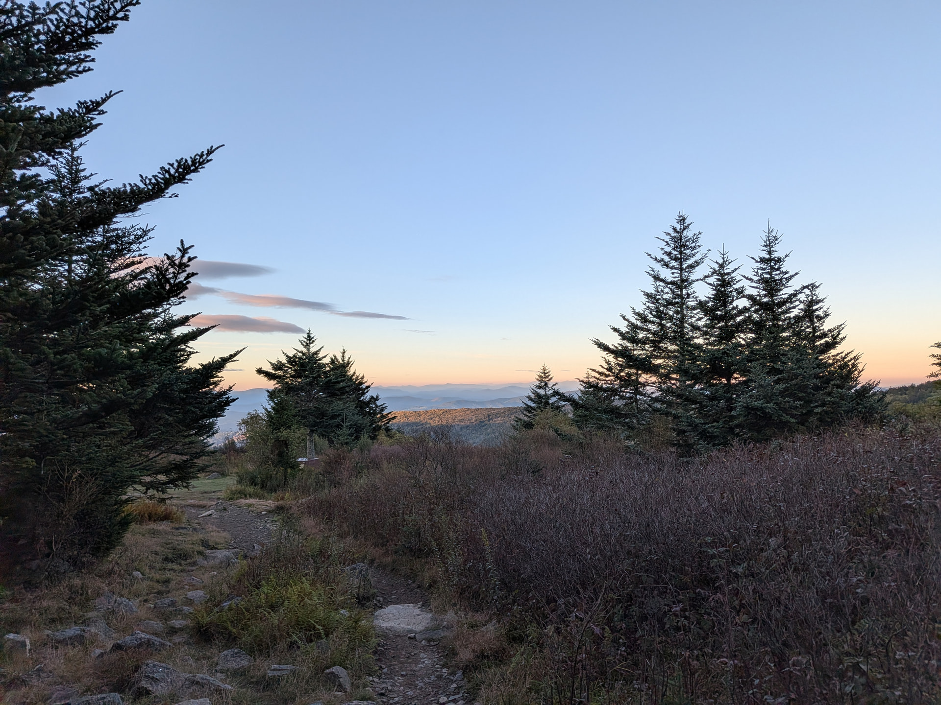
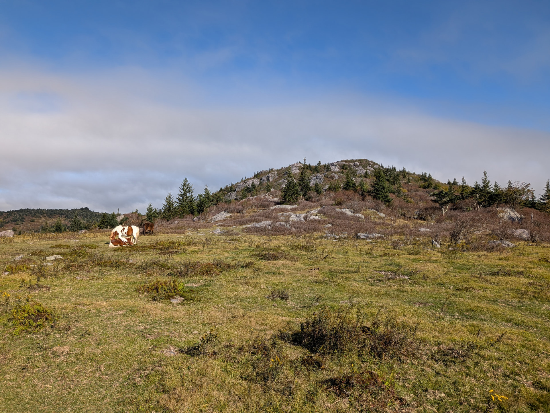
All in all had a blast. Was some really tough hiking. Surprised by how few people use FM around there. Could hit 2-3 repeaters almost the entire time and the only traffic I heard (despite throwing out some calls periodically) was a guy who was trying to program his radio and apologized for bothering me (but he did come back later to be my last contact!). Nothing on .52 outside of that one aeronautical contact and the actual activation. To be fair I think I had the most used repeater down there (the 443 KM4X machine on Whitetop MTN W4V/WV-002) programmed wrong because I never even heard a carrier after calling, even though it looks like I should’ve had LOS.
If you’re ever planning an activation I highly recommend just going the other way from Massie Gap straight to the summit and skipping the back side of the loop unless you just want the bragging rights. All of the good views are on the 4 miles from there along the SOBO AT to the Mt. Rogers Spur Trail.