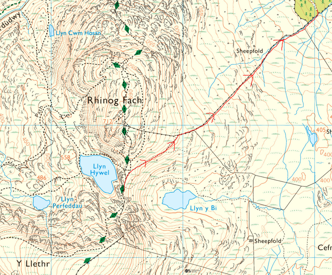
The weather forecast showed a wedge of high pressure moving in, so I planned a short two-day trip to Eryri/Snowdonia National Park. The trip started early on Saturday morning with a 3.5-hour drive from the Yorkshire Dales.
It was a weekend so there were no major urban rush hours to contend with along the way – on a weekday, the trip involves getting round Greater Manchester, Merseyside and Chester on the motorway network.
The weather forecast was cool, clear with reasonable winds on both days, and thankfully proved accurate.
Day one
(c) 2026 Ordnance Survey
The plan was to do two summits, operating on 4m, 2m and 70cm FM on both, and 7mhz SSB on the second summit.
Equipment used was the Icom T10 and Diamond RH770 for 2 and 70, Anytone AT779 (4m version) and Spectrum Slim-G for 4m, and the Xiegu X6100 and “Tom-D” antenna for 7mhz (a homebrew dipole very kindly donated by M1TJM).
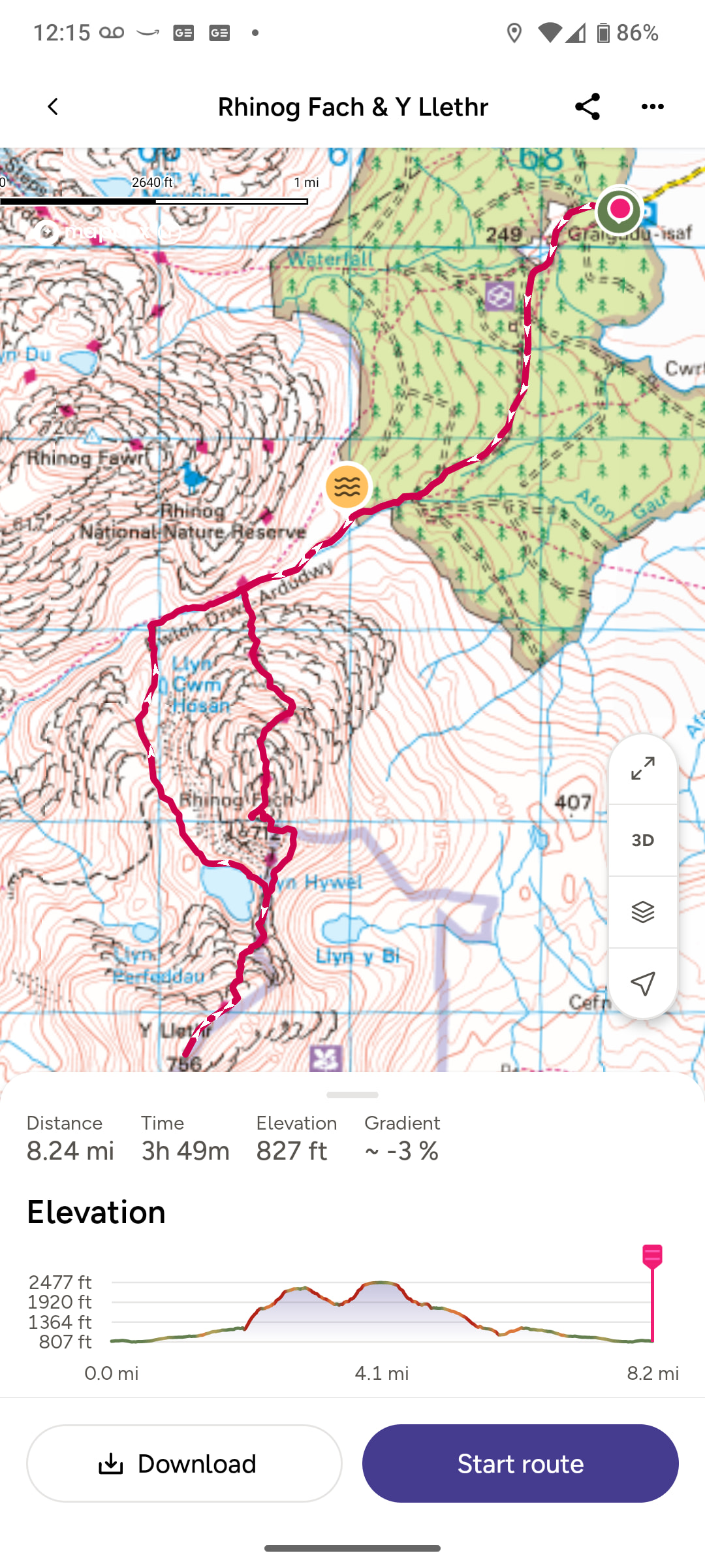
The planned route is inland from Harlech on the Welsh Coast and covered Rhinog Fach (GW/NW-078) and Y Llethr (GW/NW-017), both new summits for me.
The first part of the walk was very easy on a forest road. There was then a short stretch of path up to Bwlch Drws-Ardudwy (the pass between Rhinog Fach and Rhinog Fawr). In this section it was nice to see early signs of regeneration following the recent wildfires.
Picture – Rhinog Fawr
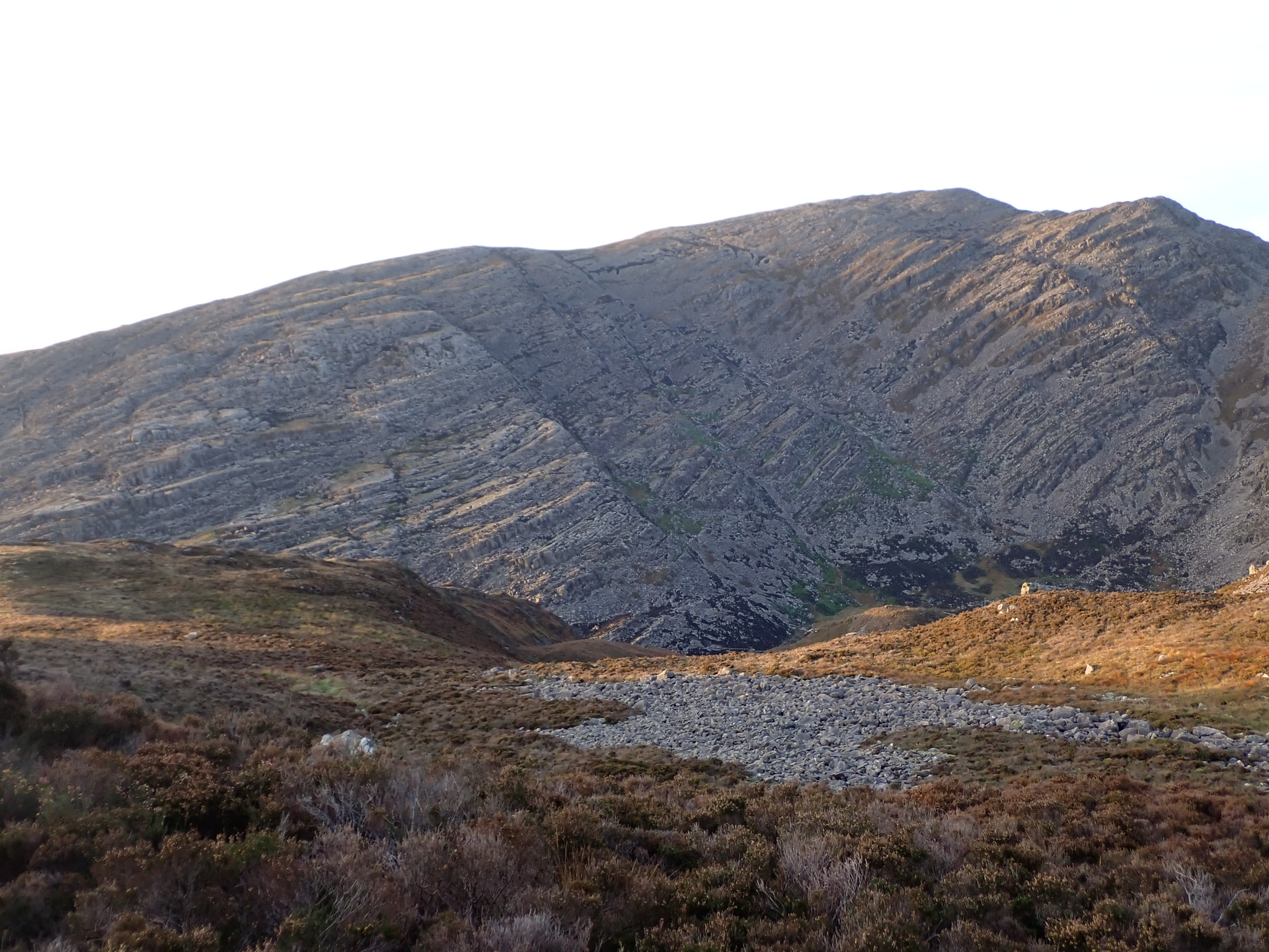
The climb up Rhinog Fach is quite steep but manageable.
First calls in the log on 2m were MW7DBF/P on Cadair Idris GW/NW-009 (we also made the 70cm contact later) and G0KUY/P activating POTA GB-1231, a good distance away on the Pennine Way.
There were three other Summit to Summit calls on 2m with GW5JFJ/P on Mynydd Enlli GW/NW-072, MW9SAW/P on Mynydd Carn-y-cefn GW/SW-014 and M7MCG/P on Pen-y-ghent G/NP-010 187km away in the Yorkshire Dales.
It was great to catch GD7RNX/P on South Barrule GD/GD-003 154 km away on the Isle of Man, G4BLH/M 151km away new Longridge and two more contacts on 4m.
The final QSO tally for Rhinog Fach was 14: 4 on 4m, 7 on 2m and 3 on 70cm.
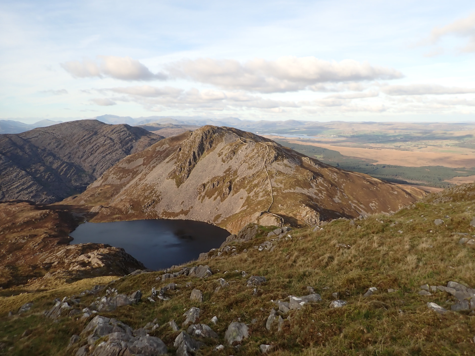
There is a reasonable drop down to Llyn Hywel and climb back up to the summit of Y Llethr.
Picture – Llyn Hywel
4m QSOs were first in the log for Y Llethr with GD7RNX/P again from the Isle of Man, followed by G4BLH/M and GW1OFA, one of my regular multi-band chasers.
There was just one summit to summit with M0JLA/P on Rhuardean Hill G/WB-021 on 40m.
The final tally on Y Lethr was 15 QSOs: 3 on 4m, 4 on 2m, 3 on 70cm and 5 on 40m SSB, including two POTA contacts and a Jamboree station GB4JOTA based at USAAF Ramsbury.
The route from Y Llethr was back down to Llyn Hywel, round the western side of Rhinog Fach and a return to the car via Bwlch Drws-Ardudwy and the forest road.
This took longer than expected and it was starting to go dark long before planned. To make matters worse I dropped one of my HTs which was clipped onto my rucksack harness. I backtracked for about an hour but could not find it (one Alinco DJ VX-50 now waiting to be found), so had to exit the mountain terrain in serious darkness on a rough and sometimes very boggy path.
This was a good lesson/reminder that it pays to always be ready with adequate torches and backups, especially now with the shorter days. Thankfully I had packed head and hand flashlights, with the necessary strong flood and beam capabilities required in the hills.
On the plus side, the sky was free of any light-pollution and the views of the Milky Way on the long and slow walk back to the car were stunning, but no sign of the Northern Lights.
Day 2
(c) 2026 Ordnance Survey
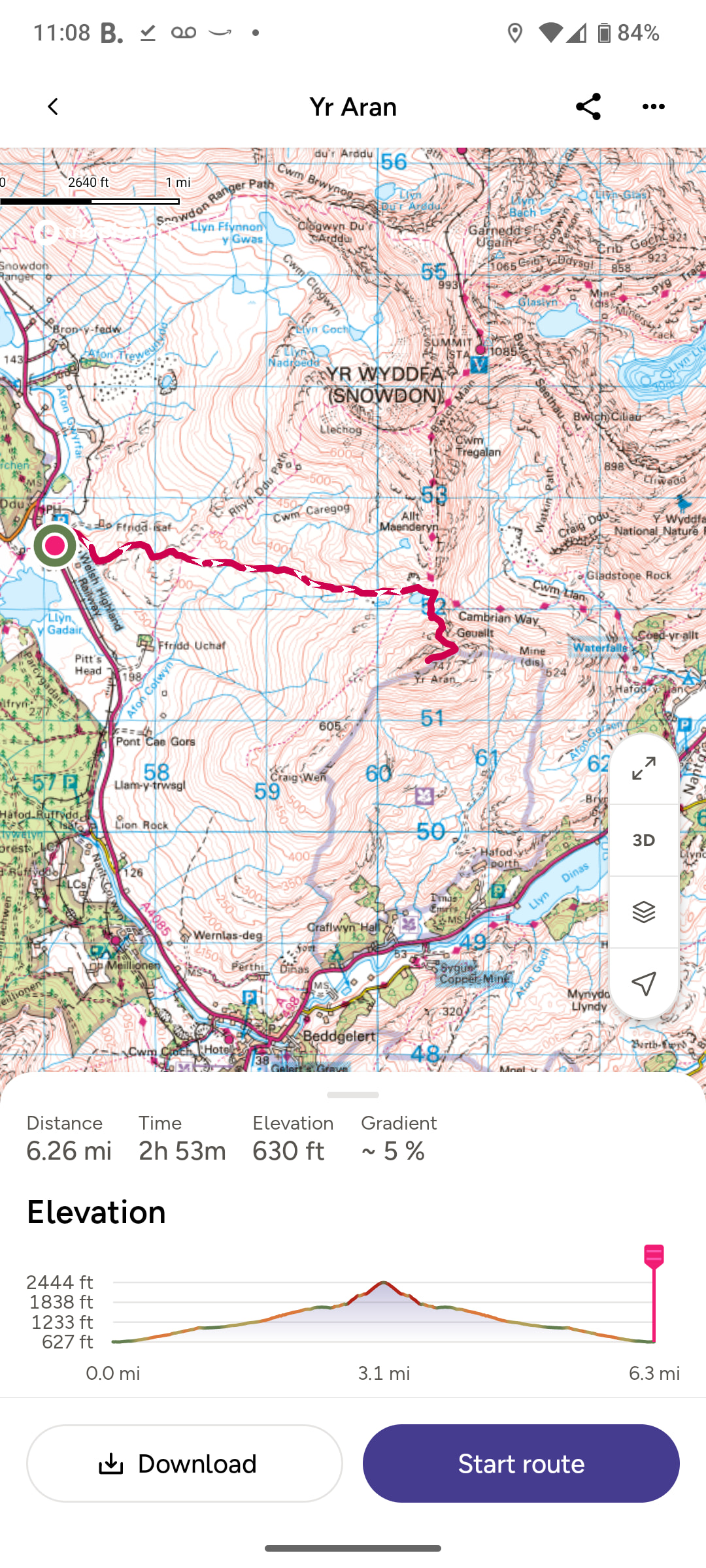
The plan for the second day was to do just one summit, another new summit for me - Yr Aran GW/NW-019, just below the South Ridge of Yr Wyddfa/Snowdon – followed by the long drive home in time for family dinner.
The route begins in Rhyd-Ddu, the start of several other walks, including the Rhyd-Ddu and South Ridge routes up Yr Wyddfa/Snowdon.
The first part of the walk was up a very good track to Bwlch Cwm Llan - the pass between Yr Aran and Yr Wyddfa/Snowdon - through some amazing old quarries.
The National Park is riddled with old quarries, mines and related road and rail infrastructure. Many of these are in extremely inaccessible areas, a testament to the remarkable skills of earlier generations.
Picture – old quarries
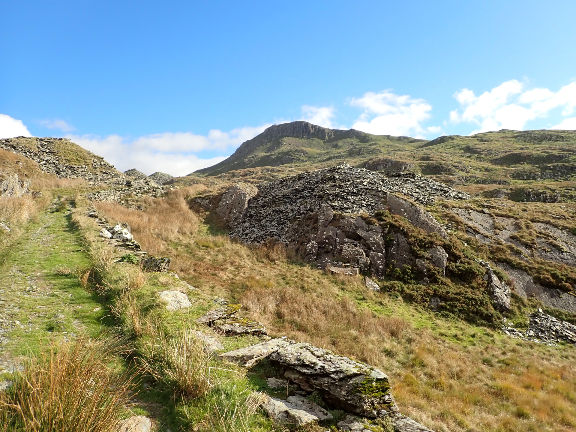
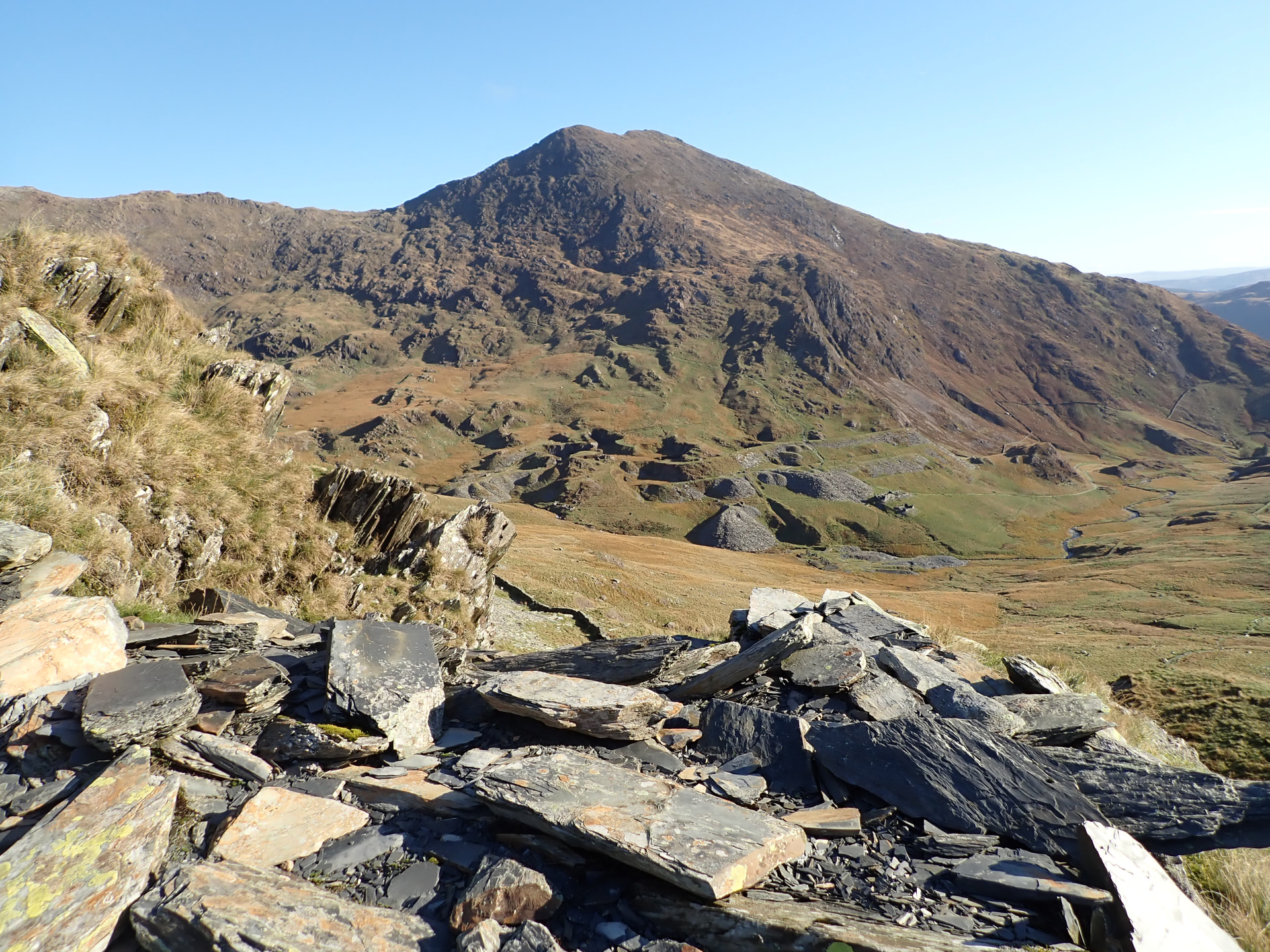
The final climb up to the summit of Yr Aran broadly follows a wall and is manageable – steep but not too challenging. This, coupled with the interesting walk to the foot of the climb and the panoramic views (on good days at least) of Yr Wyddfa and other summits, make this a lovely walk.
Picture - Y Lliwedd from Yr Aran
The final tally on Yr Aran was 9 QSOs: 1 on 4m, 5 on 2m and 3 on 70cm. This included just one summit to summit with GW5JFJ on Gyrn Ddu GW/NW-050.
Thanks all chasers!