As those who know me are aware my spare time has been pretty-much taken up with the ontheair.nz website of late, dragging it swearing and crying (that was me) through 16 years of OS, version and dependency updates. So to keep my sanity a wee 3-day jaunt round the Eyres before the winter bonus season ended seemed a wise idea.
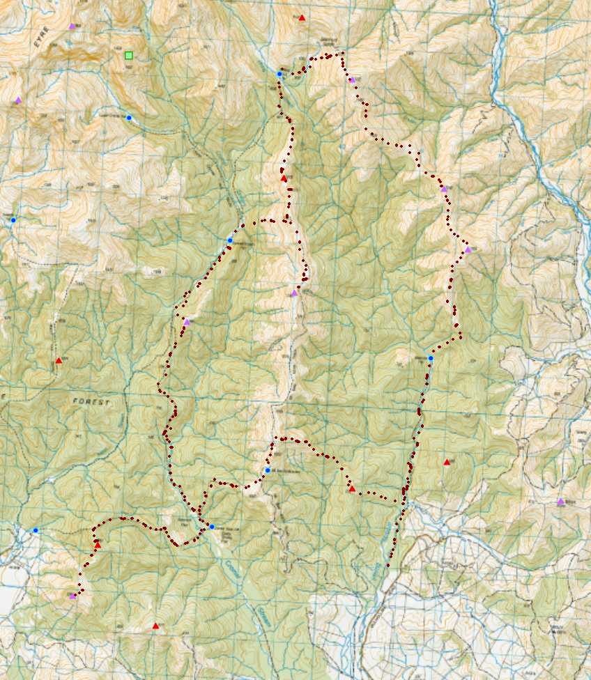
This was the country I’d hoped to look down on during my alpine jaunt through the same range, earlier this year. Two north-south running valleys separating three lowish ranges that eventually rise west and north to join the backbone of the Eyres. Backcountry huts spaced conveniently at 3-4 hour intervals, and - a first for me and SOTA - tracks to follow. Now, the tracks don’t actually pass over any of the SOTA summits, but merely being able to follow a track to a SOTA peak is a rare luxury in ZL3/4.
| Class | Count |
|---|---|
| Total ZL3 Summits | 4015 |
| With roads in AZ | 12 |
| With tracks in AZ | 45 |
| Some stat’s just for curiosity’s sake |
Access into the Eyres has eroded slowly over the last 30 years, with many customary access routes now barred either by new owners or in response to abuse. Only two legally-guaranteed routes remain from the east - the Mataura valley and Irthing Creek, and the country we were aiming for lies north and west of the latter.
Wednesday was forecast for rain, with three more-or-less clear days to follow. So Wednesday night saw me in the comforts of cabin 1 at the Lumsden campground: ‘the key’s in the door, leave your $30 in the honesty box’. Thursday dawned bright but windy, and so the call was made for a clockwise circuit, leaving the long, exposed tops day for the last clear, still day.
The use of the 4WD Mt Bee access road requires 2-weeks notice to be given, so we park up instead at the Irthing picnic area and follow the marked track 2km upriver through mature beech forest. Farmed clearings on the western bank eventually end and we cross the river and pick up the first spur on public land as it climbs steadily towards the Mt Bee Ridge 1000m above, stopping to activate an un-named HEMA outlier [ZL3/HSL-066] on the way.
We break the bushedge 300m below the ridgeline, and bash our way through the remaining turpentine scrub to the tops to pick up the 4wd track and follow it back 1km south to Mt Bee Bunkrooms, our first public hut of the trip.

Mt Bee is a lovely spot on a nice day, with views SE over the Waimea Plains, and north to the main range of the Eyre Mountains. It’s also at 1200m and whilst the kitchen boasts a pot-belly stove, the bunkrooms are notoriously cold. Some joker has installed an outside bath (rainwater-fed) since my last visit.
Setting the radio up on the kitchen table, the hut provides a welcome shelter form the wind for an early lunch and leisurely activation. Skip has shortened dramatically since the morning HEMA activation, and we net just 3 in the log on 40m, all within 500km.
Leaving Mt Bee Bunkrooms, we drop SW on a poled route to the bushedge and follow the marked track down to Cromel Base Hut 1000m below - our base for the night - where overnight gear is unloaded and a lighter pack readied for the afternoon’s activations.
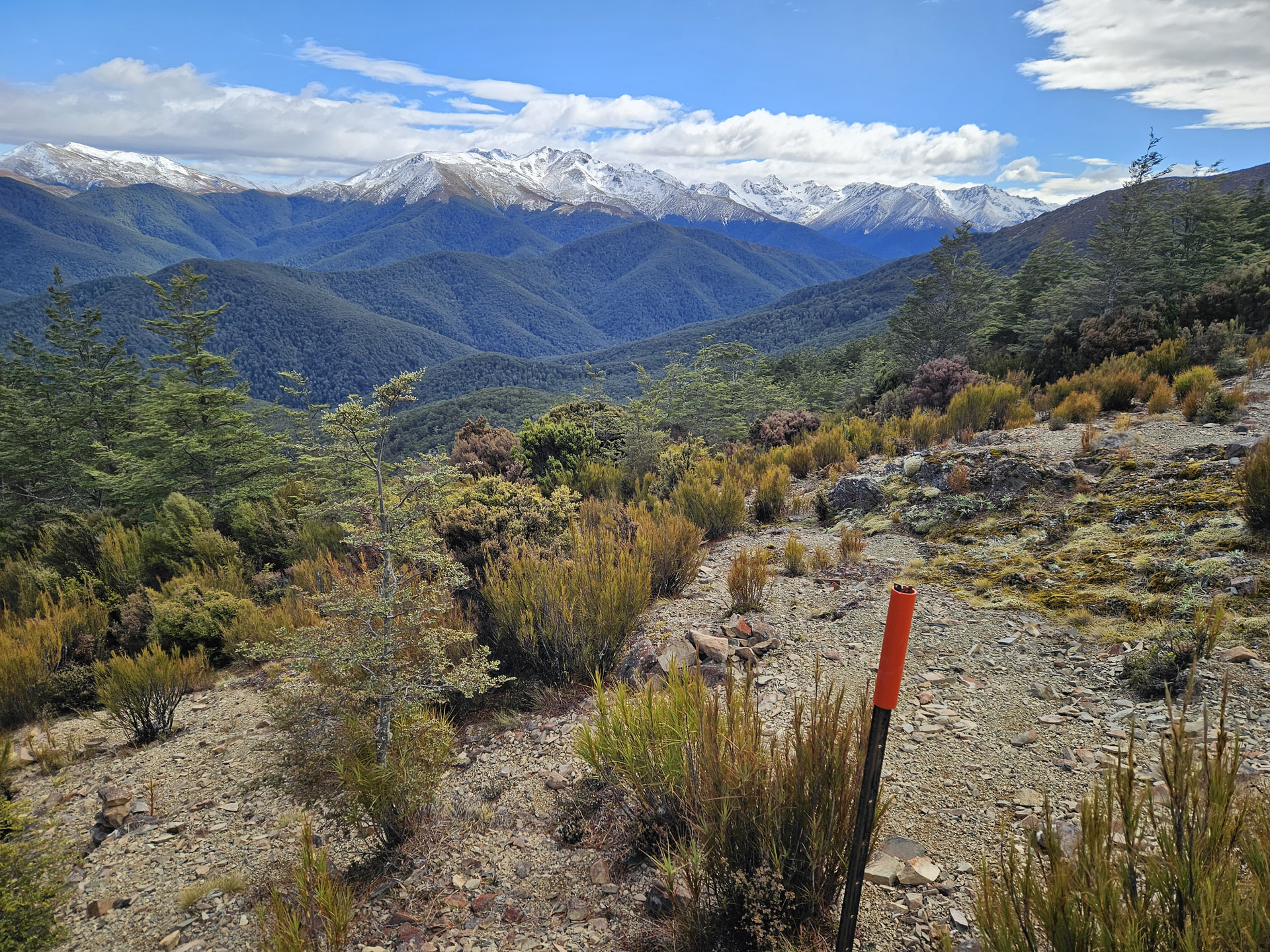
Dropping into Cromel Stream. Helen Peaks o the main range beyond
Thursday afternoon sees us on an easy side-trip west to an unnamed SOTA summit [ZL3/SL-187] on the southern park boundary. Sim’s new dog wimps out halfway over the Cromel Stream and claws her way onto a tree trunk, rather then continuing her swim to the far side. My much-treasured dry feet are discarded retrieving her and carrying her to the far bank. I decide to carry her for the remaining crossings! SL3/ZL-187 lies about 2.5km south along the untracked ridgeline from the saddle on the track, but going is easy on good game trails through first open bush and then tussock tops. A crescent of bush gives ample shelter from the still-strong wind and I make a leisurely half-hour activation whilst the dog investigates the local wild piglet population. Sadly I left my knife behind, so there will be no pork for dinner.
A more respectable 13 in the log (14 heard) between 40m and 20m, including 5 VKs and a WWFF park-to-park.
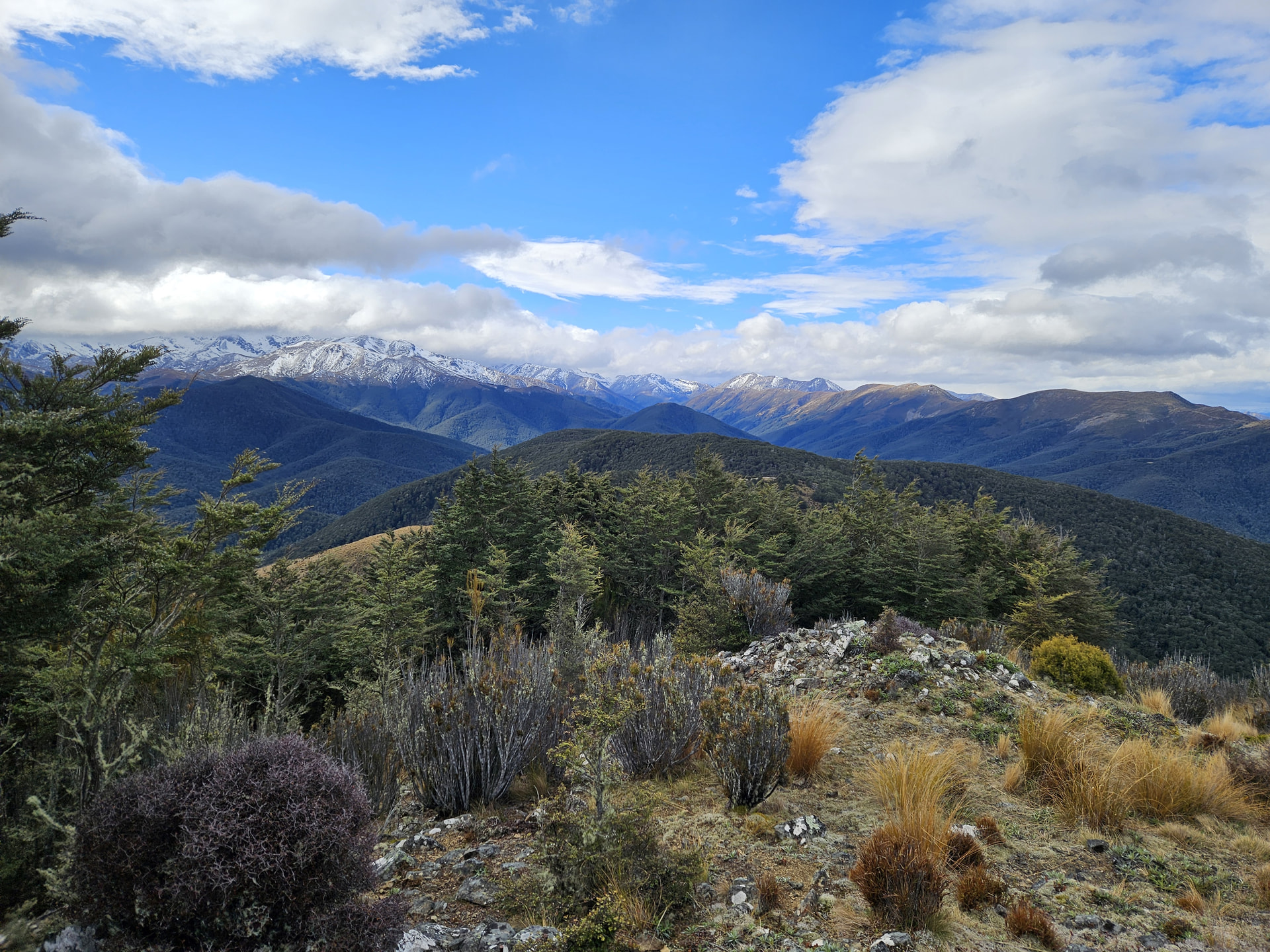
ZL3/SL-187
We’re both pretty tired by the time we head the 6km back to the hut, but I do manage a 40m activation of ZL3/HSL-055 on the way whilst the dog catches up on sleep.
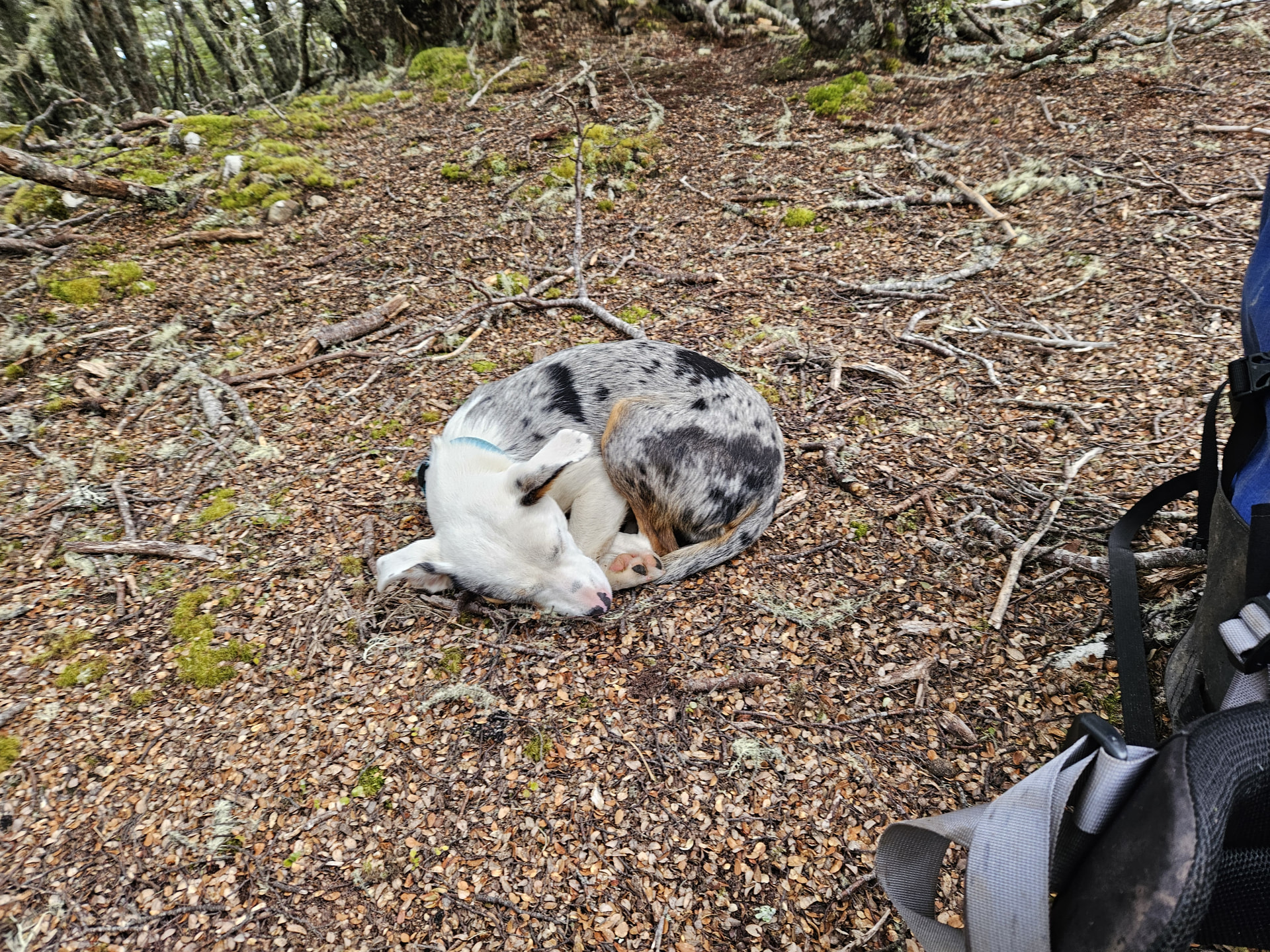
ZL3/HSL-055
A tune around the bands from Cromel Hut nets a chase of a ZL4KD at a ZLOTA/LLOTA lake and @VK1AD on his regular Mt Stromlo. 20m is open to EU with good greyline conditions and chasers reporting LP contacts, despite Comel Hut being tucked hard up against the SE valleyside and the take-off LP being very poor. We get Finland, Poland, France, Ukraine, and Italy in the log, along with a scattering of VKs as dinner cooks, including a P2P with VK3PF. 7w into a 40m EFHW 6m above the ground at apex, on a low valley floor tucked hard against a hillside. 20m greyline is so good when it’s there!
| Callsign: | ZL4NVW | Date: | 2026-09-24 | QRP | Yes |
|---|---|---|---|---|---|
| Timezone: | Pacific/Auckland | Power: | 7w | Portable? | Yes |
| Time | Callsign | Mode | Freq | Name | Location | RST Sent | RST Rec’d |
|---|---|---|---|---|---|---|---|
| 17:00 | ZL4KD | SSB | 7.090 | [ZLL/0389] Lake Kaniere [LLNZ-0389] Lake Kaniere [NZ-0149] Lake Kaniere Scenic Reserve [ZLP/WC-0034] Lake Kaniere Scenic Reserve [ZLFF-0038] Lake Kaniere Scenic Reserve | 59 | 59 | |
| 17:01 | ZL1KLF | SSB | 7.090 | 55 | 59 | ||
| 17:02 | ZL3OY | SSB | 7.090 | 59 | 58 | ||
| 18:02 | VK1AD | SSB | 14.320 | [VK1/AC-043] Mt Stromlo | 55 | 55 | |
| 18:05 | OH1MM | SSB | 14.315 | 57 | 53 | ||
| 18:12 | VK3PF | SSB | 14.315 | [VKFF-0745] Cape Liptrap Coastal Park [AU-0468] Cape Liptrap Coastal Park | 53 | 53 | |
| 18:20 | SP9CWO | SSB | 14.315 | 41 | 55 | ||
| 18:23 | VK9POL | SSB | 14.315 | 58 | 53 | ||
| 18:29 | F5PYI | SSB | 14.315 | 52 | 51 | ||
| 18:30 | UT5PI | SSB | 14.315 | 41 | 52 | ||
| 18:35 | I4RHP | SSB | 14.315 | 51 | 51 | ||
| 18:38 | VK3WSM | SSB | 14.315 | 53 | 33 |
Day 2
It’s still raining when I wake on Friday morning, and I dally over a 2nd cup of coffee before finally making it out of the door. Six kilometers along a rough tramping track (another wet-footed river crossing, dog tucked under-arm - we’re getting good at this!) takes us to the saddle south of ZL3/SL-184 from where good deer trails lead north along the ridgeline to the bushedge. The final 100m to the summit is thick and scrubby, before we finally break out onto bare clay-pan and rock.
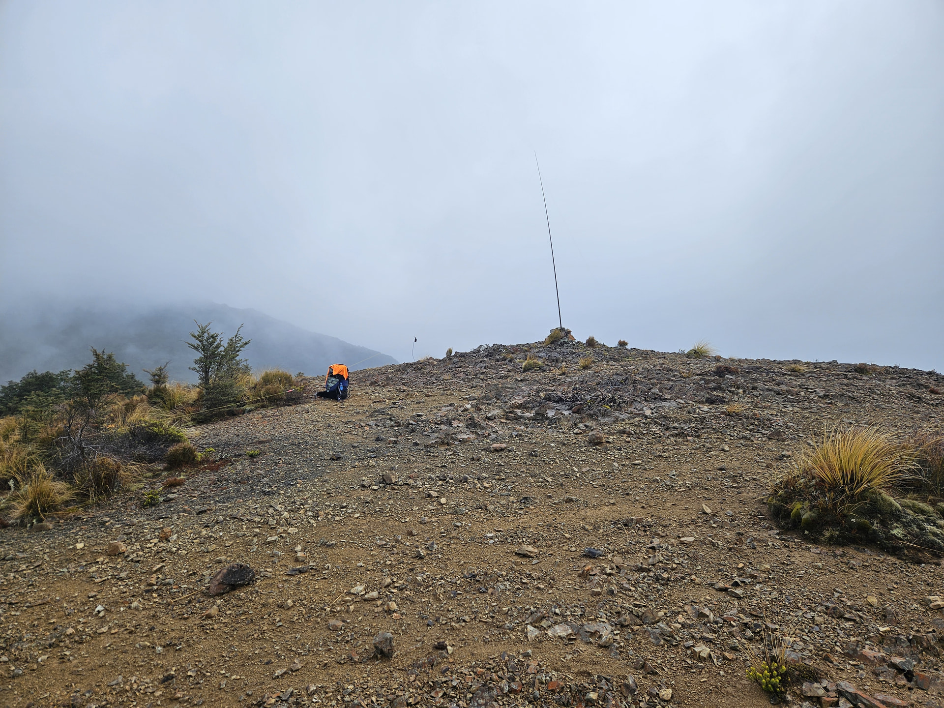
SL3/SL-184
Band conditions are tricky. 40m nets nothing beyond Christchurch 500km away, and so I hook up to the 30m/60m feed point and pick up a few north Island stations on 30m SSB. 11 in the log all up, but hard earned with the average report being around 43.
Dropping west we soon pick up the track at the saddle of Cromel Branch and Acton Stream, and follow it to Cromel Branch Hut for an early lunch. These 10km-spaced huts are a luxury I could get used to!
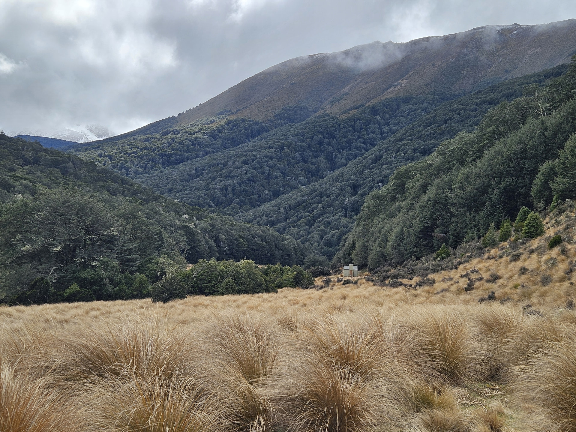
Cromel Branch, Mt Bee Ridge to the right
After another leisurely activation and a warm lunch, we leave the sand-flies well-fed and climb east back onto Mt Bee Range to activate it’s two northern summits. Travel up the spur east of the hut proves good as far as the bushline, where man-eating turpentine scrub awaits for the final 300m to the summit.
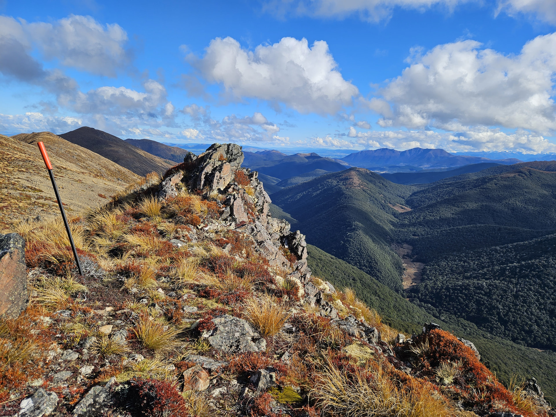
Mt Bee Range (left) with Cromel Branch below - the hut is in the first clearing
Drizzle continues on-and-off as we activate the 4-point ZL3/SL-112, so it remains a short, 40m-only job with just 7 in the log, before we return back north along the range. Another HEMA summit makes for the final activation of the day - finally under blue skies and sunshine - before dropping back into Irthing Stream to the cozy comforts of the 2-bunk Irthing Hut.
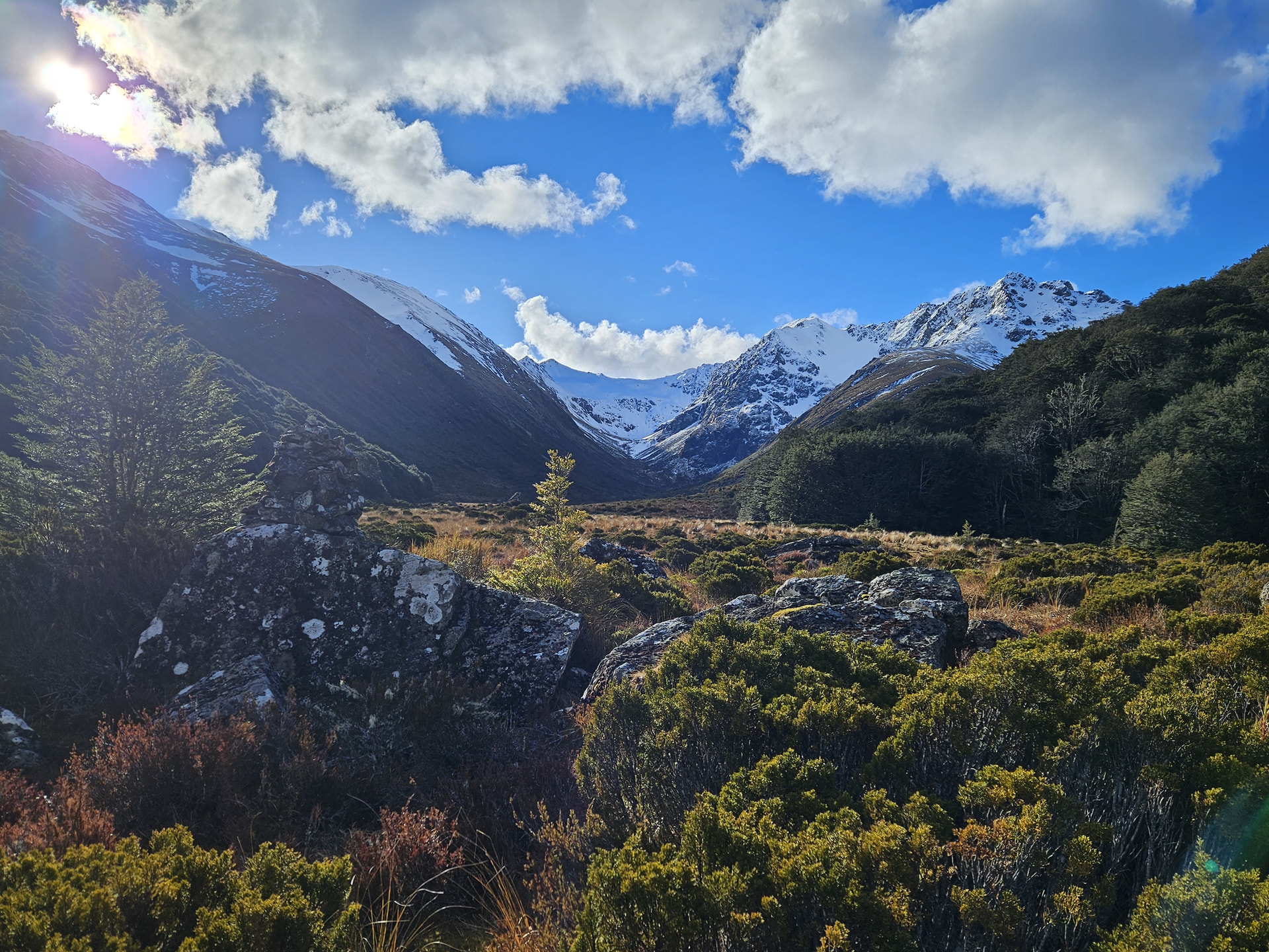
Views up to Helen Peaks from Irthing Hut
Day 3
Strong winds return overnight, rattling the hut and causing the oh-so-familiar booming as the flat metal cladding of the open-fireplace chimney flexes from concave to convex with each gust. Little sleep is had.
We abandon the hoped-for activation of ZL3/HSL-012 (Shepherd Saddle North) and climb instead directly to the saddle before turning south-east to the 6-point SOTA peak ZL3/SL-029. It’s blowing a bustard on the summit - I’m clinging to rocks, and the dog is literally walking sideways so as to keep her nose into the wind and avoid being blown over! We thankfully find a snow-filled scoop just SSE of the top where the wind booms and eddies above us but leaves us in relative calm. The EFHW is strung low, ends anchored by rocks and mid-point only 4 pole-segments high - the most I dare risk in the conditions. Microphone tucked inside my coat, I call CQ and find band conditions again finicky. 40m closed completely to the South Island and far North, but viable to a narrow band between Nelson and Wellington, from which we scrape 8 chasers. I only have to re-erect the antenna twice!
Thankfully winds drop as we pack up and head south, even allowing for a brief snack and photo of the morning’s summit.
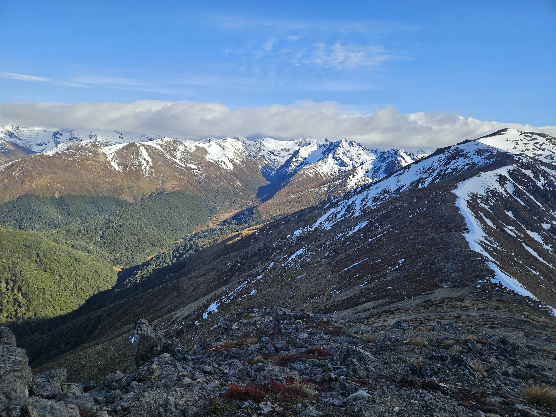
The six-point SL3/SL-112, Helen Peaks [ZL3/SL-006] beyond
Two 4-point SOTA summits lie further south along the range, easy walking along the principle access route to Irthing Hut. But the local band police jumped on me last time I alerted to activate these peaks on free-hold land*, so I let them lie and make the long trip south along the range uninterrupted by radio.
*There is not actually any legal requirement for permission to access freehold land in New Zealand, or to operate an amateur radio station on it. But that’s another conversation.
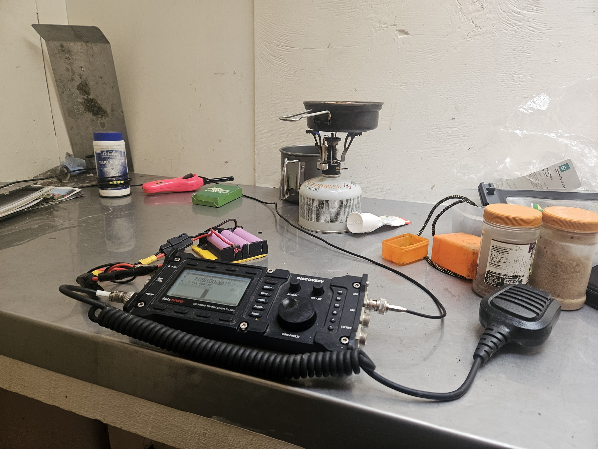
We drop to the tiny 2-bunk Mansion Hut for a final hut-on-the-air. The one frequent issue I have with the TX500 is that of RF in through the mic cable. An air-wound choke is generally enough to stop this - and you take your winding cores as you find them!
For the first time in her so-far-short life, I think Sim’s toy dog is actually tired!


 for the in-situ butter knife repair! That’s more points towards your McGuyver Badge.


 Looking at the bench here, I think with the best will in the world, I have enough solder to outlast me now!