GM/ES-049 Ladylea Hill

7 minute film, with aerial footage
Friday 18th February 2022
A massive dump of snow over Aberdeenshire. The avalanche forecast for Saturday was severe, but it was to be a fine crisp day with blue skies.
Saturday 19th February
A hastily re-aligned schedule and I suddenly found myself with a day off! Due to the aforementioned avalanche risk and the fact that the snow gates were closed on all three roads leading out of Deeside, I decided to stay local and climb something smaller and safer, hence Ladylea Hill - the subject of a recent climb by me, where I got slightly lost…
Ladylea Hill GM/ES-049 in winter
The short drive over to Strathdon and then Glen Buchet was straightforward, if slow, due to the snowy roads. The Land Rover had fun getting into the parking space thanks to snowplough debris. I made sure I drove round a few times, just to make sure I’d get out again.
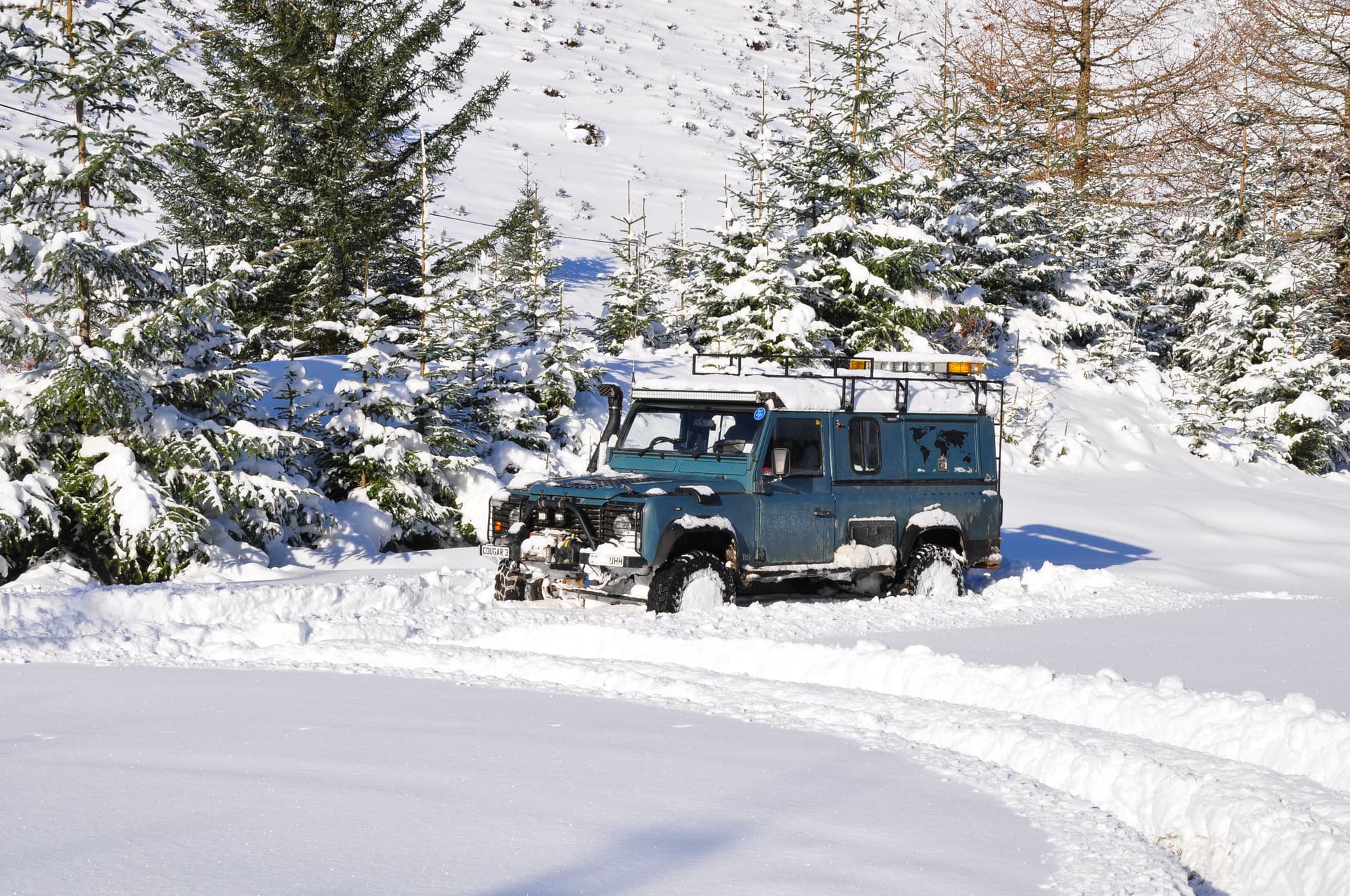
Car park at Glen Buchat for Ladylea Hill
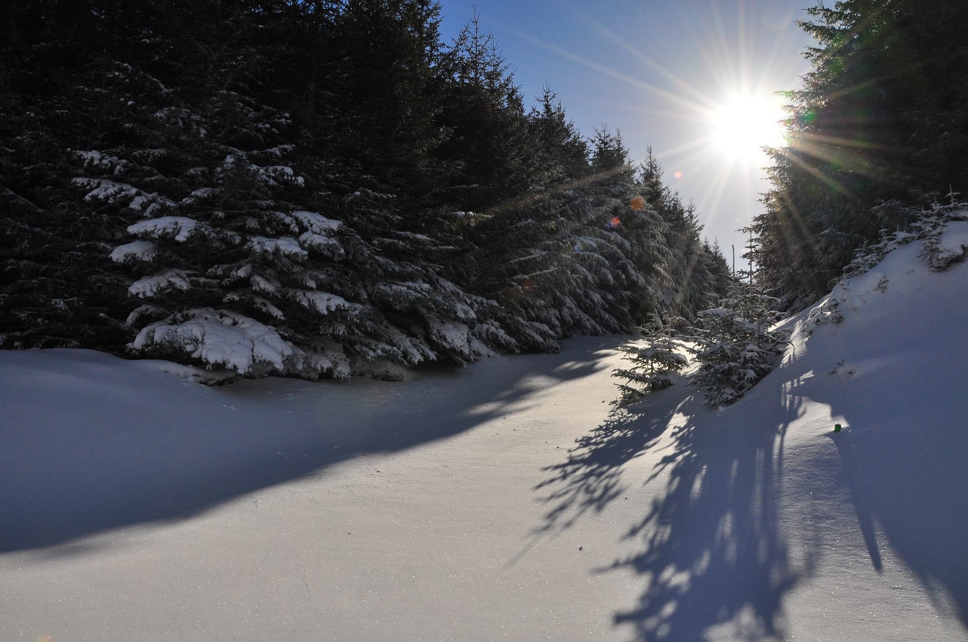
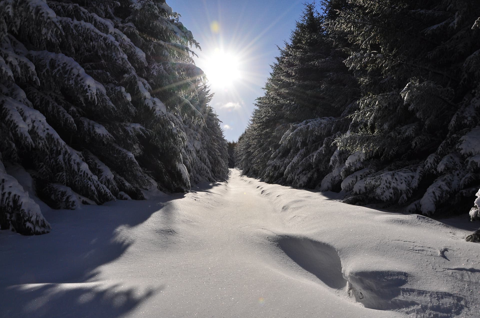
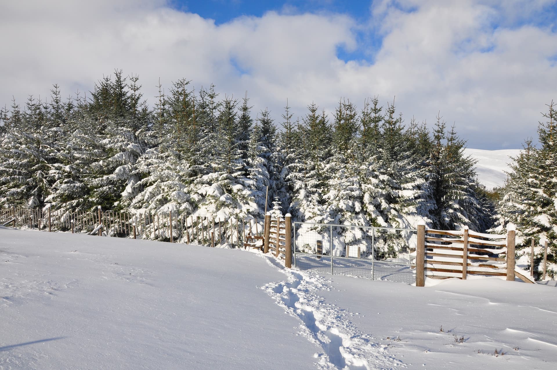
I jumped out straight into 18"(45cm) of powder, strapped on the snow shoes and set of up the 1.4m (2.3km) hike. This was initially up a Land Rover track through the forest plantation and eventually across new plantings and finally open slopes.
It took around 1 hour 40 minutes due to the snow and also the fact that I was carrying my usual pack, a drone plus three batteries and my Nikon D90 DSLR. Mercifully, the upper slopes were already wind scoured, making walking much easier.
I somehow climbed the style while wearing snow shoes

Upper slopes of Ladylea Hill
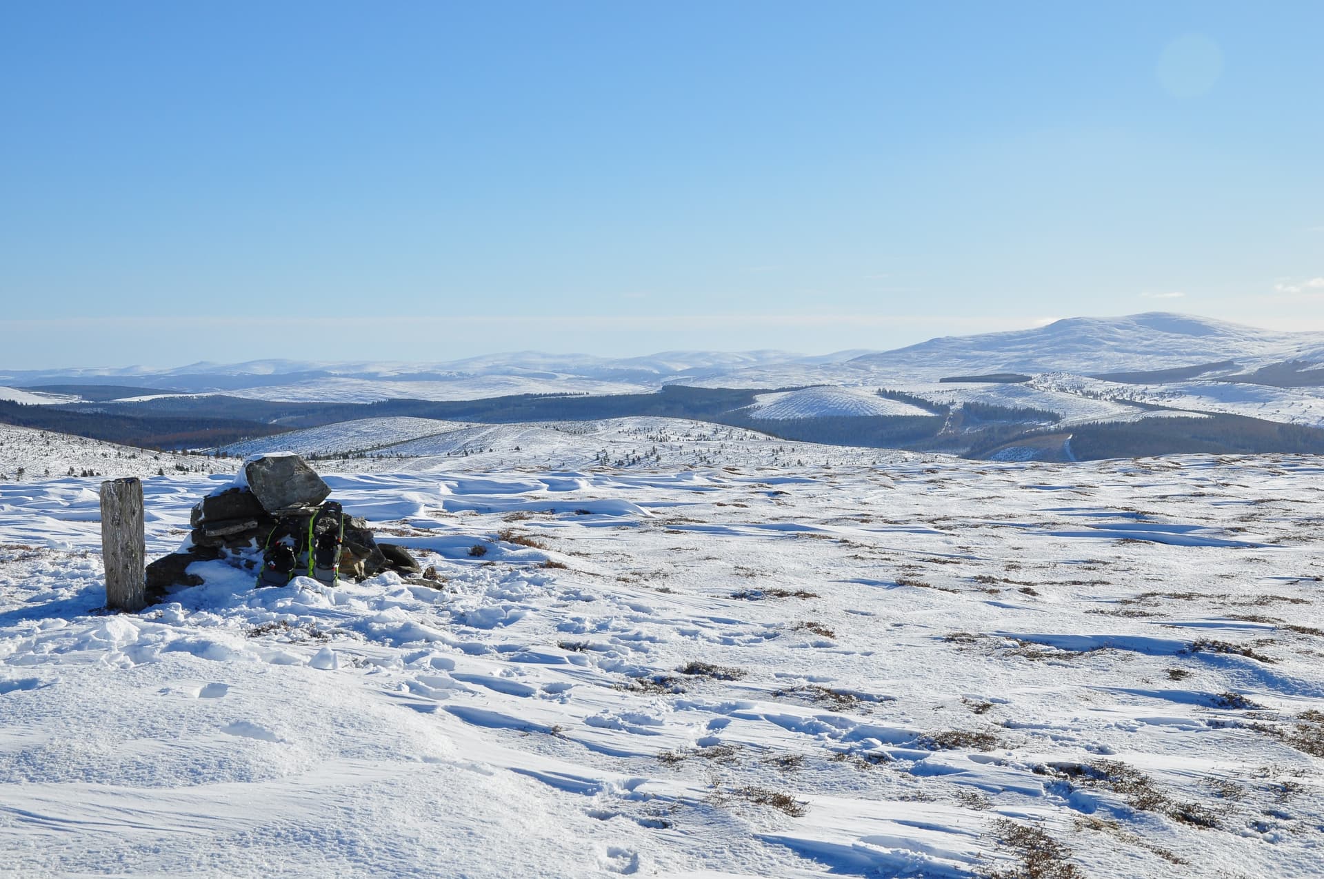
Ladylea Hill Summit, looking S towards Morven GM/ES-018
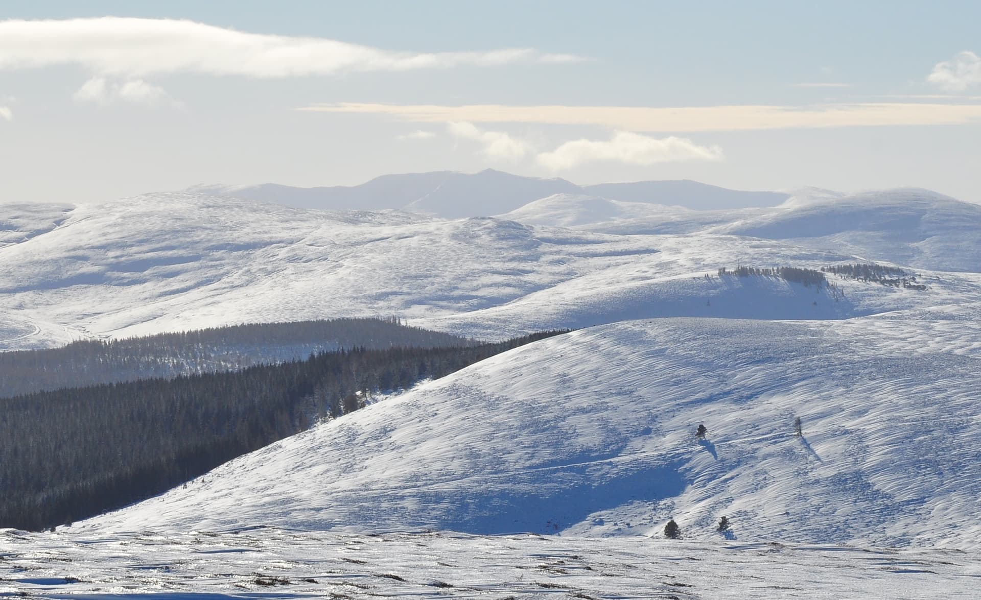
SW to Lochnagar GM/ES-008

West to Ben A’an GM/ES-006, filling most of this image
Activating Ladylea Hill
Thanks to a handy post next to the cairn and my remembering to carry some bungee cords (a product of the Devils hand), it made sense to use my linked 40/20m inverted V, with the 7m mast strapped to the post.
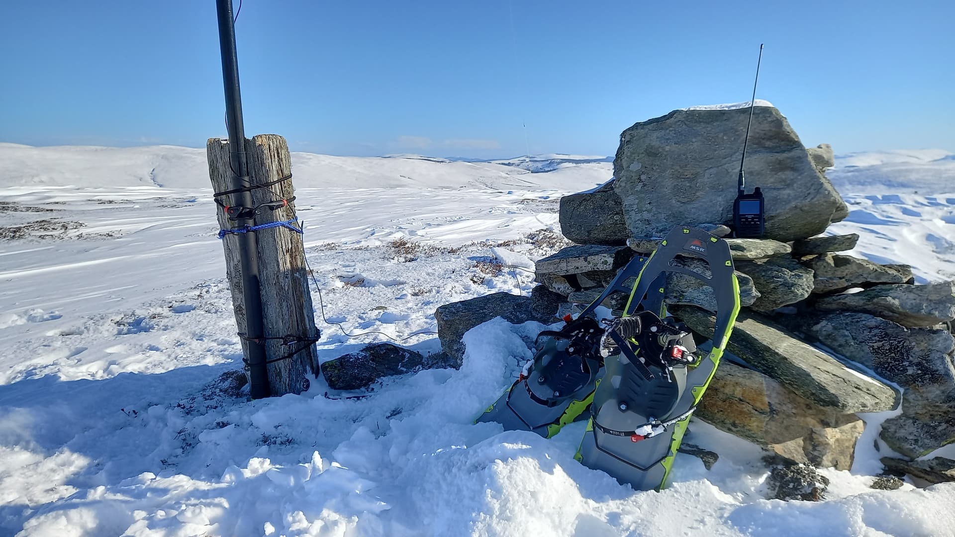
Set up - I operated from the other side
1200z saw me on the air, pushing 10 watts of lovely SSB out of the KX2 on 14MHz. I chose 20m due to some non-scientific feelings about sunspots, K-index and mainly wanting to avoid a weekend stress-out on 40m.
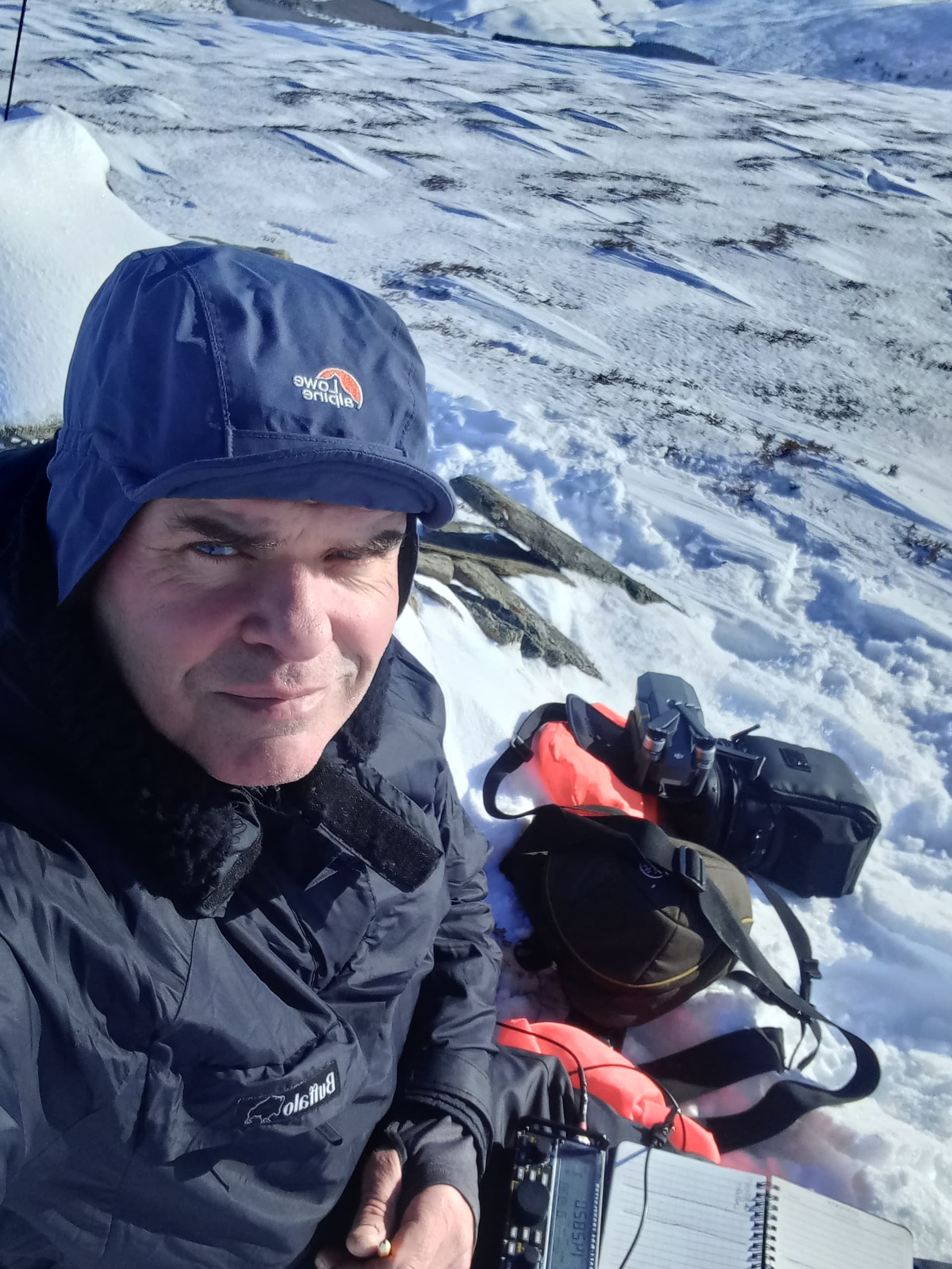
Me, the radio, the camera bag, the drone bag…
I had a great time for around 20 minutes, working 17 stations in 8 countries, with ODX being NX4TT in Florida, 4150m (6680km).Then someone started talking just off my frequency, so I paused, had a retune and spotted again. I pulled in a further 10 stations.
There was some QSB, but at other times the band was wide open. I got a 5/7 from NX4TT and when I was working HB9CYV on his summit HB-TG-008, I could clearly hear his long path echo, which was novel. (Or so I think, as I’m not an expert in such things.)
I called it a day at 1235, as it was rather cold. Mo had just messaged me to say she was taking a 4 mile walk to a cafe in Tarland and that I could met her there. Better get my skates on…sorry snowshoes.
The snow looked even more delightful in the afternoon sun, plus it was a hell of a lot easier on the way down.

I extracted the Land Rover without any problem and somehow managed to make the drive over to Tarland on time, parking outside the cafe just as Mo was walking in the door! (Brownie Points earned ![]()
![]()
![]() )
)
Addendum
Mo asked if we could go and see some standing stones (Tomnaverie Stone Circle) that she’d seen on Google maps. they were only a mile from the village. It turned into a nice wee outing, just a short walk up a track, and some cracking views. Oh, and it has a nuclear bunker next to it! The stone circle dates to 2500BC, Bronze age.
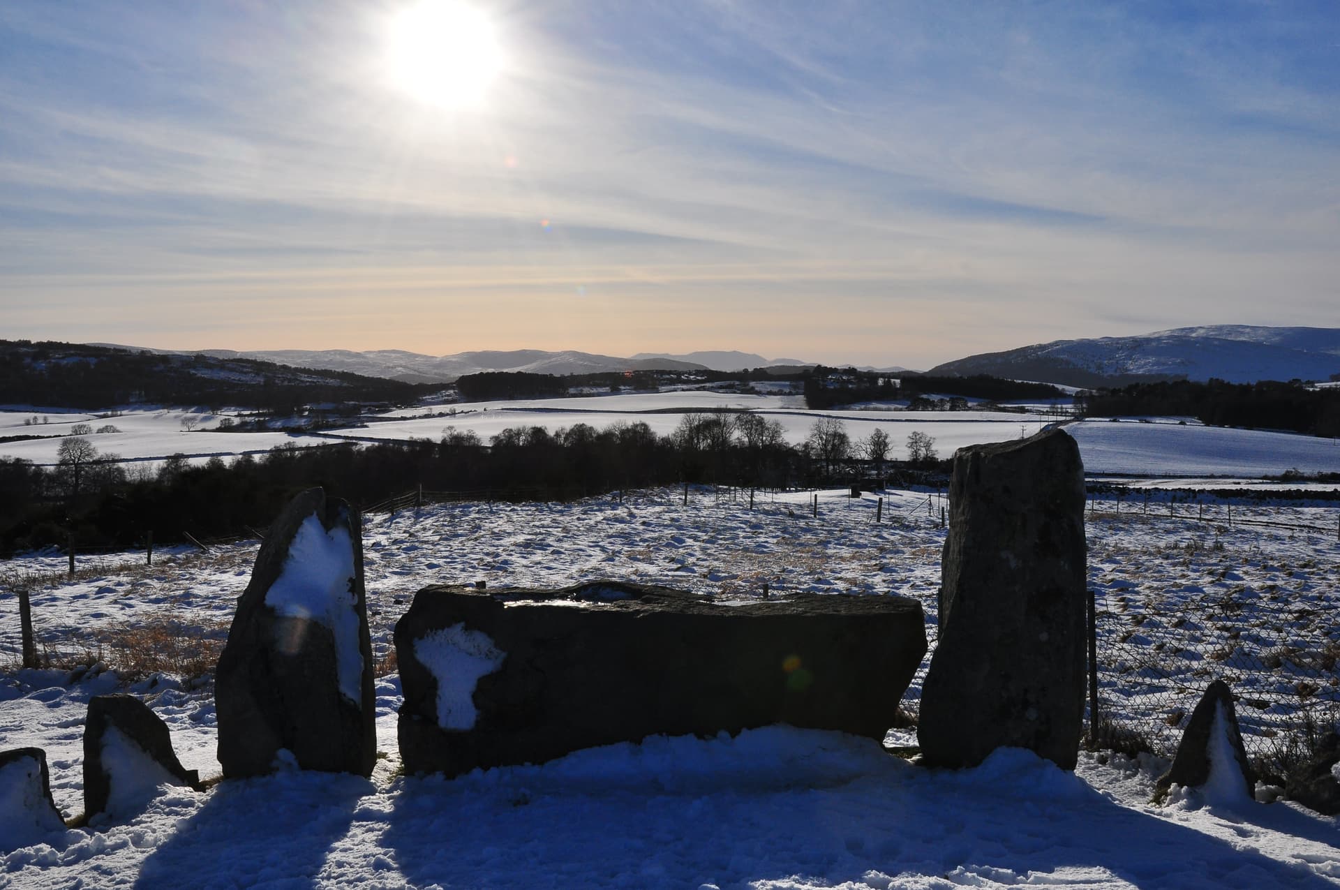
The stones were designed to frame the distant Lochnagar

Tarland
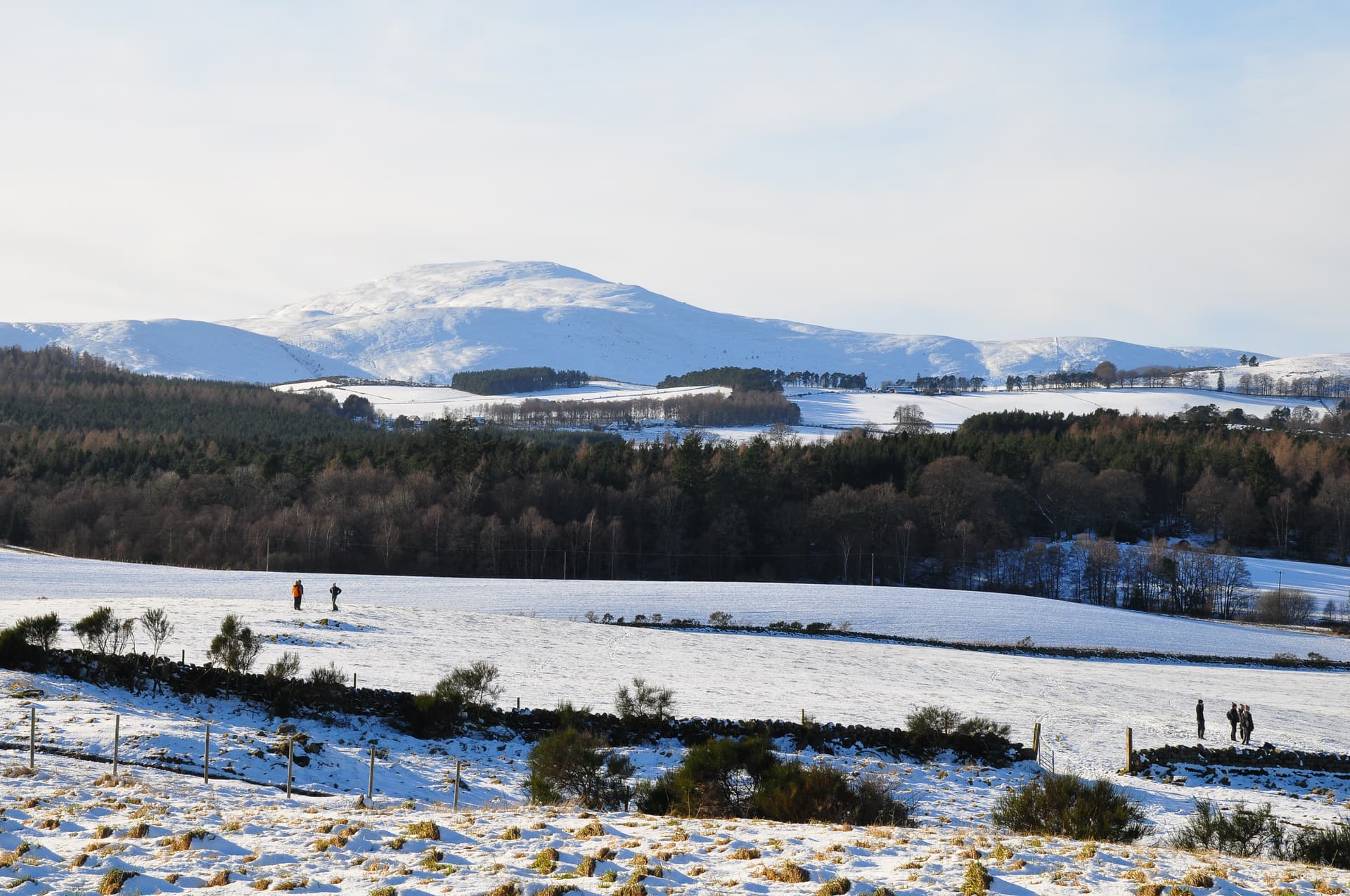
Afternoon sledgers and Morven
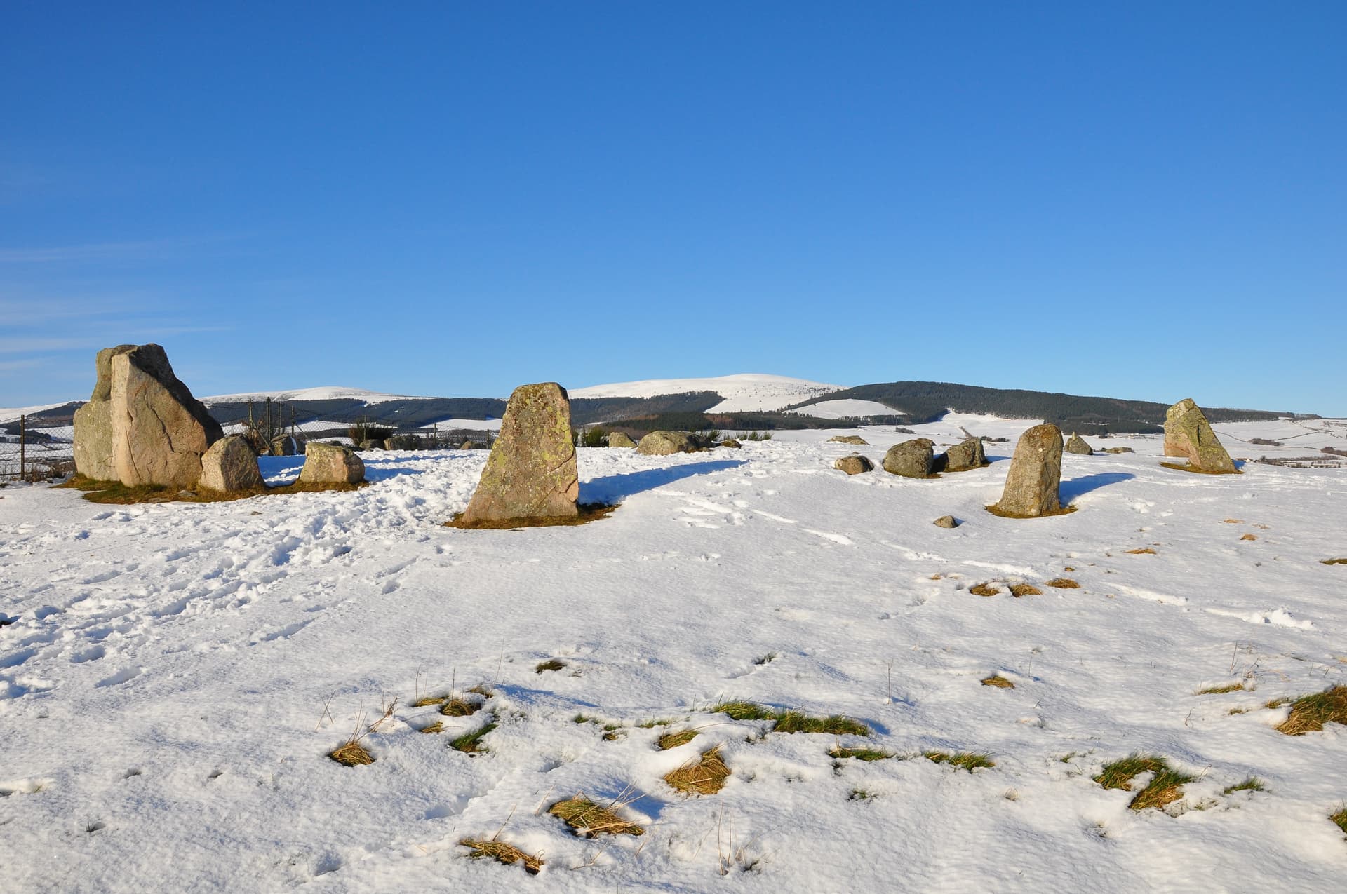
Pressendye GM/ES-047 and the stone circle
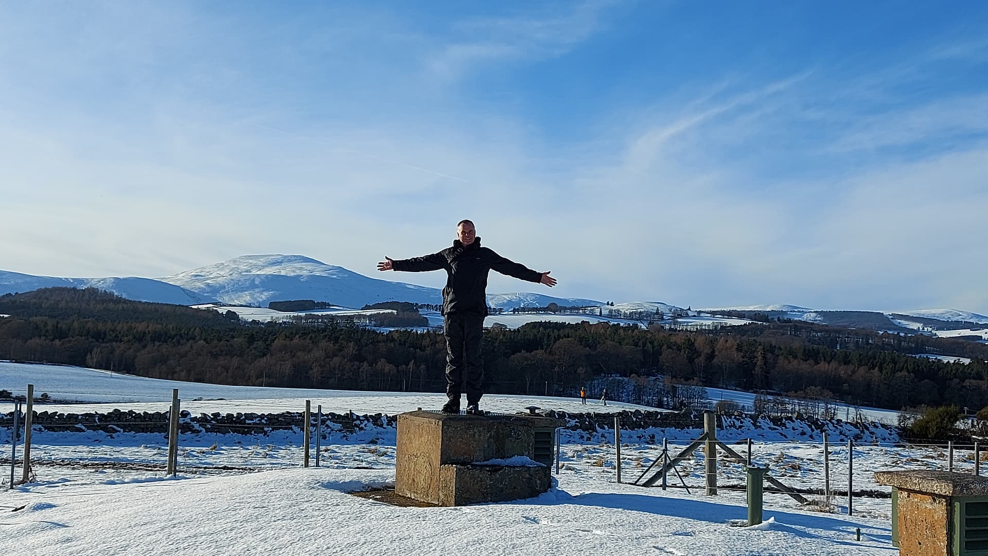
The bunker, me standing on the entrance door
It’s amazing what lies undiscovered on ones own doorstep!
Anyway, a grand day out in all respects. Thanks for reading.
73,
Fraser
 cracking photos and video footage! I’m never close to the radio when your on summit, but will try and get in your log soon! Or maybe even a S2S, I am out this Friday and Saturday in GW land.
 73
73
