
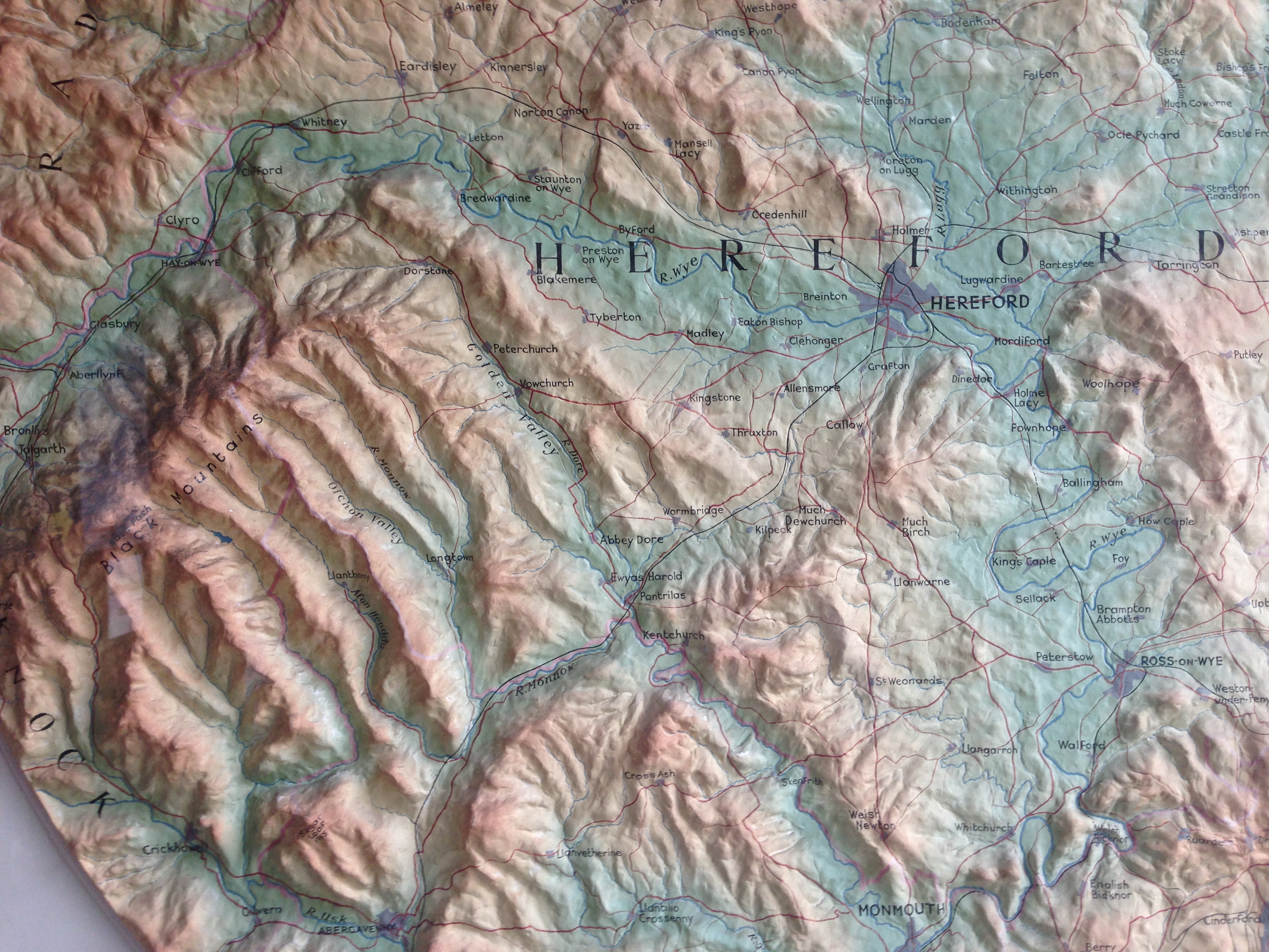
I am fortunate to live in Hereford City where I am in close proximity to a number of SOTA locations. It is good when work permits to communicate with activators local and visiting this beautiful part of the country. Some contacts are line of sight from my QTH including Black Mountain, Waun Fach and the Sugarloaf to name a few!
Visiting Hereford Library as I have done so for over 30 years I have often admired the relief model of the surrounding area and thought you may be interested. It is a remarkable display made possibly of papier mache or plaster encased in a glass case. It is located on the right hand side of the main entrance and if you are visiting you might like to see it. It certainly gives a unique overview and perspective of some of the peaks that many of the SOTA community have activated.
73’s
Ian G4WTF