Hello Kevin,
I’m really sorry I didn’t reply sooner; I hadn’t seen the question.
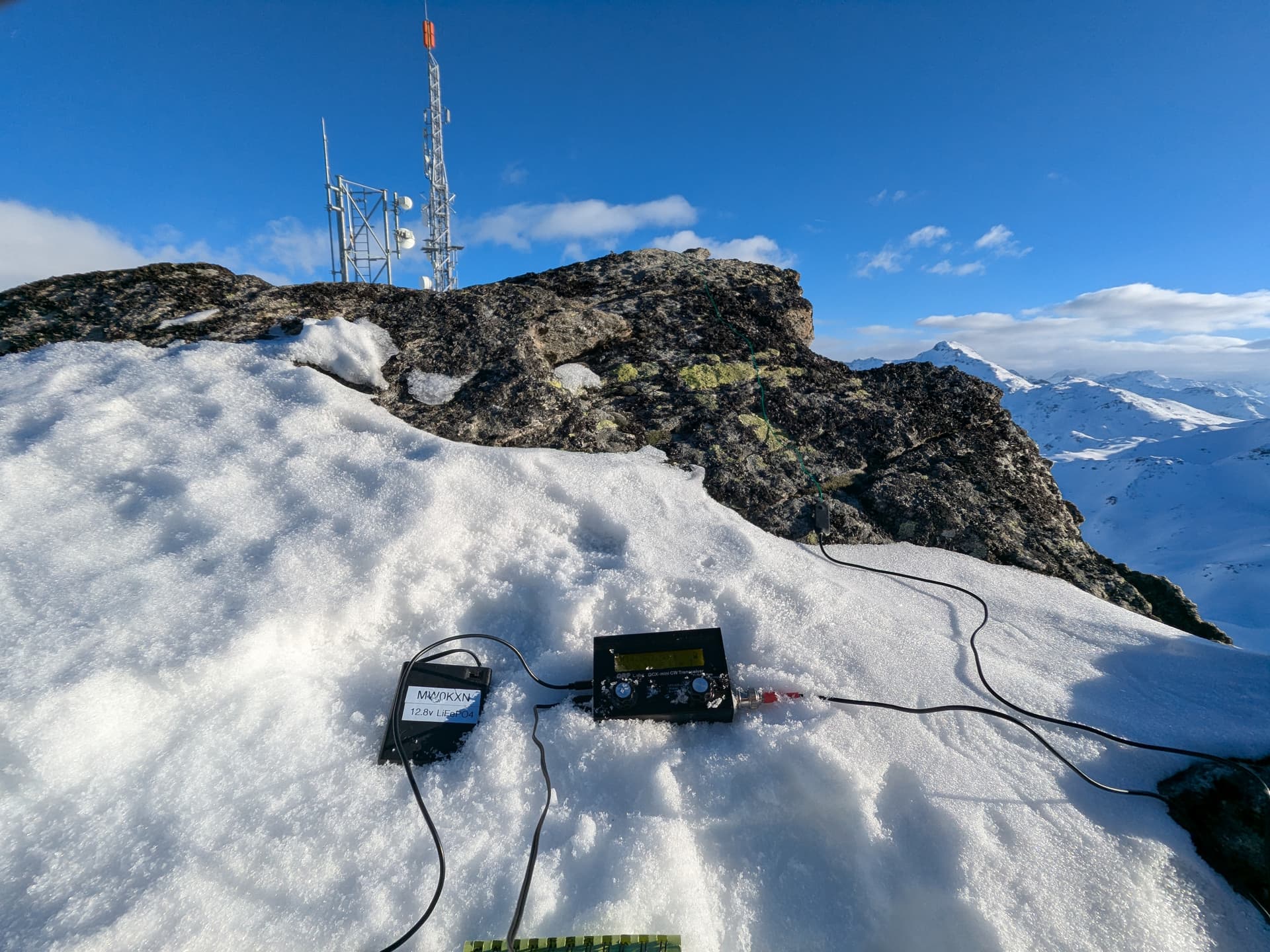
So I went to Pointe de la Masse today to take some topographic measurements and to activate this magnificent summit in both summer and winter.
To answer your question, the official reference for mapping in France is the IGN (National Geographic Institute).
Two things that might help you:
-
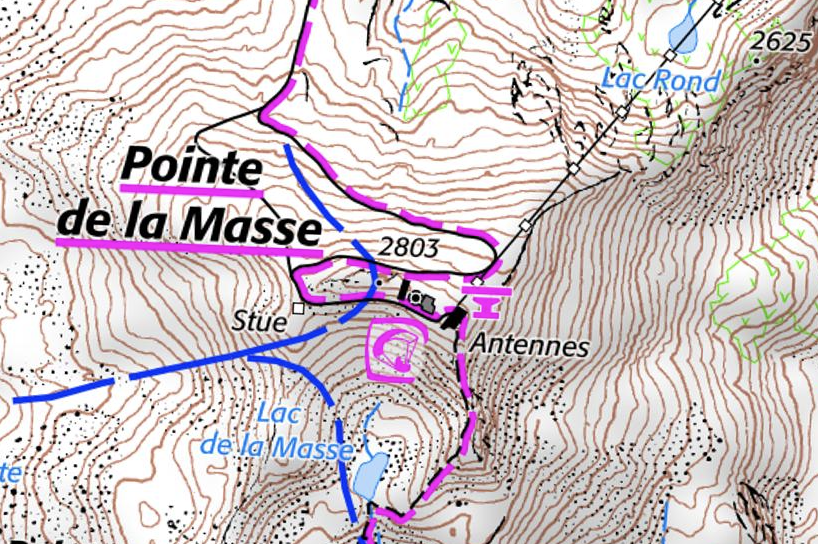
A screenshot of the summit map; the contour lines are equidistant at 10 meters. The slightly thicker contour lines correspond to the 50 and 100 meter levels. Note: the word “Stue” to the left of the summit means “statue” for the wooden sculpture of an ibex (God of SOTA).
-
But above all, the IGN also provides a great website for free: https://www.geoportail.gouv.fr/carte
You will find the IGN map and/or (your choice) the satellite view.
At the top, in the search tab, type: Pointe de la Masse, to go to the desired area. Then, in the tab on the right, click on the wrench, then click on “show coordinates.” You can zoom in.
Now the coordinates and altitude of your pointer are displayed +++
For example, we can see that:
- the ibex statue is at 2771.46m, therefore outside the activation zone. I measured 2772m on site with my watch.
- Indeed, the cable car platform is in the activation zone (and the bar too…).
- By climbing the slope from the west or east (steeper), you’re easily in the activation zone. Be careful, there are many loose and unstable boulders. In winter, if the snow is hard, it’s best to wear crampons to avoid dangerous slips…
I’ll add photos with comments this evening to SOTLAS.
I hope these few points will help you. Sorry again for my late reply.
73, from Bruno, F6HHK