G4YSS: G/NP-026 Kisdon on 2m-FM, 24-10-25
Issue-1 pse rprt errors
For further detail of NP26 see report ‘G4YSS: G/NP-026 Kisdon on HF, 21-10-25’
Activation of KISDON G/NP-026 - 1 pointer (for zero points) using 2m-FM QRO on Friday 24th October 2025 (activated on HF three days prior. see /39400)
All times: BST (UTC plus 1hr, UOS as ‘z’)
EQUIPMENT:
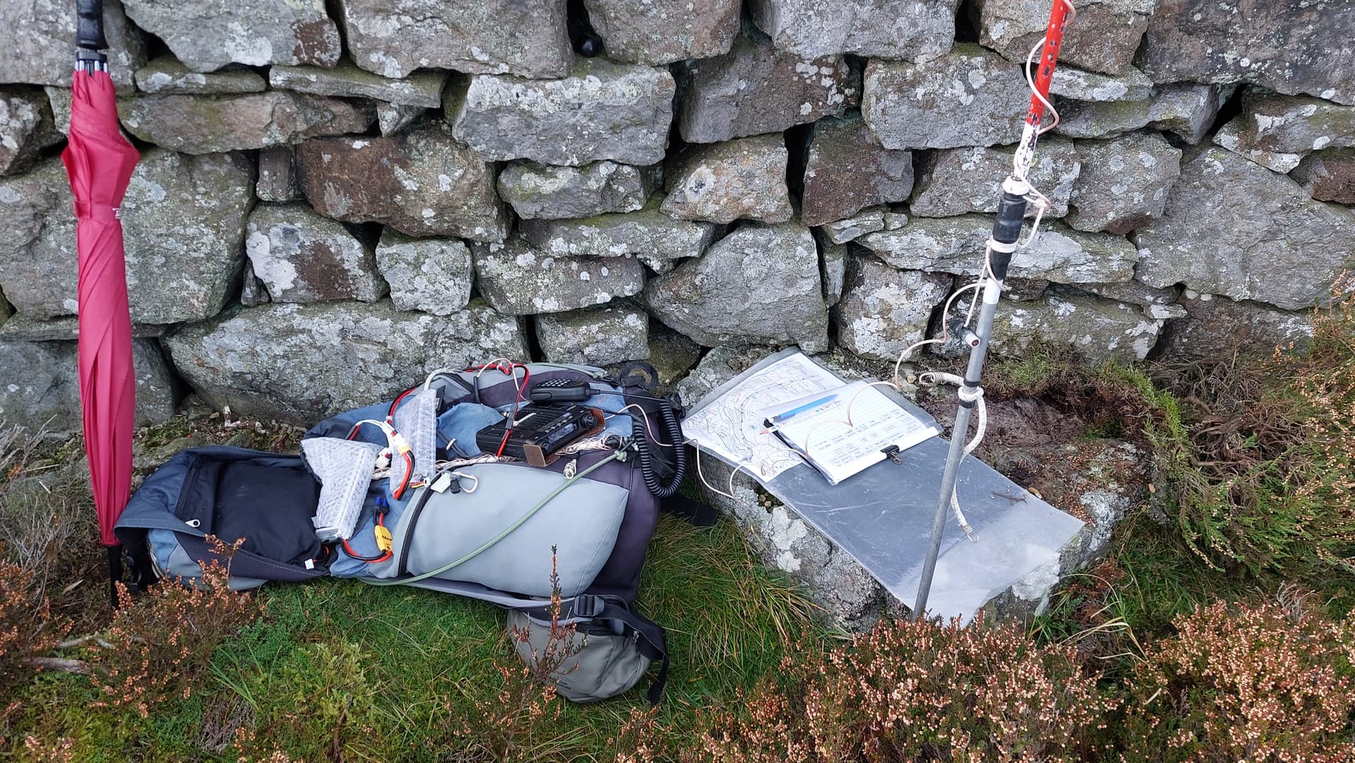
FT1500 2m-FM 50W mobile transceiver borrowed from the car
3m H/B Ali-CFC-PVC mast
HRB 11.1V/ 5 Ah Li-Po (No7) battery (part discharged)
HRB 11.1V/ 5 Ah Li-Po (No9) spare – not used
UV-5R H/H. 2-Band, 5W-FM (with filter) & J-Pole for 2m FM – not used
UV-3R H/H. 2-Band, 2W-FM in top pocket – not used
Garmin GEKO-301 GPS
Pack weight: 9kg (19.8 pounds) inc Primaloft jacket
INTRODUCTION:
A sortie to NP26 on 21st Oct had been a great success but after 67 QSO’s on HF during a 5-hour stay, I tried 2m-FM. I had no joy despite calling for half an hour and self spotting; admittedly with the note – ‘Low Expectation’. It was a token effort with 5W to a J-Pole but I promised myself that I’d go back better equipped; vaguely meaning next year, - sometime or possibly never?
This was the final day of our Swaledale holiday. In the morning I took my XYL to two cafes in Gunnerside and one in Muker. They were all closed so we went back to our accommodation, the Kearton Guest House in Thwaite, Swaledale, for a cuppa in the room. Their cafe was also closed due to a lack of sales in the days prior.
My habit is a walk every day whatever the weather and wherever I am. I’m still in recovery from the Achilles break on G/SP-001 in April but I have built back up to average 3 or 4 miles a day. The Kisdon HF activation followed by another to Great Shunner Fell (NP6) the day after had helped, not least with confidence.
A second walk up Kisdon would give me 3 miles; the alternative, a walk up the road from Thwaite to Keld & back, would be a mile further but would lack excitement. Despite a zero-point ‘reward’ I chose Kisdon of course but rather than leave it indefinitely, the other objective was an attempt to put the VHF failure to rights.
In particular Mark G7SXR (Leeds) was after collecting NP26 on 2m-FM and I was hoping to help. Though he can be found all over the place, for SOTA chasing Mark prefers that band and mode above any other.
EXECUTION:
For full route detail and photos, see my report No 39400 - ‘G4YSS: G/NP-026 Kisdon on HF, 21-10-25’
Route in Brief:
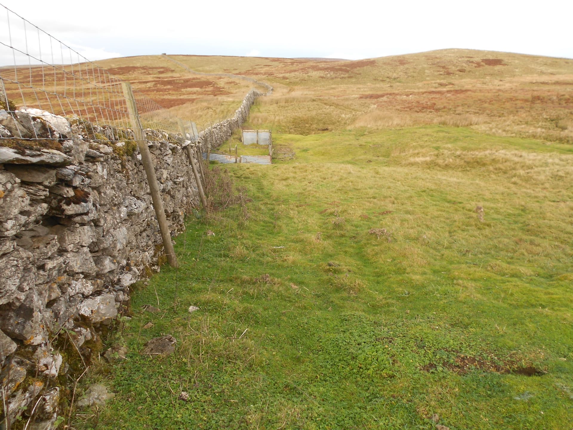
The start point is a pull-off at NY 8922 0062 (317m ASL). This is 1.7 miles north up the road towards Keld from Thwaite. As before I took the track across the road from the pull-off. It’s signposted ‘Muker 2.5 miles.’ At SD 8972 9923 you leave the track taking a sharp left to follow the boggy quad track along the east side of the wall. The 499m summit is at map ref SD 89902 99848. You can get within 60m of the top but then a substantial wall bars the way. For HF on the 21st I chose a place by the wall at SD 8988 9973. Today I went a little further north to SD 8989 9976 where it’s slightly higher. Either way there is somewhere to sit and as before the wall provided an excellent wind break
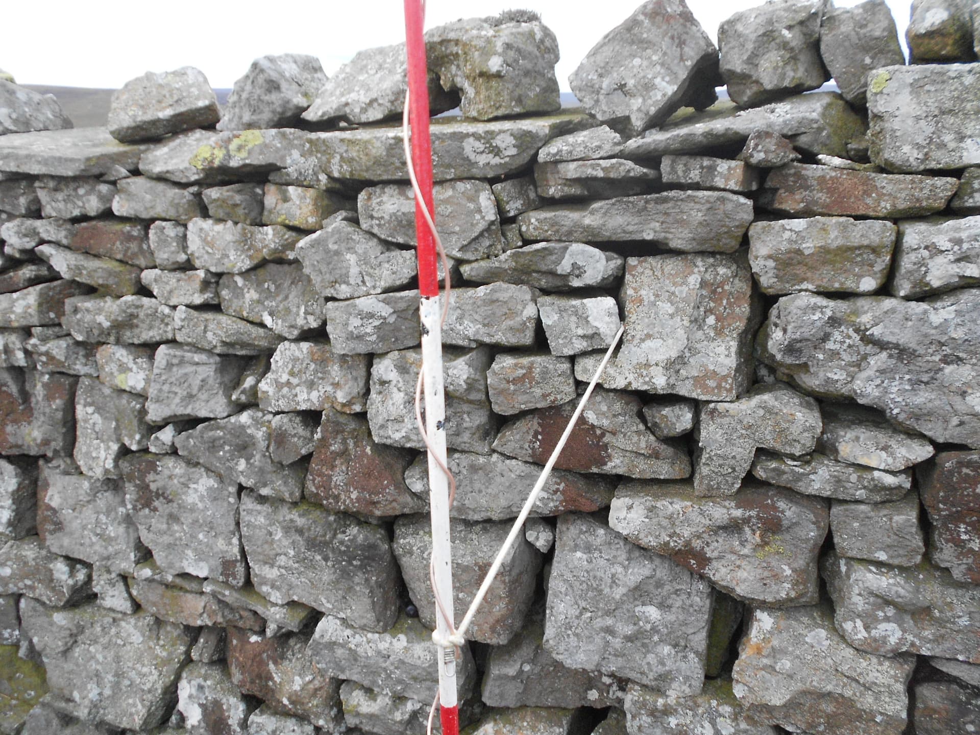
After alerting, I set off walking at 14:43 and in deference to my injury, using one stick and the umbrella for support. The chosen place was reached by 15:18, which was satisfyingly quicker that last time. I set up the Sotabeam on 2-sections of my ali/ carbon HF mast topped off with a 20mm diameter PVC conduit section, which is only employed when using a vertically configured beam.
Upon discovering that the guying kit had been left in the car, I used a thin bungee anchored back to the wall to keep the arrangement from moving too much in the wind. After a photo or two and a self spot, we were ready to go. Compared to nil with 5W and an omni three days before, I felt optimistic. Surely now with a more respectable ERP, Leeds was a possibility?’ The confidence was quickly replaced by reality.
KISDON G/NP-026, 499m, 1pt. 15:18 to 17:08. 7C, 10 to15 mph wind, bright overcast. Drizzle later and on descent. WAB: SD89, LOC: IO84WJ (no trig). Reasonable phone coverage (EE) mostly sufficient for internet spotting but sometimes absent.
145..500/ 145.400 FM – 4 QSO’s:
Following some compass and map work to find out in which direction Leeds was, plus Manchester, Middlesbrough and Carlisle for good measure, I started calling in the direction of Leeds at 14:45z. Nil heard – a disappointment for me as well as Mark G7SXR QTH Driglington, South Leeds, who’d apparently seen my spot and was in attendance.
After 10 minutes of calling on the aforementioned beam headings, the first QSO came at 14:55z. This was G1STW/M - QTH unknown but after swapping reports (59/ 59) on S20, I lost him on the QSY to my chosen working QRG. His words were, ‘OK I’ll QSY to 145.400 but it could be difficult.’ I never heard from him again. He must have been quite close to me but did he have a rig fault or some such? At the moment it’s a complete mystery but it still counts. Callsigns and reports went over. Details from QRZ.com reveal this callsign’s owner is ‘Rich - home QTH Grimsby.’
Next at 15:10z was M0MKU (57/ 55) - Darren at Maryport. He’d seen me on his band-scope/ waterfall. Afterwards I asked him to spread the word as best he could, as West seemed like it might be a promising direction. Darren called on his local repeater for me. Very kind – the ham spirit. Thank you.
Soon after that at 15:15z I got Dave G6LKB in Ulverston so he maybe heard Darren’s call or just saw my spot? I didn’t get to check as we were a bit weak to each other. Nevertheless we swapped reports 56/ 52. However my 56 to Dave was far too generous really and there was QSB too. He was really 42; his voice chopped up by an associated interference racket. After losing one caller the 56 was an unconsidered instant knee-jerk reaction. This was a day for banging off reports instantly, even if they were somewhat inaccurate.
Finally at 15:20z I got G5LEE 52/ 31. He gave his location as ‘Cumbria’ - big place but he wasn’t hearing me well. I think he may have been a product of Darren’s repeater announcement too or even direct contact between them? He initially addressed me as ‘SOTA station.’ Looking Lee up, I find he is also in Maryport. It was touch and go but in the end he repeated both reports back, telling me that we’d exchanged OK and that he’d be logging the QSO.
As far as qualifying NP26 on 2-fm, job done but still no Mark. In fact nothing on any heading after turning several times round the 360 degrees. I was calling with my 50 Watts and listening de-squelched for almost a further half hour on both S20 and S16.
On arrival I noticed that repeater GB3HG (on 145.625 - located up at Sutton Bank Gliding Club – 285m ASL) was almost 59 to me but I forgot to go back there and beg, as I do when I’m desperate.
My son Phil G0UUU text me to say that my signal wasn’t reaching Leeds. He’d seen Mark’s message on Sotawatch. Phil tried me /M after driving up to the local high spot near GCHQ on Irton Moor, Scarborough, to no avail. You look around and the hills are all higher but to be completely fair it needs trying on a weekend or bank holiday. At home I find that Sunday afternoon is my best chance of a 2m QSO, especially from my local HEMA HTW8 Seamer Beacon. The rest of the week it’s almost totally dead. The same overlooking applies to Hard Knott in LD but I’ve qualified that in the past with 5W of FM.
Going by the history of over 100 VHF QSO’s from NP26, someone has had some success. I recently found out that one such was Gerald G4OIG. With SSB, a 5-ele and QRO, he worked eleven from NP26 in 2010 including down to Devon and way up into Scotland. A great day out on Kisdon.
By 16:45 BST I was both out of time and getting wet so QRT is written in the log at 15:47z.
The Descent:
The walk down, initially directly into a cold wind with light drizzle, took 31 minutes, arriving by 17:39 and back to Thwaite 10 minutes later. One of the gate chains is a bit fiddly and one is broken so it didn’t help that I was carrying a stick and a brolly.
The forced introduction to stick use has uncovered an issue that I didn’t have before; namely gloves will be needed when colder conditions arrive. Up to now I only used gloves in winter when pockets became insufficient.
COMMENTS:
A hard struggle with no HF backup but to be fair I had a great afternoon sitting up there. Like all SOTA activators, I love the high places any time I’m there and I rarely want to leave.
HF on the 21st was brilliant of course but I enjoyed the walk more today. Less drizzle and the confidence is creeping back. I still need to go steady of course; using sticks. My times were much better, so if nothing goes wrong, I’m happy enough with that.
I got 4 contacts on 2m-FM but it was pity I couldn’t reach Mark in Leeds as per the plan or Phil up the hill near Scarborough.
I must thank M0MKU Darren at Maryport for calling on his local repeater to drum up support for me. That action may have got me over the line?
Another visit to my new-found-friend Kisdon and a simple easy activation. It beats a walk up the road. Very enjoyable.
One thing that’s worth considering is my recently acquired Yaesu FT1500 50W mono-bander, used for this activation. As yet, it’s a bit of an unknown quantity. Could it have been flattened by strong signals? You could be forgiven for thinking that a mono-bander would have good filtering but does it? There was that racket coming in with G6LKB but it wasn’t evident any other time. Also my transmitted signal, assuming the rig was working, would be unaffected by that of course. I’m left wondering whether anyone else has had interference trouble on NP26. There is that phone mast nearby – maybe 600 to 700m away. What other services has it got on it? Just a thought.
The Short Route:
Posts on my recent ‘G4YSS: NP26 on HF 21-10-25’ report introduced a ‘short route’ option for this hill: Andy G8CPZ and Gerald G4OIG with Paul G4MD have all activated via a short route in the past. It’s only approx 2 x 1.2km. They no longer have the route coordinates but according to recent research by Andy, with assistance from Google Maps satellite view, the critical gate needed to access the summit cairn without climbing a wall or being brought up short like I was, is at NY 89593 00203 (54.39719, -2.16179).
The start point is the same as described in this report (ie NY 8922 0062 317m) then you follow the track as before. From Andy’s Google screenshot it can be deduced that you turn left off the track somewhere in the region of NY 8938 0033 (370m ASL) thro’ NY 8938 0028 (380m ASL) or possibly a little further along, then head for the gate. Once through the gate, it is a yomp up to the summit in a SE direction, heather being the predominant vegetation. Obviously being shorter, this route is also steeper but is apparently less boggy. If I get to Kisdon again I’ll likely investigate.
Please note:
The above route description is based on certain assumptions, may not be accurate and will require further refinement. It is not a public right of way; in fact there are no rights of way to NP26’s summit proper. Also after leaving the track any path, if one exists at all, may be at best ill-defined.
ASCENT & DISTANCE:
Ascent 196m (643ft) / Distance 2 x 2.4km (3 miles in total)
Start point at 317m ASL then dipping to 310m to cross the ford at Skeb Skeugh beck.
Driving:
Scarborough to Thwaite: 87 miles via A170-A684-B6270 in 2hrs-27min
Thwaite to Scarborough: 93 miles via B6270-A1-A168-A170 in 2hrs-30min
Total Distance Driven home to home: 283 miles
Walking times:
Ascent: 35 min
Descent: 31 min
Summit time: 1hr-50 min
QSO’s:
4 on 2m-FM QRO (50W/ 3ele)
SOTA Points: 0
THANKS:
To ALL STATIONS worked and the SOTA spotting service. To M0MKU Darren in Maryport for alerting on his local repeater. To Andy G8CPZ for research on the short route. To Gerald G4OIG for confirming the short route and showing that NP26 VHF is more than just possible. To Mark G7SXR and Phil G0UUU/M for trying.
73, John G4YSS/P
Photos: 159p-651p-723p-755p-107p-1-2-3-6-8-7-9-13-532map-059p-24-112p-Profile
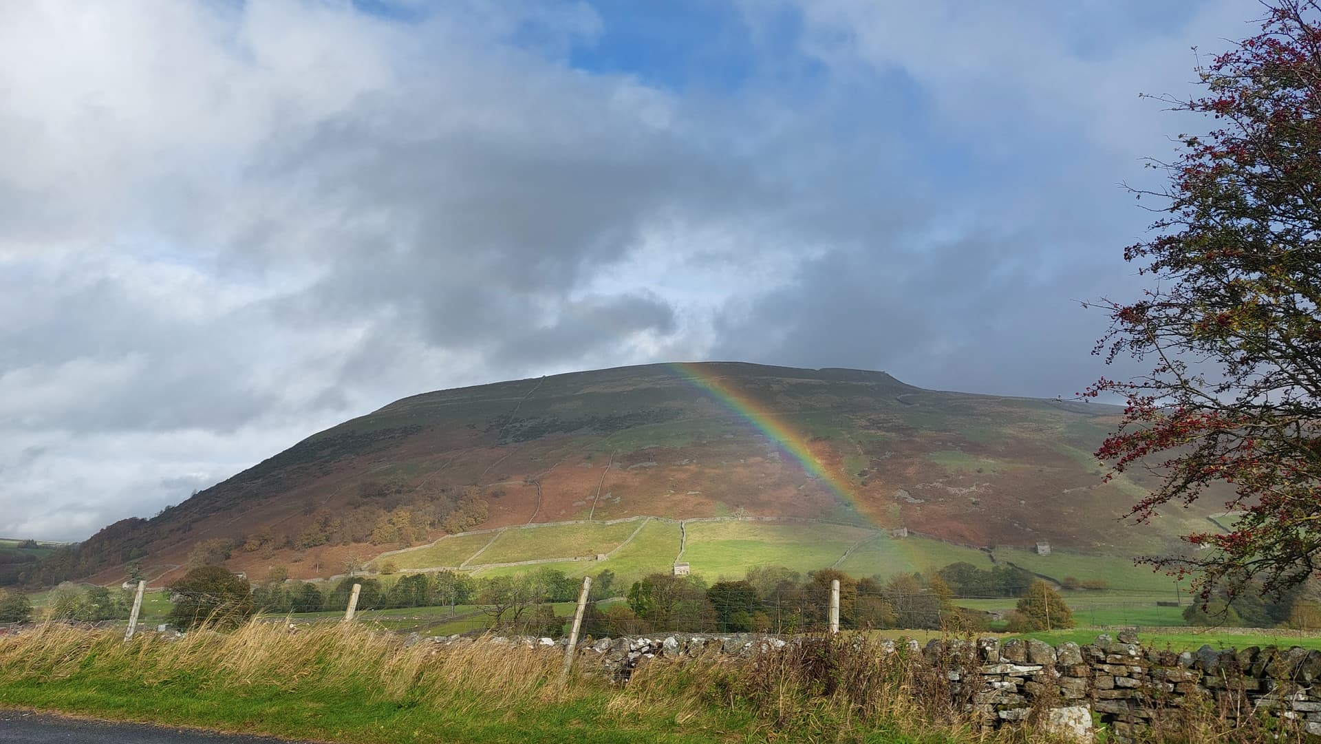
Above: G/NP-026 Kisdon on the drive back from Muker
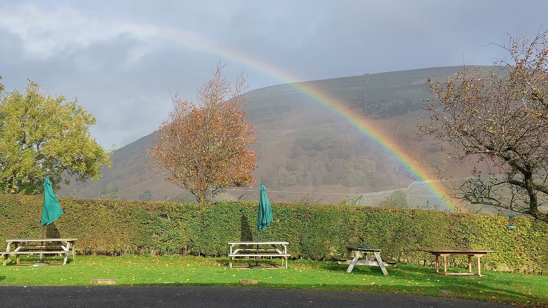
Above: G/NP-026 Kisdon from Kearton Guest House, Thwaite. Still rainy but it was to clear

Above: The parking place and track leaving road to left
Above: The track
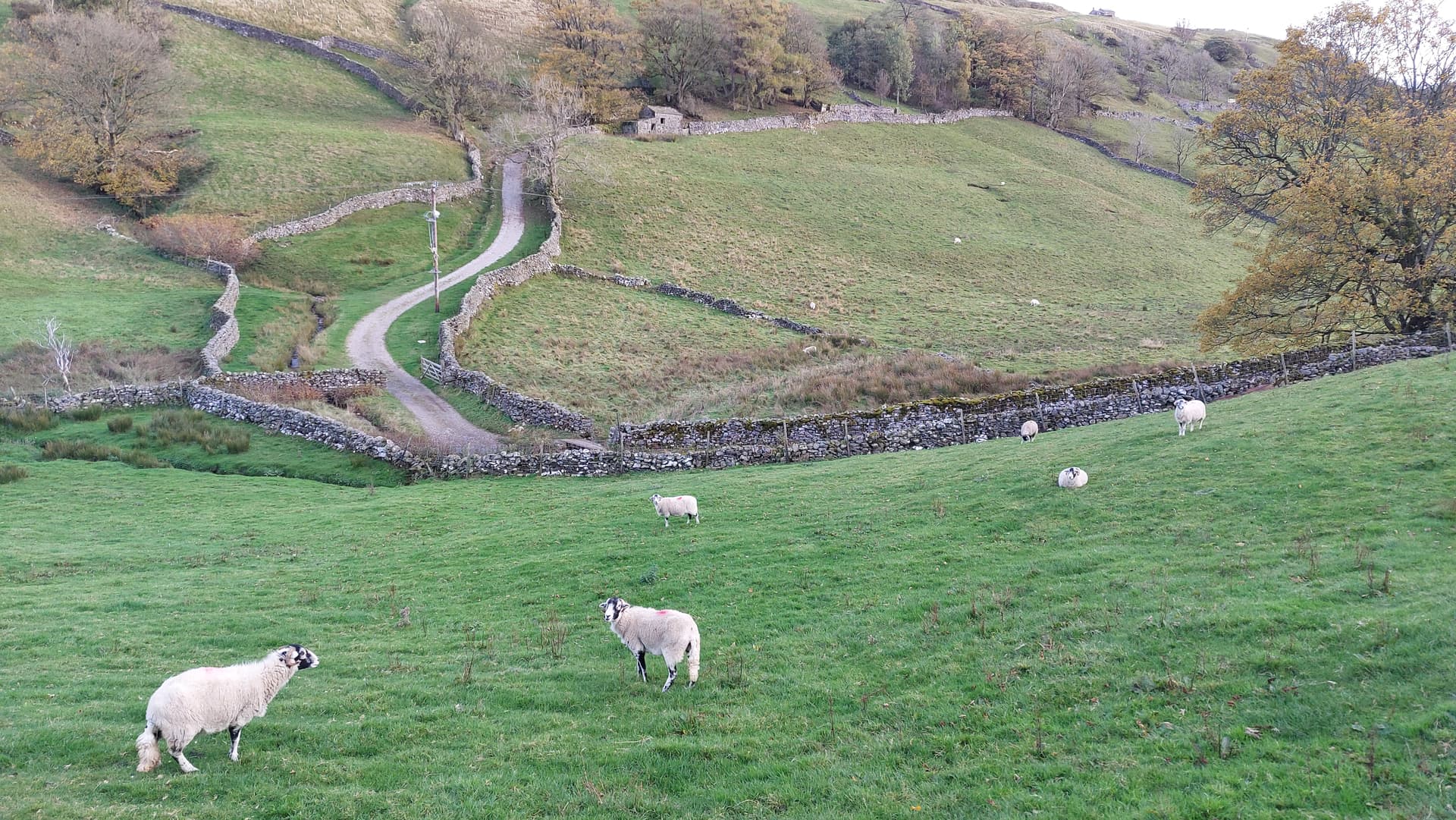
Above: Overview of track from Thwaite-Keld road
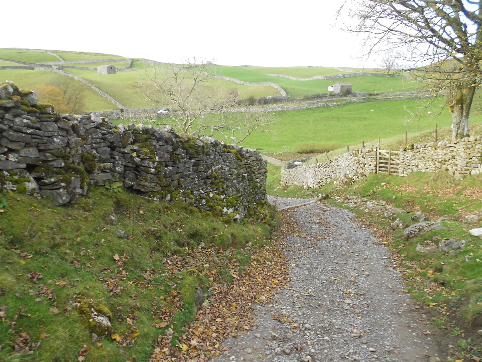
Above: Looking back. Car just visible
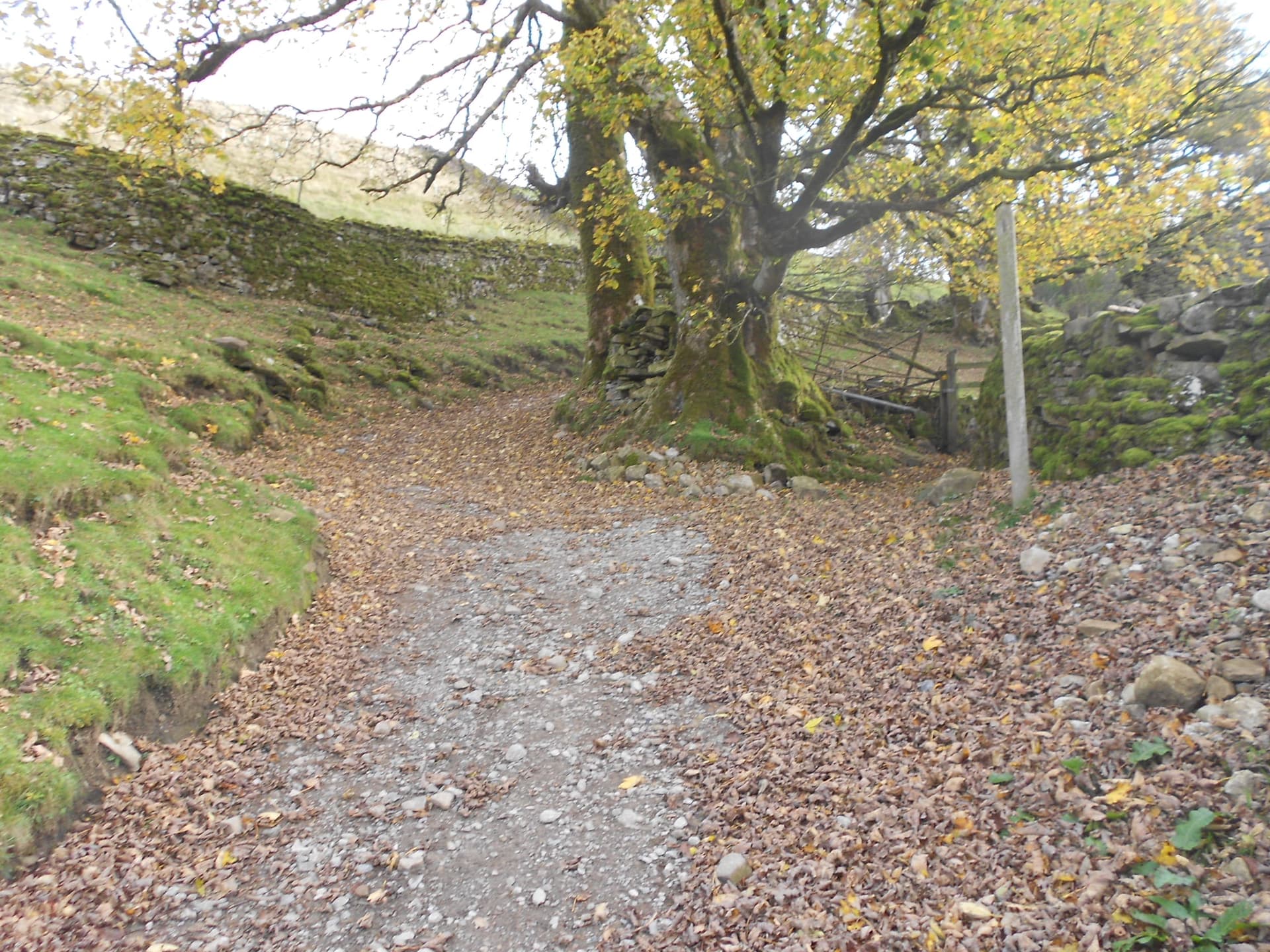
Above: Up the leafy lane
Above: First gate - looking back
Above: Straight ahead
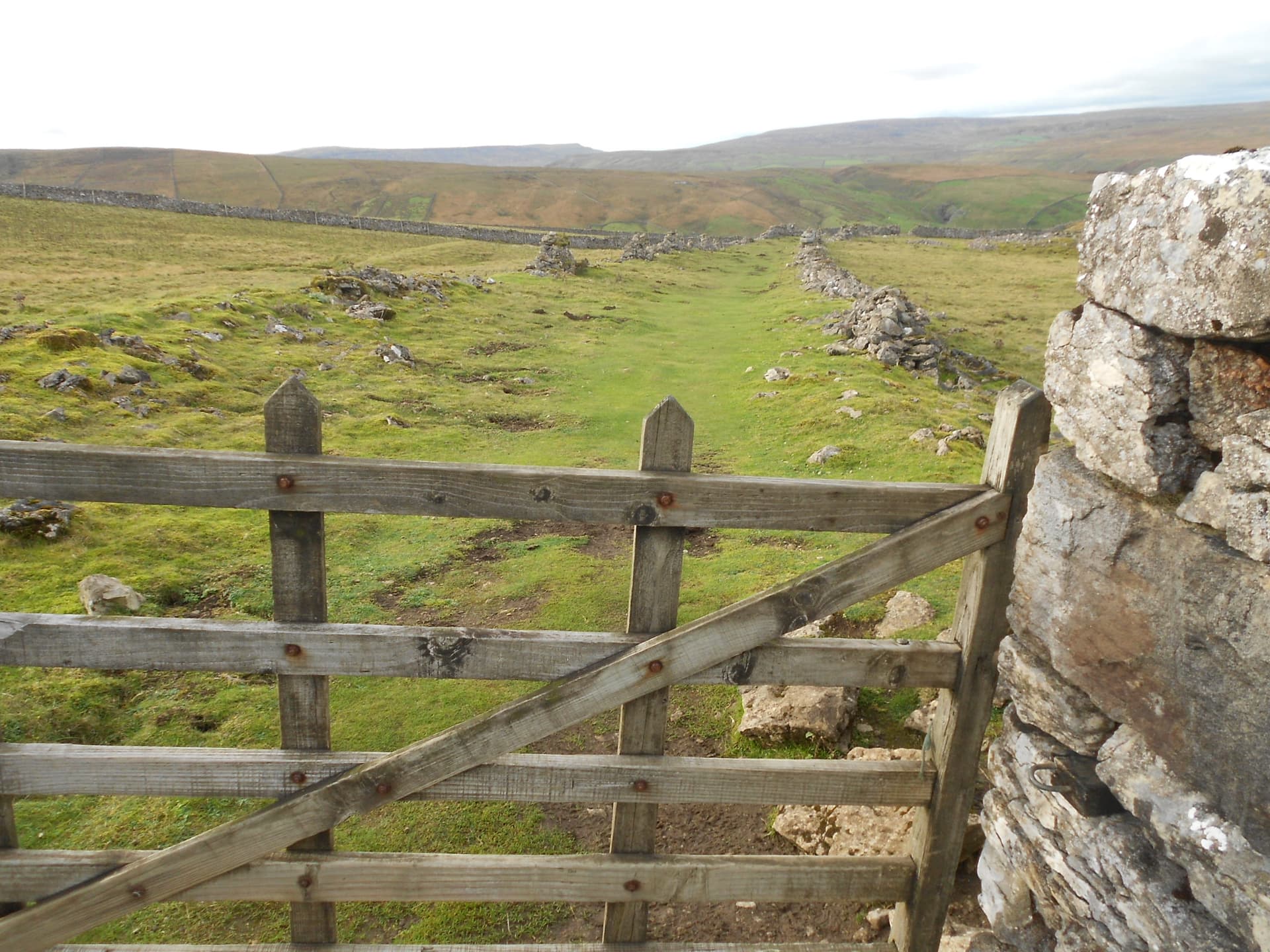
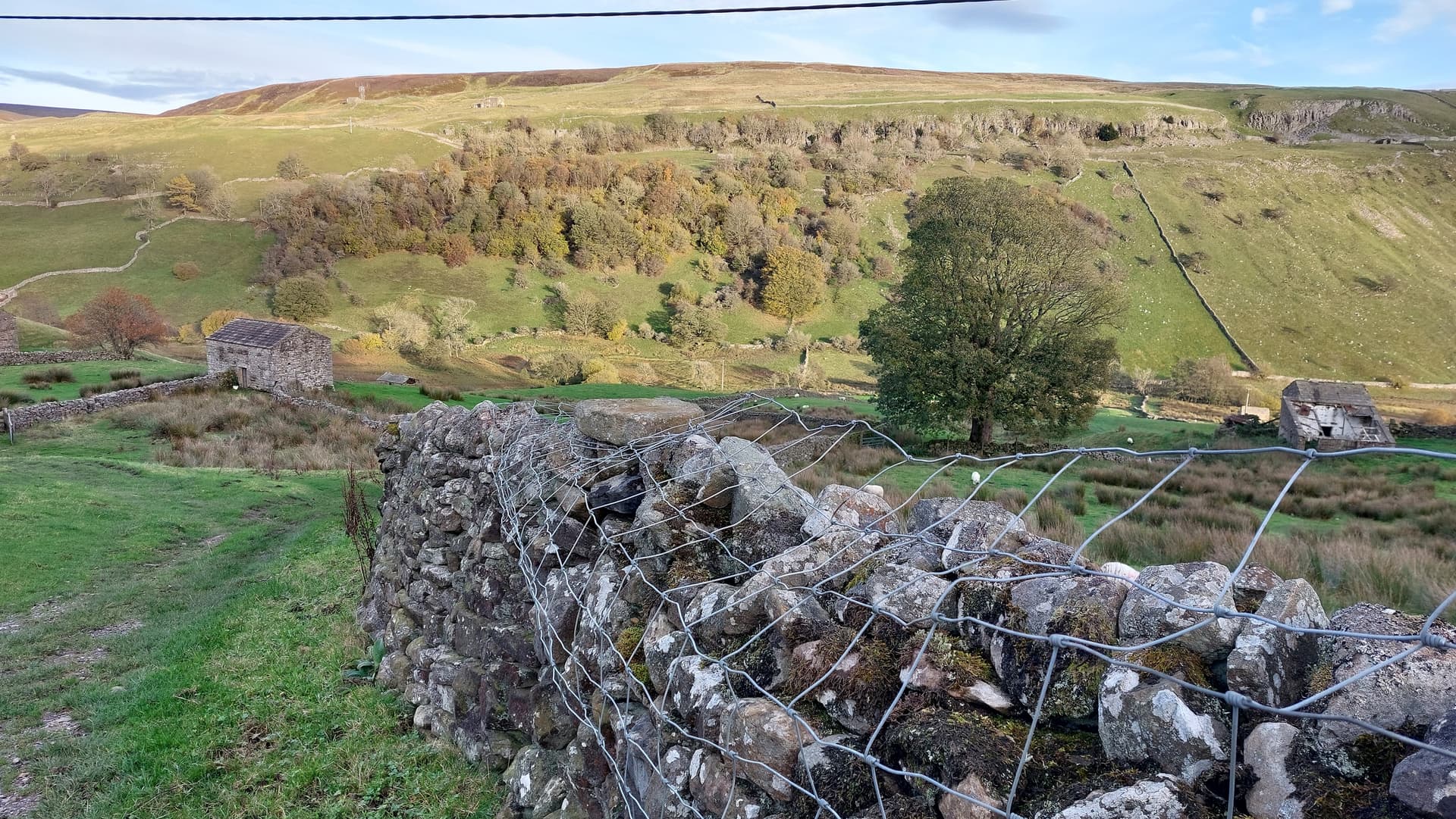
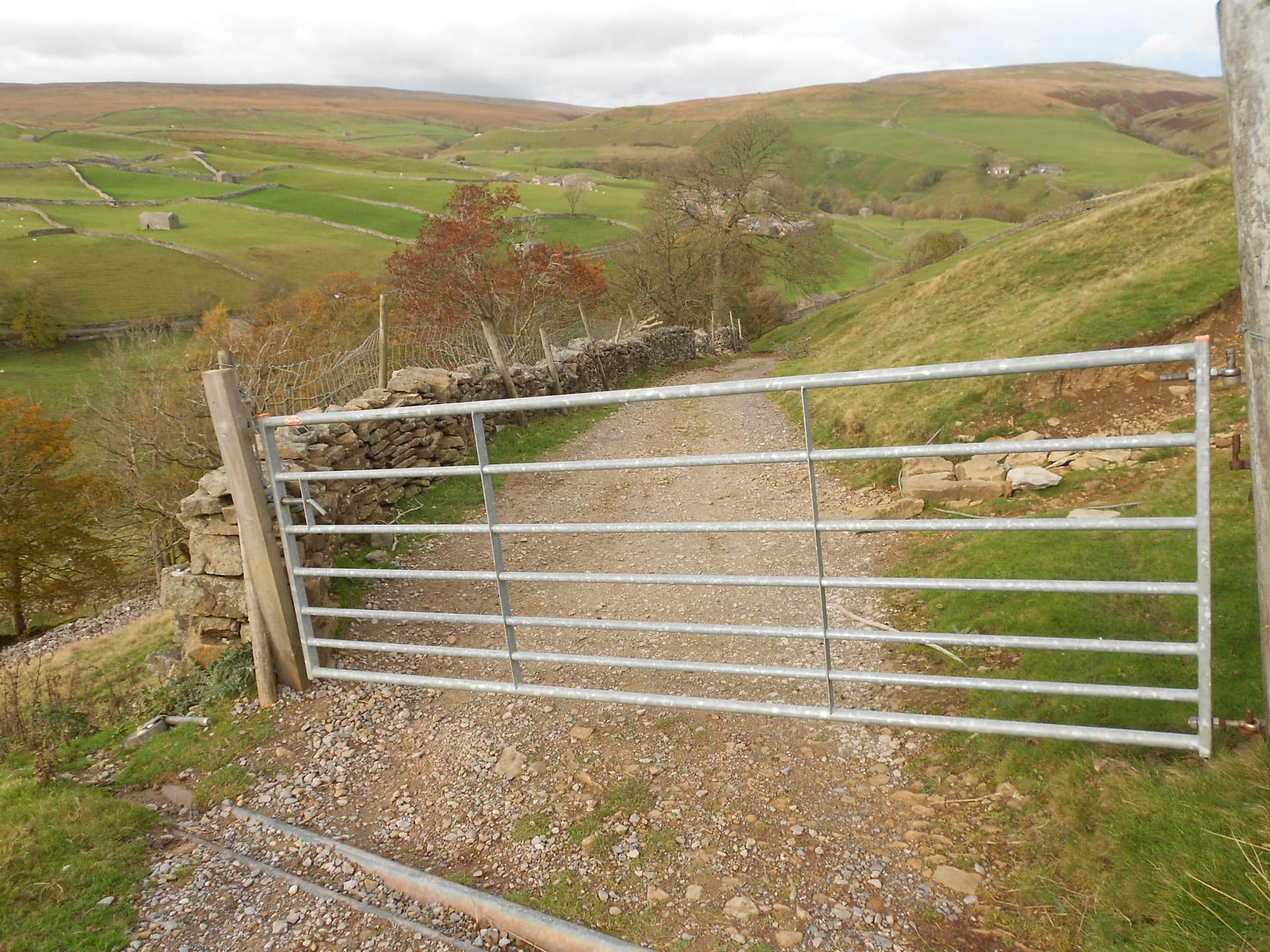
Above: Looking back at the final gate - turn sharp left (NNE) here (long route)
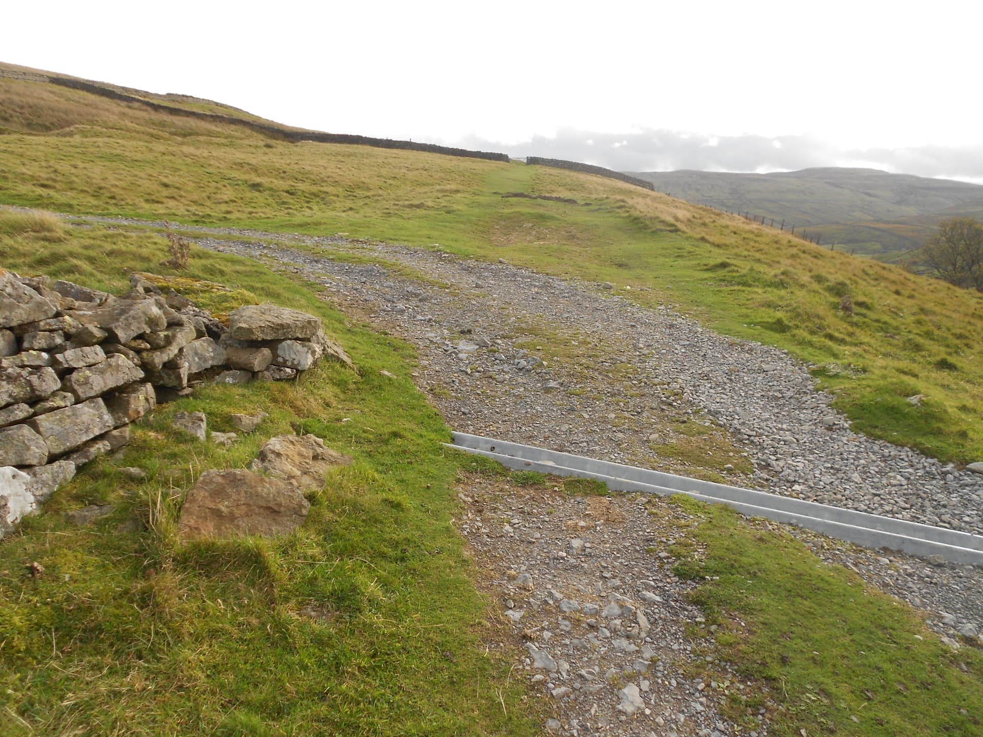
Above: Walk NNE from final gate
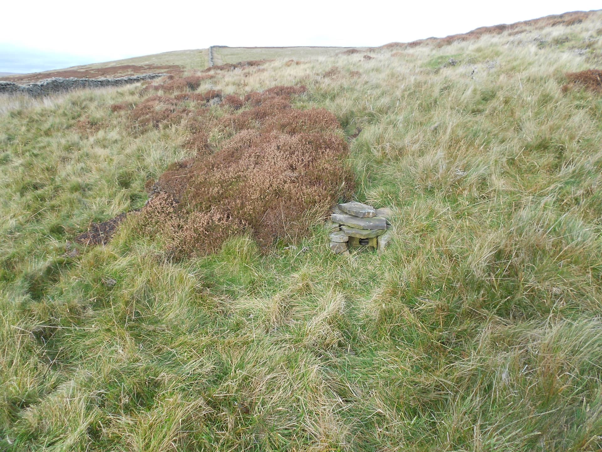
Above: Animal home or animal trap?
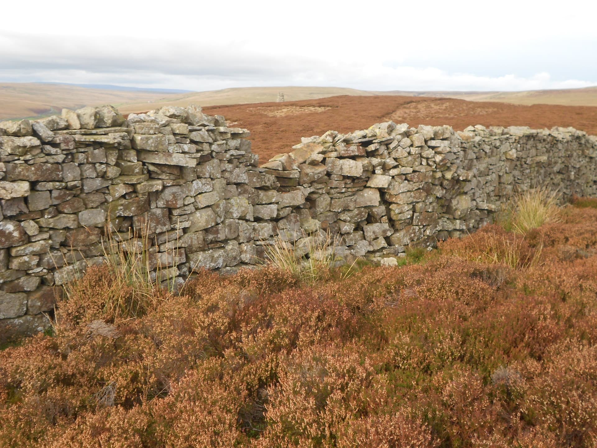
Above: Chosen VHF operating position at left. Summit cairn in background
Above: Today’s VHF operating position
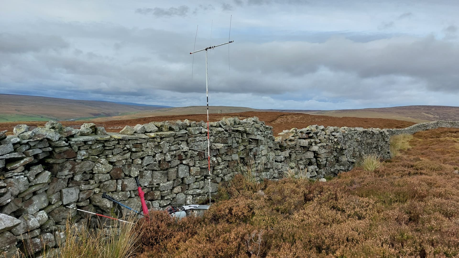
Above: Sotabeam pointed at Leeds
Above: Bungee - forgot the guying kit
Above: Handy rock to sit on
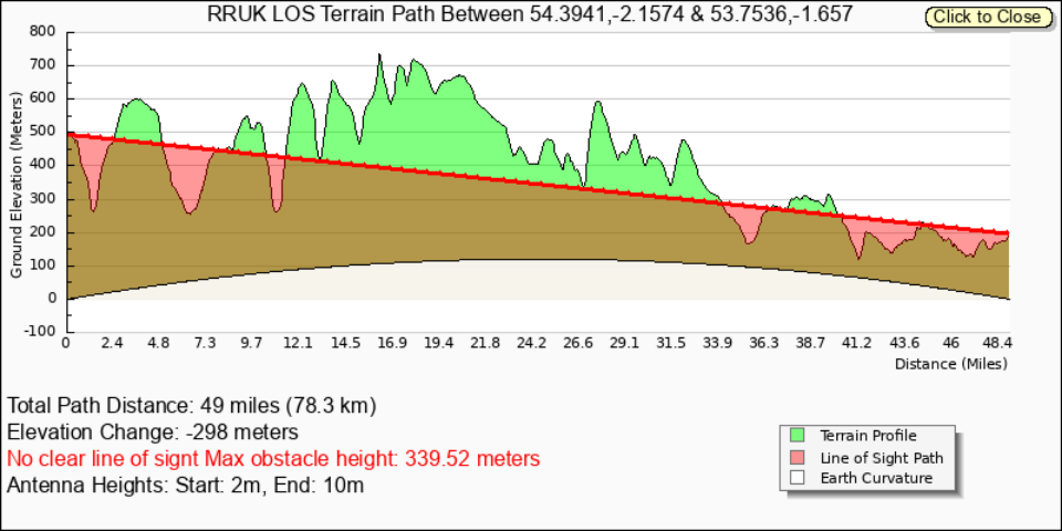
Above: Line-of-sight to Leeds (or the lack of it). Analysis by Mark G7SXR - South Leeds
NP6 Gt Shunner Fell 2m-FM QRP - report in due course.