G4YSS: G/NP-026 Kisdon on HF, 21-10-25
Issue-3 incorrect callsigns - pse rprt further errors (thanks!)
Activation of KISDON G/NP-026 - 1 point
Tuesday 21st October 2025 (My 1st activation of this summit)
Bands: 40m, 15m & 20m CW & SSB QRO (2m-FM QRP - no QSO’s)
All times: BST (UTC plus 1hr, UOS as ‘z’)**
EQUIPMENT:
FT817ND HF/VHF/UHF 5W Transceiver
MX-P50M, 50 Watt HF Linear Amplifier
Link dipole for 40m & 20m (30m & 15m) on a 5m H/B CFC mast
HRB 11.1V/ 5 Ah Li-Po (No9) battery (fully discharged)
UV-5R H/H. 2-Band, 5W-FM (with filter) & J-Pole for 2m FM
UV-3R H/H. 2-Band, 2W-FM in top pocket
Garmin GEKO-301 GPS
Pack weight:10kg (22 pounds) inc Primaloft jacket
INTRODUCTION:
After a SOTA lifetime of largely ignoring one-pointers, I find that lately they have become attractive. I knew the day would come eventually and NP26 has been pencilled in for a while to provide a try-out for my partly recommissioned Achilles tendon after the mishap on SP1 in April.
Our base this time was the Kearton Guest House in Thwaite, Swaledale. This is run by Caz and Adam since they acquired it a year ago. Although I am new to it, my XYL isn’t, having stayed there for two or three family holidays between 1966 and 1968. Yes, that’s a while ago!
B&B for the two of us for 7 nights was £880 and we had our evening meals there too, adding typically £24 per person for two courses. This is a dog friendly establishment - luckily I still had a bag of Finn’s treats in my coat pocket. Most people are passing through, staying just one or two nights and it’s bang on the Pennine Way. By the start of November, in Adam’s words, trade falls off a cliff. There is an attached tea room which opens Wednesday to Sunday and a bar.
At 196m of ascent and 4.8km round trip, NP26 looked suitable for my ‘re-training’ with possibly one caveat. The first ½ km or so is steeper than I would have preferred so my XYL suggested the use of sticks. Sticks!. ‘Oh OK then, if I really must.’ She bought me some months ago. In fact because the forecast was poor, I ended up with a stick in one hand and a furled umbrella in the other. To be honest they did help but they can be a pain of you want to take a photo or fiddle with the GPS etc.
EXECUTION and ROUTE:
Note: The grid letters change from NY to SD part way along this route:
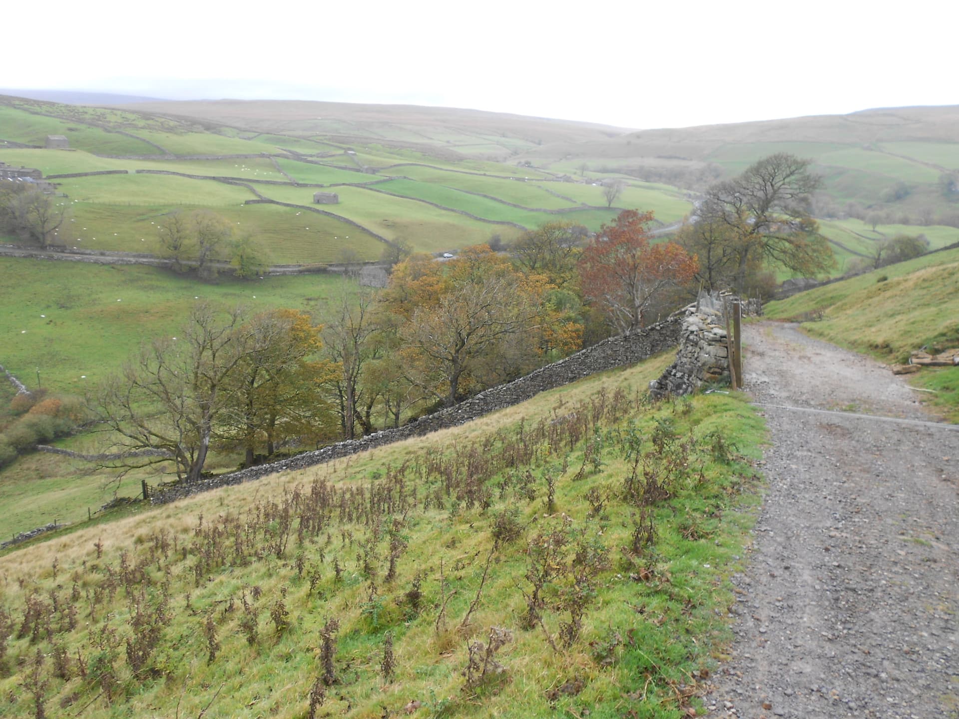
Though there’s a path starting from the Kearton in Thwaite, possibly the easiest way up this one is to drive 1.7 miles north up the road towards Keld. There is space for two or three cars in a pull-off at NY 8922 0062 and the advantage a 317m ASL start point.
Cross the road and walk down the track signposted ‘Muker 2.5 miles’ which curves down to a ford. If the beck is deep take the raised pavement to the right. At NY 8922 0058 the track swings left and goes steeply up to NY 8927 0060 changing direction right (SE) to NY 8935 0052 where a path crosses.
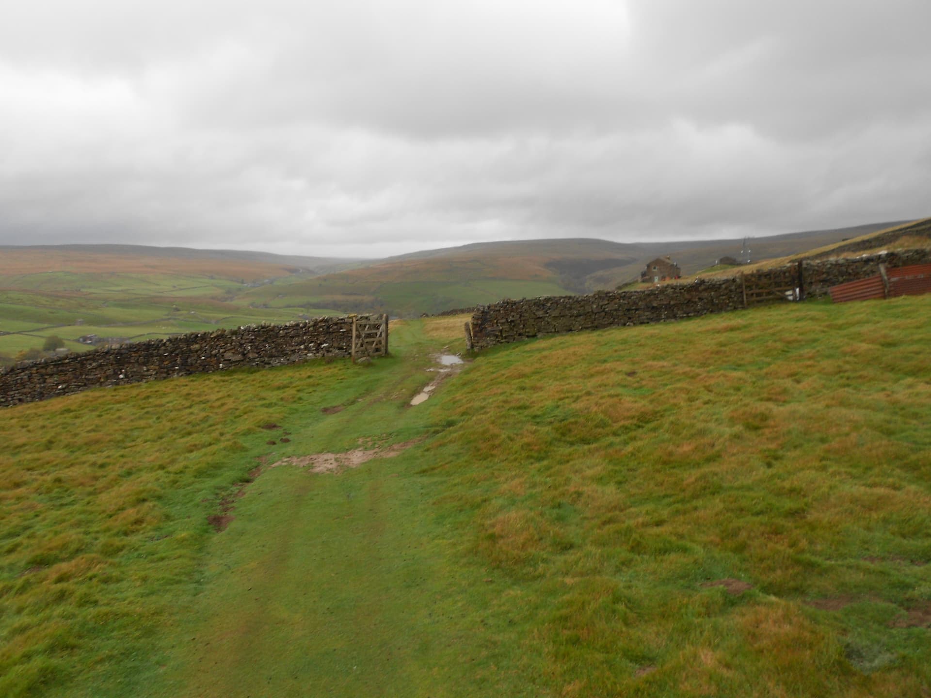
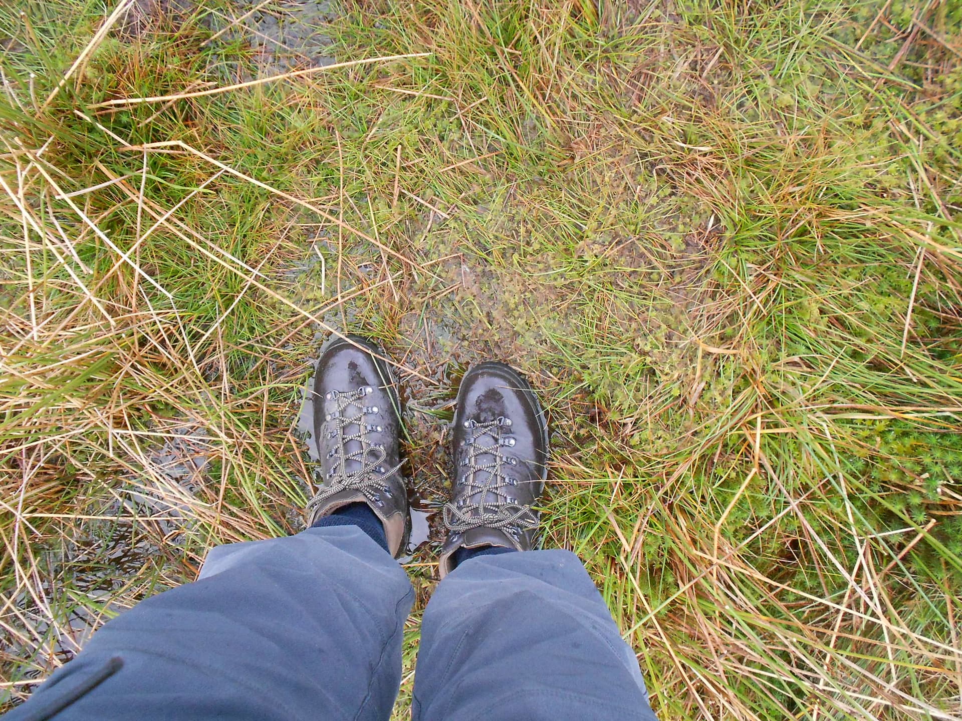
Shortly after this the gradient eases a little. Continue up a grassy track to NY 8940 0010. At some point the ways fork but another wooden Muker sign clarifies that you fork left through a gate. Carry on up past SD 8952 9947 to SD 8972 9923 where you take a sharp left to follow the boggy quad track along the east side of the wall going NNE.
Never very good and somewhat boggy, the quad track becomes less well defined before you arrive at the place where the walls fork (NW & NE) at SD 8982 9965. Continue to follow the wall going NE, aiming for the 499m summit which is at map ref SD 89902 99848.
I use the word ‘aiming’ here because unless you’re willing to climb a 6-foot wall to get there, you’ll have to be satisfied with falling short by around 60m. I walked as far as SD 89901 99780 which is 64m from the top. You could get a little closer but the wall turns west after a short distance, taking you further away. As a teenager, I may have been tempted to climb the wall but not nowadays.
As for operating, this wall provides an excellent wind break but not today or at least not at this point today. There was quite a stiff breeze coming from the WSW so I backed off to where the wall runs N-S at SD 89878 99731. Here someone has arranged some stones to make a small seat a few inches off the ground. It’s perfect for activating and well within the AZ. Be careful though. Just along from here, the wall is doing a side slide and threatening to collapse.
I set off walking at 10:28 using one stick and the umbrella to tackle the steep part. However it wasn’t long when I was attacked in the side of the head by driving drizzle after which it was just the stick. The chain on one of the gates is a bit short and one further up has broken.
A farmer appeared on the track having driven his quad up the steep side of the hill. He opened the gate 30m ahead of me, drove through and then stopped as if he was going to close it. Not so, it was only so that the sheep dog could jump on the back and off they sped. I was in a quandary as to whether to close it or leave it open. A real conflict. Close it and annoy him because he was intending to drive some sheep through it or obey the country code. I left it open thinking he’d reappear but I never saw him again and nor did I see any sheep.
KISDON G/NP-026, 499m, 1pt. 11:19 to 16:27. 10C, 20mph wind, overcast with occasional drizzle and sunshine for about 30 seconds. WAB: SD89, LOC: IO84WJ (no trig). Intermittent phone coverage (EE) was absent much of the time. Just sufficient for spotting but not always.
Setting Up:
There is grass next to the wall but deep heather further out. In my recovering state I was being careful where I put my feet and what angle the left one was making with the ground so I was a bit slower than formerly. The dipole on its 5m mast, was rigged parallel with the wall with the end strings wedged in the top of it. With the sit mat/ map case on the handy stone seat I was well set for the afternoon.
7.032 CW - 15 QSO’s:
This started very slowly at 11:00z and it took nearly half an hour to raise the first eight. After trying earlier I only managed to spot myself by 11:18z and for that I needed SMS. After much CQ’ing: EI6DN John in Co Neath replied followed by IN3NJB Roberto - Sarche. Next HB9DIZ Markus – Lucerne; G4ISJ/P Peter – apparently a POTA station; DB4REB Ralf – Xanten; and G4OIG Gerald in Northampton, sending his Morse on a ‘proper’ hand key.
Next: PD1RO Rolf – Koningsbosch; G4WTF Ian – Hereford City; DL1FU Frid – Biedenkopf; G4OOE Nick in my home town of Scarborough; DL2ASG Martin – St. Gangloff; PG4I Joop – Culemborg; HB9CLT Tom in Romanshorn; G4FKA Geoff – Coalpit Heath and G0HRT Rob at Milton Keynes.
Apart from one 579 all were 599 to me. Coming back were six of the same with the rest ranging down to 329 which came from Tom in HB9. Power was 30W.
7.160 SSB - 20 QSO’s:
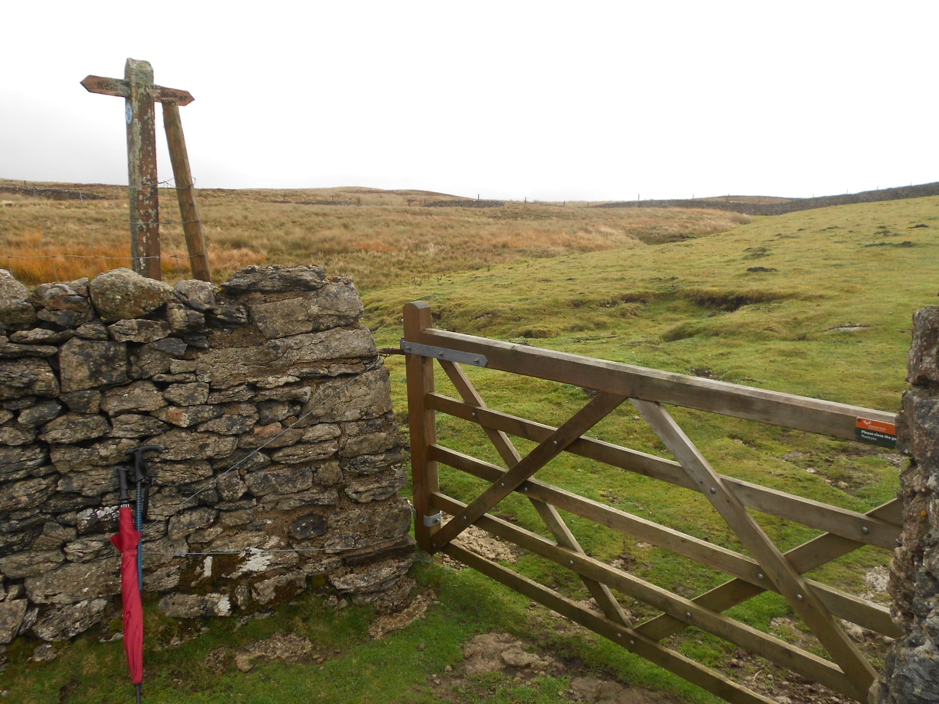
There was no one on the WAB frequency at the time but there’s almost always someone monitoring. All it took was, ‘Is this frequency in use?’ and Dave G6LKB (Ulverston) came right back. I had to disappoint him – NP26 doesn’t have a trig point. Furthermore even if it had, I couldn’t have accessed it anyway. Peter (Peterhead) MM3PDM overheard the conversation, informing me that the trig point rules had changed. Instead of a 30m radius circle, your station was now allowed to be anywhere inside a 100m one.
This is a change that was needed. Beside the A171 at Cloughton near Scarborough a trig point stands in the middle of a farmer’s field, more that 30m from any road but less than 100. More importantly, when SOTA activating in the depths of winter, I have had to forgo the protection of a wall or other windbreak to set up out in the open and slowly freeze just to be near enough to the trig (eg NP31). This change gets my wholehearted approval!
Continuing on: G0FEX Ken in Leicester (‘Say Hi to Phil G0UUU for me’); M1AOB Richard – North Devon (ST30); G4RQU David in Hunstanton (FT950/ G5RV); 2E0FEH Karl in Saltash, Cornwall; PD1CW Patrick – Hulst; M7GNR Barry – Silloth (NZ44); G4FKA Geoff 8mls NE of Bristol; G0MHF John at Birkenhead.
Waiting patiently was Paul G4IPB collecting the SOTA from Middleton-in-Teesdale. Paul is one of the ‘Top Band Gang’ but I wouldn’t like to say when the next 160m offering will occur? Well not from me at least but it was fun while it lasted. Rolling on: M8PCL Garry at Bridlington (TA16); M0WPS Wayne – Brum; DG3GAI Klaus in Unterkirnach; G8VNW Nick in Threshfield – another keen 160m chaser and M0NOM Mark in Windermere who I’d worked the day before from the car (thanks for Claife Heights LD53 Mark).
Frantically turning the log page over and fighting with the clip, the next entry was G7SXR at Driglington near Leeds. Mark sounded strangely ‘SSB’ish’ after our many FM QSO’s both SOTA and local. Mark listened for out and also tried calling me later on 2FM but to no avail. NP26 is well screened.
The final three on 40m-SSB: M0SGJ Steve near the lighthouse in Withernsea in TA32; G6AEK Dave at Blackpool and to round off the session – MW9WJS John in Newport.
Power was 30W again. Reports were mainly 57 to 59 but I also got a 54, a 55 and a 32 coming from Klaus. As the skip was running at the time, I knew he’d struggle so I gave him priority. Several times I stopped to ask if there were any mobile stations wanting to call in as I didn’t want to block the normal running of WAB for the sake of SOTA and me waffling too much. As it happened, there were none.
21.061 CW - 6 QSO’s:
Activating 15m next eliminated the need to get up and change links, although I was having to stand up most times to get the phone to work. VSWR for the 40m dipole on 15m is around 2:1 but it works fine.
After another self spot I barely had to call CQ. In the 15m log: OH8TX Jorma – Jarvenpaa (599/ 579); AC1Z Robert in Alton, New Hampshire (first DX of the day - 599/ 559); HA5MA Laszlo – Budapest 599/ 569); WF4I in West End, North Carolina (599/ 539); ND0C Randy running 5W QRP from Worthington, Minnesota (579/ 326) and LZ4GL George in Byala (579 both ways). Power was 50W but this was eating the battery for which I would pay later.
21.320 SSB - 7 QSO’s:
Signals on 15m were better than average so when CW dried up, my thoughts turned to SSB. Another self spot and maintaining the 50 Watts brought in: EA1FQO Jonatan – Vigo; EA7ANC Antonio in Granada; OK7WA Frantisek – Halenkovice running 100W to a vertical; 3Z9VI Tom in Wadowice and SP9GKS Tomek – Myslowice.
The next caller was F5MDY Nic in Deyme. I praised Nic for his good audio. He came back in amazement, ‘I’ve got Covid!’ (Don’t knock it; it’s a lot cheaper than a speech processor)! Get well soon Nic. A familiar callsign, usually using CW, finished this off – OH3GZ Jukka in Toivakka.
14.065/ 14.062 CW - 16 QSO’s:
I looked at 14.061 but there were clicking noises there. Tuning down, I found wall-to-wall woodpecker - very loud. To clear this completely I had to pick 14.065, self spotting there. Bad idea or is it just that my current knowledge of the bandplan is lacking? Before being convincingly wiped-out I logged five stations with 30 Watts: DL6MST Klaus – Wernigerode; DL1HBT Tom – Hamburg; DL8DXL Fred in Laussnitz; DL4SO German in Bad Waldsee and EA1AER Juan in Leon.
Nine reports were 599, one was 579 so propagation was good; then came a deafening data signal while I was wrestling with a part callsign OK1U?J who never stood a chance. Through the racket I sent QRM-QRX but it didn’t stop. 14.062 was clear so as well as sending the QSY QRG through the data, I was lucky enough to get a spot away.
The chasers must have heard one thing or seen the other as they were still queueing up: Now on a clear 14.062. First I called for OK1U?J but without response. I tried this twice more at intervals but it wasn’t to be. He must have gone off in disgust to chase someone a bit more competent than me. In the log: OH3GZ - Jukka prefers CW to SSB! W4JKC Tom in Anderson, South Carolina; F6FTB Christian in Pasques; SV2OXS Christos - Katerini and after opening an improvised page-3 of the log, S52AU Borut – Ljubljana.
Six more: UR7EZ Mike – Ukraine (GL); SQ7SZ (Poland); F4VVG Simon – Scheibenhard; SA4BLM Lars – Siljansnas; K4QS Charles – King George, Virginia and finally RA1QX Alex in Volagda. Towards the end of this QSO the rig abruptly cut out. The battery was almost finished and I had no spare. Switching off the linear, I finished the QSO with 5W. Apologies if you were left wondering what had happened.
14.292 SSB - 3 QSO’s (QRP):
Aware that more that 50% of QSO’s were logged in CW, I self spotted a 20m SSB frequency. Unfortunately this would have to be with the amp switched off. With the FT817ND on 5W I managed to work EA2CPG Pedro in Cantabria (59/ 57) but then the rig cut out again. I soon found that one Watt was the limit but I could only manage two more stations: OE1KEB/P Karl (home QTH Vienna) and S57ILF Franci in Jesenice. The exchange for both of these was 57/ 44. With my next port of call 500 mW, I really wasn’t winning here but thankfully no one else called. Also in deference to the battery, a 5Ah HRB Li-Po, it was time to quit.
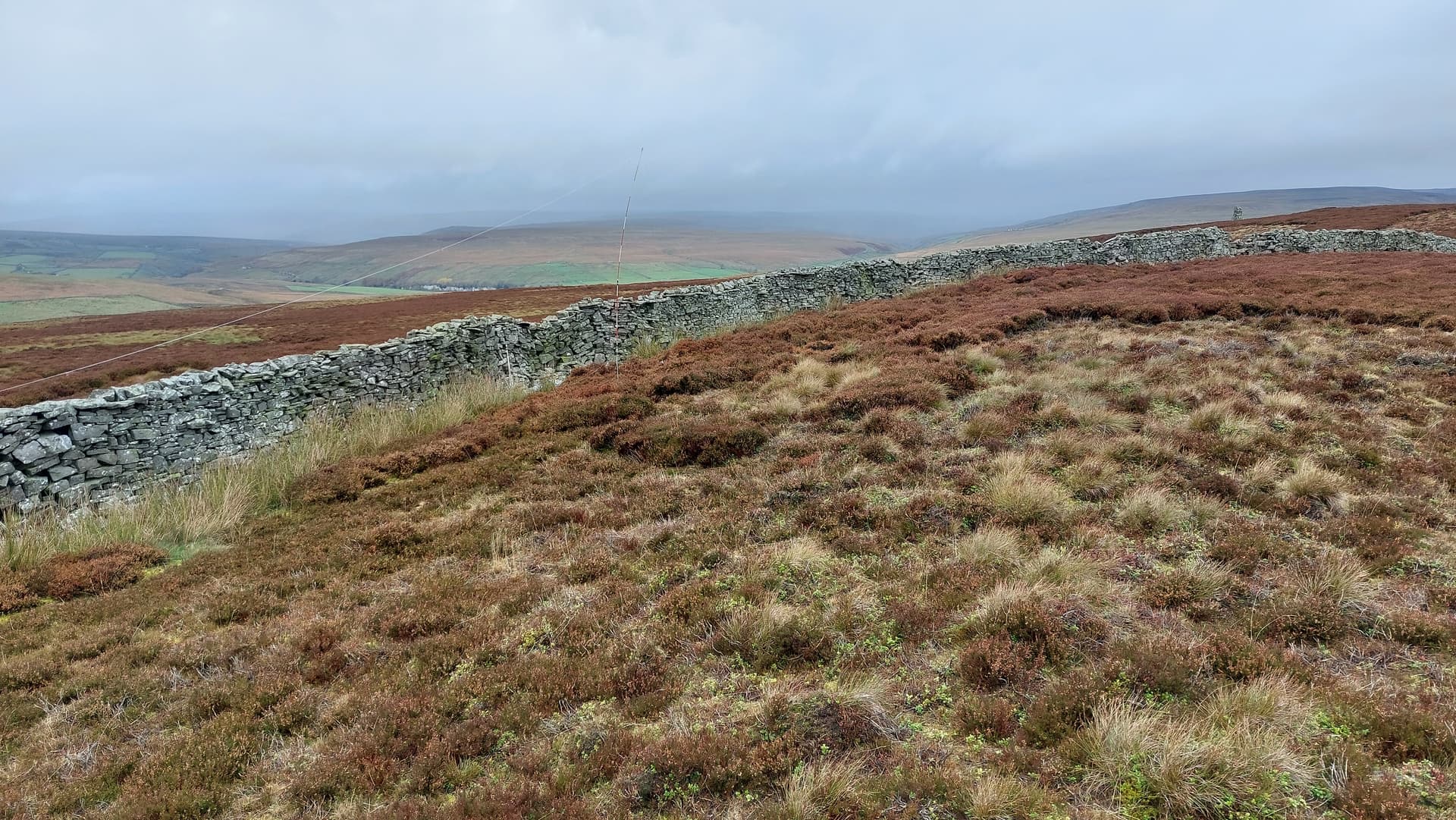
145..500/ 145.400 FM – NIL:
I took HF down and replaced it with the J-Pole on three of the mast sections. There have been 107 VHF QSO’s from NP26 but I was to be unlucky today.
After a self spot and using my UV-5R, I called alternate CQ’s on S20 and S16 for half an hour in recently arrived drizzle. I found out the following day, when working him from NP6, that Mark G7SXR had been calling me. Either his signal didn’t get through from Leeds or I was on one frequency when he was calling the another. Thanks for trying Mark! If I ever return to this one with 2m-FM only, I’ll try to bring a more capable station.
The Descent:
The walk down, initially in wind and drizzle, took 41 minutes, arriving by 17:08.
ASCENT & DISTANCE:
Ascent 196m (643ft) / Distance 2 x 2.4km (3 miles in total)
Start point at 317m ASL then dipping to 310m to cross Skeb Skeugh beck
Walking times:
Ascent: 51 min
Descent: 41 min
Summit time: 5hrs-8 min
QSO’s:
15 on 40m-CW
20 on 40m-SSB
6 on 15m-CW
7 on 15m-SSB
16 on 20m-CW
3 on 20m-SSB
0 on 2m-FM QRP
Total: 67
COMMENTS:
The day before this had a bad forecast but in fact no rain fell and apart from chasing Mark’s SOTA (M0NOM/P on LD53) from the car at Tan Hill, Monday was wasted. Today the forecast was no better and with the limited days draining away I felt I had to go for it. It was unclear to me whether the field boundary lines on the 25k map represented fences or walls. Our host Adam told me that walls existed on the summit. You bet! When I found them they were six foot high and the wind was just right for them to work their magic. It meant that I would be able to stay for several hours in relative comfort. This is how I like it but I still took an umbrella – an item I hold in high regard especially for SOTA activations.
Adam also remarked that it is unusual to climb a UK summit without physically being able to bag the summit proper. Maybe someone knows a work-around without resorting to climbing high and in places, shaky looking dry-stone walls. The last thing we want is that they get damaged.
Having made it up there with a recovering Achilles injury I was thankful enough to get within 60m of that elusive cairn. There is a tall stone structure close by too but you can’t get over to that either. Apart for the farmer on his quad, I saw no one on the hill today and wildlife was limited to the occasional Red Grouse. Their sudden loud alarm call really makes me jump. Fools me every time.
Band conditions were really good. I gathered, during a mobile QSO with Mark G7SXR two days prior, that there’d been a minor solar flare with the MUF around 20 Mhz so I’m more than grateful for a timely recovery. 21 MHz was working very well and it’s long time since I had that many DX chaser contacts with the USA coming in stronger that usual.
I had a thoroughly good time, barely noticing the cold wind and drizzle apart from the latter on the log. It was great to be back amongst the G/NP’s again with the added bonus – a new one to me hitherto ignored but now a dear friend like many of the others. On the subject of friends; lovely to chat to old friends and new. Every op has his or her own unique story.
What next? This feels like progress. Yes, I’m slower and as a precaution I use a stick (or two) but I feel I could now move a little further down the road to recovery. Small increments is the key but even then there will need to be limits.
THANKS:
To ALL STATIONS worked and the SOTA spotting service. Also to 2E0FEH Karl for a spot.
73, John G4YSS/P
Photos: 921p-732p-start-201p-1-3-6-9-13-15-16-45-19-20-615p-756p-map-29-832p-33-37-38-spot-53-55

Above: G/NP-026 Kisdon from Kearton Guest House, Thwaite

Above: Parking place. Take the track at the sign ‘Muker 2.5 miles’ by the tree at top left

Above: Follow the track which hairpins left down to a ford, swinging right and reappearing at left of photo
Above: Route overview from the road. Initially hidden by trees, the walled track slopes up left to right, passing in front of the house high on the hill
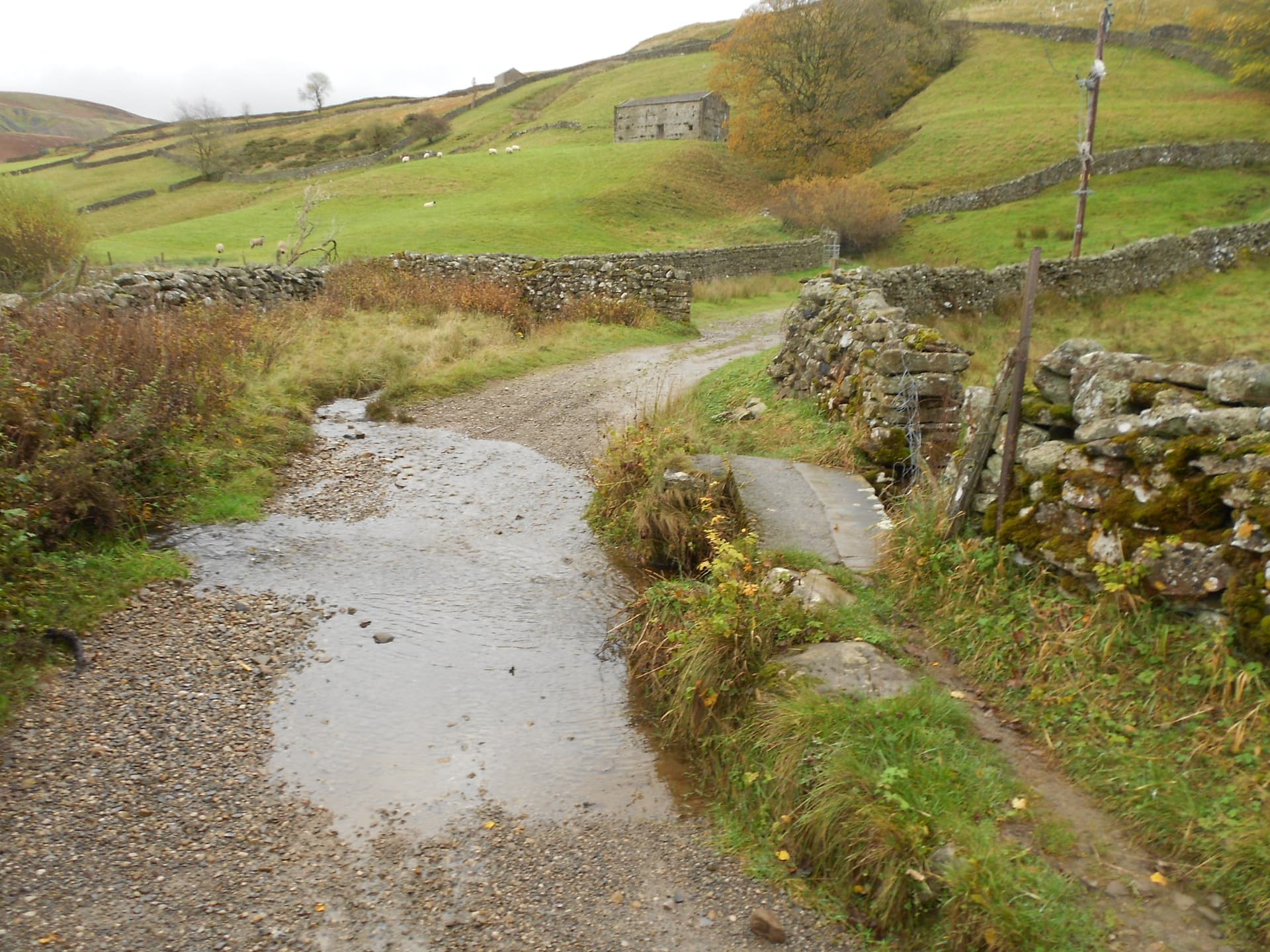
Above: Cross the ford - easy today. Wash your boots on the way back!
Above: Looking back having cleared the trees
Above: Looking back again

Above: Coming up to where the ways part. Take the track through the gate ahead
Above: Sign for Keld or Muker. Take Muker

Above: Straight on

Above: This is where you leave the track. Pass through the gate and turn sharp left keeping the wall on your left

Above: Take the vague quad track beside the wall. It can be boggy (photo taken on descent)

Above: Summit coming into sight
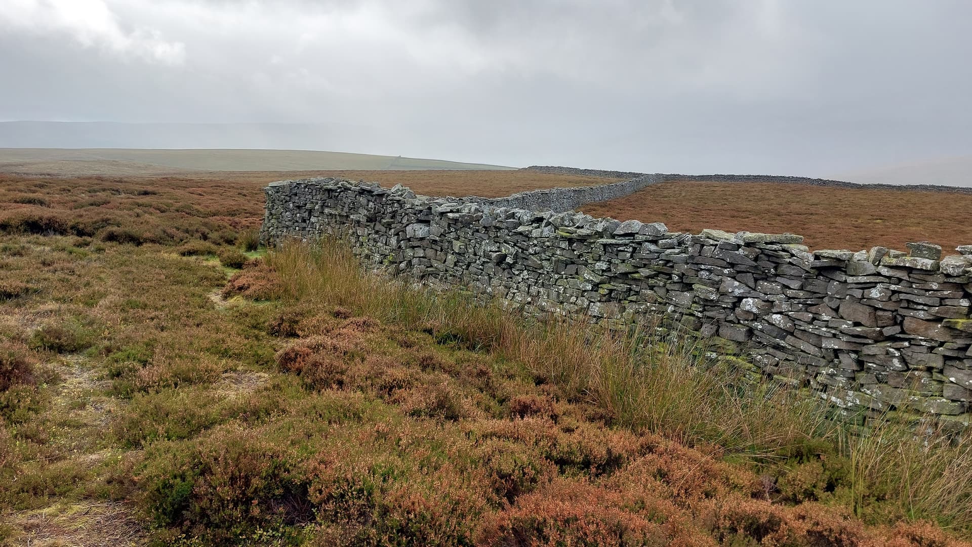
Above: Substantial walls
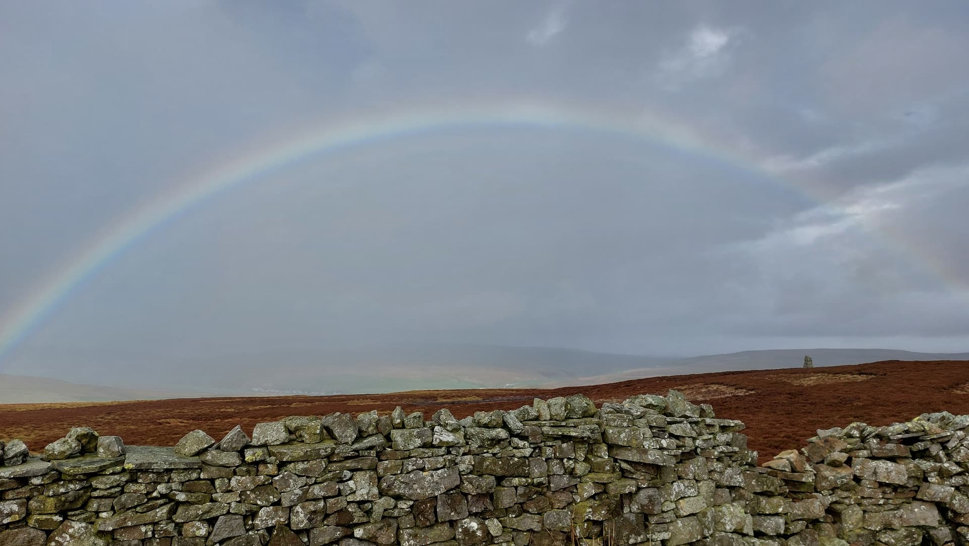
Above: Another shower of drizzle

Above: This is as close as I could get without climbing. Maybe there’s a gate somewhere?

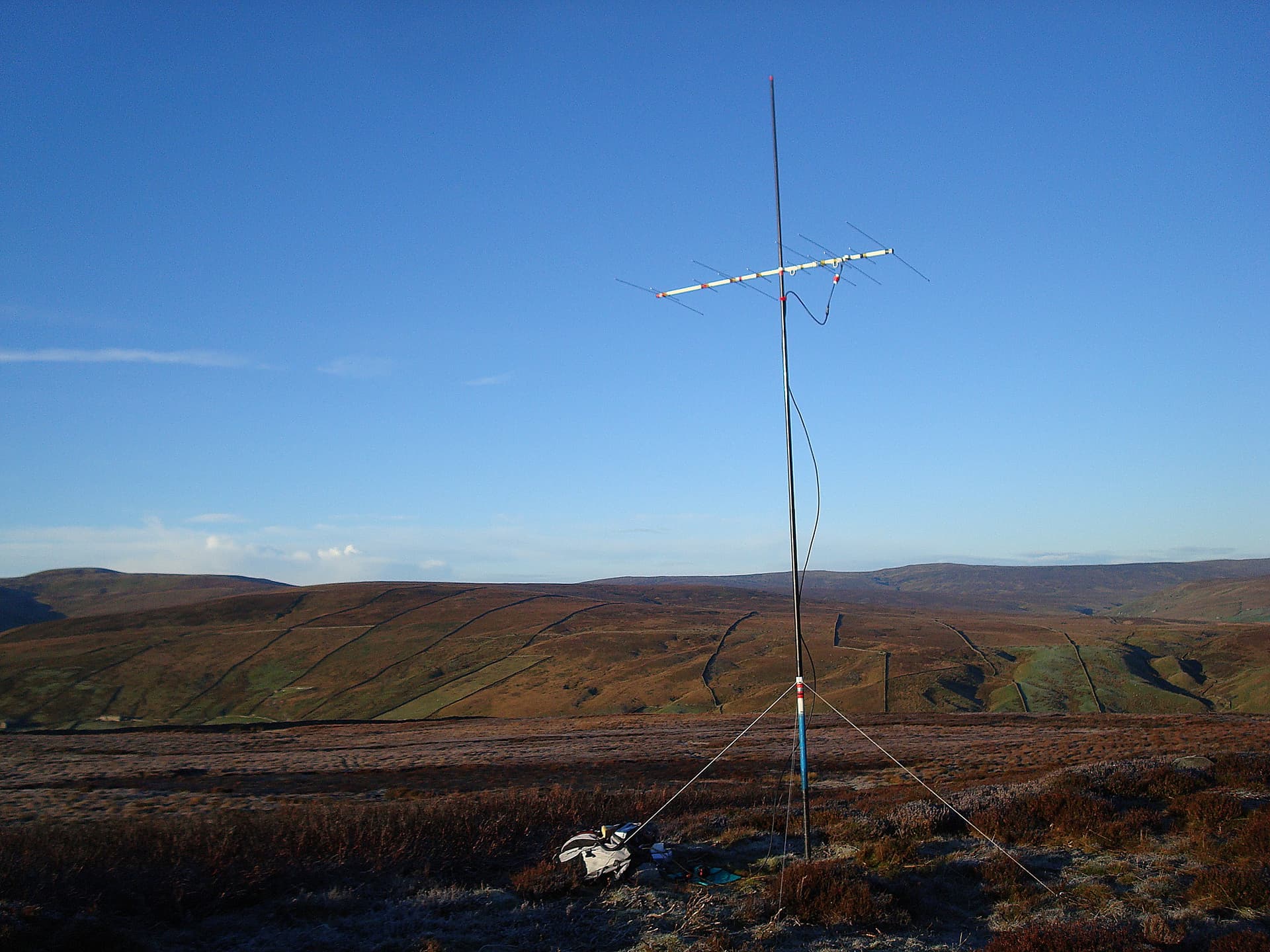
Above: Setting up HF
Above: Activation of NP26 on HF
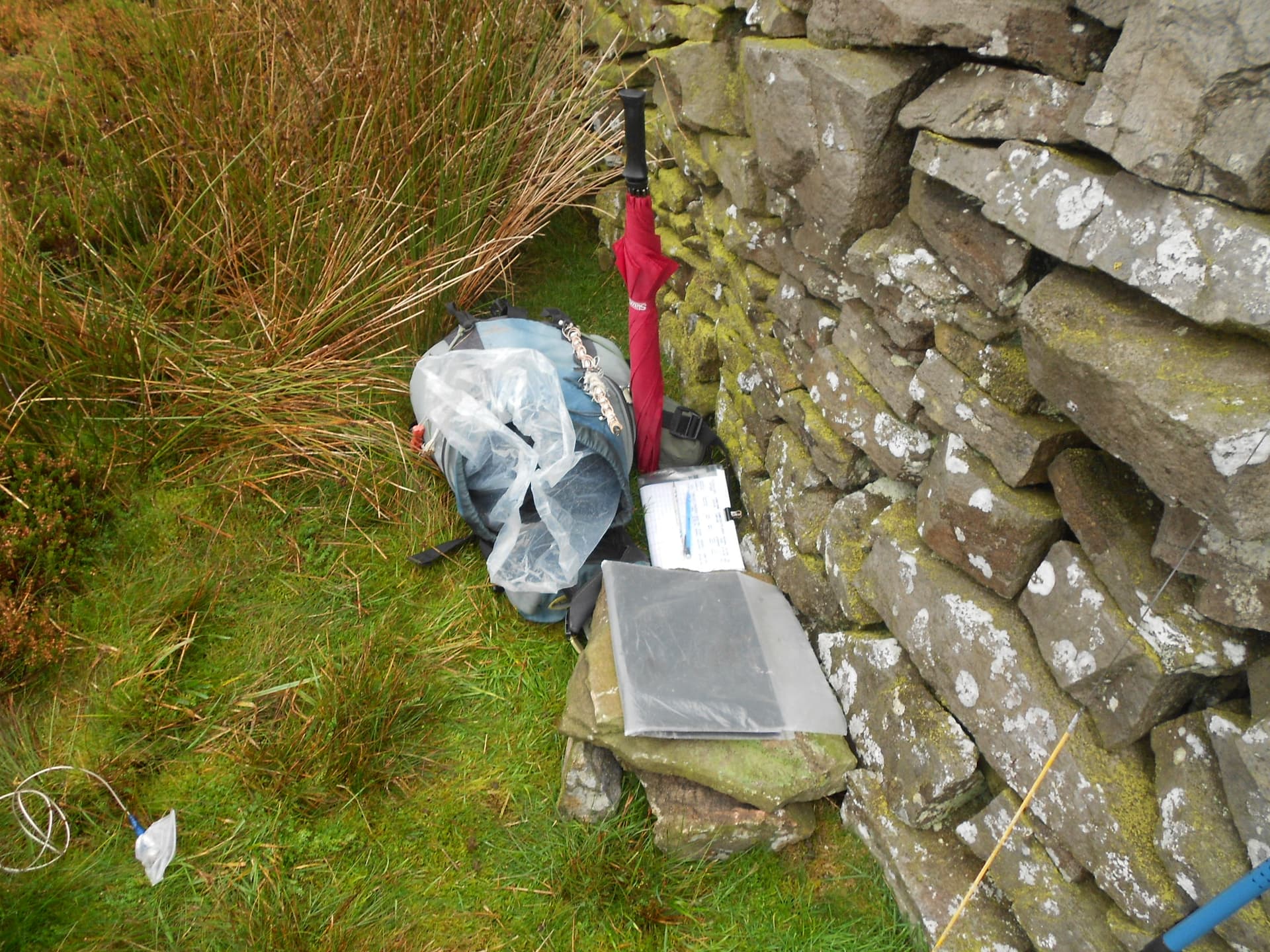
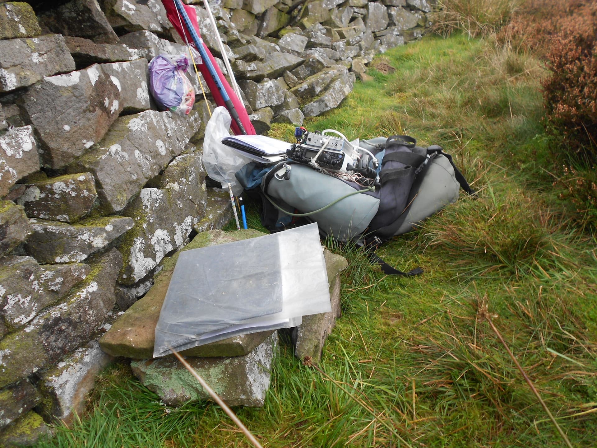
Above: All good for a 5-hour stay

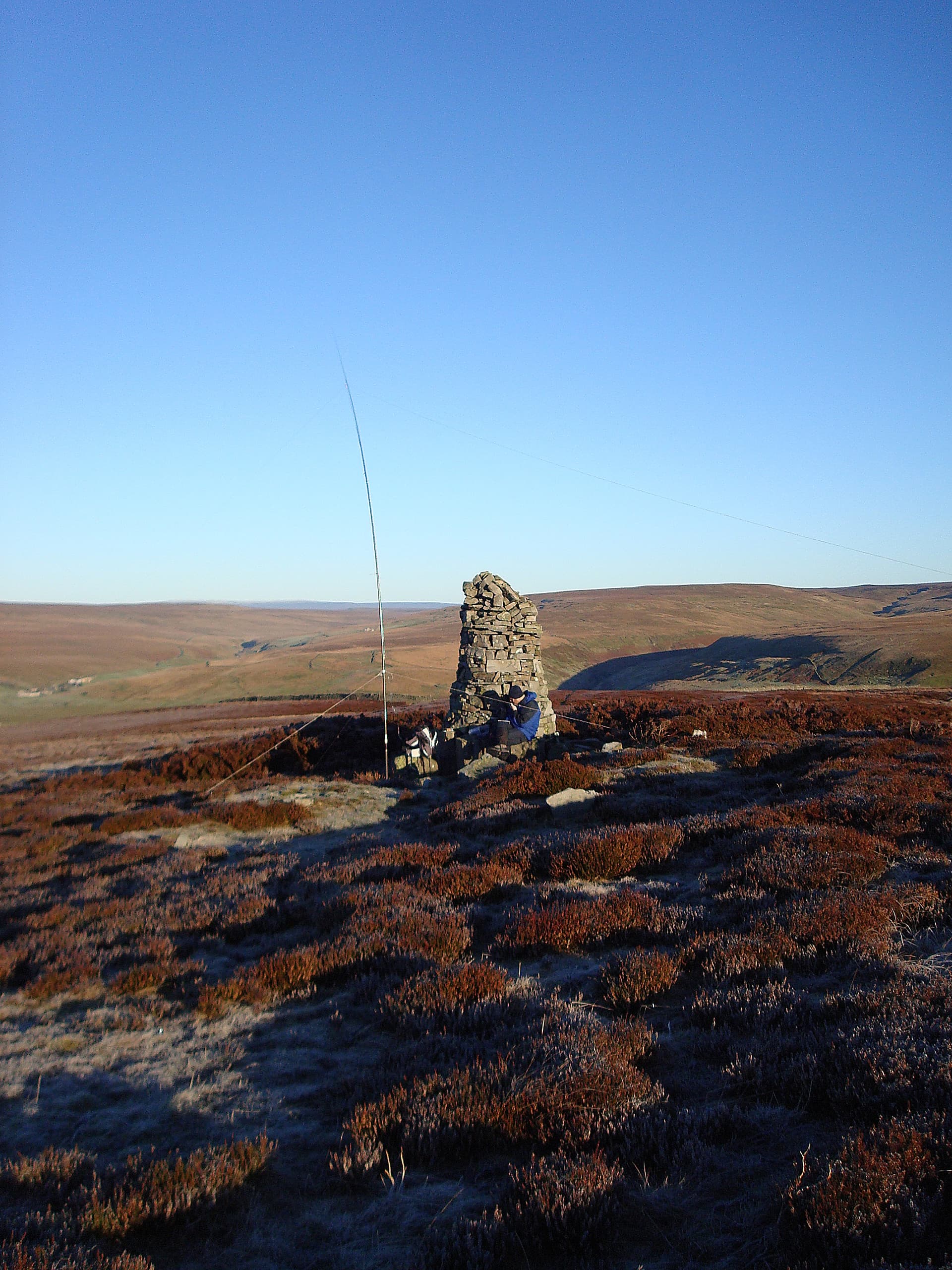
Above: VHF setup. WX deteriorating. More driving drizzle
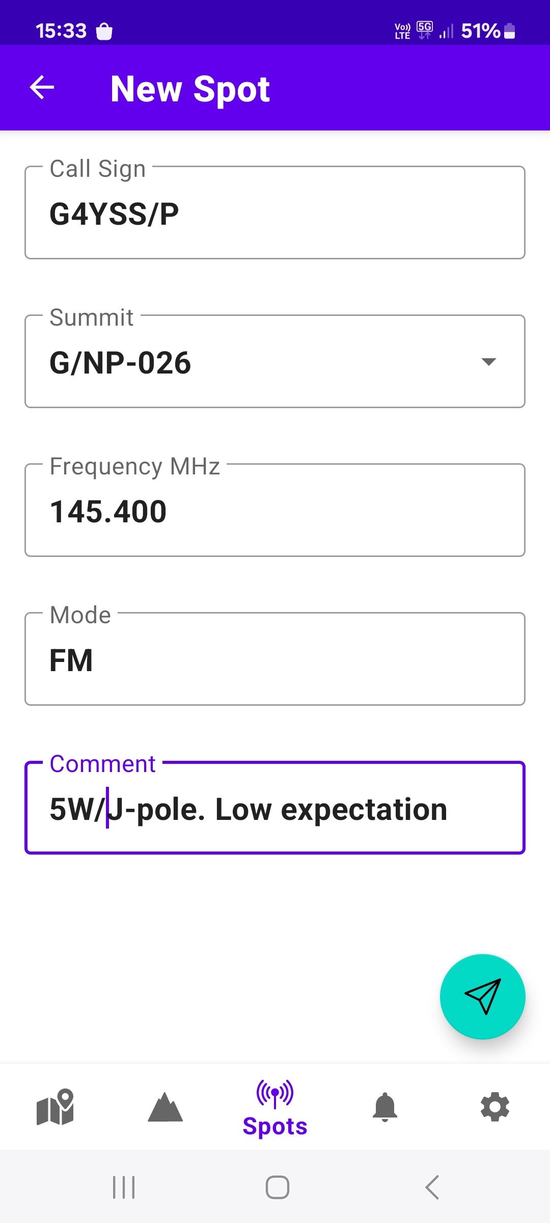
Above: 2m-FM - Low Expectations
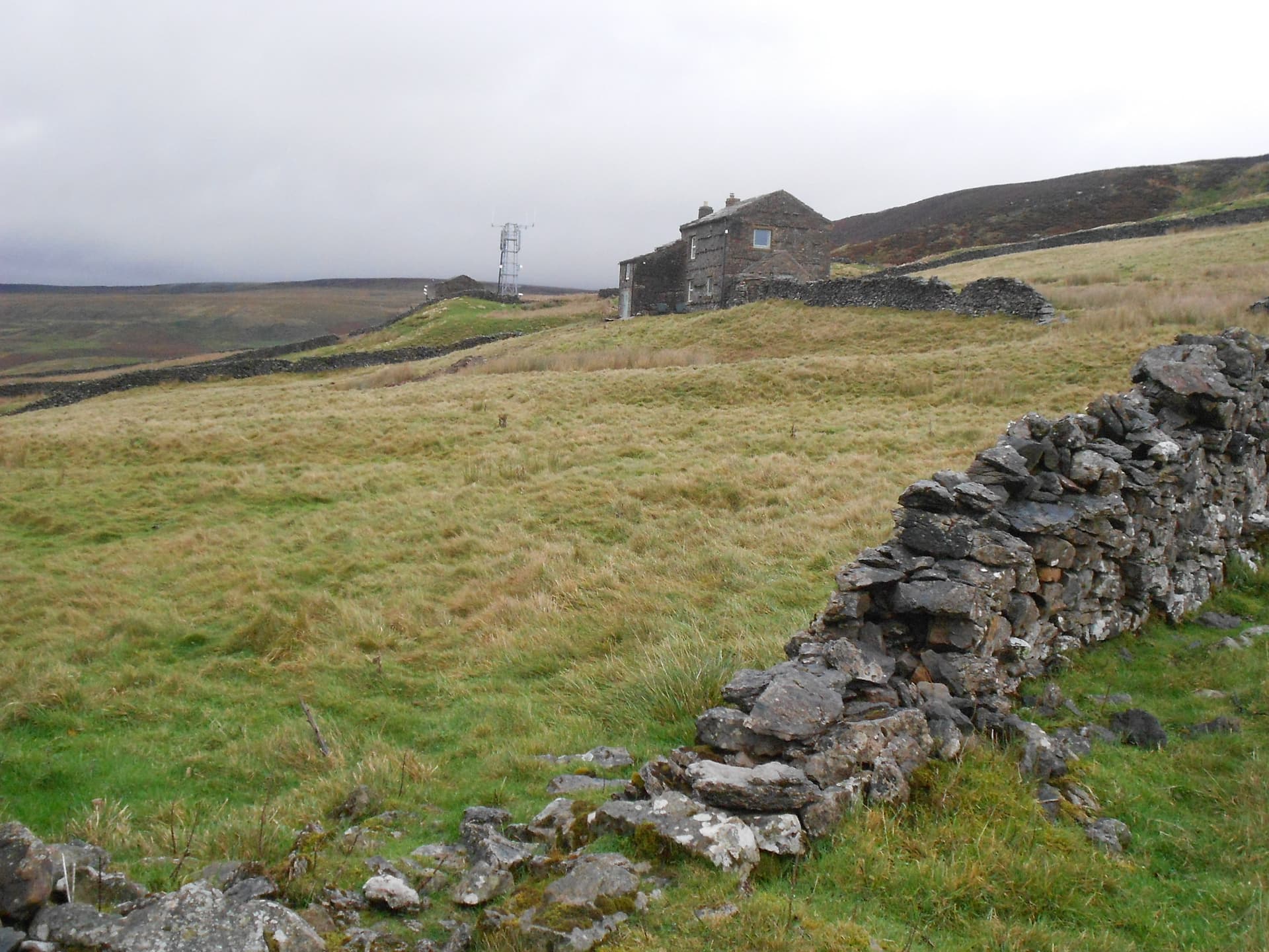
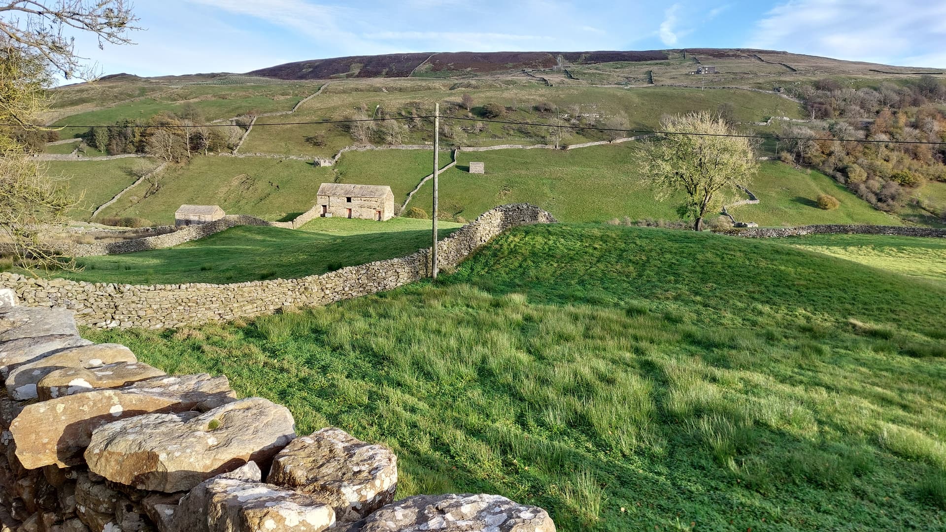
Above: On the way down. House with Mobile phone masts
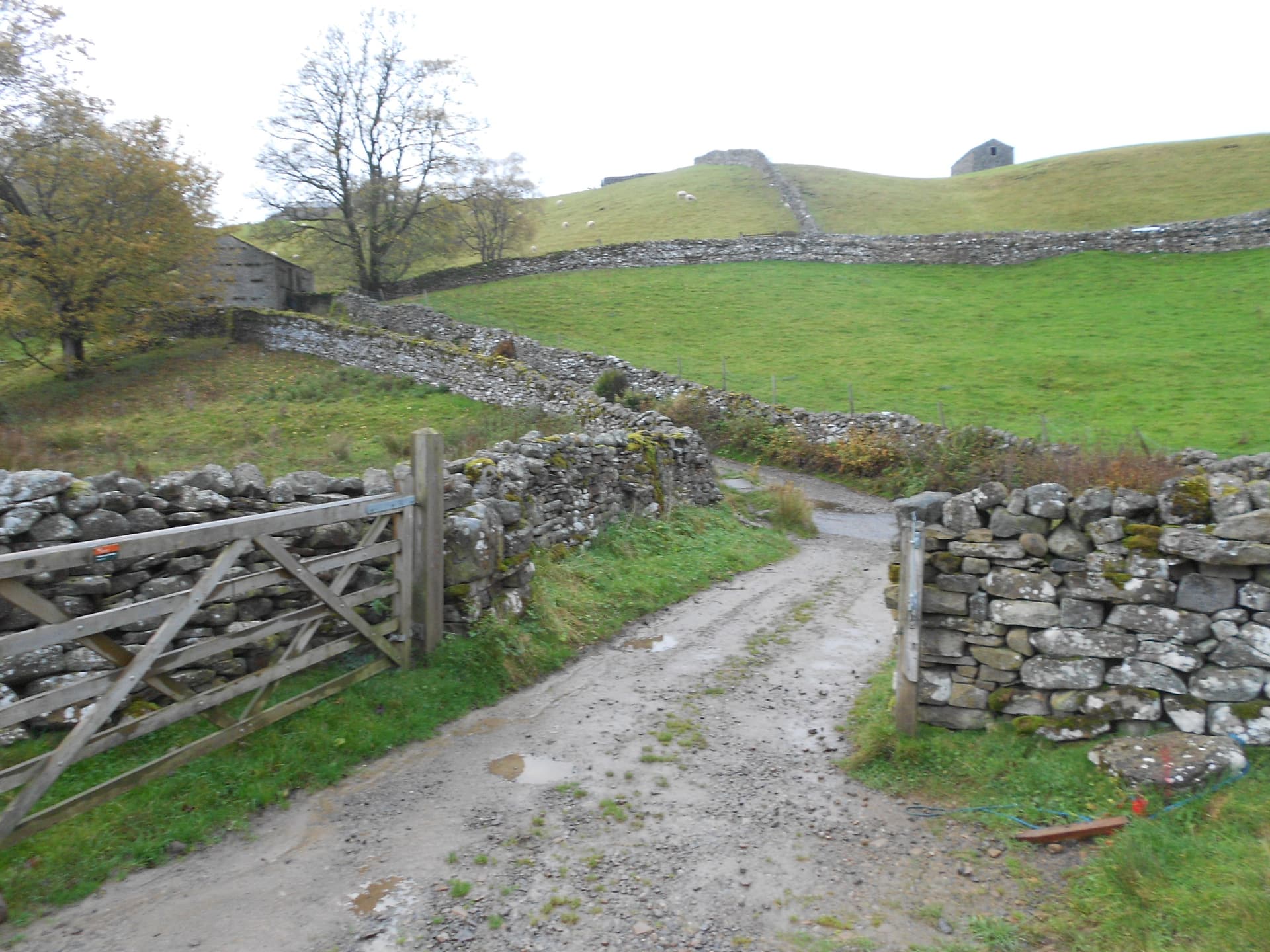
Above: The final approach to the road. Car roof just visible