Motivation
I visited this summit back in 2015, but never wrote a report. I went there for second time and give some useful information to help others just in case.
Activation date: August 18th 2026 .
Also POTA refs ES-0122 & ES-0468 for Obarenes park.
The cli mb
The nearest village is Miraveche. You can drive and park near the exit at 42.6768 N -3.1965 W , or you can drive a bit further on (400 m) and park once the path is not okay for cars anymore, at 42.6793 N, -3.1932 W.
- Trail length: 3,1 km (one way)
- Mountain elevation: 1351 m asl
- Elevation gain from the parking: 550 m
- Time from parking to the summit: 1 h 55min
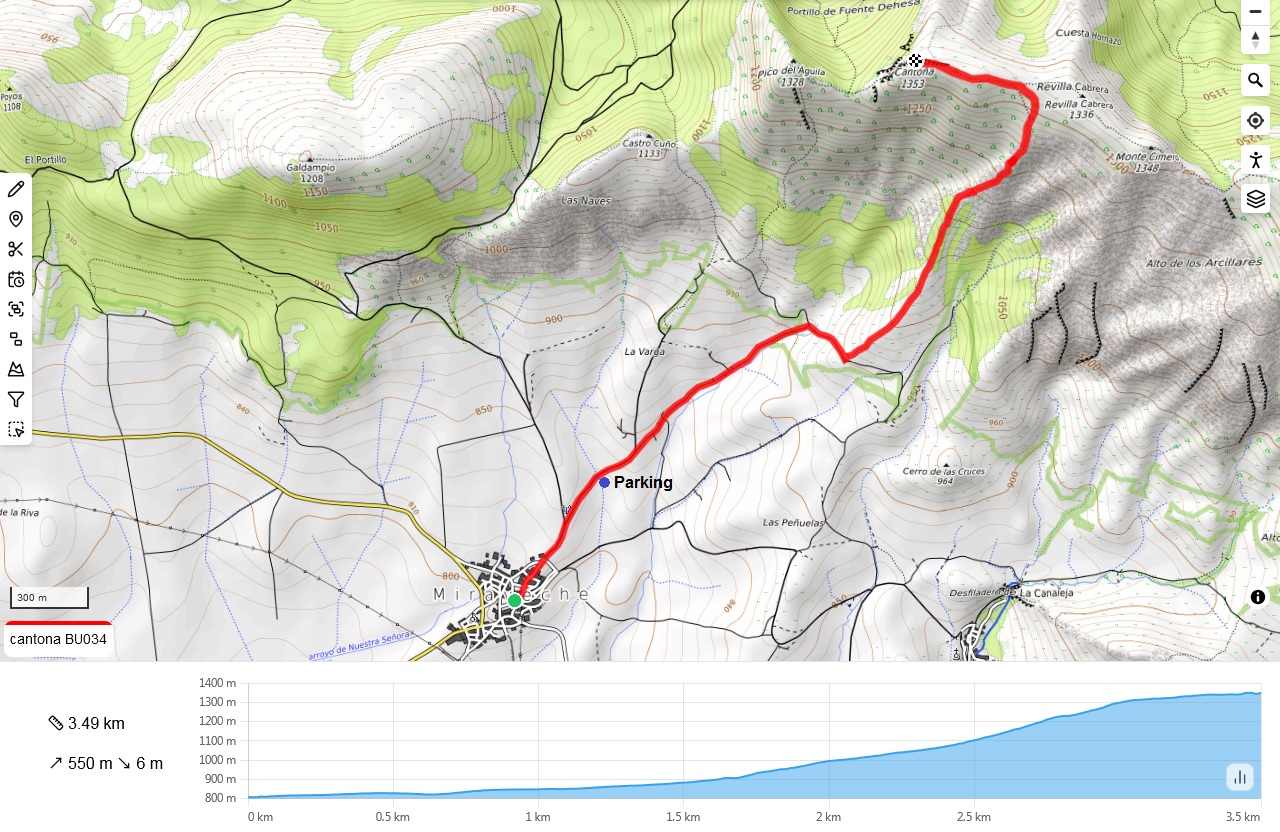
This climb has three sections well differentiated.
First, you approach the base via a dirt road and later a path, passing next some crop fields. Easy.

The middle section starts with a steep path to reach a col, then heading straight to a rocky area. This is where progression gets slower and you have to look carefully at where you step. There are loose stones and you better avoid a wrong step.
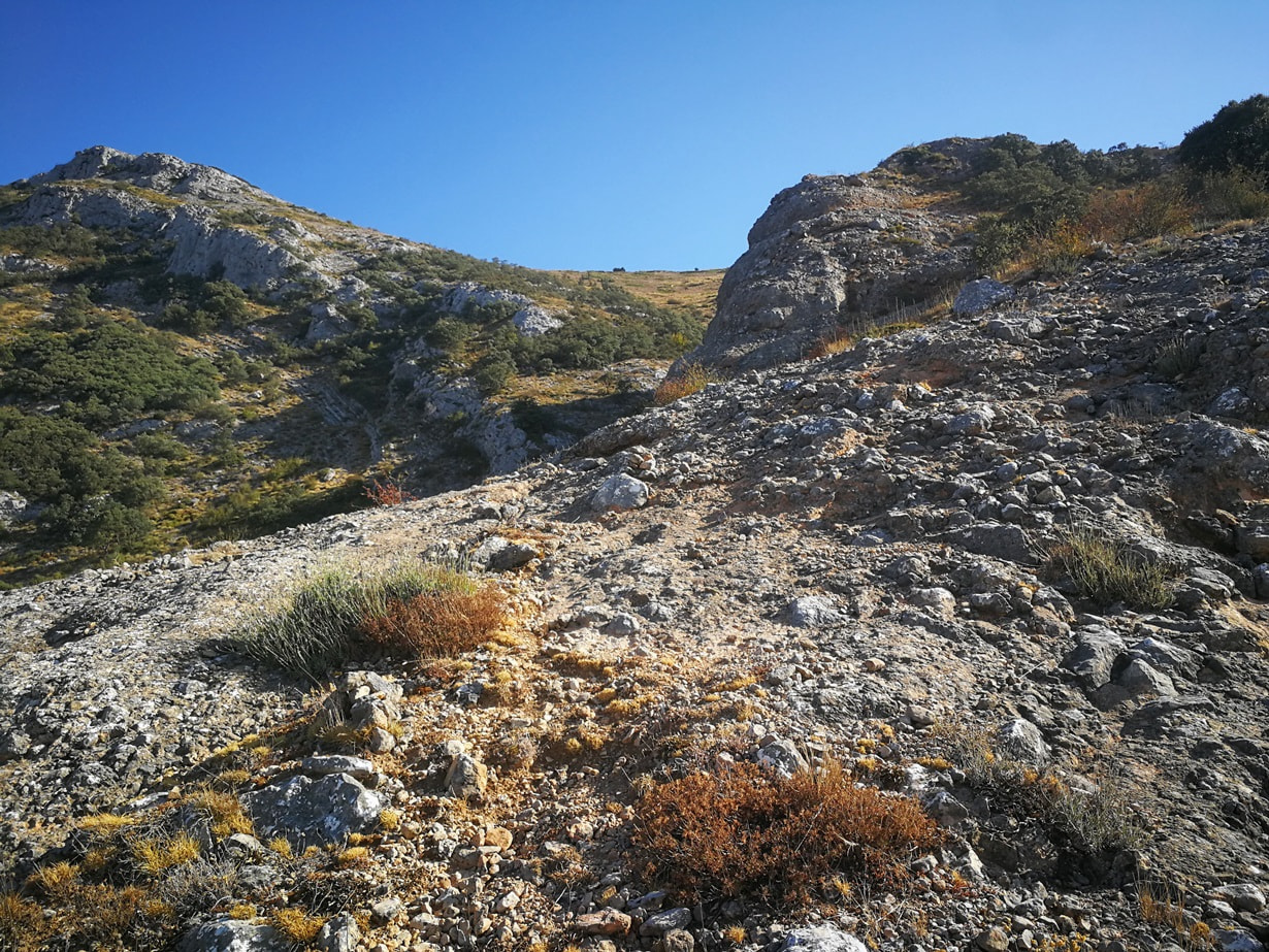
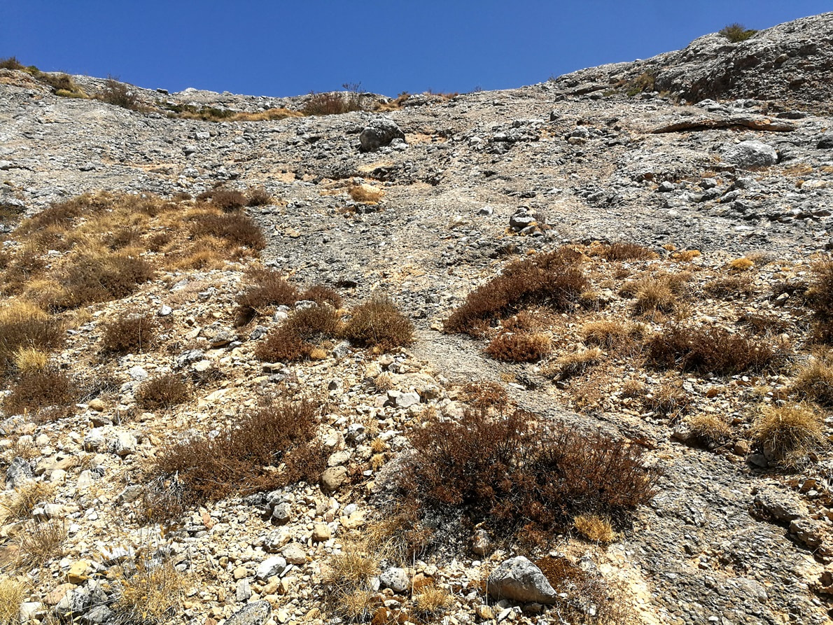
Looking backwards to see the huge height gain over the rocky section:
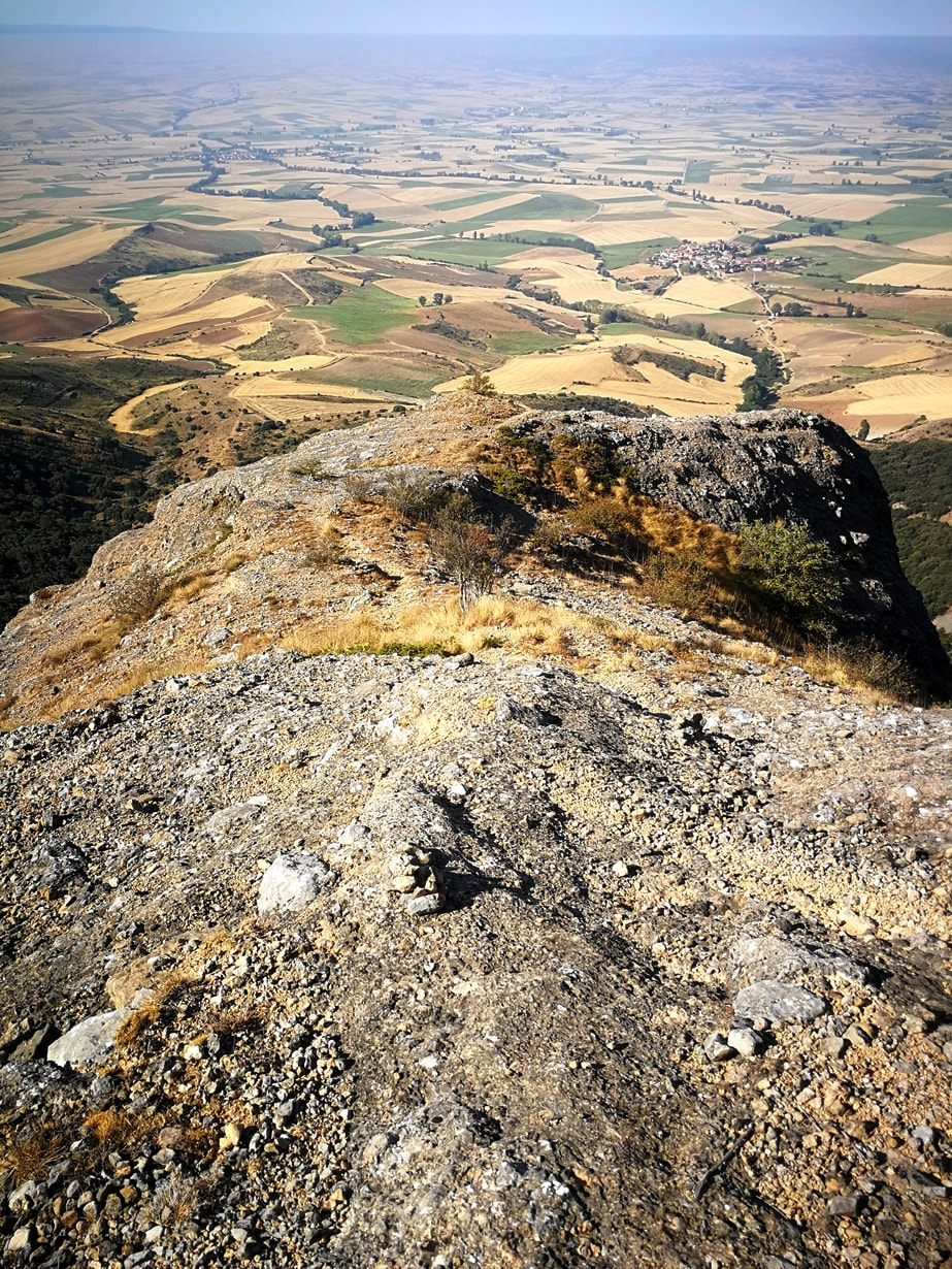
Now we exit the rocks and walk by an easier surface:
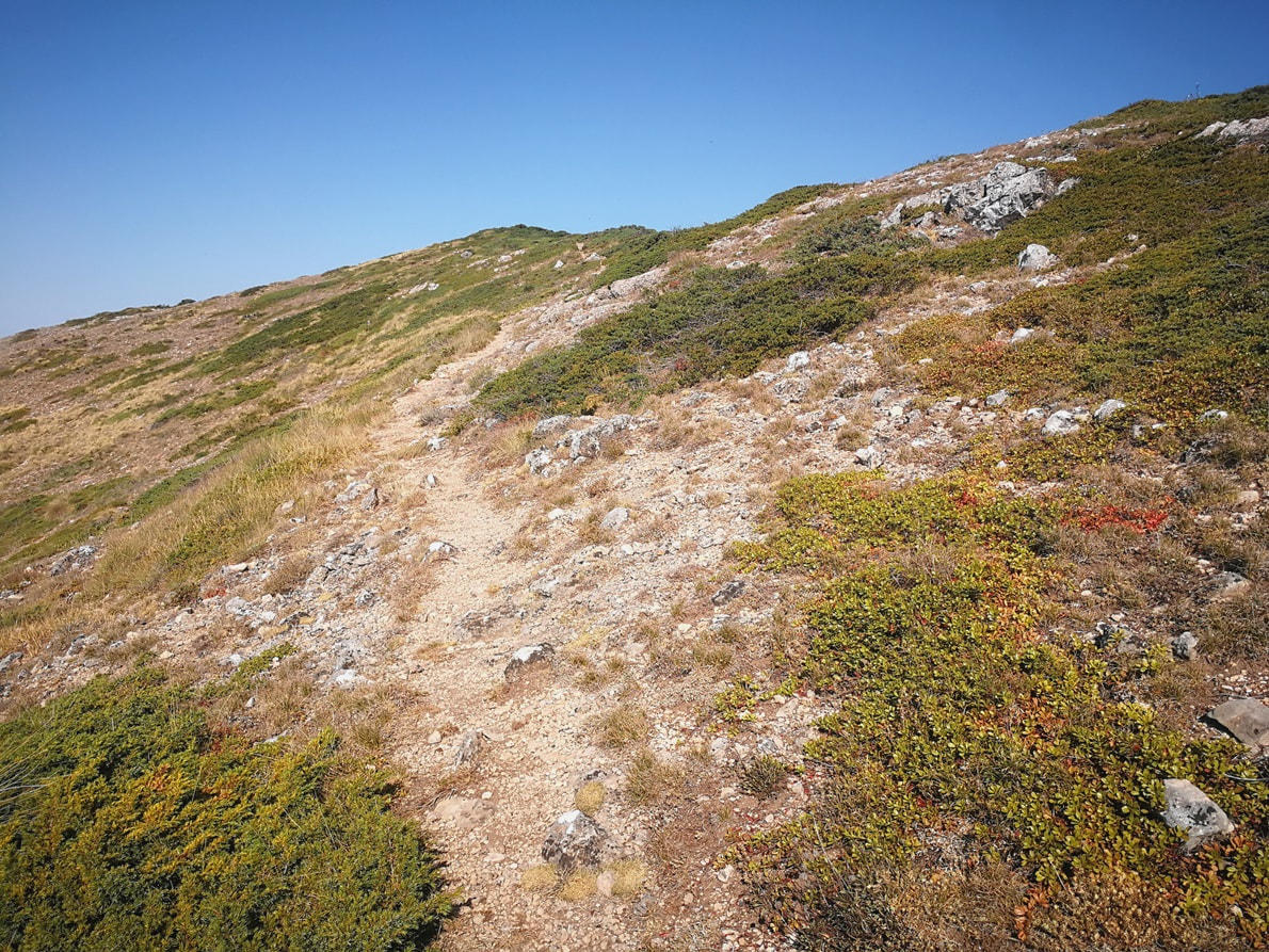
The flatter top part makes you feel there’s gonna be a relaxed ending.
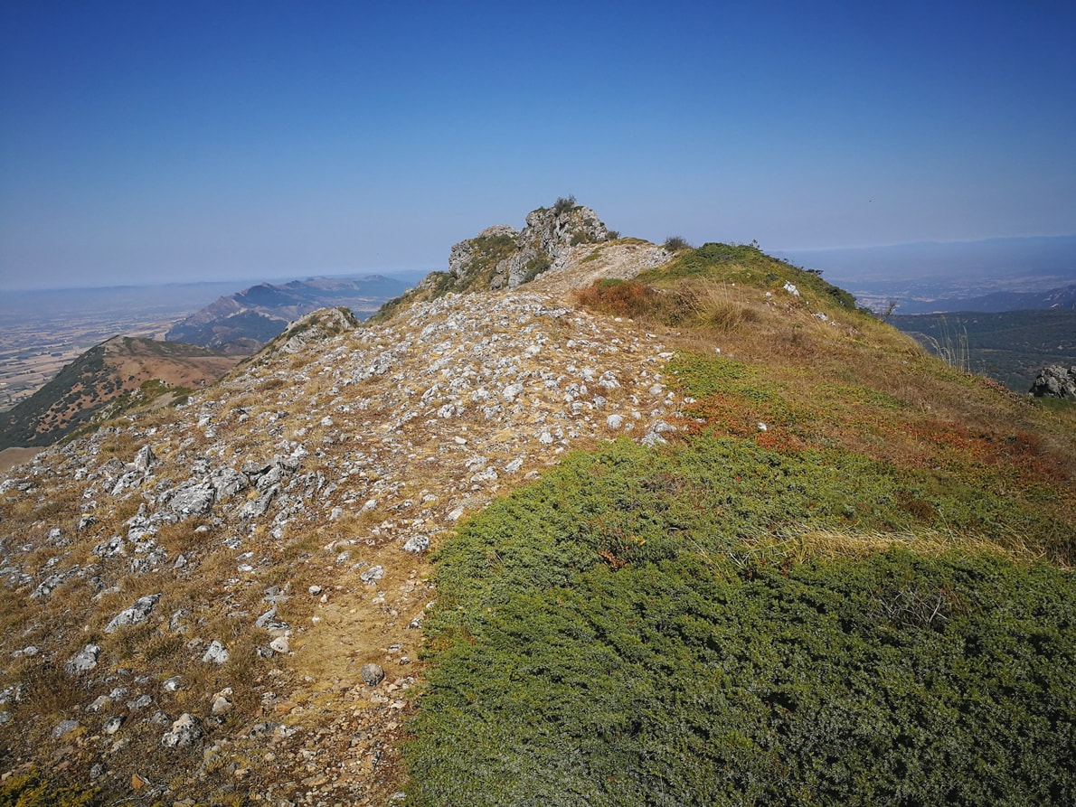
Nevertheless, the last section leading to the summit requires again lots of precaution as it’s a very narrow ridge. Pre-summit:
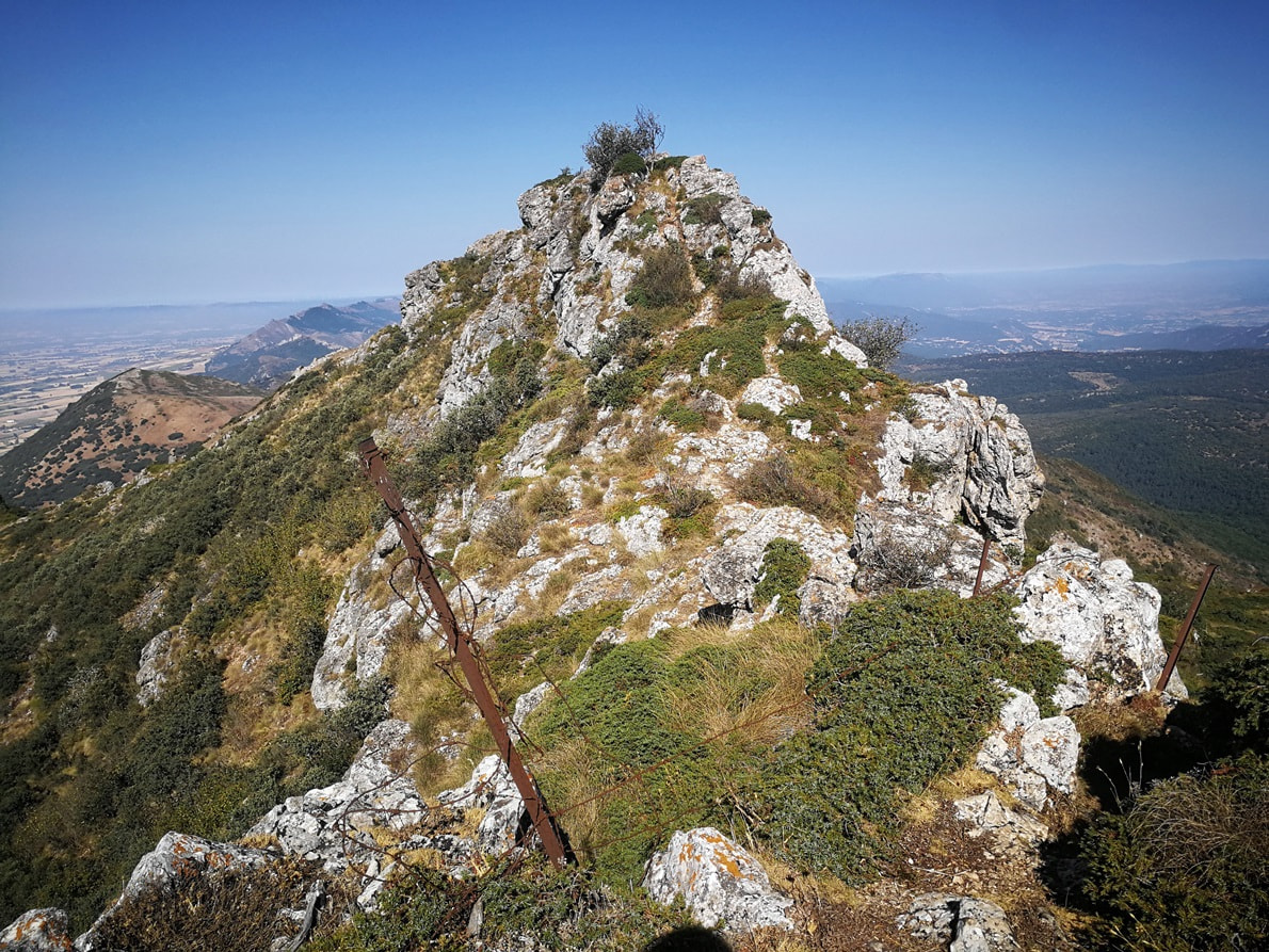
Summit next: mind your step again !
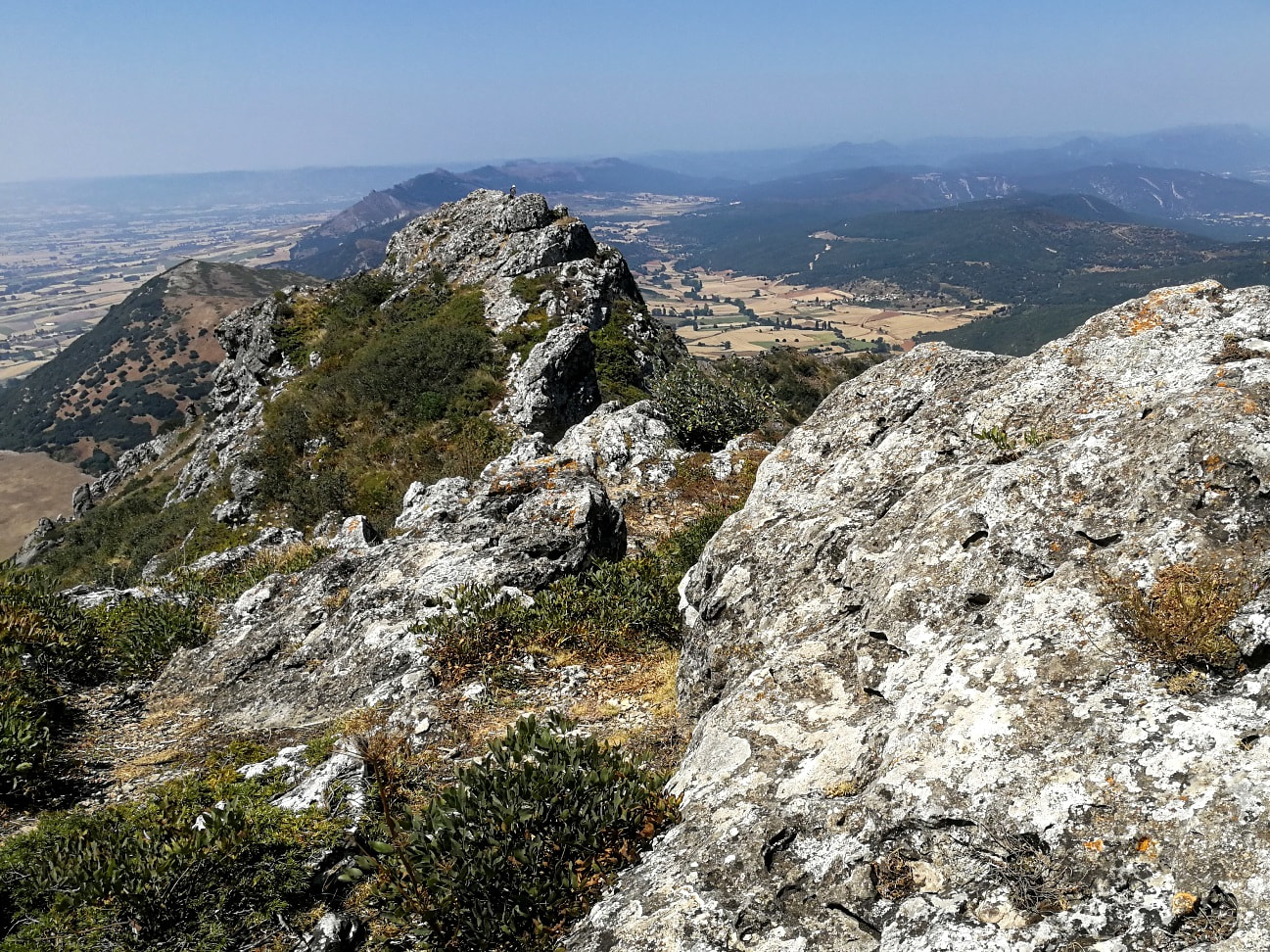
The activation
Being conscious of the narrow space in the summit, I brought again my short vertical 4 meter loaded pole, same as for my last activation. It was easy to set it up and added a single cord to keep it in place. A long wire antenna is a no-go for this summit.
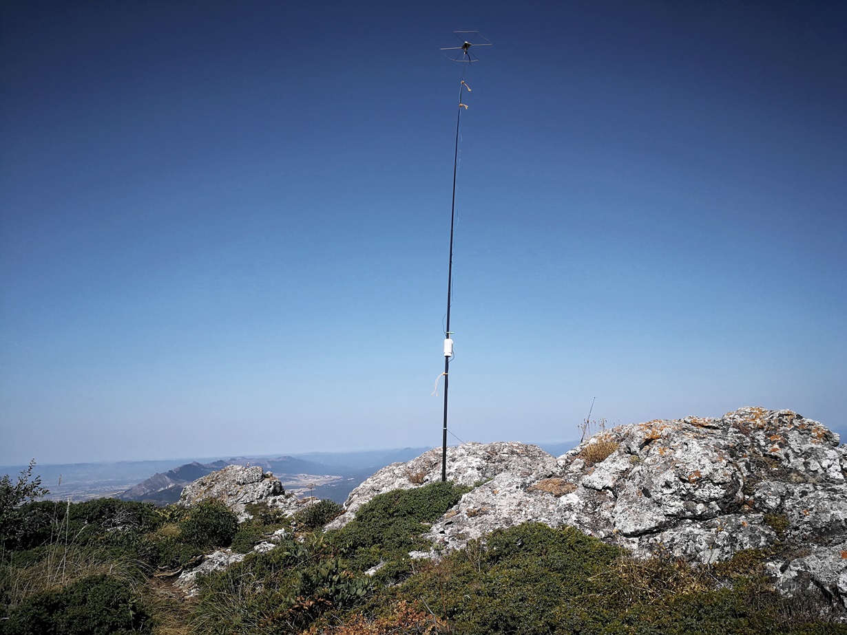
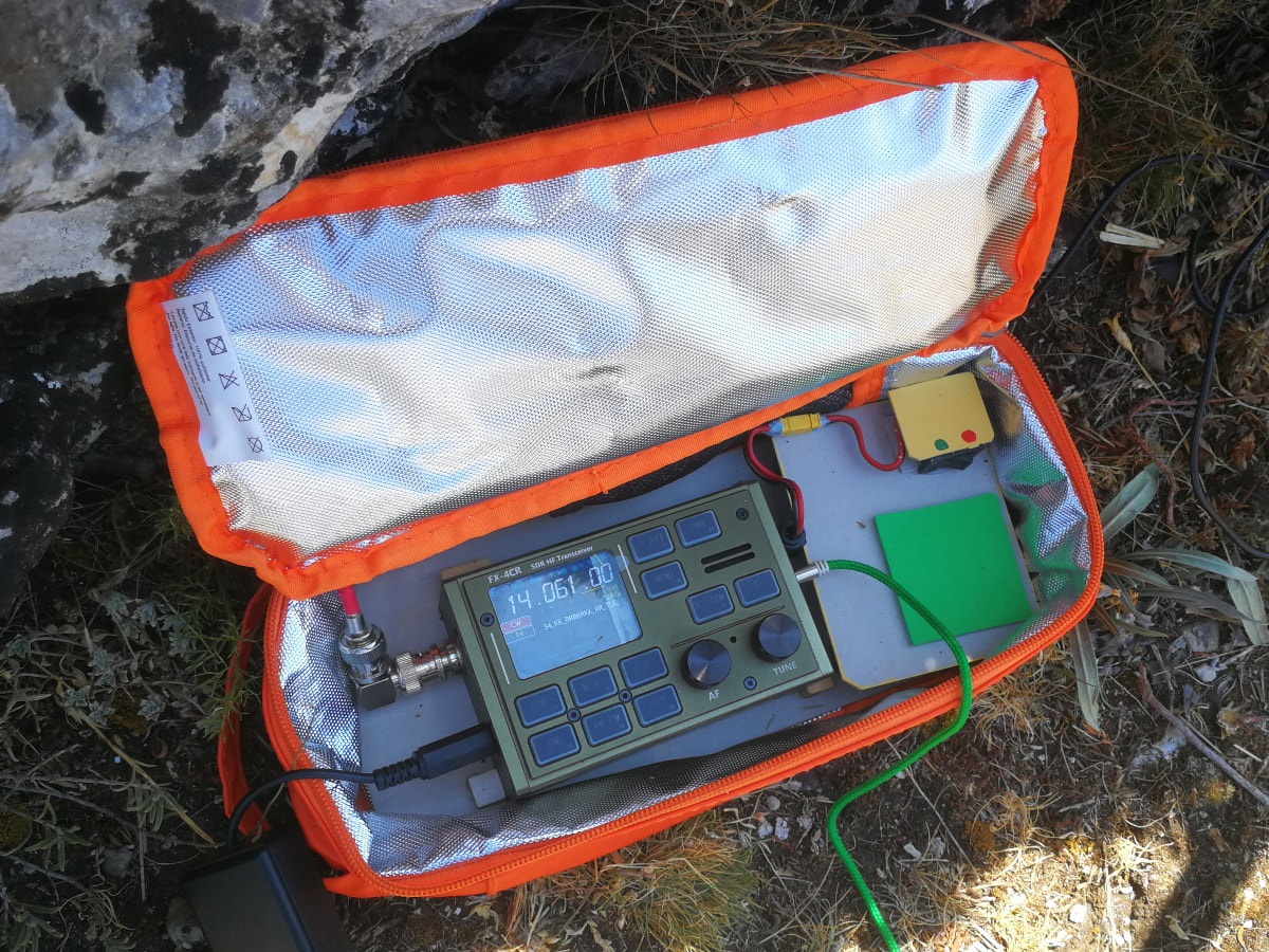
Radiowise, I had my FX-4CR and 3 x 21700 LiIon. The rig plus batteries are arranged inside a lunchbag. Batteries have a mains switch and are pre-connected so the start of operation is fast and straightforward, once the coaxial is just plugged in. Note the plugged battery under a grey cardboard tray at right hand side and the switch on top with On/Off self-explanatory colours:
I logged in 14 MHz SSB & CW and 7 MHz SSB mainly plus a number of VHF QSO. I closed the log with a hurry S2S in 18 MHz without tuning the antenna, thanks Reiner DL/EA4HIH for picking me up in marginal conditions.
All in all, 77 QSO, a good number of S2S and VO1AW as the farthest DX.
The descent was as long as the way up as I had to pay big attention in the steep rocky middle area to prevent from falling.
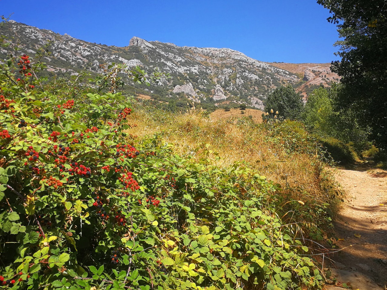
Once I reached the flat path I served a nice pre-autumn portion of blackberry to celebrate a nice day.
Thanks all and 73
Ignacio


