Ah yes, you will have been wondering who’s mast that was as you approached the summit 
It’s a whole new era of SOTA activating for me. Alone. On me Jack Jones. With my trusty companions of the last 14 years tucked up in bed for their weekend lie-ins.

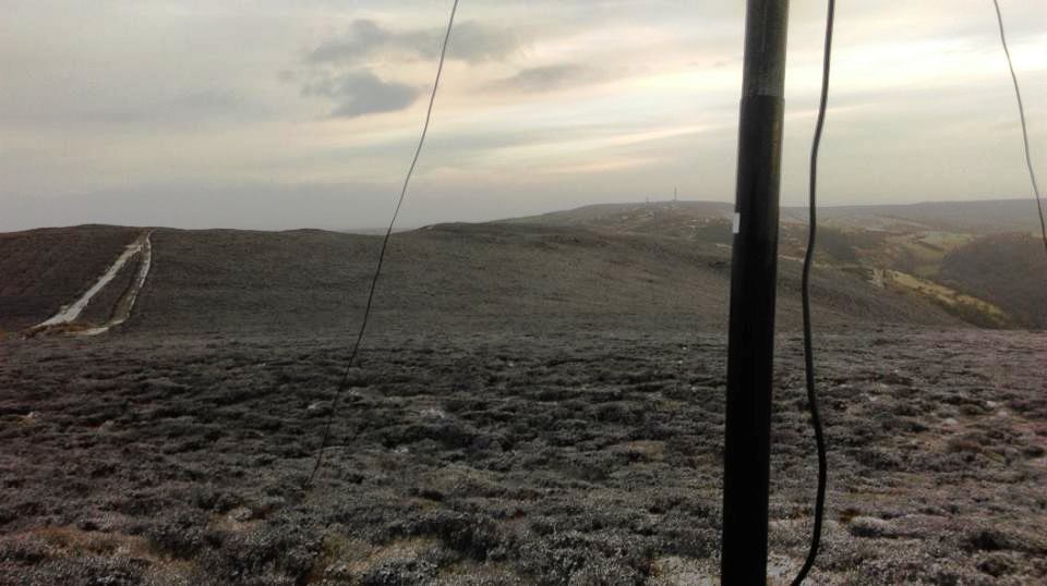
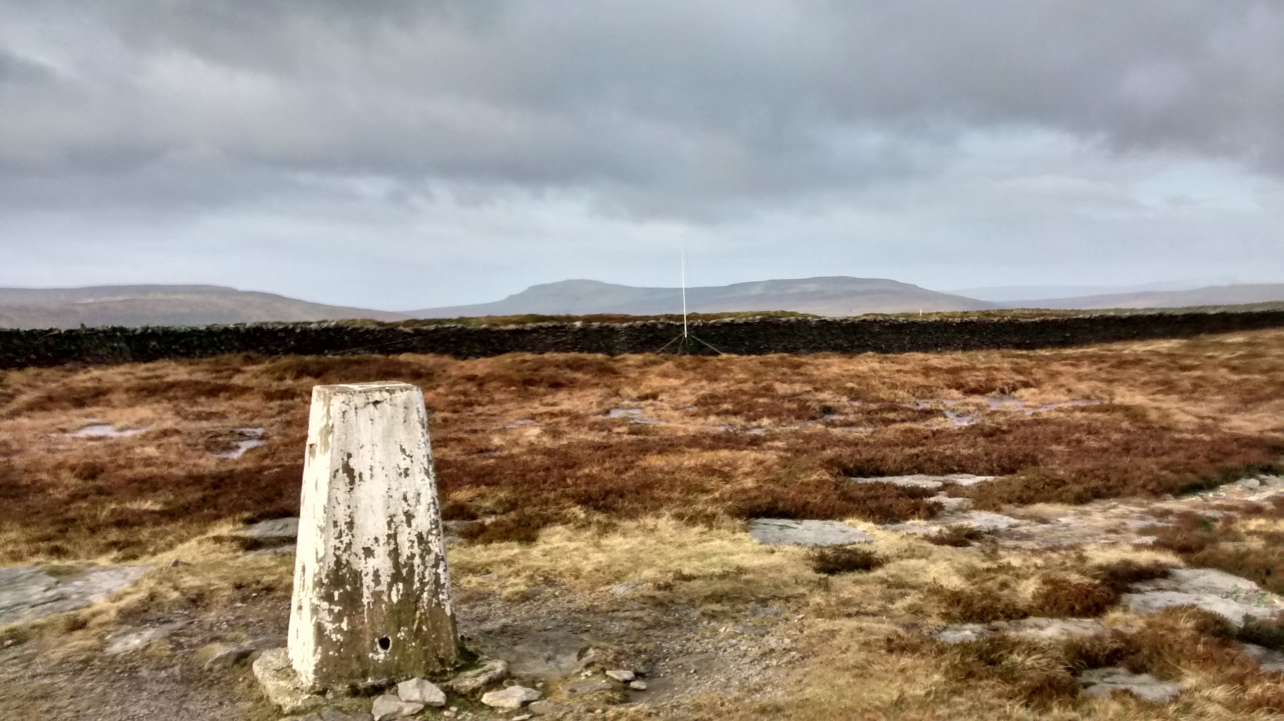
The walk-in to Black Hill G/SP-002 summit seemed ever so easy without the presence of either snow or ice, that normally greets me for my January or February activations. But with the temperature nudging 10 degrees, even up above 500m ASL, it was decidedly mild.
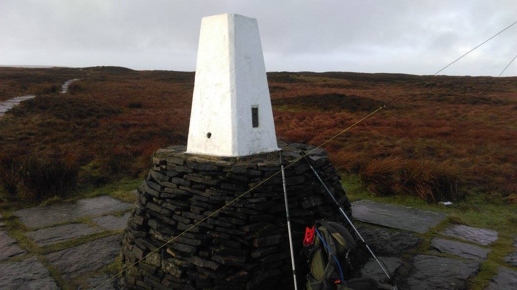
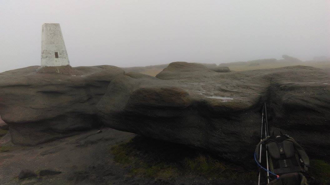
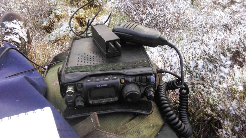
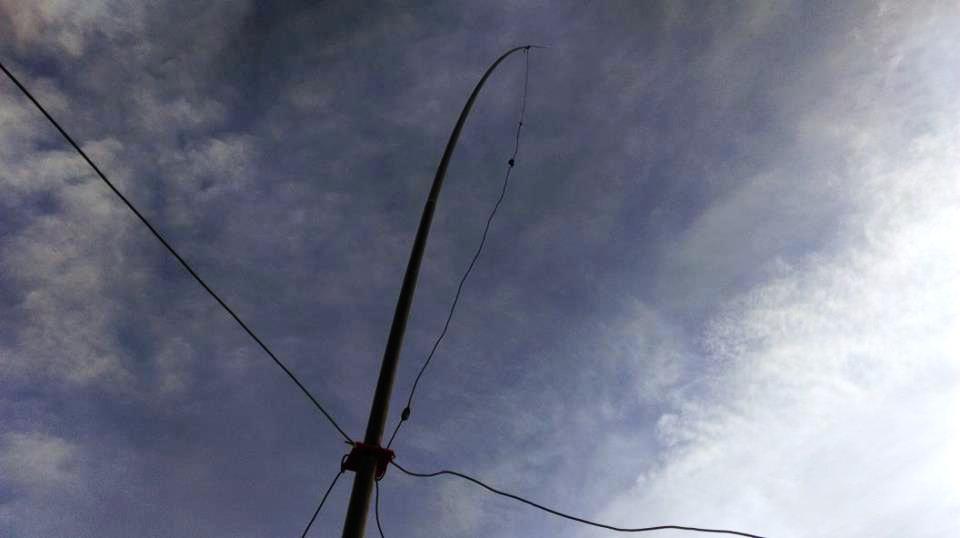
However, there was a cold breeze at the summit, so I made full use of the large drystone base to the trigpoint for shelter. Up went the 10m/6m trap vertical + GP - which allowed me to discover the total lack of conditions on 28MHz! I hadn’t alerted, couldn’t self-spot due to no data coverage up there, and of course the RBNgate was not operational (RIP Eric KU6J).
I soon found Mark G0VOF and Phil G4OBK, so it would seem one of my spot attempts did get through, even though it appeared otherwise according to my phone! Just 8 contacts were made, 4 each on CW and SSB.
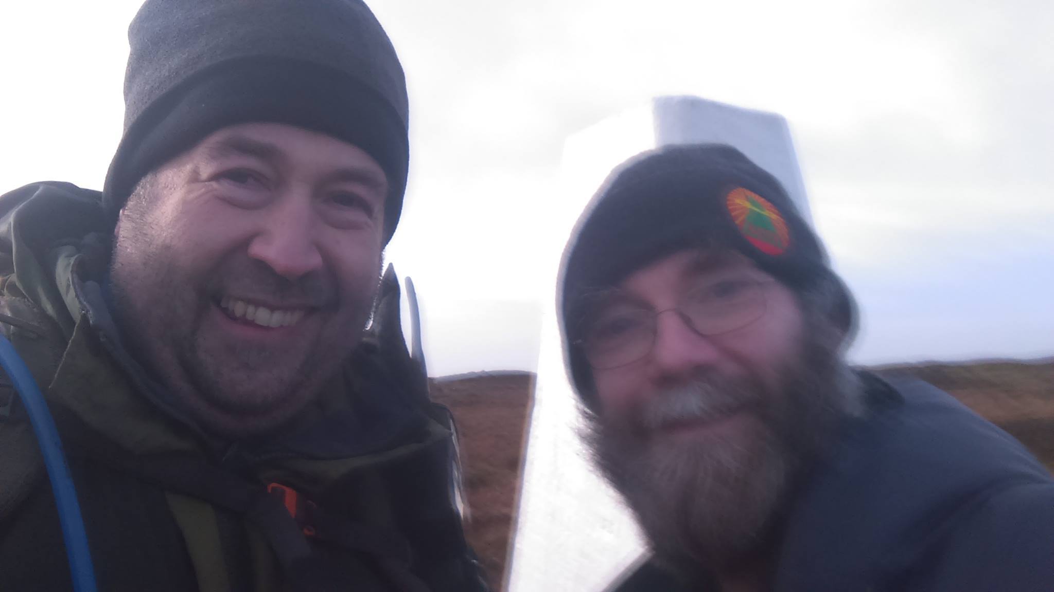
Then over the heather came Simon G4TJC, which was a pleasant surprise. We had an enjoyable natter for 15 minutes or so, then I decided to call it a day and leave Simon the summit. The rest of Saturday revolved around Macclesfield Town v Aldershot (at which I was honoured to meet and speak to the five year old son of Fusilier Lee Rigby), ten-pin bowling with Jimmy & Liam, and Celebrity Big Brother!
I was in the mood for a “proper walk” for the morning of Sunday 24th January 2016, so I decided to do Kinder Scout G/SP-001 while Marianne was preparing to go out to work a late shift, and Jimmy & Liam were enjoying lie-in #2 of the weekend. I set my alarm for 5am, knowing that gave me a head start of 7 hours before any of the aforementioned three would emerge from their bedrooms!
For some strange reason, I decided to repeat the long approach from Rushup Edge. I’ve really no idea why, as it is mostly dreadful underfoot. It’s all very damp bog. There is a clear “path” that has been eroded into the peat - but I assess that it’s far too dangerous to try walking on!
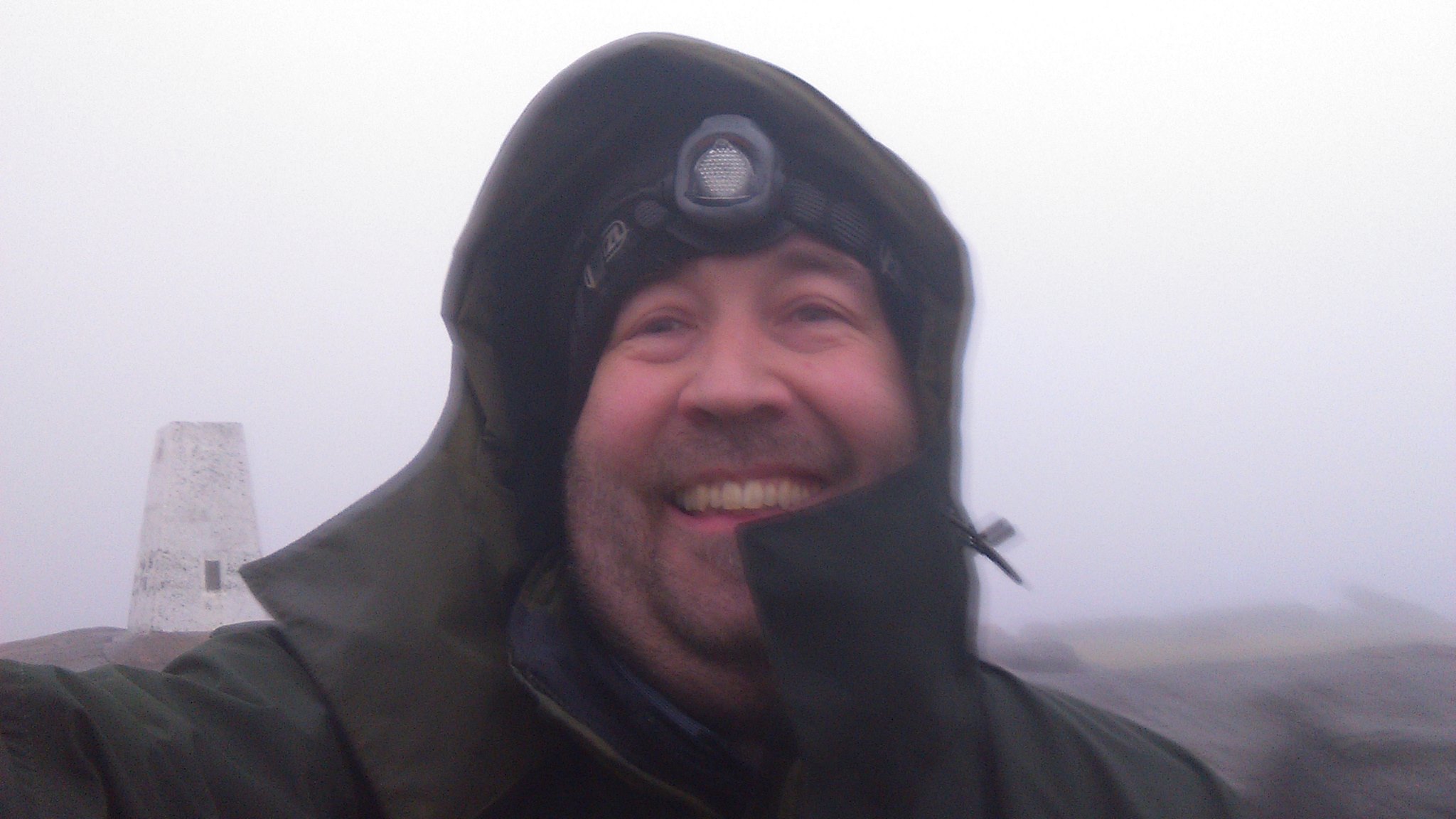
I was walking well before daybreak, and the first 90 minutes or so would be by headtorch. In thick fog as well, on featureless terrain like this, this was “challenging”! My first strike out onto the moor after leaving the bridleway did not go well - I found myself back on the bridleway within minutes. At first I was surprised to see the track as I wan’t expecting it! I pulled up the “UK Atlas” app on my phone, which was working well with the GPS signal, and my current position pinpointed me, so I could see exactly what I had done! I fixed a direction and tried much much harder to walk in a straight line this time!
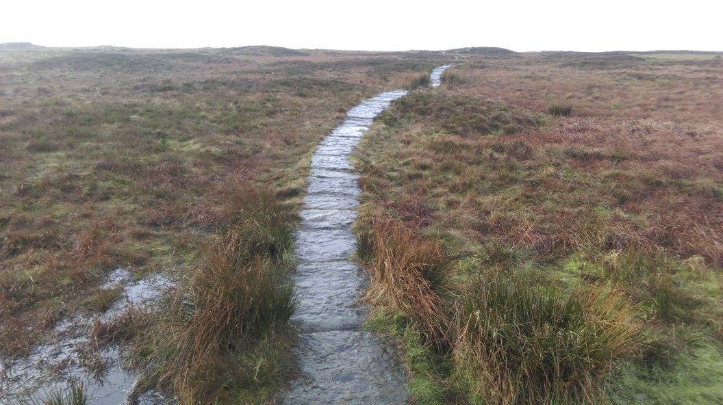
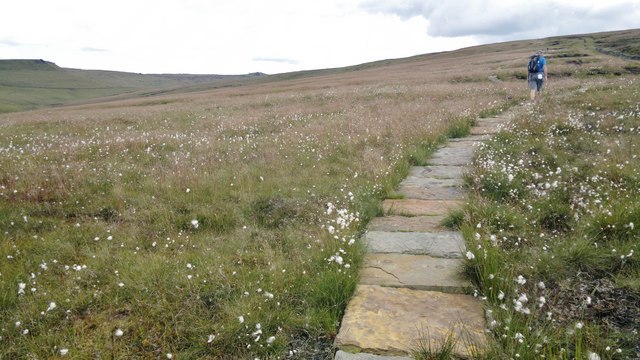
An hour or so later, and at last in daylight, I walked past the trig point on Brown Knoll. I knew that a few more metres and I would be onto a flagged path virtually all the way to Kinder Low. Upon reaching this path, I was interested to see the laminated notices about the footpath restoration project. It seems that by April 2016, there will be a continuous flagstone path from Chapel Gate on the initial bridleway, all the way to the point where I was now stood, just beyond Brown Knoll and by the flagged path towards Kinder. That would change the game completely, and turn this long strenuous route into a long easy route!
After a short stroll down to the Pennine Way, I was on familiar territory for the final ascent. Like yesterday, I had no phone signal, and of course, no RBNgate. I started on 2m FM using the 6m/10m trap antenna and made several QSOs. One of these was a known SOTA person - Alister M0BKQ in Leeds, who kindly spotted me on the 10m CW frequency I advised.
Just three QSOs were made on my 28.022MHz CW frequency before I started searching and pouncing. There were some conditions - a VK8 could be heard CQing clearly. I didn’t get anything as exotic as that, but did add stations from Cyprus, Russia and Turkey to my log.
After more back-and-forthing between 10m and 2m (and my flask of Baxter’s Chicken Broth soup), I worked a few more stations, all G’s. I finished the activation shortly after 11am with 23 contacts logged:
10m CW: 6
10m SSB: 5
2m FM: 12
The walk back to Brown Knoll was fine on good paths, but then I face the long slog (paddle) over to Rushup Edge. In daylight, and decent visibility this was much easier and faster than the outward leg, but still hard work. Well I thought it was. The youngsters running it in trainers and flimsy pieces of lycra seemed to make extremely light work of it, jumping over bogs as though acceleration due to gravity had halved. I reached the car at 1.30pm, and was home by 2.15pm. A good work out, probably about 10km.

3 Likes
Details of the soon-to-be-constructed path from Chapel Gate to Brown Knoll. This will make this a viable route to SP-001 for all, not just gluttons for punishment like me!
…and eventually there will be a bus service!
I can’t help feeling that all these nicely constructed footpaths are taking something away from the hills, taming them. This saddens me.
Brian
The alternative that results from the ever increasing numbers of walkers, is the devastation of existing paths and their surroundings. The areas surrounding the Cheviot summit were reduced to a massive and rapidly expanding mud quagmire. The laying of a path by the Northumberland National Park has achieved a degree of stabilisation and cotton grass replanting is progressively returning much of the area to its former state. Paths are generally not laid just to make things easy but in attempt to maintain the environment under increasing visitor pressure.
Jim
former NNP VR
I agree Jim. Far from “taking something away from the hills”, this project is designed to allow the hills to return to their previous unspoiled state.
Give me this:
…in preference to this:
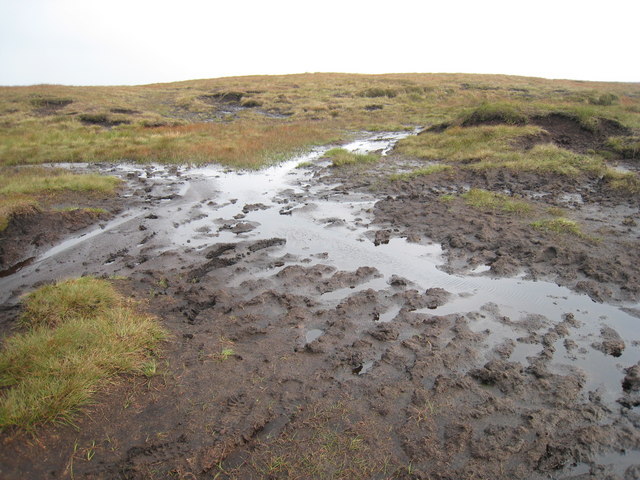
…any day. (Both photos in the vicinity of Brown Knoll).
1 Like
This is, of course, true, but although the gains from these paths are obvious, the loss remains that they are blatently artificial and to me look far more out of place than the mud wallows that they replace.
Erosion is itself natural, the hills are themselves monuments to erosive processes operating over many thousands of years and still ongoing today. They are not eternal, they change and evolve slowly. Recent damage from heavy rain in the Lake District shows that hillsides can still be stripped of their superficial and vegetation layers by natural processes without human intervention. Earlier examples familiar to some of us include the spread of boulders and gravel near Brackenclose in Wasdale caused by a cloudburst several decades ago.
Brian
Of course it is and we as evolutionary humans are simply part of that natural process, except that instead of being passive, we have intelligence. So I see it as our responsibility to use our intelligence to counteract our impact where we believe that is desirable rather than simply accept that we are screwing up the environment.
You need to see what they’ve done with EI/IN-006.
24 minutes in.
Pete
And the intelligent answer counteracting our impact is to remove the impact by not going there! ![]() (No, I’m not advocating that!)
(No, I’m not advocating that!)
I don’t have an alternative to offer, but those slabways look regrettably artificial and out of place, and the regrettable should be regretted.
Brian
…so what is your preferred option Brian?
- Slabbed path and the area allowed to return to its natural state?
- No slabs and the continued heavy erosion. (This section of moor is about 2 miles across and the boot erosion effect was 100m wide in places - and so bad that it was too dangerous to walk on and so I contributed to widening further that erosion by walking on the edge of the vegetated area).
- Walker access withdrawn.
This path will eliminate most of the damage to the landscape, while retaining an open PROW - which will be much more pleasant for all but the purists. I can’t regret that.
I know where you’re coming from, but as you’ve acknowledged, the other two options of either the continued erosion damage to the landscape, or not being allowed to walk there any more, are much worse.
3 Likes
I have empathy with all comments, and I wouldn’t enjoy walking the path featured in the link posted by Pete. The boards will weather, but it will still be a monotonous plod, I think. (Better than having no access, though)
On the other hand, many of our uplands are the product of land management for grazing. They wouldn’t naturally be devoid of trees and scrub - except above the treeline, obviously. What we feel comfortable with is what we are used to in our lifetimes, not what is “natural”, necessarily…
Adrian
G4AZS
Had a couple of so-called portable stations say “Oh I see you’re as mad as me going out portable in this weather tonight”. I wasn’t impressed, and told them that their ‘portable’ and my ‘portable’ were two very different animals!
I was umming and arring right up until teatime about whether to go mobile up Merryton Low or stay at home and use the shack and the WiMO Big Wheel. The wx forecast was dire with gales, big gusts and light rain until 9pm and heavy rain thereafter.
After a wonderful dinner of Swedish meatballs and pasta, it still seemed to be unexpectedly calm outside. I knew it would be worse up at 343m ASL, and I knew it would get worse later into the night - but nonetheless I had a change of heart and decided to activate proper portable, SOTA-style, from The Cloud G/SP-015, and try to take advantage of expected low turnout - especially portables.
The low turnout did mean that the QSO rate was rather sluggish, and conditions were poor as well which didn’t help. Nonetheless, I was perfectly comfortable hunkered down against the topograph on the summit, and there was no hint of rain for the first 90 minutes, even though the skies looked threatening. The temperature was very mild at 11 degrees, and while it was breezy and gusty, it was nothing that my SOTAbeams rotating guying kit wasn’t up to, even with the large SB6 6m Moxon on the fishing pole.
I finished with 60 QSOs, and just 9 multiplier squares: IO64 (GI), IO74 (GD) and IO81,82,83,84,91,92,93 (G/GW). One GM station was heard but I could never find him for myself. Fellow Tall Trees CG members worked were G3UJE, G3KAF, M0VAA, G3RKF, GW4ZAR and G3UFO.
It did rain very lightly, just a damp mist coming in really, about 10pm, but it was soon over. The anticipated appalling weather never really happened. I have been telling Jimmy for years never to be overfearful of weather forecasts; I should heed my own words sometimes!
Anyway, hopefully a few of those 6m contest stations worked last night will be new uniques in the current SOTA Challenge!

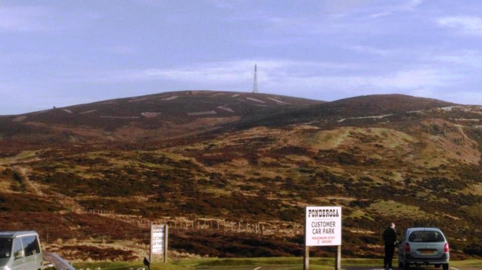
I invited a total of five different people to join me on my “Ponderosa Pair” walk on Saturday 30th January 2016. All five turned me down, so I went on my own!
After an early start, I arrived on Horseshoe Pass still under darkness at 6.58am. The cafe was closed and the car park gates locked, so I parked on the rough ground opposite. With day about to break, I didn’t bother putting my headtorch on and got cracking with the initial slog up Moel Faen - always a tedious start to what always then becomes one of the best SOTA days in the UK.
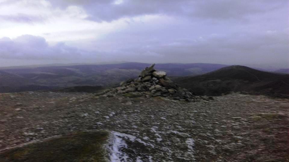
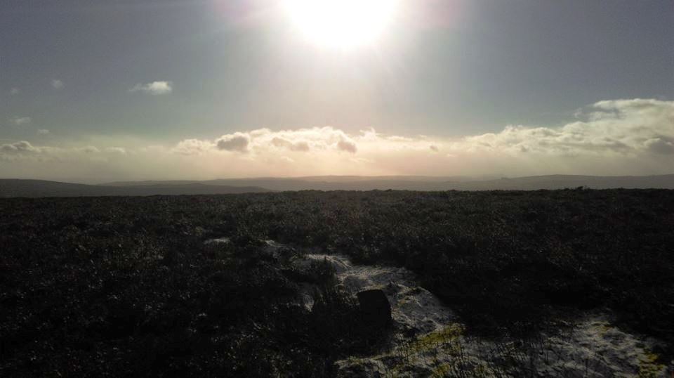
The steep descent from Moel Faen needed care on the frozen ground, but thereafter, it was an easy and pleasant walk up to the summit of Moel y Gamelin GW/NW-042. There was a covering of snow in amongst the heather cloaked hill, illuminated both by the sun in the East, and the moon in the west. The tail end of Storm Gertrude was felt in some icy westerly winds, from which I sheltered by setting up on the lee side of the summit mound.
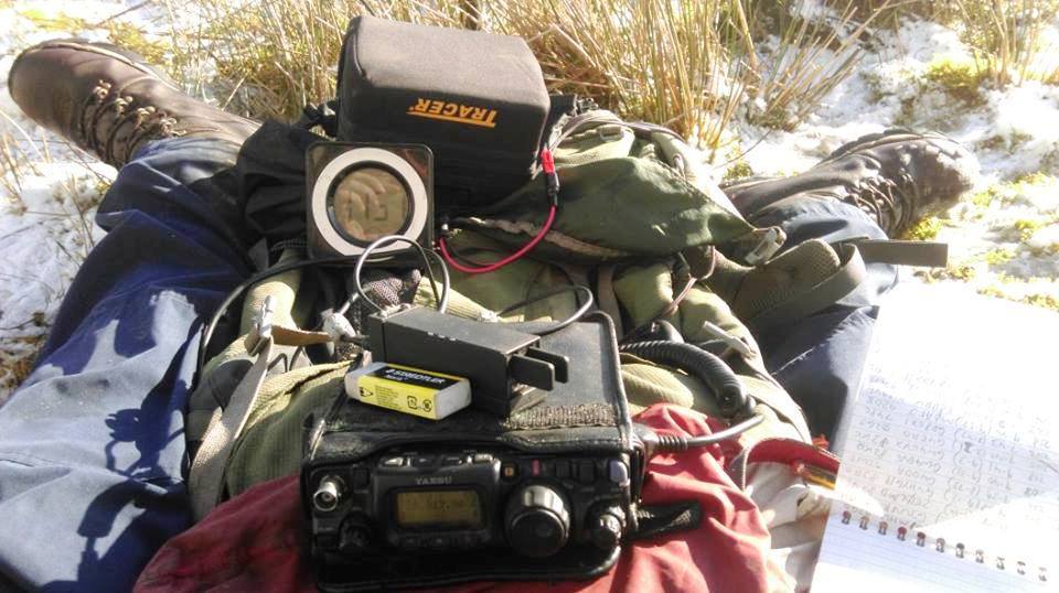
There appeared not to be any conditions on 10m, so it was a case of working people on 2m and seeing who could be persuaded to do a cheeky QSY. Matt G8XYJ tried valiantly to make a 6m SSB-CW mixed mode QSO with me, and the contact was all but complete. Matt could not get his report though. The nearest he got was when he came back with “I think it’s either 58 or 59” - but that was as good as it got, so no completed contact, sadly. BTW Matt - it was indeed 59 I was sending you.
G4APO came up on 28.017MHz CW, and then, to my surprise, OH9XX, so I bagged the all-important Challenge multiplier. In addition to the two 10m CW QSOs, I also made four 2m FM contacts, and one 6m SSB QSO.
It was then time to pack up and walk back to the Ponderosa for some grub.
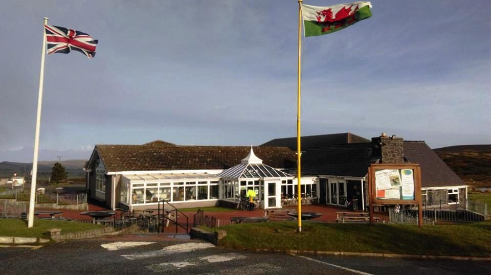
Checking in at this cafe at 10.20am was a new experience for me, and meant that I wouldn’t (for once) be having the traybake steak and kidney pie with chips, 2 veg and gravy! The lunch items are only served from 11.30am you see.

I was not a bit disappointed with an excellent full cooked breakfast and pot of tea. It was excellence on a plate yet again from the legendary Ponderosa, and all the staff there are very nice people too.
The walk up Cyrn-y-Brain GW/NW-043, from behind the cafe, always seems a relative breeze after getting the longer and more strenuous Moel y Gamelin GW/NW-042 out of the way, and energised by a good feed. In a couple of weak moments I wondered about having another go at the “heather shortcut” from the corner of the radio station access road that winds its way up to this summit. Sensibly, I decided not to try it, and stuck with the easy, and strangely enjoyable service road walk. Even the last section, which is a rather steep final approach, did not present any barrier and I felt in decent shape for once.
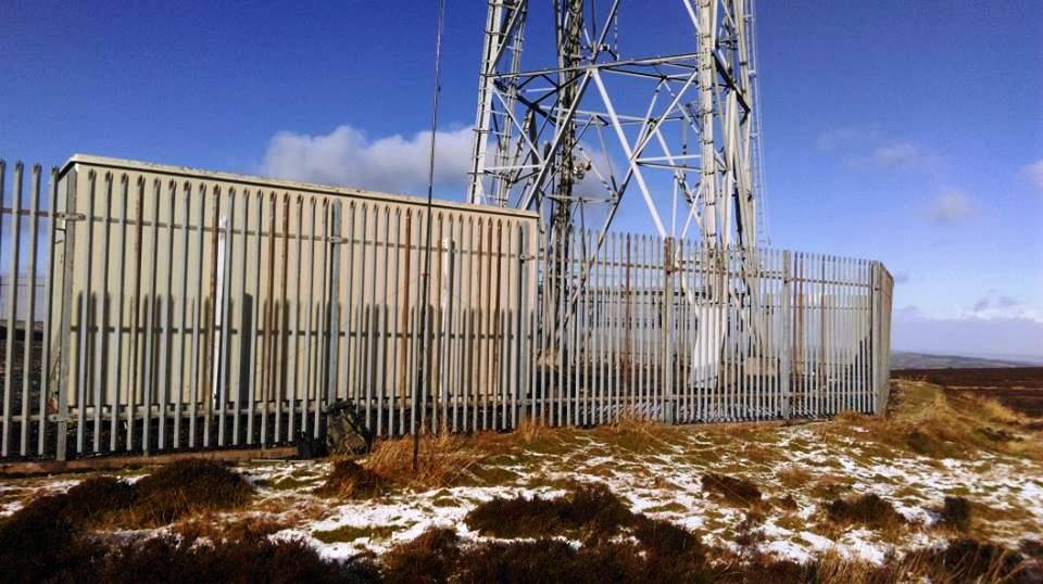
Once at the summit, I was quickly reminded of the cold wind, so sought shelter around the back of the transmitting station. Again, I found 10m to be dead, and there were no signs of life on 6m either. And then I hit a snag. I did my trick of going onto 2m to work some chasers and hopefully persuade some to QSY and give me a 6m or 10m contact. But the 2m band was filled with S9+ of noise from the radio station behind me. Over the years I have heard many complain about this, but this was the first time I had personally suffered from it.

I went back onto 10m CW and left the Palm Cube on auto-repeat CQing while I self-spotted. After a while, Frank G3RMD and Andy G8MIA called, so that was the multiplier taken care of. With no-one else calling on CW, I self-spotted for 10m SSB, and this time Dave M6RUG and John G4TQE were worked. Dave advised me that plenty of stations, including himself, were calling me back on 2m, but that I obviously couldn’t hear them.

I returned to the 2m FM calling channel and called again, but announced that I was listening 28.480MHz SSB, explaining that the QRM on summit meant that I couldn’t receive incoming calls on 2m. This did attract Pete G4RRM, who was one of those that had tried to return my call on 2m earlier.
So just five QSOs in the log for the Cyrn-y-Brain activation, but I didn’t worry. I had the summit point, and I had the Challenge multiplier, and I wanted to be home fairly soon anyway. I was home by 2.50pm, which I think must be a new record for me after a day on the Ponderosa Pair!
Many thanks to all chaser who called in.
2 Likes
I was listening to 80m and 40m at various times in the night and condx seemed poor.
Despite wanting to give SOTA a miss really, those points don’t earn themselves and I forced myself to brave the effects of Getrude and activate G/NP-031 Birks Fell. The WX forecast predicted a brief lull in the wind to around 20mph for a couple of hours from around 8am.
The propagation predication didn’t promise much and I only dared to put the SOTApole up four sections, so I managed 8 QSOs on 10MHz and then legged it!
I think you did well to work anyone on the higher bands, my experience was that the propagation was rubbish! I didn’t try 40m as the dipole legs were almost touching the ground.
7pts happily in the bag 
I built a 6m/10m antenna but I haven’t tried it out yet - so many bands/modes/rigs, so little time! 
73, Colin
2 Likes
Yes, patchy is a better word for it, QSB was swaying about on 15m. When I got home tonight I had a few emails outlining the frustration of my signal being just on the cusp of some of the American chasers NF. There where interludes where it came right up. ZS2G made it in the log for the third time this month.
W1AWX sent me a recording actually I was pretty strong on his G5RV ![]() some other states herd nothing apparently.
some other states herd nothing apparently.
The contest was a PITA, I swear they don’t even listen once when they tune in to you “QRZ, whats your control number and your call” Oh dear.
Didn’t have a bad day, wish I took the camera up with me
Jonathan
Over the last two weekends I activated 4 summits, 2 in GW and 2 NOT in GW. I mention this especially because I messed up my self spots whilst in Yorkshire, posting myself as GW4TJC/P. Oops!
[GW and not GW][1] (with video)

10-m conditions were good at times. But ground conditions and the weather were horrible!
Thanks everybody.
[1]: G4TJC: GW and not GW
3 Likes
What??? There must be a typing error.
It wasn’t GW or was it?
If it wasn’t, what was it? G or GM.
I guess G, because I don’t think GW and GM share any border. Do they?
73 de Guru
Guru, there’s no error but I guess it could be a bit difficult to grasp. Simon is trying to say that he’s done a total of four activations and only two of those were in Wales, hence needing a change to a GW prefix. When in England, the ‘W’ modifier has to be dropped.
It’s actually quite a useful system, it gives callers a fair guess at rough location, hence beam headings.
No, it’s not possible to cross from Wales to Scotland over land.
Vy 73, Colin