A few days in France

“You’ll have to go to Avignon for the 2nd week in December” said the boss. Hmmm, a week in the South of France doesn’t sound too bad and as Avignon is just an hour from where my sister lives, I could get a fully expensed trip to do some more French SOTA summits. In the end it cost me a bottle of Glen Livet 18yr ( as a thank you), car hire for 4 days and fuel.

I flew Edinburgh Paris CDG then the TGV to Avignon. Effortless apart from the wee girl at Edinburgh security finding my LiPos “scary”. I was a little uneasy at CDG with recent events but the security presence is obvious and reassuring. Lots of soldiers wandering about all with FAMAS rifles at an airport makes you think a coup has taken place rather than you are in a major European capital.

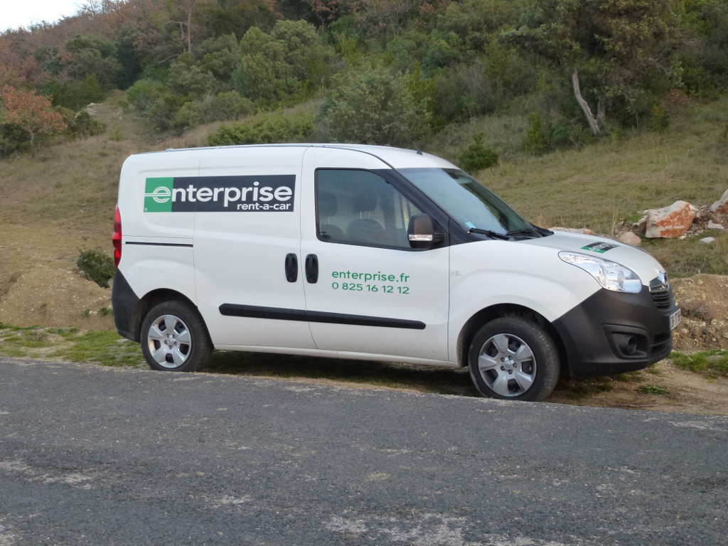
After a smooth and pleasant ride I collected my wheels at Avignon TGV station. Lots of car hire companies have facilities there but all were a little pricey… a Fiat 500 coming in at £138 for 4 days. Gulp! Then I noticed I could hire a small van (Berlingo) for silly money. I ended up paying £62.50 for an Opel Combi Van. It went like stink, used hardly no diesel had reversing sensors, decent radio, aircon, cruise control, traction control and lots more toys. Not like the rough old Transits I can remember hiring 25 years back. With reversing sensors it was easy to drive. Though in the true tradition of hiring a LHD vehicle I managed to almost hit a bollard and then go the wrong way up the road. That was just trying to leave the station in the 1st 100m behind the wheel. Also it was dark and I had a little rush hour traffic help me adjust to everything being back to front. I got to my sister’s QTH without any more issues.

£62.50 for 4days… bargain!

There now followed a few days of conspicuous consumption of fresh squid, duck, truffles, wild boar, steaks, wine (including a nice 1986 Chateau Neuf du Pape) and all sorts of amazing locally prepared natural and organic food. My waistline bears testimony to the time at my sister’s house and a week eating in a hotel and restaurants all the time.

#Pic Saint Loup F/PE-281
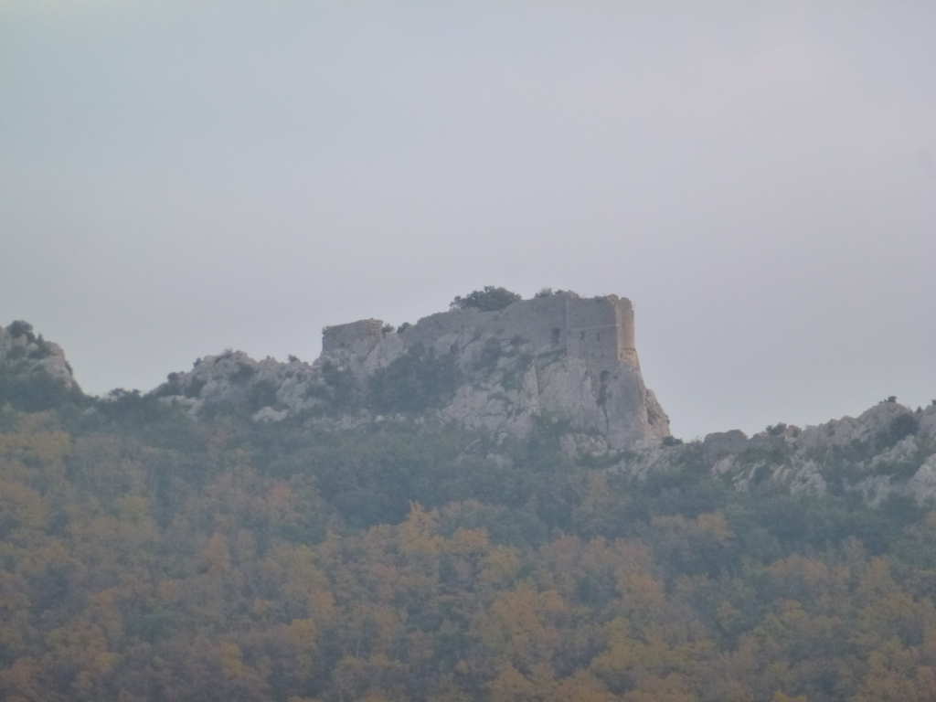
This is a visually significant small mountain. The wine from around here is very highly rated. I saw this summit 3 years ago when I did Peuche des Morgues F/PE-333 and decided I would need to bag it when next down this way. I did a bit of research and it’s a popular walk with several very good paths to the summit. I parked in Cazevielle where there is a large car park for the summit. Getting here was bit difficult though. I knew the way to the last main town Saint-Mathiue-de-Treviers and I’d stopped in Sommieres to get supplies for the day (bread, brie, peanuts, diet coke). At Saint Jean du Cucelles I met a diversion that took me in a circle. Not good. I spotted some men in hi-vis jackets with flat bed lorry and road repair materials on it (this was a Saturday morning) and asked in my best schoolboy French if they spoke English. One of them was simply fluent which was unexpected and he gave me detailed directions to get to the road I wanted. The road Cazevielle climbs and moves through forest scrubland. There was another boar hunt on, lots of warning signs and men in orange clothes. I was hoping Pic Saint Loup would be too popular to have any hunting on it.

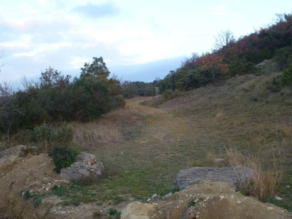
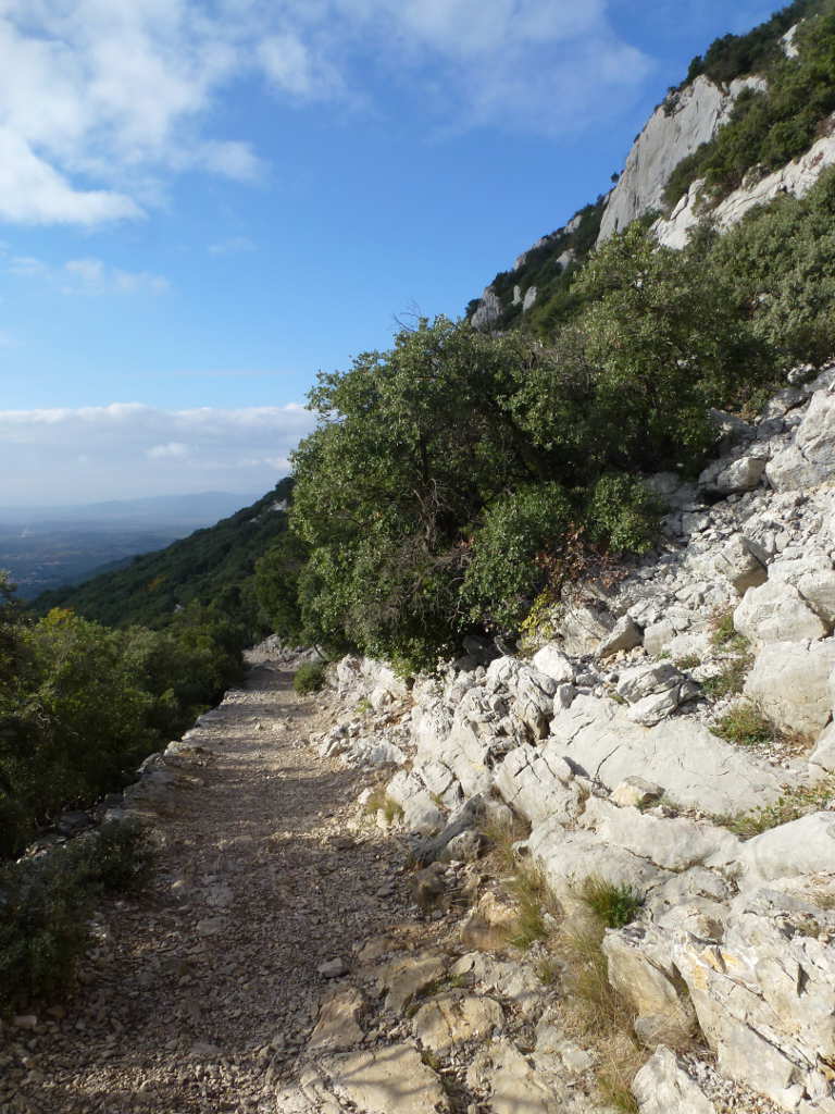
It was December and sunny/cloudy and warm, 14C. I set off up the incredibly stoney path, lots of Limestone around here. It was hard work in a pair of soft boots. I have a pair of mid-height Karrimor waterproof boots (more like a training shoe) and the sole is not thick enough for such stoney ground. In fact after 3 Lanazrote summits and 2 French summits the tread is down to 1/4 thickness on these boots, not designed for hard abrasive rocks. But they were cheap! The path climbs through the woodland and the walk was a delight albeit hard on the feet. It was very busy, lots of walkers. Now something you don’t get lots of on Scottish walks is lots teenagers or young couples. But plenty of young people here. Also all of the women were seriously good looking. No lardy blobs, all slender, pretty and immaculately coiffured. I think I was the fatest person in 50km radius. I was certainly the palest and that was after a week in the Canaries 2 weeks back. :wink:

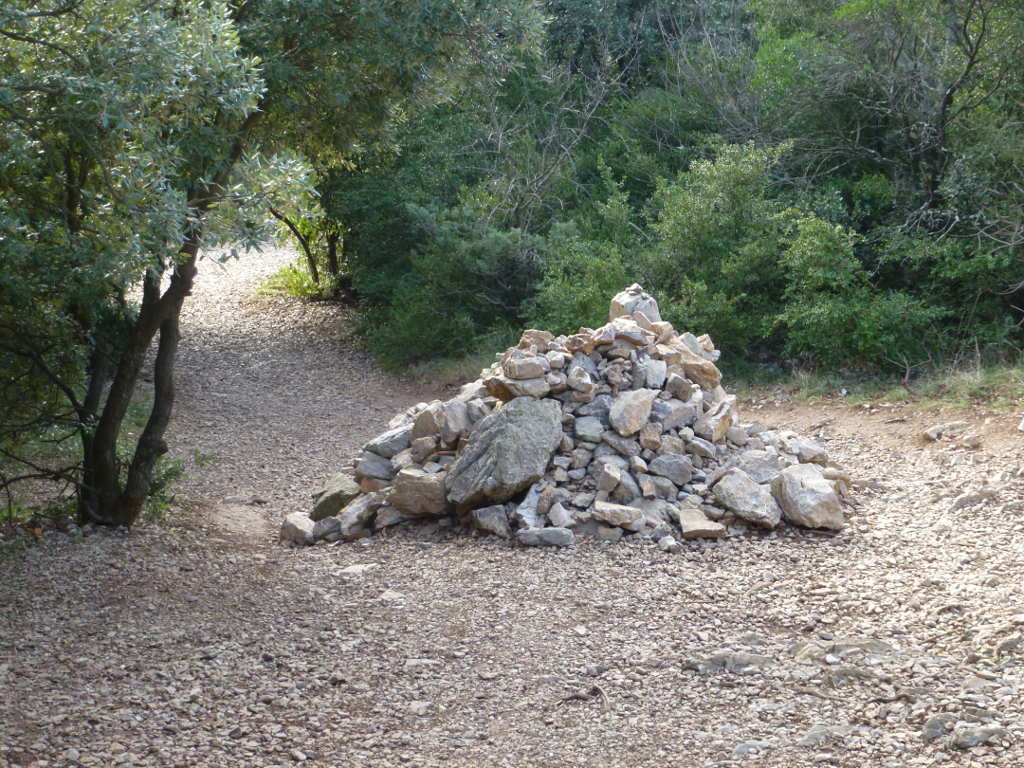
After a couple of km of occasionally steep climbing but essentially trivial walking you get to the cairn.

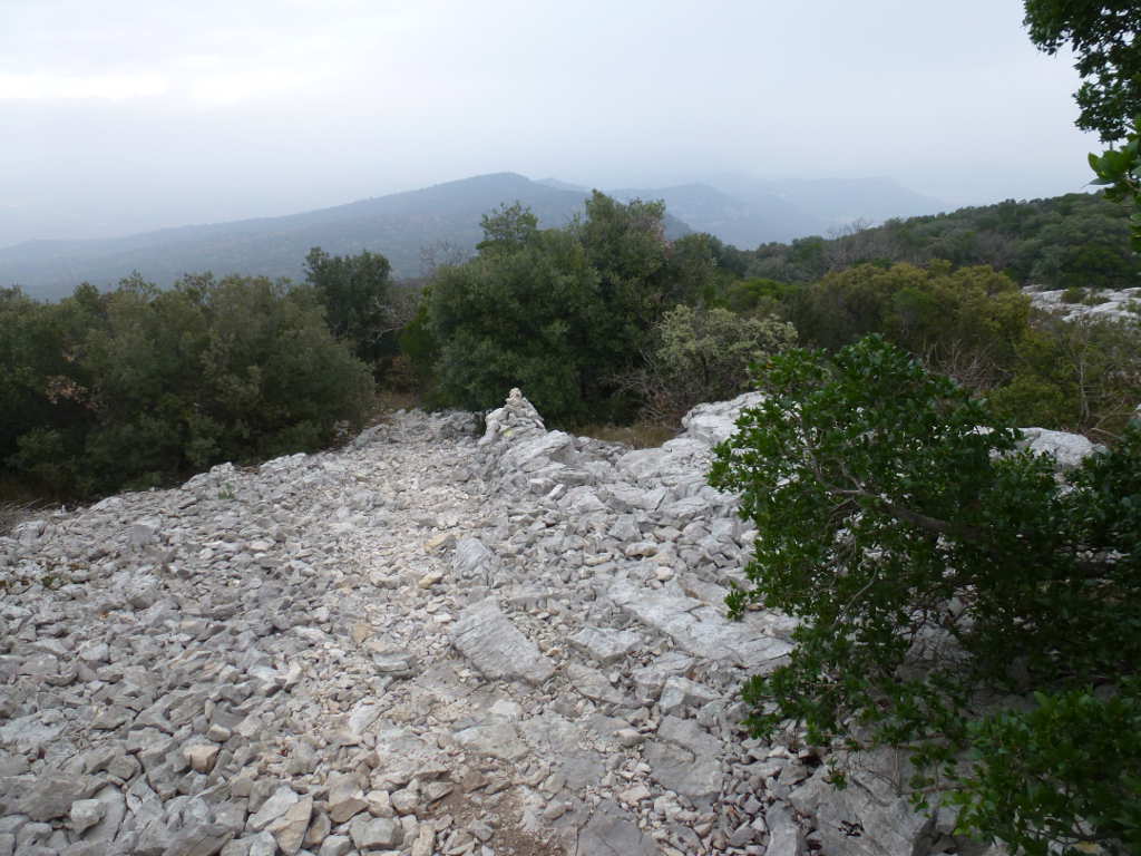
The main path, Cazevielle and my van is about 1.5km along from here.

You cannot miss the cairn where you turn left.

Then you go up.

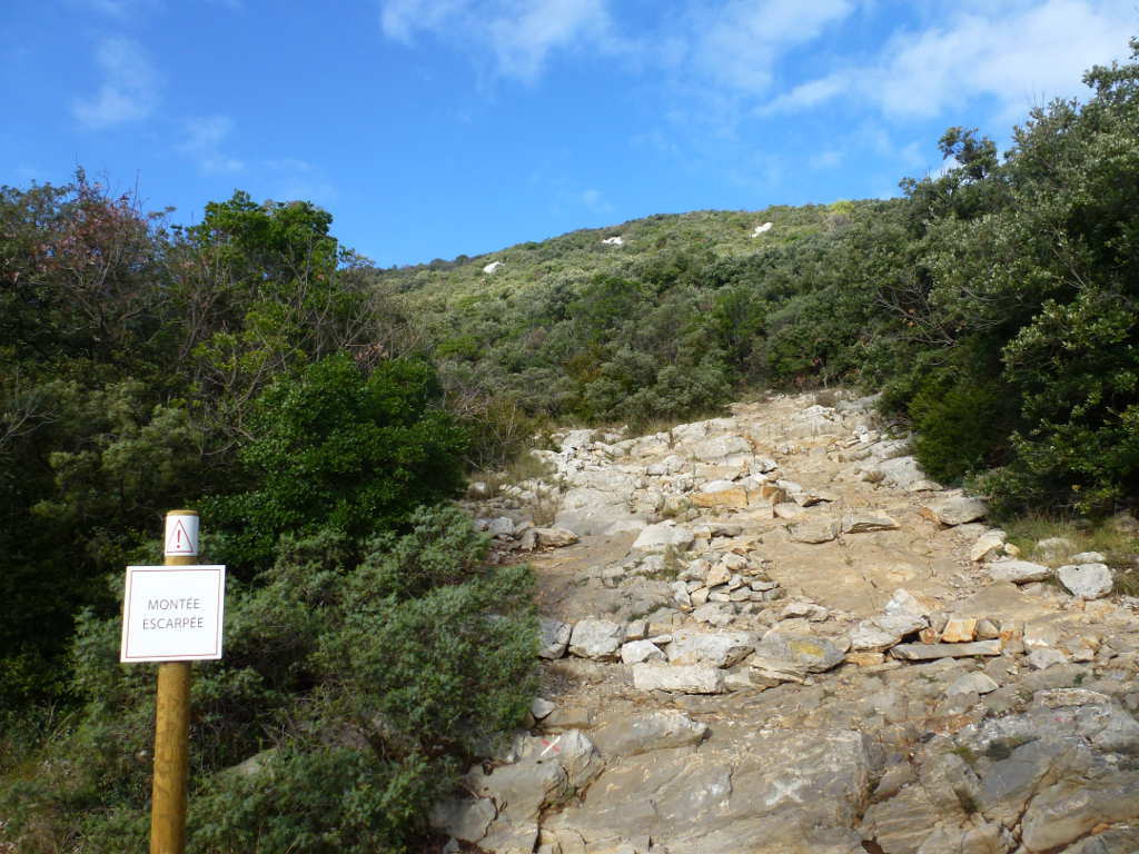
It’s only steep to the trees. After that there is a good path that zigs and zags through the woods and occasionally pops out of tree cover.

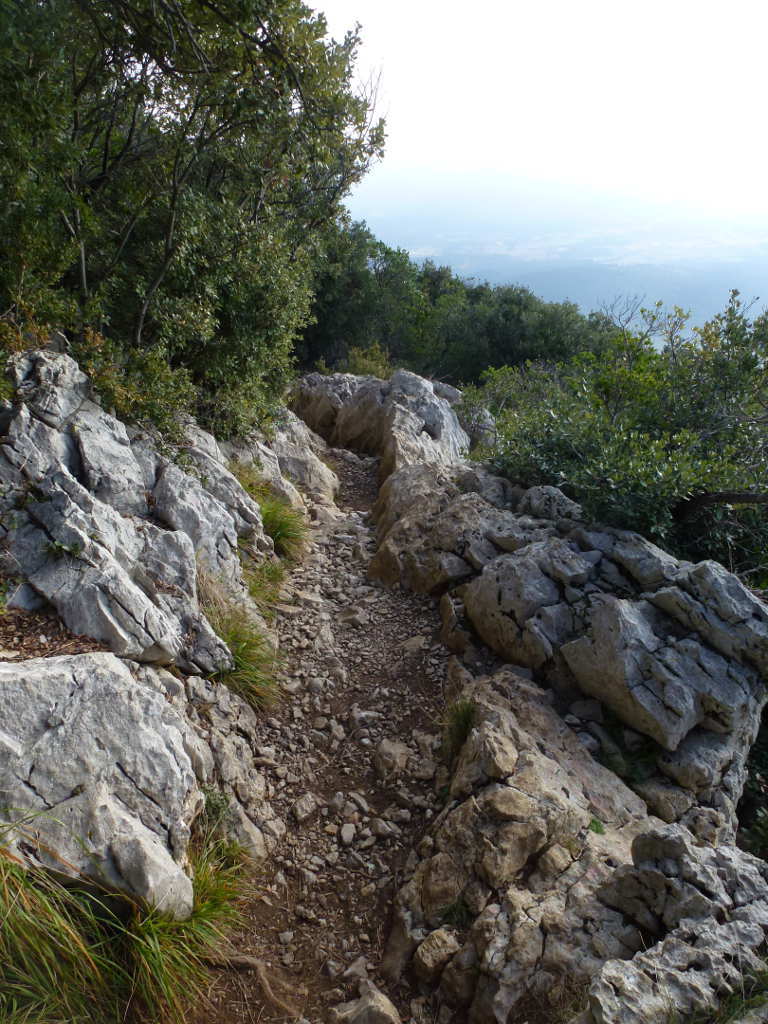
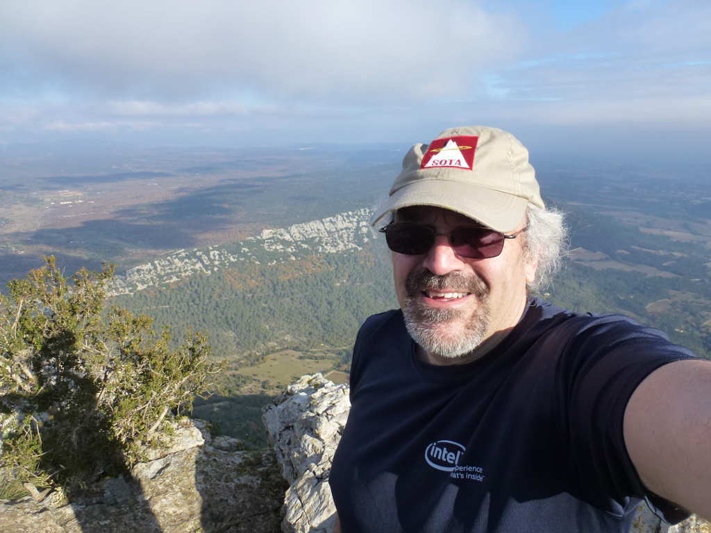
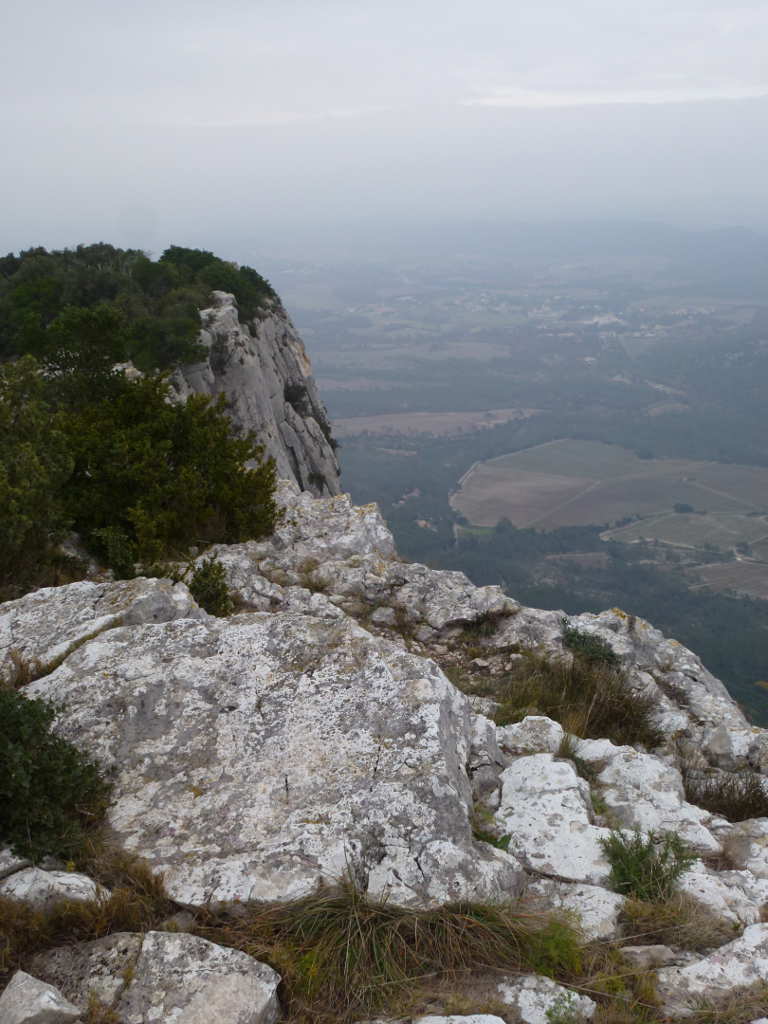
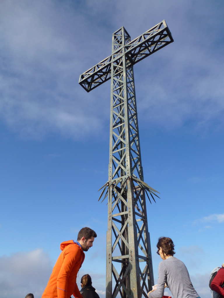
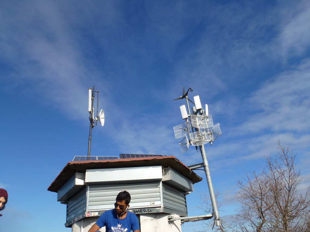
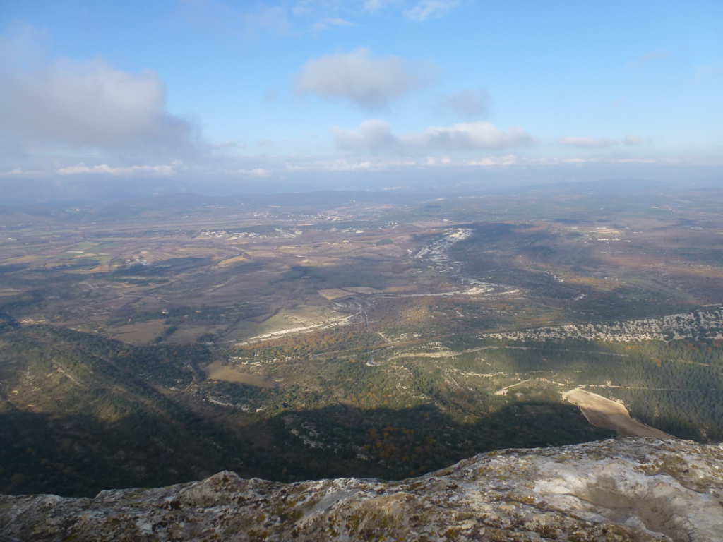
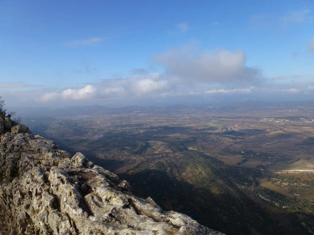
Then after 55mins of occasionally having to actually put some effort into the walk I arrived at the top for some really breath catching views. The North side is an overhanging cliff so there is an essentially vertical drop of hundreds of metres. There is a big summit cross and also a radio relay station.

The summit cross.

The relay station. A source of lots of QRM on HF. The panel antennas are probably mobile phone but they look small and the site seems far, far too well positioned for mobile phones, the cell size would be enormous. Perhaps a TETRA type system? The BBQ dish antennas are 2.5GHz. Looks like it’s linking several sites due to the commanding view.

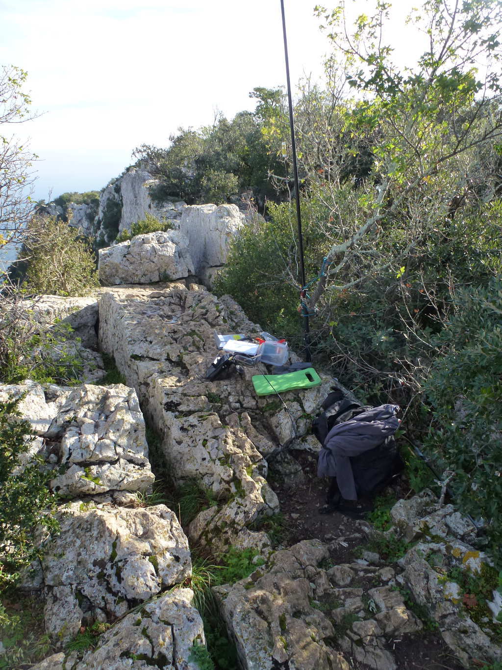
The summit was busy so I moved along the cliff top to find a quiet space. I set up and decided to try 30m as I had never used that band from mainland Europe before. There was a lot of noise but using the narrow filter made it OK, just OK. Boy was I popular. Lots and lots of chasers, 31 in fact from all over EU including DL, G, ON, OK, OE, HB9, EA2, HA, OM, I, LX, PA and F. I’m not convinced this 30m design I have is not a sky-warmer but it worked better than ever on the edge of cliff.

The F/MM0FMF/P HF setup approx 3m from the cliff edge.

After 30m I tried 20m but the noise was S9 on SSB. 17m was better, only S3 on SSB. I wanted to do some SSB for the non-CW chasers and I’d carried the mic up the hill so I wasn’t wasting the effort of carrying it and not using it. I managed 2 SSB contacts and tried 17m CW and worked MM0GYX who was a big signal. I don’t know if he was using an homebrew set but he sounded good to me.

After that it was more pictures and the descent out.

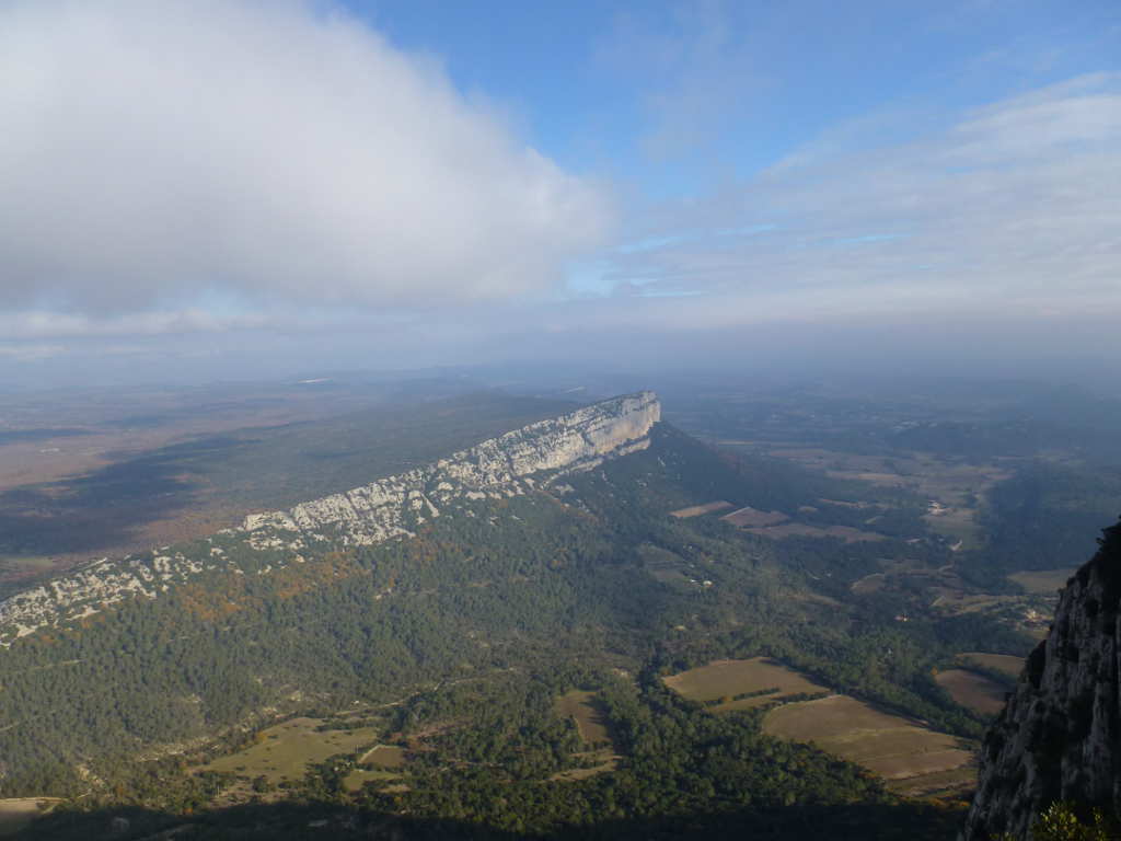
Looking North East to Montagne d’Hortus F/PE-309 the next target.

Looking North

Looking West

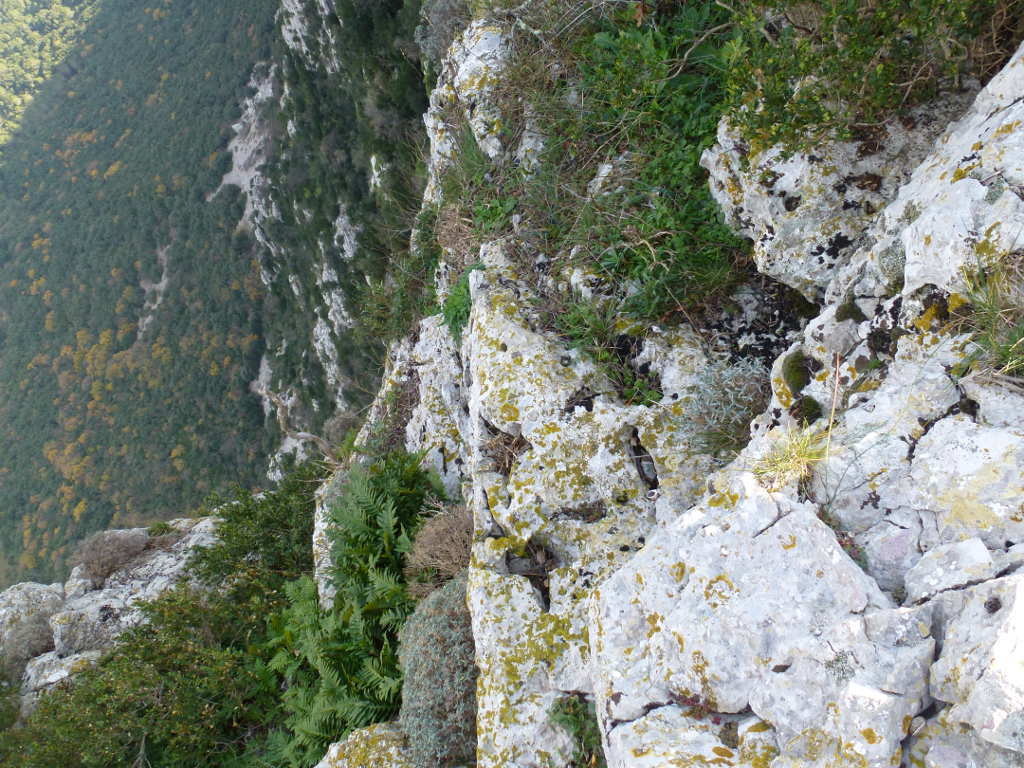
Looking over the edge straight down

It took about 45mins to get back to the car where I had some lovely fresh bread and brie. Then the drive was straightforward around the back of Pic Saint Loup and on to Montagne d’Hortus which looked easy on the map.

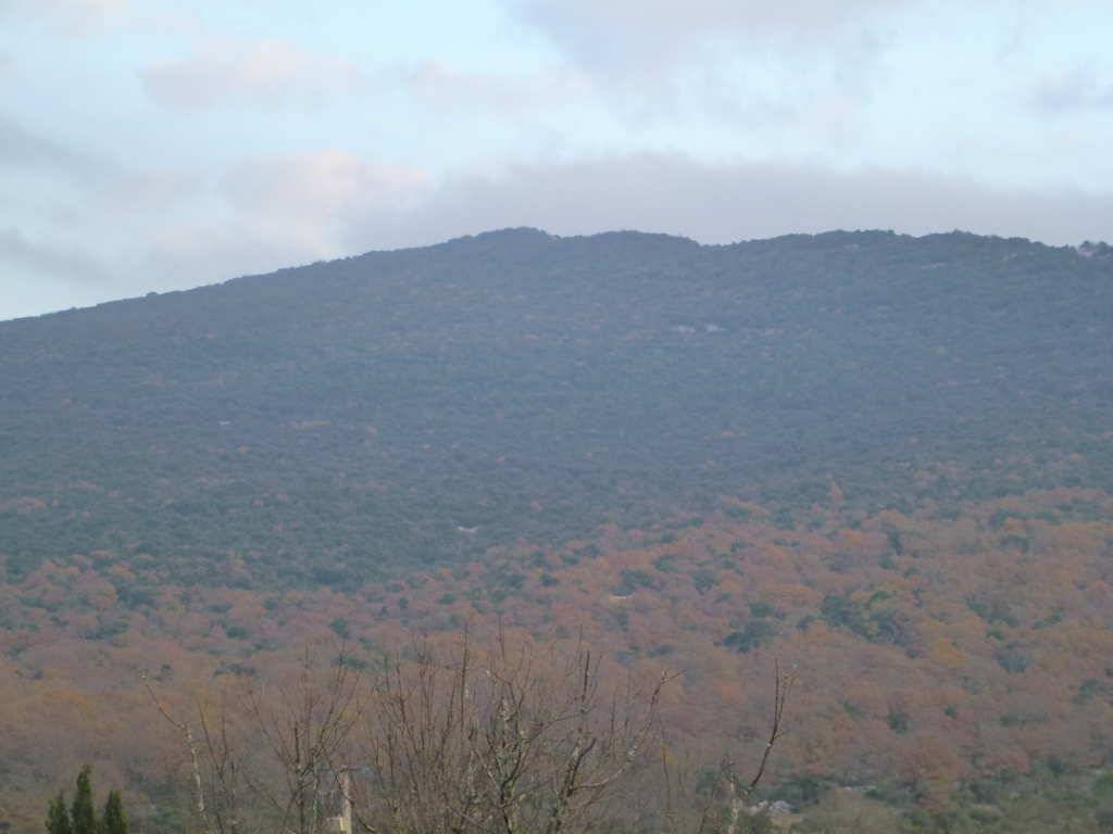
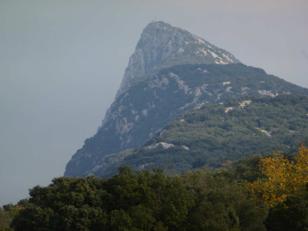
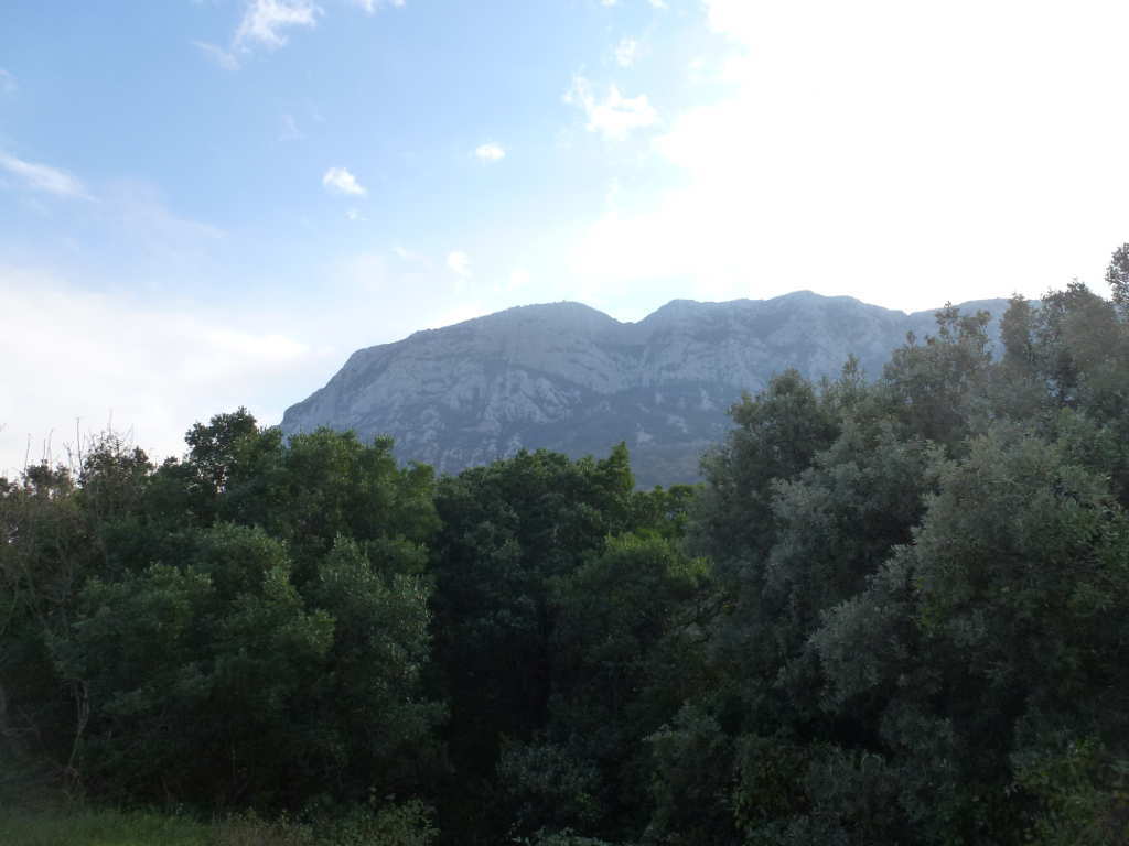
Finally on the road back I got some good photos of the mountain showing the classic profile. When you see something like that you have to climb it.

The cliffs really are quite a spectacular drop. All there is to stop you falling over is a sign at the end of the path saying “be careful”. So understated it could almost be British and not French!

It was starting to haze up and cloud up and get more humid. I didn’t think it would rain but there were predictions for showers so I didn’t hang about getting to the next summit.

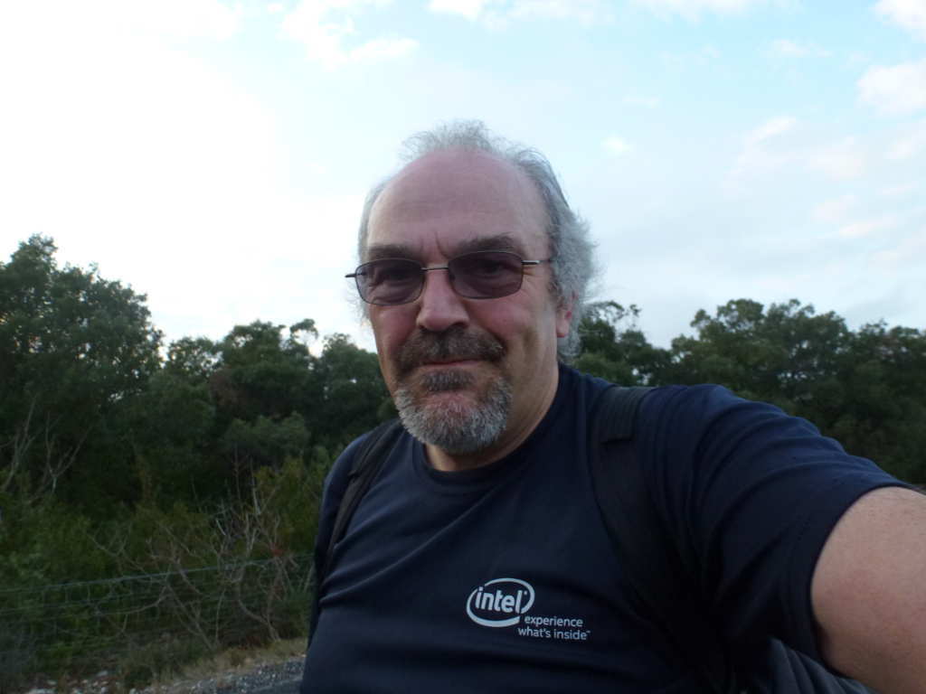
Finally, a happy F/MM0FMF with the special edition SOTA cap being worn in yet another association.

7 Likes

#Montagne d’Hortus F/PE-309

This is situated just across from Pic St. Loup. It probably took 20-25mins to reach the turn off for the minor road I was gong to park on. I’d found a few possible routes on Openstreetmap and Google Earth. One started off visible on Google Earth but soon vanished into the woods. The other was more obvious and went past farm buildings on a clear track. My brother-in-law said there was a path that started from a curve in the road with space for one car to park but the farm track looked easier. I’d forgotten to ask my sister what the law is in France about walking across someone’s land so I decided I take my brother-in-laws suggestion. He’s lived in this area for 60years and is always out fishing, hunting, collecting wild fruits so if he suggested a route, it would be rude to go a different way! Well I wished I asked about the farm access now!

I parked up and the track was obvious and matched both Google Earth and Openstreetmaps.

Within a few hundred metres it narrowed down to a footpath but it was easy going if a bit wet. I had to scratch my head because I’ve never actually seen rain in France. But it looked like it had been raining in the last few hours. Anyway onwards and upwards as the path remained easy to follow but the trees started close up above it. This is why it disappears on Google Earth. The route was marked blobs of paint on rocks or trees. Some looked new and others could be many years old. But whenever I wondered where to go next it was simply look for the paint.

Fairly soon I came across the ruins. I’d love to have explored here and should have take a photo or two but I was concerned about time. I didn’t want to hang about as that would cut into operating time. At this point the route changed. No longer under the trees but more open and also, sadly, on the edge of the damn cliff face. Now I don’t do exposure. No sir that’s for others. I did not like the look of the path but it was clear I was in the right place, the paint blobs lead out in frobt of me. I pushed on as fast as I could and noticed it was now hard work. Following a track is easy even on a steep slope. Walking up a grassy bank is easy even if steep. But walking along a limestone rock path about 50-100cm wide with bushes and trees in the way and ever increasing drop to one side is not easy. Especially if you are a wuss like me.

I started to consider a tactical withdrawal. I wasn’t sure how I’d explain this so I pressed on. I did actually seriously consider my dislike of exposure and the fact this was now not fun. It was hard to see too far forward but the GPS said 1.5kms to go. I kept going on. Annoyingly it was clouding over as well. So not only was I exposed to big drops but the WX was turning, maybe the showers were coming? At one I had to climb out to get past some outcrop and this was uncomfortable for me. Then I climbed back in. There’s probably only 700m that’s exposed and after that the edge you walk on widens out and the path meanders through the trees again. There’s lots of cairns and paint blobs so it’s not hard to follow. I stopped every 10mins to asses how much farther to the top, expected arrival time, time to operate and the choice of return route.

Typical path and exposure. You can see the drop is “significant”!

After what seemed like a lifetime I got to the top. The summit cairn was insignificant for what I’d walked over to get here but I didn’t add to it.

I hardly took photos on the way, I was too busy not falling off! I did take a photo of the summit but didn’t take one of the station. D’Oh! With the time now hour behind my calculations I did a smash and grab. I set up for 20m which was busy and found a clear QRG and spotted for 20m SSB. Nothing. After 5 mins of calling that was that. On to CW and another spot. This worked and I got 7 QSOs, ODX being KA1R and N4EX. I called and worked everyone I could hear. After calling CQ and listening for 5 times without a QSO and with 7 in the log I quit. Station take down was rapid and then I had to decide which way out. Back the exposed route which would probably be OK having done it now. Or take the other route out which is visible on Google Earth and hope there wasn’t an angry farmer at the bottom. The non-exposed route won. You can see the path leading off in the last photo.

Boy was it hard on the feet. The path is not well defined for the first 100m or so but soon I was on a better path and the GPS map said I was on the path. Now it was a case of follow your nose out, avoid the rough bushes (failed, my arms were scratched), avoid the worst ground (failed, very stony and my feet were killing me) and turn off at the right point when the path splits (failed I had to reascend enough grown to swear a lot). I noticed the ground was disturbed every few metres and there animal droppings. Big droppings. Hmmm what lives in woods, does big droppings and digs in the ground for food? I know: wild boars. This was confirmed when the signs saying “Private hunting reserve” started appearing on the trees. Well the signs where in French and I used Google translate to help me.

It was a long 45mins walking out. When I finally got to the farm it was quiet. Looking back to the top.

The ruined church/monestary/castle. See how the rocks stand proud of the trees. Well the path runs across the top of the rocks and it really is narrow at times.

This route added another km or so as I had to follow the road for 10mins to get back to the van. I sat in the back with my boots off letting my feet recover and had some more bread and brie. I also took another selfie to record the fact I had done an uncomfortably exposed walk. I don’t look so happy here, very tired, very sweaty and with sore feet!

On the drive back I contemplated that the biggest issue was my boots not having suitable protection from the stoney ground. If my feet hadn’t been throbbing I’d have not bitched so much about the path. I’m glad I did this on a Decmber day. I was hot and sweaty enough in 14C weather, in 30C it would be impossible. I’m glad I did but do wish I’d have had more operating time to throw in another band or two. It also taught me that exposure is scary but doable when you need to. I don’t know if I’ll be checking the Aonach Eagach though!

I also had words with my brother-in-law about his route. “Oh yes it goes along the edge but it’s not that bad” was his reply. He then poured me a glass of a Fennel based liquor he’d made which was about 60% alcohol and amazing in taste and passed a bowl of Olives and some slices of home made sausicon. So I didn’t push the issue. :wink:

Actually when I got back and showered and starting eating and drinking I decided I’d had a bloody marvelous day and would do both again, but next time with better boots. I was unable to explain to my brother-in-law why I was mincing about on tiny summits like these when about hour away was Mont Ventoux which is worth more points is bigger and very famous for the Tour de France climb. There’s just something about little odd mountains that make them interesting and there’s lots of them down here. Talking of the Tour, I bumped into Jean-Louis Pages, the director of Sites for the Tour in a Cous-cous restaurant in Aigues-Mortes, my sister knows him as he lives locally. I had a nice chat and thanked him for bringing the Tour to Yorkshire and asked him if we could have it up in Edinburgh next. He didn’t say no, I guess we’ll just have to wait and see.

8 Likes

A day you will never forget Andy - thank’s for a most interesting bedtime read. What a good move it was to hire that van…

73 Phil