Cold hearted orb that rules the night, removes the colors from our sight. Red is grey and yellow white, but we decide which is right. And which is an illusion? The Moody Blues - Days of Future Passed
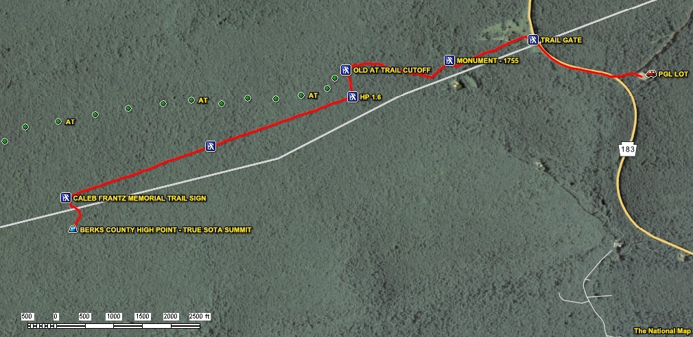
Summit W3/PH-001 “Camp Blue Mountain South” is in Pennsylvania State Gameland #80 in the Blue Mountains. In 2010 the SOTA database location was changed to coordinates 40.5167°, -76.2607°, but it still lists an elevation of 1689 feet. A real world location matching those criteria does NOT exist. Justification for those mythical “summit” coordinates must be that they point to the closest location that still lies on the Appalachian Trail AND on the Berks County / Schuylkill County line. If you are seeking those improvidently manipulated database coordinates, start at the Route 183 Appalachian Trail gate at coordinates 40.5269°, -76.2235°. Stick to the circuitous Appalachian Trail and you will get there eventually.
At some point the AT was re-routed, moving it away from the actual summit (the summit is still on the County Line). Those faux database coordinates (in the Rattlesnakes free zone?) are for a location only 1665 feet in elevation. That 25 foot elevation difference keeps it well within the Activation Zone, but it is NOT the summit.
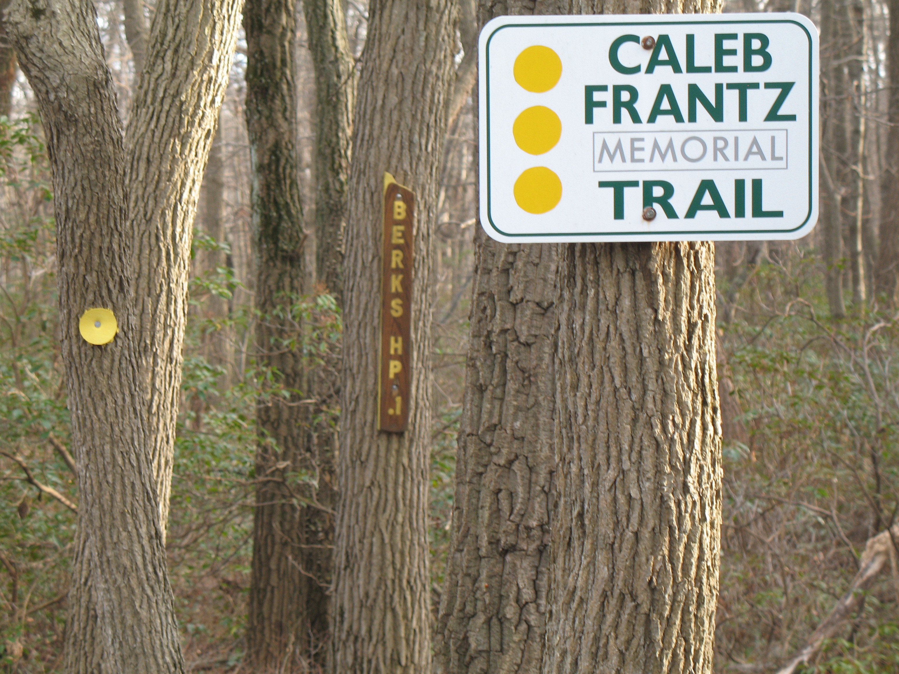
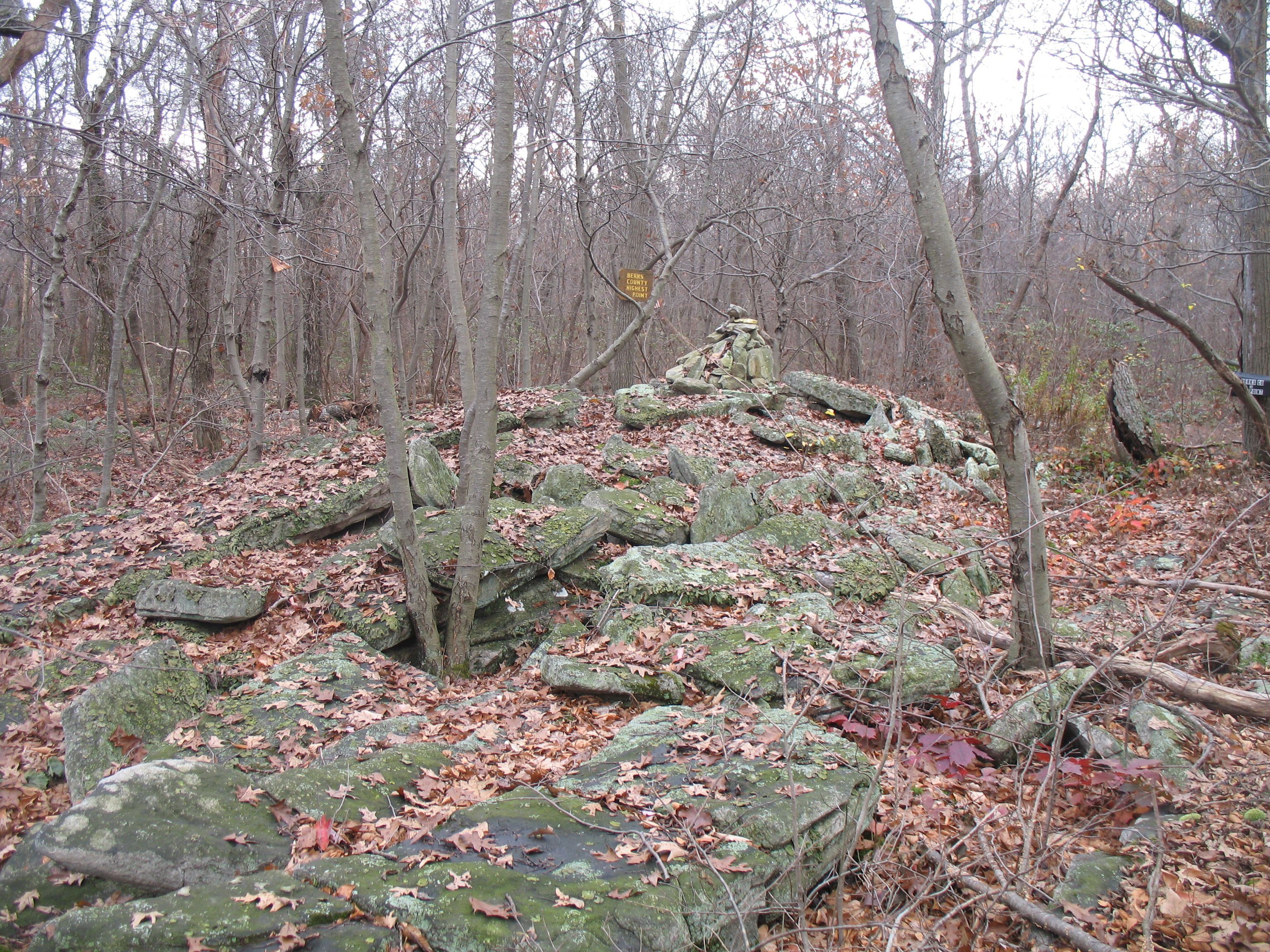
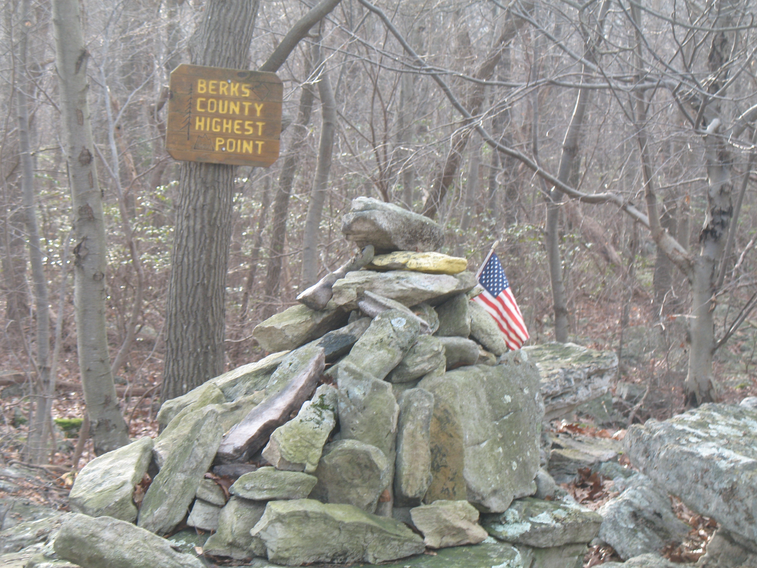
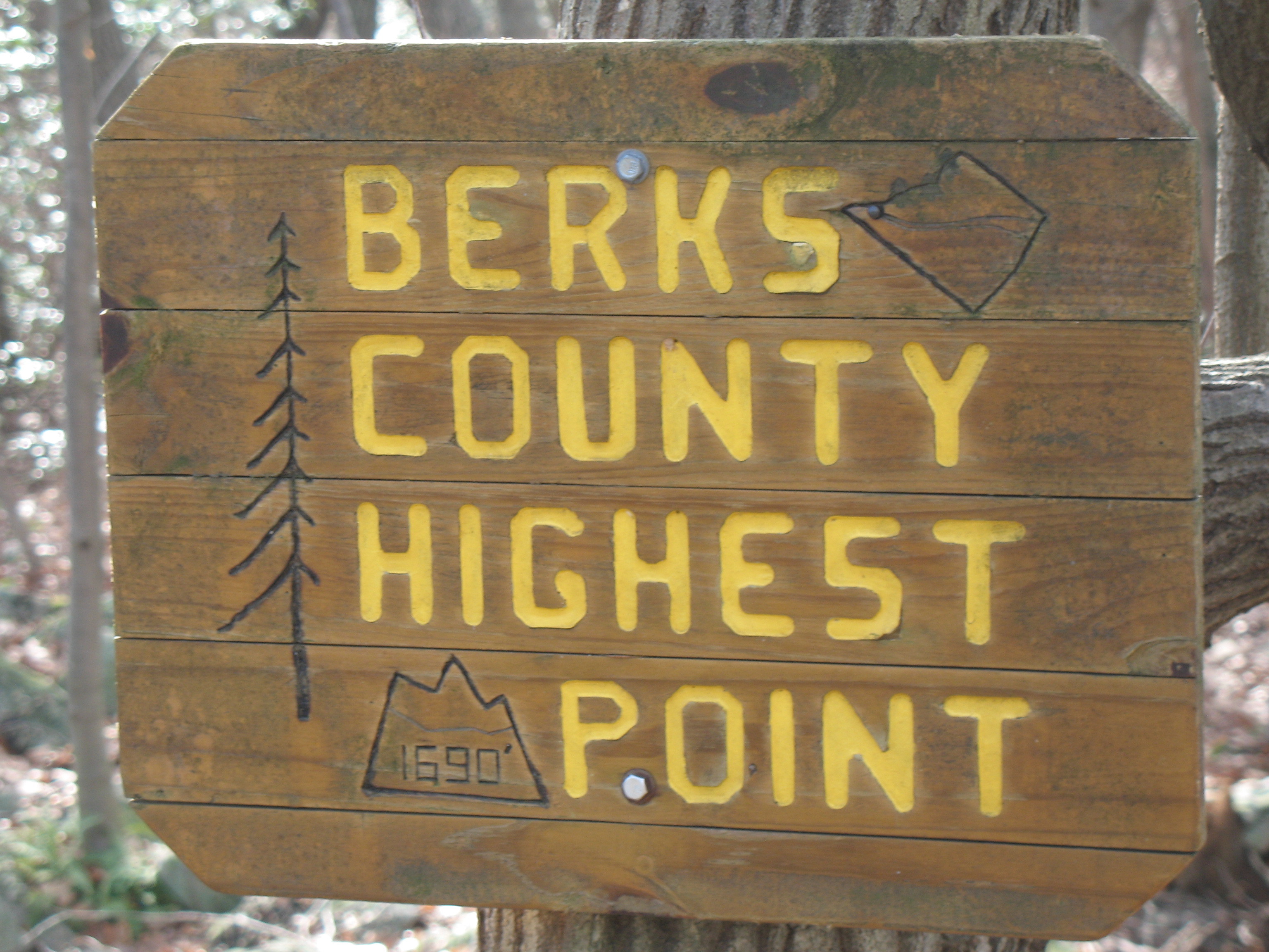
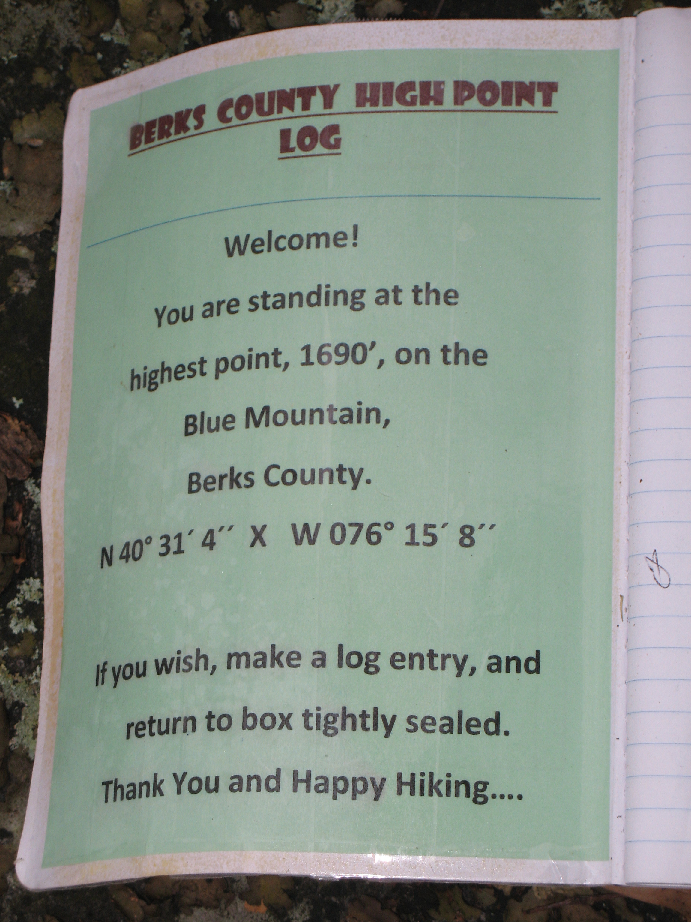
My first experience with this summit was in 2006 to find a Geocache. I was aware that it was the Berks County High Point. There was no plaque display announcing its 1690 foot High Point status. There was no mailbox containing a High Point Log. The Summit Cairn was just a fraction of its current size and height. There was no final access trail in to the High Point from the nearby old abandoned Appalachian Trail. When that access trail was established, it was named the Caleb Frantz Memorial Trail, and was blazed with Yellow Trail Dots to mark the way.
Avid hiker Caleb Frantz of Bethel Township, a retired elementary school teacher, insisted that at 1620 feet the PINNACLE was not the topographical high point of Berks County. Many had assumed it was because of the name and the view it offered. Caleb knew better. He identified the High Point as a woodland site about 2 miles off of Route 183. It was located near the AT, at an elevation of more than 1680 feet. The view is not a spectacular overlook, but it is the County High Point (and the true SOTA summit). Caleb died in 2004 at the age of 89. The year 2015 would have marked Caleb’s 100th Birthday. Celebrate the spirit of SOTA and Caleb’s memory from the top of Berks County at the original summit coordinates of N 40° 31’ 04”, W 076° 15’ 08” (40.5178°, -76.2522°).
Going forward I have no interest in the imposter location. If you visit the true Rattlesnake Summit for your SOTA activation, watch your step and your hands - and keep your eyes open. Nobody wants you to have a bad experience with Rattlesnakes (or Copperheads), but they live there. We are the uninvited guests. The world can be a dangerous place. Take responsibility for your own safety. YOU DON’T EVEN WANT TO SET UP DIRECTLY ON TOP OF THAT ROCKY SUMMIT.
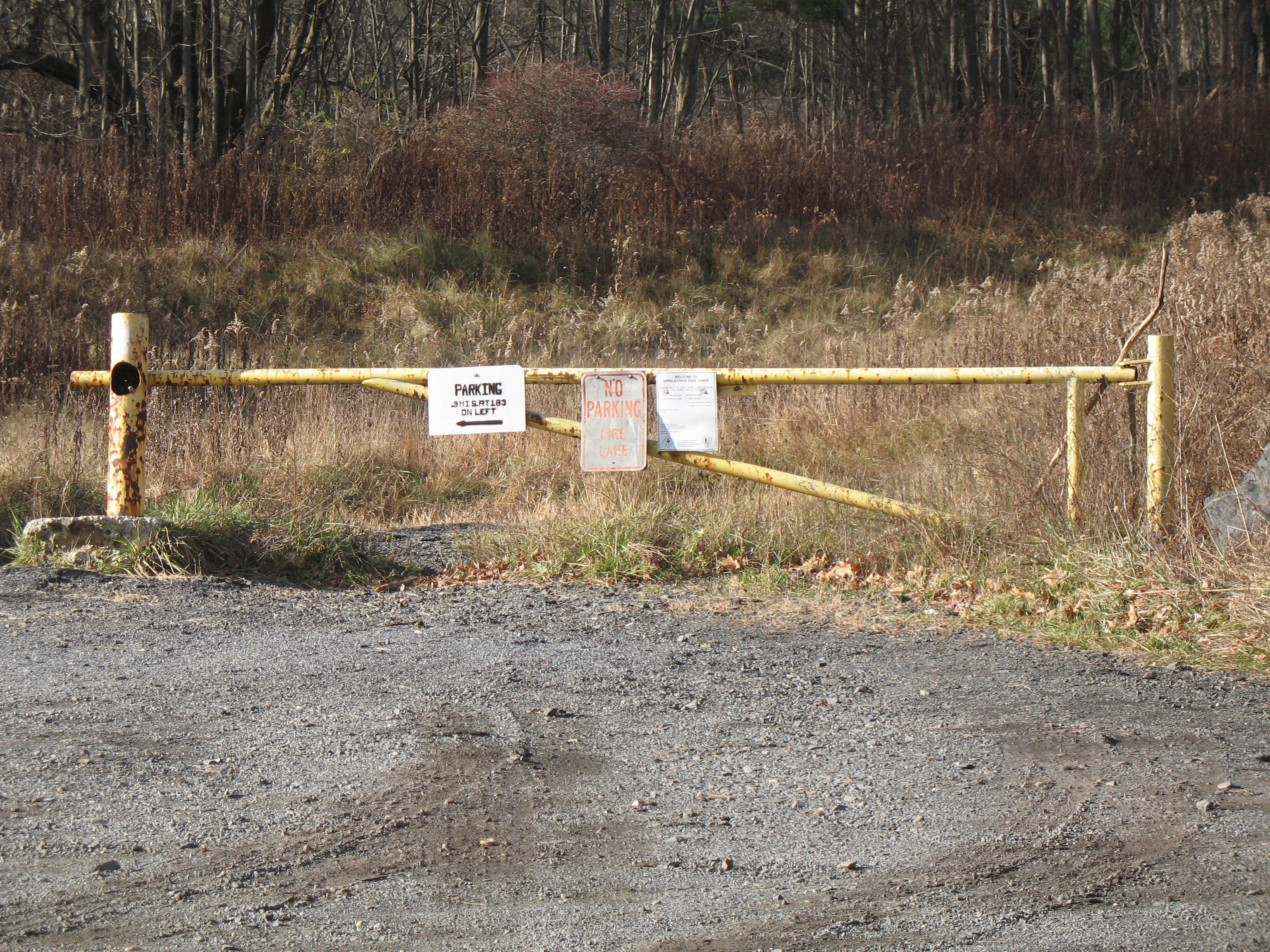
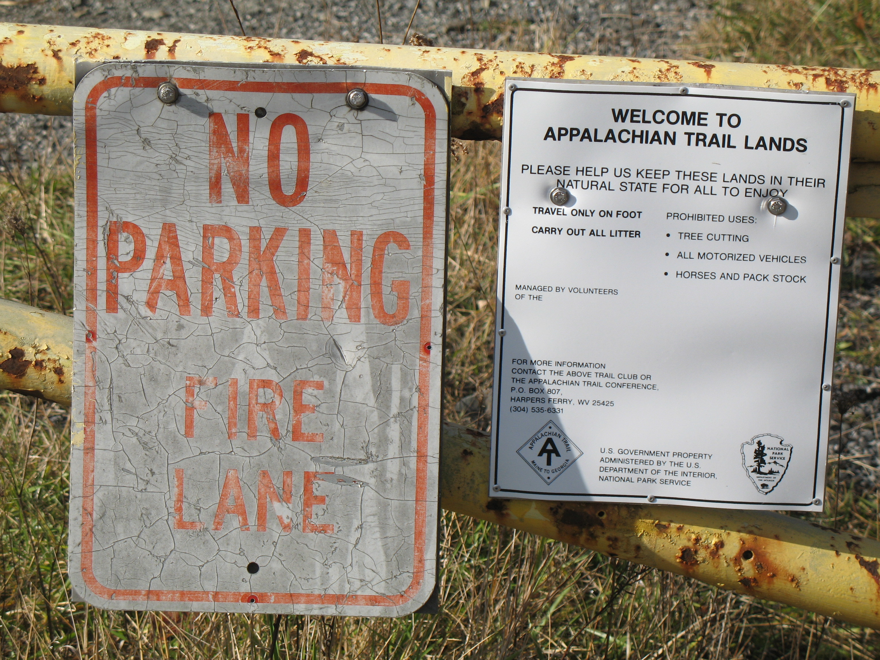
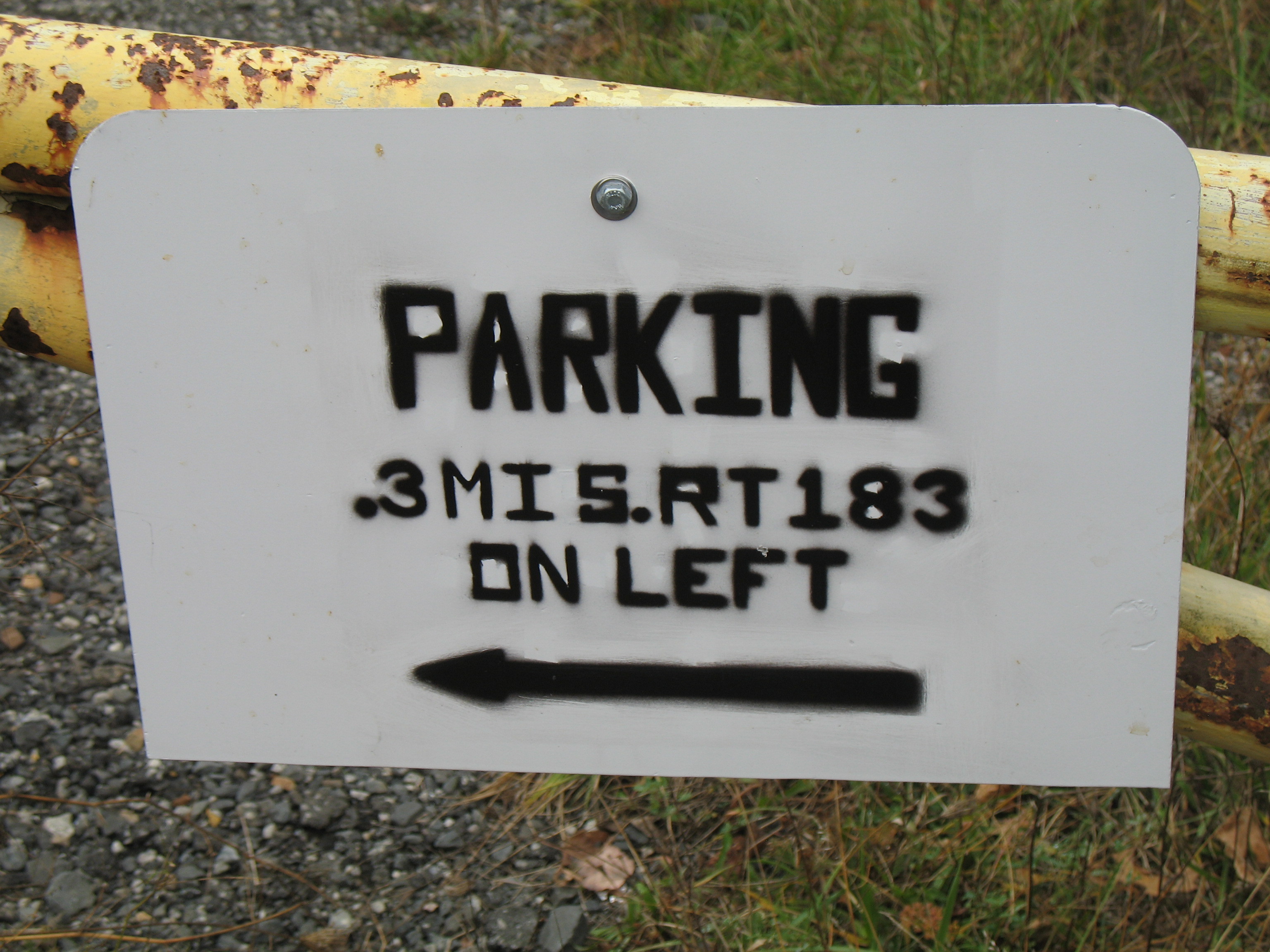
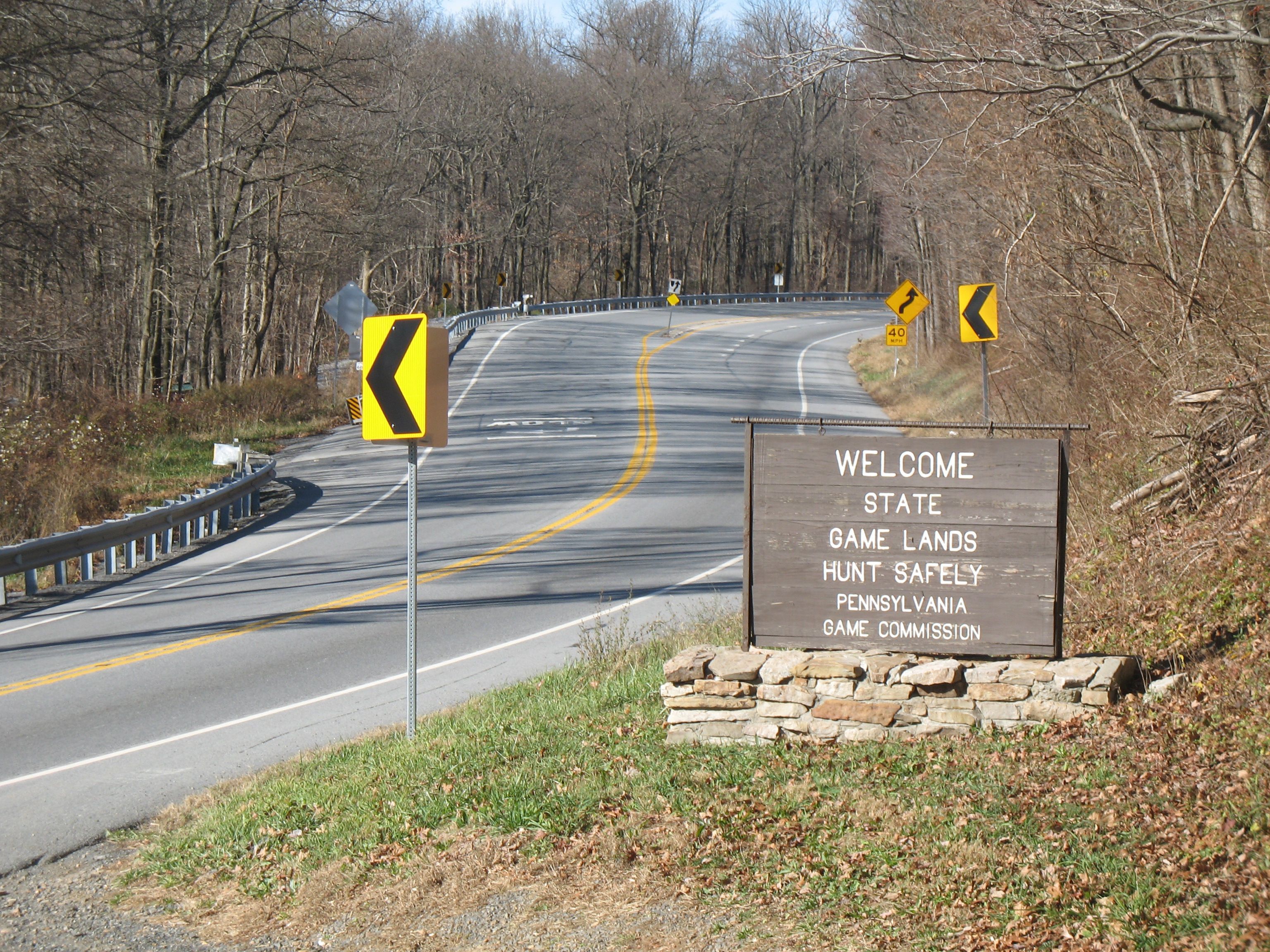
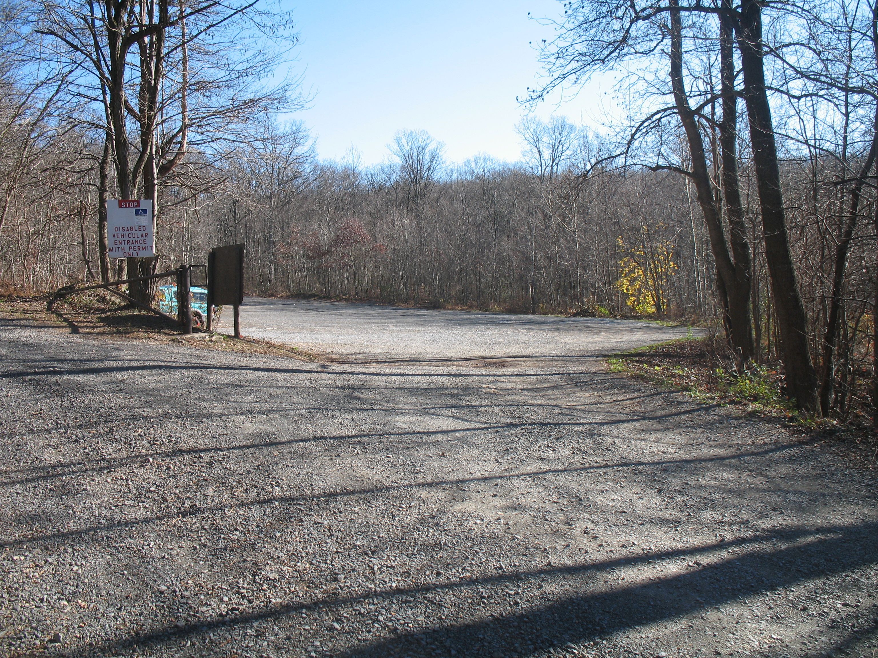
10 years ago the FIRE LANE sign prohibited parking at the Route 183 trail gate. That did not prevent parking there. Now you are more specifically directed to park three tenth (3/10th) of a mile down the hill (at the Pennsylvania Gameland #110 lot) at 40.5253°, -76.2161°. That still doesn’t prevent parking at the gate. There were 5 cars there on a recent Saturday in November. Figure on about a 10 minute walk on Route 183 between the gate and the lot. The worst thing about that 10 minute walk is the speed and amount of road traffic there can be on Route 183. Combine that with narrow road shoulders, and it is not a good experience. Do whatever you feel comfortable with. There is an inconvenient (longer) Appalachian Trail woodland option.
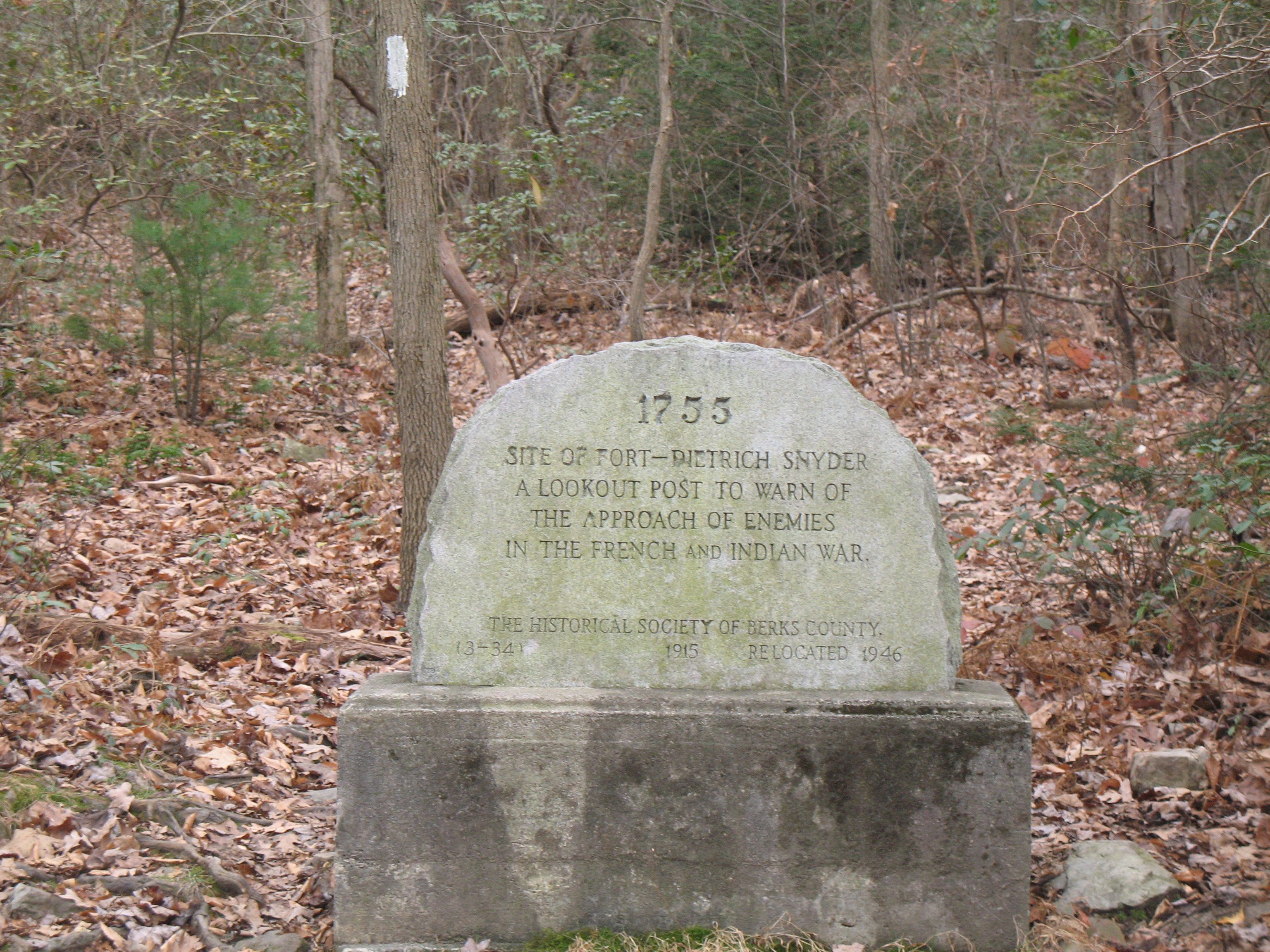
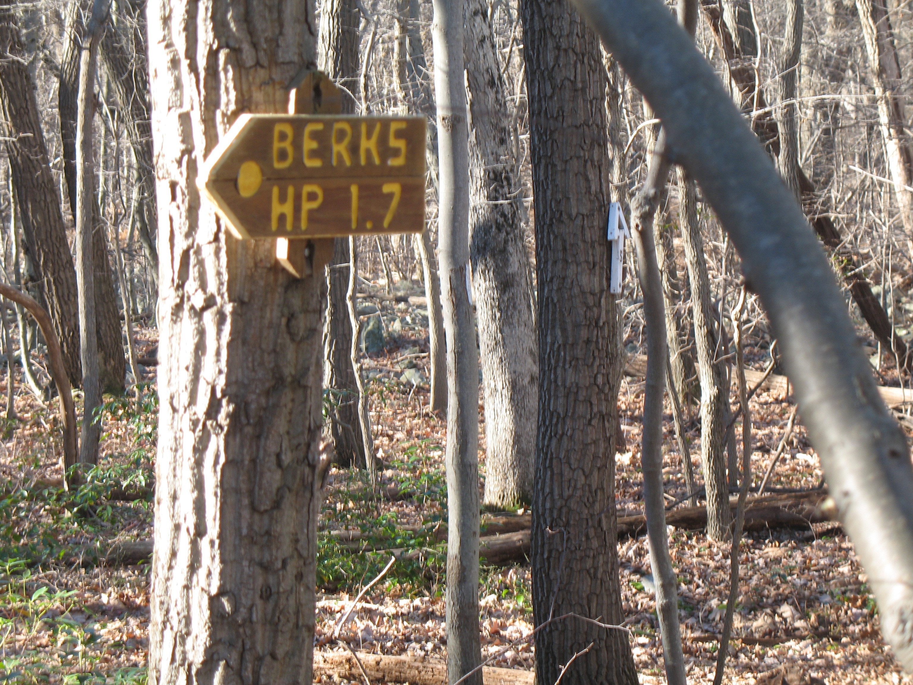
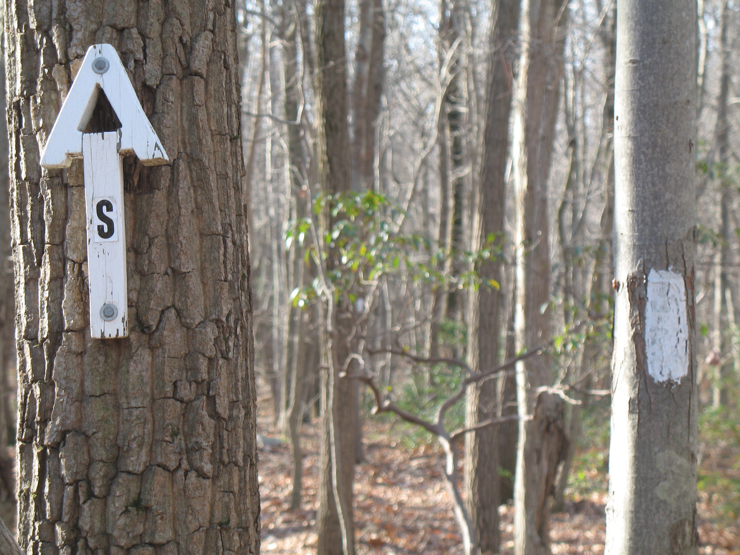
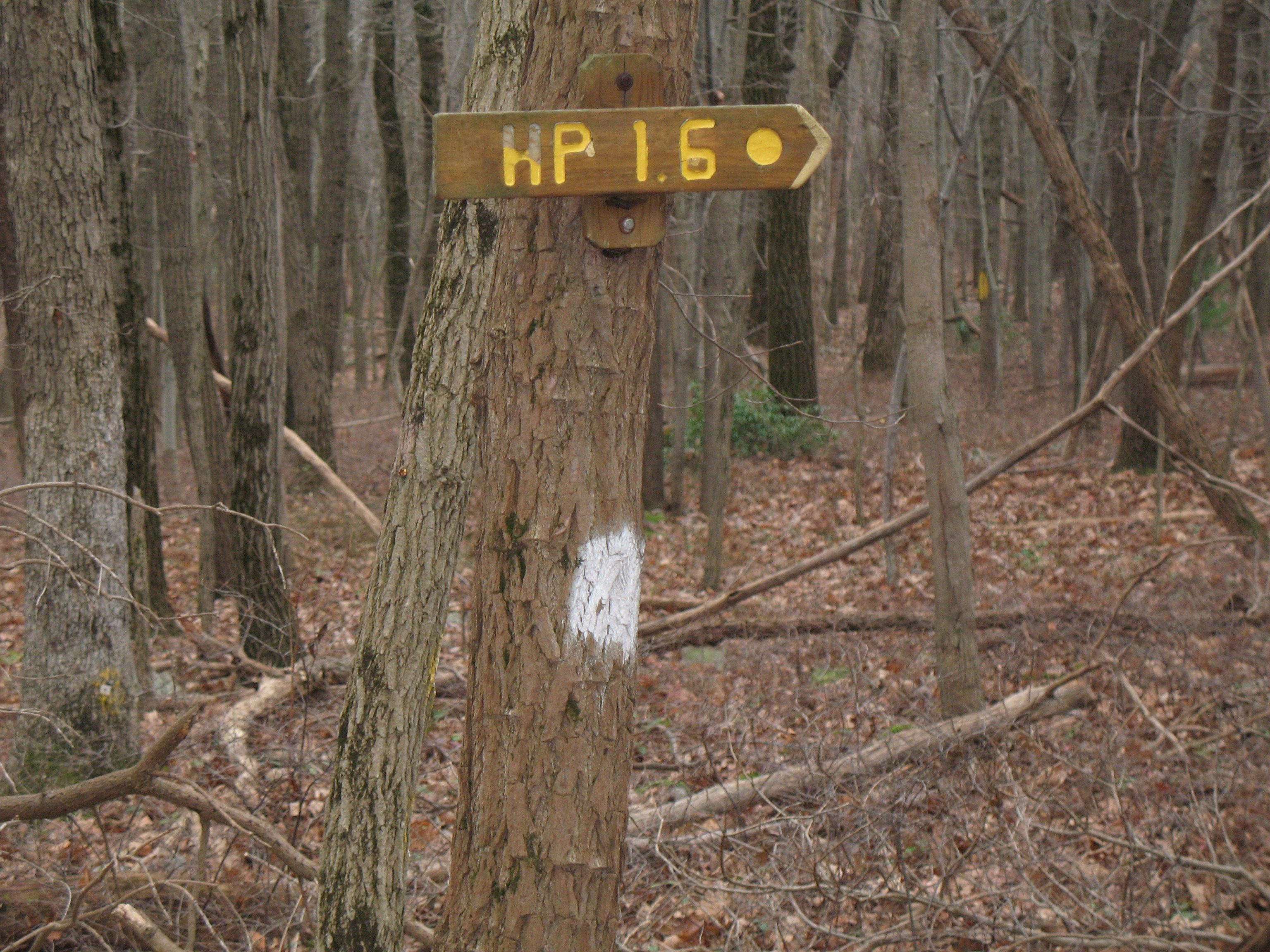
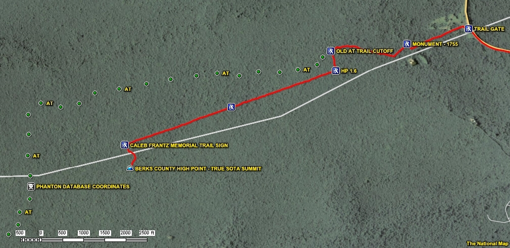
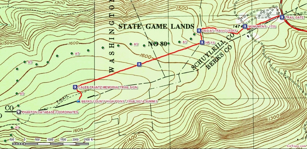
Stepping off from the trail gate, follow the White Blazes of the Appalachian Trail for about one third (1/3rd) of a trail mile. At that point make a LEFT turn at the Fort Deitrich Snyder 1775 Monument (40.5259°, -76. 2288°). Notice the White Blaze directly behind the monument indicating that you are still following the Appalachian Trail. Continue on the AT for another one third (1/3rd) of a trail mile. At this point you have a choice to continue on the AT South, or following the old abandoned AT in the direction indicated by the Berks HP 1.7 sign.
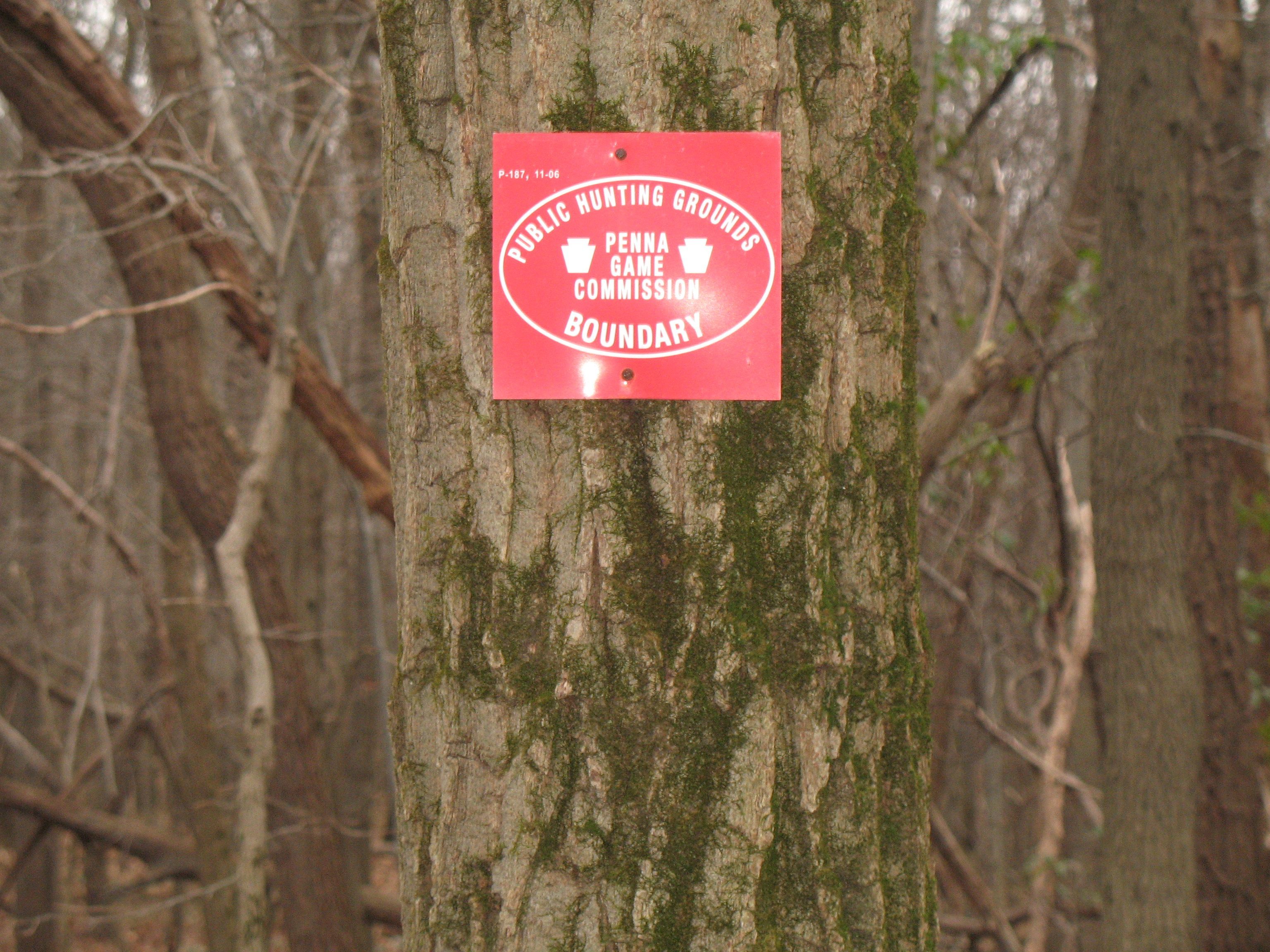
This trail split is at 40.5255°, -76.2352°, and you will be entering SGL #80 no matter which path you take. You already know I am going to the Berks High Point. You might make a different decision. If you turned off (LEFT) on to the High Point trail, it won’t be long till you see an HP 1.6 sign. The short stretch between the 1.7 and 1.6 signs only straddled the SGL #80 boundary. Now you will be turning directly into the Gameland, and I only saw posted SGL signs in this area. But remember, every step from that trail split in either trail direction to either coordinate final location will be made on State Gameland.
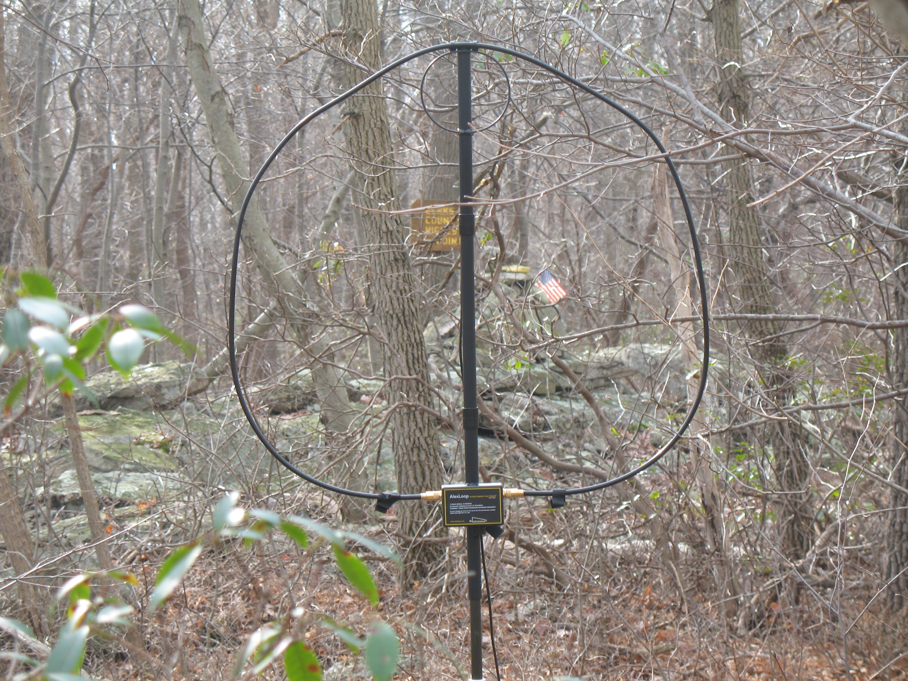
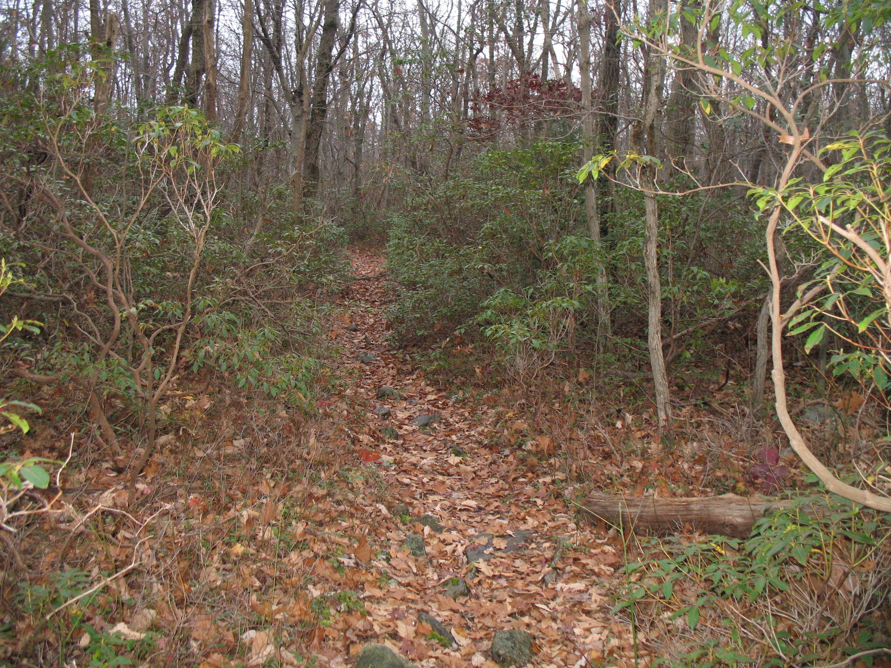
After the HP 1.6 sign, continue on the High Point trail for about one (1) trail mile until you see the “Caleb Frantz Memorial Trail” sign at trailhead coordinates 40.5194°, -76.2528°. The actual High Point is now little more than a tenth (1/10) mile away at the end of the line of Yellow Trail Dots. I set up an operating position just to the east of the summit.
Note that the High Point trail is old abandoned Appalachian Trail. As such it no longer receives the level of trail maintenance that it once did. The biggest change is all the fallen trees that are no longer cleared off of the trail. You must go around or step over numerous fallen trees of all sizes.
I can do the 1.9 trail miles, and 260 foot elevation gain, from the 183 Gate to the High Point in an hour (with just a light pack). For me there was minimum sensation of the elevation increase. On average there is about one quarter inch of elevation gain per trail foot (a 2% grade). There are a few rocky sections, none even close to the Rocksylvania nickname given by hikers to much worse Pennsylvania trail sections. Some of them have short, more hiking friendly, bypasses forming immediately adjacent to the original trail.
And this personal note. If you do visit the actual High Point (and open the Mailbox containing the High Point Log and summit history), please prove that SOTA operators are smarter than High Point Hikers. Figure out how the door latch mechanism was designed to work, and then leave it properly latched. It took me all of two brain cells and 5 seconds, yet I have often “fixed” it again the next trip back because that was too tough a job for the previous trail hiker. I very much appreciated the ingenuity and simplicity of the Mailbox latch design.
AB3TQ