Karl, before I finally bought a smartphone I was successfully using this “poor man’s GPS” device: miniHomer
It remembers 5 POI. Enter the summit coordinates at home using the provided software and it will tell you direction and distance to the summit while you are hiking. Runs about 10 hrs on internal LiIon battery.
Also attached the miniHomer to my bicycle helmet to record tracks. Worked fine. The GPS RX is quite sensitive compared to many smartphones.
Today you can get an entry level Nokia Lumia with GPS at about the same price.
Thanks again folks for all the tips and advise and help.
Certainly most welcome.
Smart phone, hell can’t afford one of those .
Have to borrow the other half,s LOL
Compass certainly a must and map for sure.
Studying area via internet. That is a good one when ever had to find places across the country in me old job or off for the weekend on a bike rally forward planning was always required. For some of these sites of either could again be in middle of no where or just hard to find. Have to bring back some old skills and improve them.
Something to keep in mind (until you experience it by yourself and never forget it afterwards…):
In woods, it it often easy to find the summit as you only have to (follow the paths that) go up.
But when the activation is finished, everything around you goes down and you can very easily “go back” in a wrong direction.
Noting the compass heading when arriving can save you a lot of time… (Or using a GPS that can show your track, but I understand this is not an option for now).
Sorry for my flippant earlier replies but they were both direct and accurate.
Always research the hill you want to tackle first, there are plenty of on-line resources from mapping to walkers review sites, just put the hill’s name in a browser. There are very few in the English regions that would really require anything more than a map of the hill you want to do, most are very well walked and some are so trivial that you can see where you are parked. Leave LD, NP,SB and some of SP till you are more experienced in hill walking and navigating.
The one skill in navigating is being aware of where you are, might sound obvious, but get consciously aware of your surroundings, gates you go through fences you follow, anything unusual or out of place. All these would be helpful if you take the wrong path off a summit, you would quickly realise you were going the wrong way.
Stop regularly on the way up, even if you are not out of breath, and have a look at where you have just walked or climbed from, that is the view you should see on the way down.
This skill of observation on the little bumps can then be used on more serious walks.
I would never recommend using a smart-phone for navigation on any hill there are serious issues in their use in my opinion. Because they tend not to carry the maps on on-board memory they have to access the internet, this is very data-hungry. Along with the requirement of the GPS function to be turned on this can make the phone sap battery power at quite a rate. The main issue is if you cannot access the internet for any reason you have no navigation!
I just had a quick look on ebay and there are loads of the very simple Garmin Etrex GPSr units for sale at reasonable cost. One of these along side a good map (and the aforementioned skill) would give you position information and a way of tracking your path.
Ultimately don’t rely on one method of navigating learn to use them all.
If you do go to G/DC-001 don’t get Yes Tor (with the trig point) mistaken for the SOTA High Willhayes they are a good half mile apart.
Excellent advice. I would just add to this an awareness of the direction that the clouds are travelling, and where the sun is - if you can see it or the brighter part of the clouds that hide it! I think of it as the outdoors gestalt approach, a global awareness of your surroundings, a sense of position. Its probably just a quirk of my character but I almost get high on exercising this gestalt in the hills!
I had to smile when I read these comments… reminded me of when I descended from Beacon Batch SC-003 in the dark. Hmmm, strange how things look different when only illuminated by a head torch…
As Carolyn says, situational awareness is key. Or put another way, you need to read the map with your feet!
What that really means is you need to know how far a km is by feeling alone, walking on ground paths on the level, on no path on the level, on terrible ground or on steep ground. You need to know what climbing 100m feels like.
That only comes with experience from actually walking with a map. You don’t have to walk hills to do this, anywhere will do. But with practice you can soon accurately guestimate where you are by looking at the map and listening to your legs and feet. Seriously. On top of that when walking you look around you for distant landmarks and also things you pass that distinctive.
By all means use a GPS but it should be used in conjunction with reading a map etc. not as a replacement. Know where you are by feel and map then confirm that with the GPS.
Ah, well it was nearing the end of a long day. The lesson learned was not to rush, not to be over-confident.
I was on SC-005 at daybreak, followed by SC-006, SC-002, SC-004 and then SC-003 with SC-010 still to activate in the dark (the best time of day for that one). I didn’t have a GPS at the time and I must have veered off the path after I set off down the hill. It wasn’t much of a disaster on a summit like that, more of an embarrassment. It just made me late on SC-010, but still a load of 2m SSB chasers were in their shacks to work me. You probably wouldn’t get that nowadays. Oh, and it was a Saturday as well.
The same gestalt approach applies in the dark! Are the stars visible, or even patches of stars? If you know the constellations they can be both a compass and a clock. Are any lights visible, from a farmhouse to a village, they can help. You don’t even have to see them, the glow in the sky above a town can be a beacon for miles.
As an aside, aren’t modern headtorches marvellous? Years ago the most popular headtorch was a 4.5 volt battery and a torch bulb, it gave decent illumination for about ten paces ahead and if you were lucky the battery lasted an hour as long as the bulb didn’t fail! Now I have a large LED one that gives decent illumination for about ten times the distance and the batteries will last all night.
Map, compass and learn how to measure your distance by strides/paces are your best options, also nothing beats a good map break when your sucking air from China. If you need to work out your strides for a 100m on flat ground a football pitch is always good, for different terrain you may have to add more strides.
As mentioned previously study the area well whilst planning for your activation. Once you have gathered your information make up a route card of your planned route with check points of key features to stop at and then gather the information from your route card for the next check point. In the notes part you could describe any features along the route to help with your navigation ( keep to left side of stream for 400m to track crosses stream) or to help write a report afterwards if you have the time.
Yes. but I ascended in daylight! I don’t have eyes that good such that I can navigate by the stars in daylight. Looking for landmarks that potentially give off light to guide your descent is all well and good until you go downhill past features in the landscape that block your view.
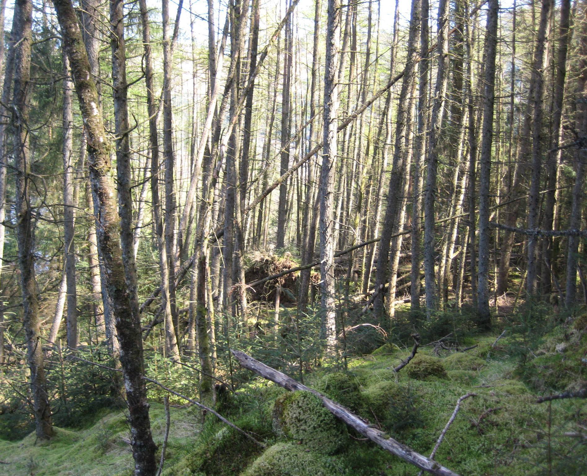
Some of the most difficult navigation I have ever encountered is through Scottish - 1 pointer summit - woods, with the added problem of loss of GPS signal (especially on older GPS’s). As the saying goes “you can’t see the view for the trees” and this is where a GPS would come in handy - it tells you exactly where-your-at!
My trusty (or is that rusty?) compass is always in my SOTA rucksac along with my printed route plan overlayed on a 50/25K map. Never fully rely on electronic ‘gizmo’s’