SM/3DH9BV/p on Högvålen SM/JL-054
In late August, I started for a short holiday trip to SM. Bernd, DH9BV, was already on his way in SM and we were commited to meet up somewhere near SM/DA-004 Hovfjället to spend a nice time playing radio, hiking, driving our vans in an amazing scenery and making fires at night, so-to-say a men’s holiday.
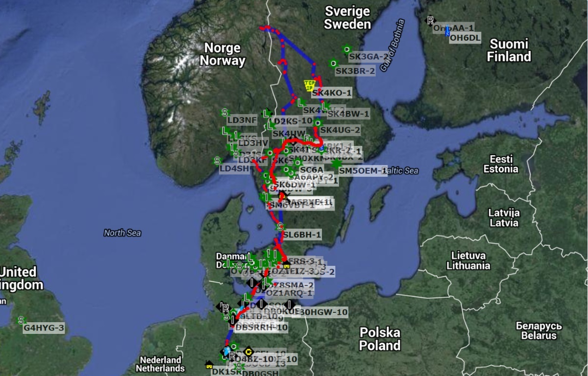
APRS track DG7ACF-9
You never know what the SM weather will be like in late August. Usually it’s the time of the year the scandinavian summer turns into autumn. But we were so lucky with the weather! Almost any day was more or less sunny and most of the days temperatures were peaking at 20 - 25° C. Though, on the summits there ususllay were quite cold winds.
Nine summits were activated, two of them (SM/DA-034, LA/ST-094) for the first time ever. All QSOs were made in SSB, most on 20 m. This seemed the only working band, especially from SM3. 10 m was just dead and as an central european I was surprised how clean and quiet 40 m can be at daytime. That’s the north…
DH9BV-9, DG7ACF-9, and SM/JL-052
Some of the chasers seemd a bit confused about our almost daily changing DX prefixes. When operating unter T/R 61-01 in Sweden you can either use just the SM prefix or indicate the province you’re operating from by adding a specific number. As we’re both familiar with SM it was out of the question to indicate the province which resulted in vulgarly long call signs. But all the chasers have sharpened pens and paper, don’t you?
20.08. SM/VD-002 Baljåsen 301 m asl
SM6/DG7ACF/p
Parked at N59 04.672 E12 28.687 ca. 1 km southwest of the summit by the gravel road and from N59 04.829 E12 28.885I followed the marked path to Baljåsen. 13 QSOs on 20 m SSB.

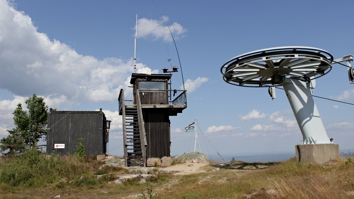
21.08. SM/VL-004 Hovfjället 542 m
SM4/DG7ACF/p
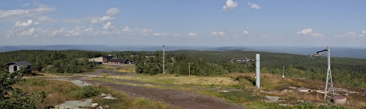
Sweden’s southernmost fjell. Almost a drive-on summit. Nowadays there are trees and loads of tourists on the summit. Not much of the quiet spot Hovfjället used to be years ago. I built my shack on the tower at the ski-lift. 51 QSOs on 20 m, s2s with F/EB2AOC/p on F/PO-173, EA2ECA/p on EA2/BI-067, EI3KA/p on EI/IE-007.
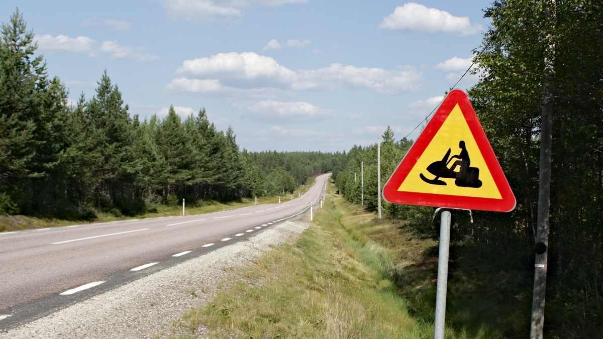
These signs must be new…
22.08. SM/DA-034 Näsfjället 905 m
SM4/DH9BV/p, SM4/DG7ACF/p
SM4/DH9BV/p
First activation of SM/DA-034 and first joint activation with Bernd, DH9BV. Parked outside Näsfjällsbyn at N61 23.069 E12 54.757 and followed the scooterway for 2,5 km until we reached the top. 3 QSOs on 40 m. 32 QSOs on 20 m, s2s with OE7PHI/p on OE/SB-219 and GM4COM on GM/SS-070.
Activation zone
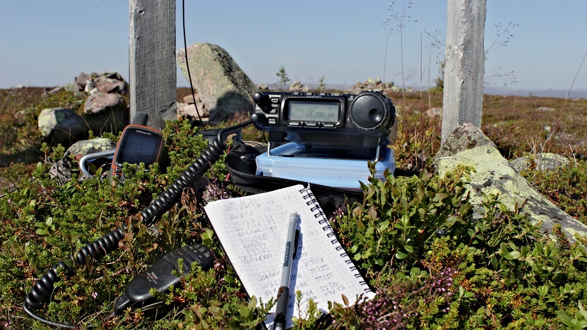
The shack
Yeah, rock!

Skål!
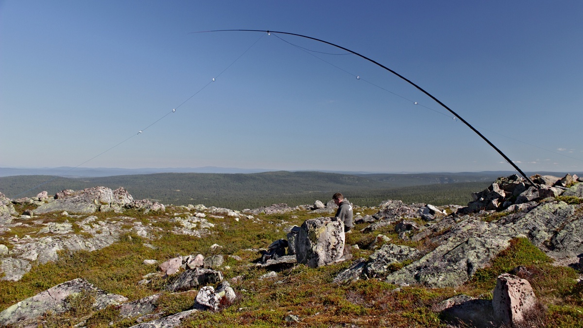
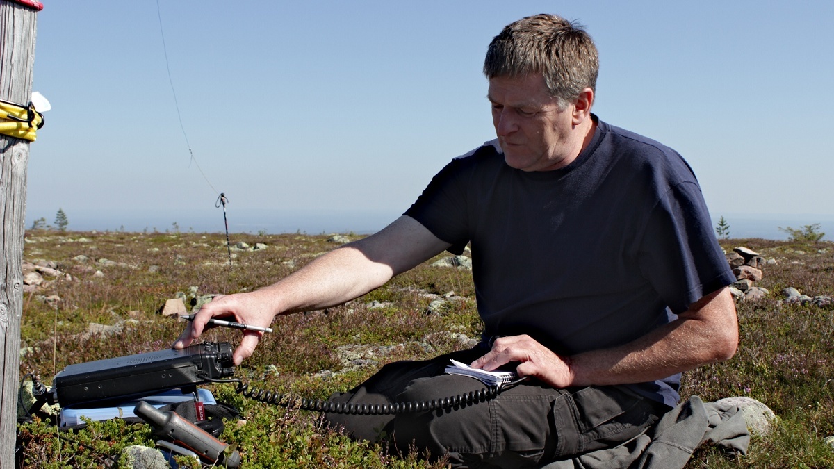
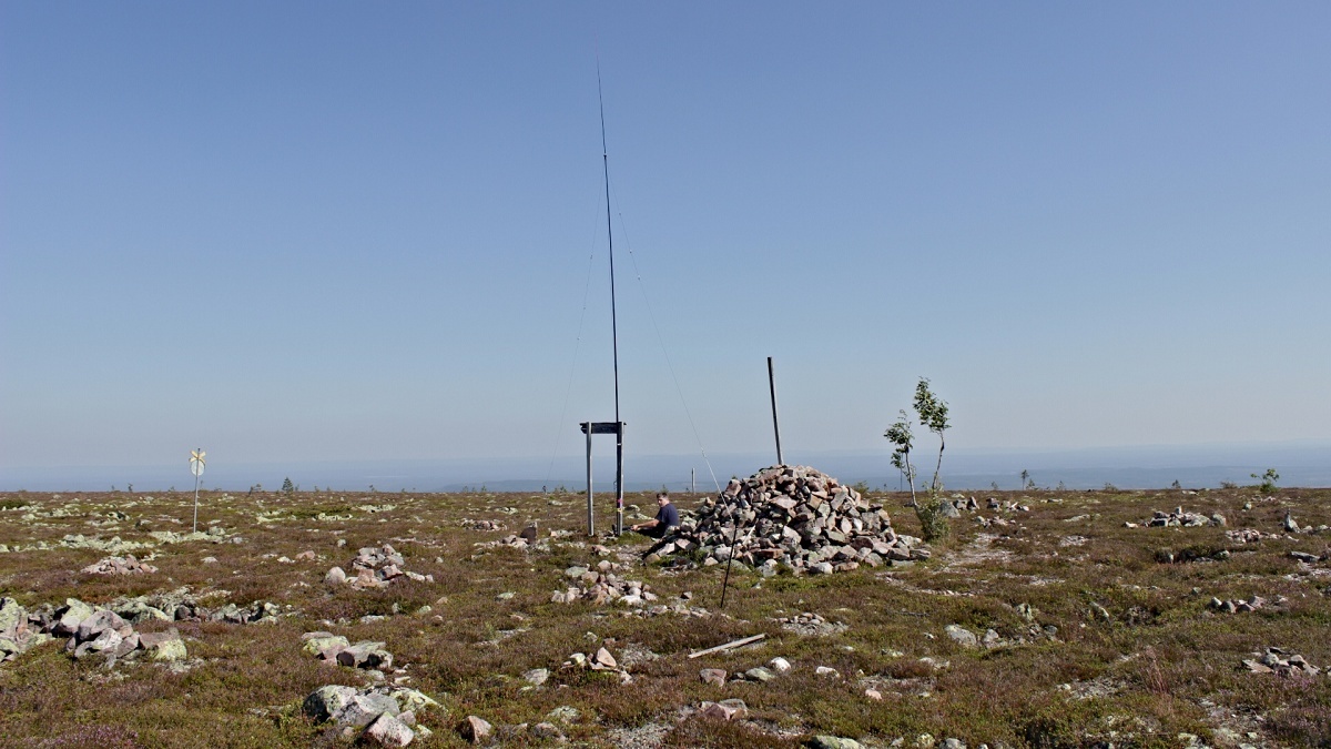
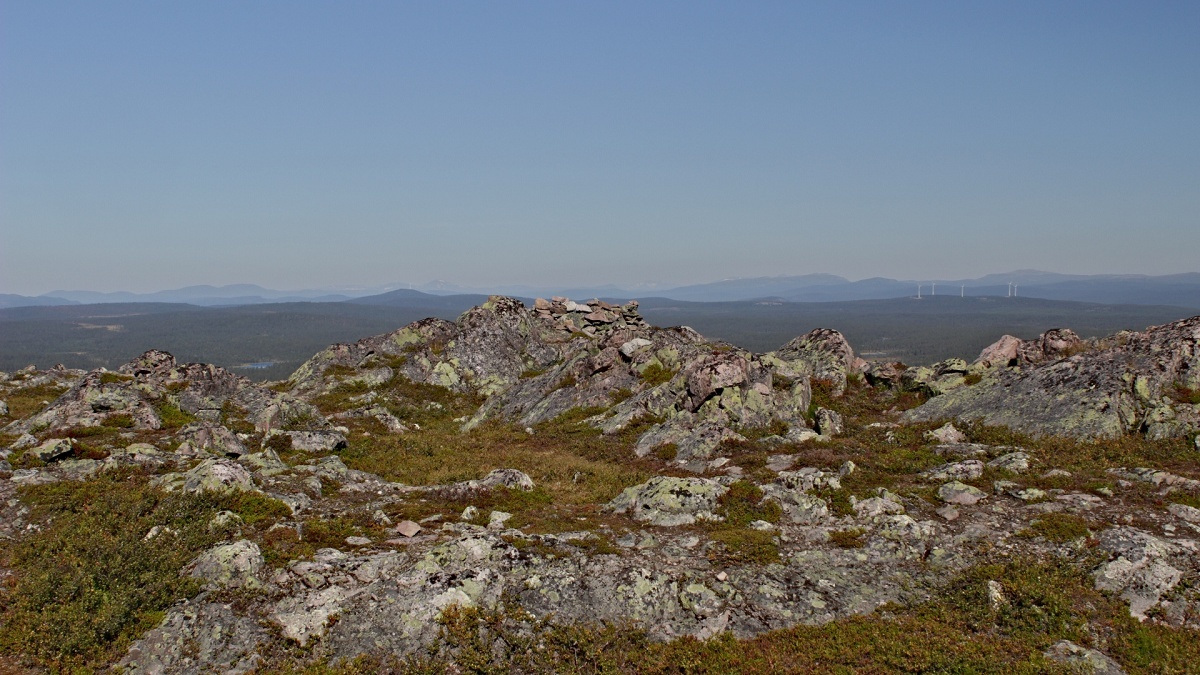
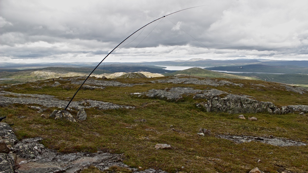
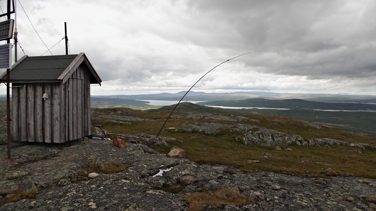
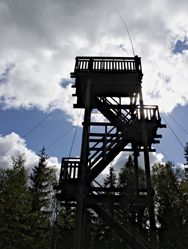
24.08. SM/JL-054 Högvålen 955 m
SM3/DH9BV/p, SM3/DG7ACF/p

Parked at N62 15.928 E12 55.018 and then followed the gravel road to the summit. Scandinavia really showed its best. Great lights, amazing scenery and fantastic views! On the bands, it was just the other way round. Again, not the best condx but 20 QSOs were made on 20 m.

Fixing it. No third hand required.
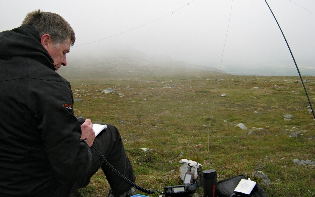
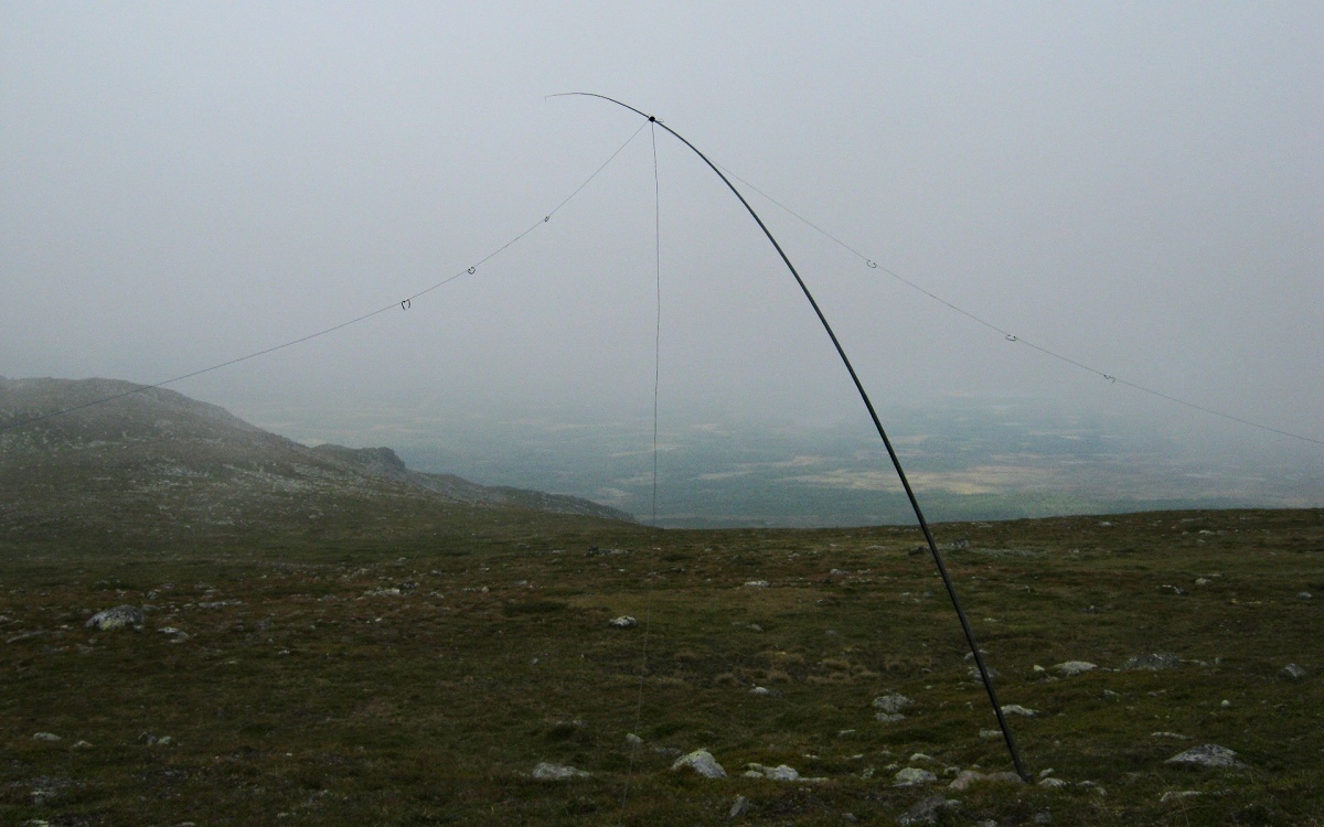
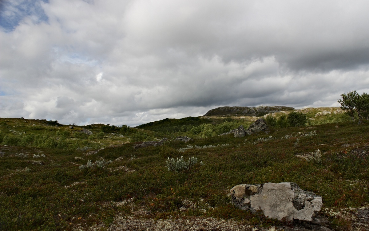
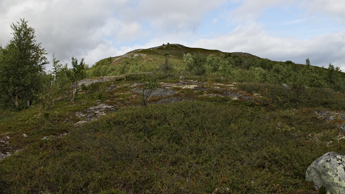
25.08. SM/JL-020 Ånnfället 1301 m
SM3/DH9BV/p, SM3/DG7ACF/p
9BV in the clouds
The 20 m band was in a terrible shape. Other bands seemed just dead. After self-spotting 4 QSOs were made. Parked at N62 36.001 E12 37.034 and follwed the marked path to the summit, 5 km one way and nearly 500 m in height.

Wind? What wind?

Apré SOTA operations at a layby we stayed overnight
The day after this activation, Bernd had to return to DL and headed south. I wanted to add another association to my statistics and crossed the nearby Norwegian border after placing a cache of alcohol in the Swedish woods as I had an unsuitable amount of alc onboard for travelling to a non-EU country.
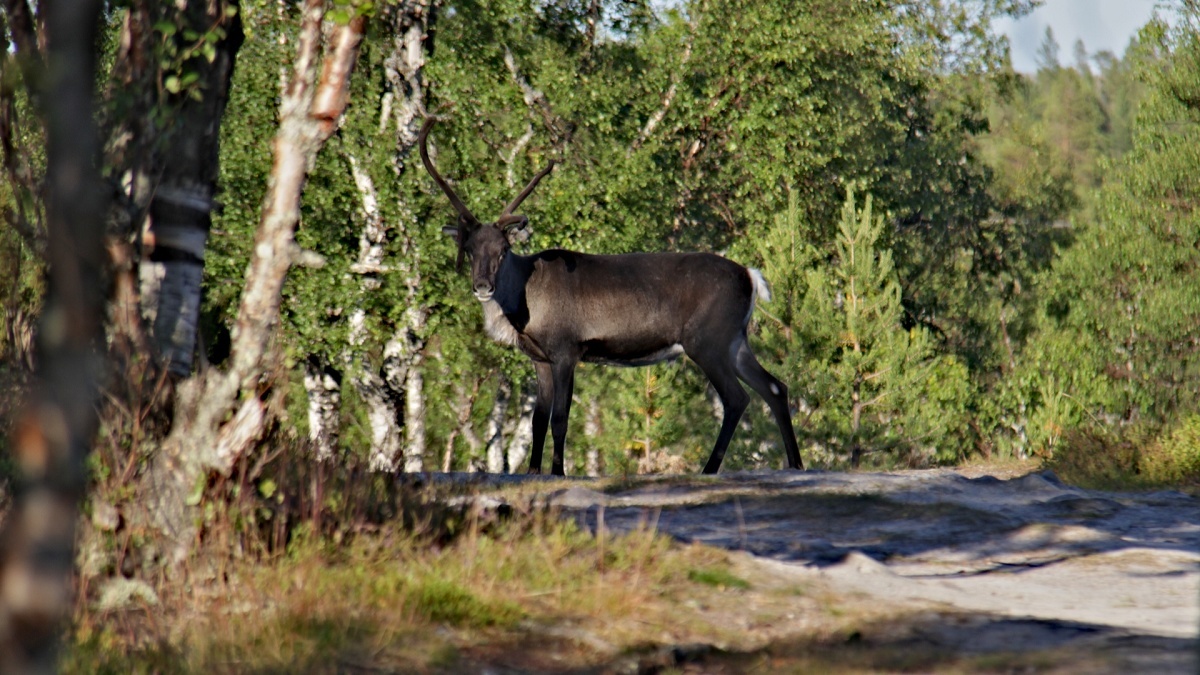
A local
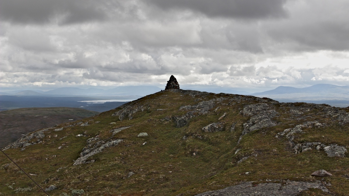
26.08. LA/ST-094 Storhøgda 1073 m asl
LA/DG7ACF/p
Another first activation. The map showed two hiking paths to the summit. The shorter one starts east of the summit, has 400 m in heigth and an exceptional steep passage. The longer one starts at N62 35.699 E11 42.263 follows a gravel road and has only 300 m vertically. I decided to make it easy and take the longer option. But after 2 km the raod got smaller and smaller, turning into a non-marked path with rocks and heavy overgrowth. Several times, wading was required. Due to the missing waymarks I lost the trail every now and then, but the GPS-thingy always led me back to the trail. So, the ‘easy’ trail turned out to be 10 km one way and challenging even for experienced hikers. But all this was defenitely worth it! All in all this was the best hike i did in this amazing nordic scenery.
On the way
Last mile to the summit
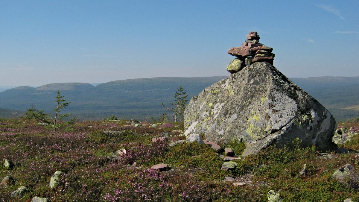
Trig point
Commercial repeater and a non-commercial portable station
28.08. SM/DA-029 Ärteråsberget 468 m
SM4/DG7ACF/p

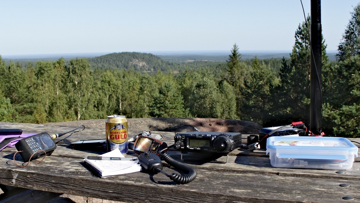
It was raining cats and dogs all day long. So I decided to make some miles and headed back south. Around tea time I arrived at N61 14.766 E15 05.751 and waited for the rain to stop. It did late at night and so I stayed overnight to activate Ärteråsen the next day right after breakfast. The morning was absolutely lovely. But after I installed my station on the summit I found all the bands dead! Checked the linked dipole, but everything seemed fine. I decided to sit and wait and have a cuppa tea. It took an hour, but then all of a sudden 20 m opened into europe and a self-spot resulted in a nice pile up. What is this? Has somebody just switched the band on?
After the activation I spent the rest of the day down the slope in Ärteråsen Fäbod, a small village of wooden lodges from the 16-18 hundrets. During summer, the young girls of the surrounding farms lived in this village taking care of the cattle. During summer theere is even a café in the Fäbod, but Swedish summer officially ends in the beginning of August so I was nearly on my own there. Later on mother nature entertained me with an extraordinary dramatic scandinavian sunset. Have you ever seen blue skies, purple clouds, the full moon, the sun and a rainbow at a time? This was breathtaking!
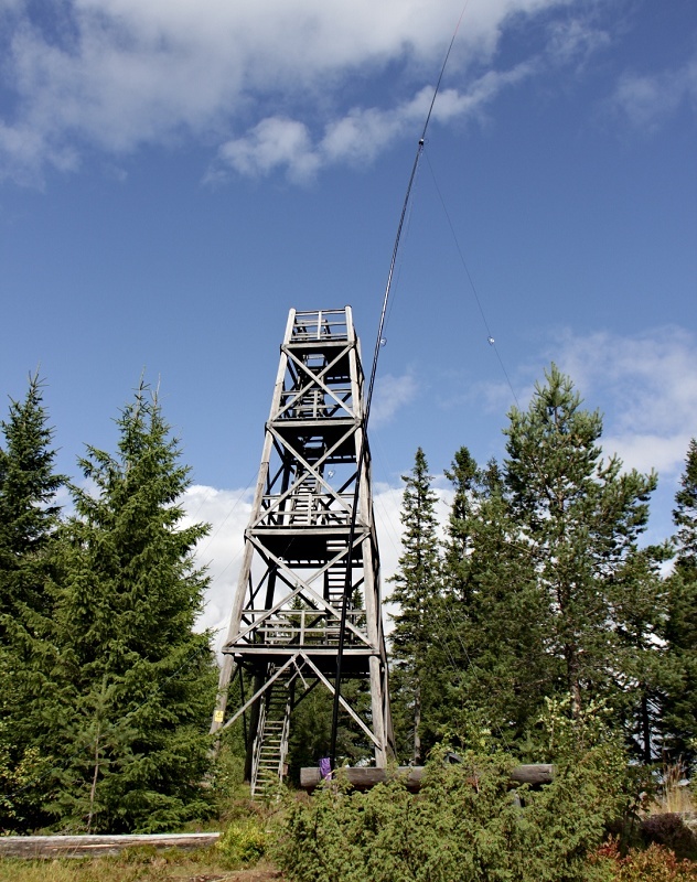
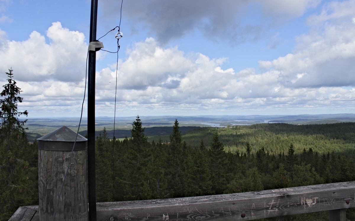
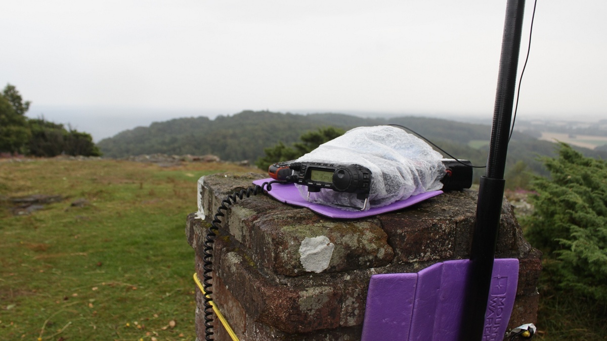
30.08. SM/OR-001 Kindlahöjden 425 m
SM/DG7ACF/p
Vertical feeding point
It looked so easy on the map…
There’s a car park at N59 45.538 E14 54.472 just 1,5 km from the summit. But it seems, it’s Sweden’s worst gravel ‘roads’ leading there. After the activation I drove another gravel road to get out of here, but it got even worse! After some kms the ABS light indicated a malfunction, but this is no surprise when you drive for kms at less than 20 kph with no grip and the tyres skidding all the time on the ground. It felt like hours to get back on tarmac and I was glad to have proper ground under my tyres again (though I really love driving on gravel). I then toggled ignition and the brakes were fine again.
But back to radio… The hike is short and not that steep, but can be very boggy. On top of Kindlahöjen there is an outlook tower where I built my shack. This time I used the linked dipol vertically, with one half tied to the mast and the other half sloping down the tower. 20 m sounded as it does at home and the night before I wondered why it was getting dark hat early. Two facts that tell you, you’re more and more coming south…
17 QSOs found their way to my log, s2s with HA2PP/p on HA/KD-045 and OE5YYN/p on OE/NO-001.
Outlook tower

Summit logbook
31.08. SM/SE-001 Kullaberget 187 m
SM7/DG7ACF/p
SM7 tried to make it as easy as possible for me to say good-bye. The weather was dreadful and I couldn’t hardly see the Kattegatt due to rain and clouds. I wasn’t very keen to stay for very long and so I worked the rather small pile up of 7 stations and packed my things after nobody answered my cq calls anymore.
Ahoi
Pom