A puncture on the way to a different summit had a knock on effect on SOTA activations. I had to change the tyre, drive to the airport to visit the hire company, swap my car and arrange paperwork before I could return to activating. I swapped to this summit because I knew there was an access road to the military radar site and I would be able to make swift progress unlike my preferred site. Both had been activated before though. Same equipment as Carbon EA8/FU-012. Unlike that activation, the WX went from sunny to cloudy and the wind got up. It was (relatively) cold on the exposed summit, one of the factors that made me quit early. The others were the broken propagation and being scared at how I would get down.
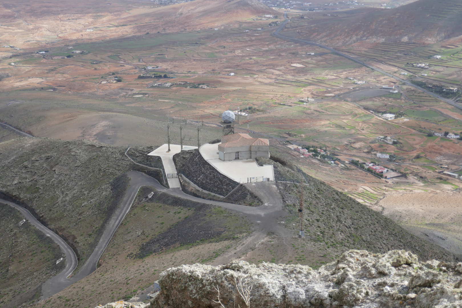
Looking down on the radar and comms site from the very top of the summit.
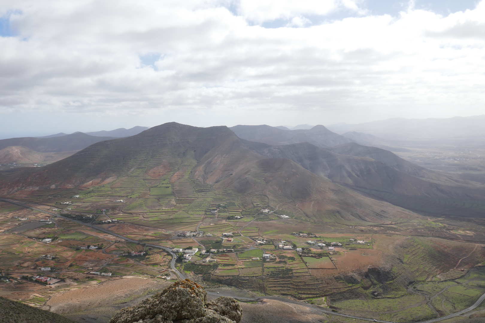
Neighbouring SOTA summit EA8/FU-003 Aceitunal
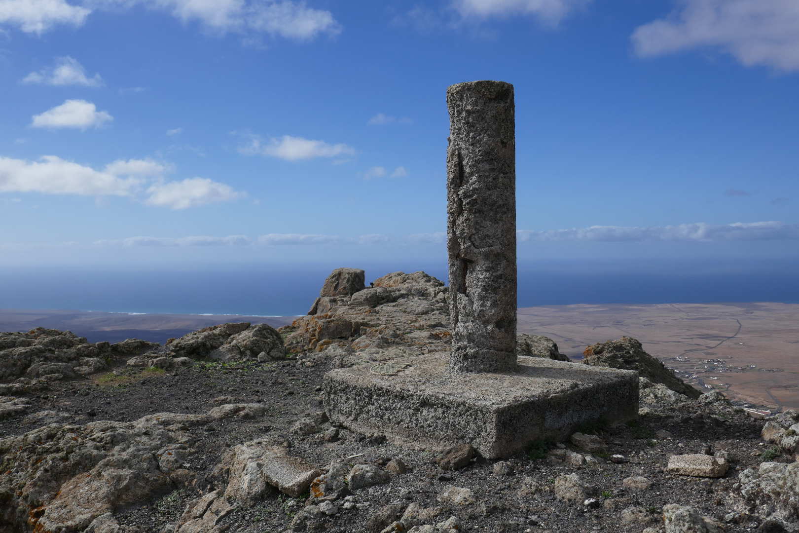
Looking NW. If you continue this way, the next land is Newfoundland, Canada. The WX was significantly better over the Atlantic than over Fueteventura itself.
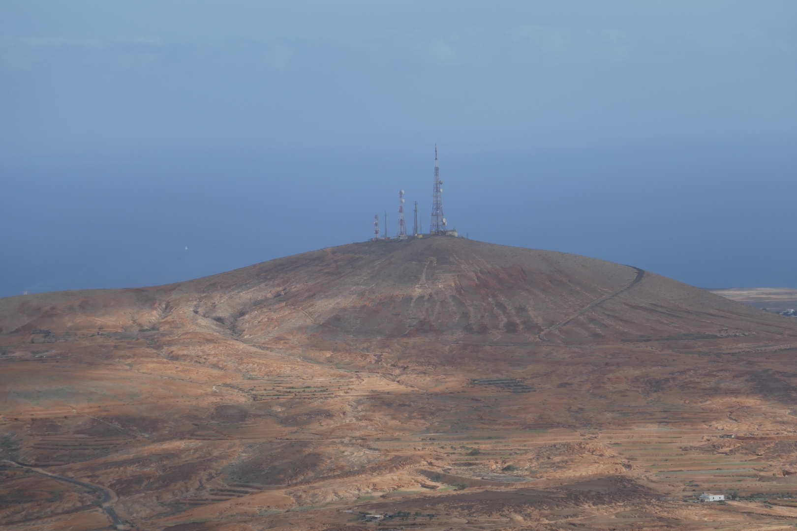
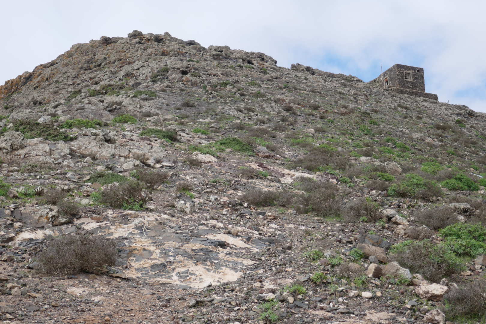
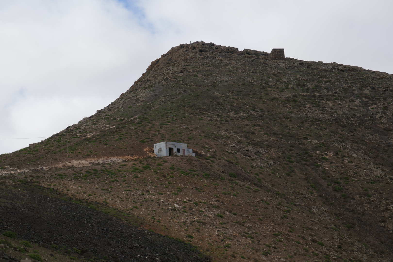
I thought this was another SOTA summit but it isn’t. Shame as there is an access road to the very top. Though most summits with this density of commercial transmitters have very high levels of blocking.
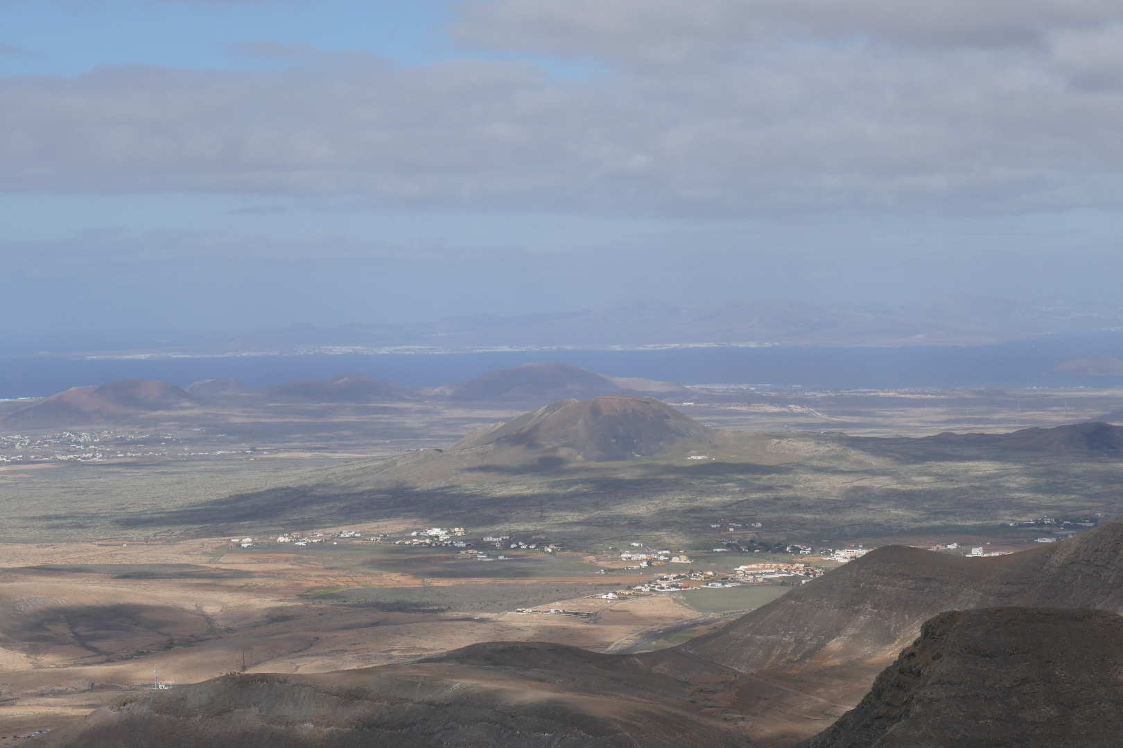
The sunlit summit is EA8/FU-039 Roja which I activated in 2016 on NA<>EU S2S day.

The summit in the middle distance is EA8/FU-042 Calderón Hondo which I also activated back in 2016. Across the water you can see Playa Blanca, Lanzarote.
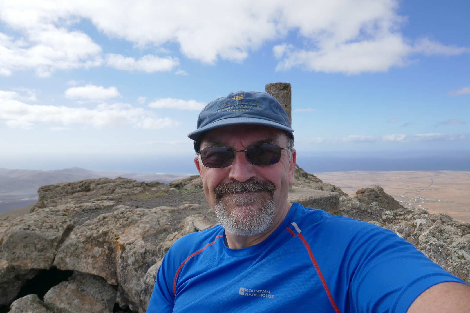
A forced smile, I was extremely uncomfortable with concern about how to get down safely. In hindsight, it wasn’t that difficult when approached with extreme caution.
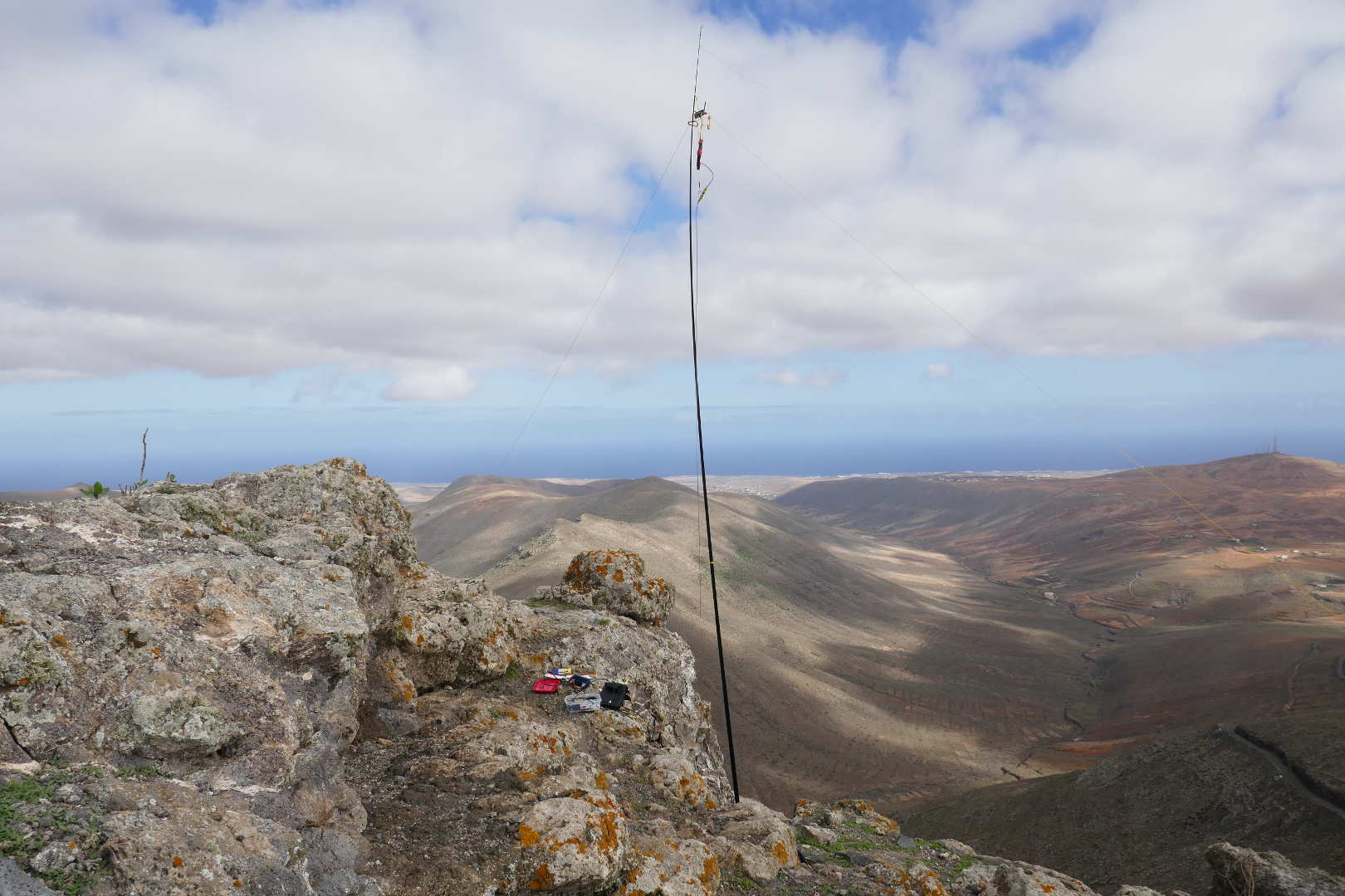
Antenna wedged and held in place with loose rocks. 17/20/30m dipole on 5m mast. A poor match as the angle was all wrong. It worked on 20m enough for 4 contacts with a struggle.
Taken on the way down once I reached better ground. You can see how steep it is and the horrible surface of gravels and small stones the size of marbles on a hard rocky under layer. Not nice.
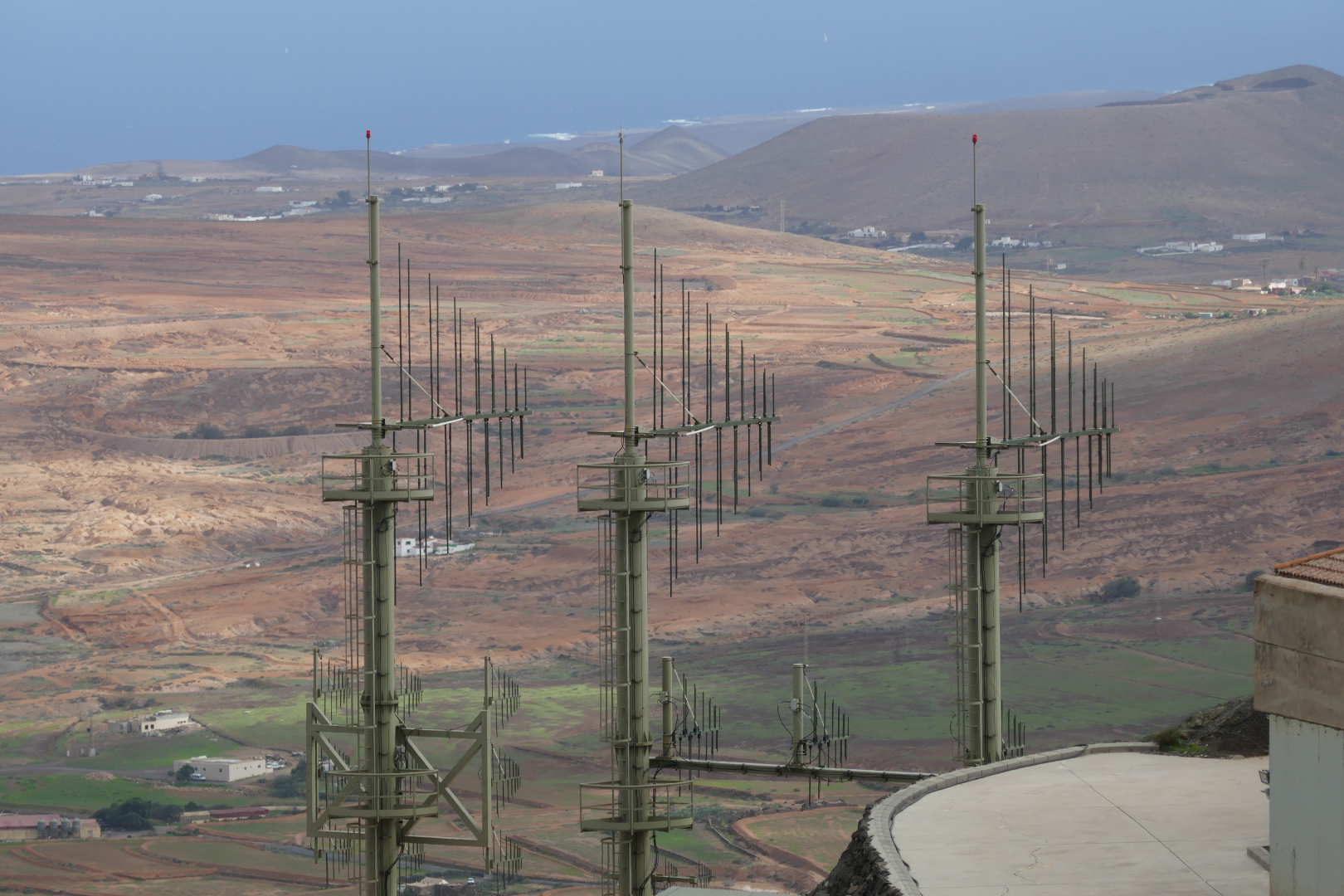
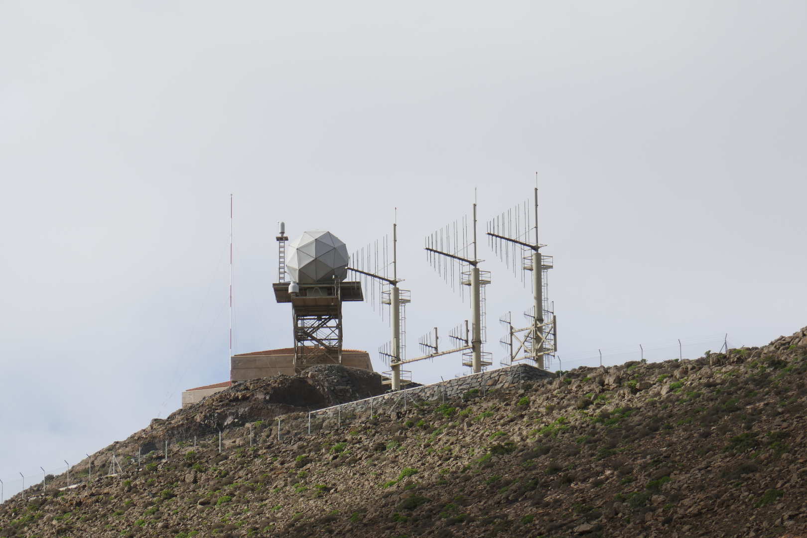
Want! Fantastic set of log periodics for HF and VHF belonging to the Spanish military.
Another view of the stupidly steep final climb. I find it hard to think I even attempted this.
A view of the military antennas from the road. The small cylindrical radome is a TACAN antenna I think. The geodesic radome holds the S-band scanner, you could hear the mechanism and it sounded like it was spinning very fast. I assumed the RF was switched off when the scanner was pointing into the mountain proper. No point deafening the RX and causing lots of local clutter on the displays.
In the end only 4 QSOs and they were a real struggle. Maybe it I hadn’t been delayed and scared witless I would have stayed longer. I was glad to get back to my new hire car, bar of chocolate and a drink.