The forecast wasn’t good, and although it wasn’t raining first thing there were clouds on the higher hills, and the forecast was for a band of heavy rain coming from the west in the middle of the day, with showers either side. If we were going do any hills they would need to be small ones, and we decided that by going east we might manage to get a hill done before the rain.
We didn’t go very far east, driving the short distance round the minor coast road to NG560303. This has to be one of the worst surfaced public roads we’ve driven. There is plenty of space to park in the wide entrance to the forestry track, and for the first time in the week it was calm enough that we were troubled by midges as we prepared to set off. We went a short distance down the track to just before the first stream, where we found a narrow path heading up the hill, before long it crossed the stream and headed up the other side. We followed it but this later proved to be a mistake, as it disappeared and we had to make our way through heathery vegetation which was hard work. We persisted ascending on the west side of the stream until we reached a flatter area with what we guessed was an animal path running horizontally. Ahead was a craggier section and the ground looked easier to the east so we contoured round to be on the spur further east, before heading up over more rough ground. As we approached the summit we caught a glimpse of a red deer doe silhouetted against the sky, but it rapidly disappeared.
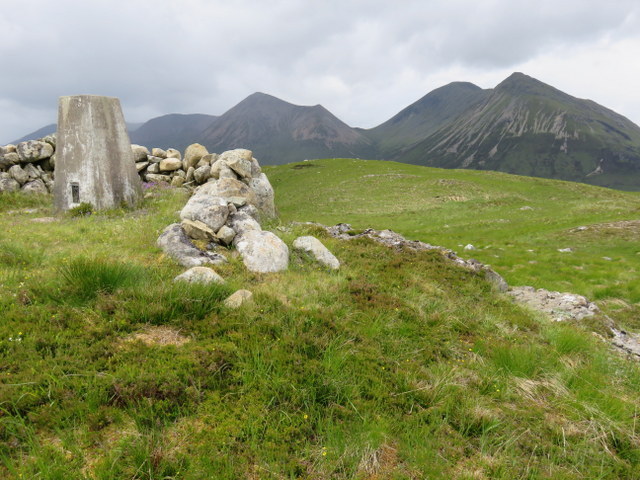
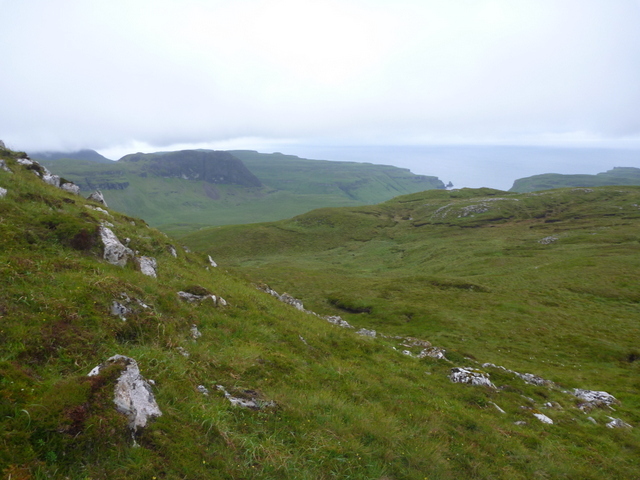
GM/SI-158 Meall a’Mhaoil towards Glamaig
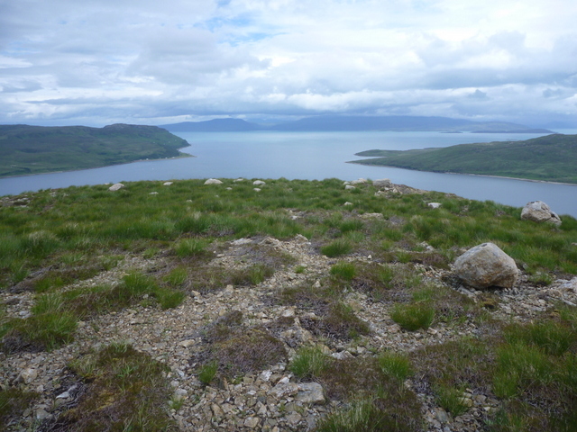
North from GM/SI-158 Meall a’Mhaoil
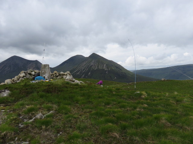
Stations on GM/SI-158 Meall a’Mhaoil
Despite the forecast the Red Cuillins were mostly clear of clouds and we were almost regretting not trying Glamaig instead., though there was a noticeable breeze at the summit. The trig point was surrounded by a low shelter which provided almost no protection from the wind, but there were good views in all directions: Red Cuillins, Scalpay and Raasay. Caroline bungeed the VHF antenna to the trig point while Martyn set up HF on the slightly sheltered side of the hill. Caroline got 3 VHF contacts, two of which Martyn also grabbed. 5MHz wasn’t playing, and Martyn struggled to make just one contact, so we both needed contacts on 7MHz to qualify the hill. Martyn grabbed 2 to get qualified and then let Caroline take a run of 12. Since the weather still looked reasonable Martyn tried 14MHz where 9 contacts made his log look respectable.
Later than expected, rain bearing clouds were approaching as we descended. This time we stayed on the spur on east side of the stream where ground was slightly better than on our ascent. The rain was just starting as we returned to the car, so we quickly unloaded. Given the forecast of a band of rain moving west to east we drove west in the hope of driving through it to find the showery weather that was supposed to follow the rain. There didn’t look to be much parking on the single track road to Talisker, and we had feared we might need to park in Talisker itself, but we spotted a small disused quarry at NG339306 where we could pull off the road.
By now the rain was torrential: we weren’t going out in that! After a few minutes the rain seemed to be easing, but then it came down heavier again and the clouds dropped even lower in the valley. Caroline got wet just going from the driving seat to the back seat in order to be able to put her boots on (Martyn not having changed out of his). There was no mobile phone signal so no chance of using a weather app to guess how long the rain would persist. We sat in the car looking at the rain, and calculating what would be the latest sensible to time to set off. Caroline decided that her no longer entirely waterproof walking trousers weren’t going to be enough protection and somehow contrived to extract her waterproof over-trousers from the rucksack in the boot and don them in the car. Martyn decided to risk just his not very waterproof waterproof walking trousers. After more than half an hour sitting in the car boredom was setting in and the rain had become lighter, so we risked it.
We walked back down the road to cross the bridge over Allt a Bhathaich and headed north over a boggy area to the east of the stream, picking up a sheep path running above the stream. The clouds had lifted enough for us to see the cliffs/ridge of Na Huranan, and where the stream bent left we carried straight on to skirt round the outcrop at the west end of the ridge before dropping down to cross the stream. By now the clouds were closing in, but we could see more outcrops to our left as we headed northeast towards where we judged the summit of Arnaval to be. The clouds were just lifting off the summit as we threaded our way through various lumps and bumps to the highest point: no trig point on this one, and it was too windy for comfort at the top, so we dropped down on the more sheltered side.
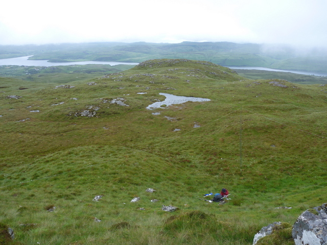
GM/SI-128 Arnaval towards Loch Harport
GM/SI-128 Arnaval towards Talisker Bay
Given the dampness, Caroline opted to just use the rucksack antenna and handheld for 2m, getting two contacts which we both grabbed. Martyn set up HF on a flatter area below the summit, and found 5MHz in slightly better condition and qualified the hill with 8 contacts before passing the HF dipole over to Caroline. By now the clouds has closed back in again and rain was coming down again, Caroline grabbed 9 7 MHz contacts to qualify the hill, during which time the weather improved enough for her to try 14MHz: another 5 contacts. We managed to get some glimpses of views in between the cloud and rain before returning to the car. We had both got rather wet: Caroline’s double layer of waterproof trousers had been rather hot on the ascent but she had remained reasonably dry inside, but needed to change into dry trousers before driving back. Martyn’s waterproof walking trousers hadn’t been up to the task. We need new waterproof trousers!