In school my teachers often told me that the English language would be such an easy language to learn. But it seems that at this time I got a heavy resistance against those words of wisdom. Mathematics, physics and chemistry were a lot more funny to learn than cramming the vocabularies of foreign languages 
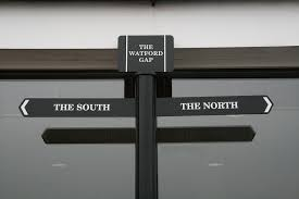
An example that annoyed me all the time was that I mixed up such similar looking words, like descent and decent  Reading or hearing these words in the context of a complete sentence wasn’t too difficult. Problems arose as soon as I had to write it down, then the chance was very high that I chose the wrong one.
Now, after my latest SOTA activation, last Monday, I’m full of hope that I’ll remember the correct usage of this words for a longer time 
During this SOTA activation, I first climbed up an IMHO very decent summit, which despite of its decent prominence of nearly 500 m does not have a decent SOTA reference. Afterwards the descent from this first decent summit, took me down to a lower summit. This second one now, in fact, had a decent SOTA reference, but I guess its prominence wasn’t decent enough, due to the fact that I had to descend from the first one. I wouldn’t call this second summit a descent-summit, i.e. in the meaning of a rubbish-summit, but I wouldn’t be surprised if the second one will loose lose its SOTA reference in the future, because of its lack of a decent prominence.
Did I get it right??? Suggestions for improvement will be much appreciated
After lots of theory, let the pictures speak for themselves:
I started my SOTA tour in the morning in the Salzburger alpine region OE/SB with splendid weather. The first part was mainly a rocky trail with some scramble sections in between:
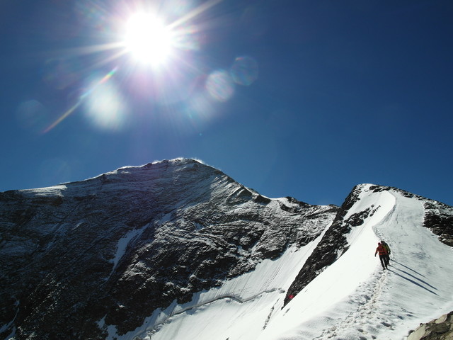
At a height of abt 3000m ASL the terrain changed to a more snowy and icy trail. At the right side of the photo you see the wretched leftover of a formerly very famous ice ridge here in the Eastern Alps. Thanks to the global warming this ridge will not exist much longer
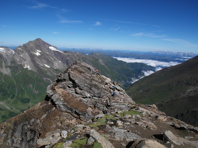
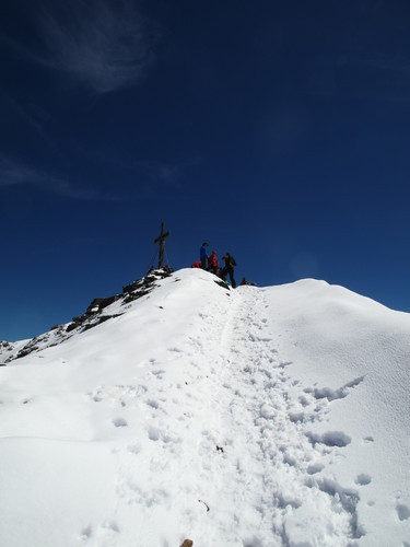
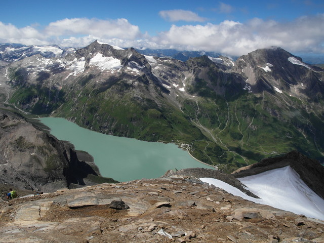
On the picture above you see two summits, one in the center and one on the right side. Guess which one is the decent summit and which one the descent-summit?
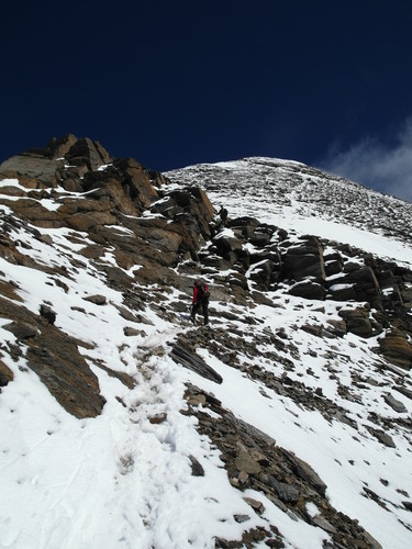
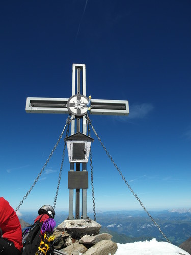
Before enjoying the SOTA activation, I carried my HF-equipment a bit uphill in order to enjoy the great view. First passing some more scramble sections:
And finally climbing up a nice snowy ridge:
Even if this summit did not have a valid SOTA reference, it was no waste of time to climb up, because of the great panorama.
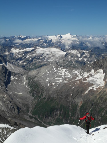
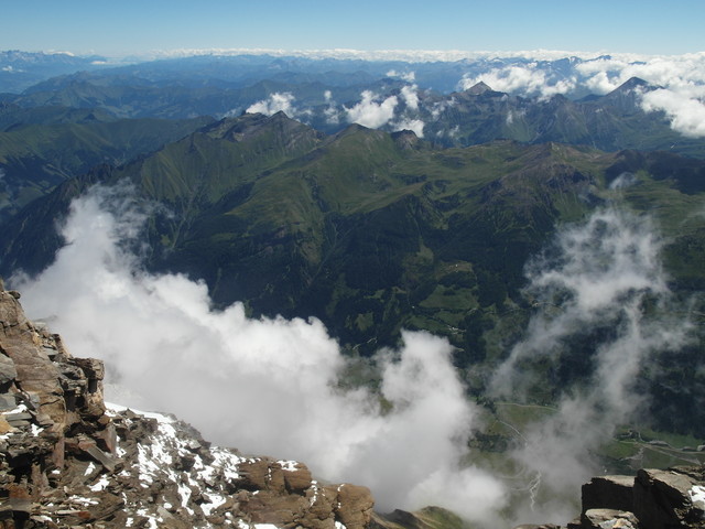
Unbelievable, that the valley, here partly covered by the clouds, is abt. 2400 height meters below the top of this summit.
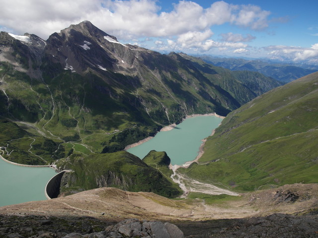
During my descent down to the SOTA summit, with the reference OE/SB-004, a nice view to an artificial lake appeared:
My SOTA activation of the Oberer Fochezkopf, OE/SB-004, turned out to be a little bit difficult. Because of the rocky ground I wasn’t able to fix my antenna and therefore the setup got really inclined:
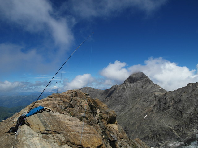
At the beginning of the activation I was shocked, because the output power was only abt 0.1 to 0.2 watts. Fortunately after disconnecting and reconnecting the antenna cable the output power raised up to a luxury of 2.5 watts
At least, it was enough to collect nearly 20 contacts on the 20m band.
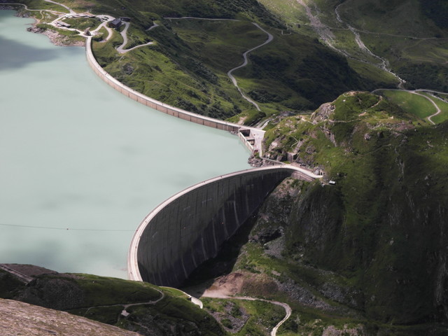
The further descent took me finally to two artificial lakes with its impressive retaining walls:
Once again, thank you very much for all contacts.
73 Stephan, DM1LE