There are two summits called Craiglee. There’s this Craiglee and the other one! This was the Loch Doon one, SS-152.
#Craiglee SS-152
The problem with a ruck of summits around The Awful Hand or Carrick Forest is that they are damn awkward to get to from where I live near Edinburgh. The good roads run North South. Or East West between Glasgow and Edinburgh. To get to the South West is a pig of a drive aound slowish A roads and through former mining/steel towns. It’s about 74miles to the Craiglee carpark. It took 2hr15mins to drive such a piddling distance. That’s a reason I’ve not been down here that often, it takes forever and costs a fortune in fuel. But if I want to complete the region…
Craiglee is commonly climbed from the Loch Doon castle carpark on Loch Doon. That’s 7miles down a “dead end” road from Dallmellington which as I already said takes longer to reach than driving to Proxima Centuri. OK I exaggerate a little. It was a good day. No, it was probably one of the best walking days I can remember. Wall to wall blue sky, a gentle cooling breeze and not too hot though it was warm by afternoon out of the breeze. Loch Doon is a popular place for overnight campers. Most people had not wandered far from the cars because they would have to carry the beer further. Some were fishing, some walking, some mountainbiking, some riding trail bikes (I think that’s illegal) and most recovering from last night’s beer. I smiled and made polite conversation to the others in the car park and made sure the pickup was locked and nothing valuable was in sight!
I followed the Craiglee trail. This is an easy path that climbs up the first hill, Wee Hill of Craigmulloch. The path runs to the top. From here you have to make your own way to Craiglee. Hoho, Galloway ground! Now I read that Gerald and Paul decided to miss out this first hill and contour round to save time and effort… wrong! I hate climbing to only descend and there was 60m of unwanted ascent and descent climbing Wee Hillof Craigmulloch. Or go around. But it’s Galloway Ground and having seen how bad it was as I climbed the path I decided it’s always, always quicker to stick to the paths here than make your own way. Up to the top then and survey the best route across 1.2km of boggy tussock grass and heather. Every step an ankle breaker with no easy way to go forward. Apart from the WX has been very dry, something like a 1/3rd the normal rain in the last 6weeks so the bogs were dry. Well not dry but you only sank a 1cm or so. This made crossing the col easier. Not easy but easier than if the grass was thigh high and the bogs wet. It was hard work still but I made myself smile by thinking what it would be like to do this when the WX was not so fantastic.
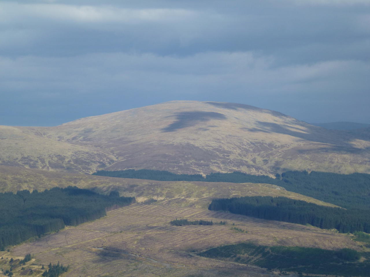
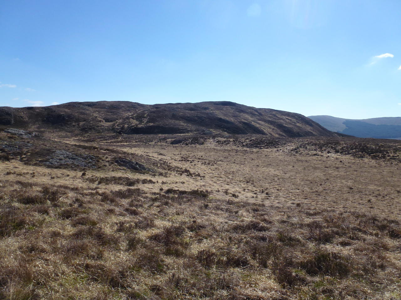
The view back to Wee Hill of Craigmulloch, you just know from those colours what awful ground that is.
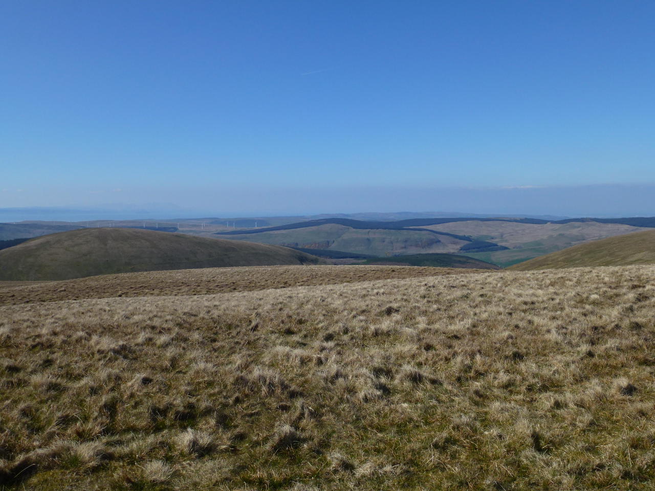
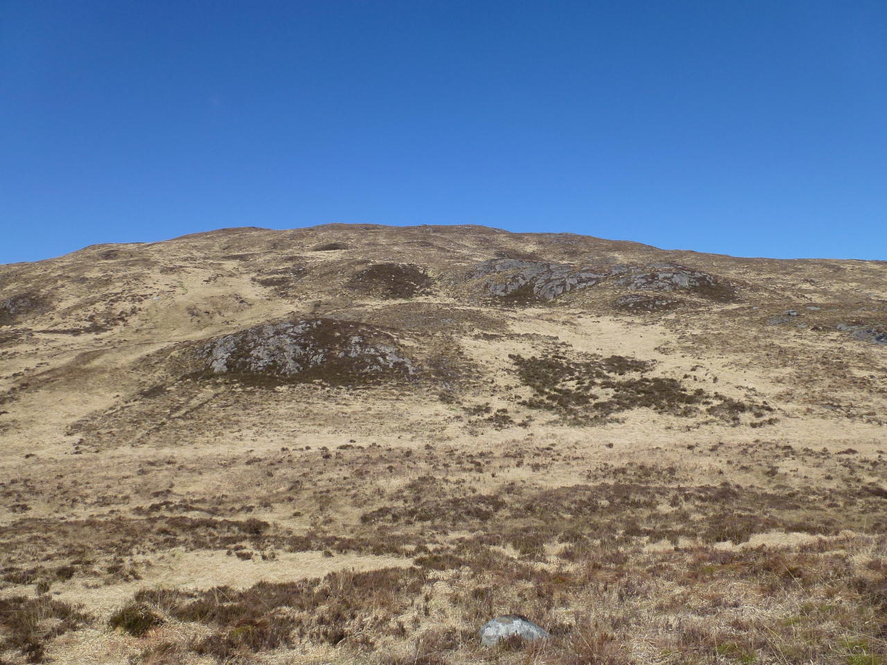
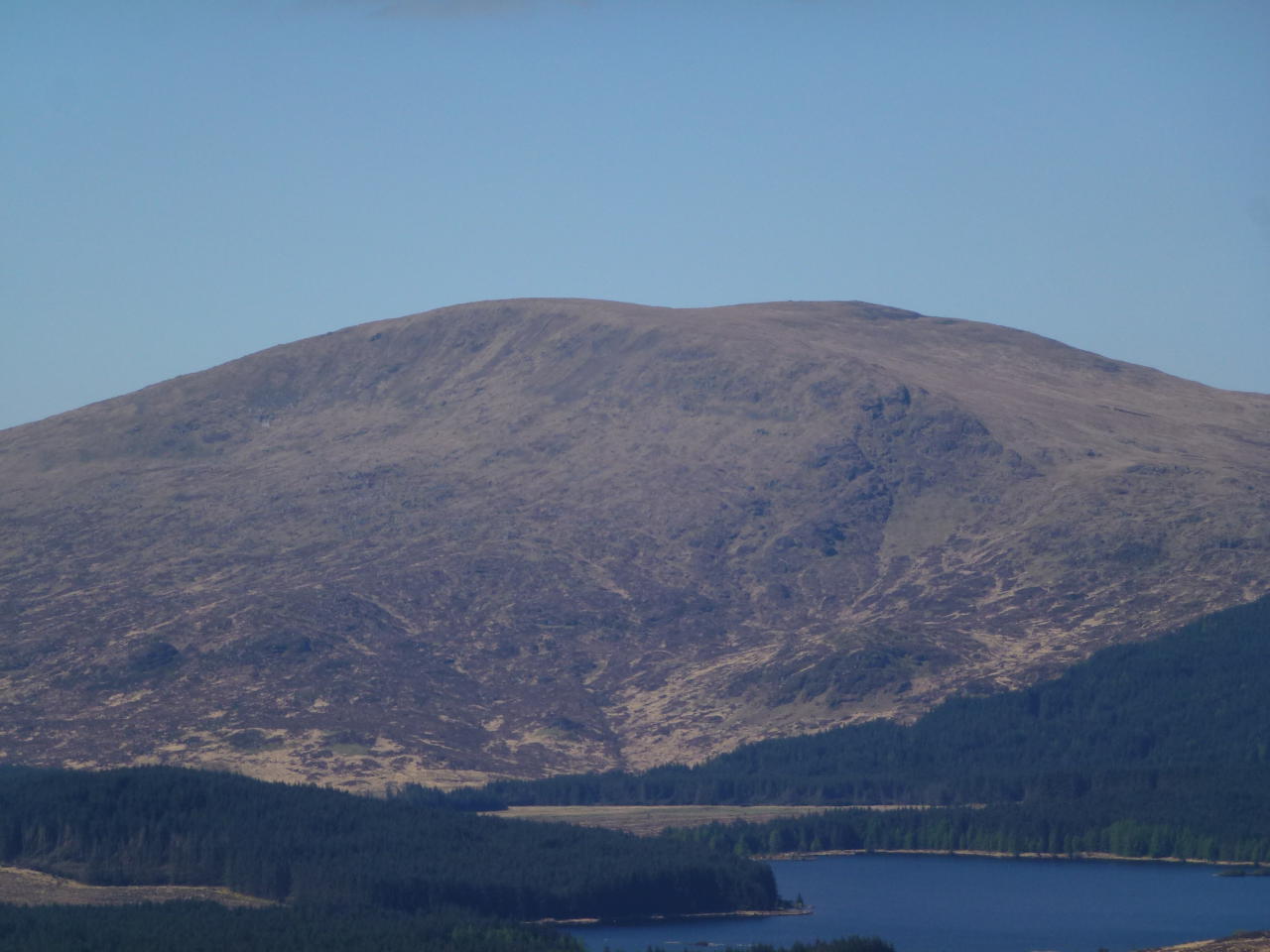
Our target, Craiglee. Pick a route, they’re all awful and there’s no paths. But look at that sky!
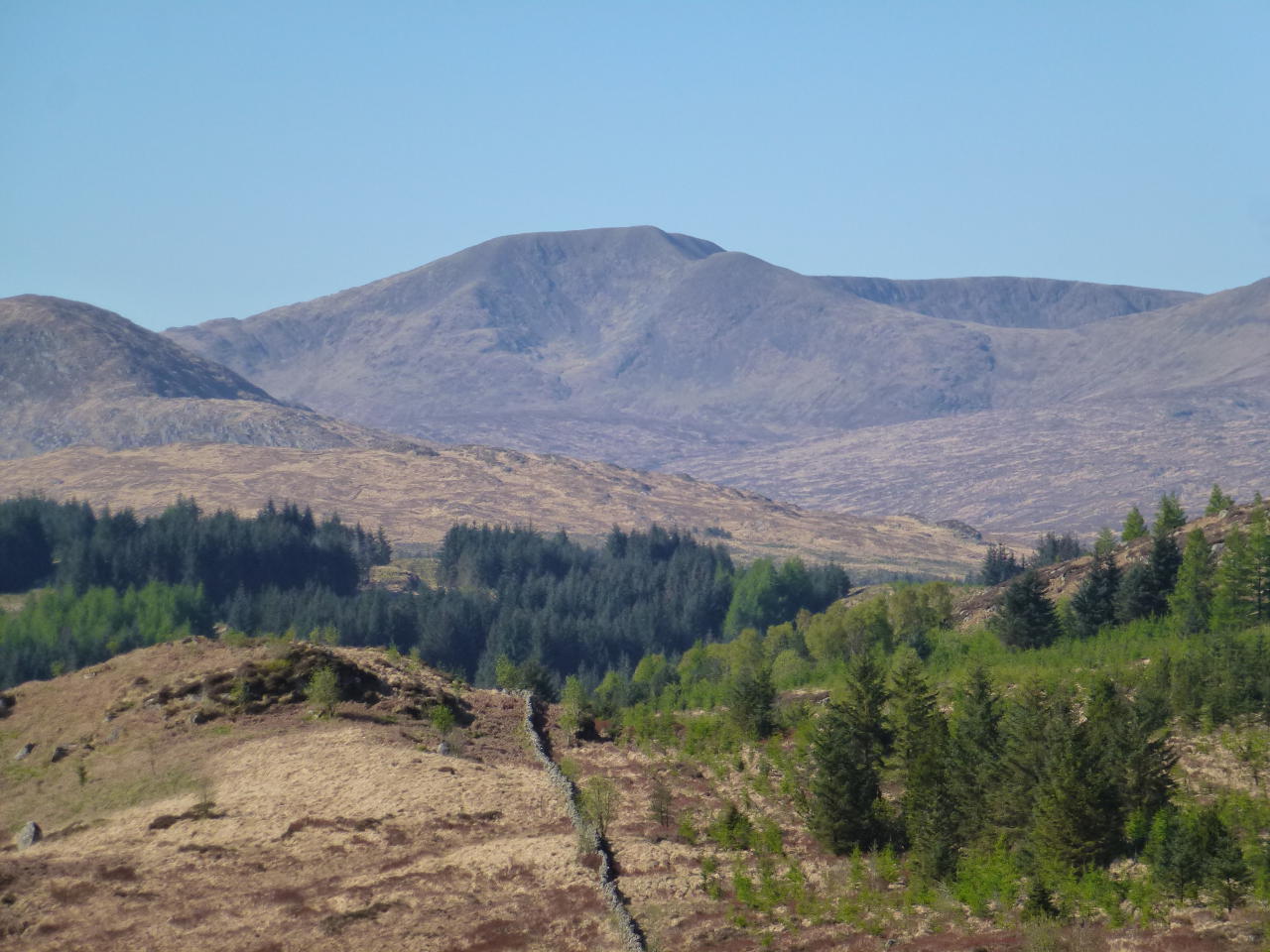
The views around and about before even reaching the summit were just a little fabulous. Here’s the local big-boy The Merrick SS-028. The foreground ridge descends to a bump, Little Merrick then down and up to what will become a new summit Kirriereoch. (SS-288 I think).
Here’s one of Loch Doon’s Southern end. Not enough wind to break up the surface. The hills in the background are Meaul, Carlin’s Cairn and Corserine SS-033. There are plenty of crashed aircraft on those hills, two Avro Ansons, a DeHavilland Mosquito on Corserine and a Douglas Dakota and Hawker Hurricane on Carlin’s Cairn. Shame they are so much work to visit.

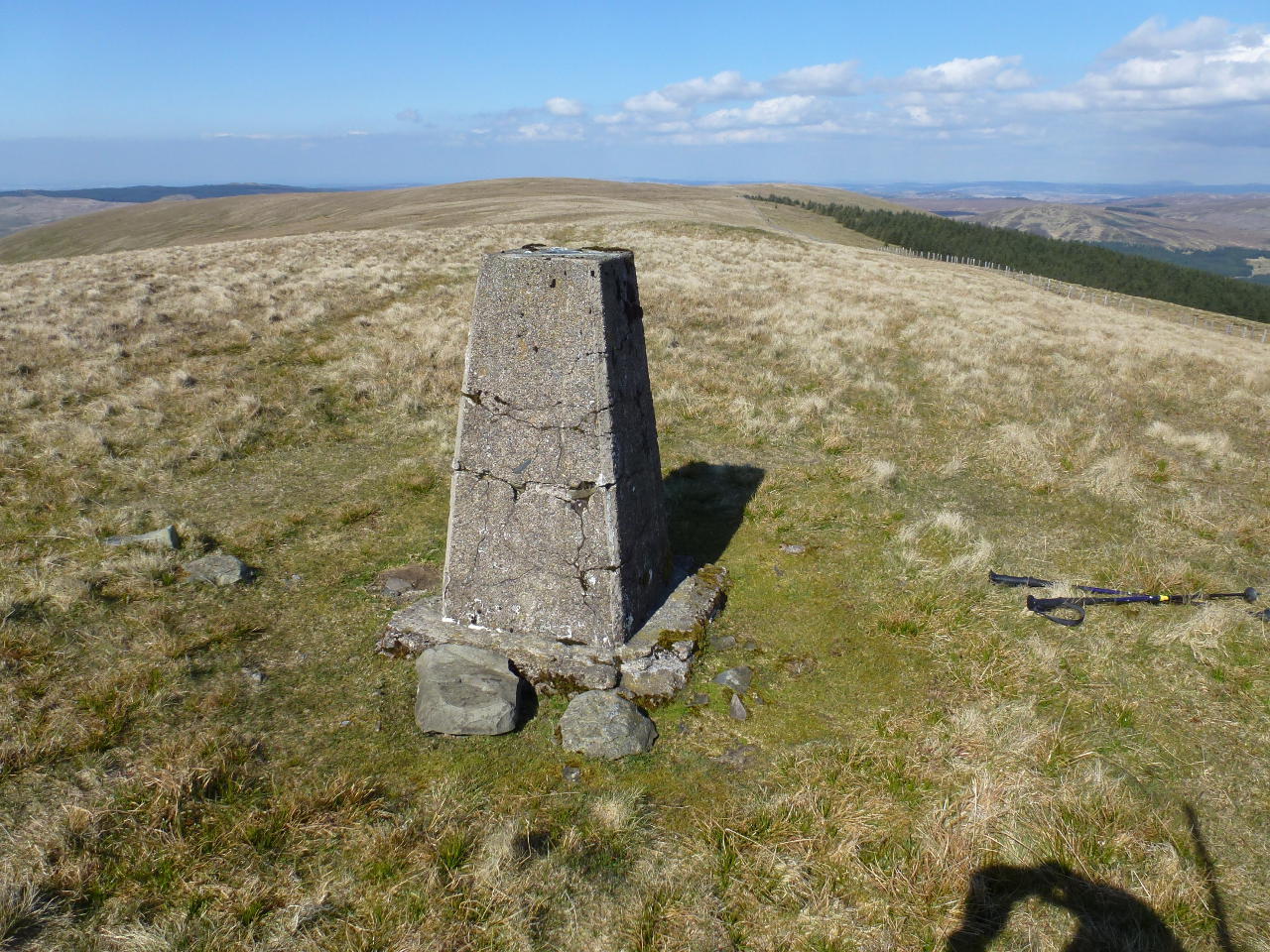
So after struggling with the vegetation I got to the flat topped summit and wandered over to the trig point. It was windy here so I dropped down into the lee and operated from there looking over Loch Doon. It was hard to concentrate. Really. 60m was quite good for the time of day and time of year. D-layer absorbtion makes this band not so good during the day in the Summer. I managed 5 SSB QSOs. I could hear Brian G4ZRP but he couldn’t hear me and Jonathon G2HFR was S9 but his local noise killed me. 40m was long, I worked HB8DHA with ease on SSB. 40m CW was quiet. I decided I really wanted to get the next summit done ASAP with such a long drive back and so I shutdown and packed up taking a few more pictures.
Shalloch on Minnoch SS-042
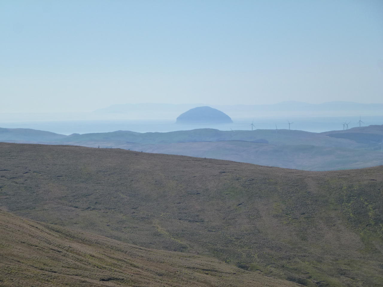
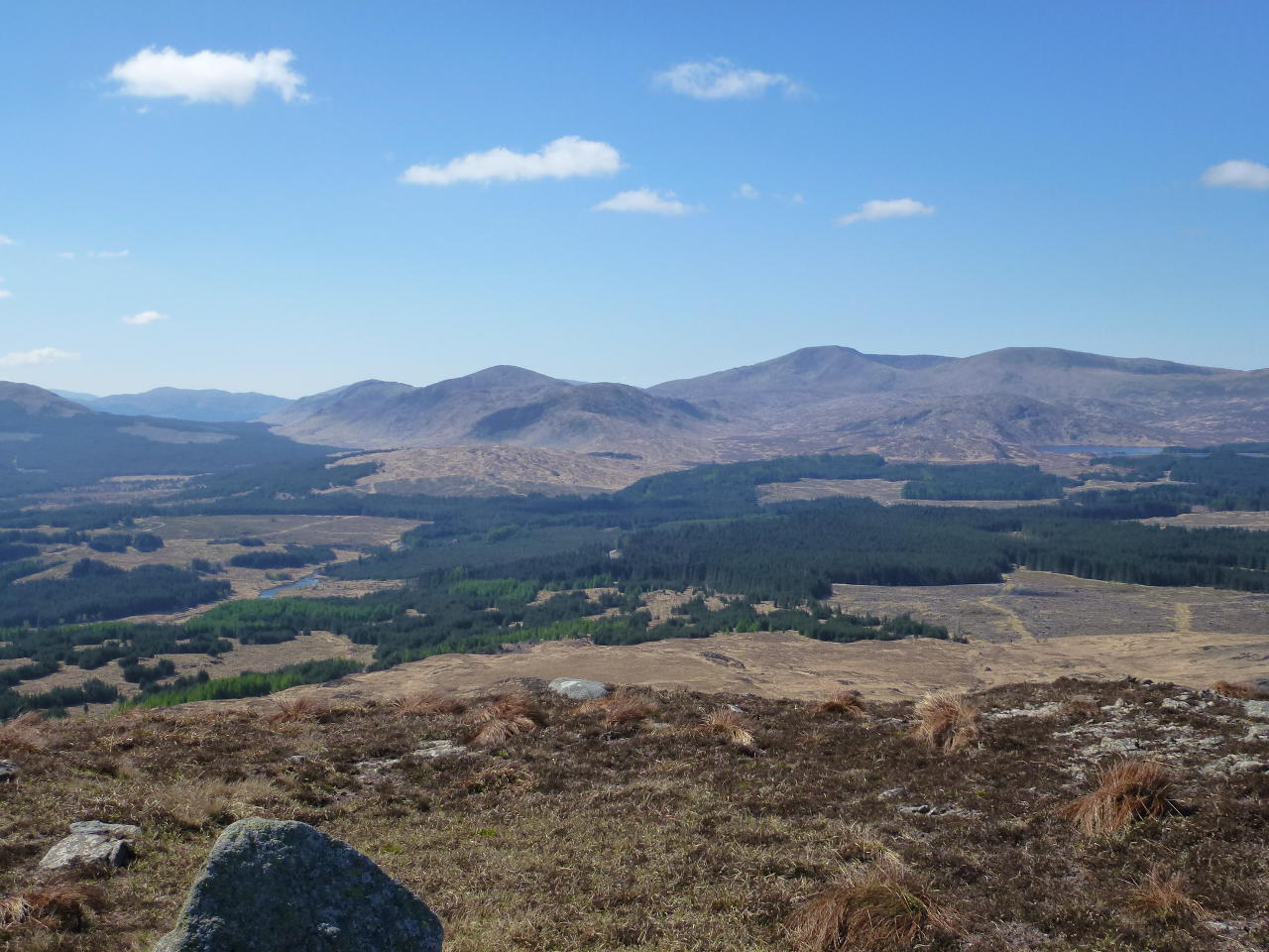
A selection damn difficult small summits… L-R in the far distance Millfore SS-092, Craiglee SS-150 (mostly obscured) Craignaw SS-096, Mullwharcher SS-073 (the hard to get to summit), Merrick SS-028, Kirriereoch (will be SS-288). The lake is Loch Macaterick. For scale, Merrick is 11.5km from here.
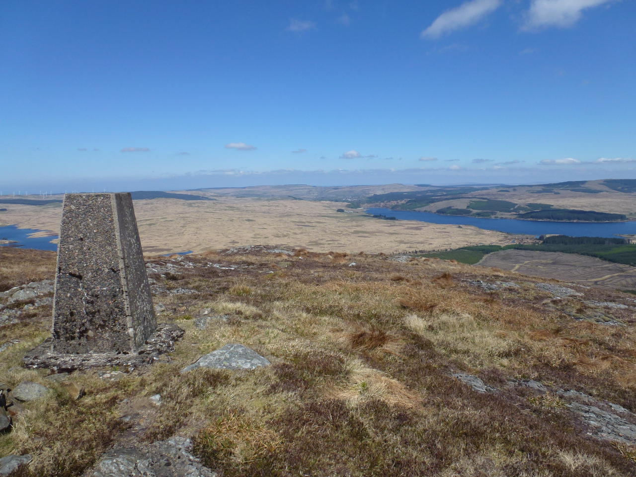
Finally a view North shoing the trig and the top of Loch Doon. The village beyond is Dalmellington and the loch to the left of the trig is Loch Finglas.
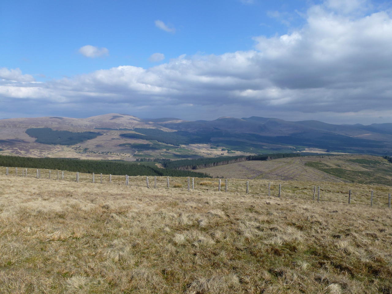
Descent down to the col was quite easy. I then decided to make directly for the path down to the car park rather than climb Wee HIll again. It was not easy crossing flat ground. In fact it was as hard to follow the pathless terrain and bust a new path through tussocks and heather (and some wet bits) as it would have been to climb the hill and descend the full path. Anyway back at the pickup it was 1/2l of water to go with the 3/4l drunk plus a Toffee Crisp and a can of diet Red Bull. Now only 17 SS summits on the bucket list.