My plan to activate all the SS summits South of Glasgow and Edinburgh continues…
There are 3 summits that are next to each other and make an obvious target to be done in one hit. None are particularly steep or demanding in theory needing about 30-50mins each to climb. The biggest issue in these parts is finding somewhere to park; the roads are narrow and the farmers have built their walls and fences to maximise land not verges.
The forecast was for heavy rain overnight Saturday but mainly dry and warm for Sunday with maybe an odd shower, possibly heavy.
Killleoch Hill SS-285
One the most recent additions to the SS list. I followed a classic route for this hill. The farmer is a bit of a GOML so I tried to keep a low profile to avoid run-ins. I parked at NX880801, a track not shown on the 1:50k map. Up the track in the woods until the gate on the left. Marked “Private: No public right of way” but you ignore that as it is not legal under the outdoor access rules that came into force over 10years back. Follow the track across fields and try to not be seen. Pass through the electric fence using the springy wire hook. This seems to serve little purpose other than to harass walkers. Turn right up the track, electric fences either side into the woods. At the gate on the left, through the gate, across the burn, through the next gate into the fields of cows. They watched me with interest so I skirted the far edge of field by yet another electric fence. In the corner it was bag off, under wire, climb wooded fence and lift bag over into 2ft gap between fence and wall. Over collapsed wall section and study amazing amount of wet vegetation.
The bracken and grass is waist height so it was on with gaiters and through the grass . There was a track of sorts but I was soon soaked. At the next wall I tried to cross but my boot slipped several times on the wet, mossy stones. Then I wedged my boot in the wall. OK wall 4, FMF 0. Final attempt and a loose rock slipped off the top and “bounced” off my left hand. I didn’t realise I knew so many rude words. Finally across, the score wall 5, FMF 1  Across another field of shorter wet grass. Gordon Bennet! Turn right at the end of the woods and cross another wall (easy) and we’re nearly there. Finally I came to the final wall, the summit was about 25m horizontally along. Yeah. I had enough walls and gates and fences so I set up by it using the fence posts to support the antenna and the fence wire as a ground reflector.
Easy activation on 60m SSB. 40m SSB was fair, 40m CW was quiet, just one QSO. My satellite spotter let me down. It didn’t boot up but there was phone coverage. Annoying as I have some prepaid credit I bought for Morvern I wanted to use up. As it wasn’t working it was left in the car for the rest of the day. It drizzled a bit and I was mobbed by flies. It was so humid coupled with the exertions I was complete soaked in sweat where I wasn’t soaked in water from the grass and bracken. Yeuch.
Route back was reversed excepted for the narrow section between wall and electric fence. I saw a gate the far side of the field and thought there was a path through the bracken. There wasn’t and the bracken was taller than me. Now I was wet with rain water all over. And more sweat. Double yeuch. Back to the car, can of Red Bull and off to the next.
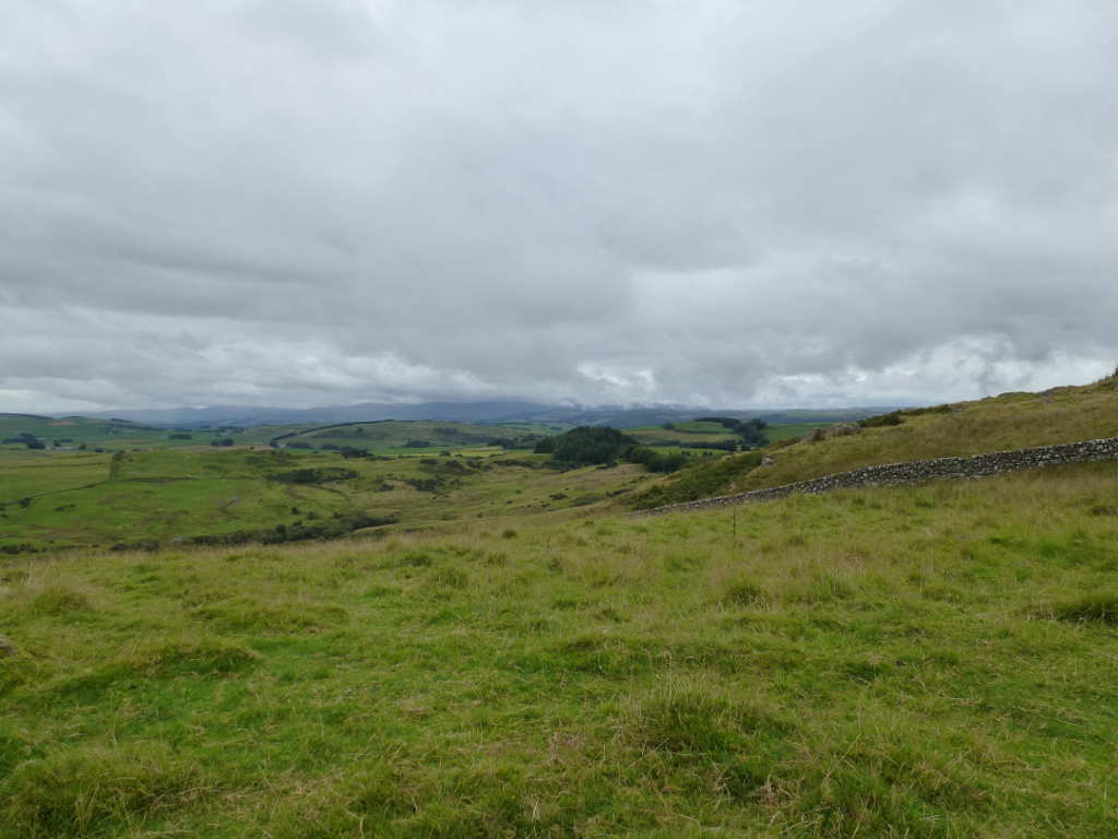
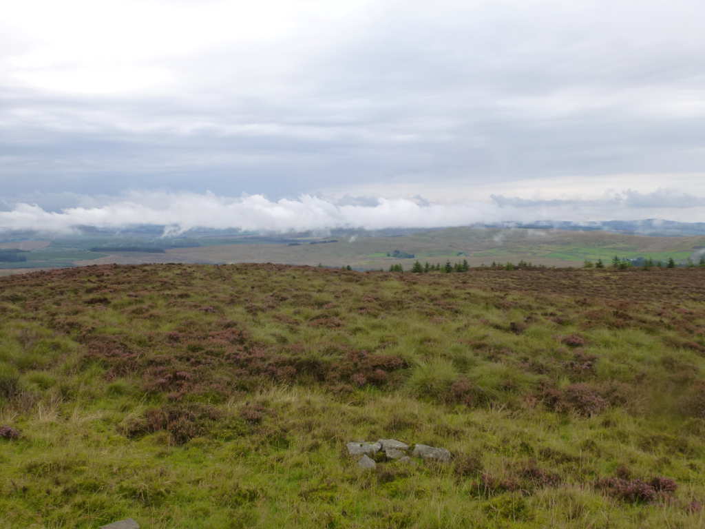
4 gates, 1 elastic electric fence & 3 walls. Rubbish views in humid and overcast WX.
The best of a poor set of views.
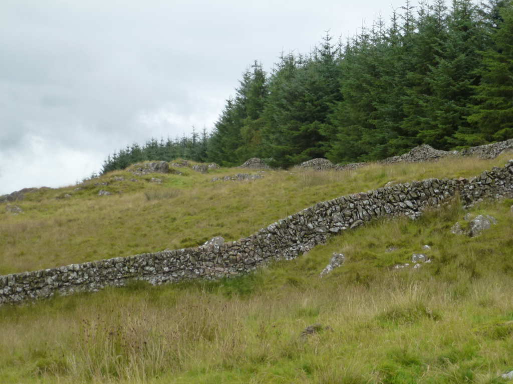
The summit across the wall that wasn’t crossed.
#Bishop Forest Hill SS-228
It’s about 7km along the road to the parking place for this summit. With the AC roaring as I drove, I was quite a lot drier when I got here. I was going to park at the cattle grid at Marglolly Bridge where Phil G4OBK parked. But my car has low ground clearance and the grass was very long here. As I got out I could hear the water sizzling on the hot exhaust and catalytic converter and also could smell hot grass. So I moved back to the cattle grid at NX841803 and parked on the short grass.
There’s an obvious ATV track running to the trees at NX844801 and I followed that then when flat out up the hill to the summit. Shorter long grass this time but again i was very sweaty at the top.
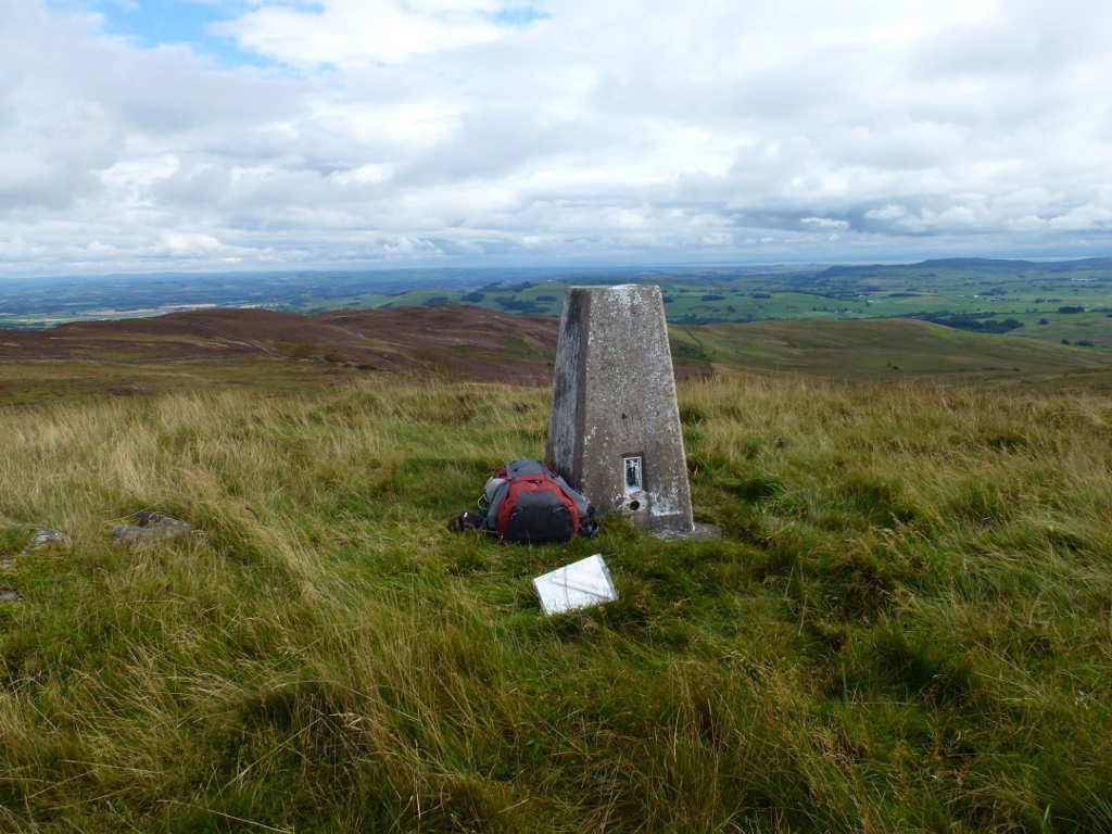
Trig point, Bishop Forest Hill. The top was open so I used it to support the pole.
It drizzled again during setup and whilst I was operating. I saw a huge shower pass to the North but I didn’t need to do anything except keep the log out of the odd spots that fell. Conditions on the bands were rubbish. I worked 4 on 60m including Geert PA7ZEE for a new country I think and 6 on 40m SSB. No takers for 40m CW. Pah! I had another summit to do so I packed up and left.
Significant heavy showers to the North West of me. Ha, ha, ha! The rain missed me!
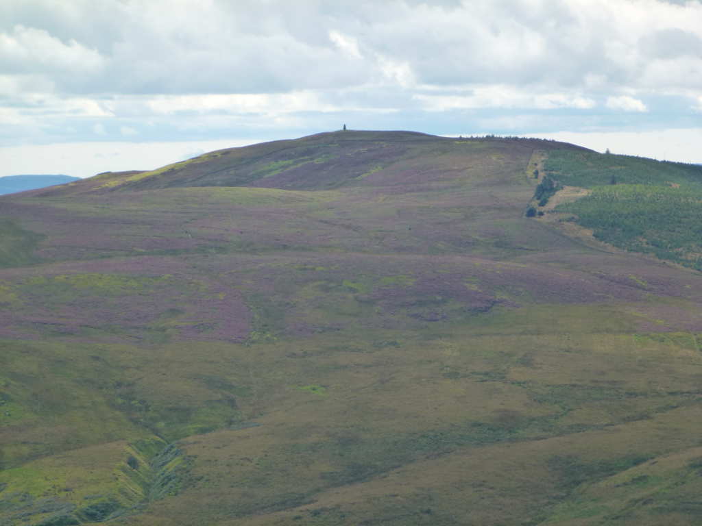
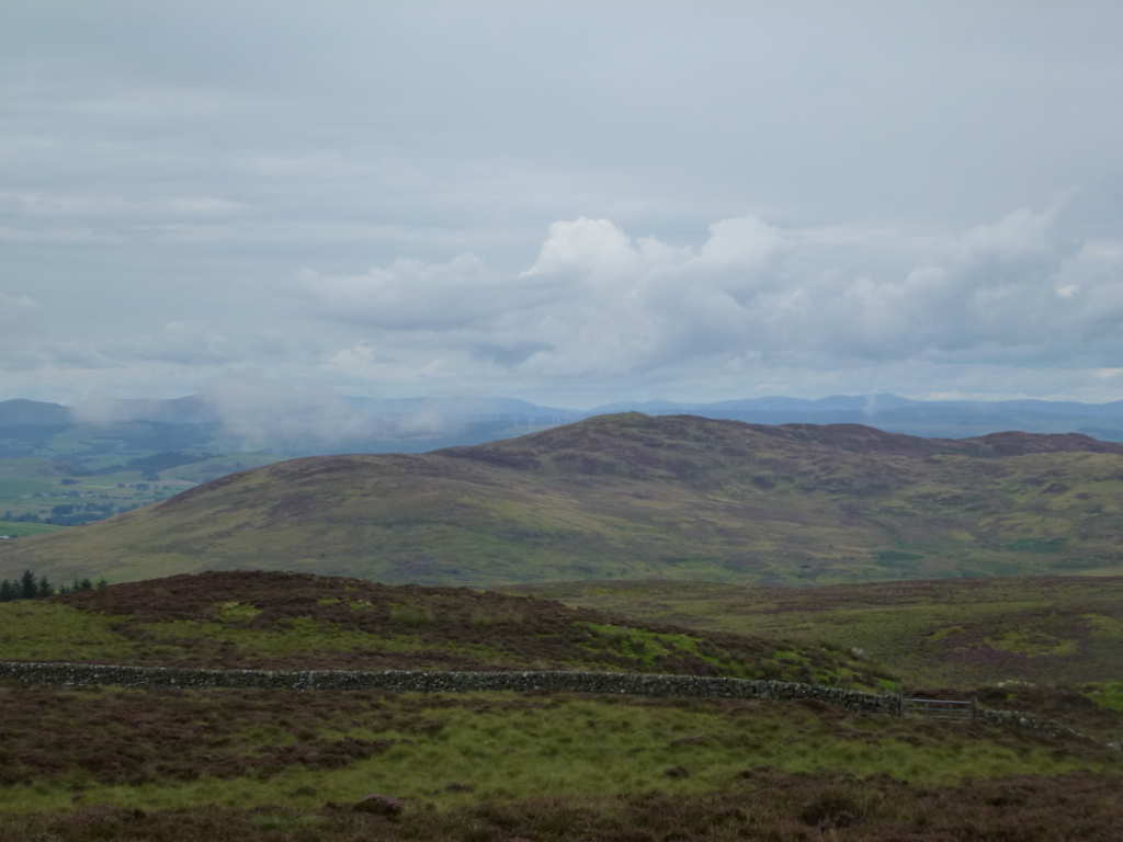
Looking across the valley to the next hill, Bennan SS-224. Turner’s Monument is clearly seen. Think of it as a trig point on steroids.
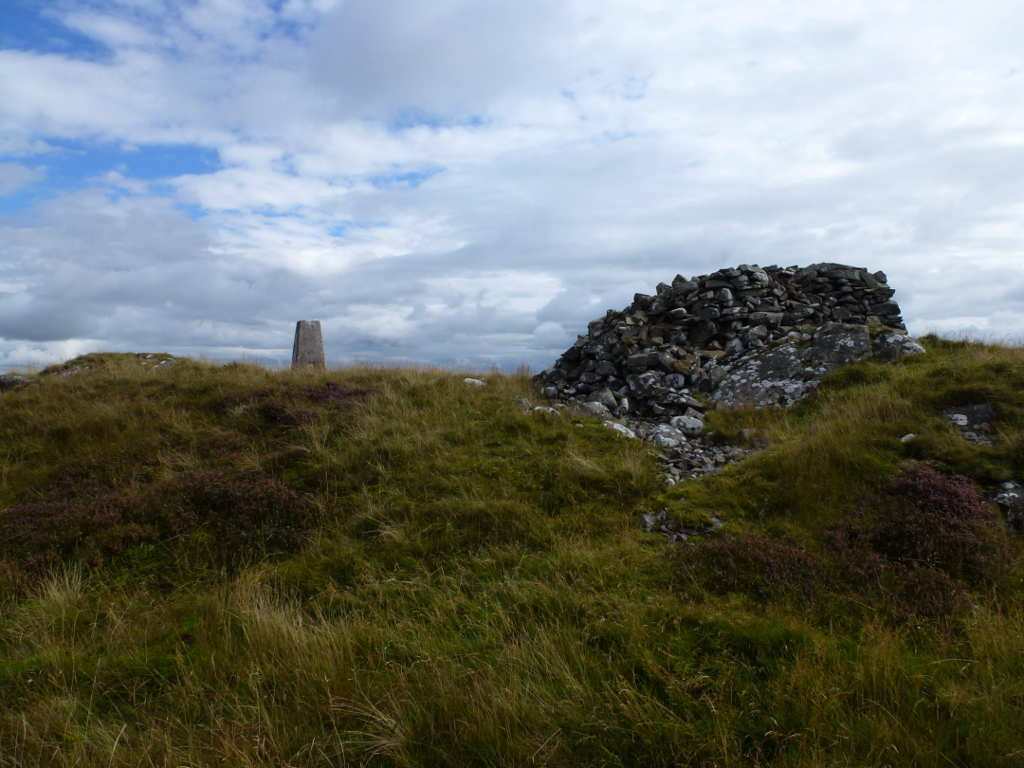
It started to brighten up a lot after the showers had passed through… the day was getting better. Trig point an cairn.
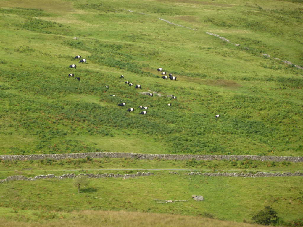
What is not so well known is that there are significant numbers of Pandas to be found in this part of Scotland. Here is a large Cupboard(*) of Pandas eating the bamboo shoots. Cupboard? Yes, look it up, I had too.
Bishop Forest Hill from the road. It was now a nice day. Easy hill with better views than Killyleoch. 35mins up and 18mins down.

Looking back Killyleoch Hill. The quarry will slowly eat it away although it’s been running for 100+ years to make a hole that big!

Bennan SS-224 (Turner’s Monument)
Another 8km to this one. There’s parking for 2 cars off road at NX829762. Through the gate and follow the obvious path signposted “Turner’s Monument”. Easy. Except the path disappears at the gate at NX828766! I followed the ridge line over the easiest terrain of the day though there was more heather to avoid. It started to drizzle and the sky now looked terrible. Just as I got to the summit it rained. Well more a kind of monsoon! Goretex on. It’s so long since I’ve been out in real rain I cannot remember where or when! I was up here after 35mins of effort so I wasn’t going home without at least 1 QSO to claim the activation and unique. After 10mins I setup the J-pole and called and called on 2m FM. Zilch. I couldn’t get a spot out either. After another 30mins of downpour the rain subsided and then stopped.
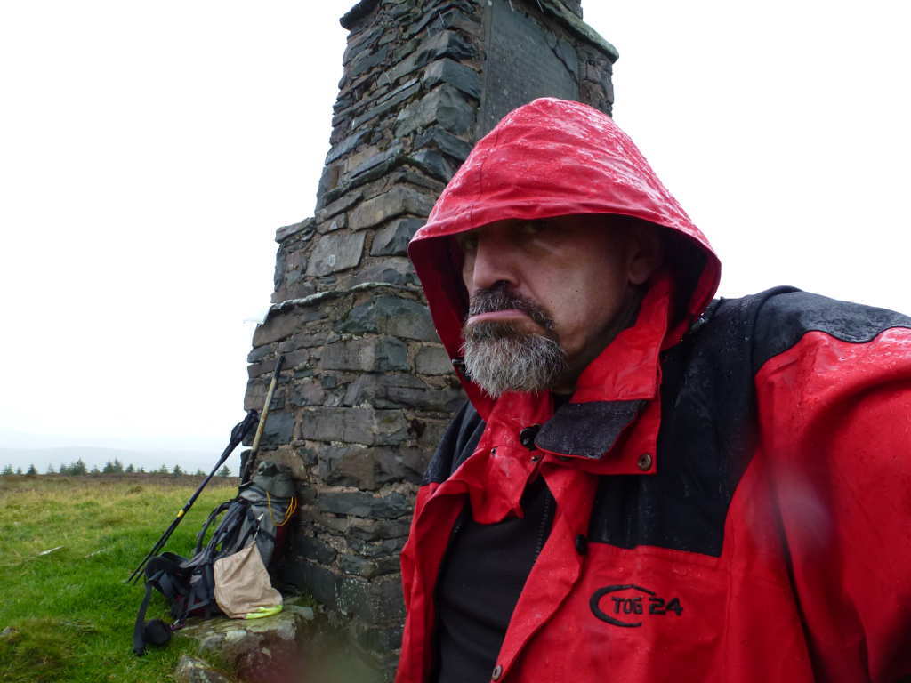
Waiting for the rain to stop. A glum MM0FMF regrets taunting the rain on the previous hill.  Turner’s Monument dating from 1841 behind me.
As I was now as wet as ever I set up and tried 40m SSB. Only Italians on the band and none interested in me. But I could now get a spot out and tried 40m CW. Hardly a massive pileup but 10 QSOs was 9 more than I needed for the unique.
Looking North after the rain stopped. These low clouds swept past for the entire activation often reducing visibility to a few metres.
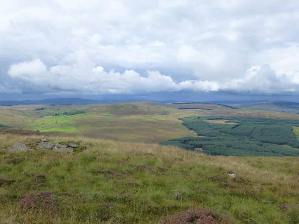
Bishop Forest Hill SS-228. By far the best of the 3 hills today.
Criffel SS-130. Behind it is The Solway Firth and the land in the distance is England and the Northern end of the Lake District, LD Region.

Apart from getting soaked with wet grass, soaked with my own sweat and soaked with rain, it wasn’t a bad day. 3 more SS summits off the list. 3 more uniques for me. Shame the propagation was a bit rubbish. But you can’t have everything!